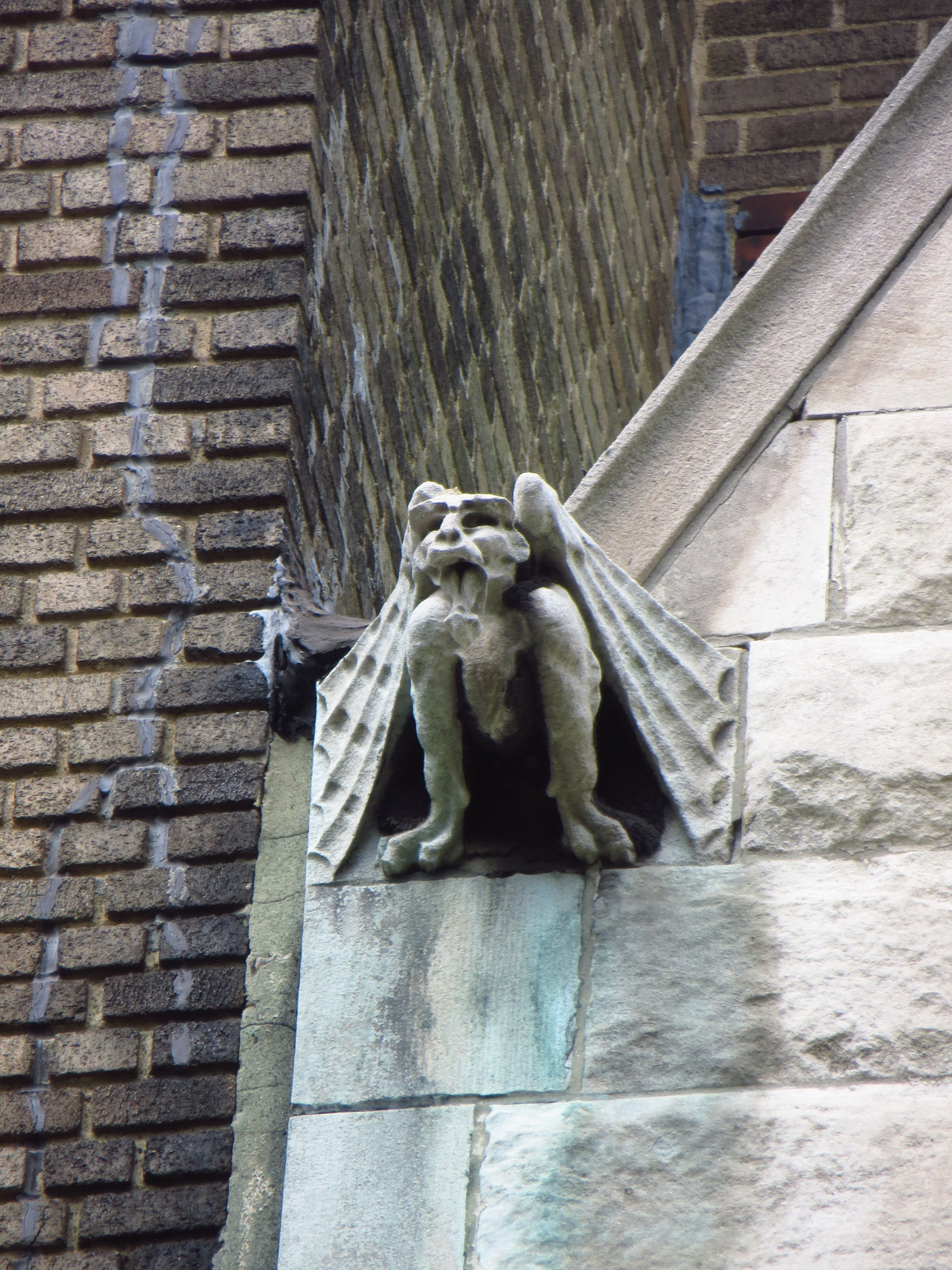
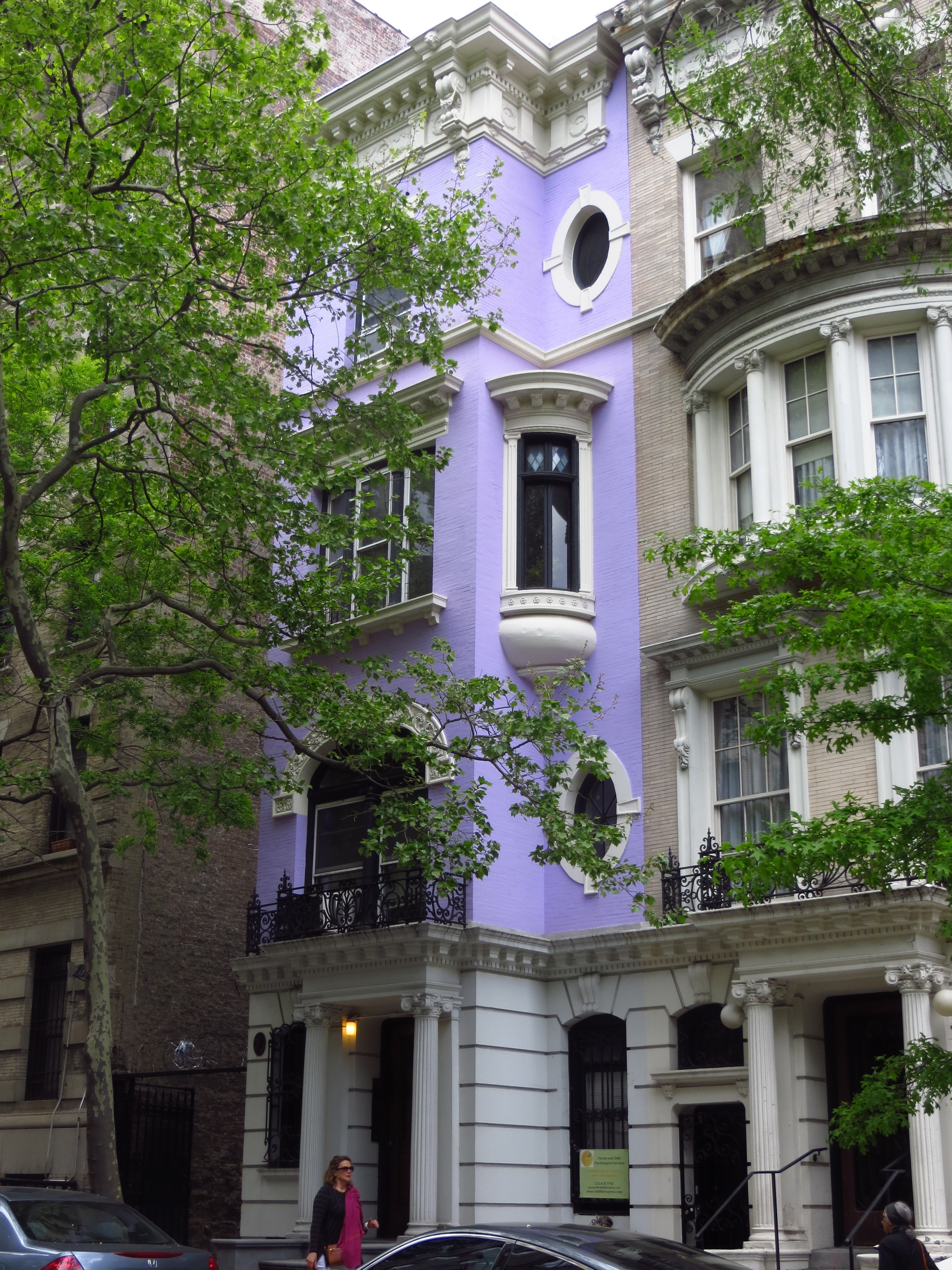
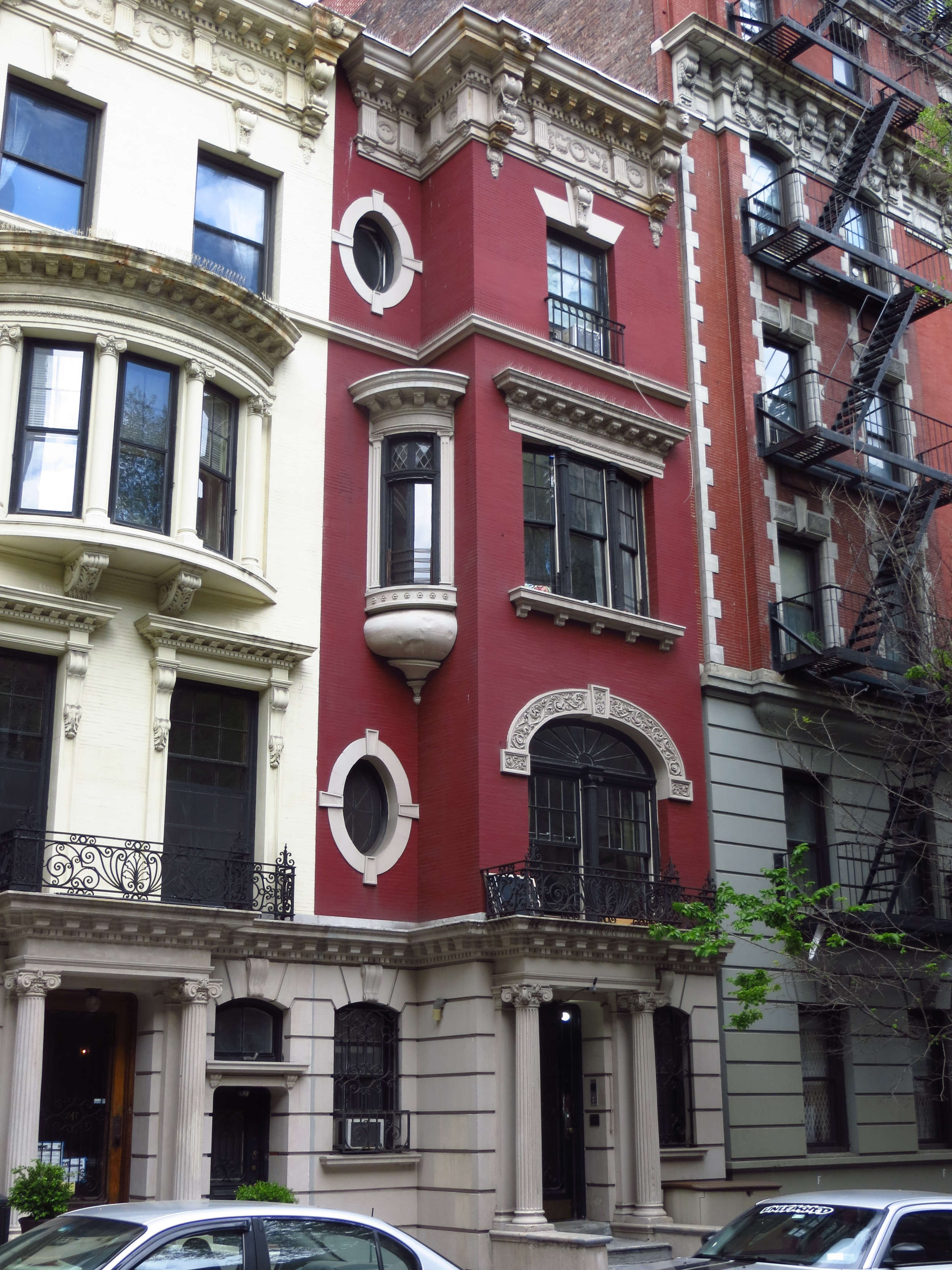
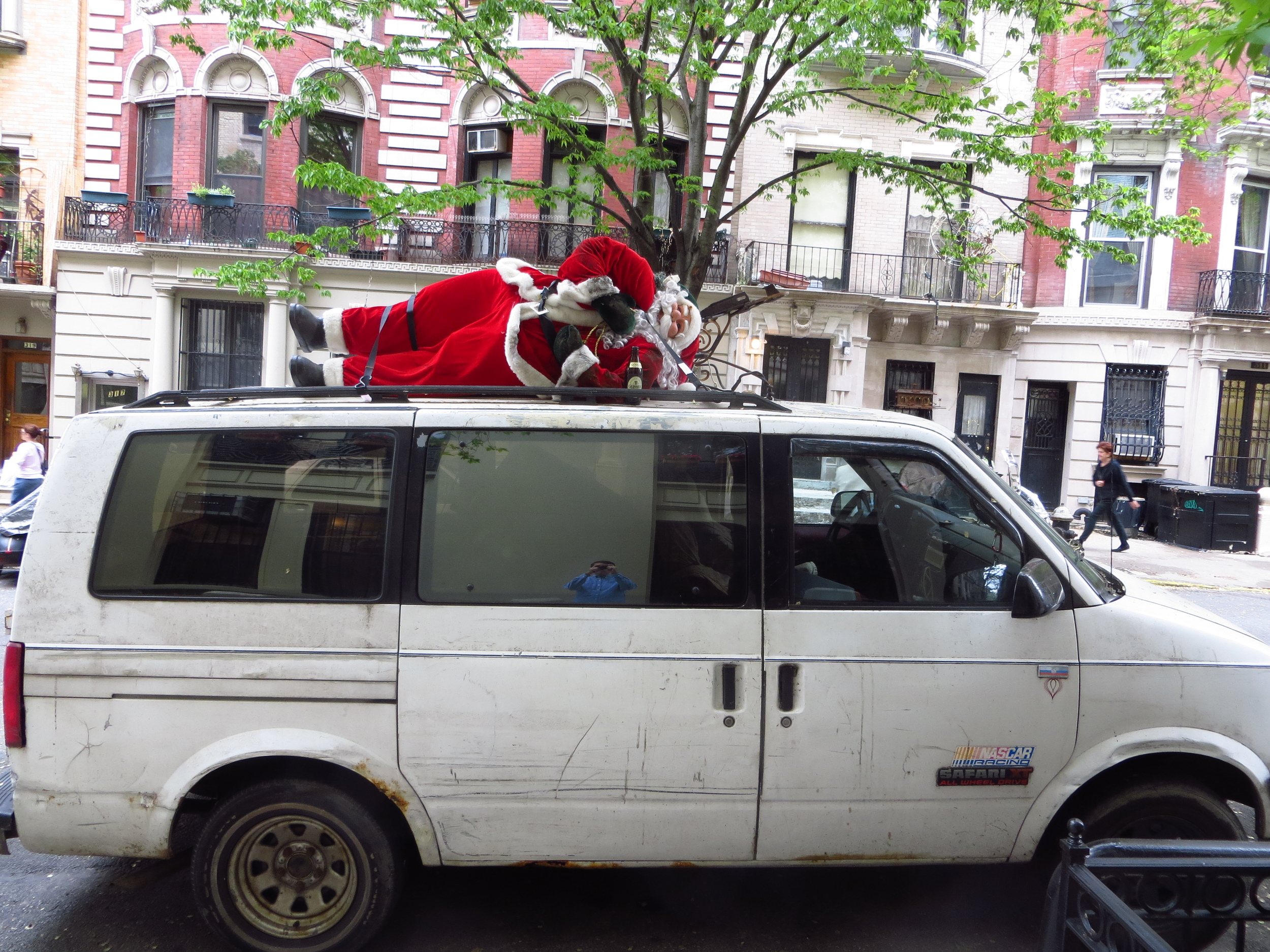
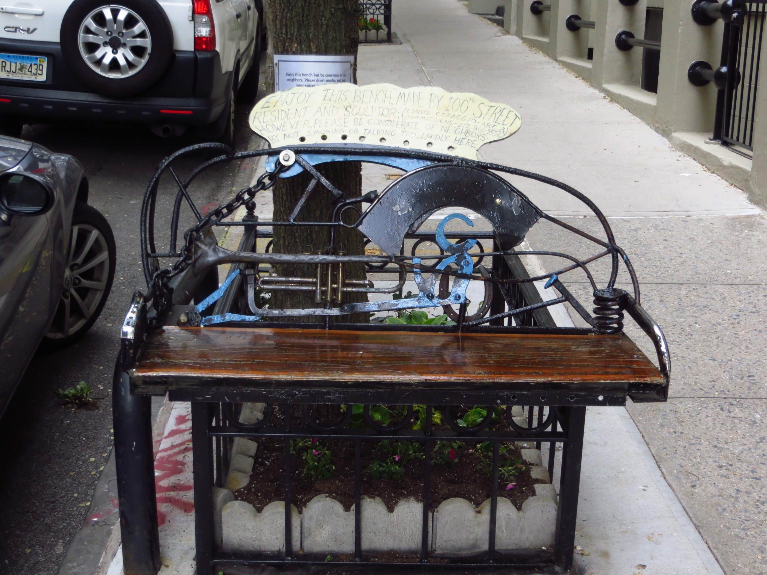
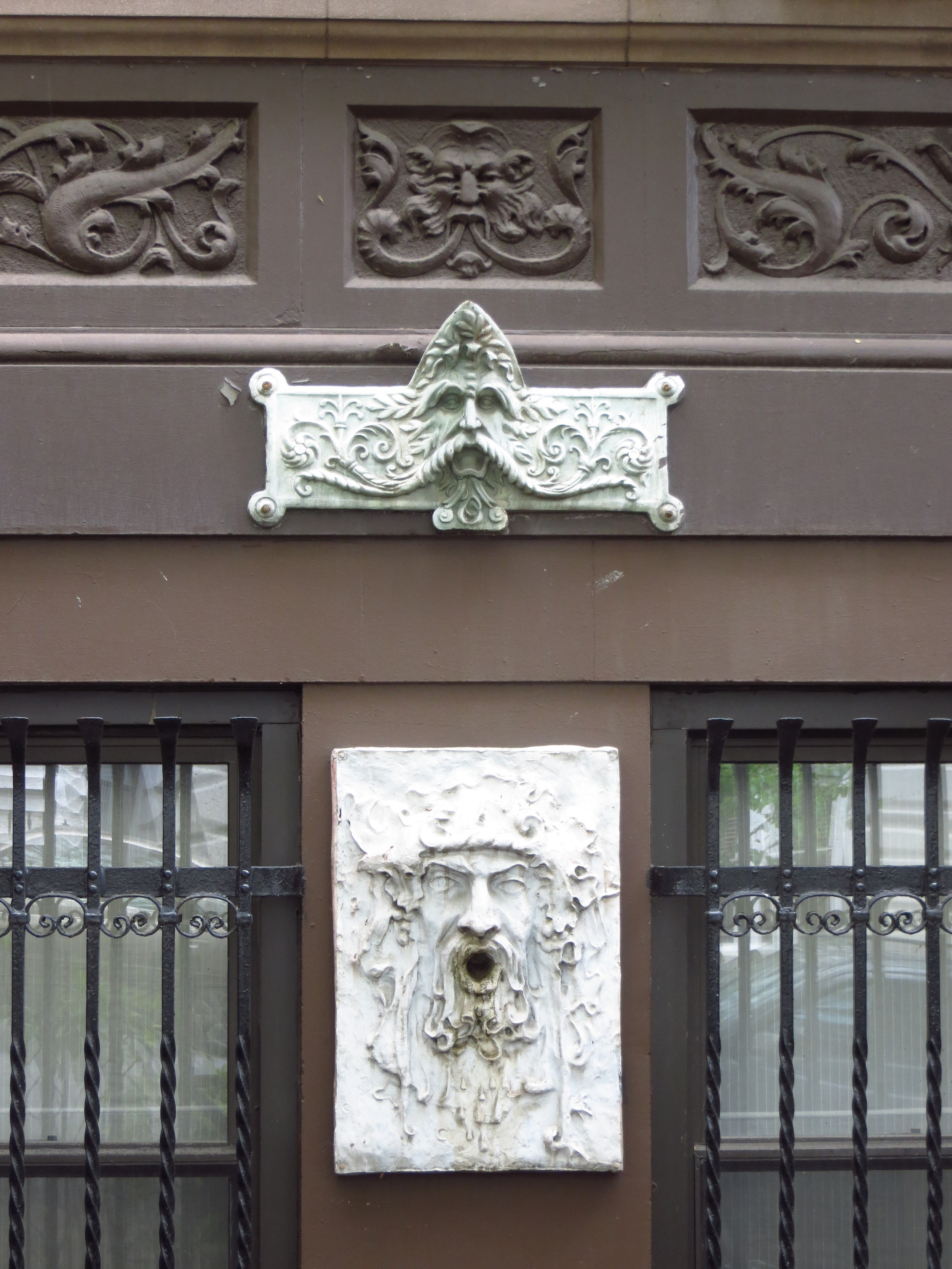
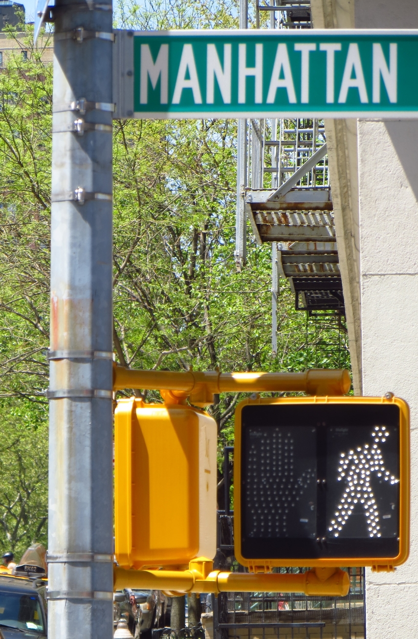
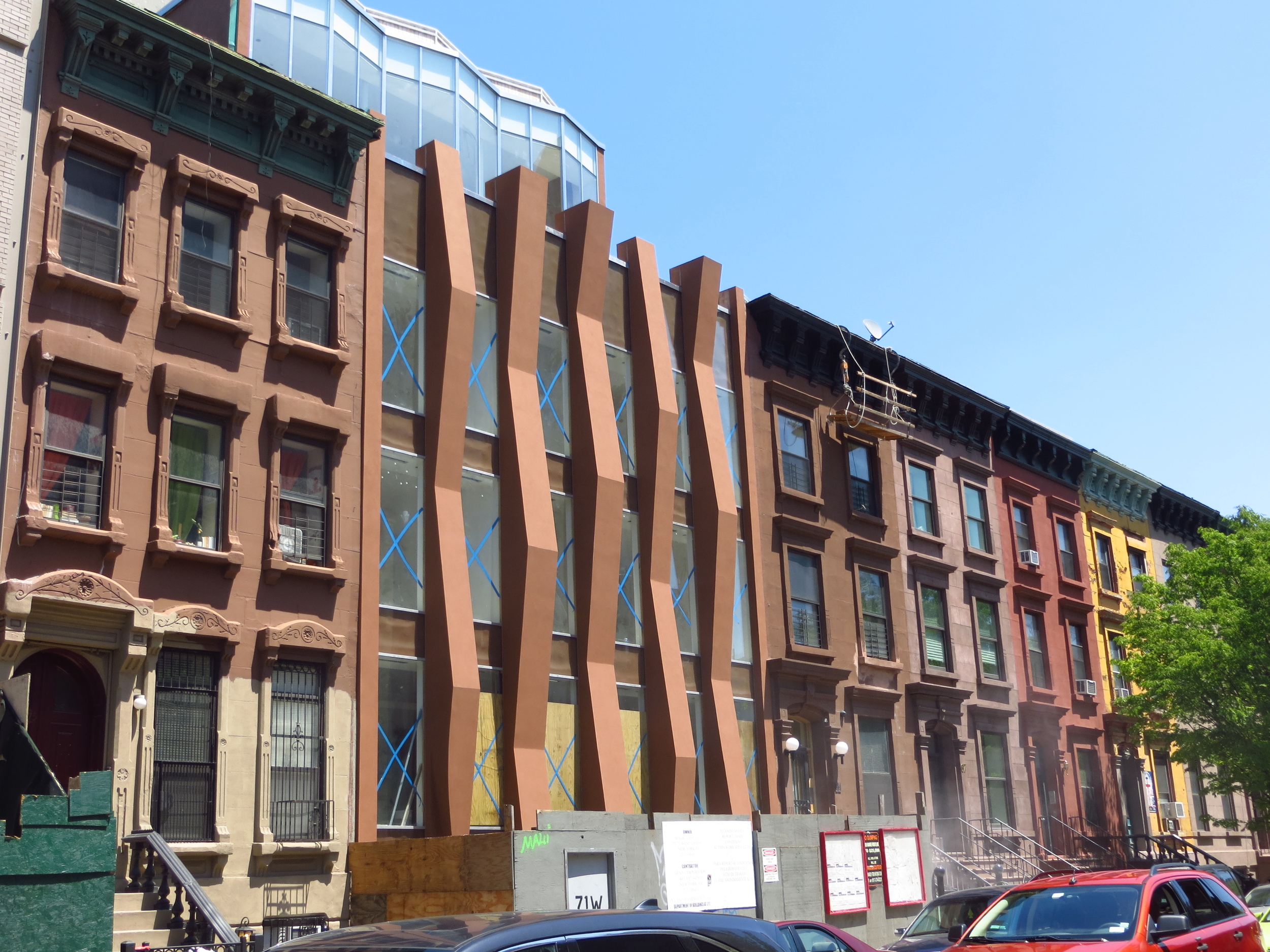
Upper West Side (North)
Took a quick walk to fill in a gap between two other walks. I went about 5 miles from W. 105th to W. 97th.
Today's walk
I don't have any interpretive comments for this one. My earlier Upper West Side post says most of it.
Walking Every Street in Manhattan
In October 2013 I had an idea (it turned out not to be an original idea, but hey, what are you gonna do?). I thought it would be fun to walk every street on the island of Manhattan and take some pictures along the way. A quick Google consultation tells me that this is a 508 mile proposition, which actually doesn't seem that daunting. Here it goes.
Took a quick walk to fill in a gap between two other walks. I went about 5 miles from W. 105th to W. 97th.

Today's walk
I don't have any interpretive comments for this one. My earlier Upper West Side post says most of it.
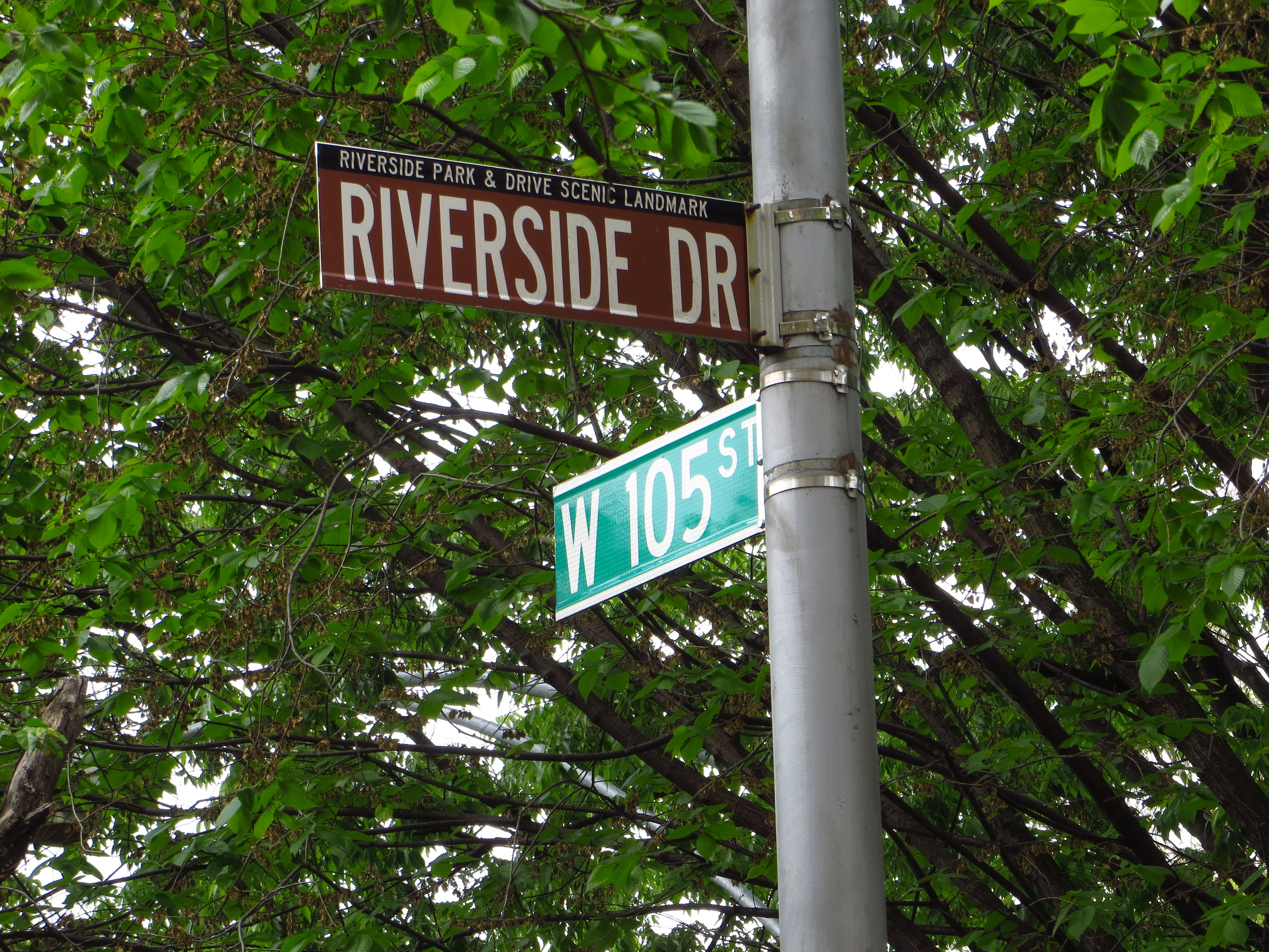
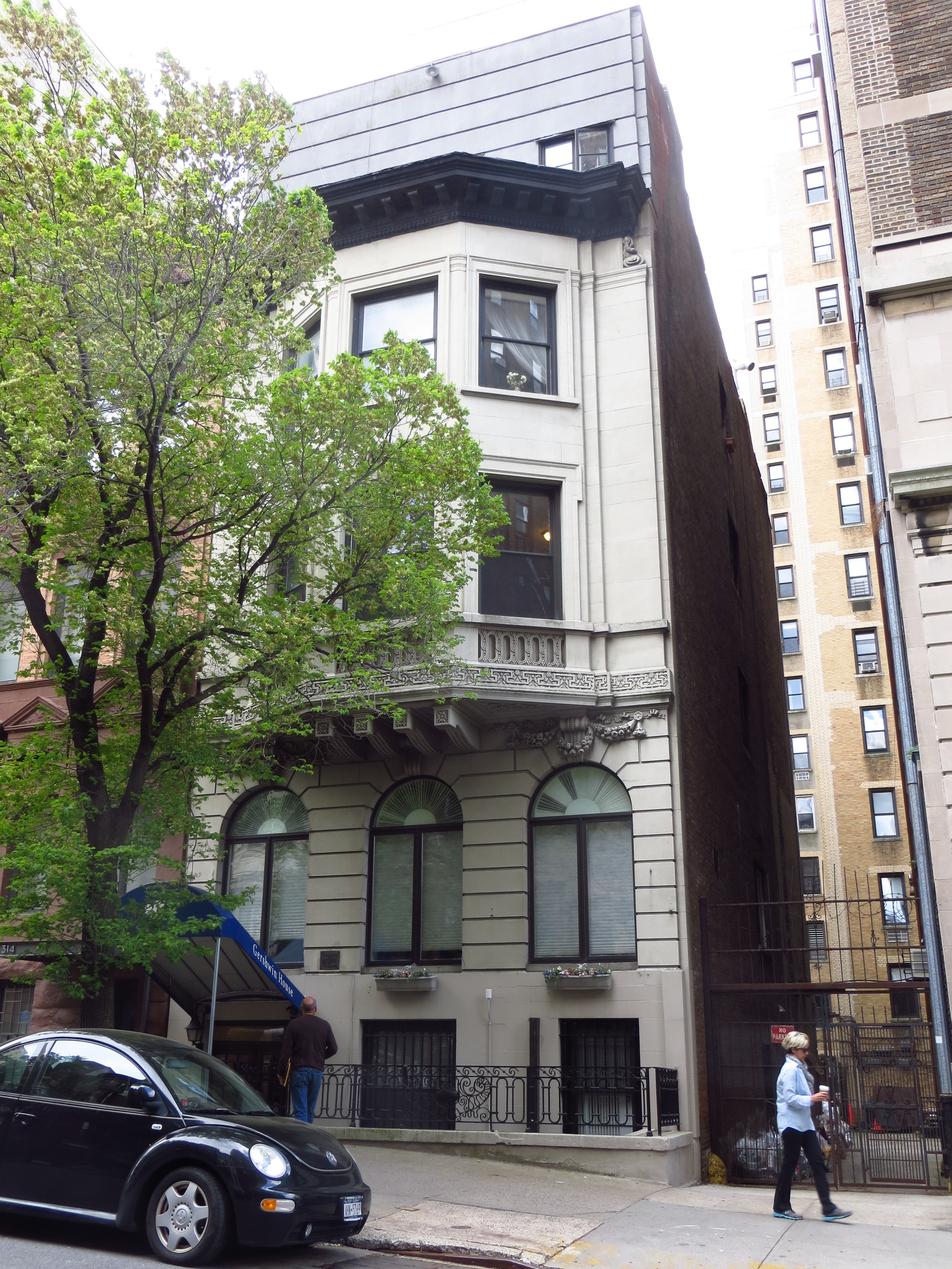
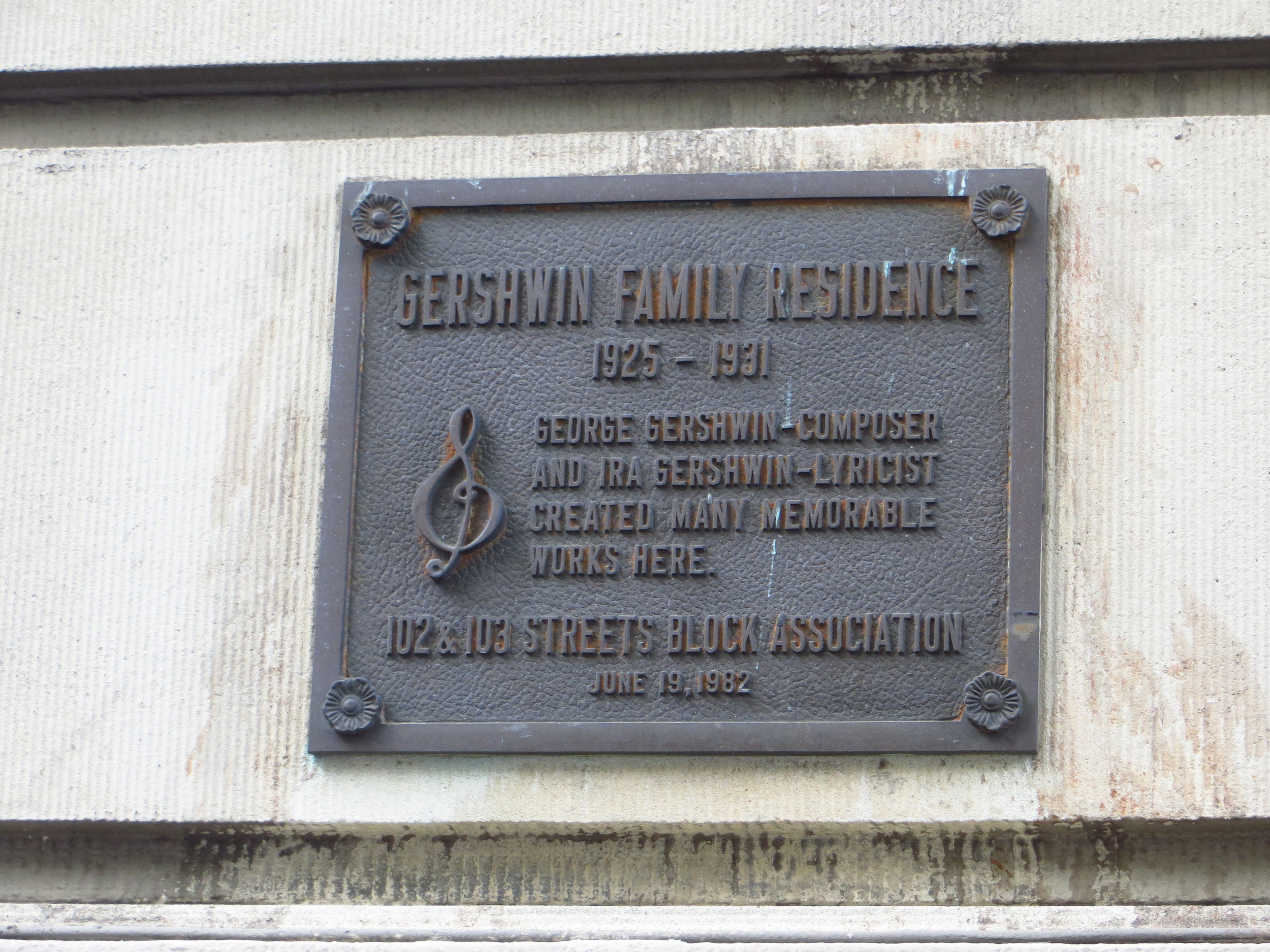
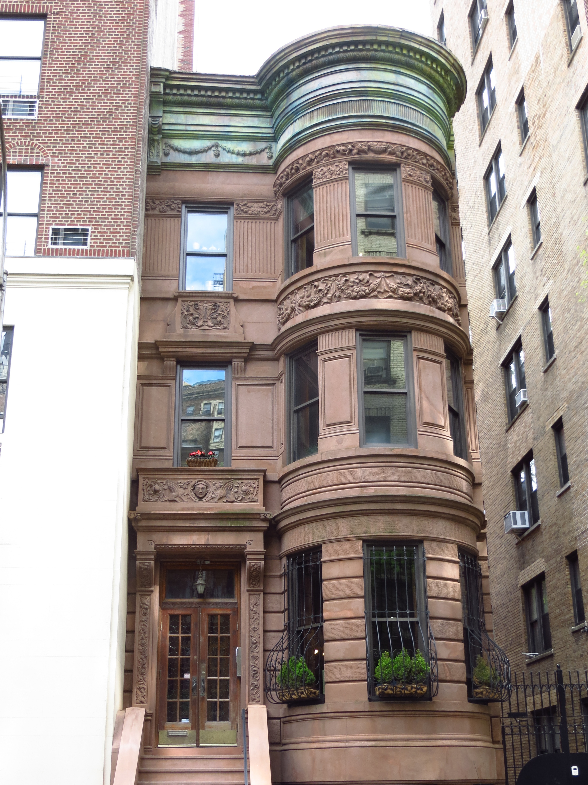
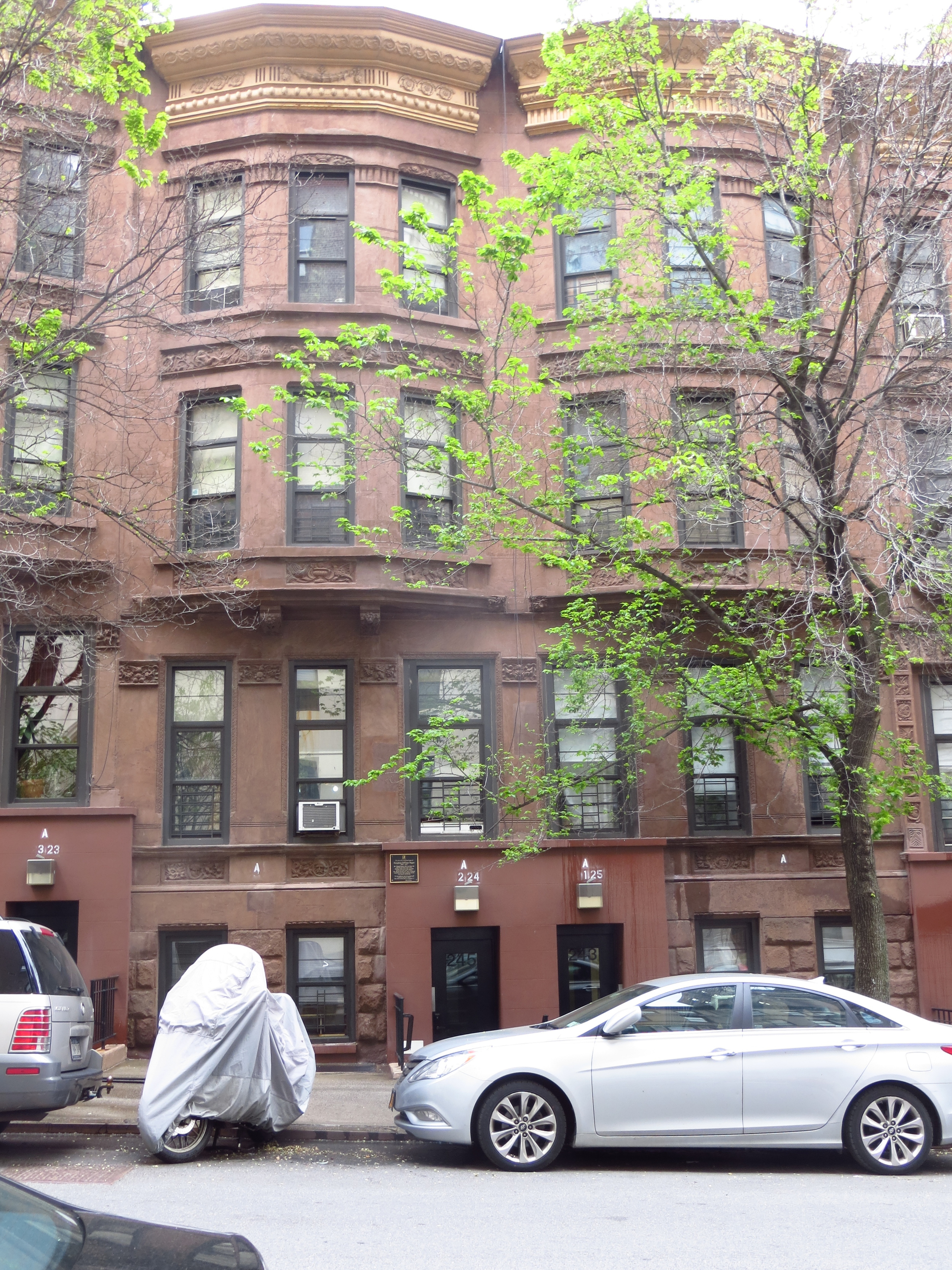
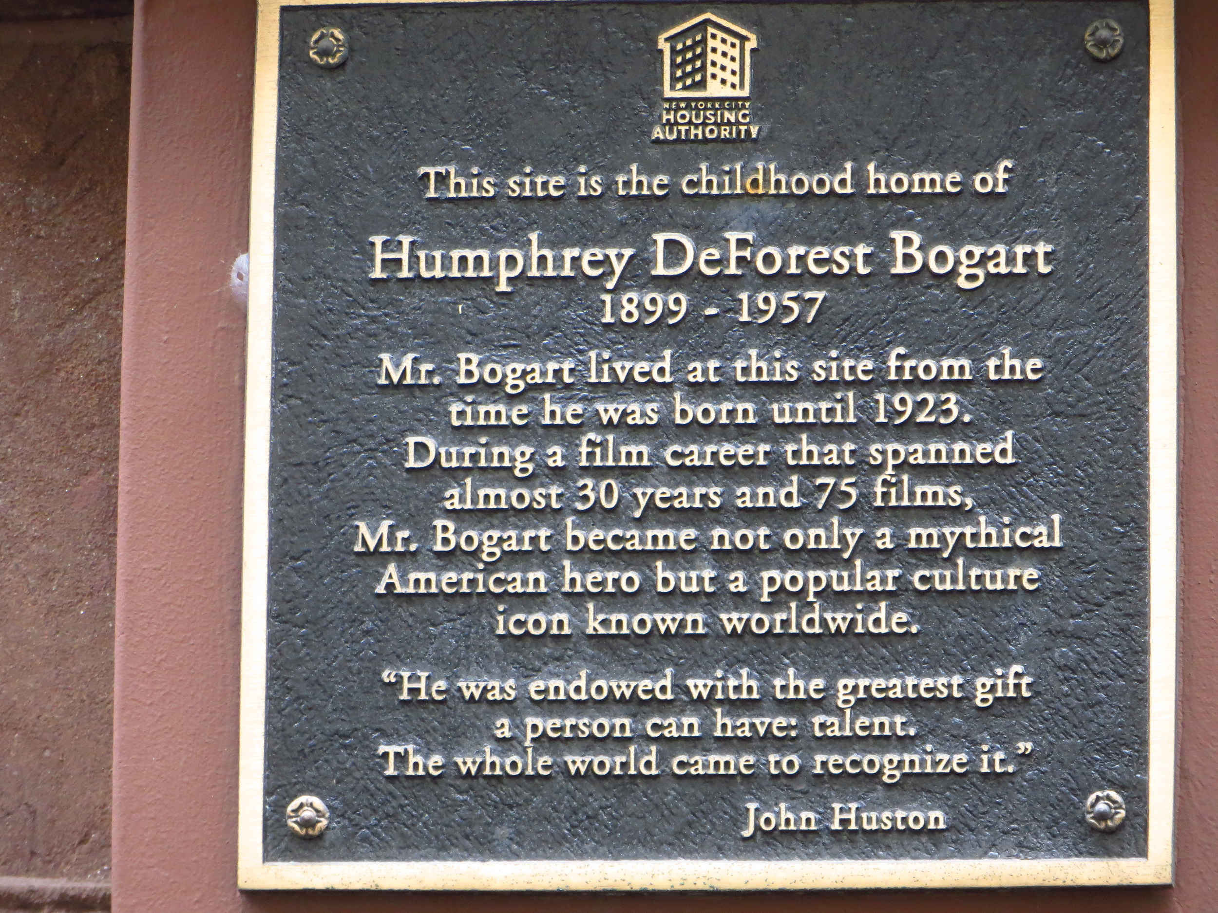
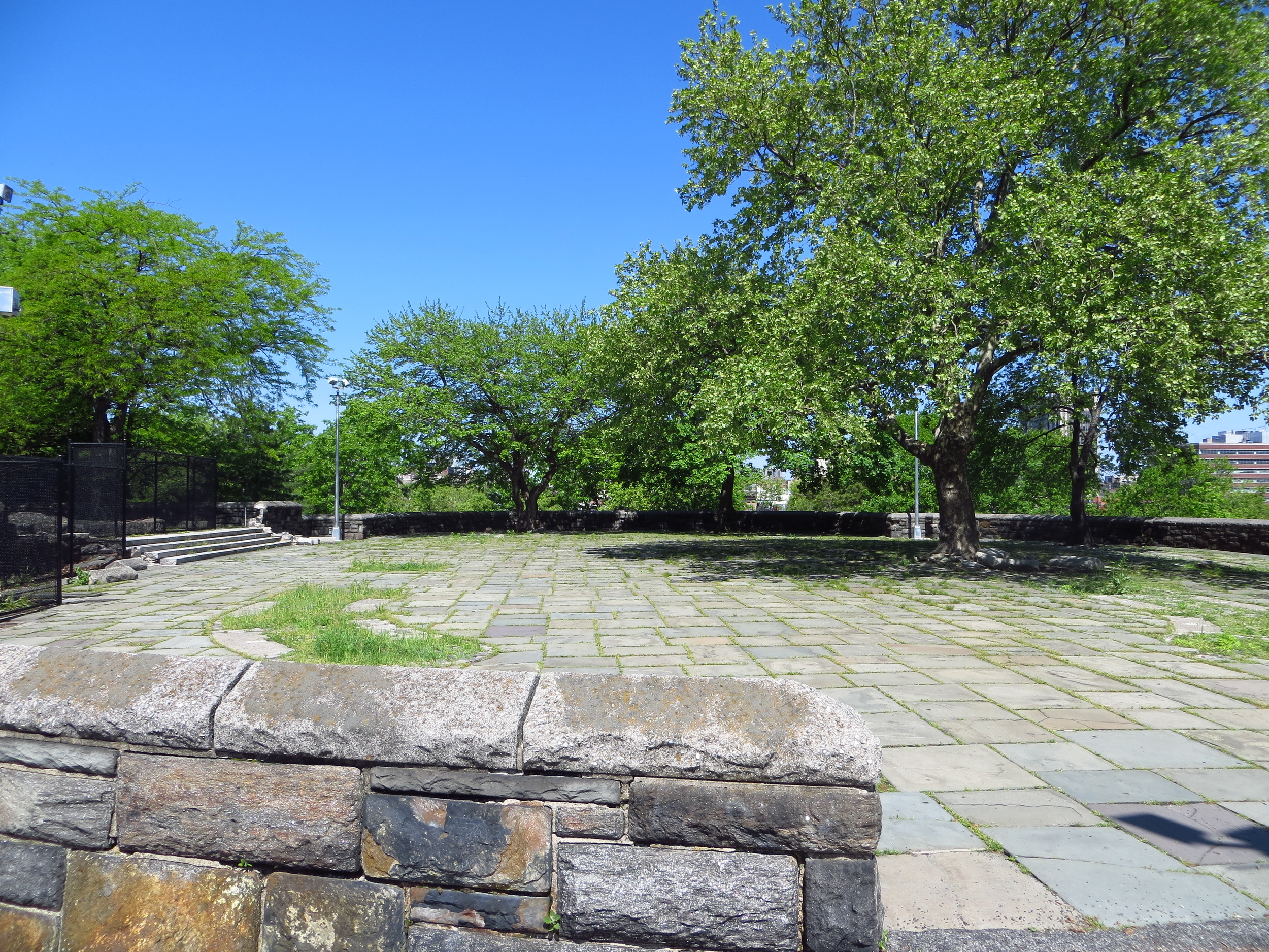
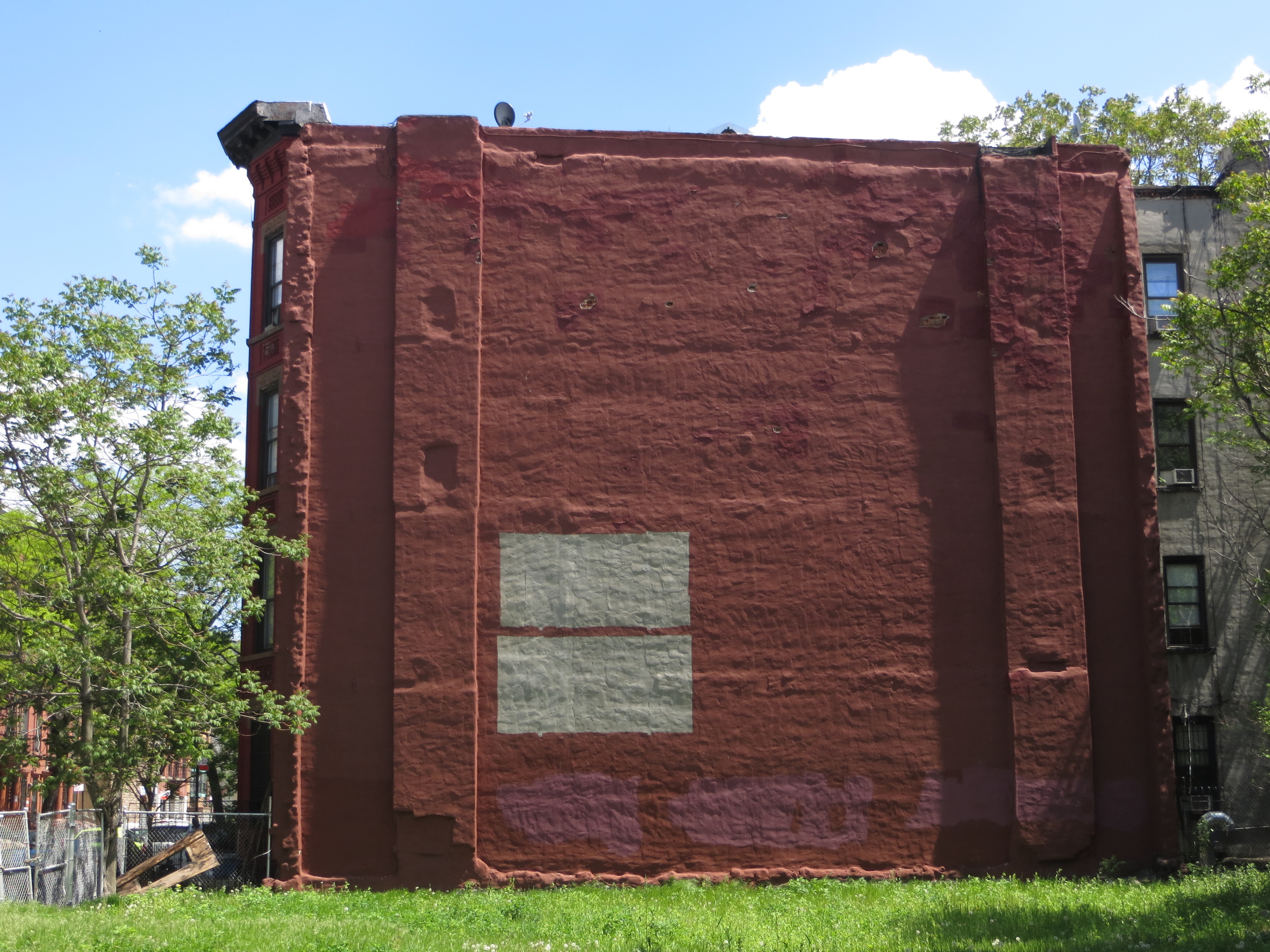
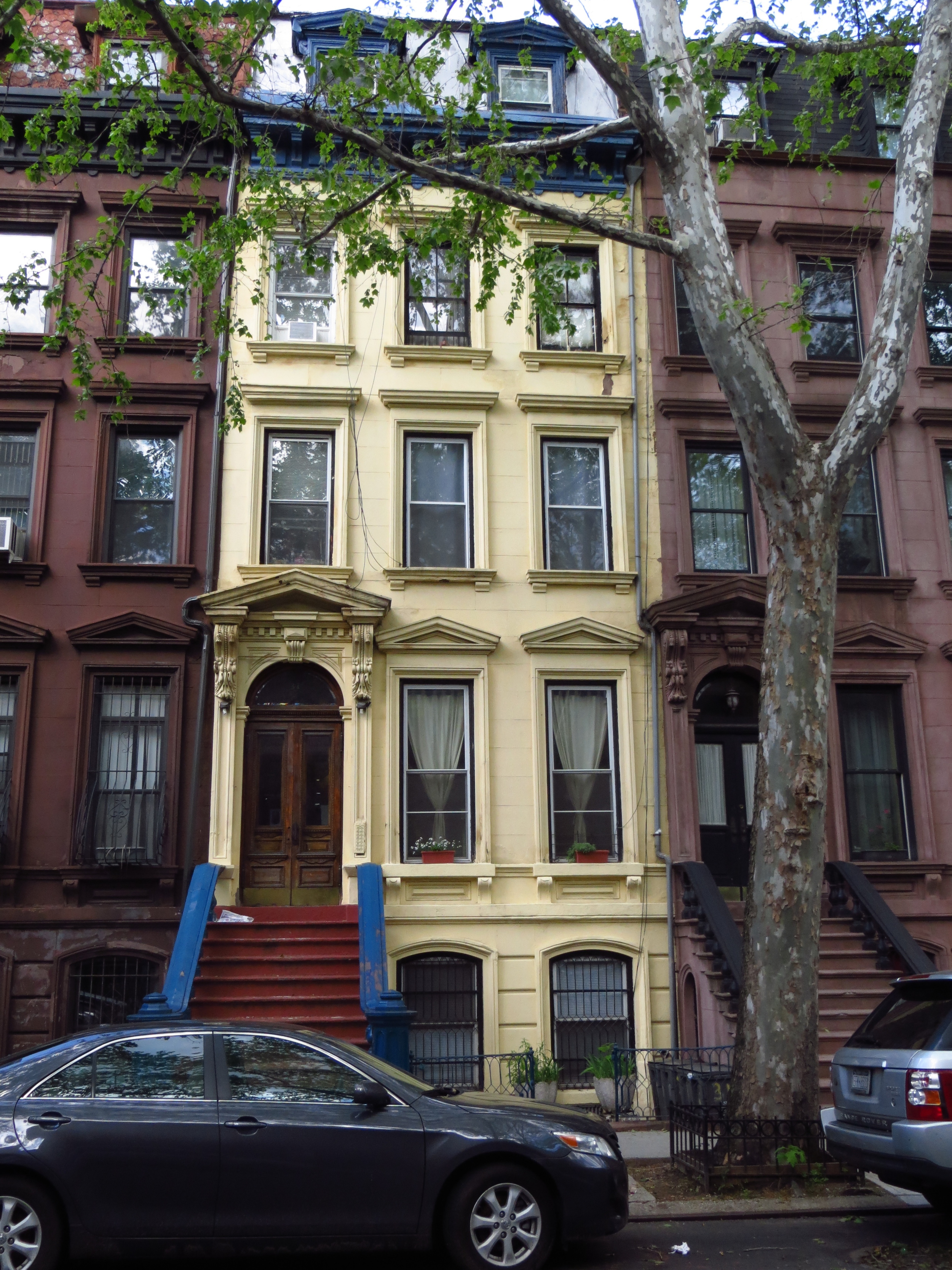
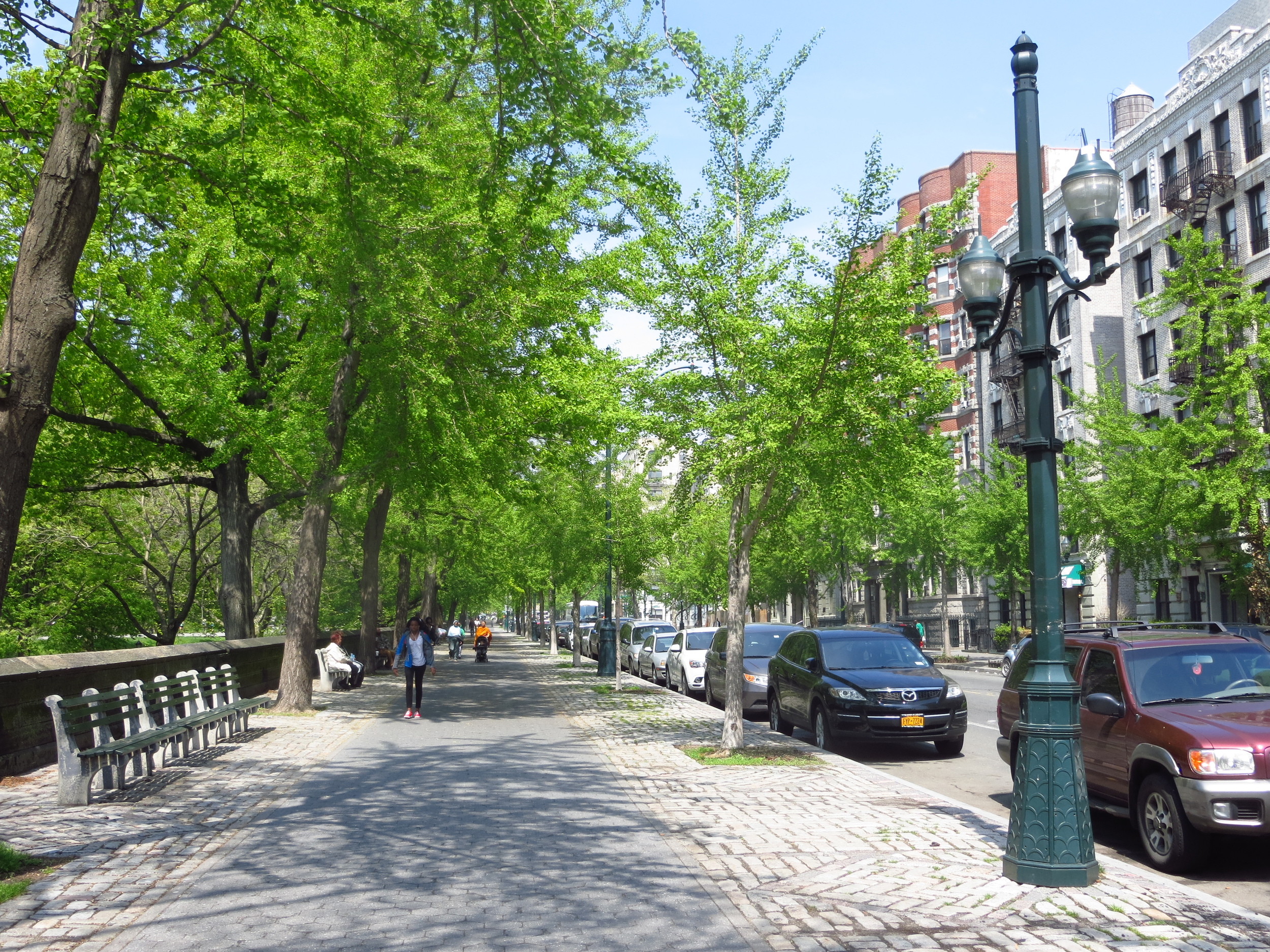
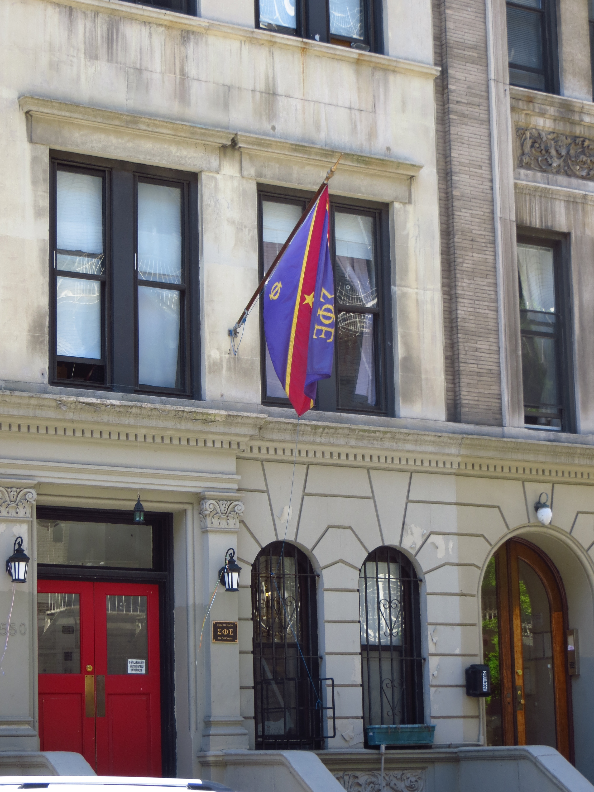
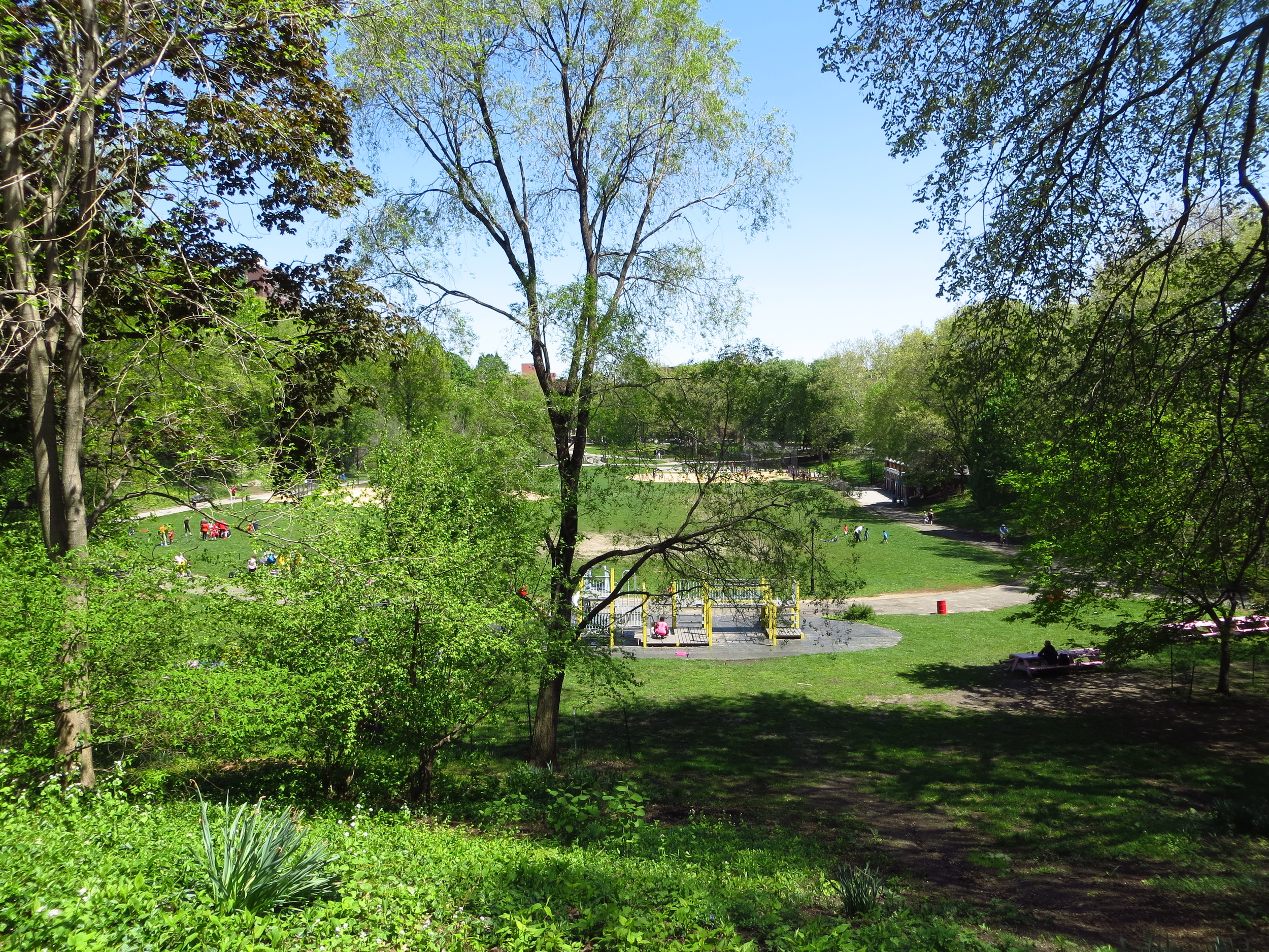
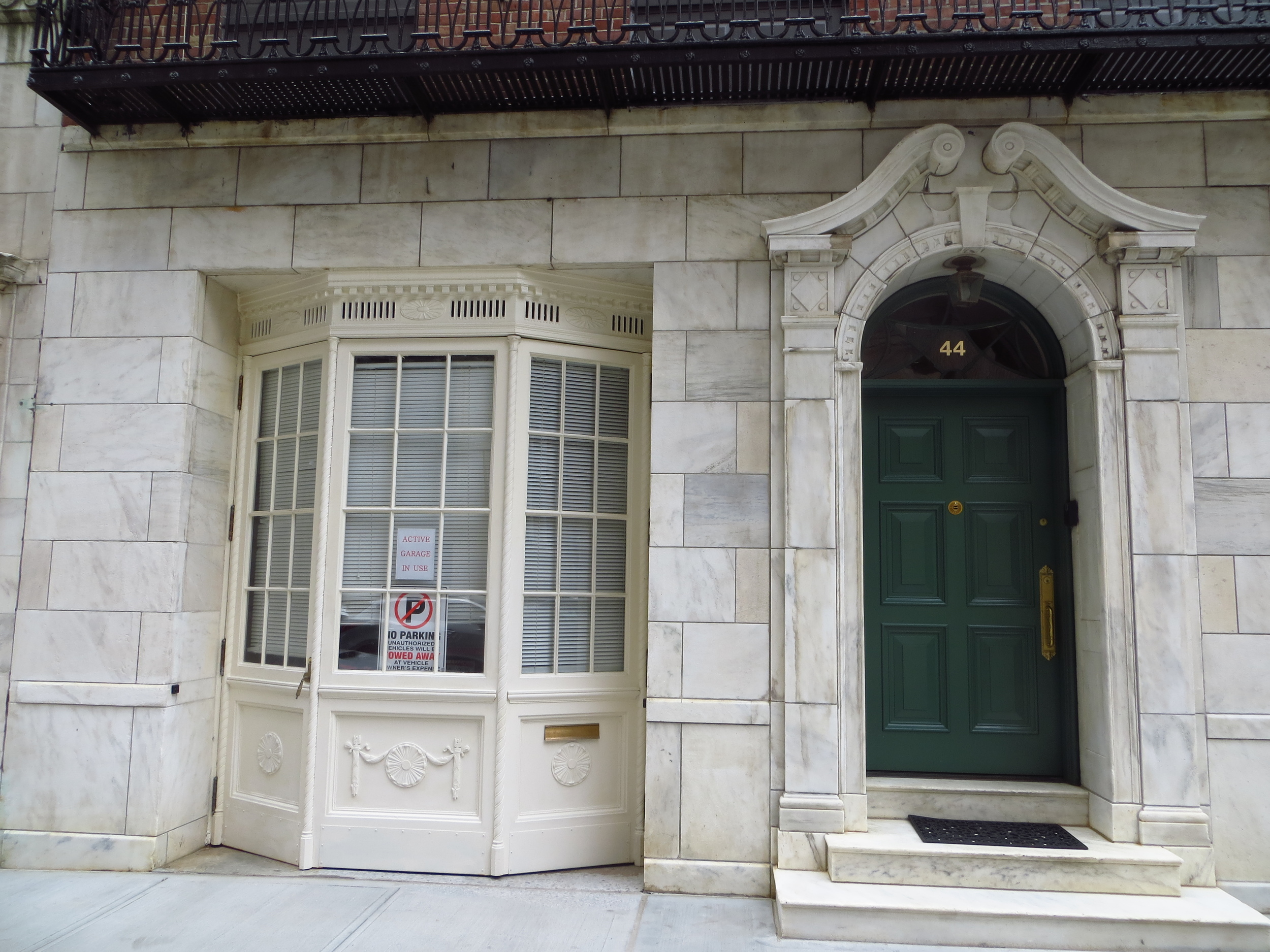
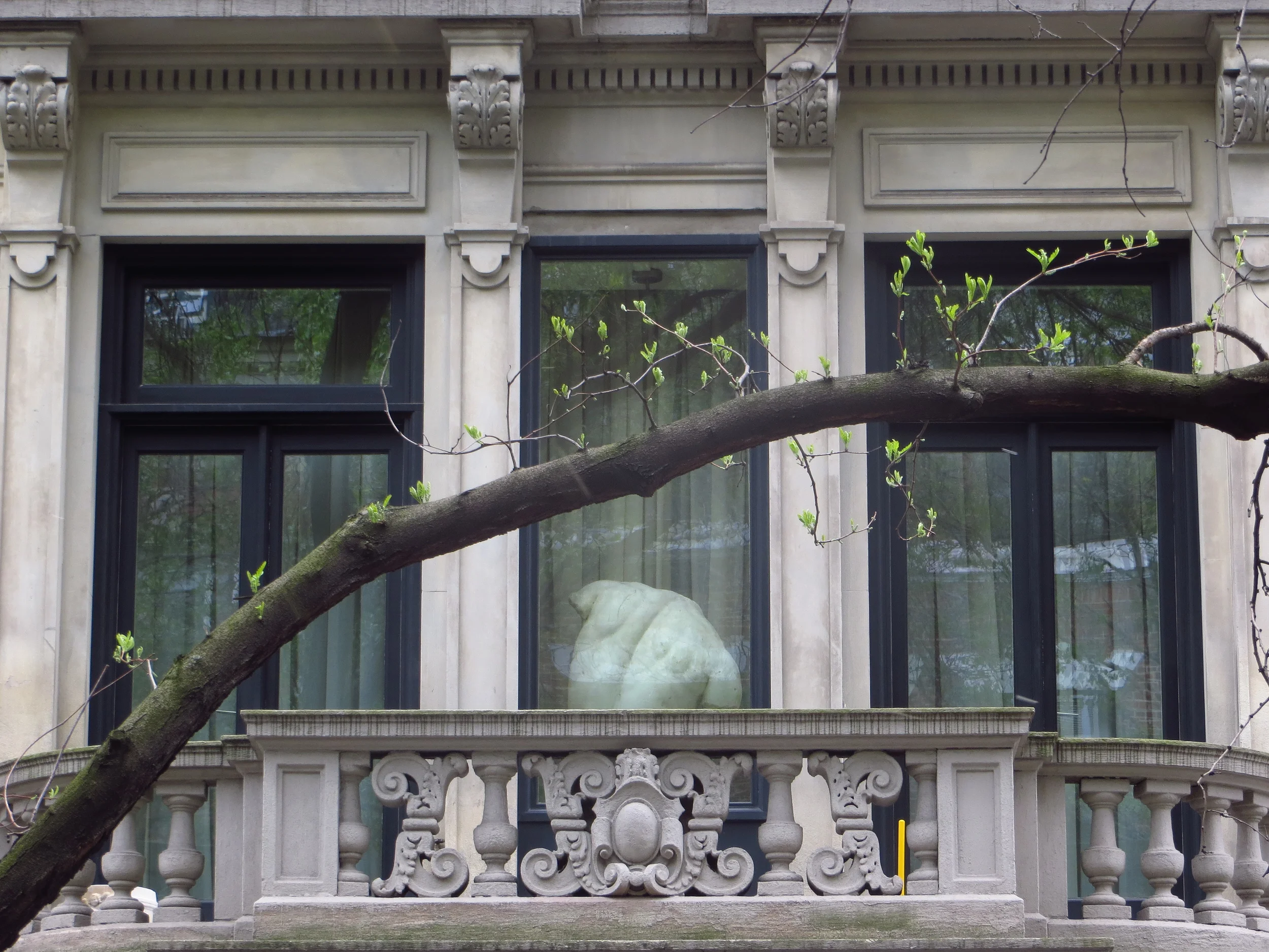
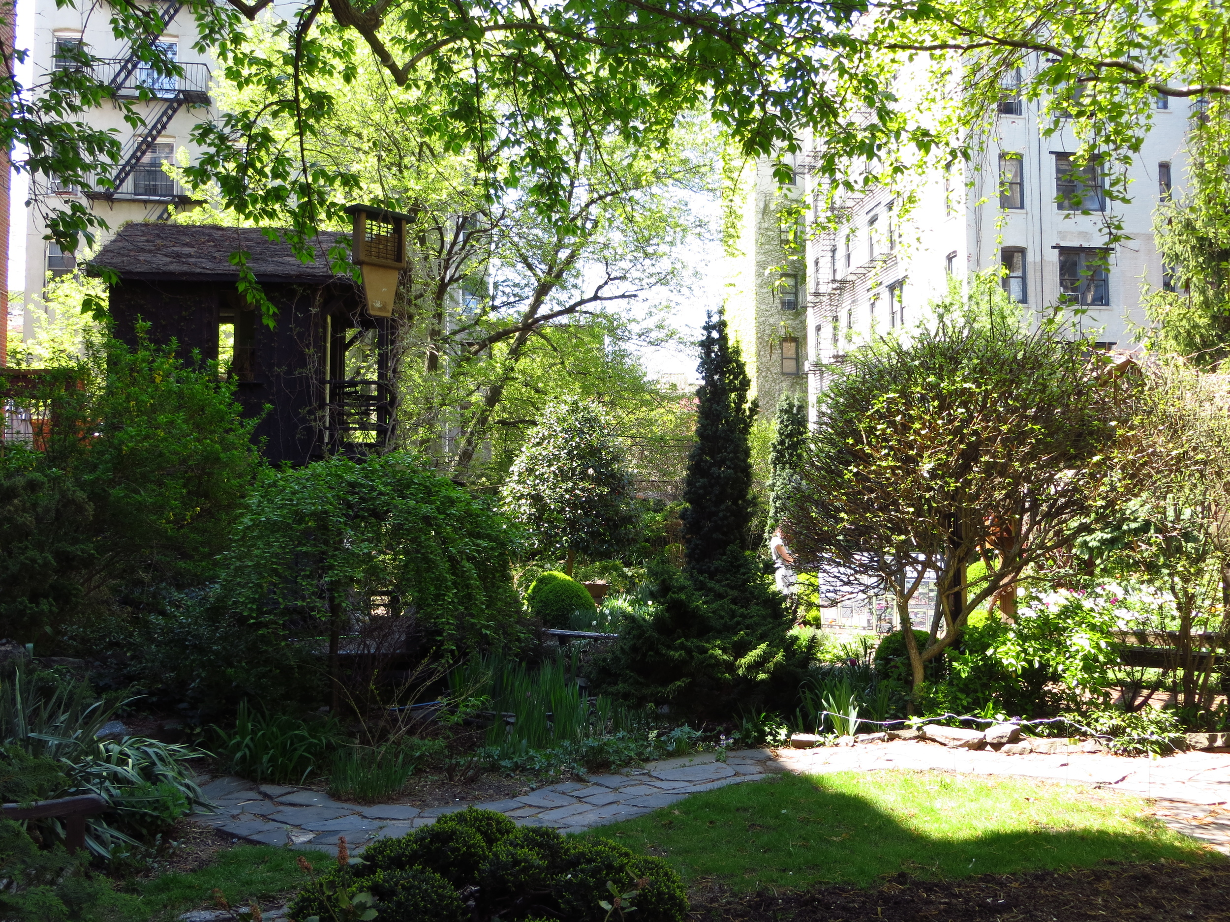
W 105th St. @ Riverside Dr.
W. 105th St. btw Riverside Dr. & West End Ave.
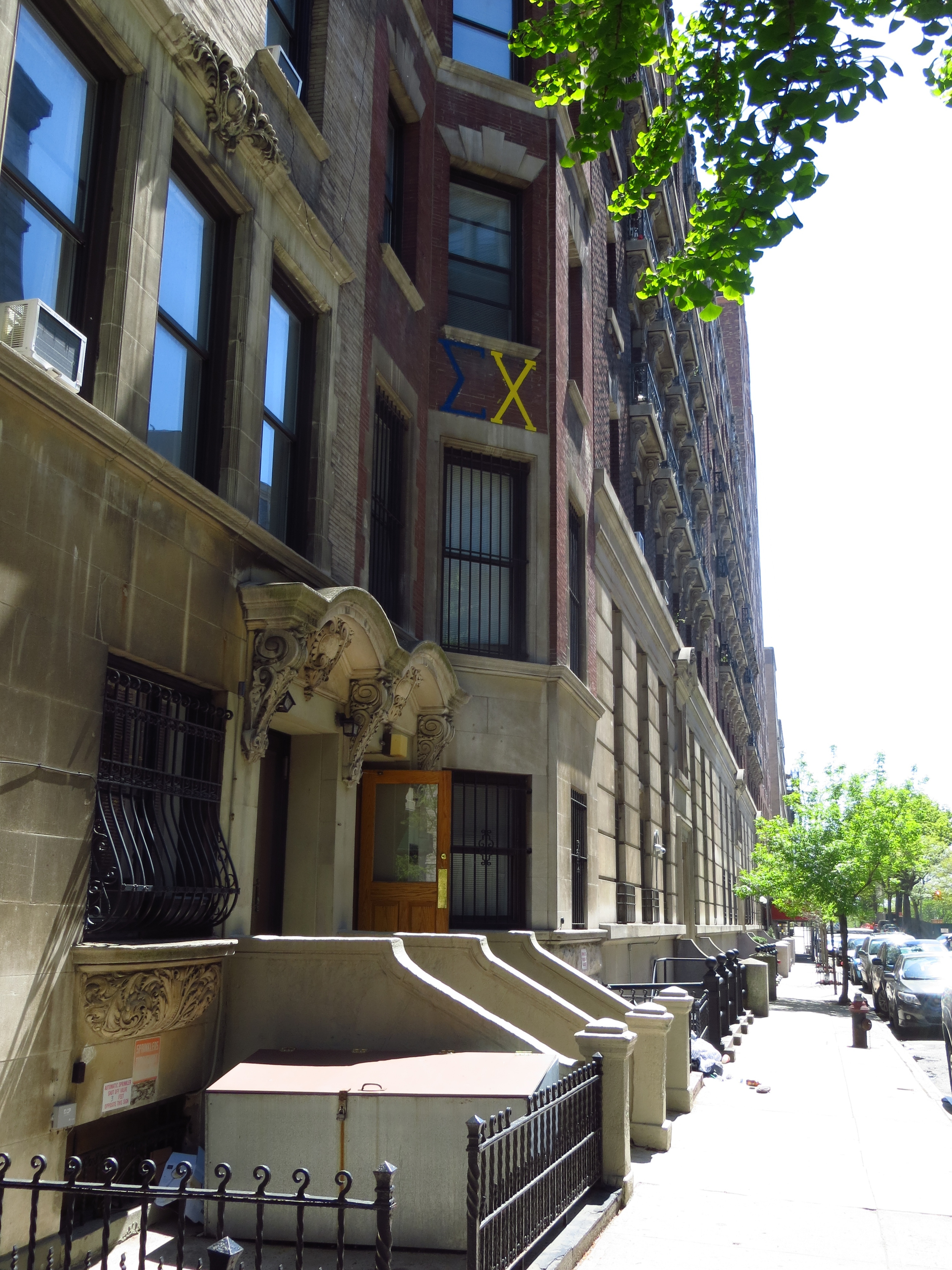
W. 105th St. btw Manhattan Ave. & Central Park West
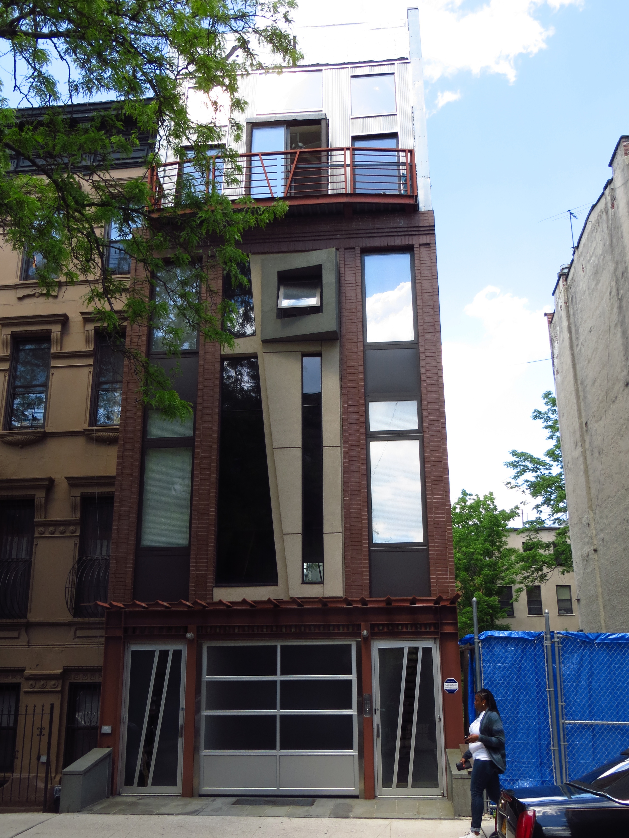
W. 104th St. btw Central Park West & Manhattan Ave.
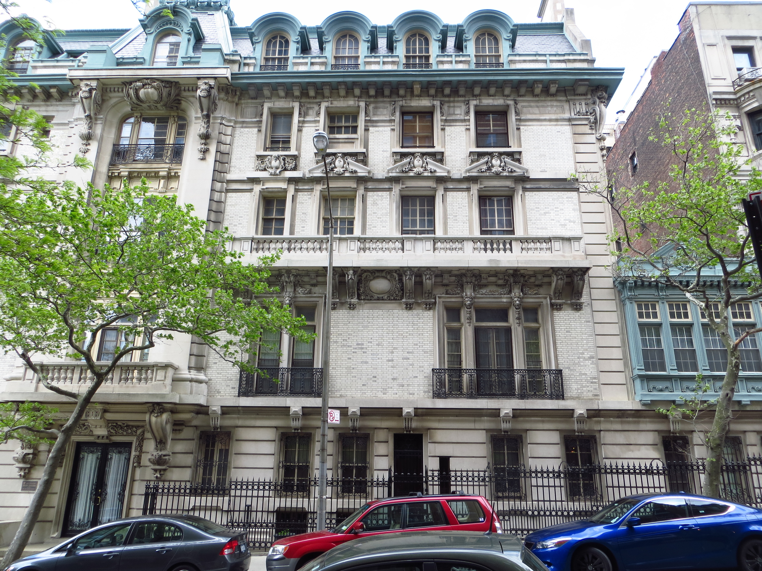
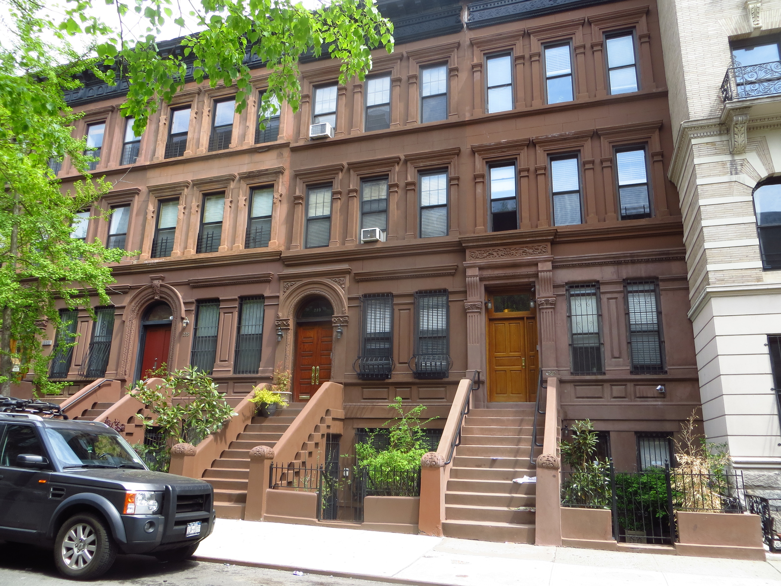
W. 103rd St. btw Riverside Dr. & West End Ave.
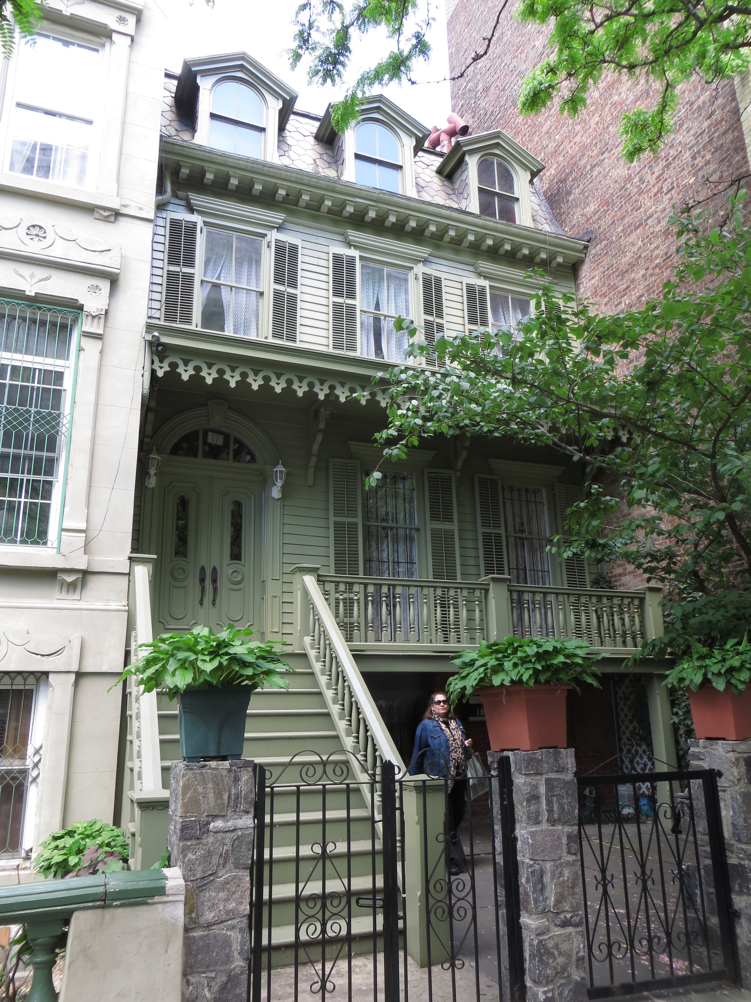
W. 103rd St. btw Riverside Dr. & West End Ave.
W. 103rd St. btw West End Ave. & Broadway
W. 103rd St. btw West End Ave. & Broadway
W. 103rd St. btw West End Ave. & Broadway
W. 102nd St. btw Amsterdam Ave. & Broadway
W. 102nd St. btw Amsterdam Ave. & Broadway
W. 102nd St. btw West End Ave. & Riverside Dr.
W. 102nd St. btw West End Ave. & Riverside Dr.
W. 101st St. btw West End Ave. & Broadway
W. 101st St. btw West End Ave. & Broadway
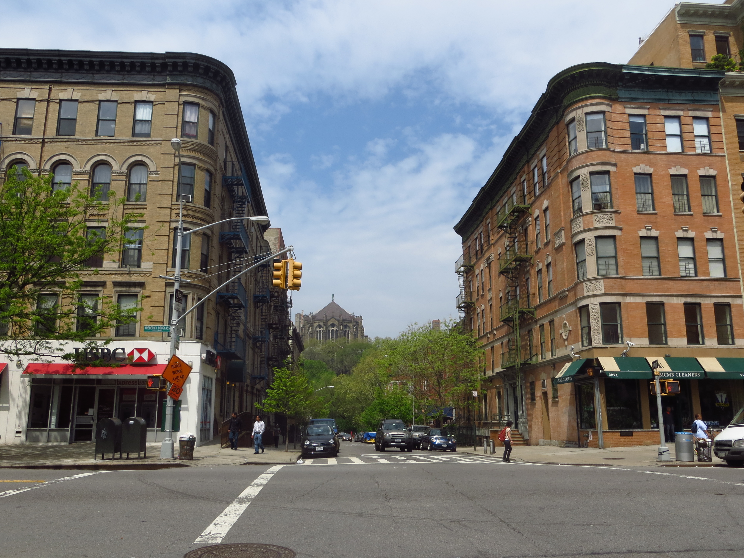
W. 100th St. btw Central Park West & Columbus Ave.
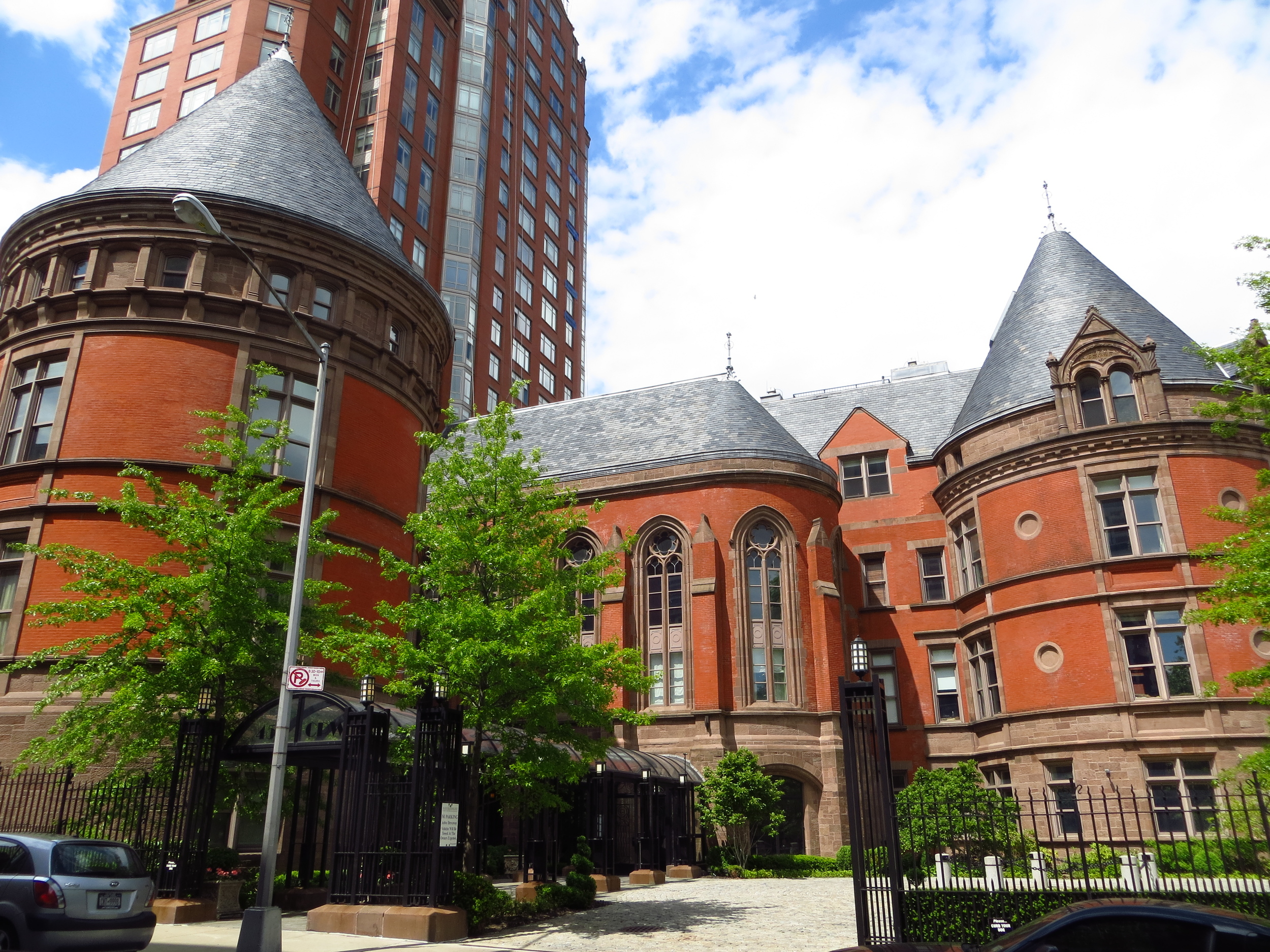
W. 100th St. btw West End Ave. & Riverside Dr.
W. 100th St. btw West End Ave. & Riverside Dr.
W. 100th St. btw West End Ave. & Riverside Dr.
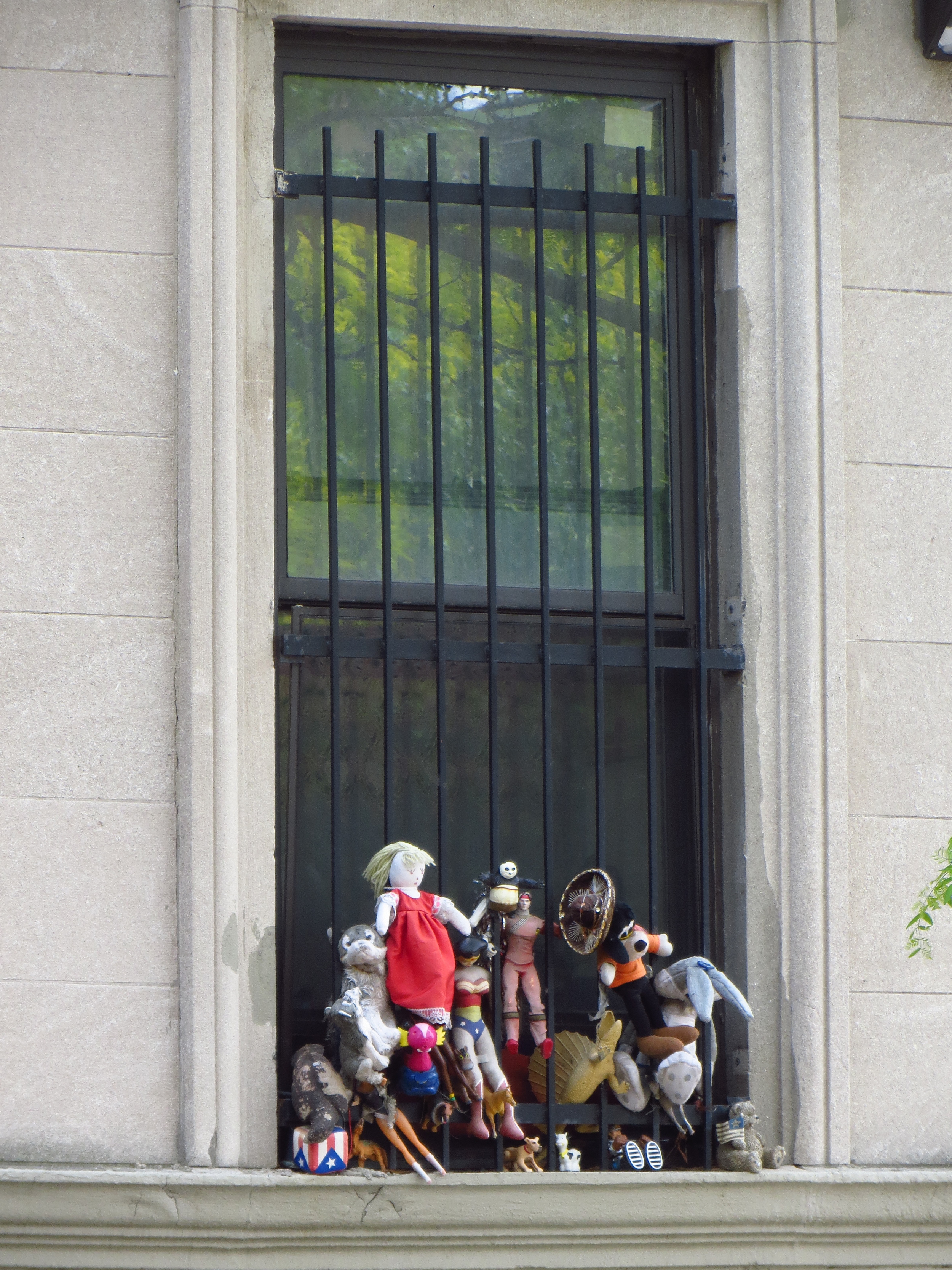
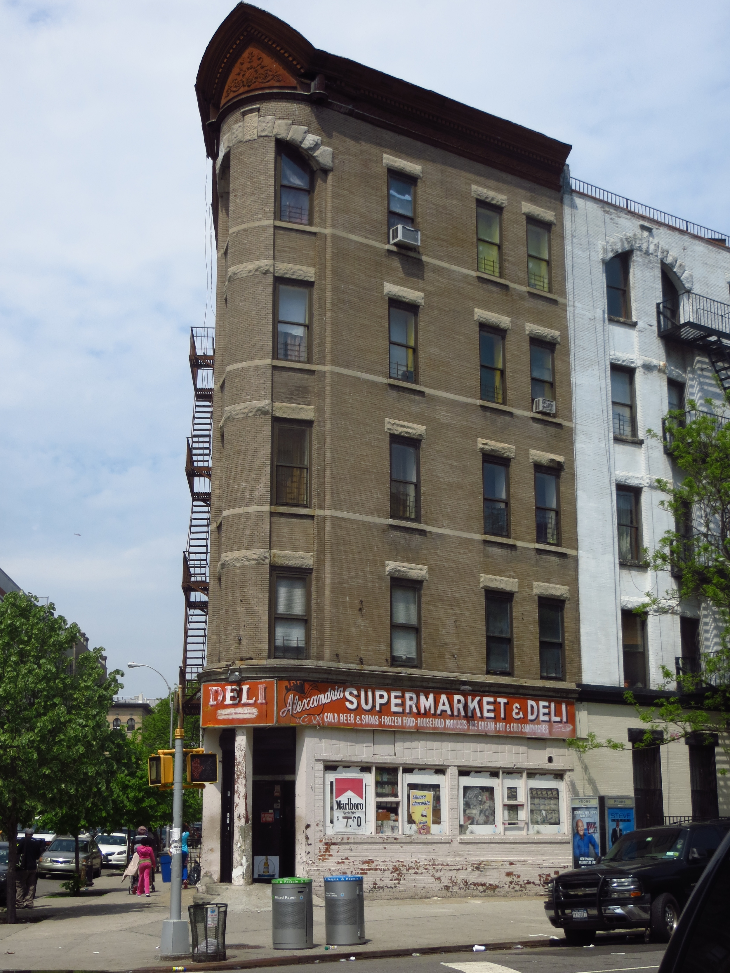
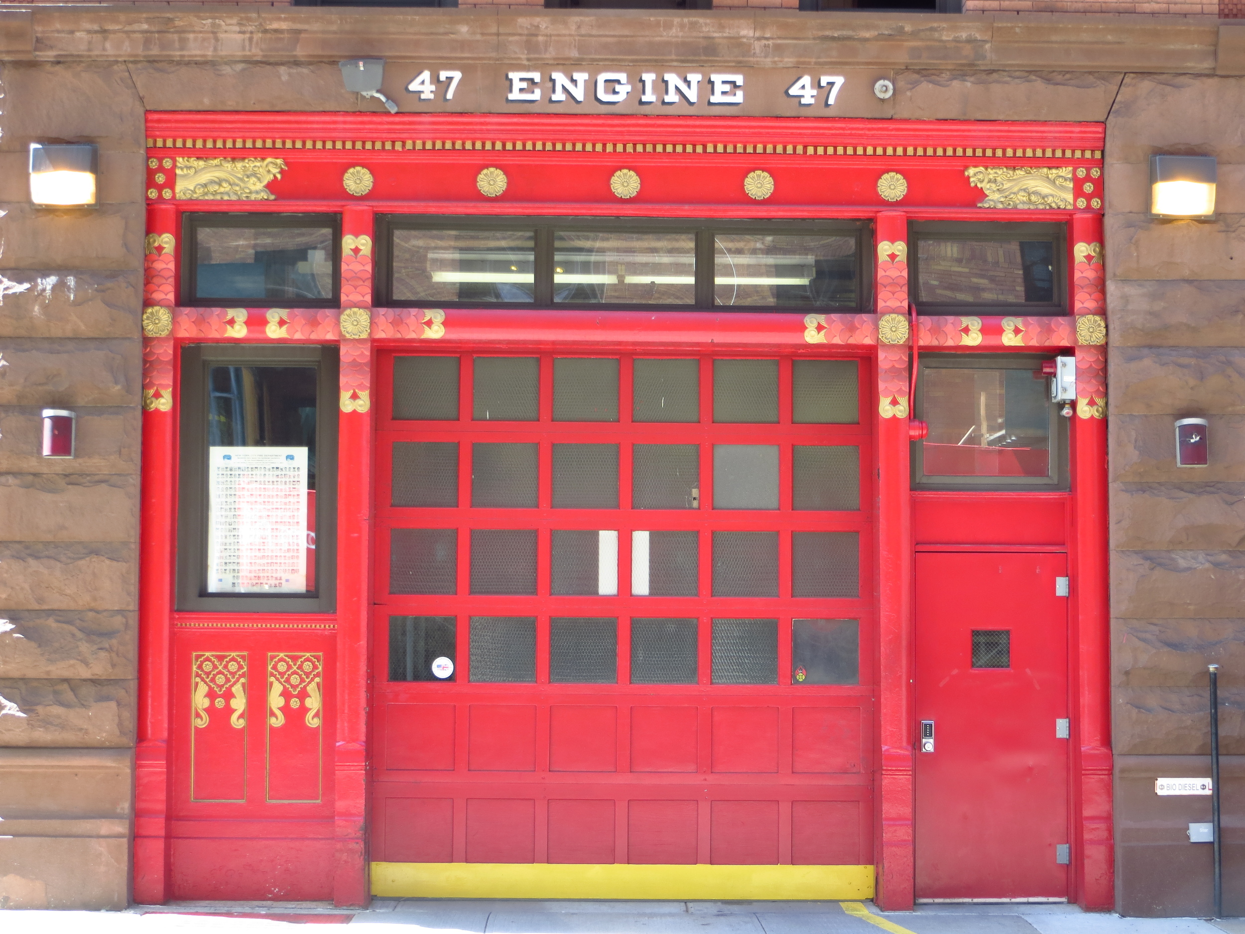
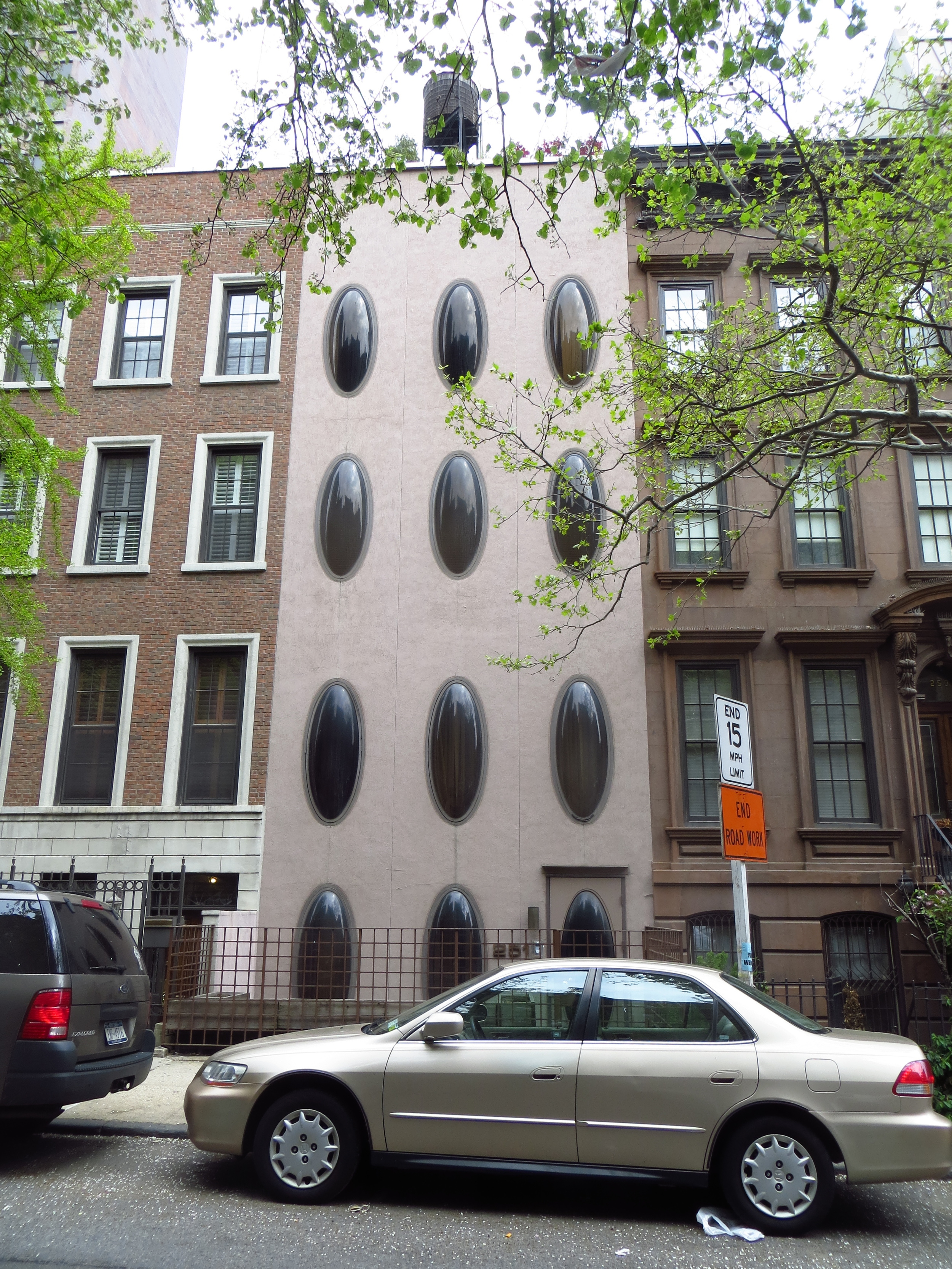
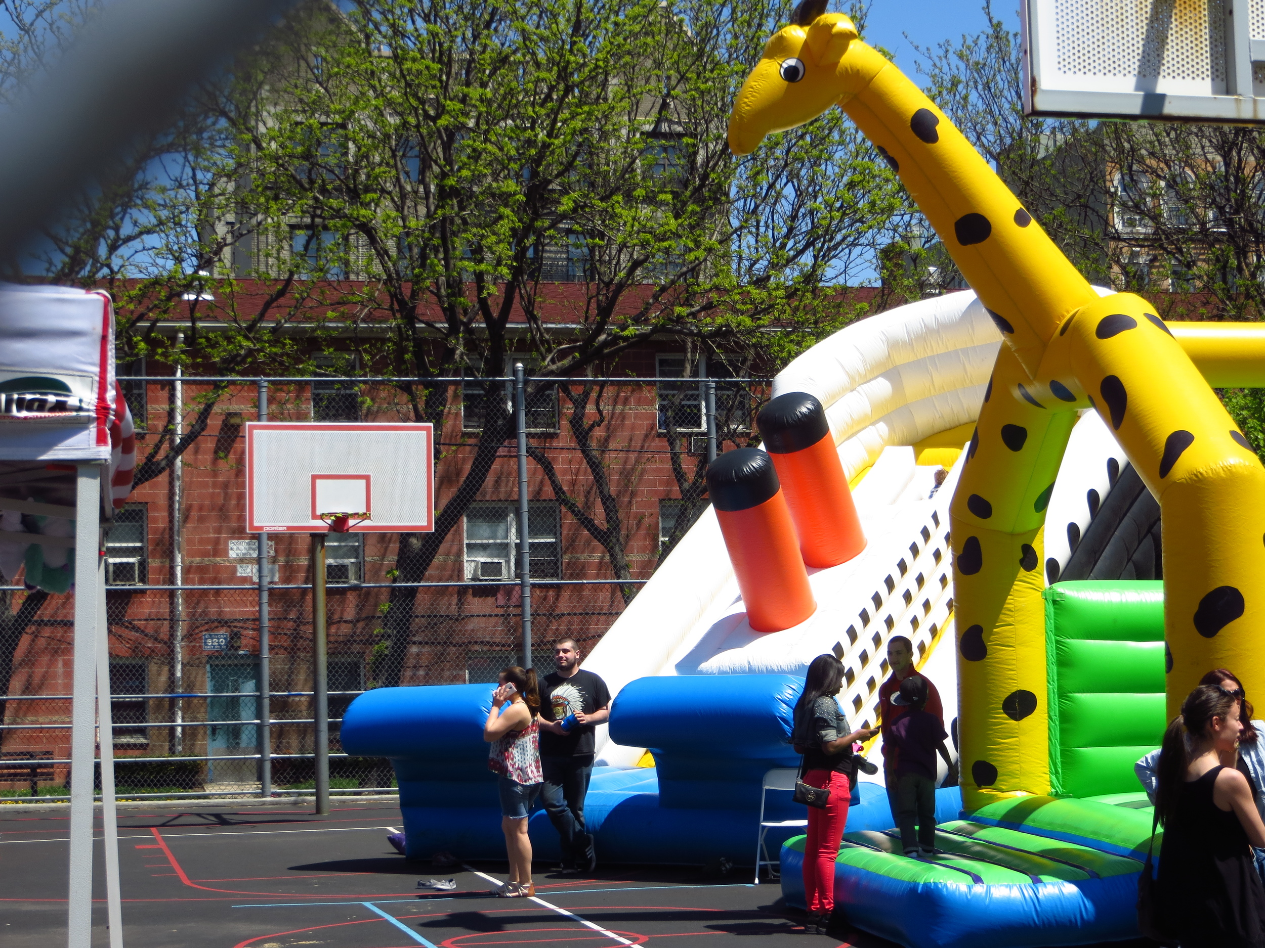
W. 97th St. btw Amsterdam Ave. & Columbus Ave.
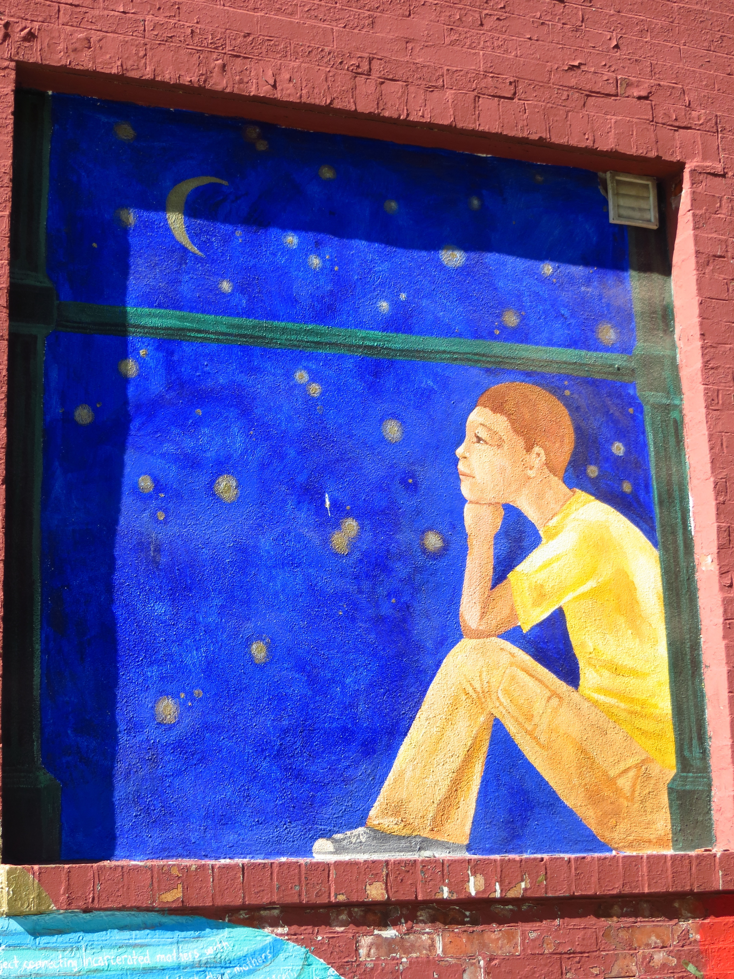
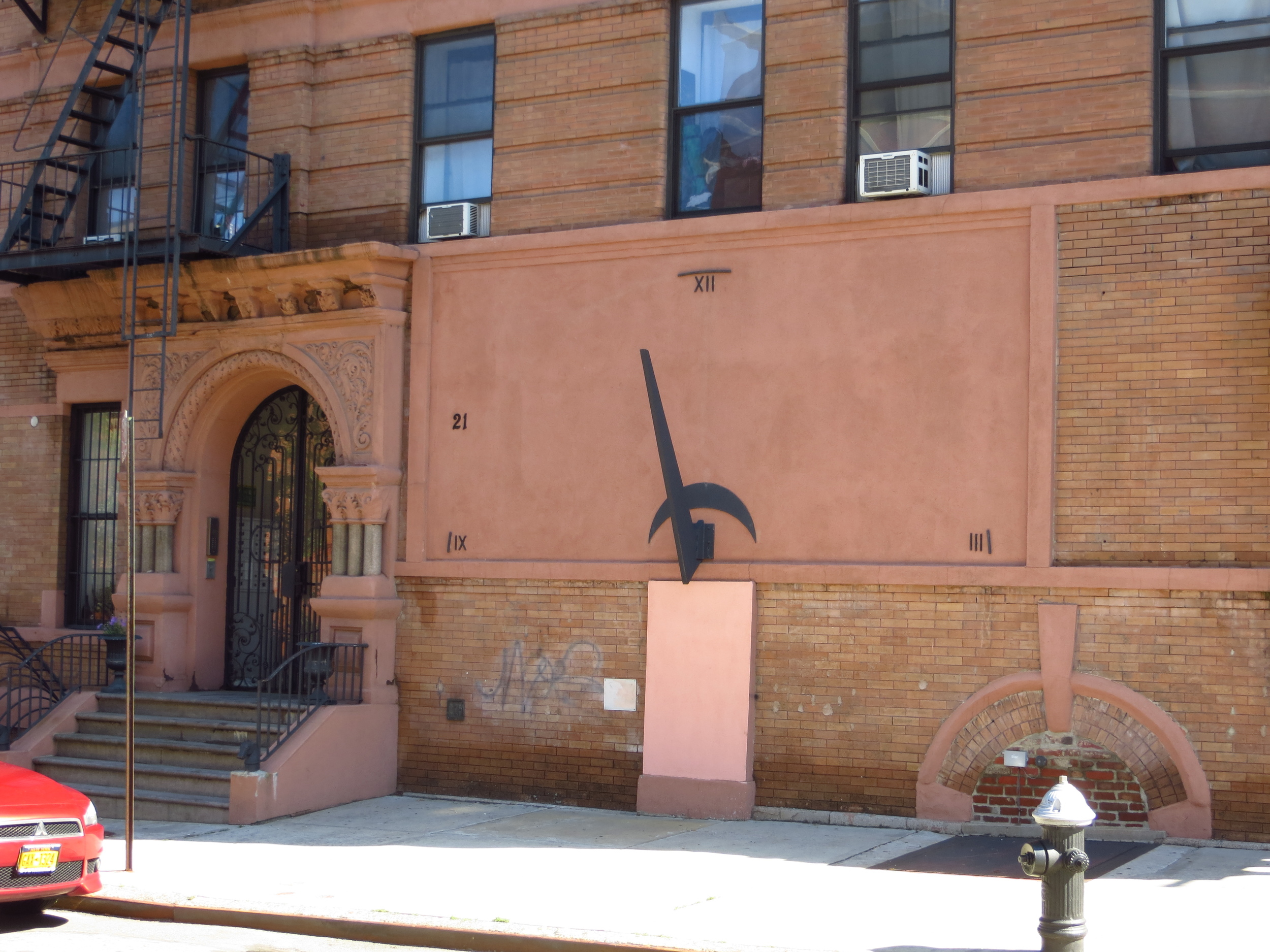
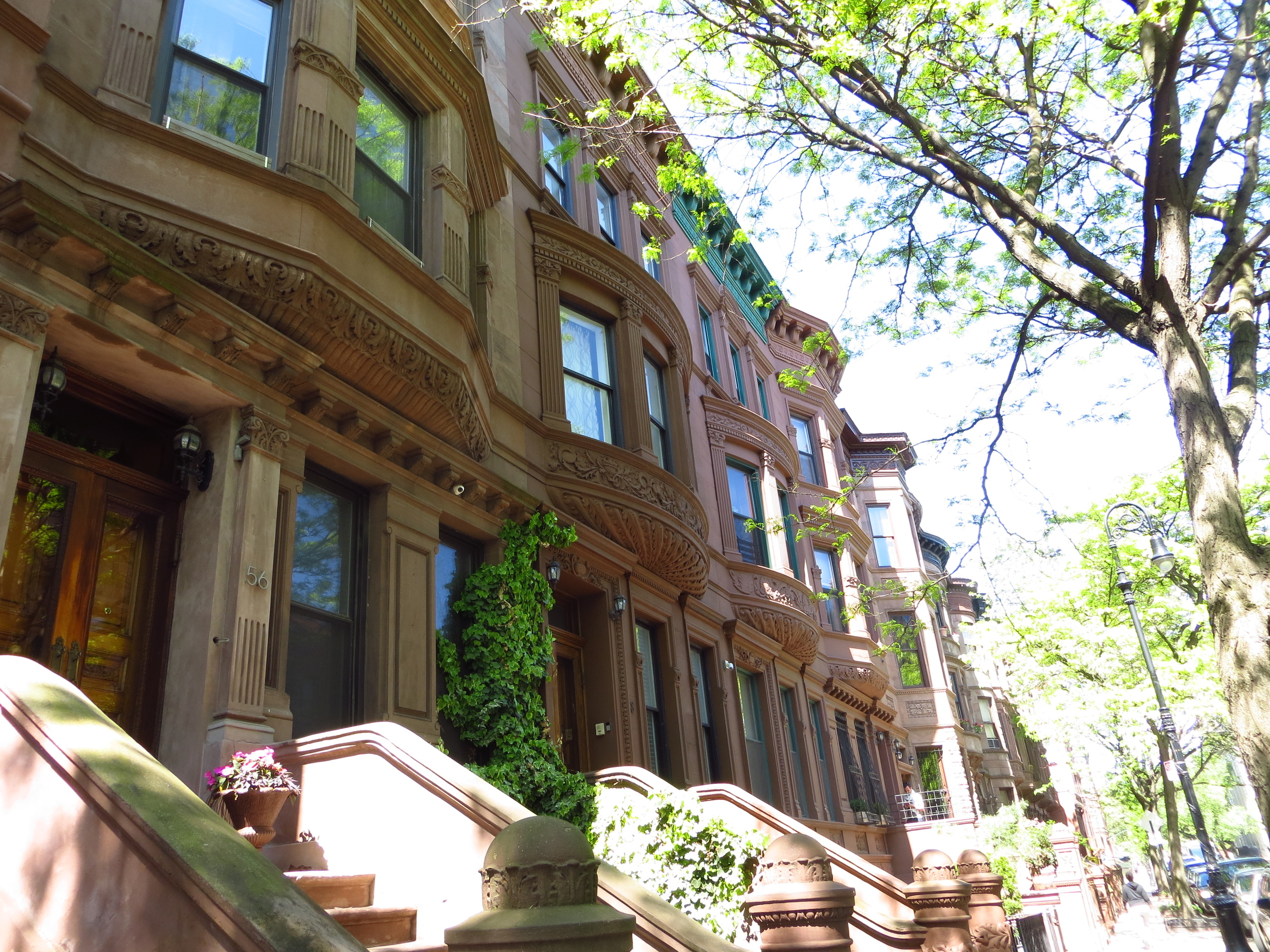
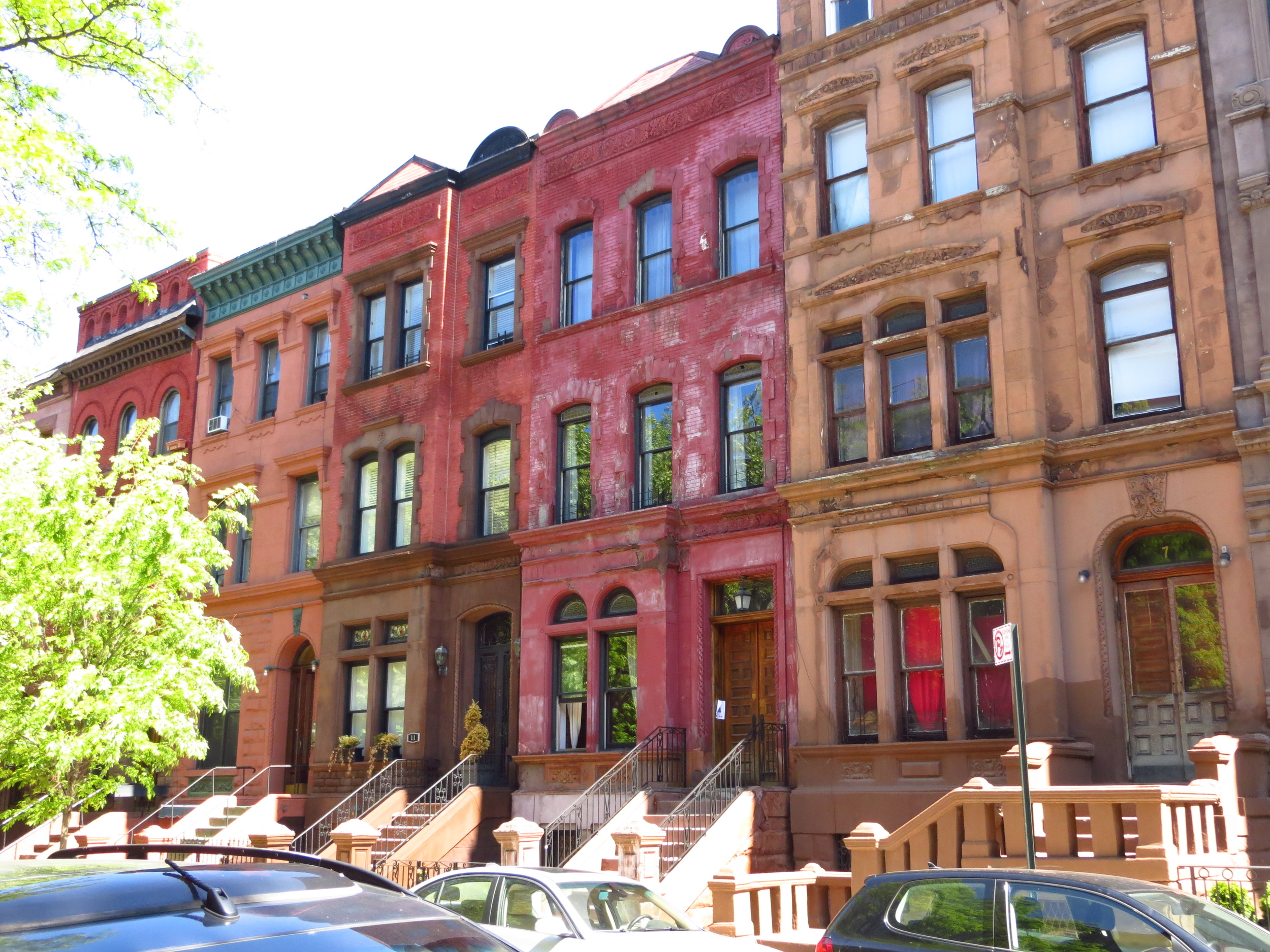
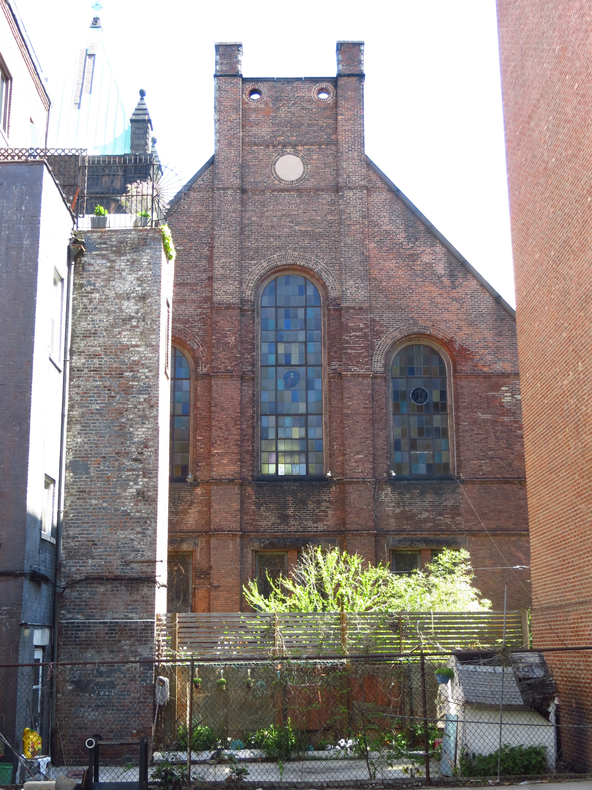
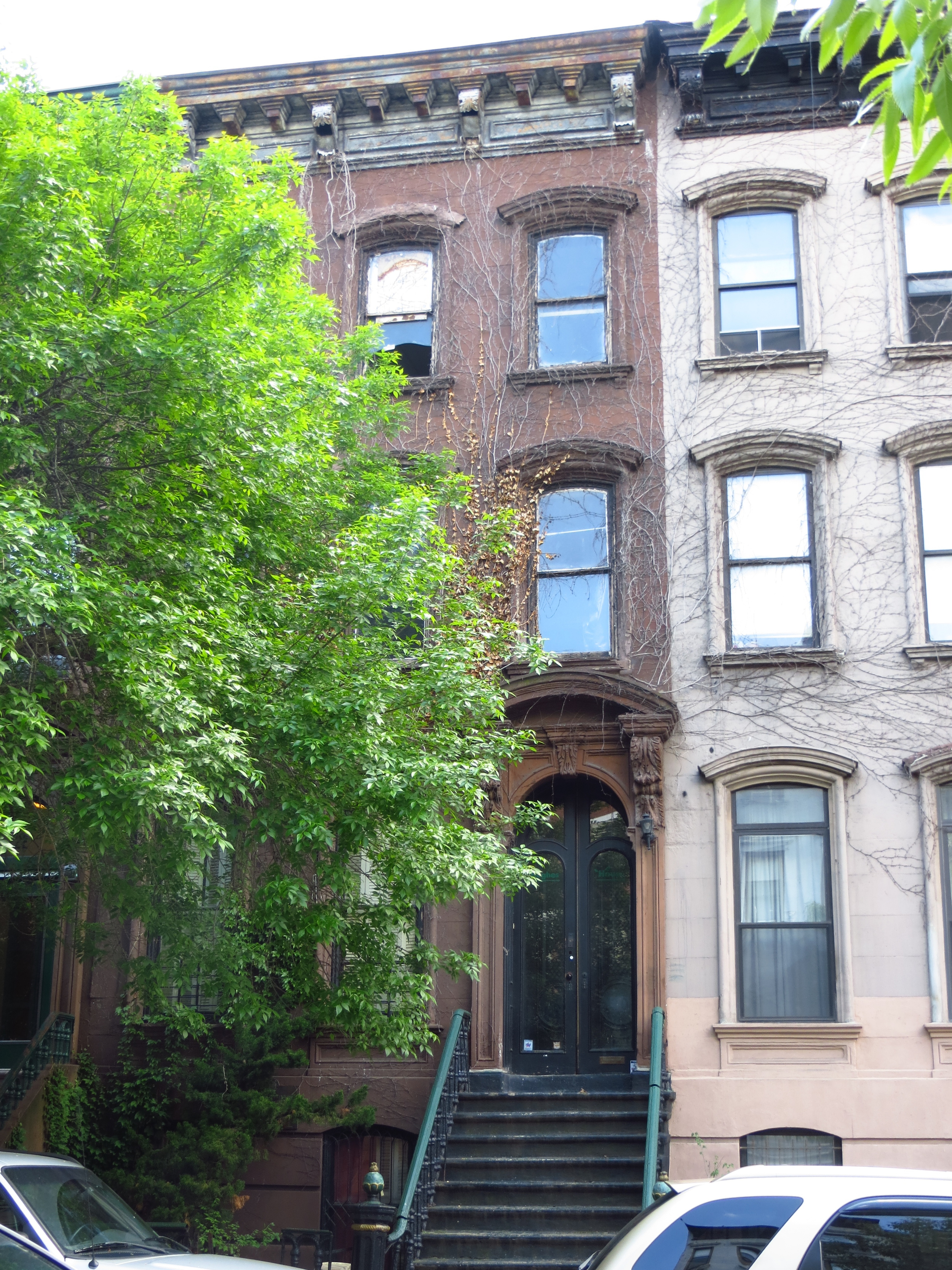
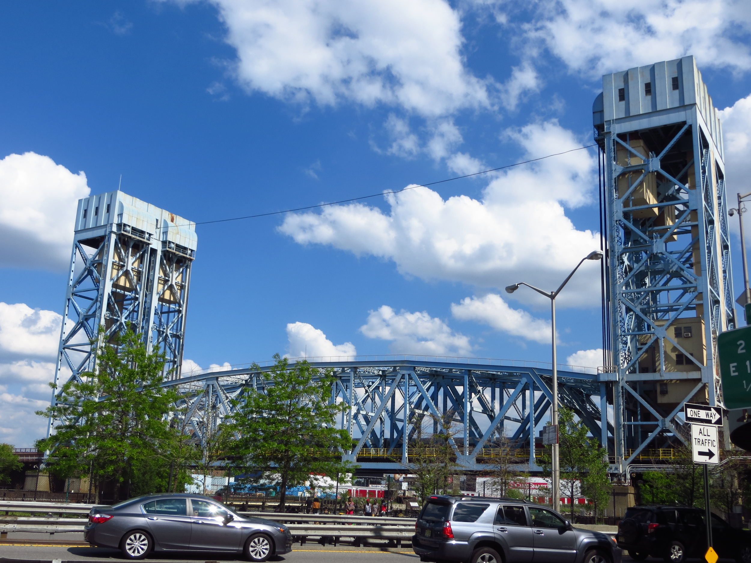
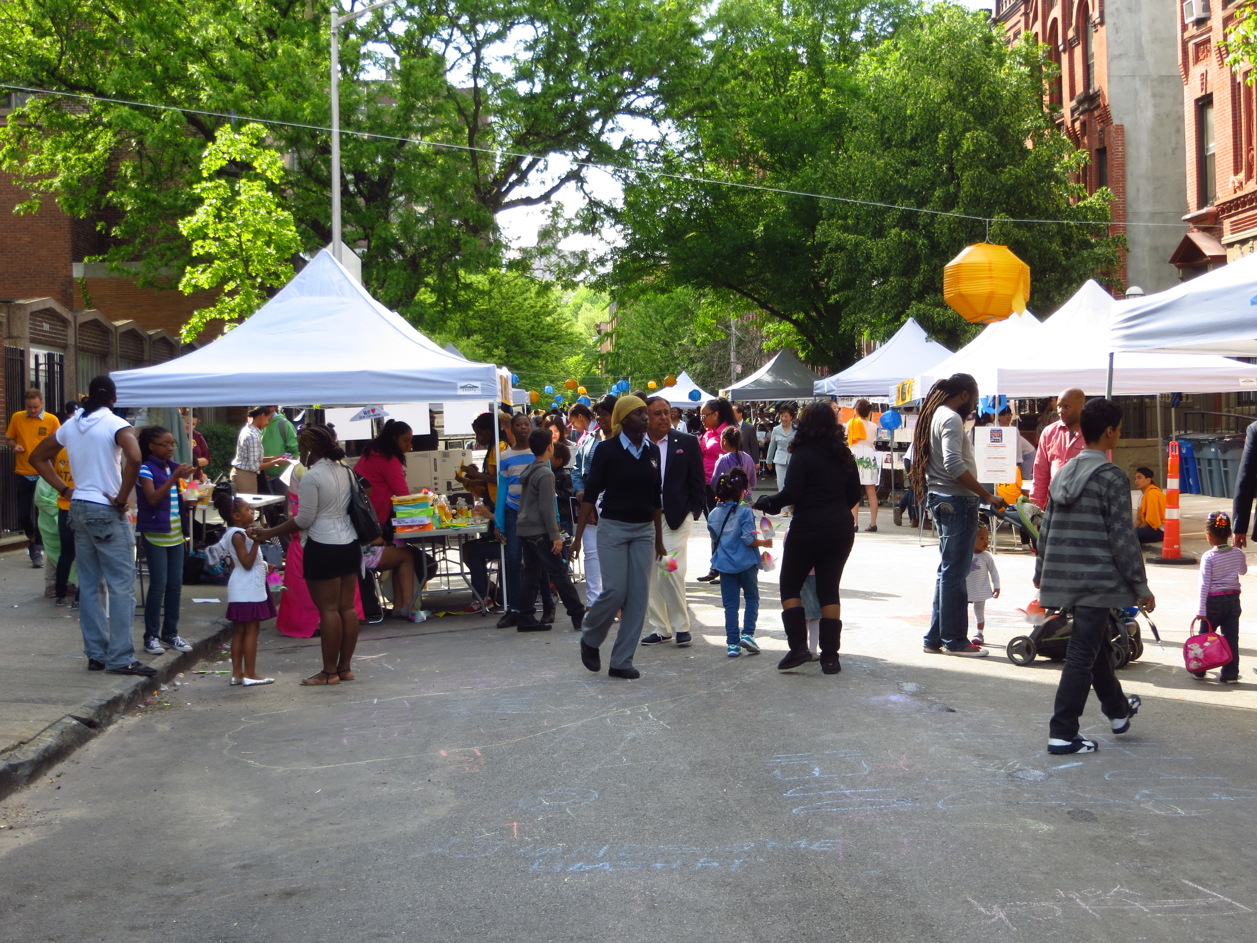
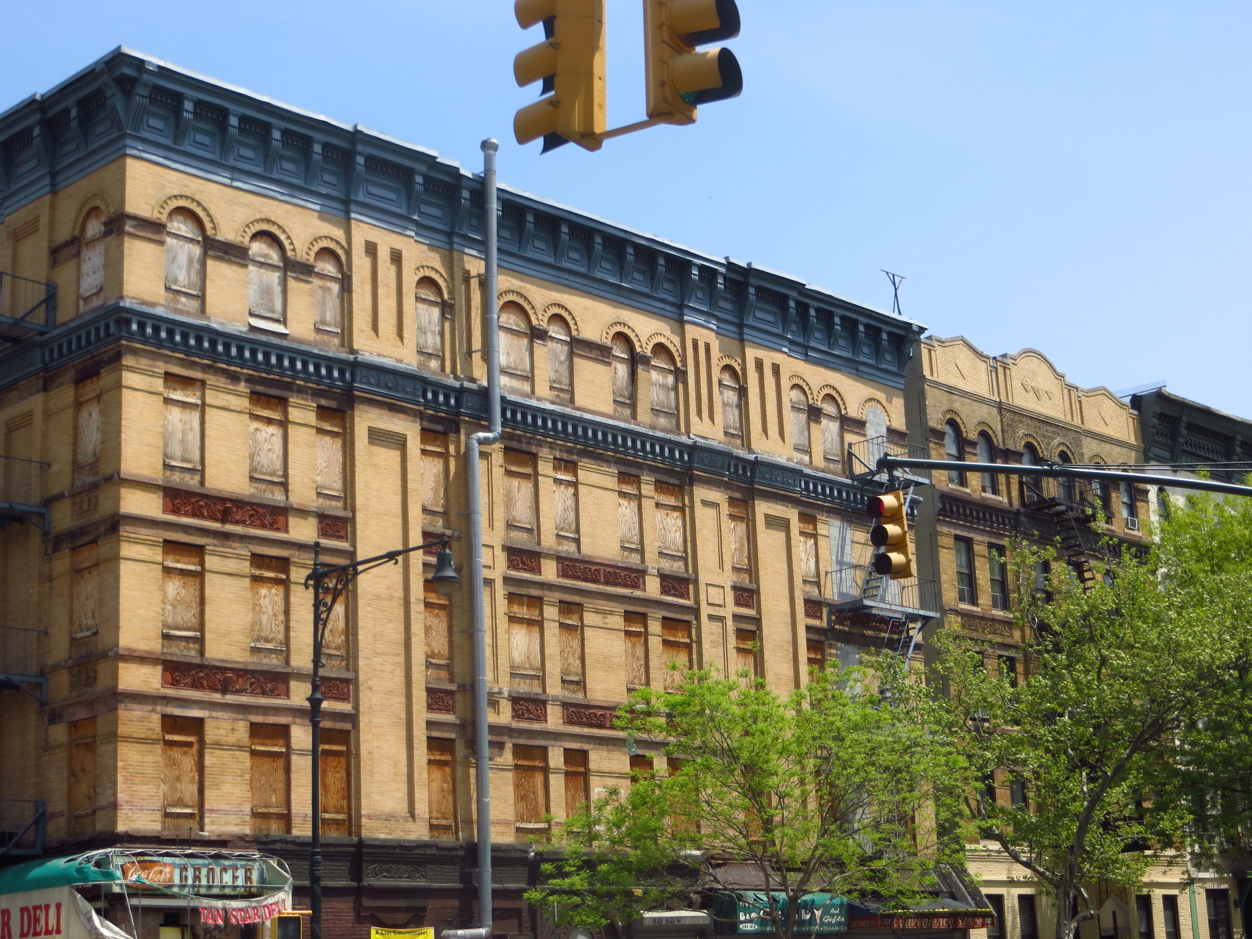
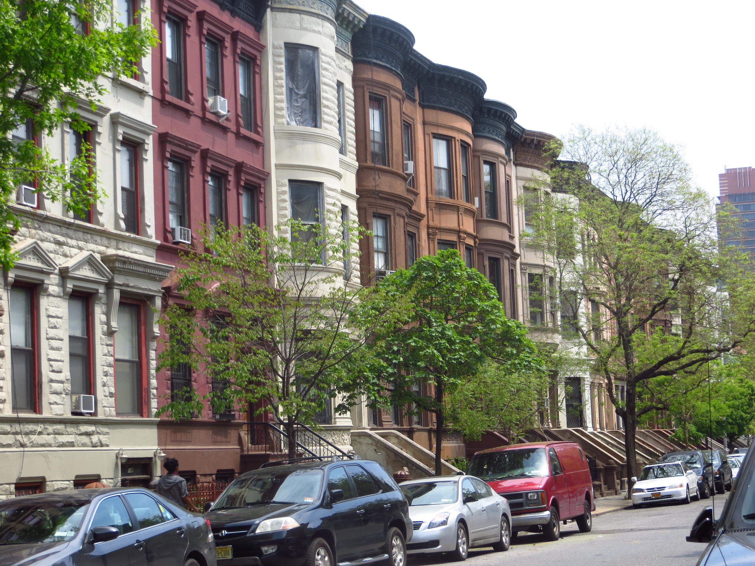
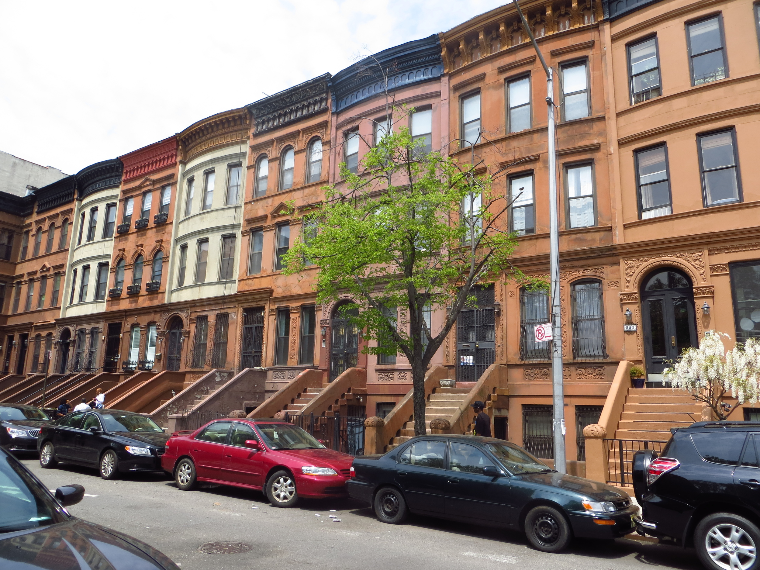
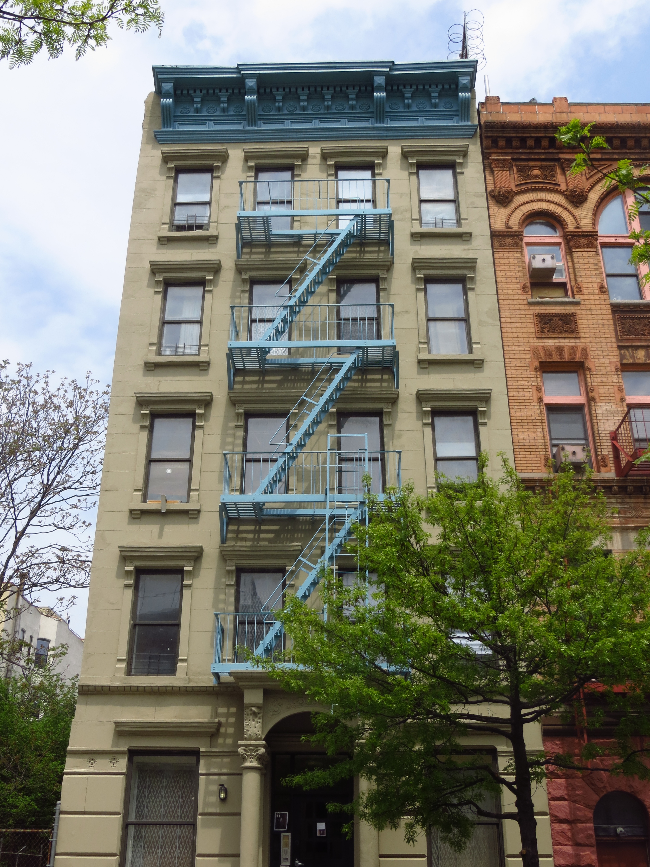
I went back to Harlem again this weekend. First I finished off 117th - 124th St. east of Lenox Ave. and then did 125th St. - 135th St. east of St. Nicholas Ave. About 19 miles (would have been 20 miles, but I accidentally missed 123rd St. east of Marcus Garvey Park - rookie mistake).

Today's walk
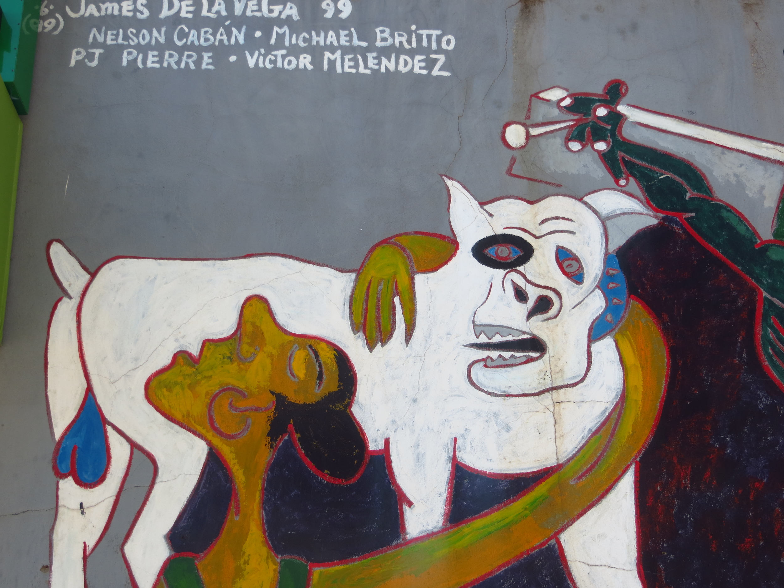
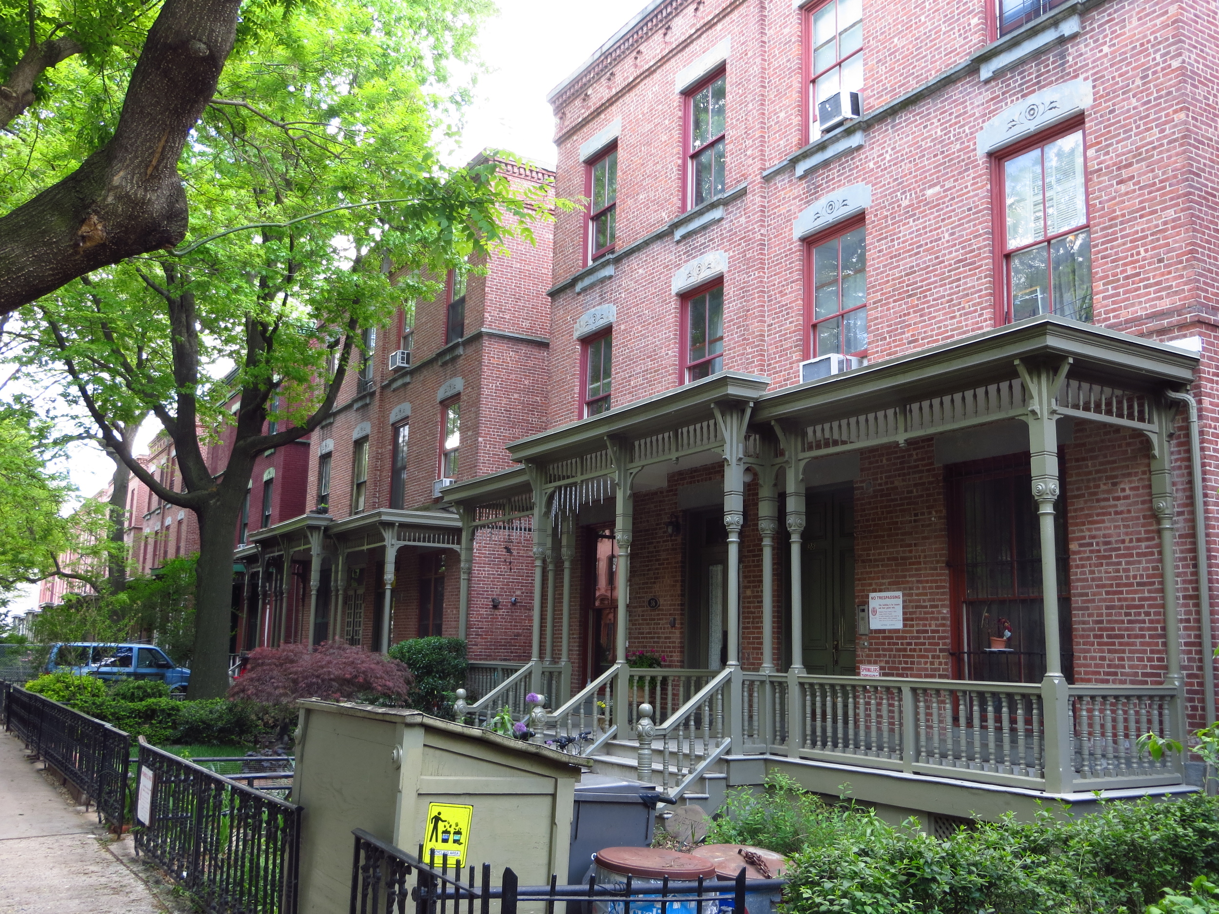
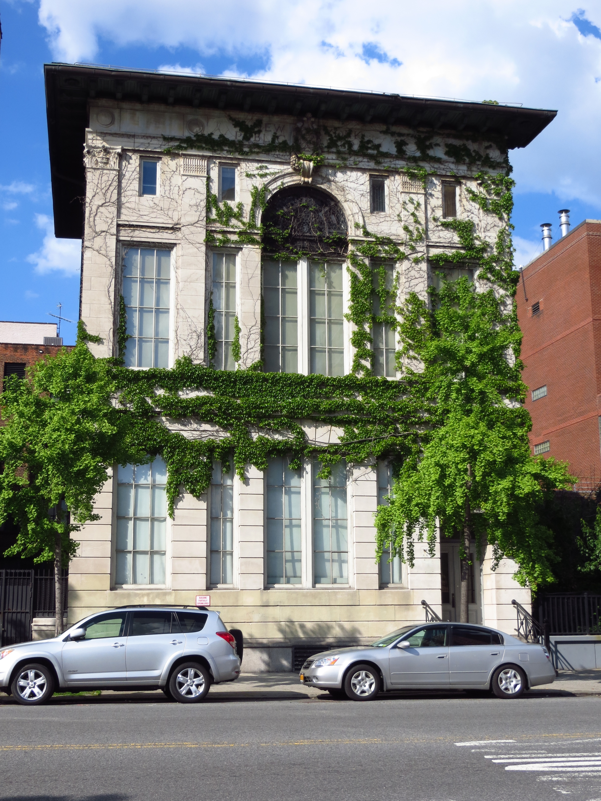
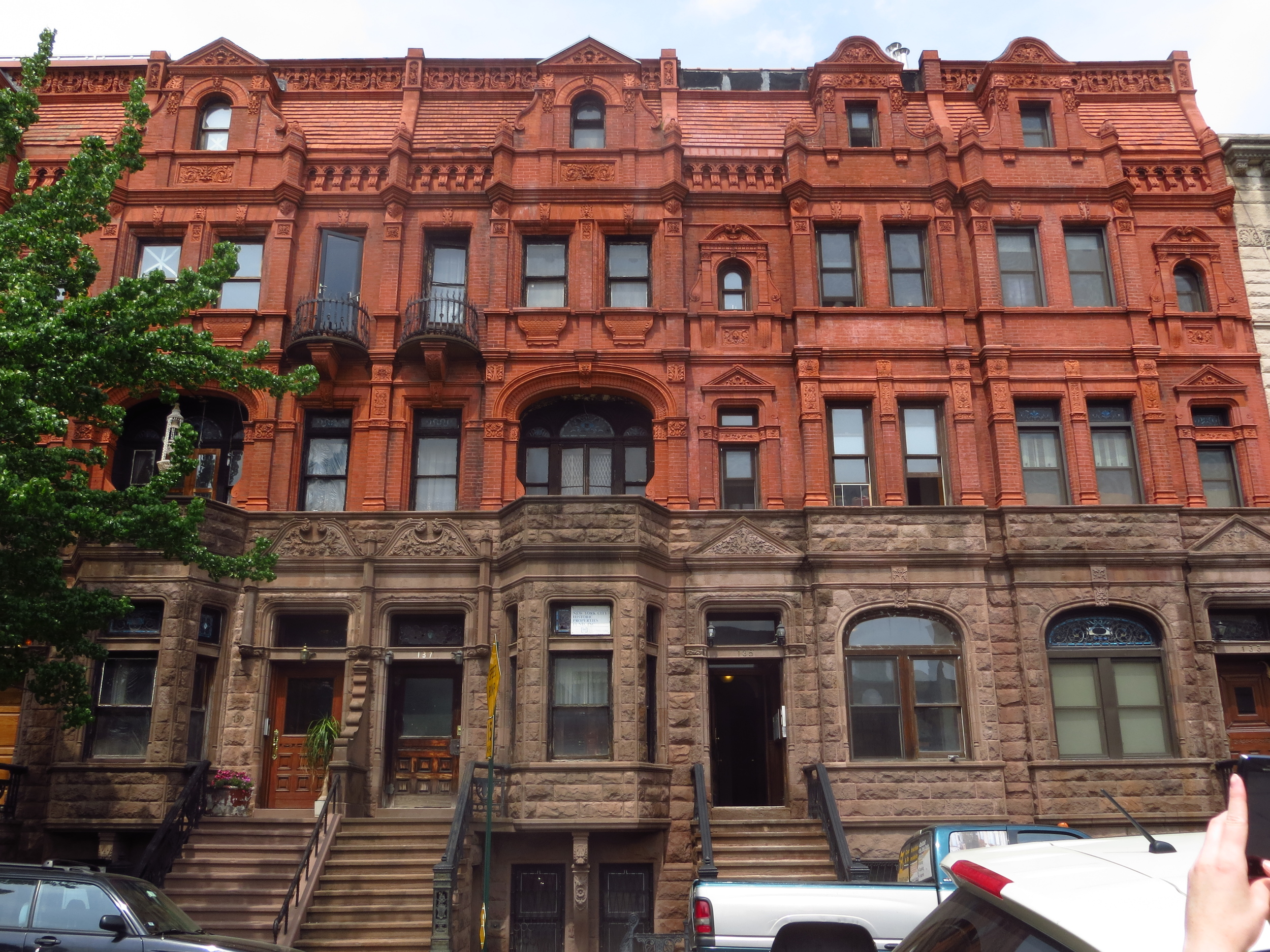
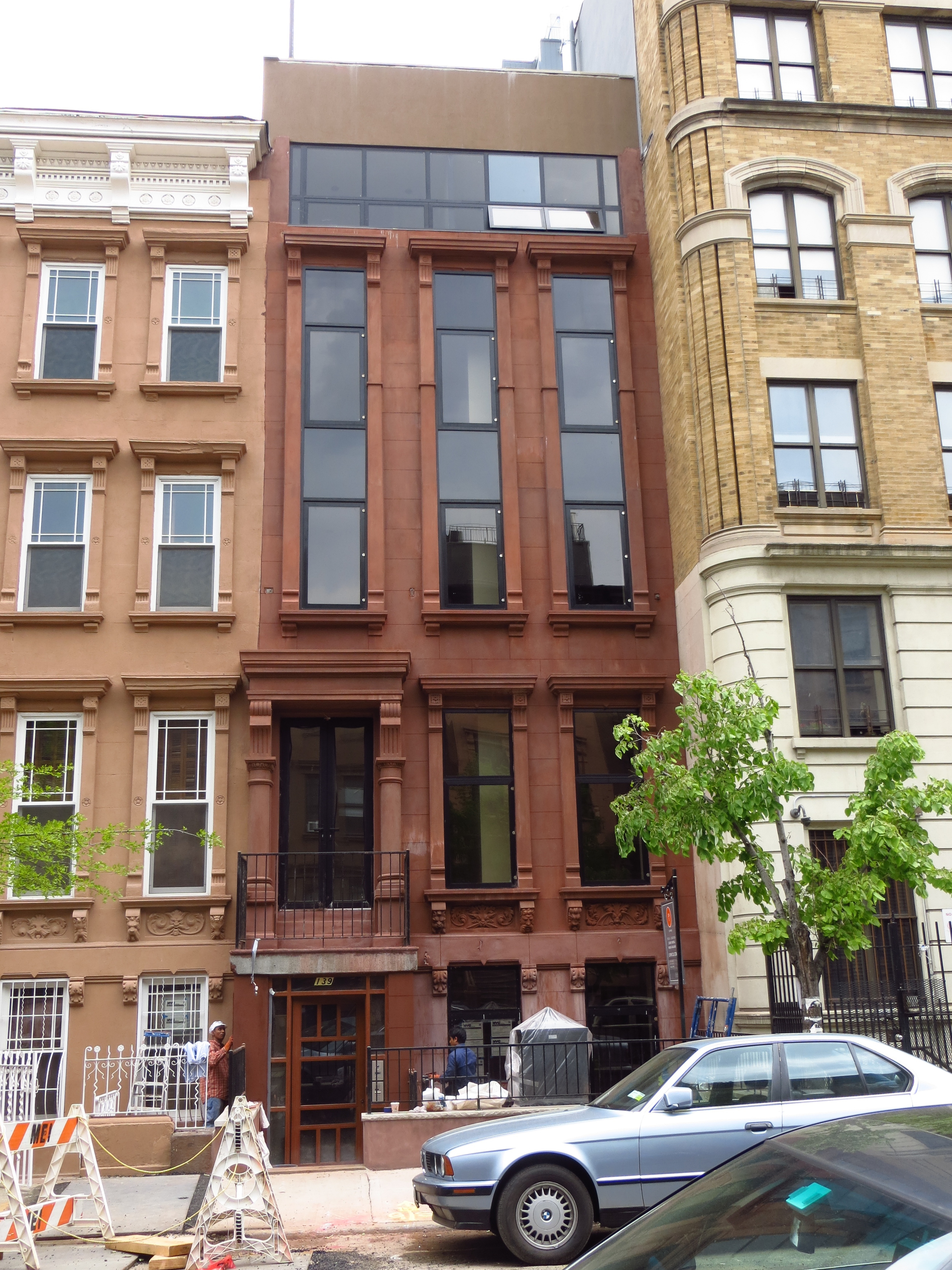
This walk was similar to last week's walk in a lot of ways. The general feel of the neighborhood was similar and it shared the same history. The most notable feature, architecturally, was all of the great brownstones; most had been well maintained, others had been restored or were being restored (and in some cases, interestingly modernized), and unfortunately some others were in need of repair. One of these was Langston Hughes's home on 127th St., which is still standing but could use some work.
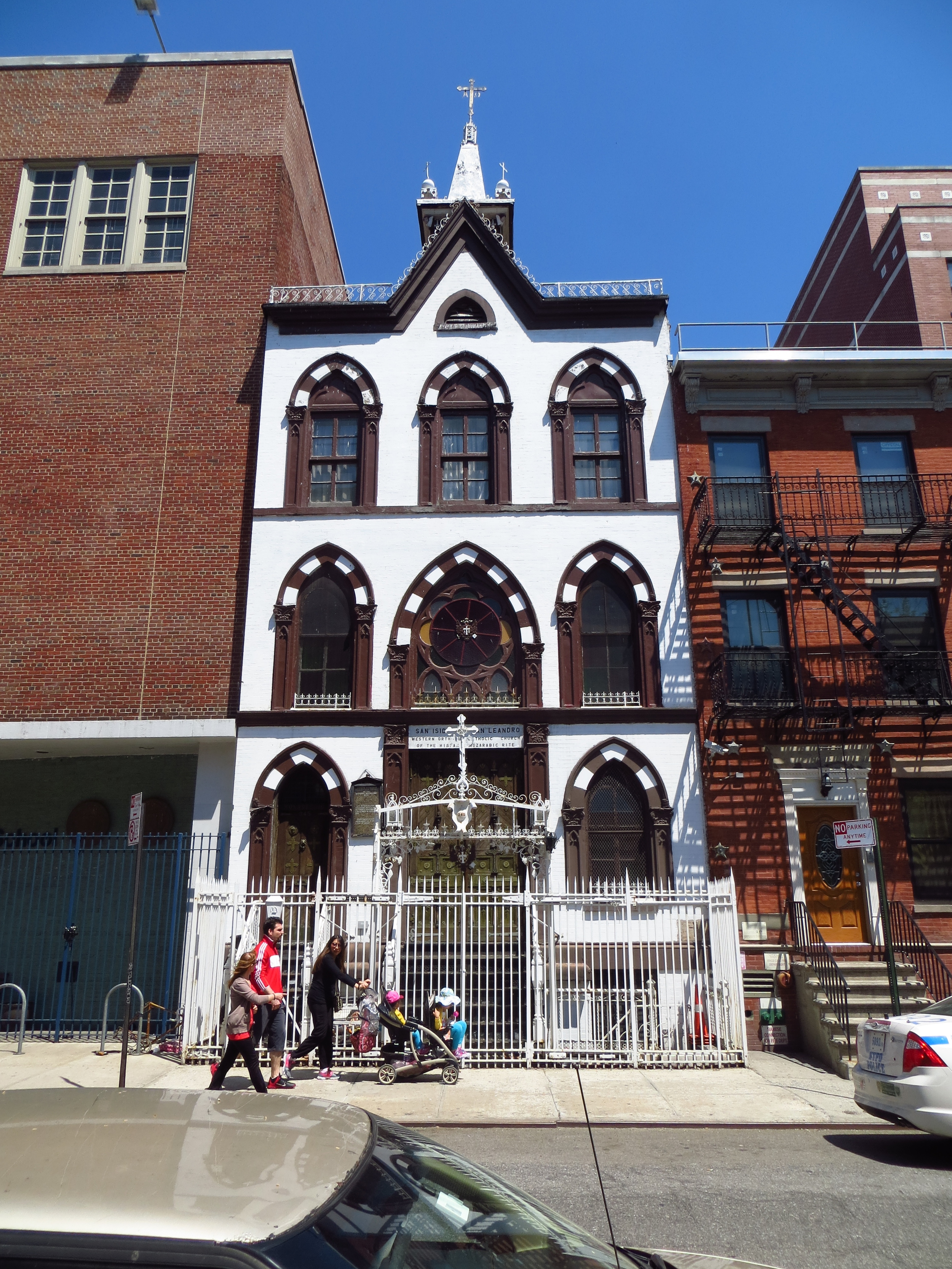
The other thing I noticed was a lot of old Catholic churches, which were originally built by the area's former German, Irish and Italian communities in the late 1800's.
Finally, I feel obligated to mention how friendly everyone was. More people said "good morning" to me today than in the entirety of my other three years in New York.
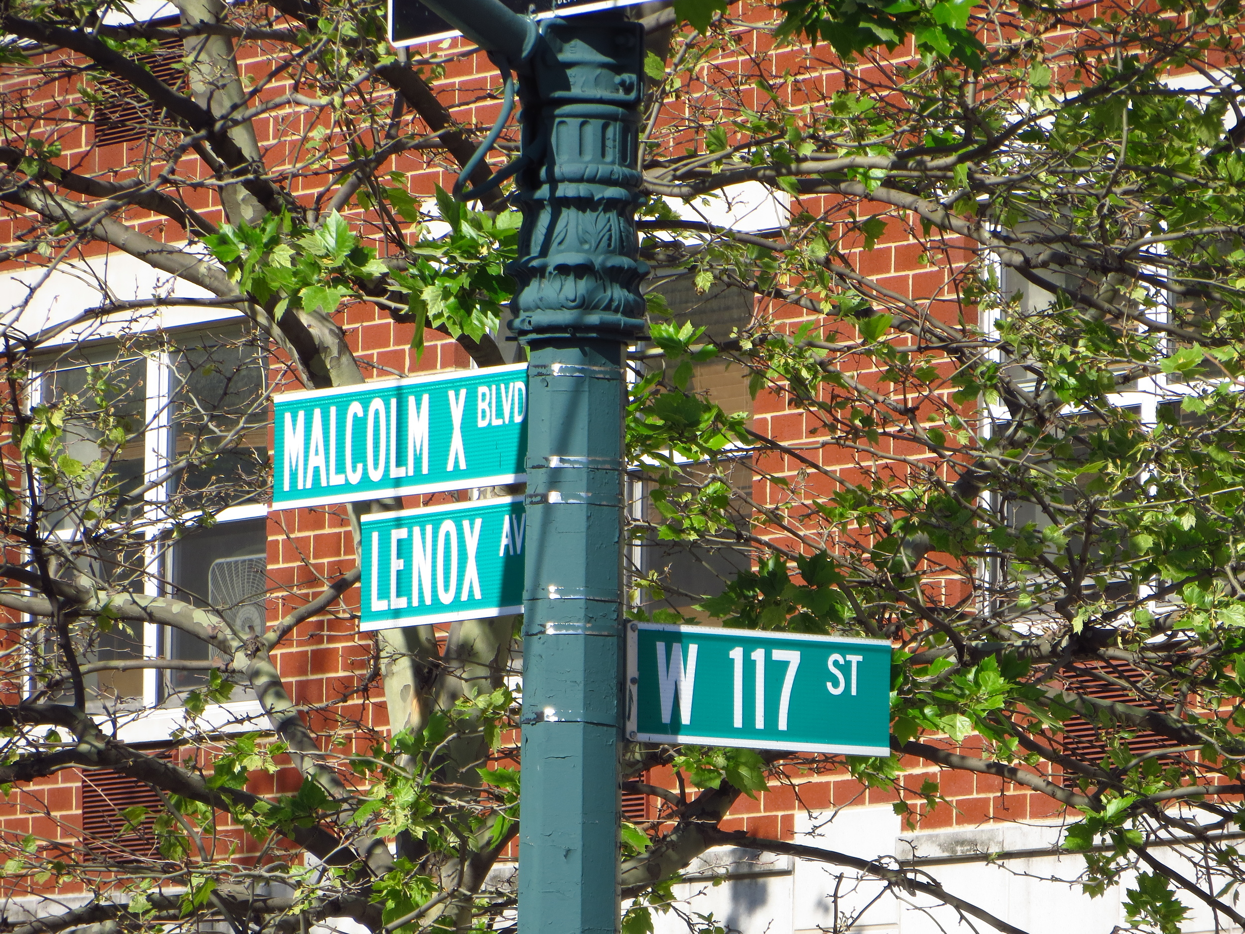
117th St. @ Lenox Ave.
117th St. btw Madison Ave. & Park Ave.
117th St. btw 3rd Ave. & 2nd Ave.
118th St. btw 1st Ave. & 2nd Ave.
118th St. btw Madison Ave. & 5th Ave.
118th St. btw 5th Ave. & Lenox Ave.
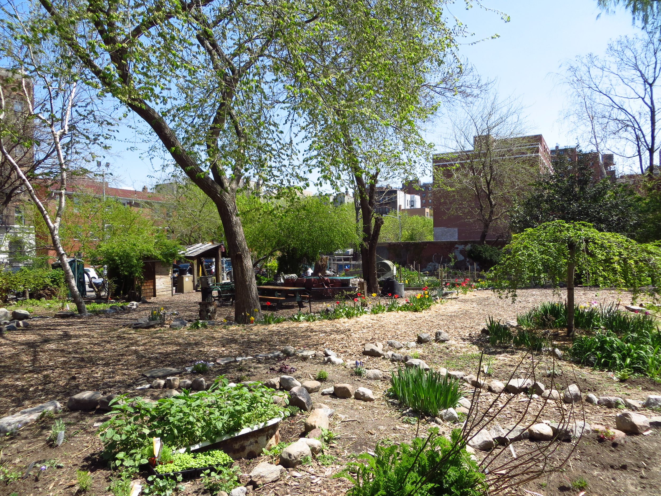
119th St. btw 1st Ave. & Pleasant Ave.
120th St. btw Lenox Ave. & 5th Ave.
120th St. btw Lenox Ave. & 5th Ave.
121st St. btw Lenox Ave. & 5th Ave.
121st St. btw 5th Ave. & Madison Ave.
121st St. btw 5th Ave. & Madison Ave.
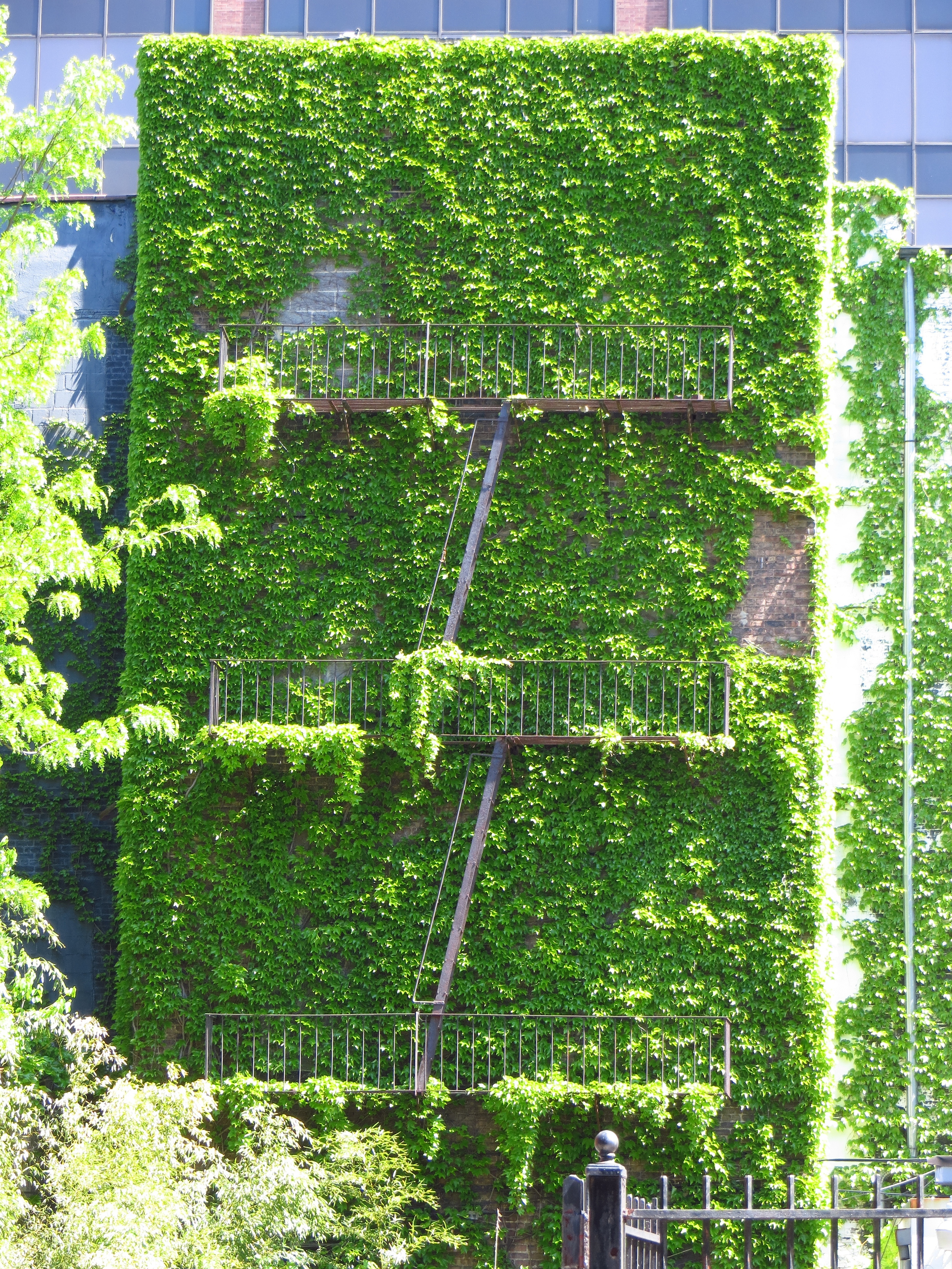
123rd St. btw 5th Ave. & Lenox Ave.
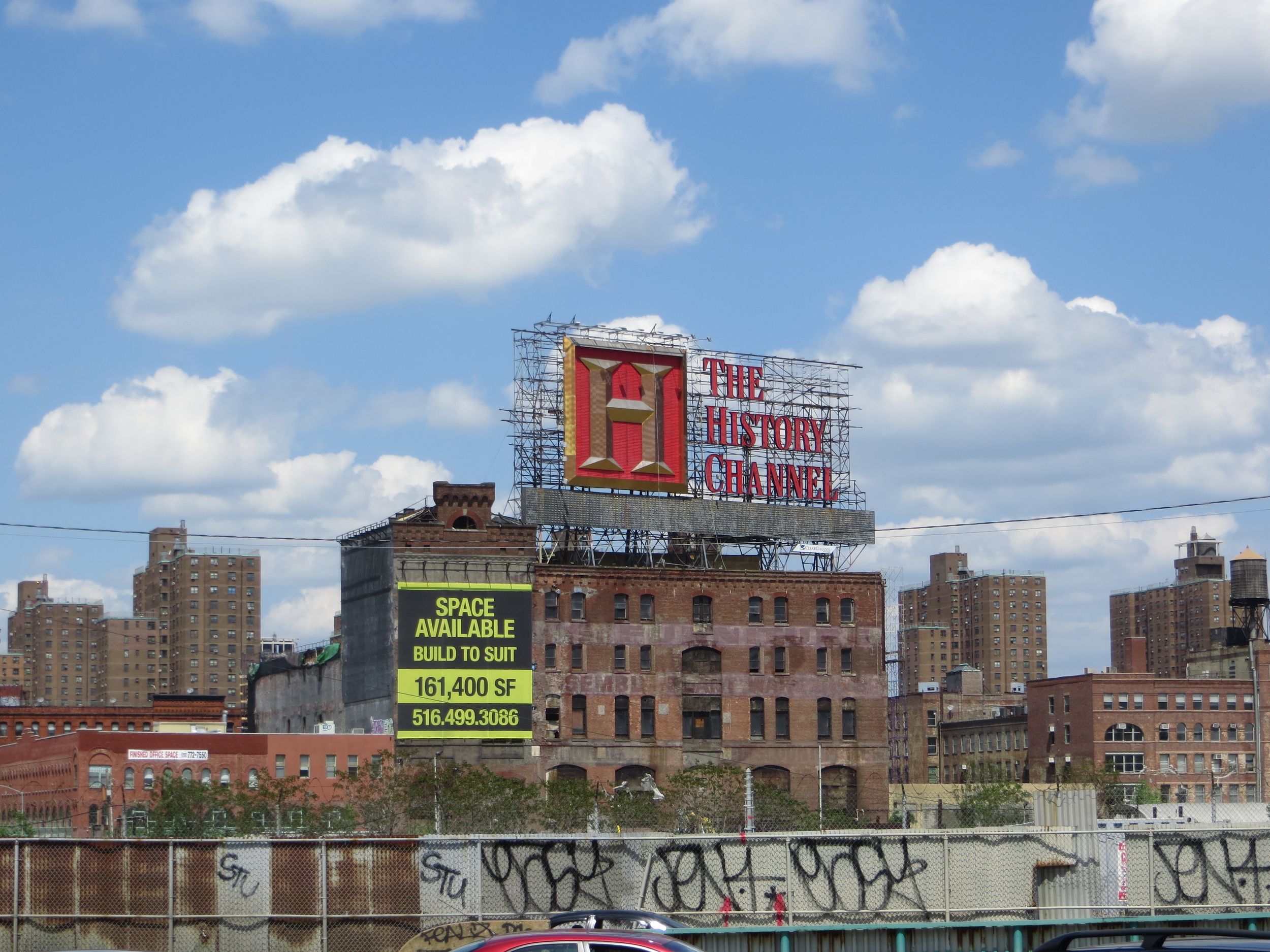
125th St. btw Park Ave. & Lexington Ave.
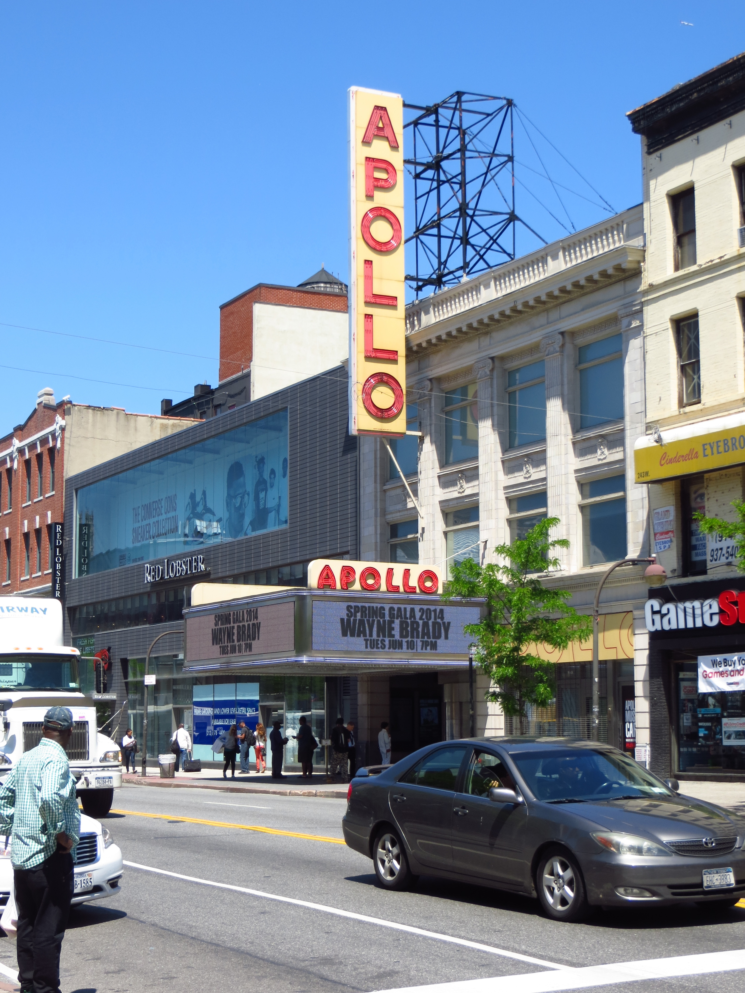
125th St. btw. Adam Clayton Powell Jr. Blv. & Frederick Douglass Blvd.
126th St. btw. Lenox Ave. & 5th Ave.
126th St. btw. Park Ave. & Lexongton Ave.
126th St. btw. Lexington Ave. & 3rd Ave.
127th St. btw. 5th Ave. & Madison Ave.
128th St. btw. Adam Clayton Powell Jr. Blvd. & Lenox Ave.
128th St. btw. 5th Ave. & Madison Ave.
128th St. btw. 5th Ave. & Madison Ave.
128th St. @ 2nd Ave.
128th St. @ 2nd Ave.
128th St. @ 2nd Ave.
129th St. btw Park Ave. & Madison Ave.
130th St. btw Lenox Ave. & 5th Ave.
130th St. btw Lenox Ave. & 5th Ave.
130th St. btw Park Ave. & Lexington Ave.
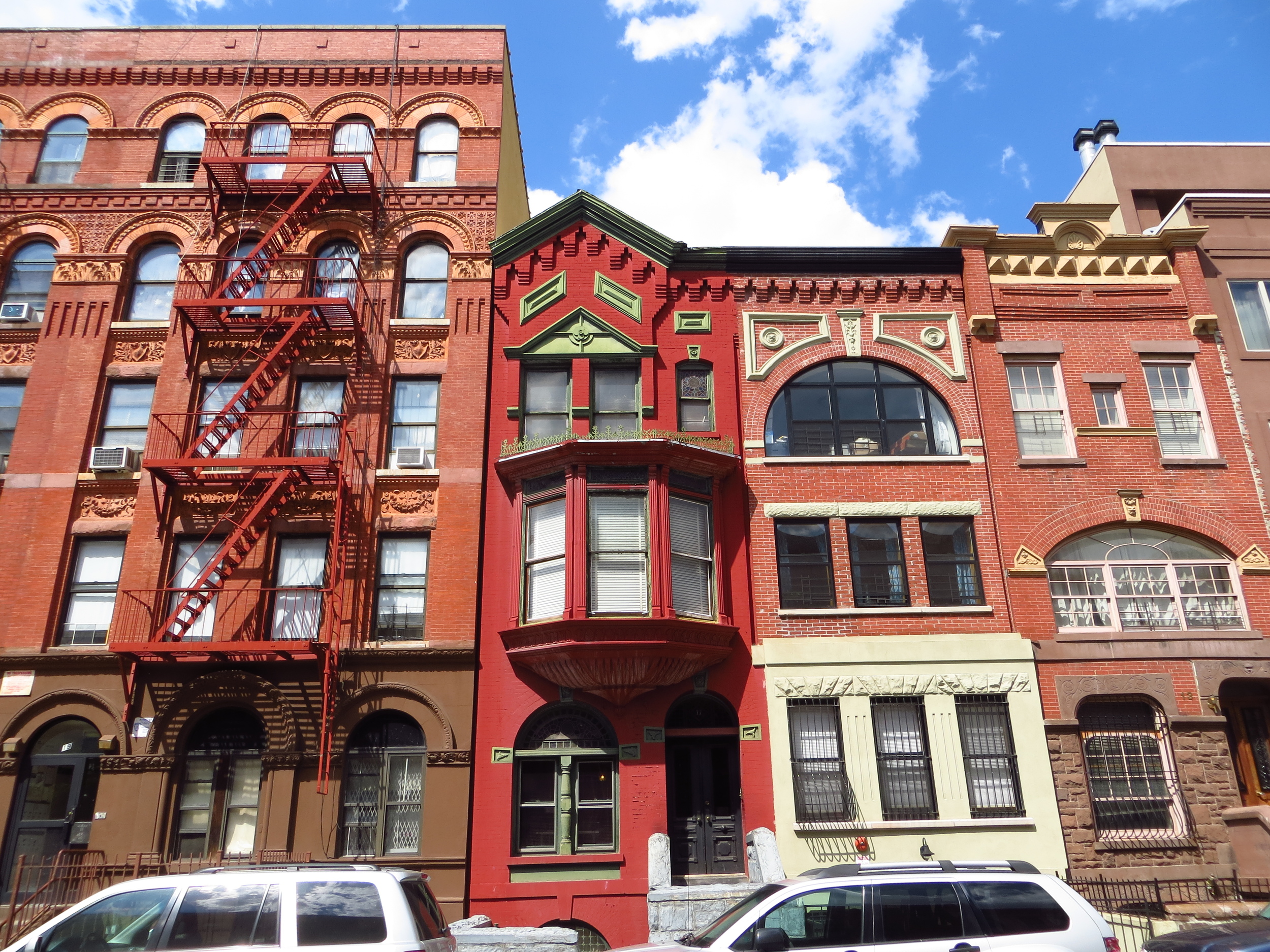
131st St. btw 5th Ave. & Lenox Ave.
132nd St. btw. Adam Clayton Powell Jr. Blv. & Frederick Douglass Blvd.
132nd St. @ Park Ave.
134th St. btw. Adam Clayton Powell Jr. Blv. & Frederick Douglass Blvd.
135th St. btw. Adam Clayton Powell Jr. Blv. & Lenox Ave.
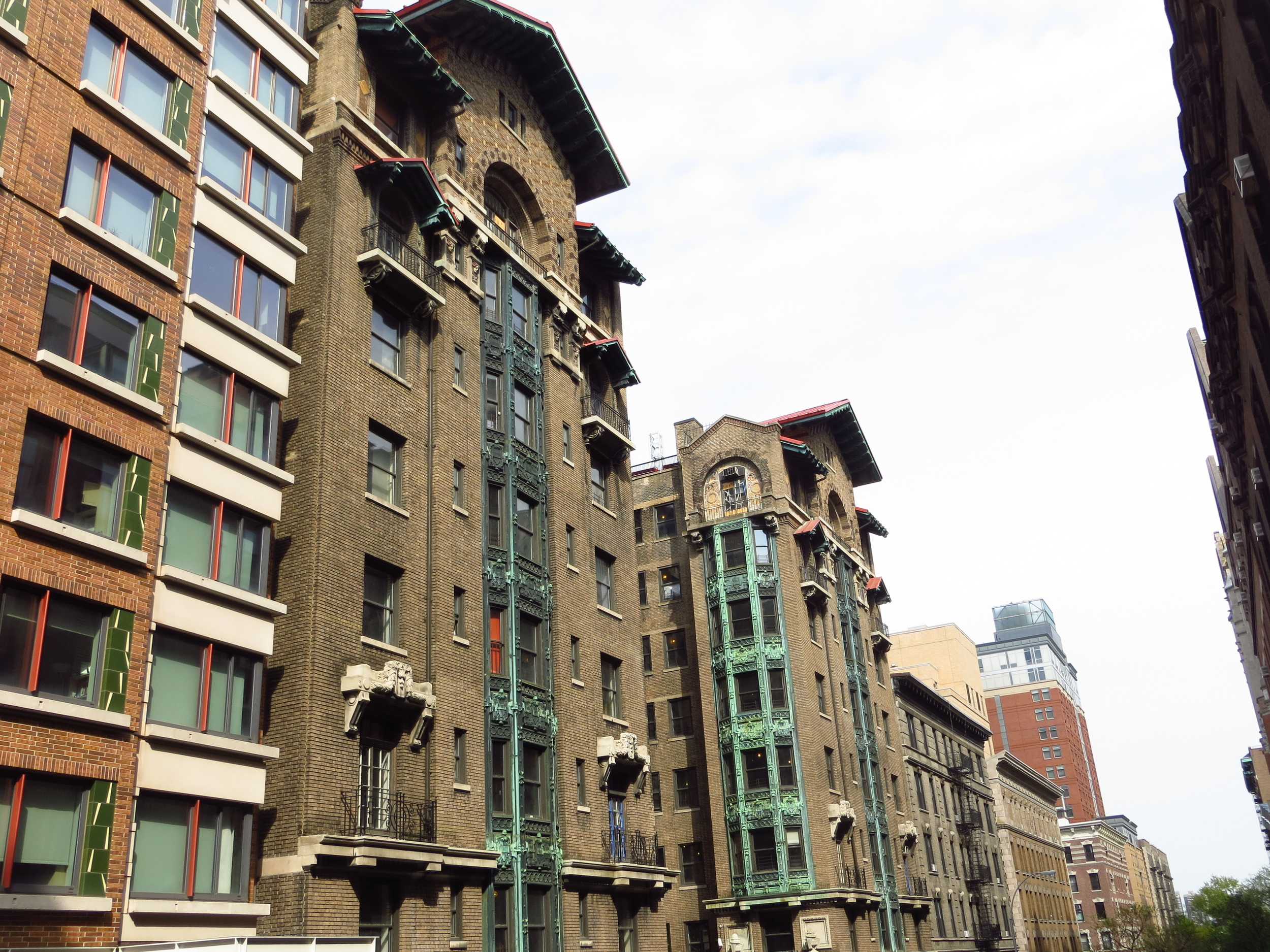
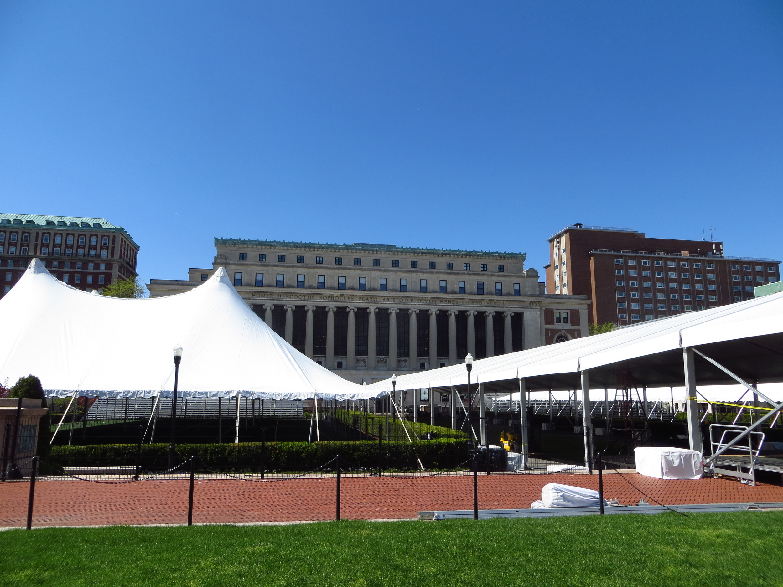
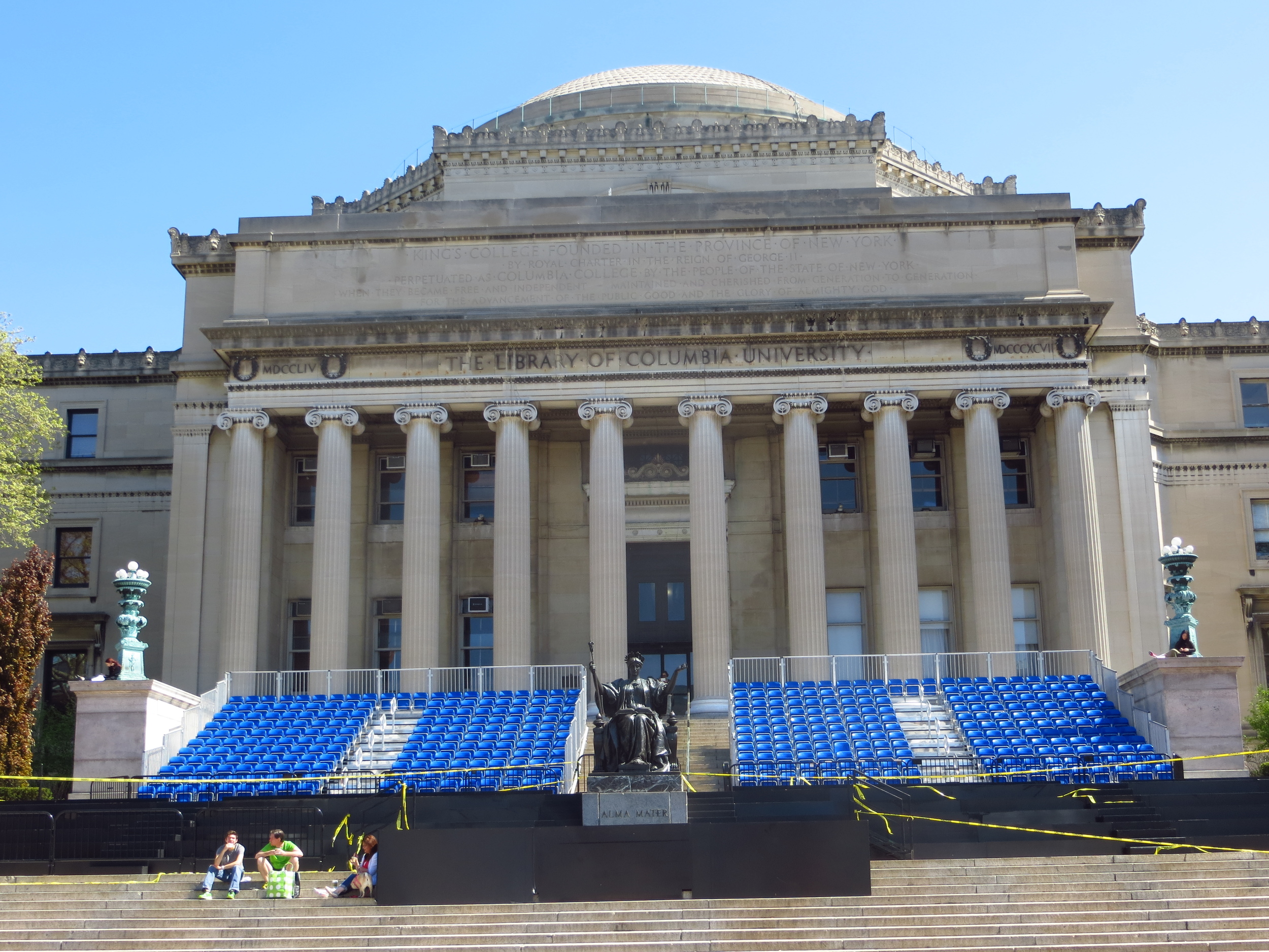
This weekend's walk was uptown again - I did some of South Harlem (W 110th - W. 124th west of Lenox Ave.), pretty much all of Morningside Heights, and a few more blocks of the Upper West Side. It ended up being a two day walk - as I was walking through Columbia at about W 117th St. the a big thunderstorm rolled through and I decided it might be a good time to head home. All in all about 17 miles.

Two days' walk
Harlem was originally a Dutch farming village in the New Amsterdam era and remained mostly agricultural through the mid-1800's. As it began to develop, the area was home to large Italian and Jewish immigrant populations, but a housing crash in 1904 led to a major influx of African American residents, paving the way for the eponymous "Harlem Renaissance".
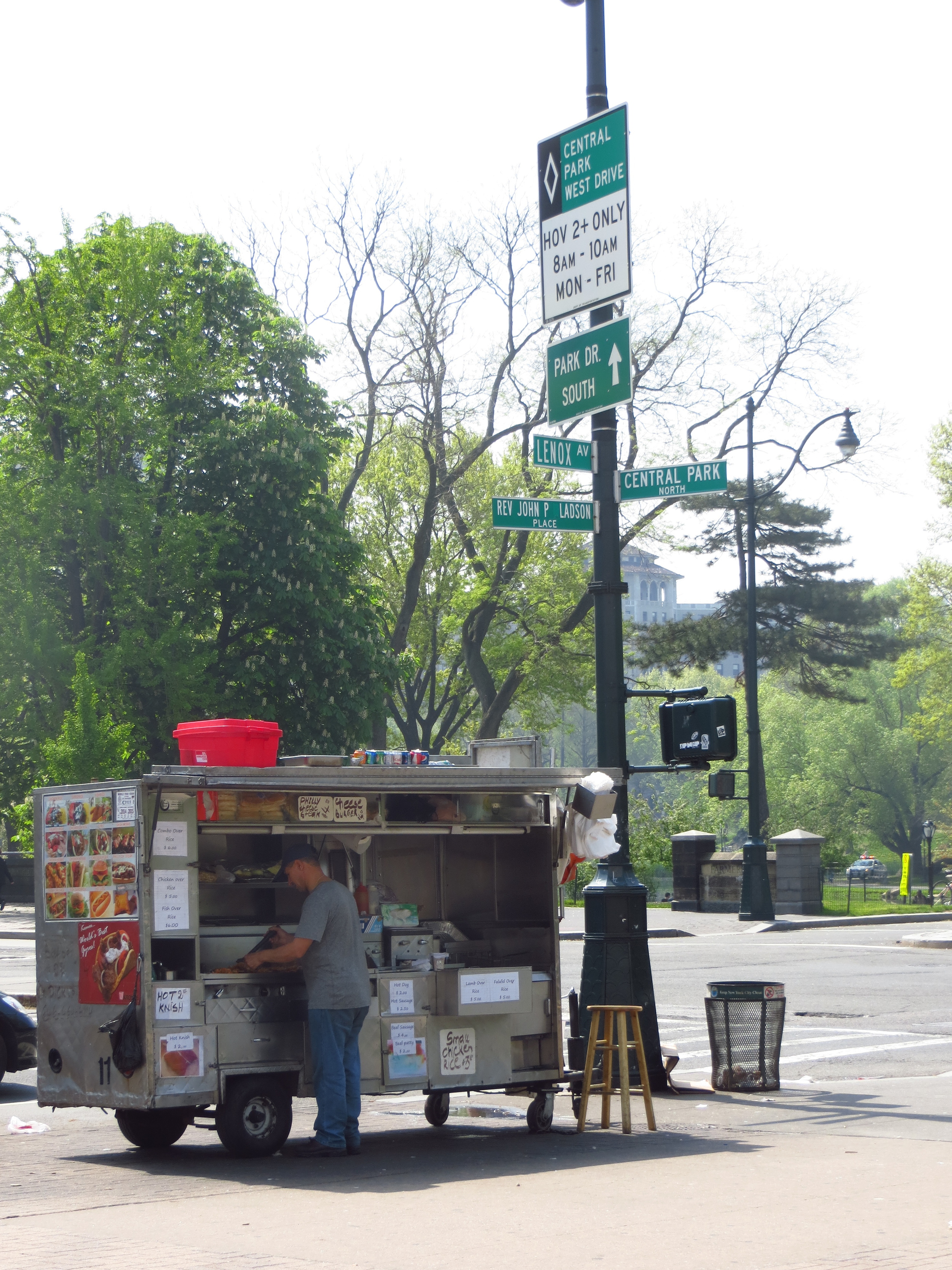
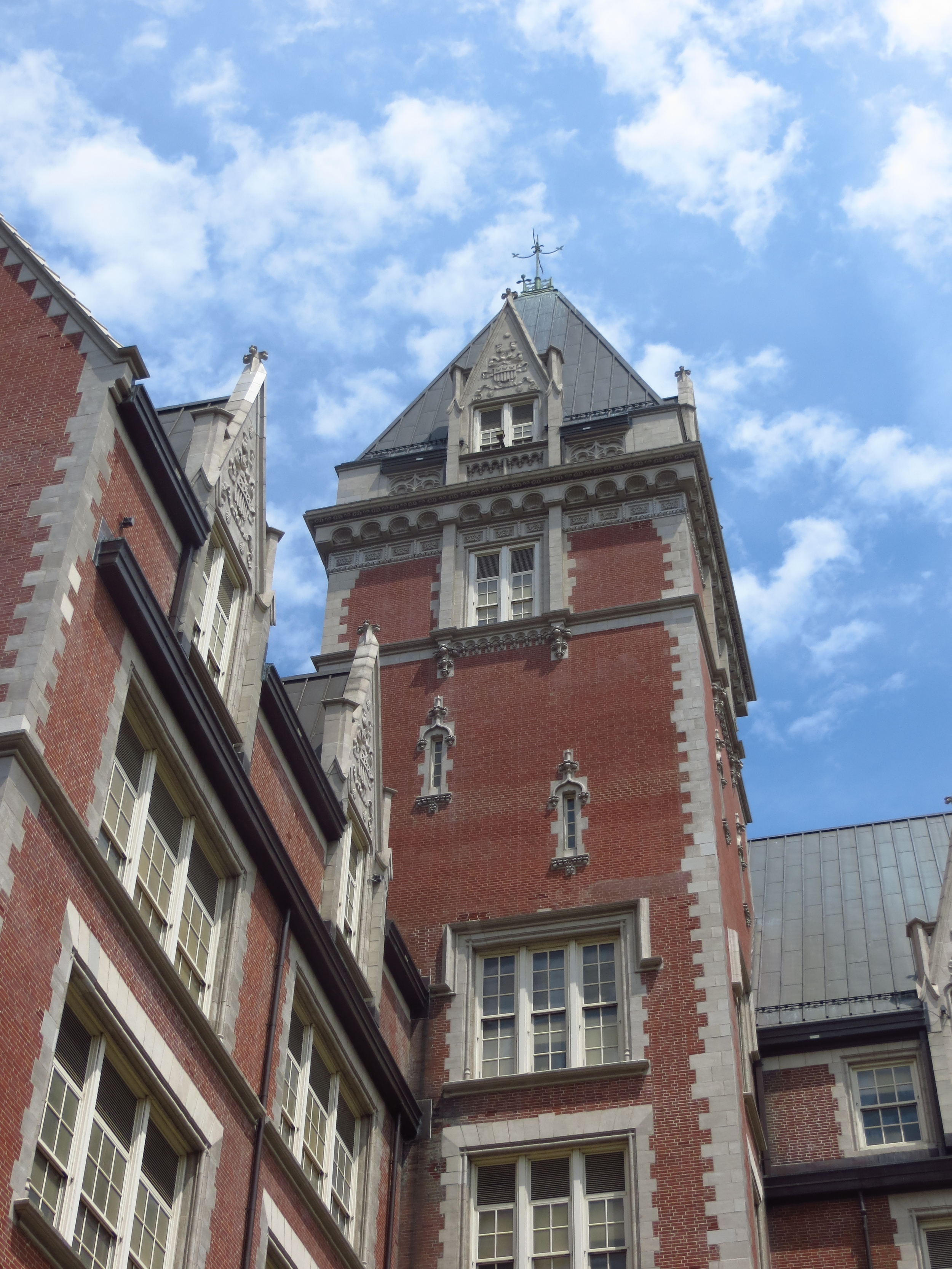
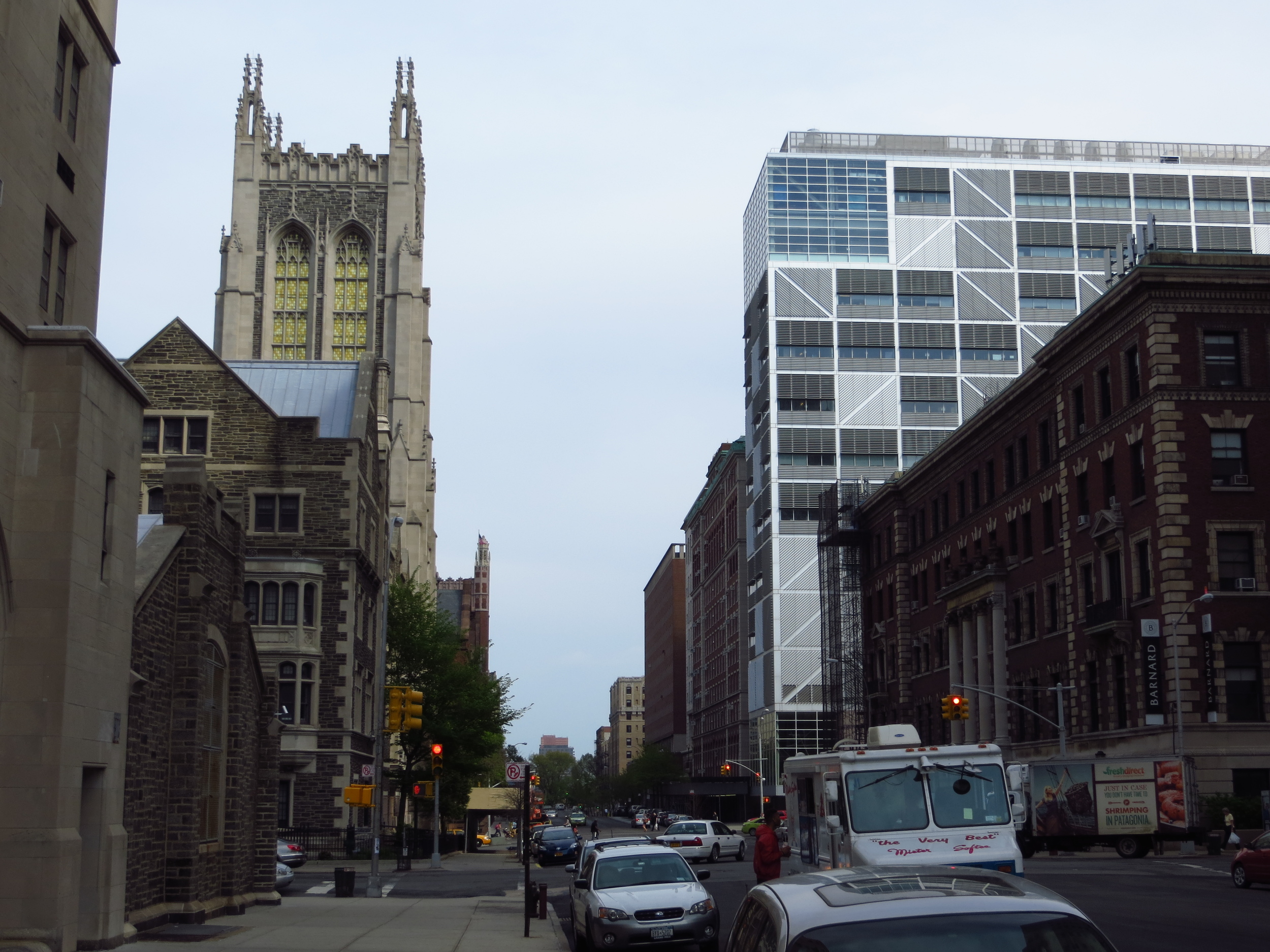
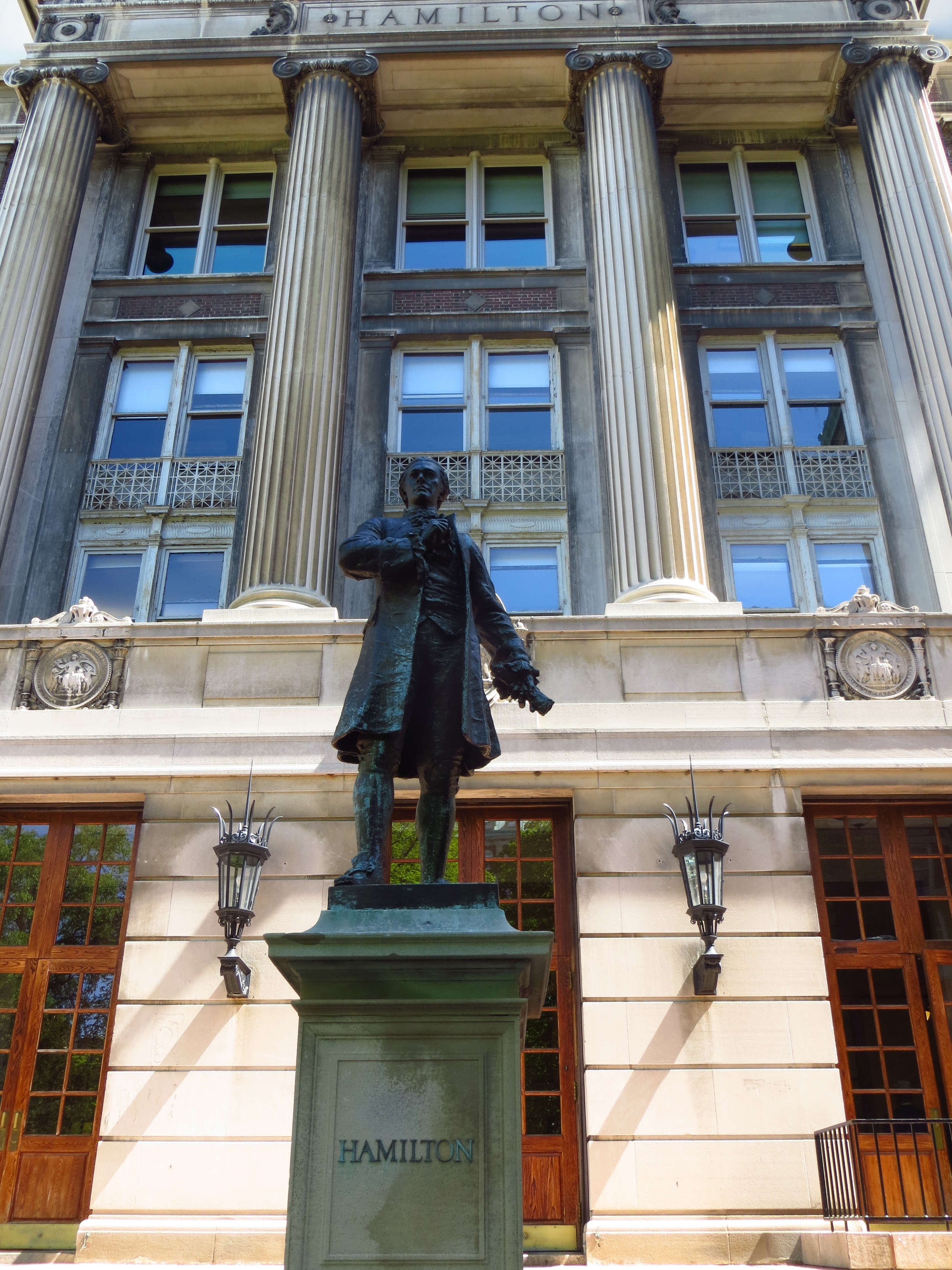
To the west of Harlem, up on a bluff, is Morningside Heights. The area was home to the Revolutionary War Battle of Harlem Heights, which Washington fought (and won) after his retreat from the Battle of Long Island. Notable landmarks in the neighborhood are Columbia University, which was founded in 1754 as Kings' College and originally located downtown near present-day City Hall. For reasons unknown to history they changed the name in 1784. A number of other higher education institutions are nearby, including Barnard College and a couple of seminaries.
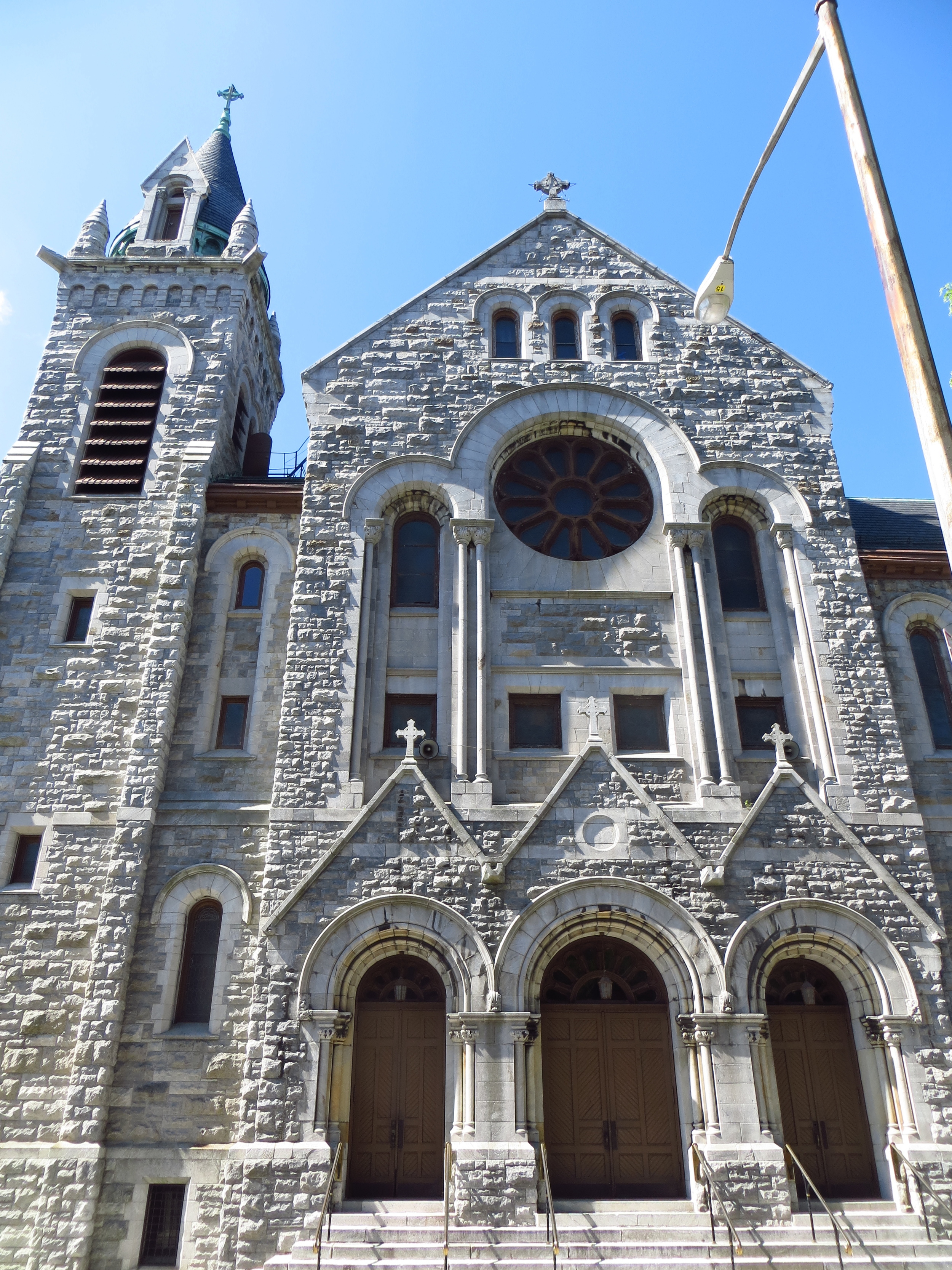
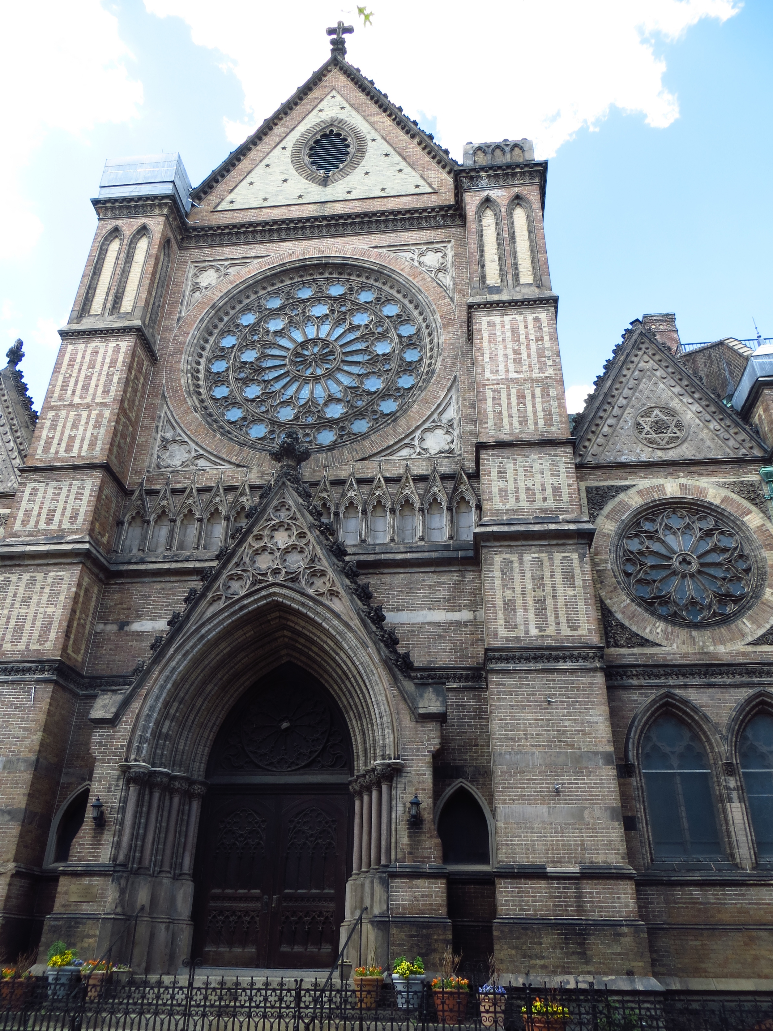
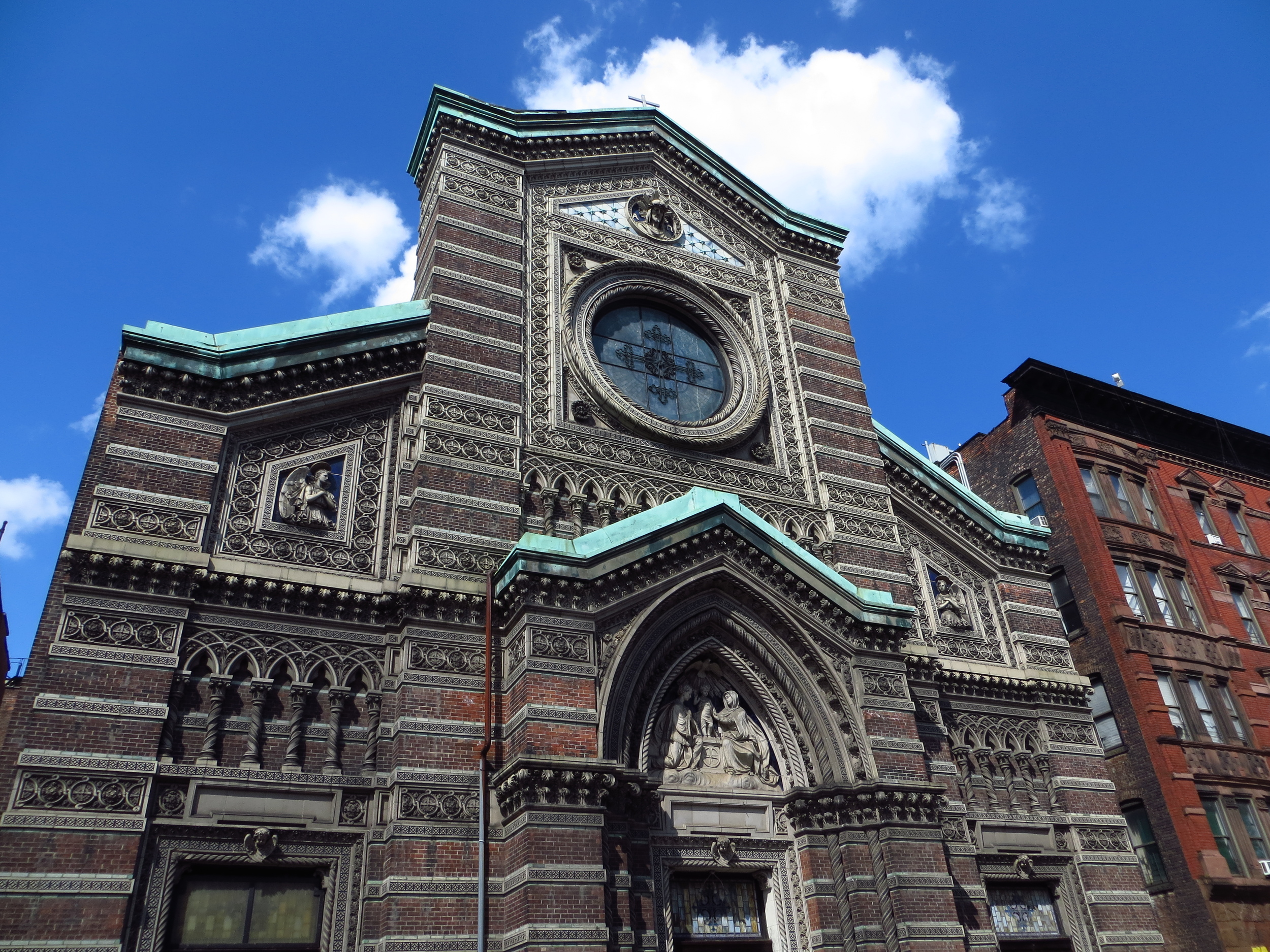
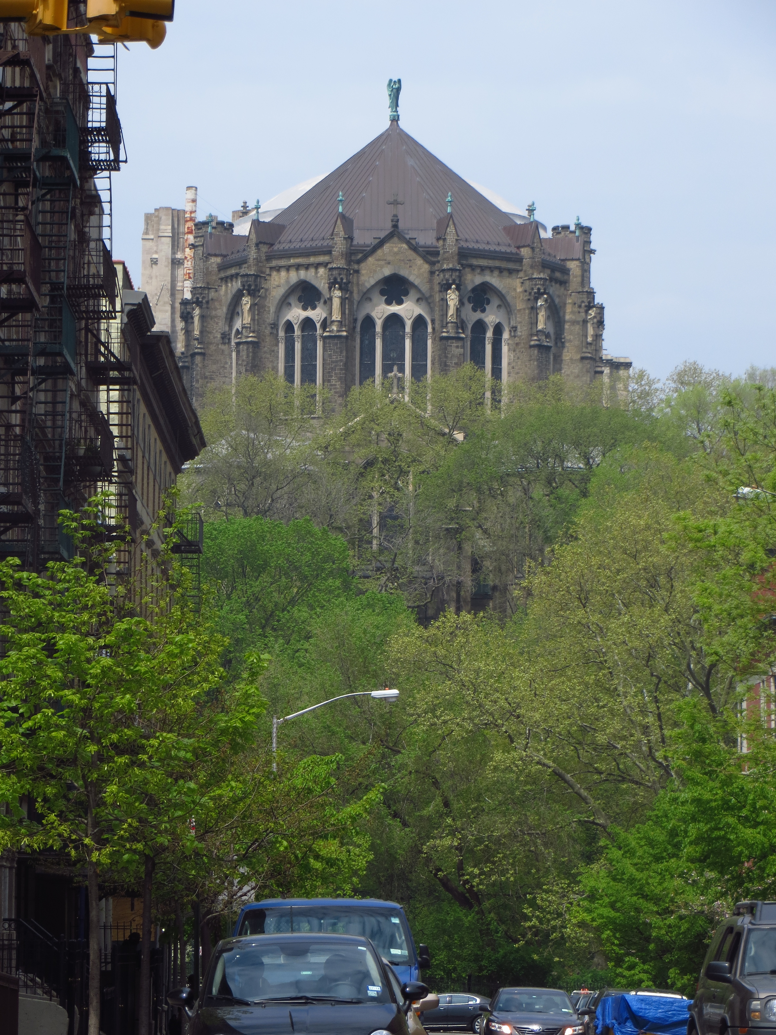
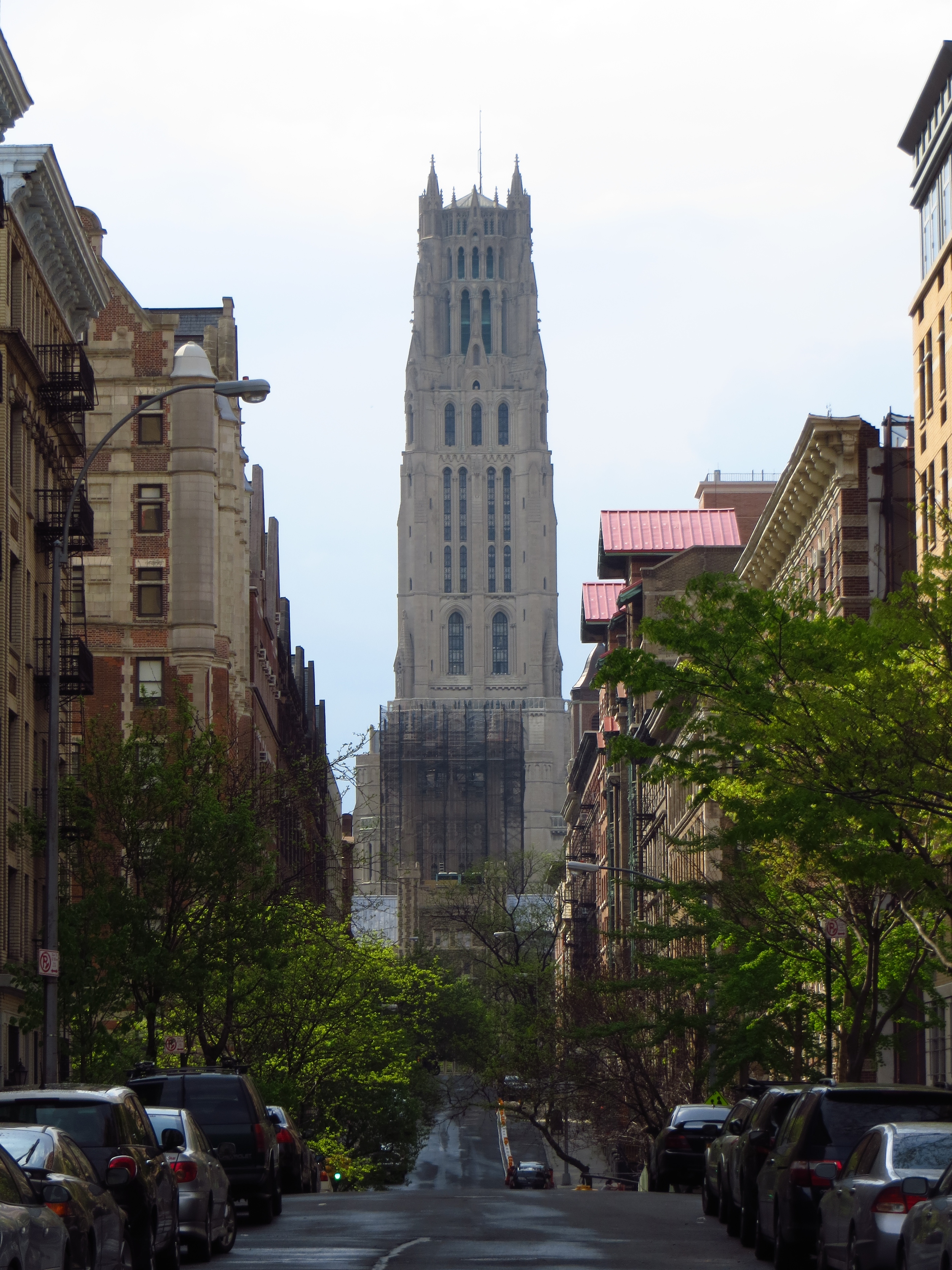
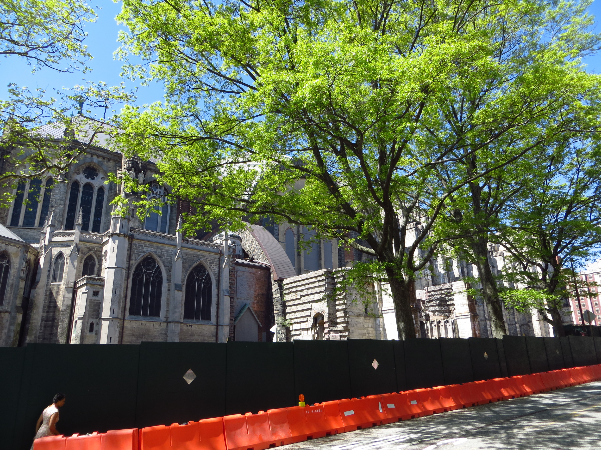
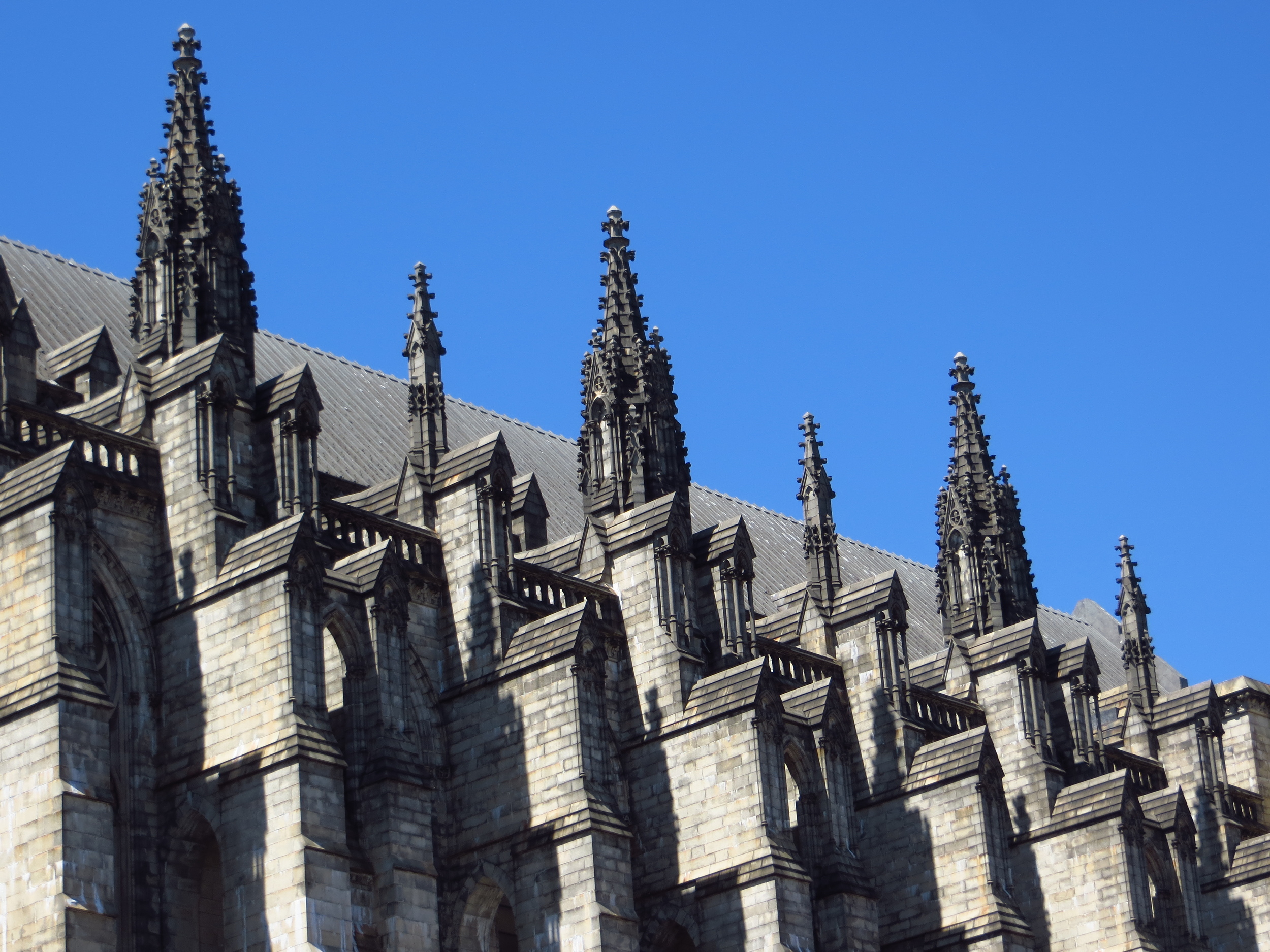
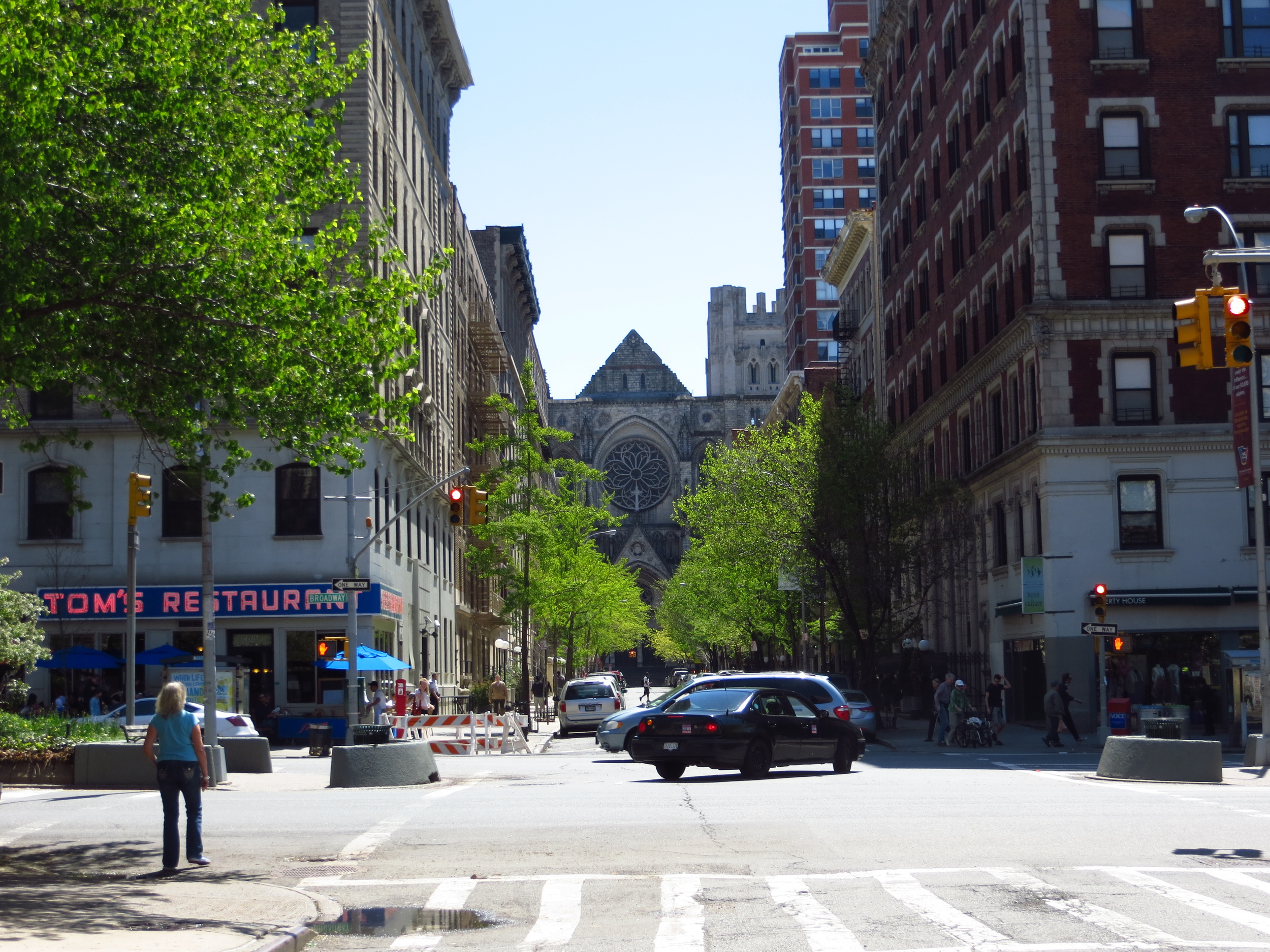
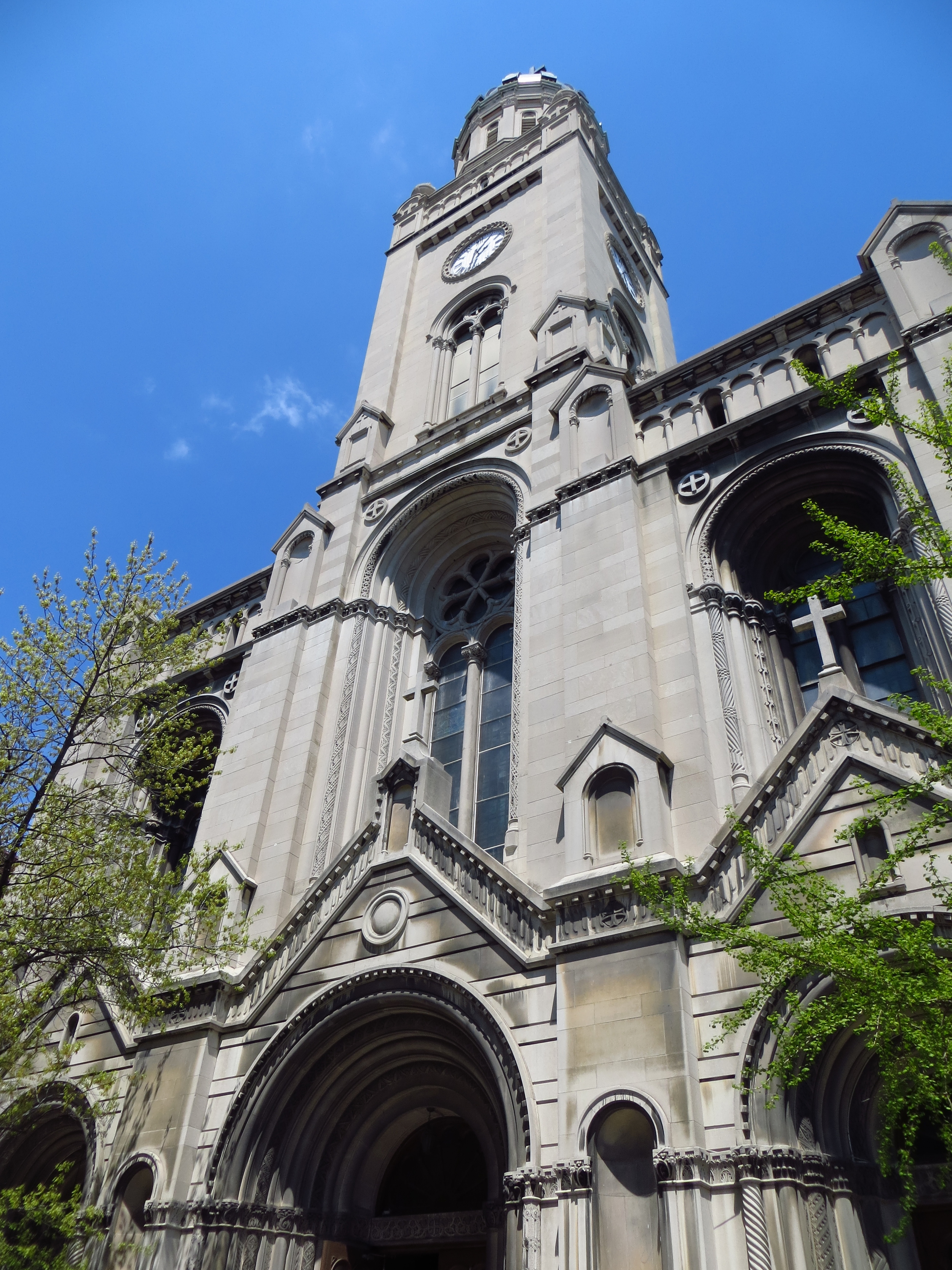
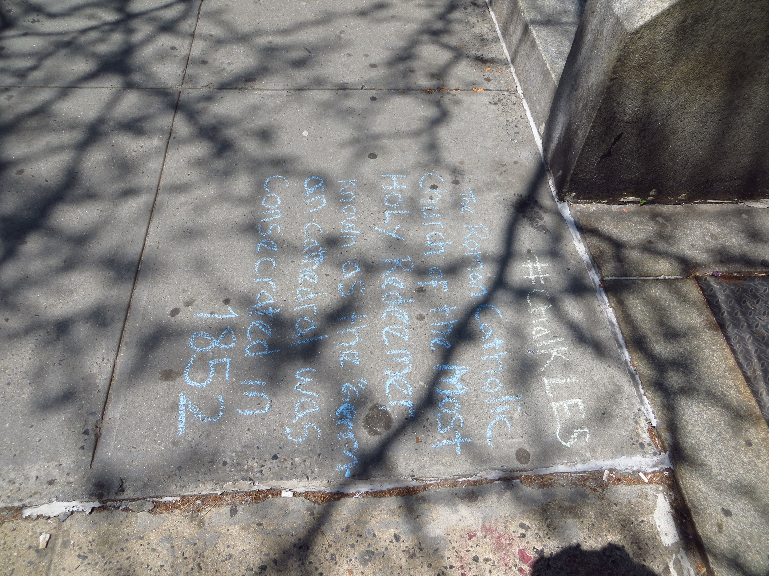
Of final note, although St. Patrick's Cathedral in Midtown often gets the top billing in the guidebooks, the Episcopal Cathedral of St. John the Divine. (W. 112th & Amsterdam Ave.) is significantly larger (the largest in North America and fourth largest in the world, in fact). It was originally designed in a Byzantine/Romanesque style (think domes and roman arches) and construction began in 1892, but the plans changed in 1909 and the powers that be decided that they wanted a Gothic cathedral instead. Construction was still underway as recently as 2001, when a fire damaged the north transept, and so the cathedral remains an unfinished mish-mash of architectural styles (ever hear the Johnny Cash song, "One Piece at a Time"?). While you get the sense that the cathedral still doesn't know what it wants to be when it grows up, it is very pretty and impressive.
W. 110th St. @ Lenox Ave
W. 110th St. btw Lenox Ave & Adam Clayton Powell Blvd.
W. 112th St. btw Lenox Ave & Adam Clayton Powell Blvd.
W. 112th St. btw Adam Clayton Powell Jr. Ave & Frederick Douglass Blvd.
W. 112th St. btw Adam Clayton Powell Jr. Ave & Frederick Douglass Blvd.
W. 112th St. btw Adam Clayton Powell Jr. Ave & Frederick Douglass Blvd.
W. 114th St. btw Adam Clayton Powell Jr. Ave & Frederick Douglass Blvd.
W. 114th St. btw Adam Clayton Powell Jr. Ave & Frederick Douglass Blvd.
W. 114th St. btw Frederick Douglass Blvd. & Manhattan Ave.
W. 114th St. btw Manhattan Ave. & Morningside Dr.
W 119th btw Adam Clayton Powell Jr. Ave & Lenox Ave.
W 119th btw Manhattan Ave. & Morningside Dr.
W. 121st St. btw Manhattan Ave. & Frederick Douglass Blvd.
W. 122nd St. btw Lenox Ave. & Adam Clayton Powel Jr. Blvd.
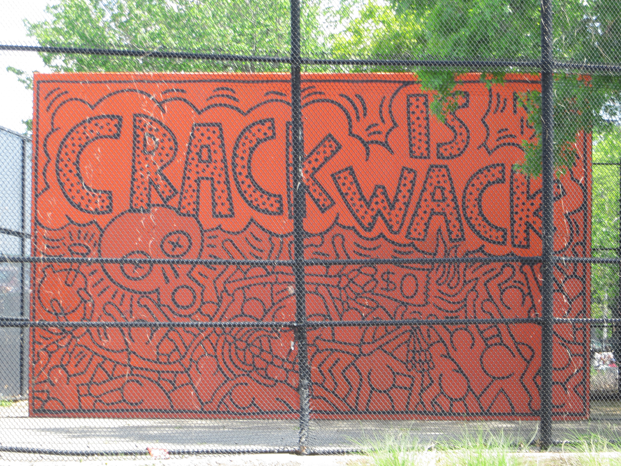
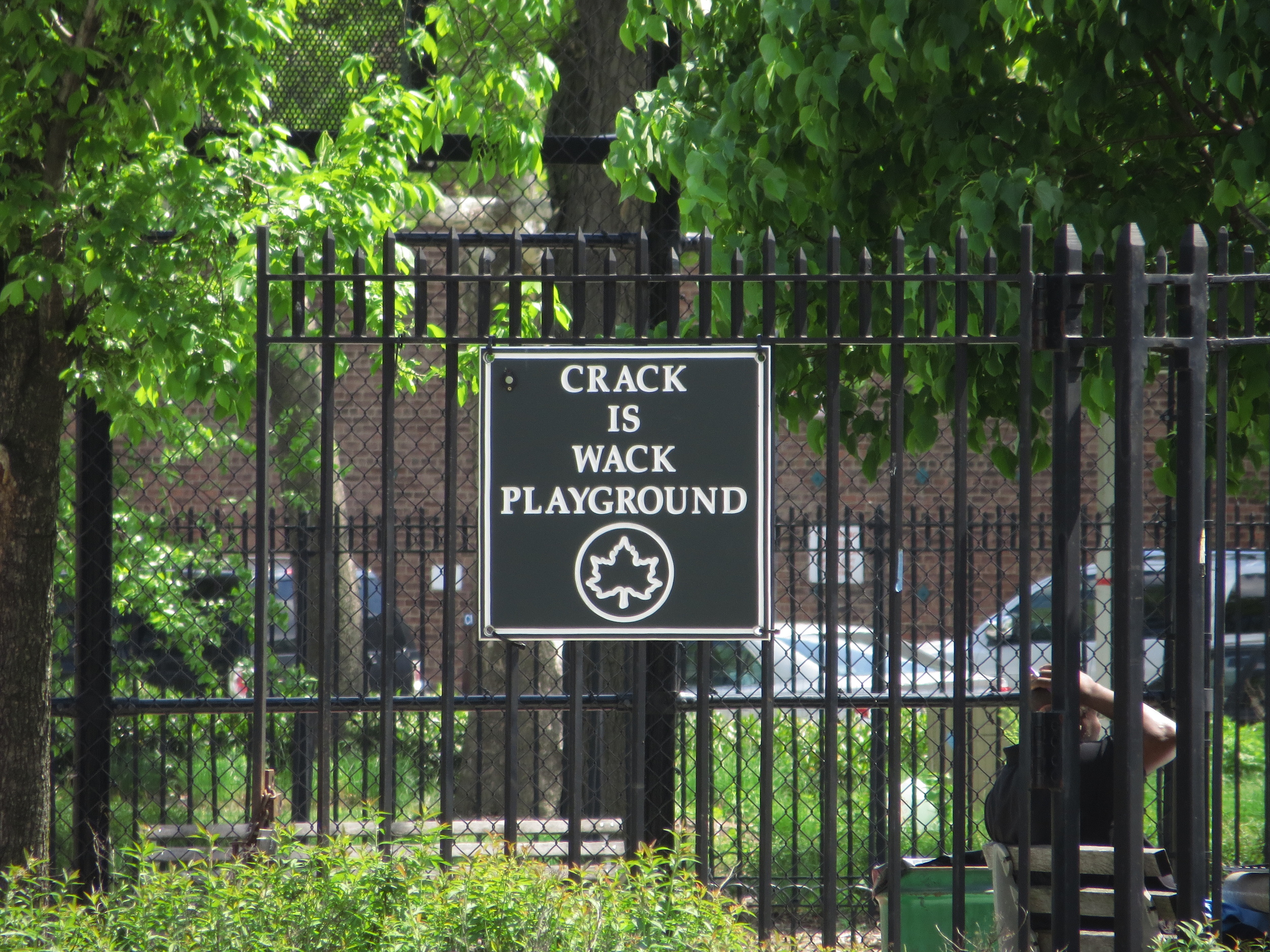
W 124th St.
W 123rd St.
W 123rd St. btw Morningside Ave. & Amsterdam Ave.
W 121st St. btw Broadway & Amsterdam Ave.
approx. W 118th St. btw. Broadway & Amsterdam
W 121st St. btw Amsterdam Ave. & Morningside Dr.
approx. W 118th St. btw. Broadway & Amsterdam
W 120th St. btw Riverside Dr. & Claremont Ave.
approx. W 116th St. btw. Broadway & Amsterdam
W 115th St. btw. Amsterdam Ave. & Morningside Dr.
W 114th St. btw. Amsterdam Ave. & Morningside Dr.
W 113th St. btw. Amsterdam Ave. & Broadway
W 113th St. btw. Amsterdam Ave. & Broadway
W 113th St. btw. Amsterdam Ave. & Broadway
W 113th St. btw. Amsterdam Ave. & Morningside Dr.
W 113th St. btw. Amsterdam Ave. & Morningside Dr.
W 113th St. btw. Amsterdam Ave. & Morningside Dr.
W 112th St. btw. Broadway & Riverside Dr.
W 111th St. btw. Broadway & Riverside Dr.
W 110th St. btw. Morningside Dr. & Manhattan Ave.
W 110th St. btw. Amsterdam Ave. & Broadway
W 110th St. btw. Amsterdam Ave. & Broadway
W 110th St. btw. Amsterdam Ave. & Broadway
W 109th St. btw. Amsterdam Ave. & Columbus Ave.

W 107th St. btw. Amsterdam Ave. & Broadway
W 107th St. btw. Amsterdam Ave. & Columbus Ave.
W 106th St. btw. Central Park West & Manhattan Ave.
W 106th St. btw. Columbus Ave. & Amsterdam Ave.
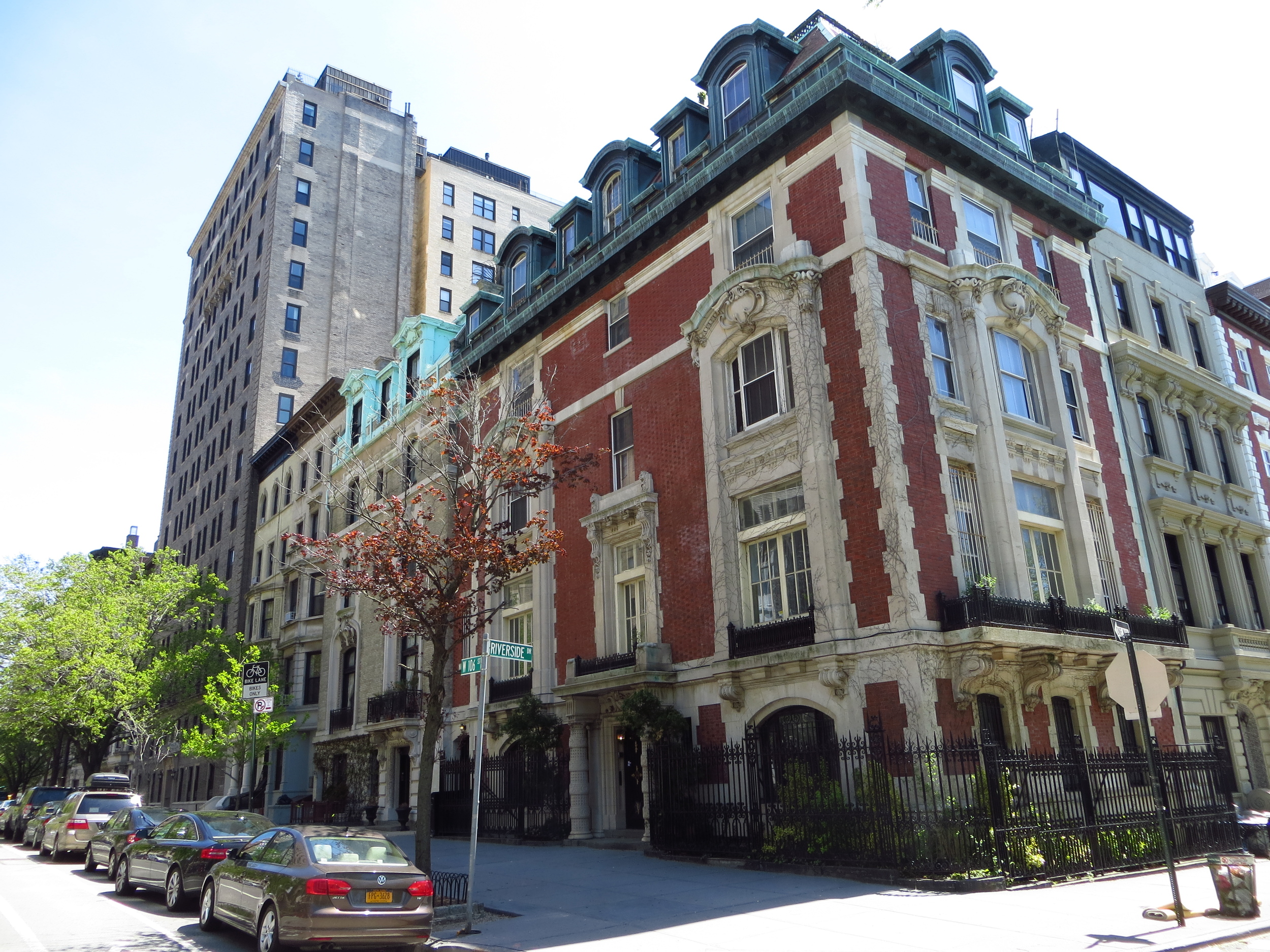
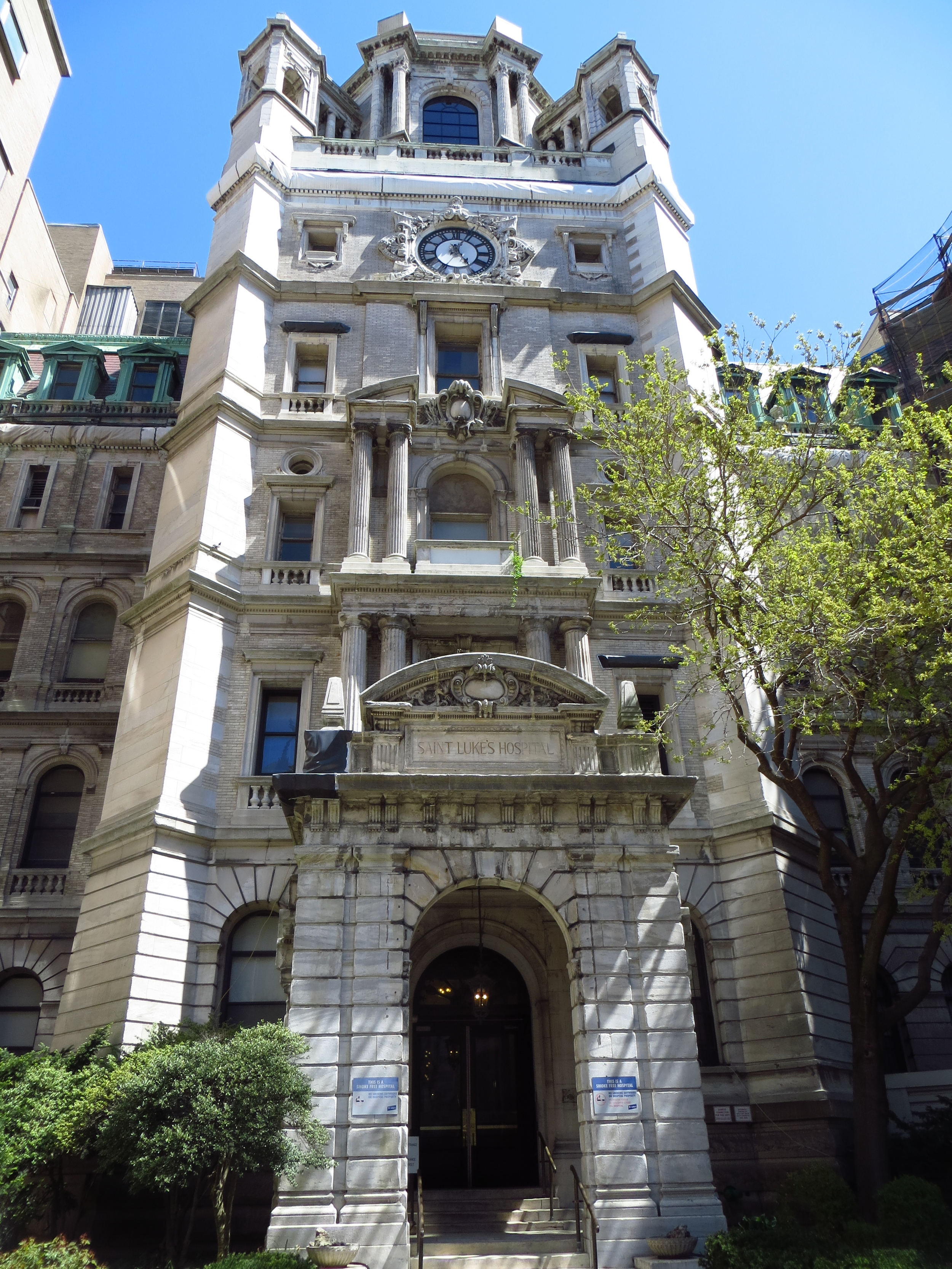
W 106th St. @ Riverside Dr.
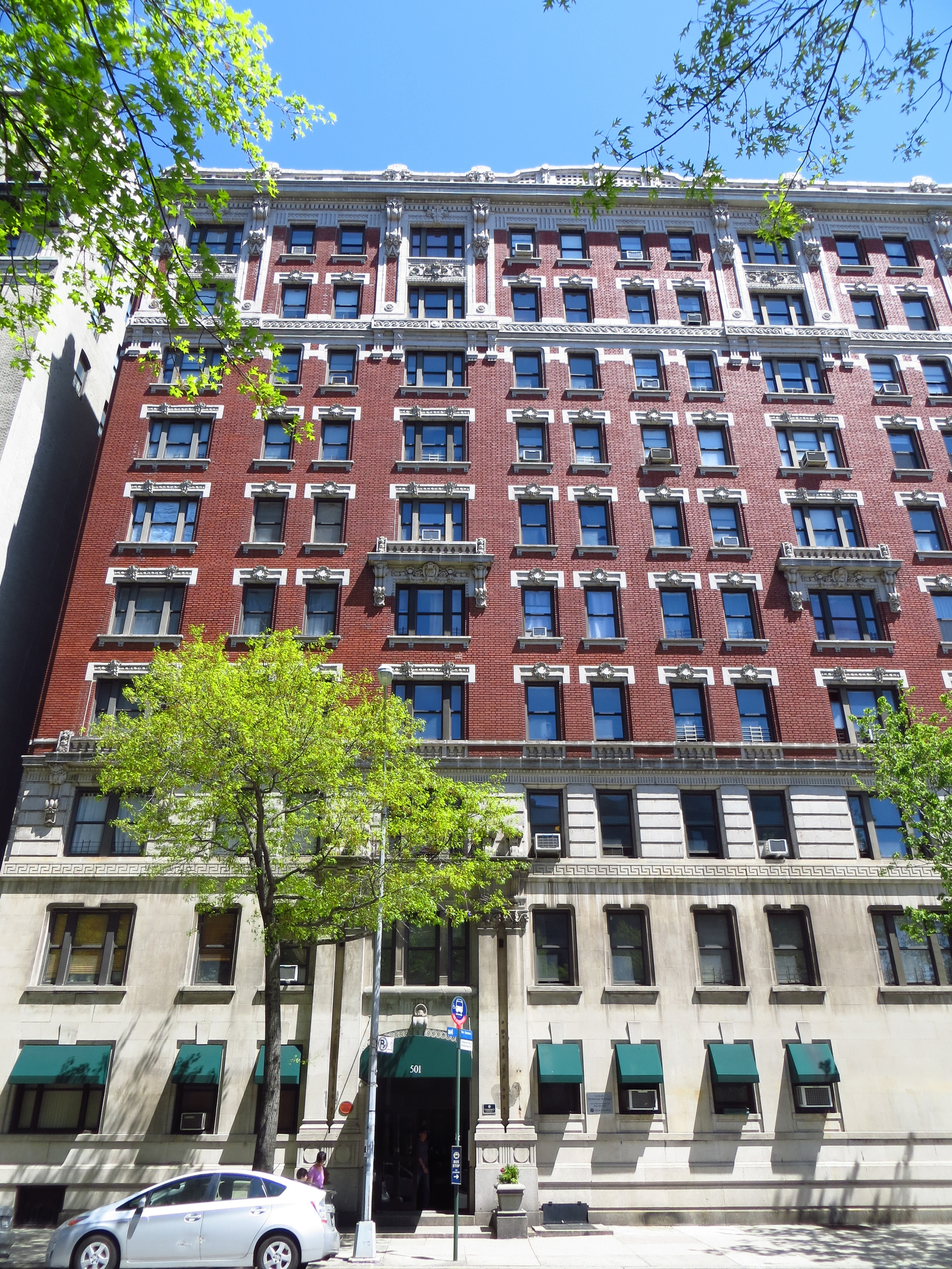
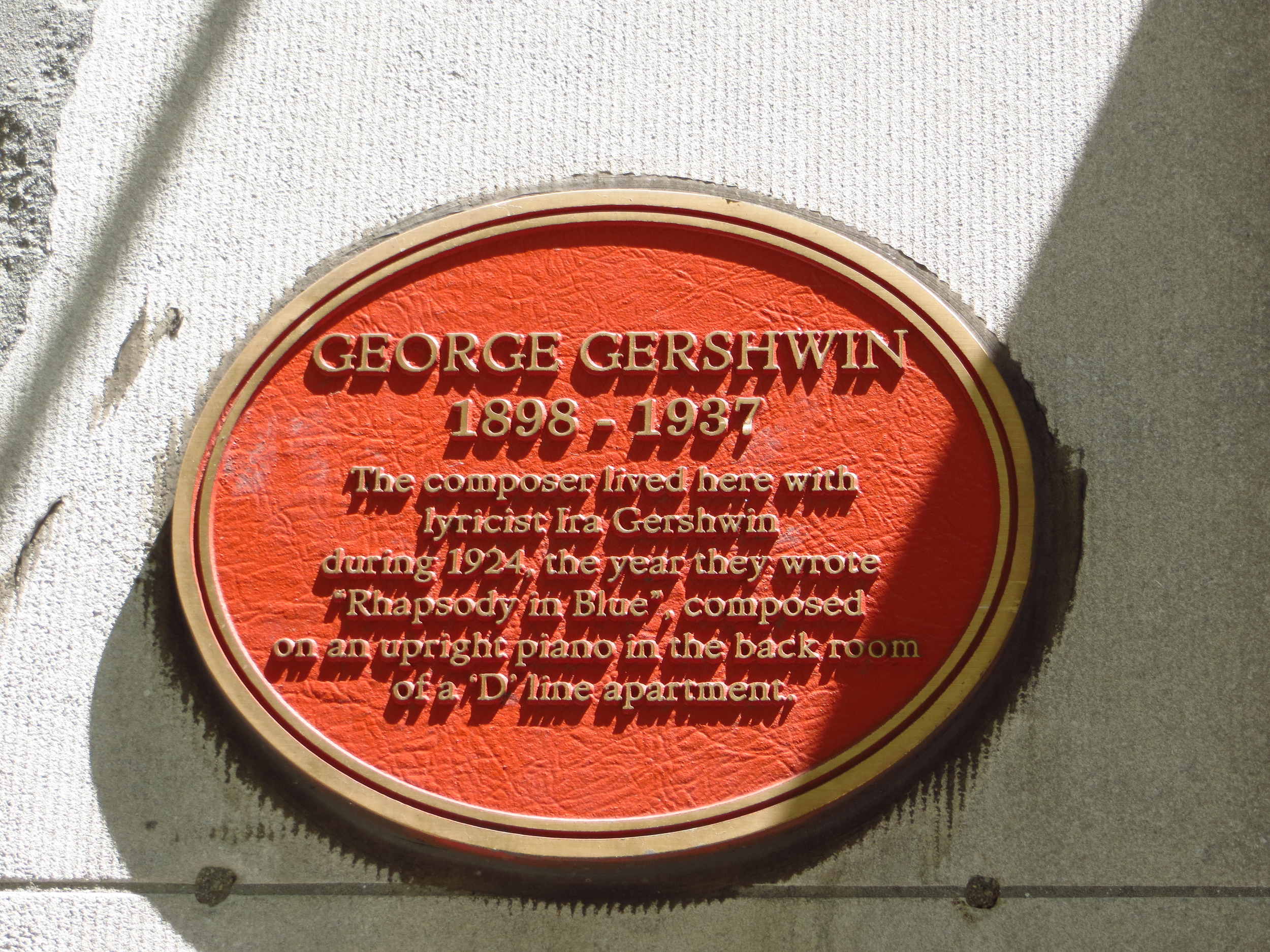
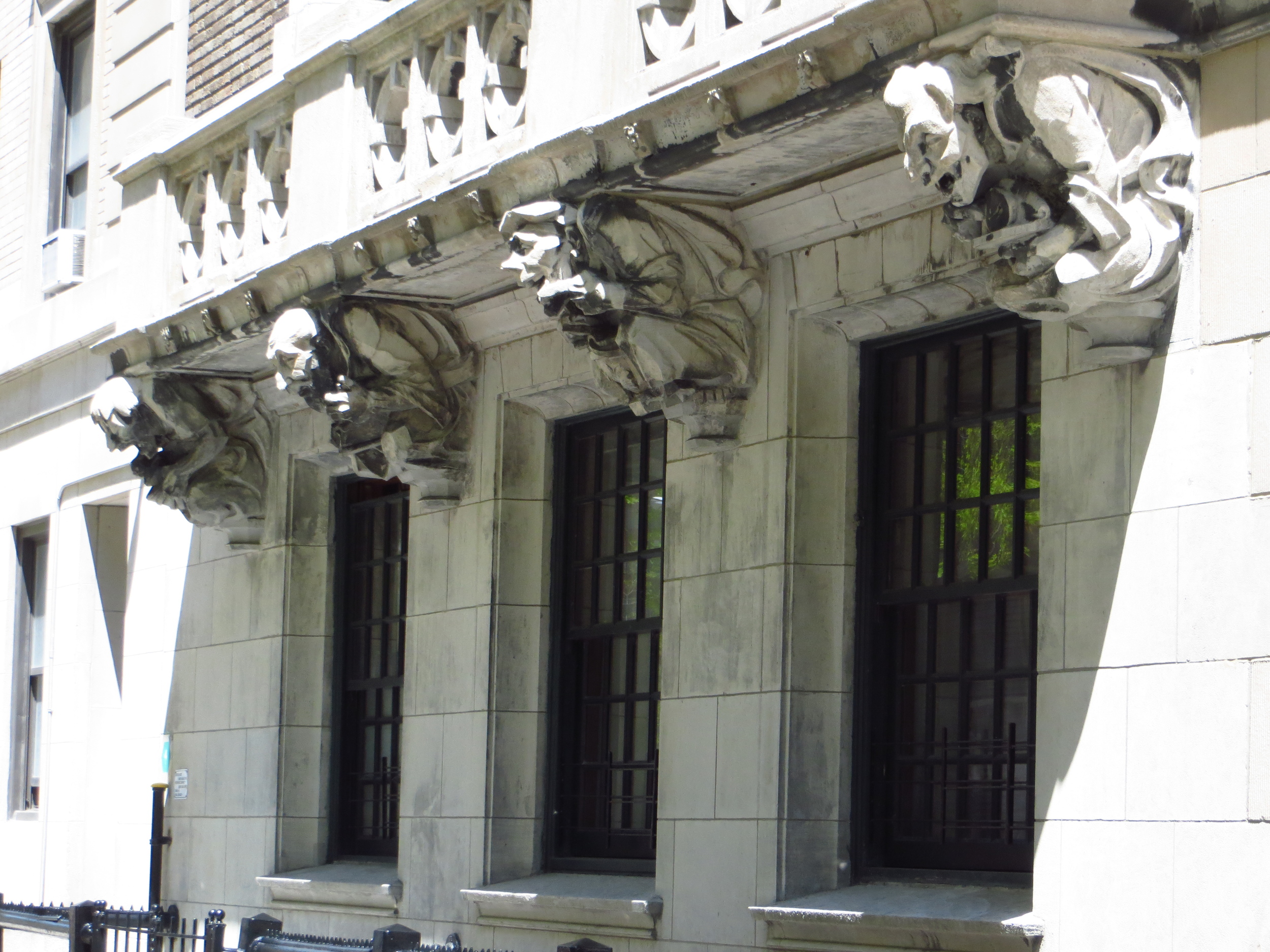
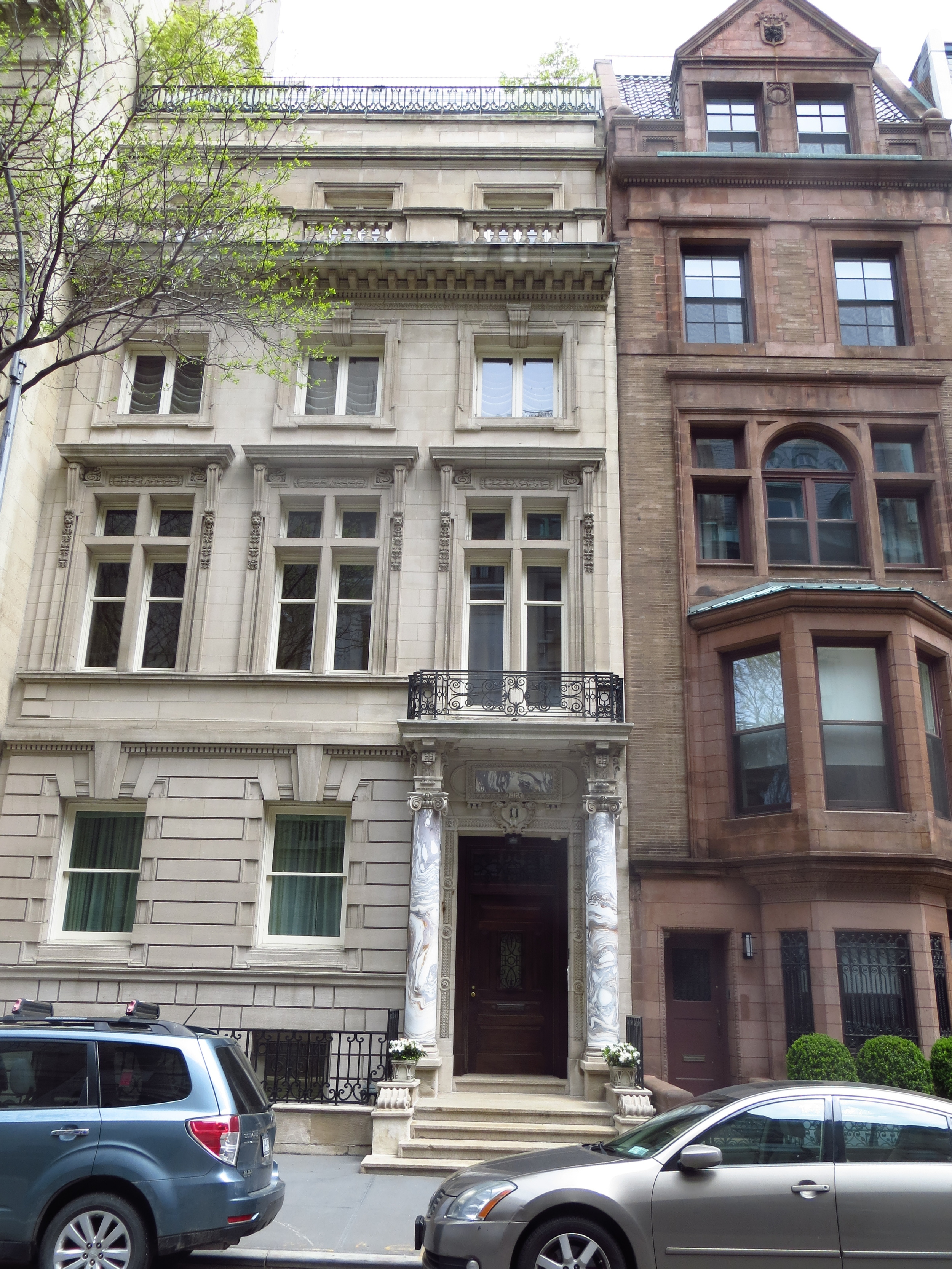
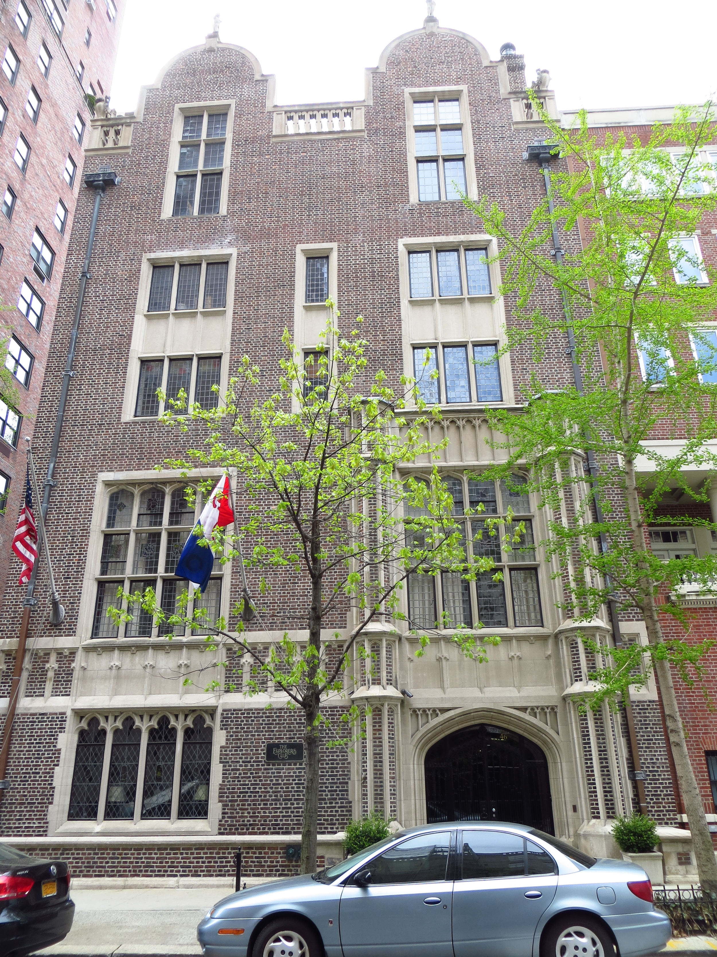
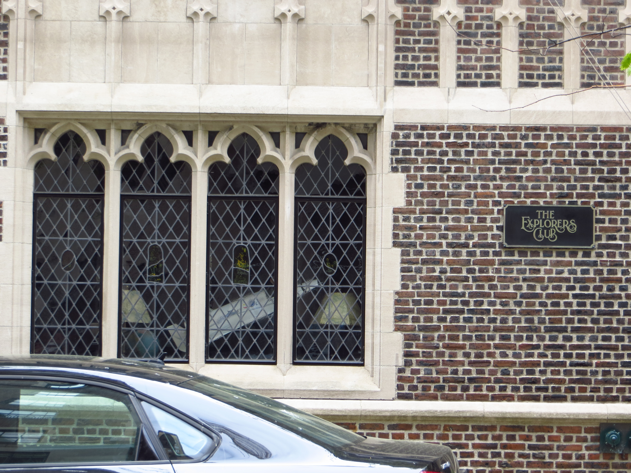
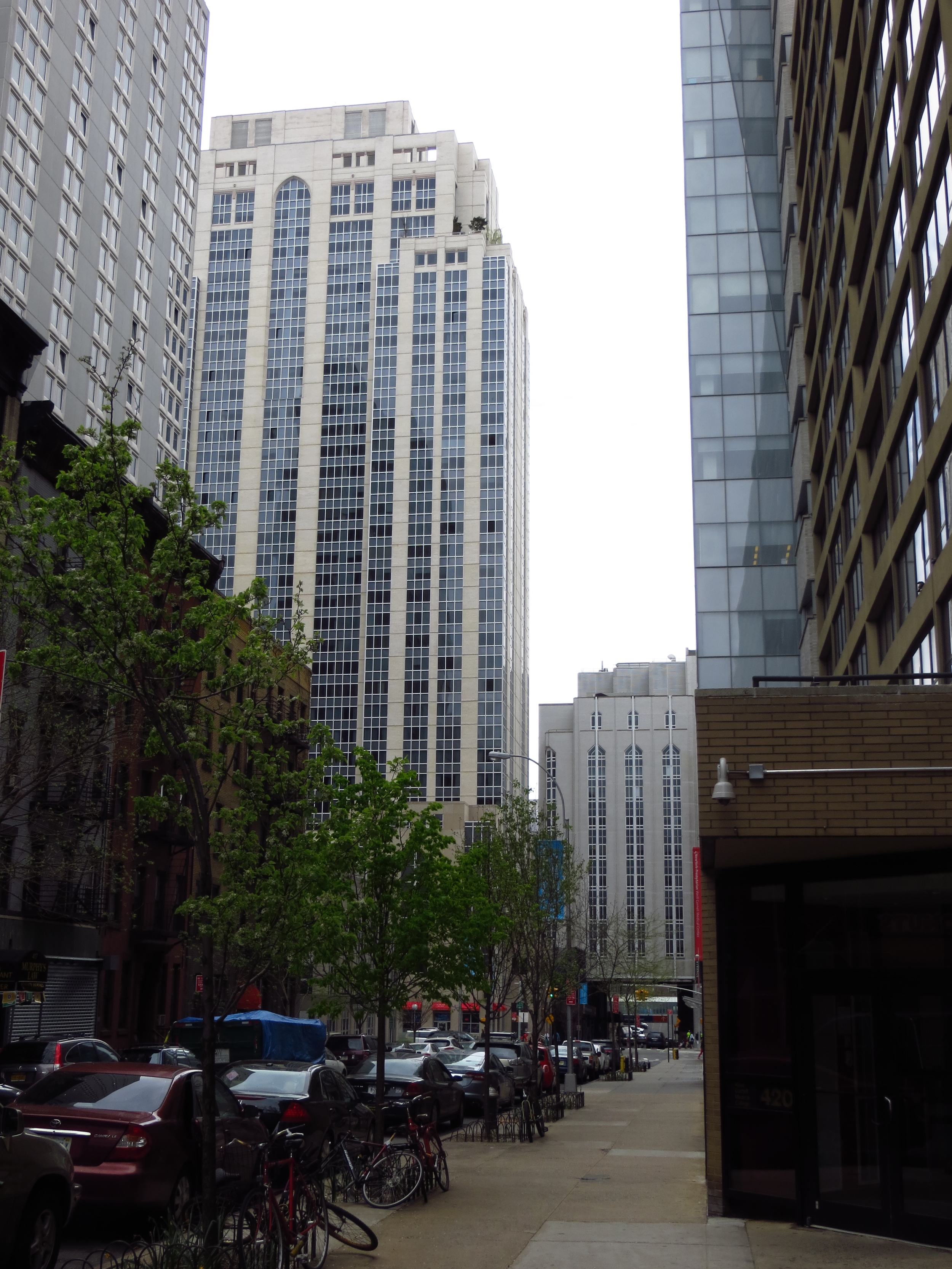
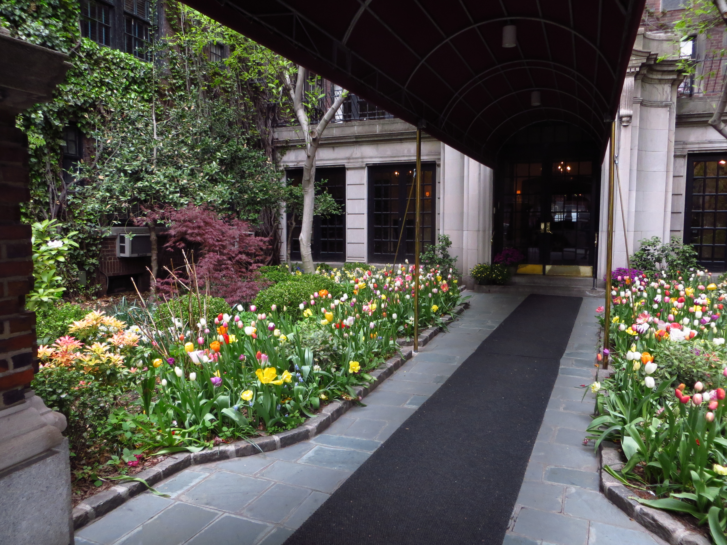
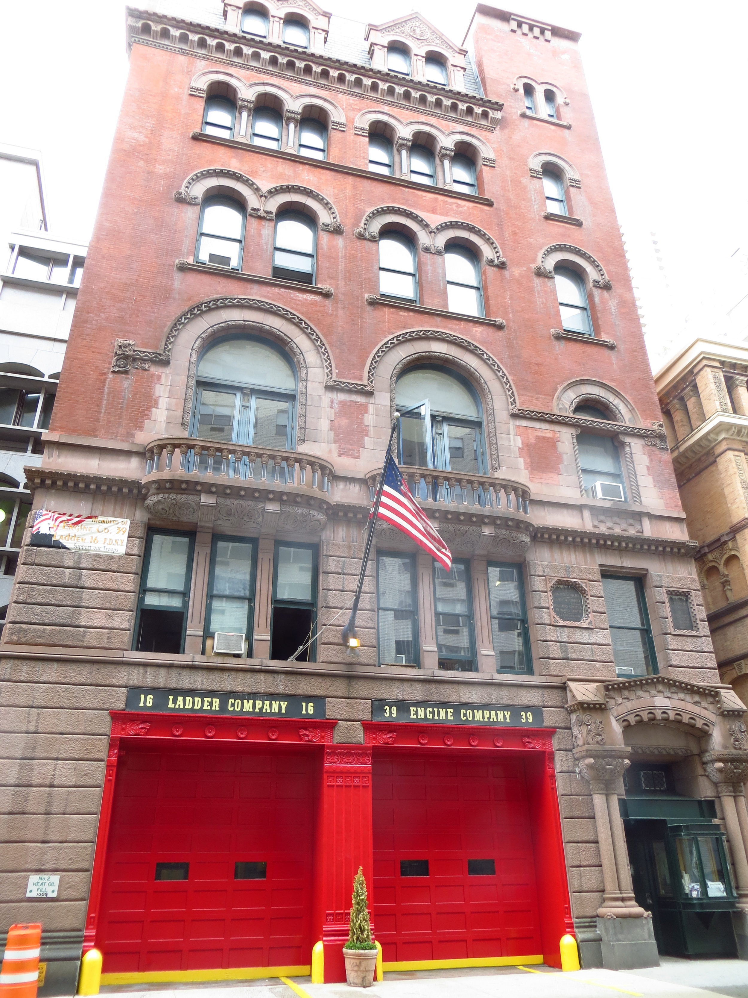
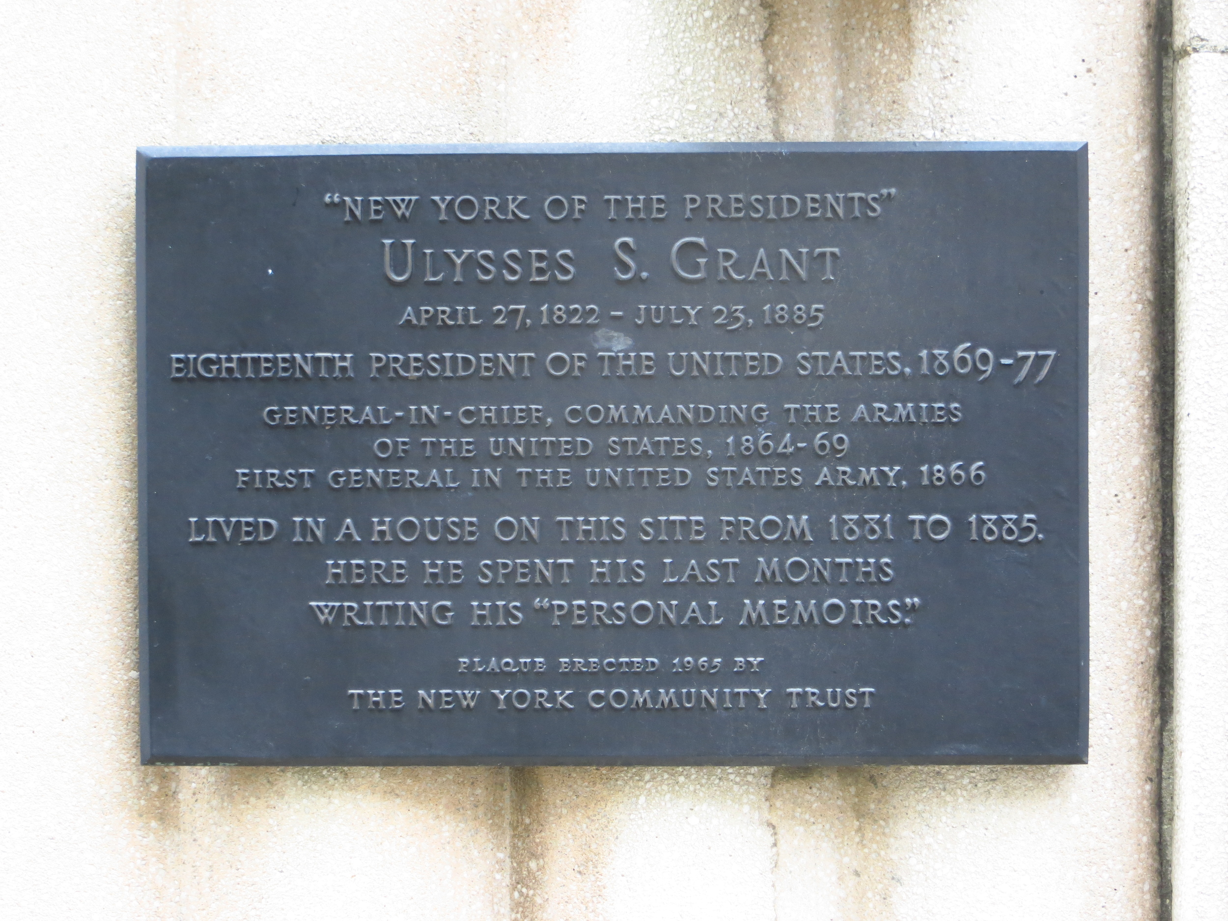
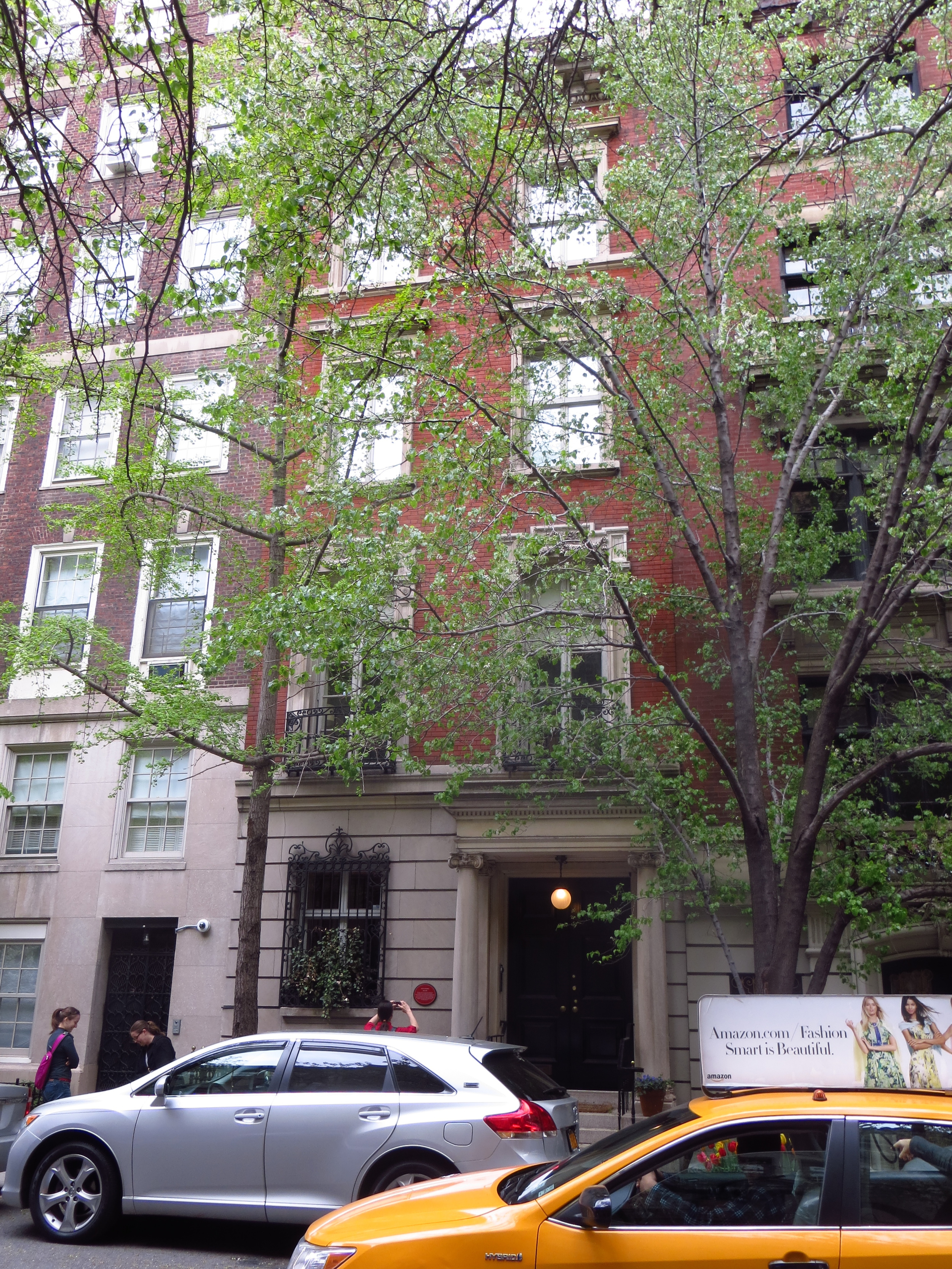
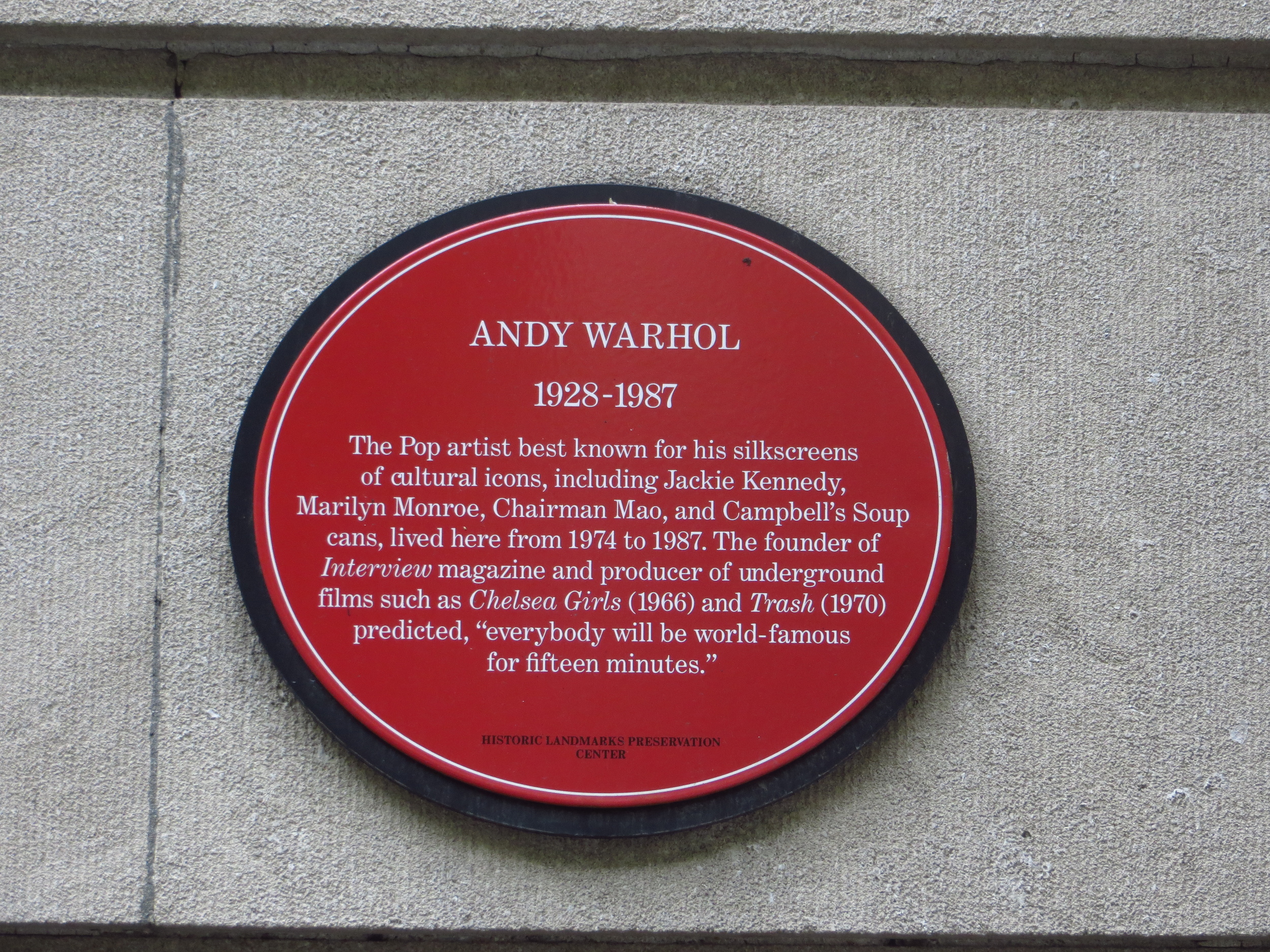
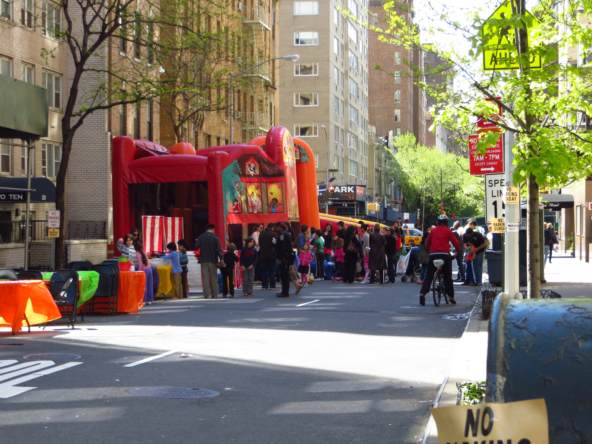
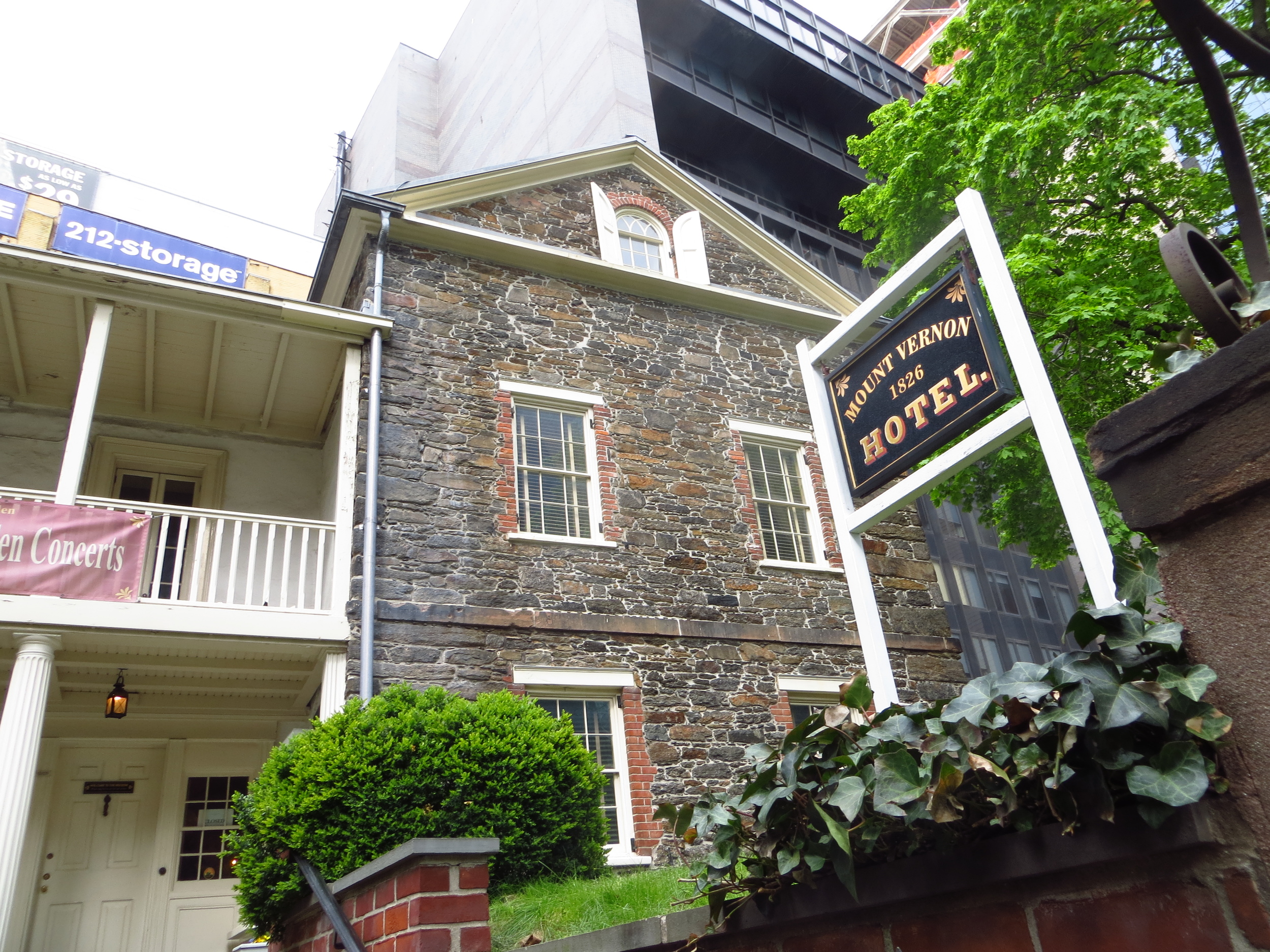
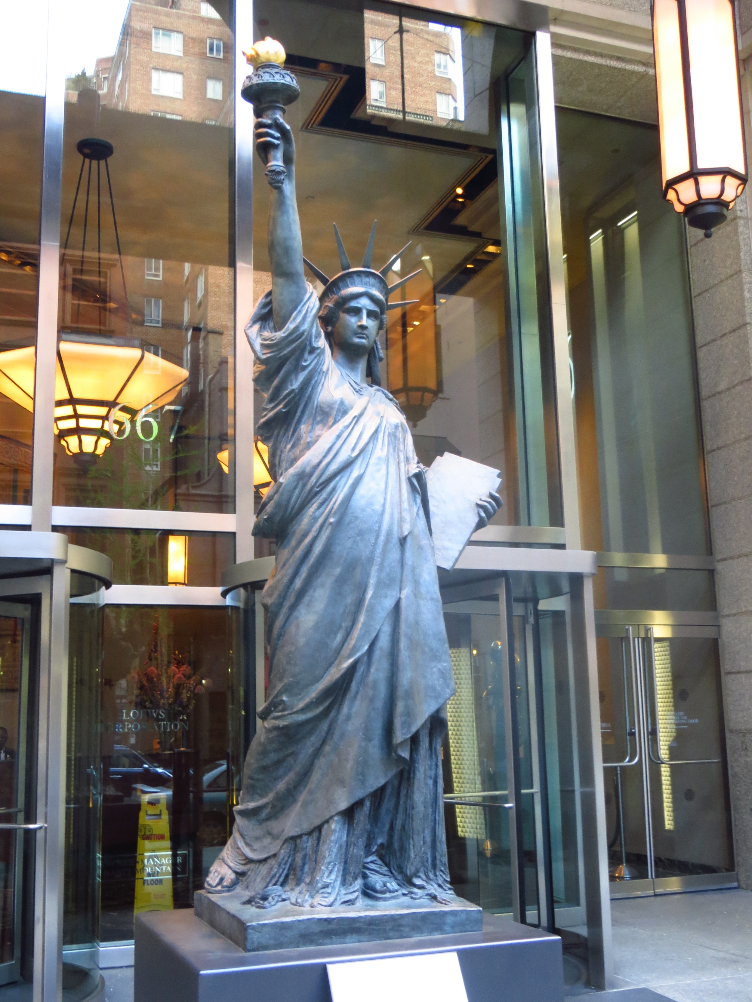
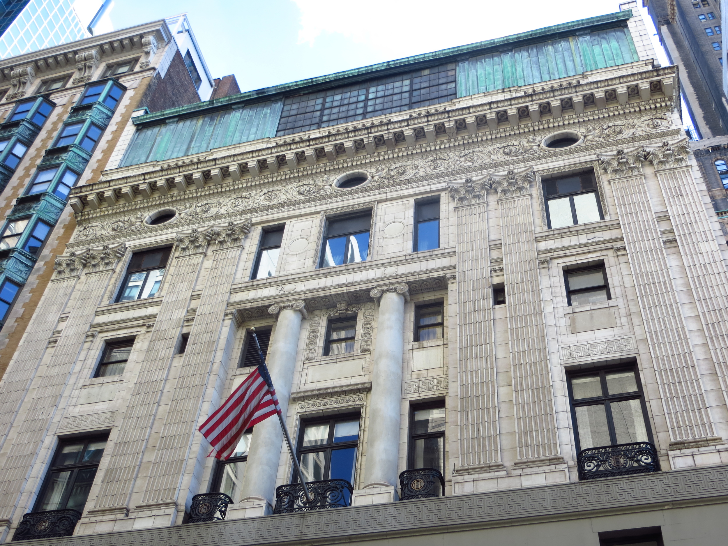
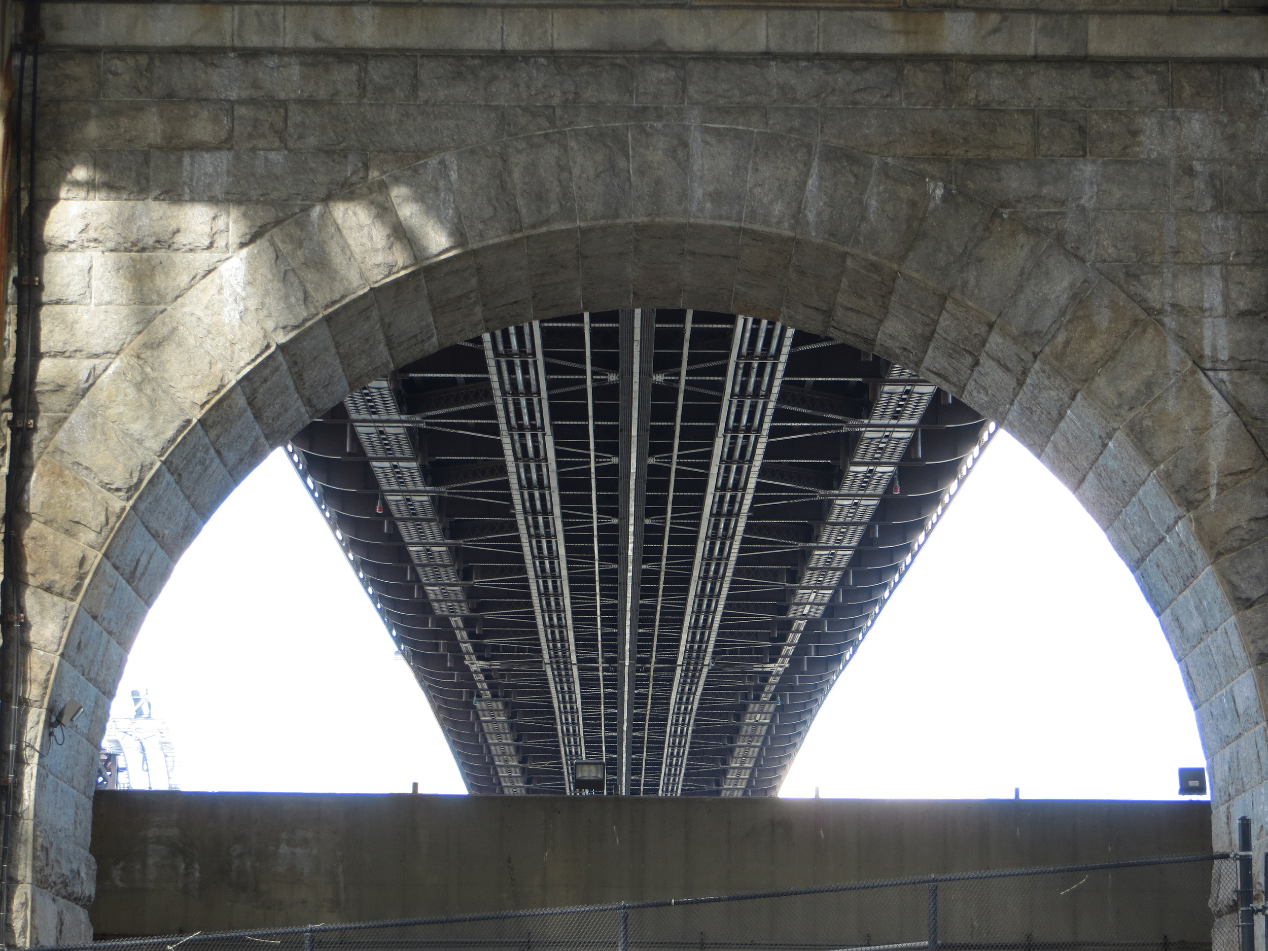
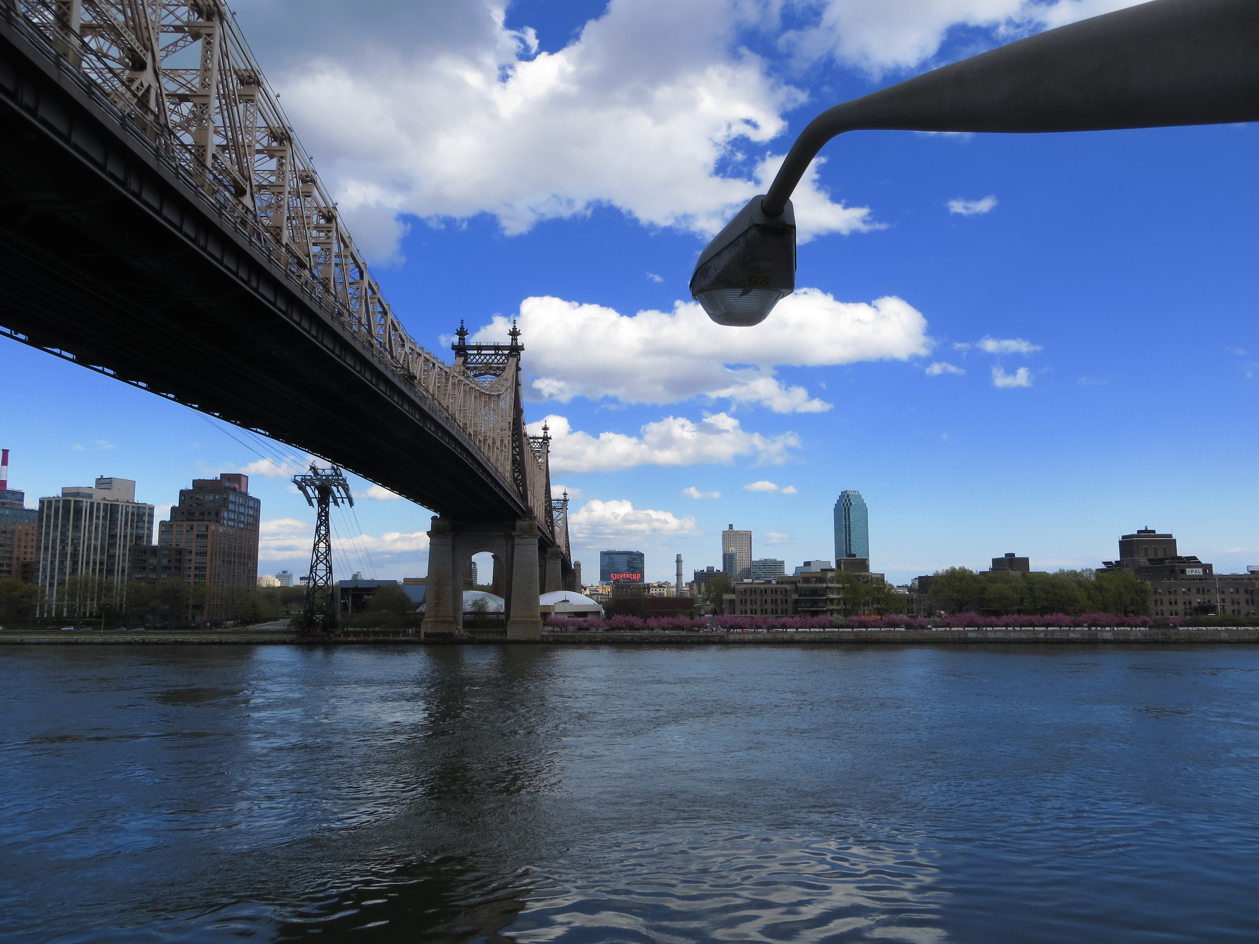
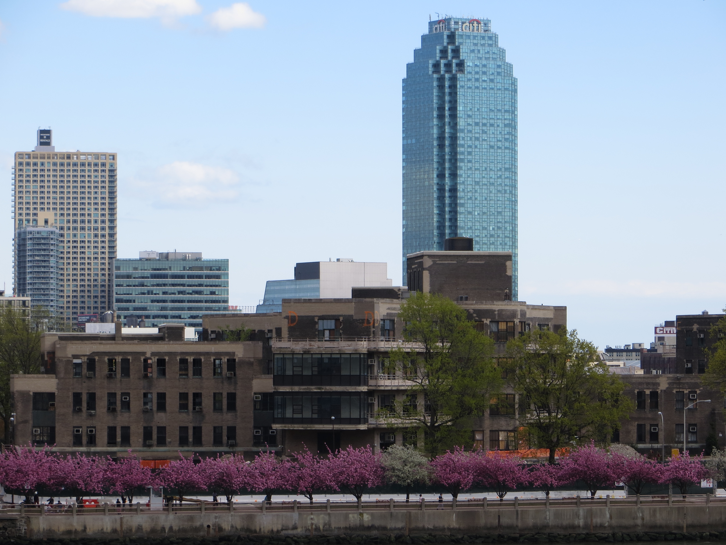
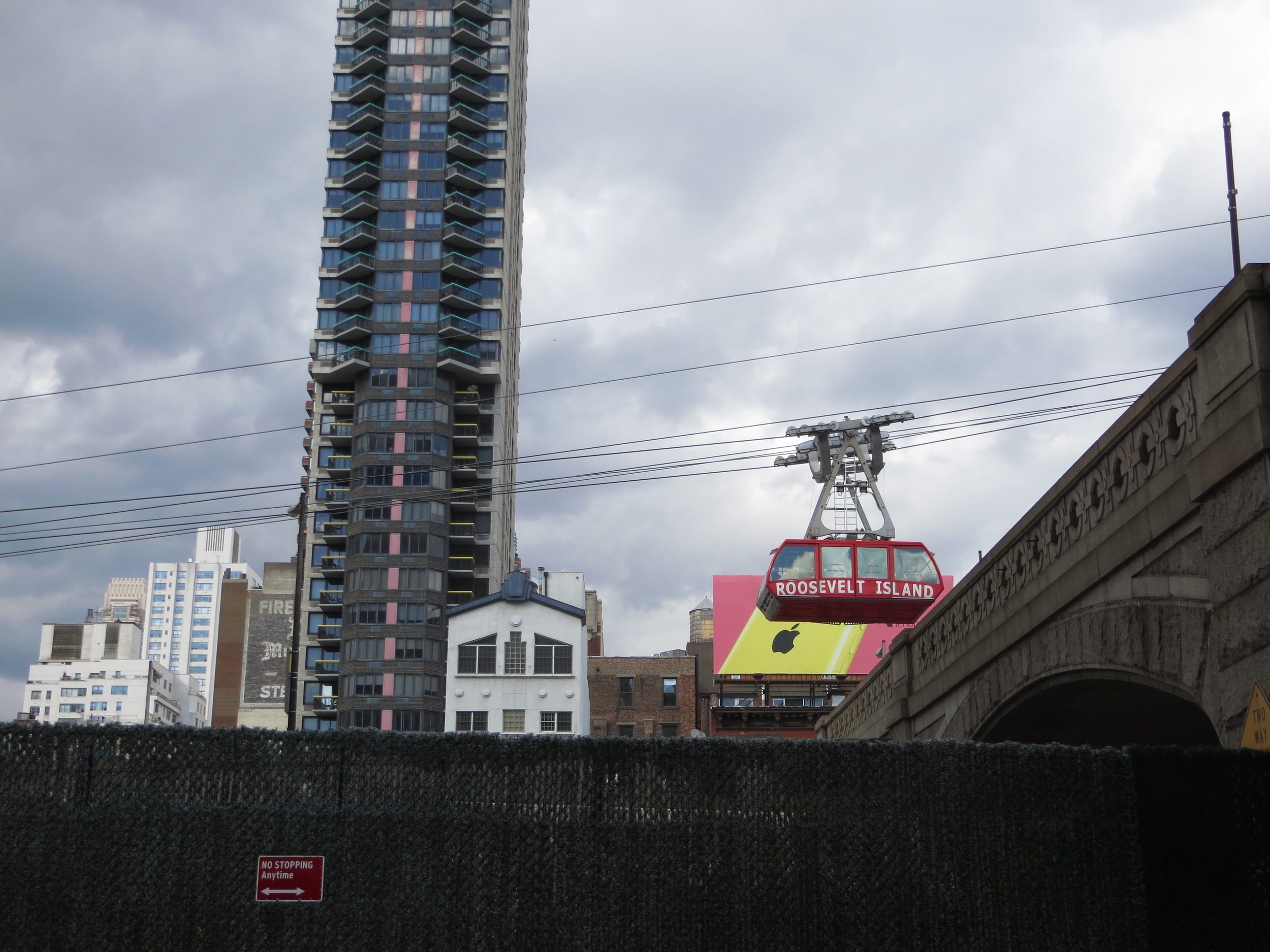
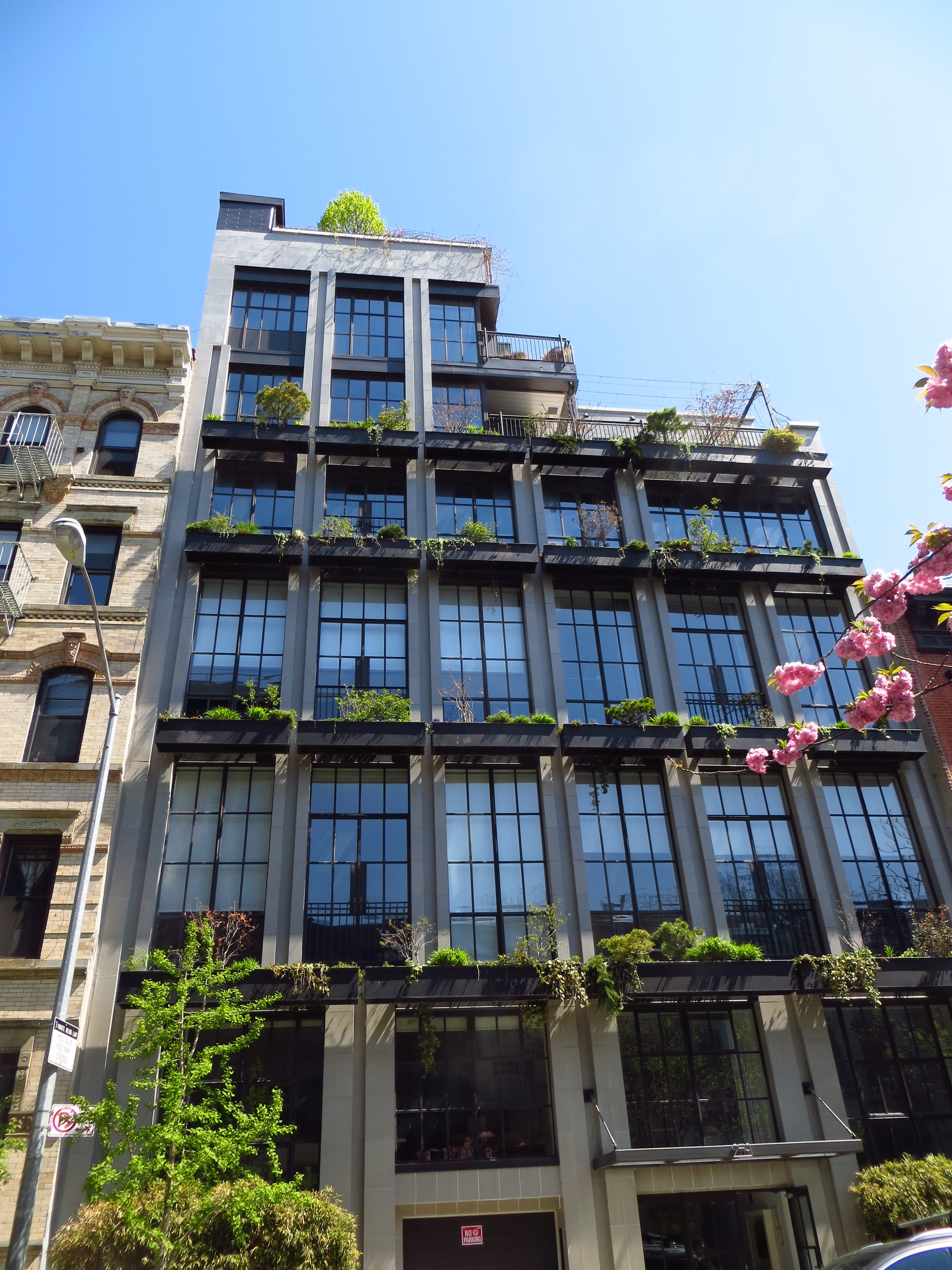
Back uptown again, for this walk I did the lower third of the Upper East Side ("UES"), from E 72nd St. to E 59th St; in total about 13 miles.

Today's walk
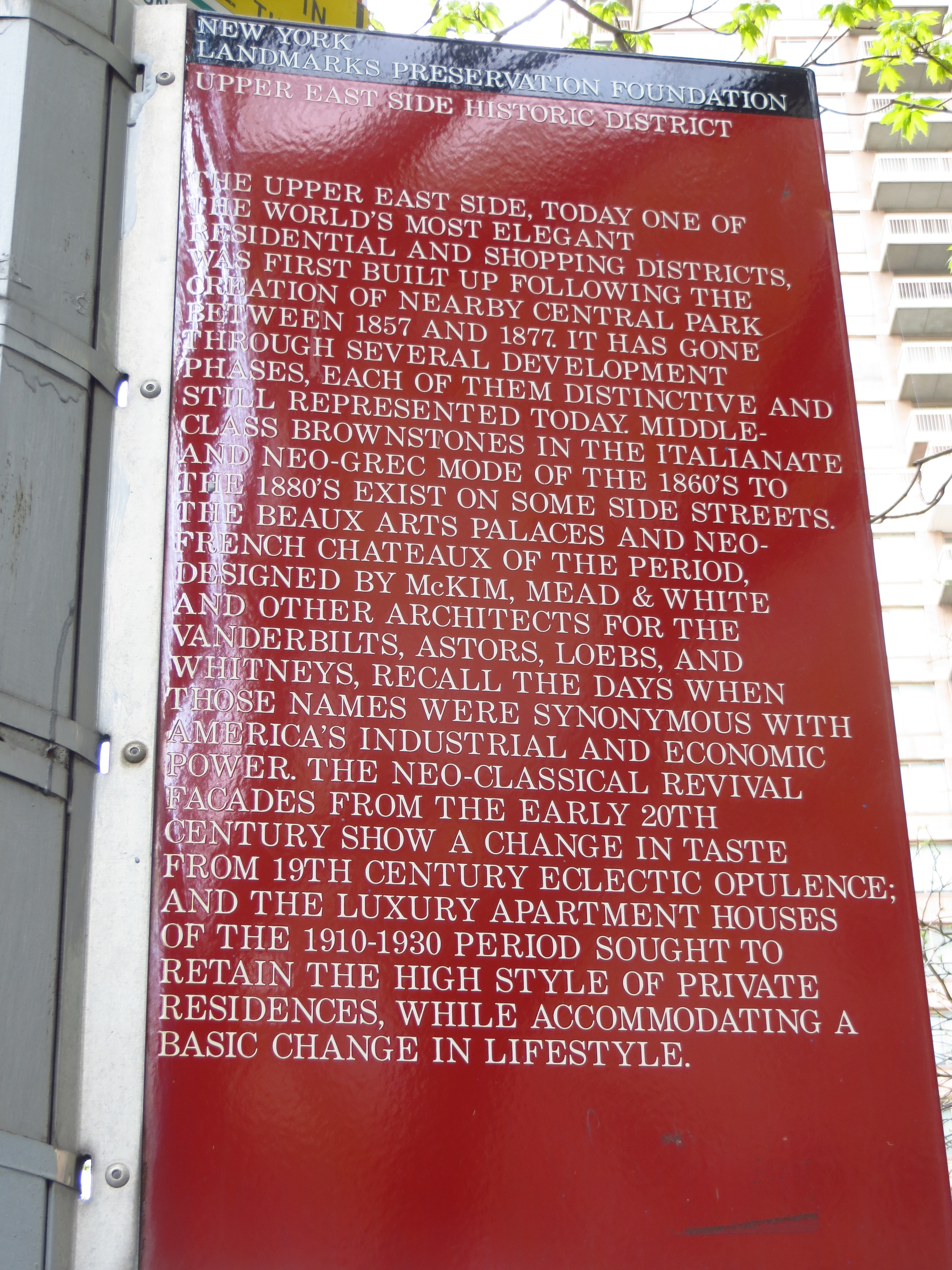
The UES is the eastern analog to the Upper West Side ("UWS") and is bounded by 59th St. to the south, 96th St. (approximately) to the north, Central Park to the west and the East River to the (you guessed it) east. It is home to the Metropolitan Museum of Art, the Guggenheim Museum, and 740 Park Avenue (said to have the highest concentration of billionaires in the world).
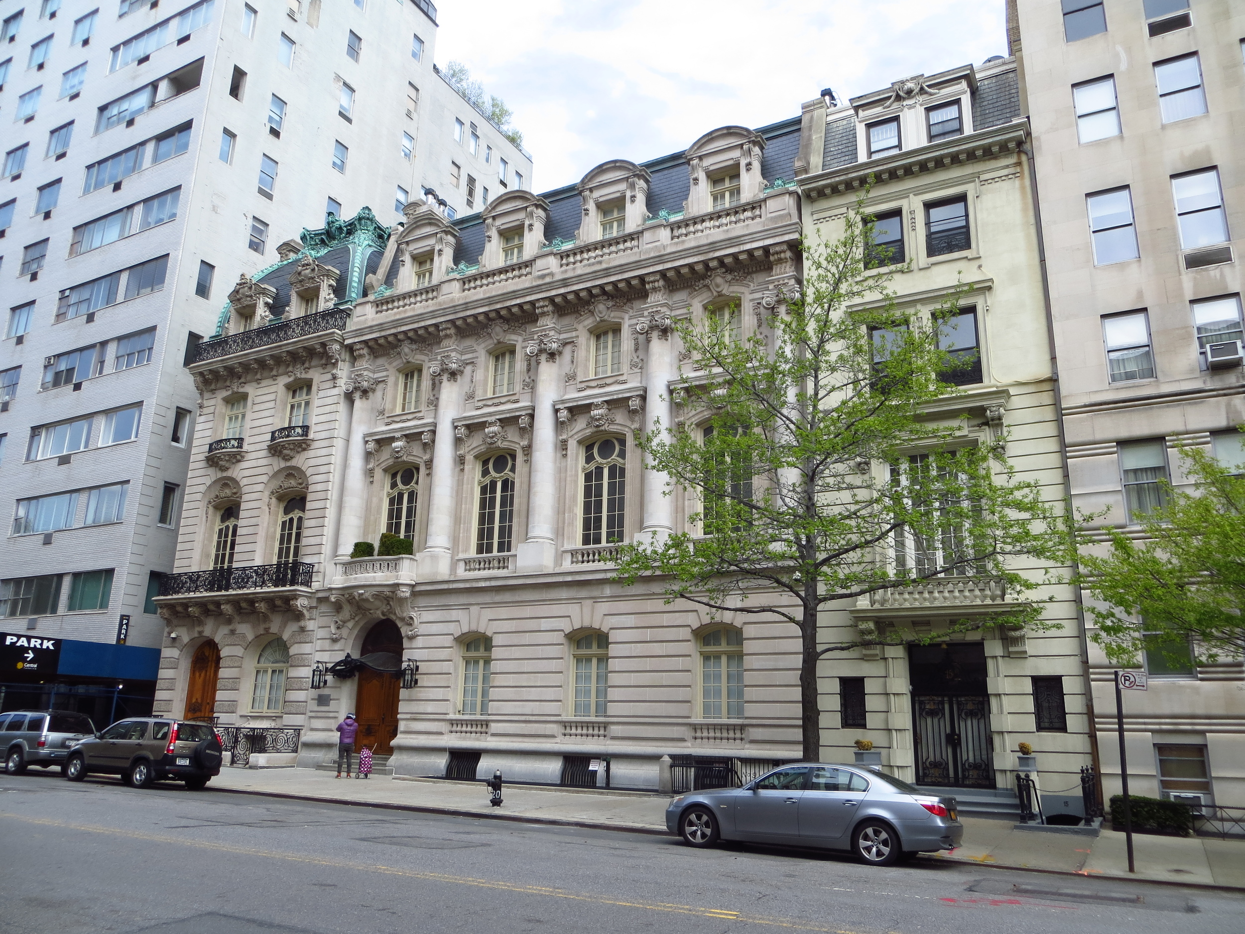
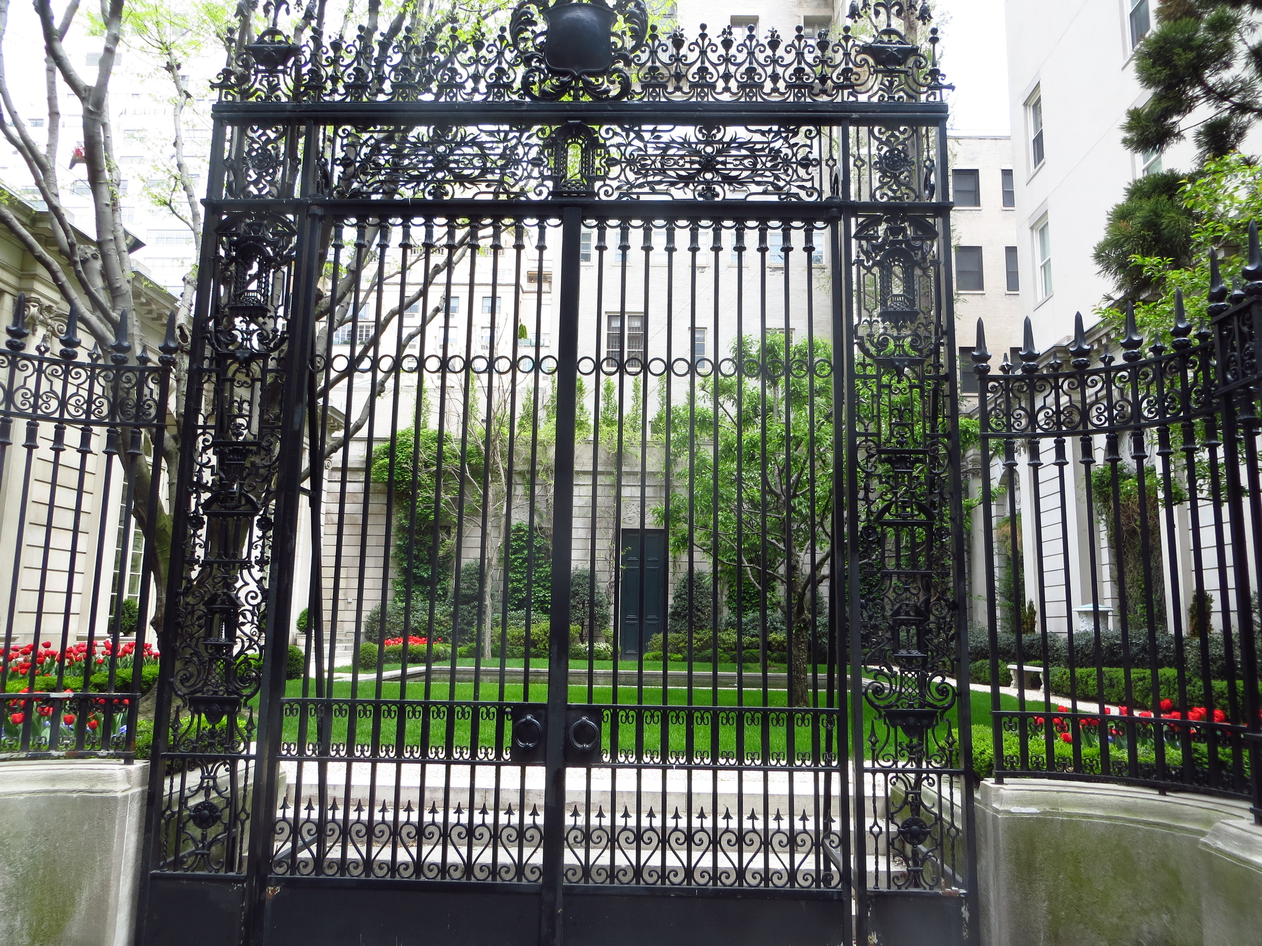
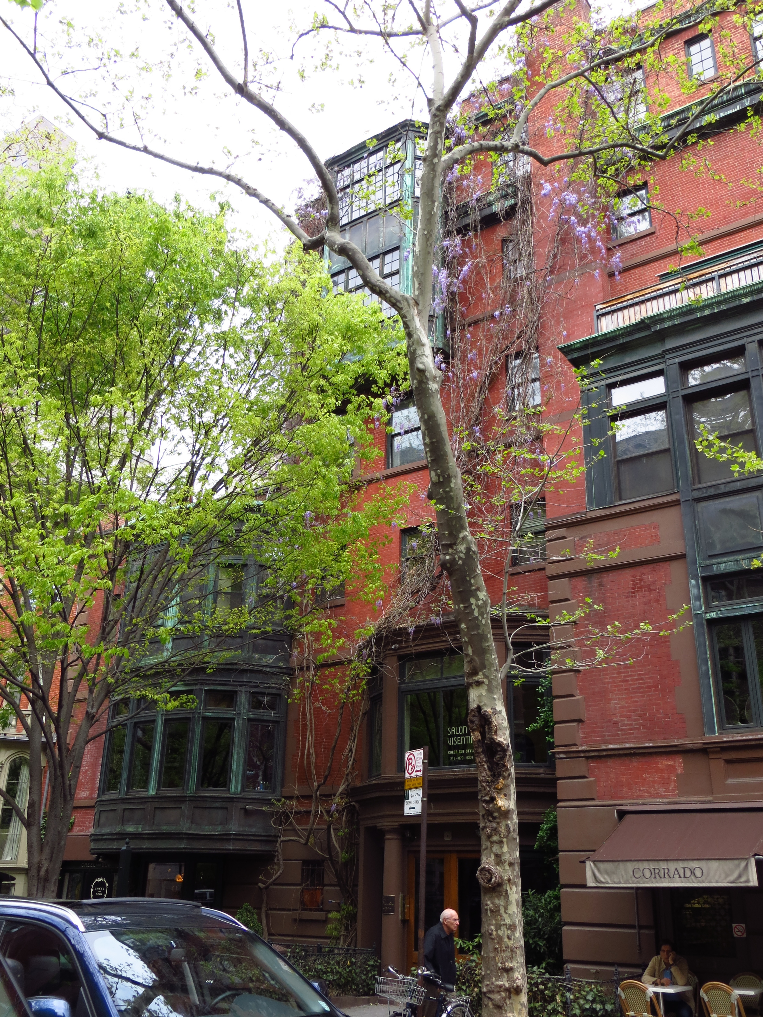
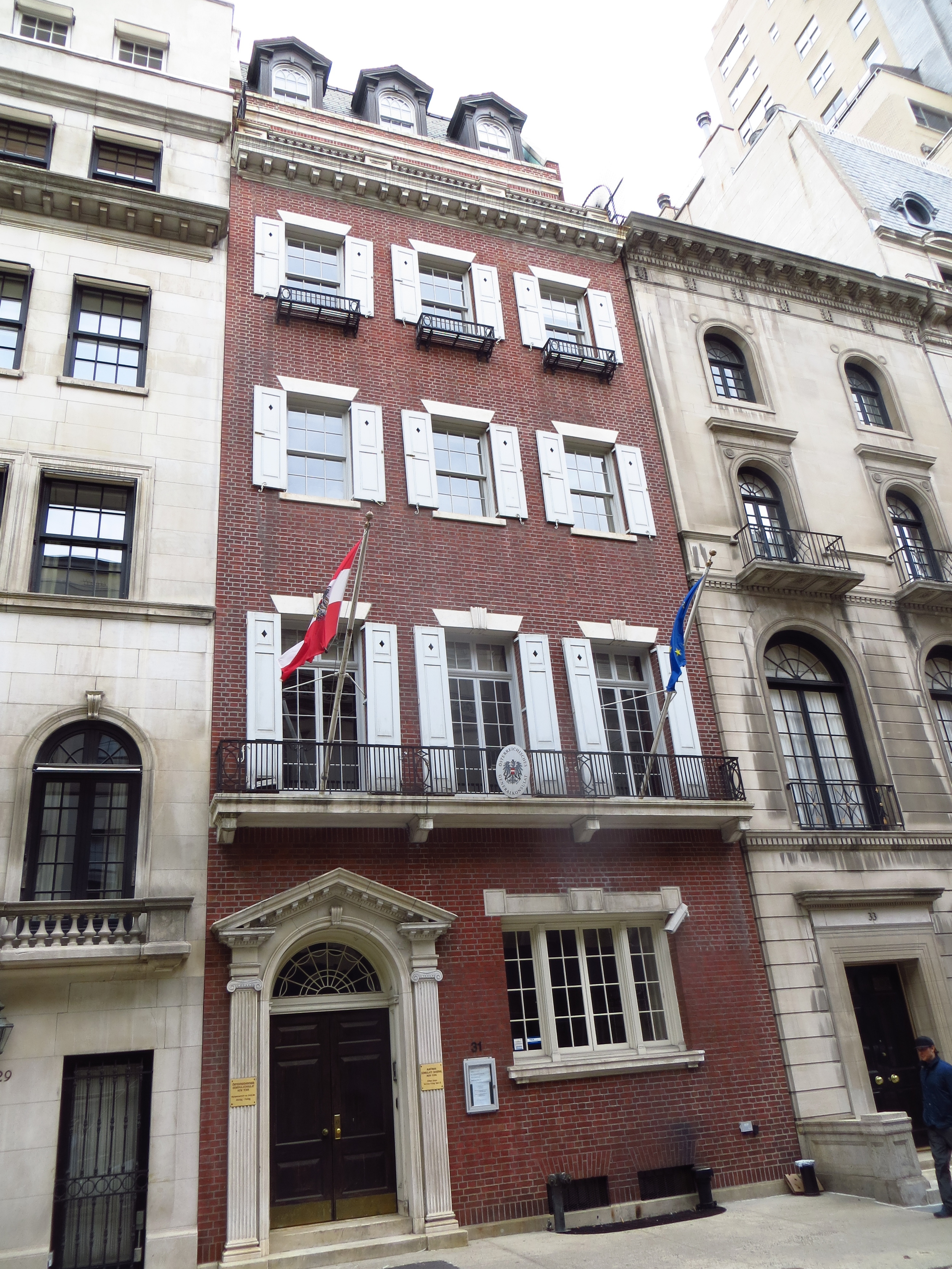
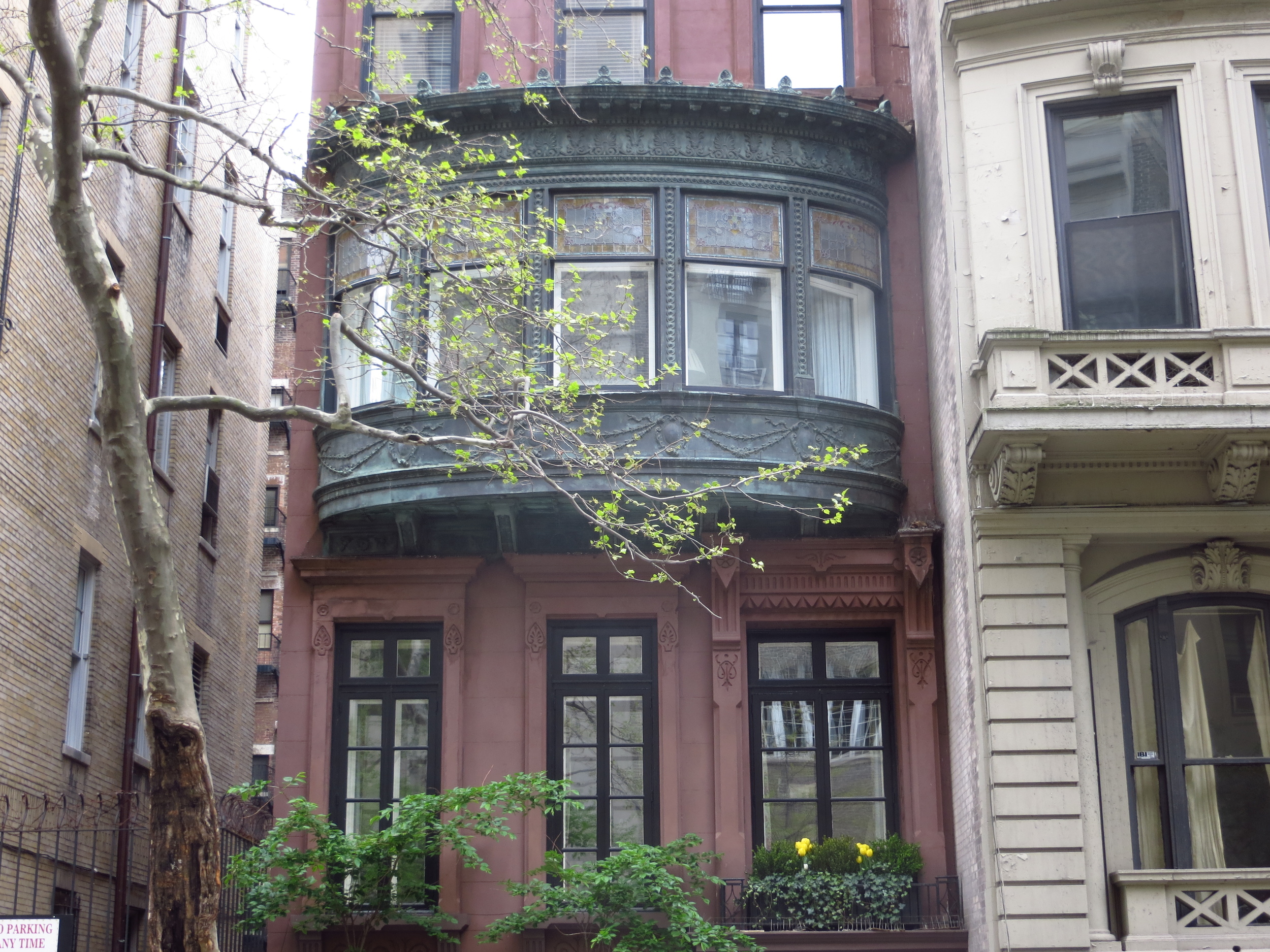
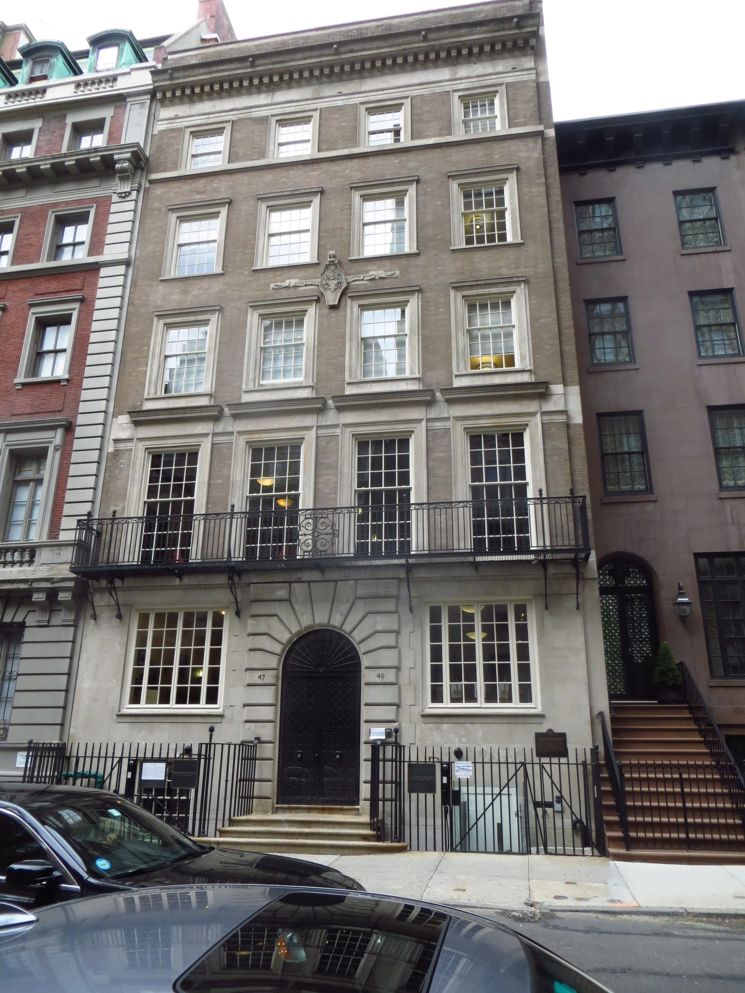
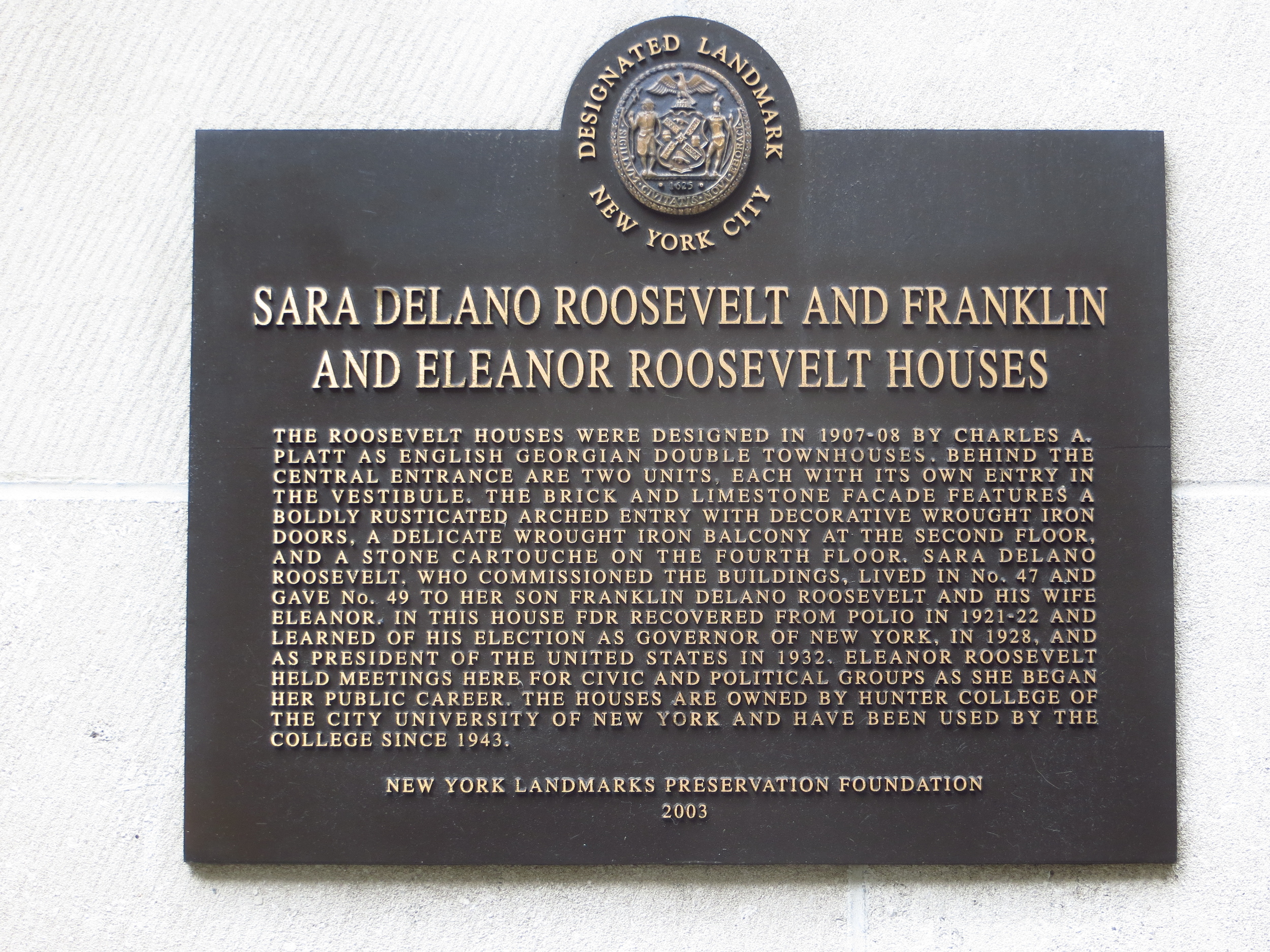
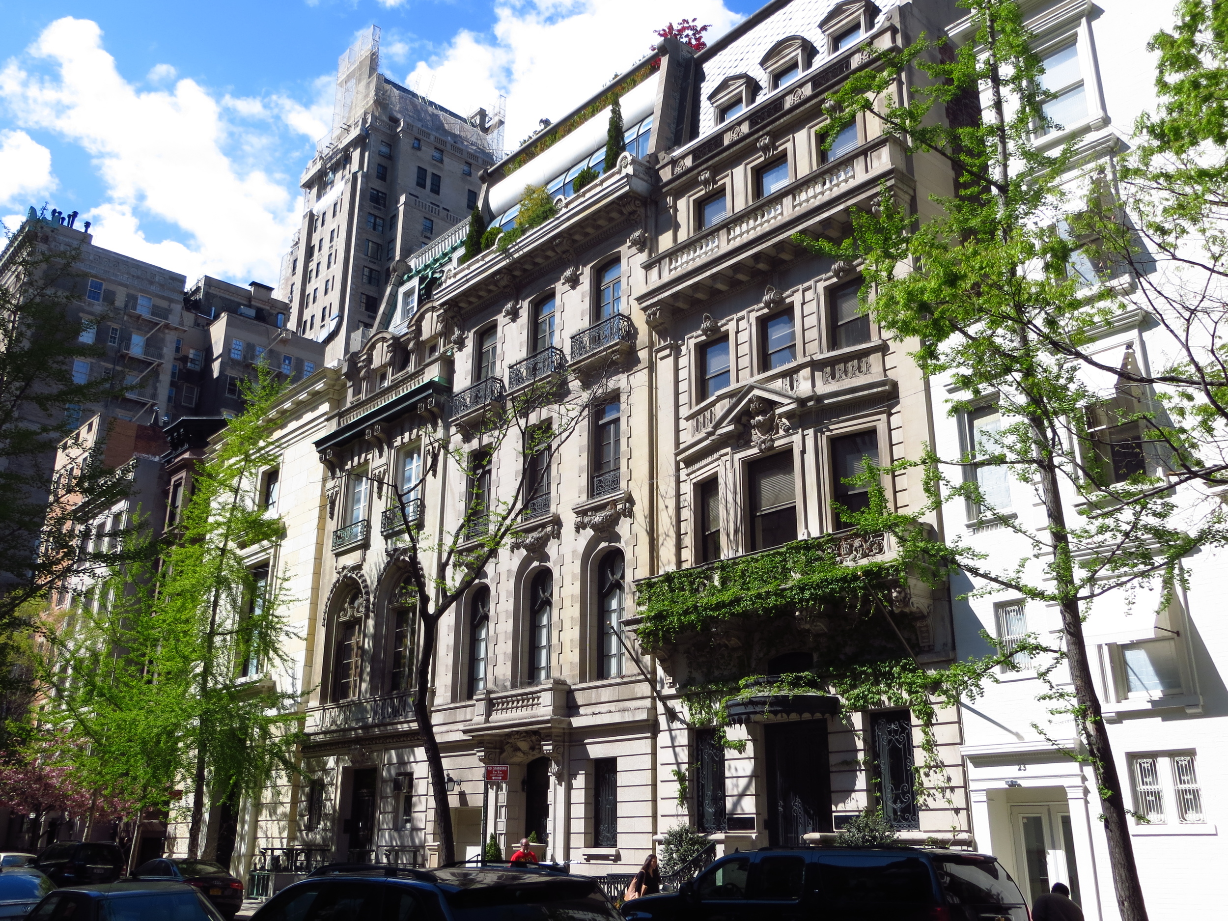
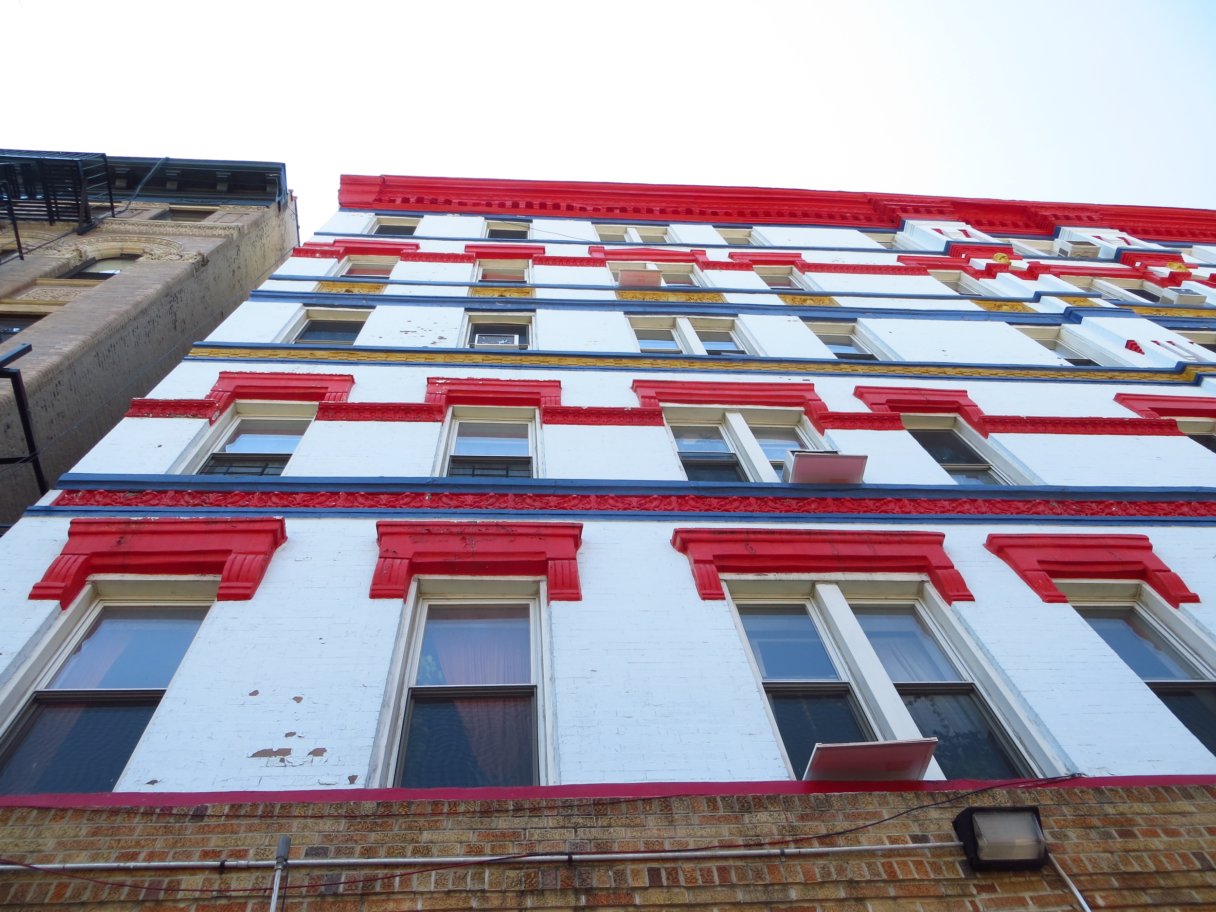
The UES was most notably home to the Gilded Age mansions of the super-rich, including the Rockefellers, Carnegies, Fricks, Roosevelts, etc. along 5th Avenue. Many of those mansions were demolished to make way for luxury apartment buildings in the 1920s, but some escaped the wrecking ball and are still around today (such as the Frick mansion between 71st and 70th, now an art museum).
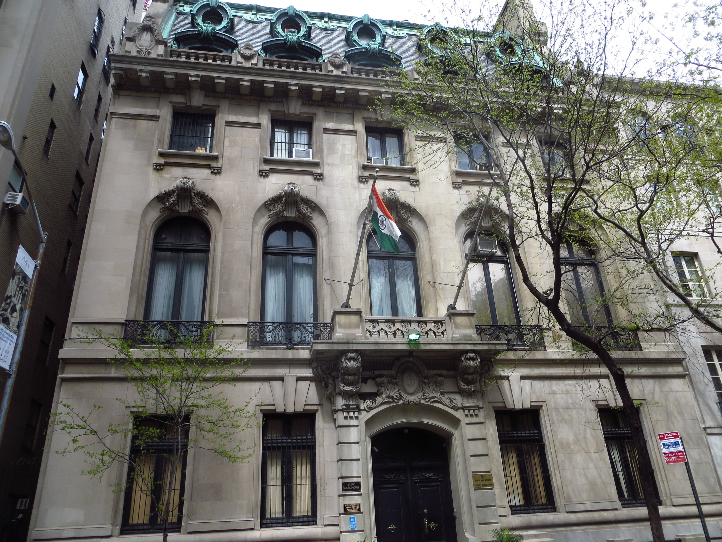
That isn't to say that the UES is all but devoid of mansions, there are still a ton of them, they're just a little smaller and spread out along the streets between 5th Ave. and Park Ave. (as opposed to facing the park along 5th Ave.). Many today are owned by foreign nations and used as consulates/diplomatic missions to the UN (about two miles south).
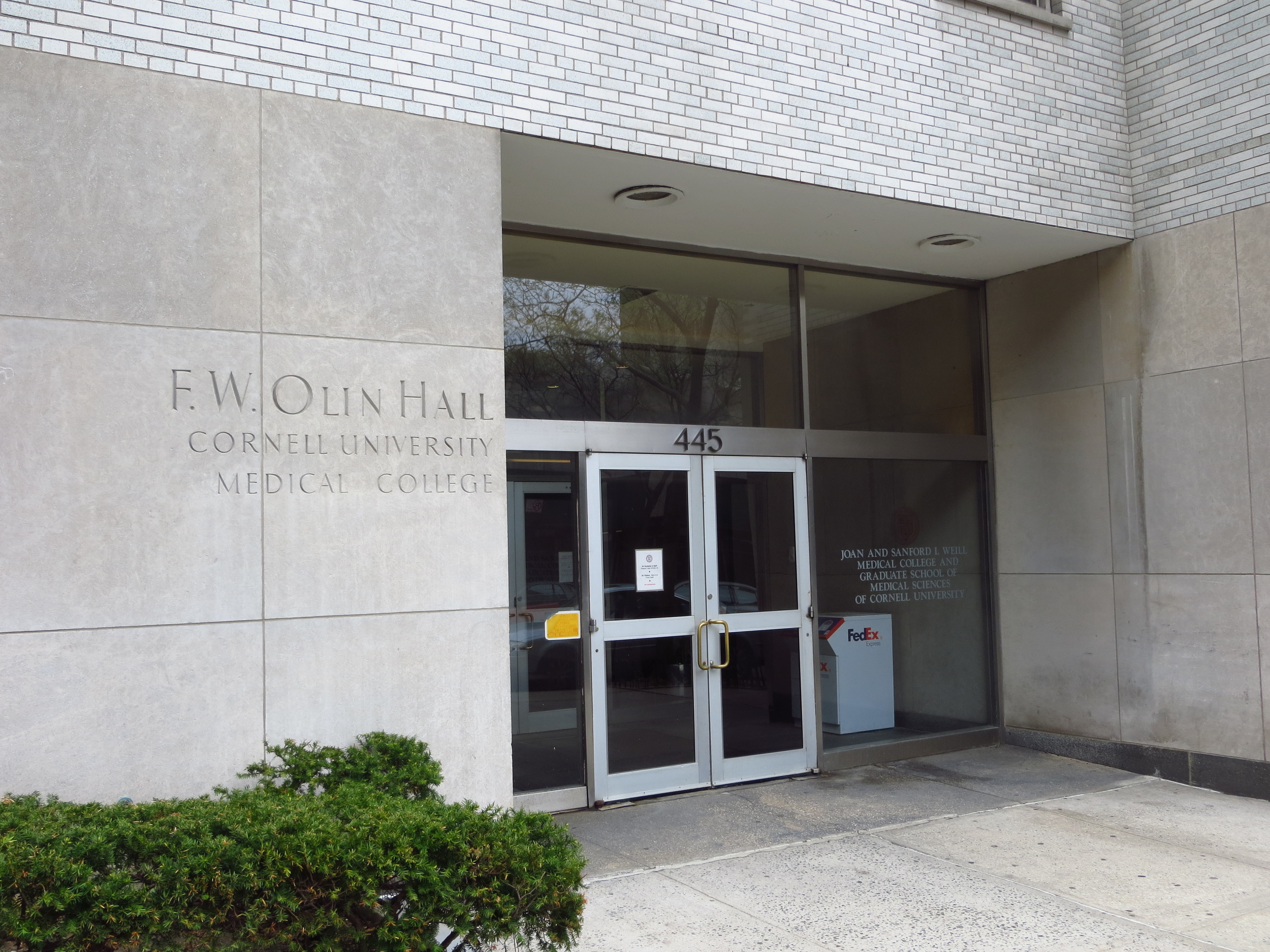
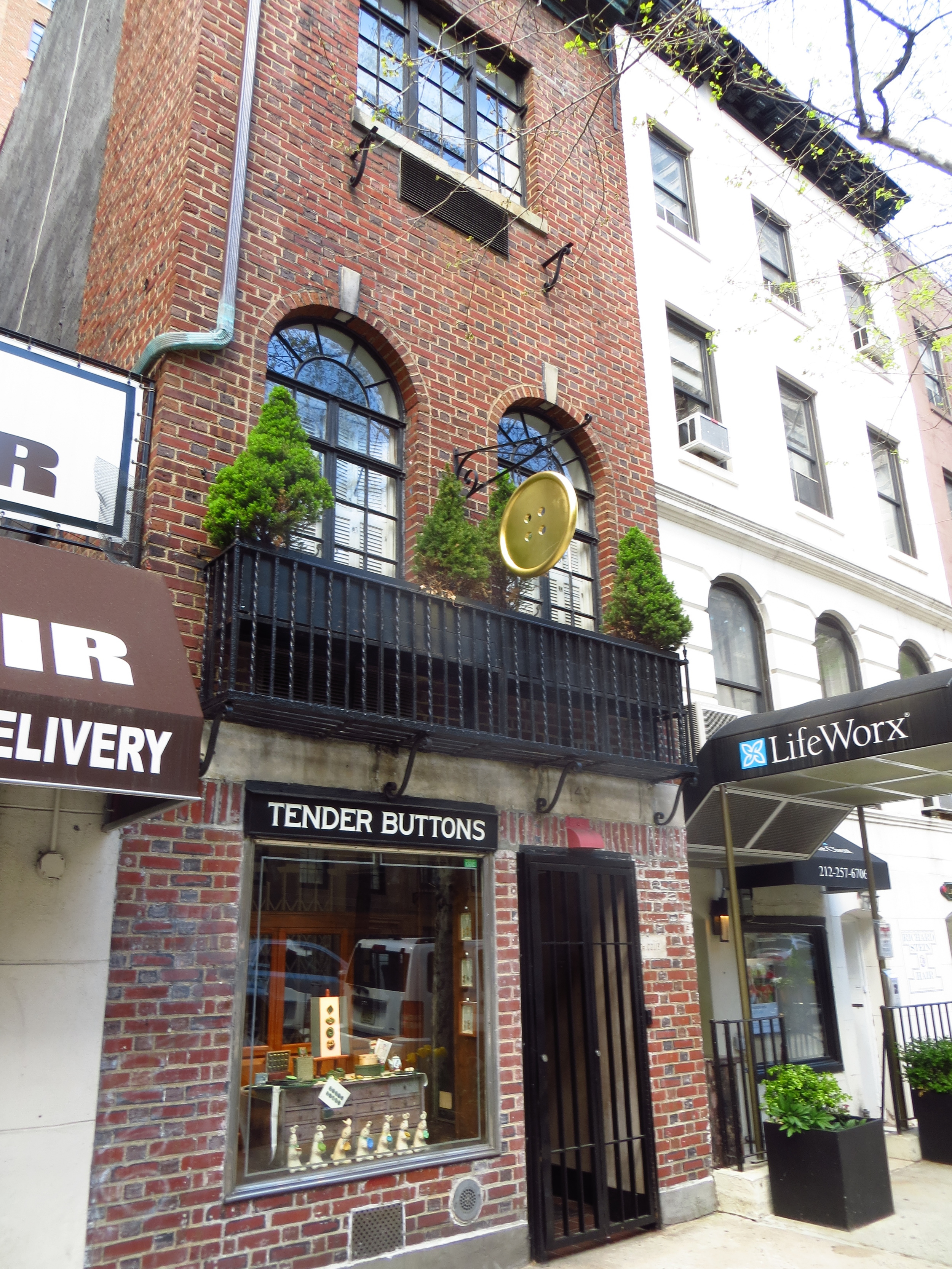
Anyway, the breakdown of the neighborhood basically goes like this: streets between 5th Ave and Park Ave. = super rich people, streets between Park Ave and 1st Ave. = just regular rich people, east of 1st. Ave = hospitals.
The walk ended at 59th St., which corresponds with the end of Central Park and the beginning of Midtown
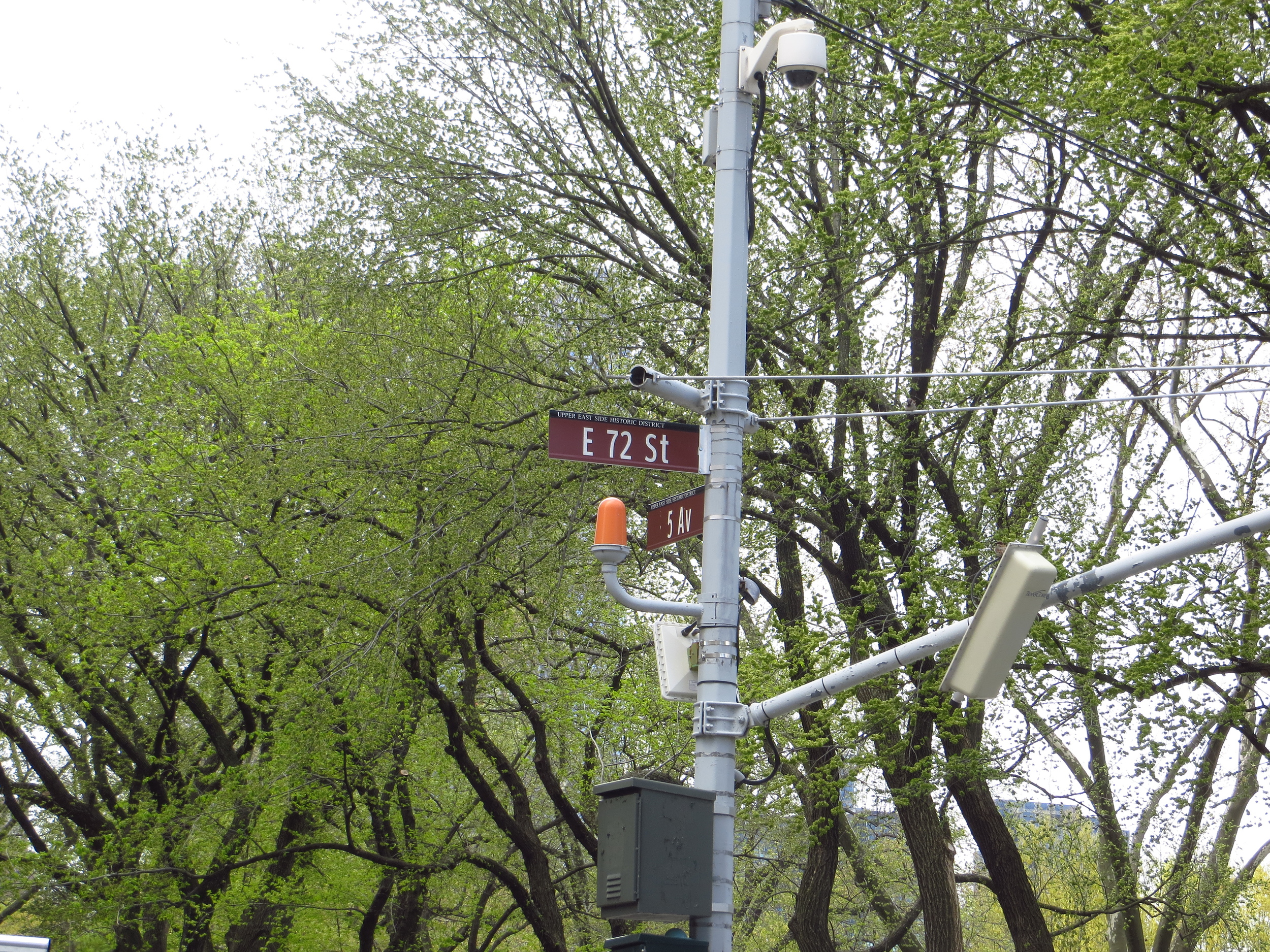
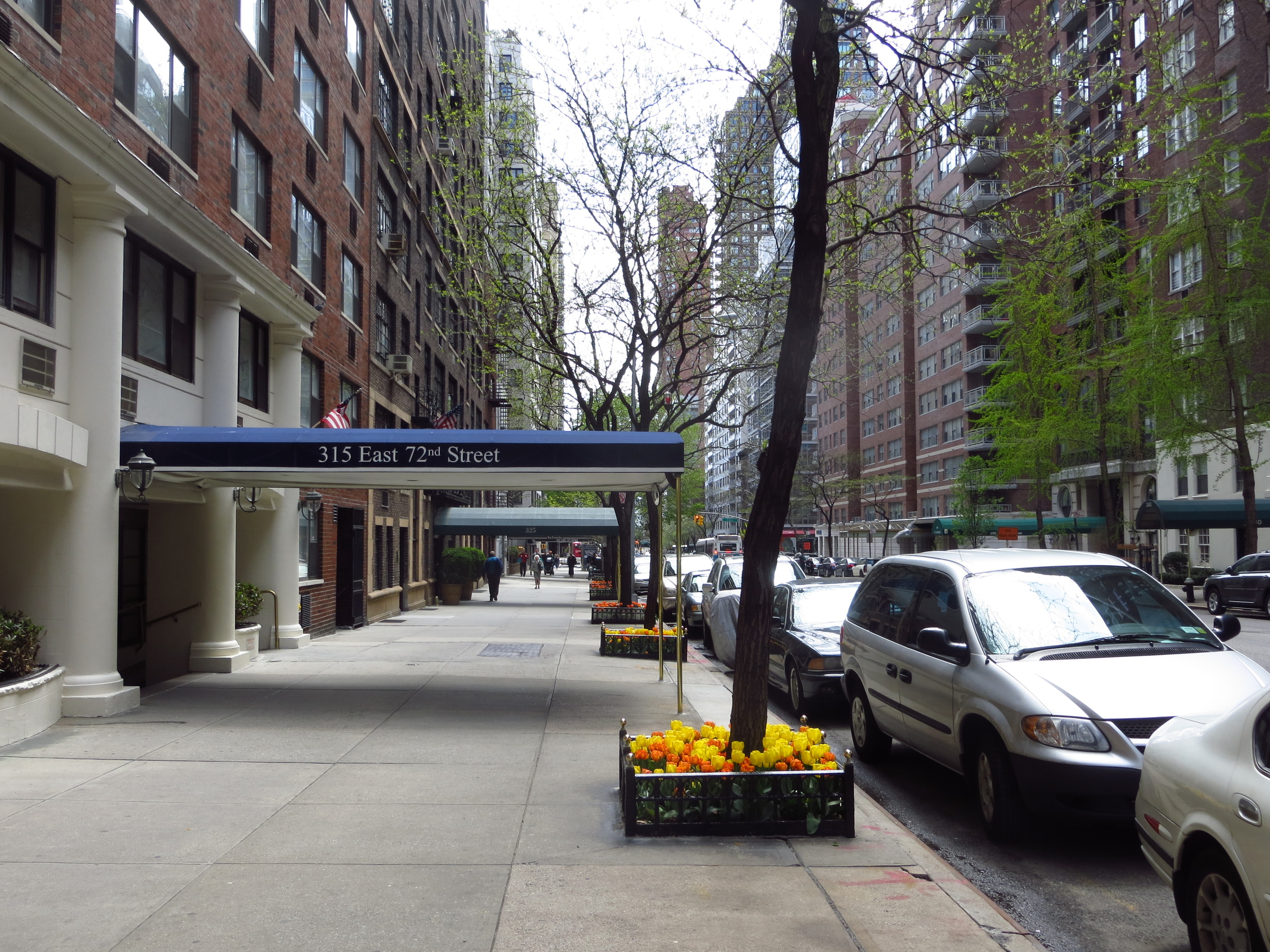
E 72nd. St. at 5th Ave.
E 72nd. St. btw 5th Ave. and Madison Ave.
E 72nd. St. btw 3rd Ave. and 2nd Ave.
E 72nd. St. at FDR Dr.
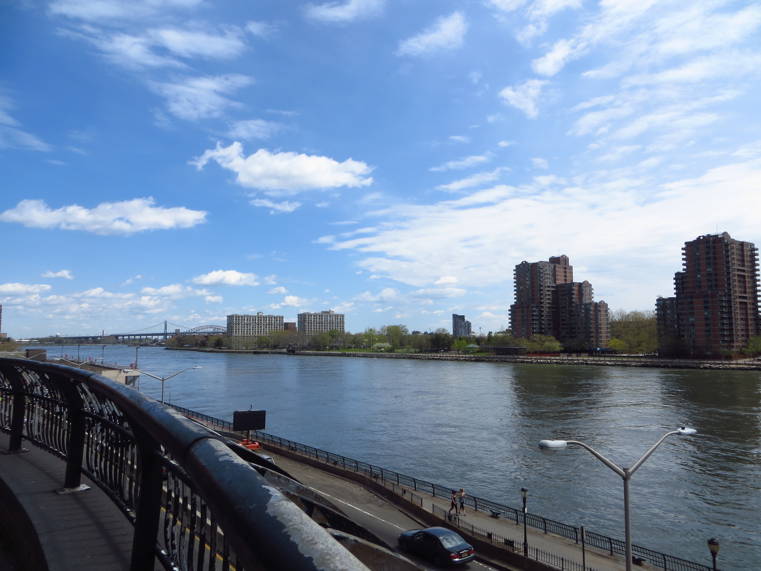
E 72nd. St. at FDR Dr.
E 72nd. St. at FDR Dr.
E 71st St.
E 71st St. btw Park Ave. and Madison Ave.
E 71st St. btw Madison Ave. and 5th Ave.
E 71st St. btw 5th Ave. and Madison Ave.
E 71st St. btw Madison Ave. and Park
E 71st St. btw Madison Ave. and Park
E 70th St. btw Park Ave and Lexington Ave.
E 70th St. btw Park Ave and Lexington Ave.
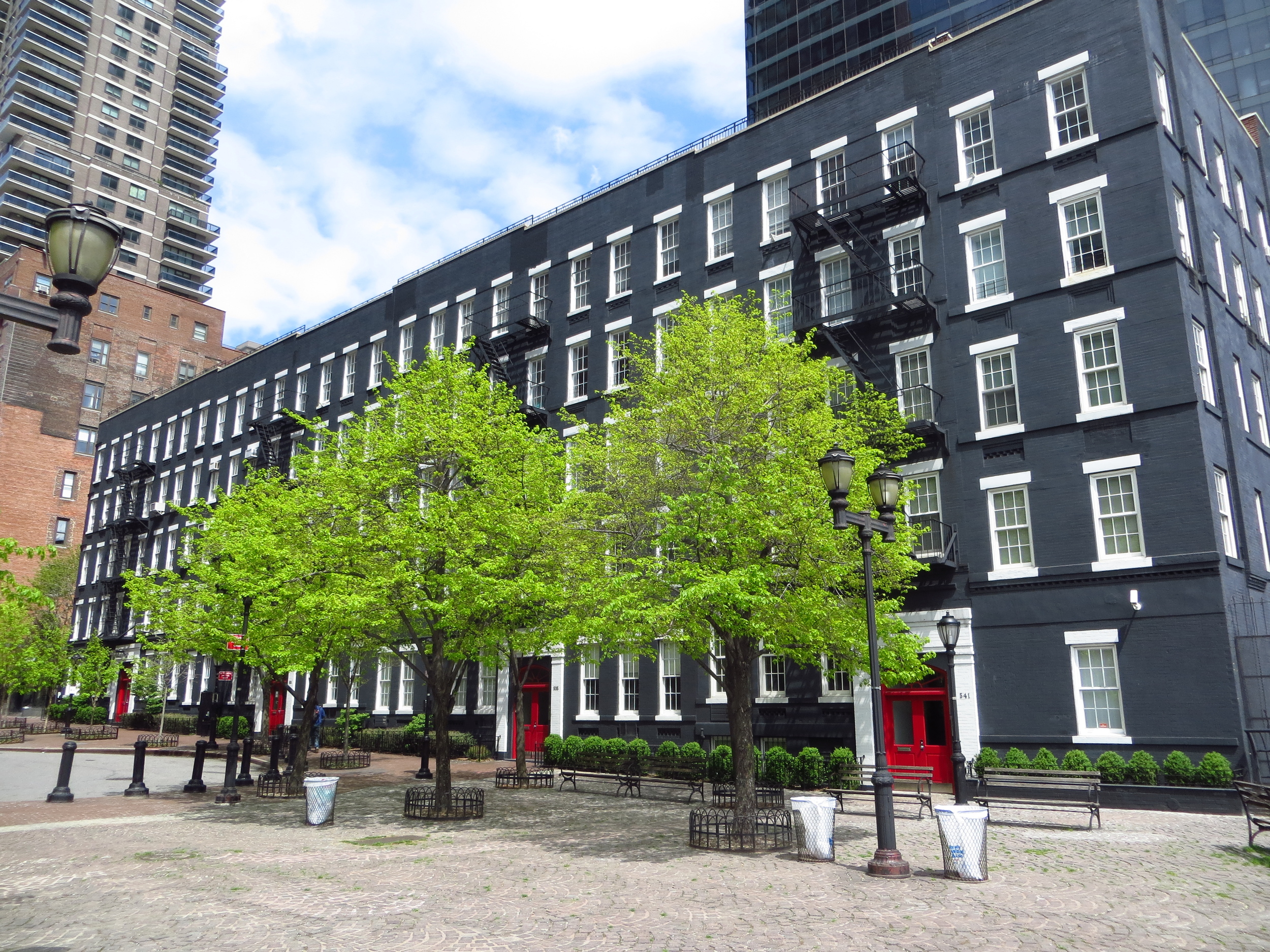
E 69th St. btw 1st Ave and York Ave.
E 69th St. btw 1st Ave and York Ave.
E 69th St. btw Lexington Ave and Park Ave.
E 69th St. btw Park Ave. and Madison Ave.
E 68th St. btw 1st Ave. and 2nd Ave.
E 67th St. btw 3rd Ave. and Lexington Ave.

E 67th St. btw 3rd Ave. and Lexington Ave.
E 66th St. btw 5th Ave. and Madison Ave.
E 66th St. btw Madison Ave. and Park Ave.
E 66th St. btw Madison Ave. and Park Ave.
E 66th St. btw Madison Ave. and Park Ave.
E 65th St. btw York Ave. and 1st Ave.
E 65th St. btw Lexington Ave. and Park Ave.
E 65th St. btw Lexington Ave. and Park Ave.
E 65th St. btw Park Ave. and Madison Ave.
E 65th St. btw Park Ave. and Madison Ave.
E 64th St. btw 5th Ave. and Madison Ave.

E 64th St. btw 1st Ave. and York Ave.
E 63rd St.
E 63rd St. btw Madison Ave. and 5th Ave.
E 62nd St. btw Lexington Ave. and 3rd Ave.
E 62nd St. btw 3rd Ave. and 2nd Ave
E 61st St. btw York Ave. and 1st Ave
E 61st St. btw Park Ave. and Madison Ave.
E 60th St. btw 5th Ave. and Madison Ave.
E 61st St. btw 1st Ave. and York Ave.
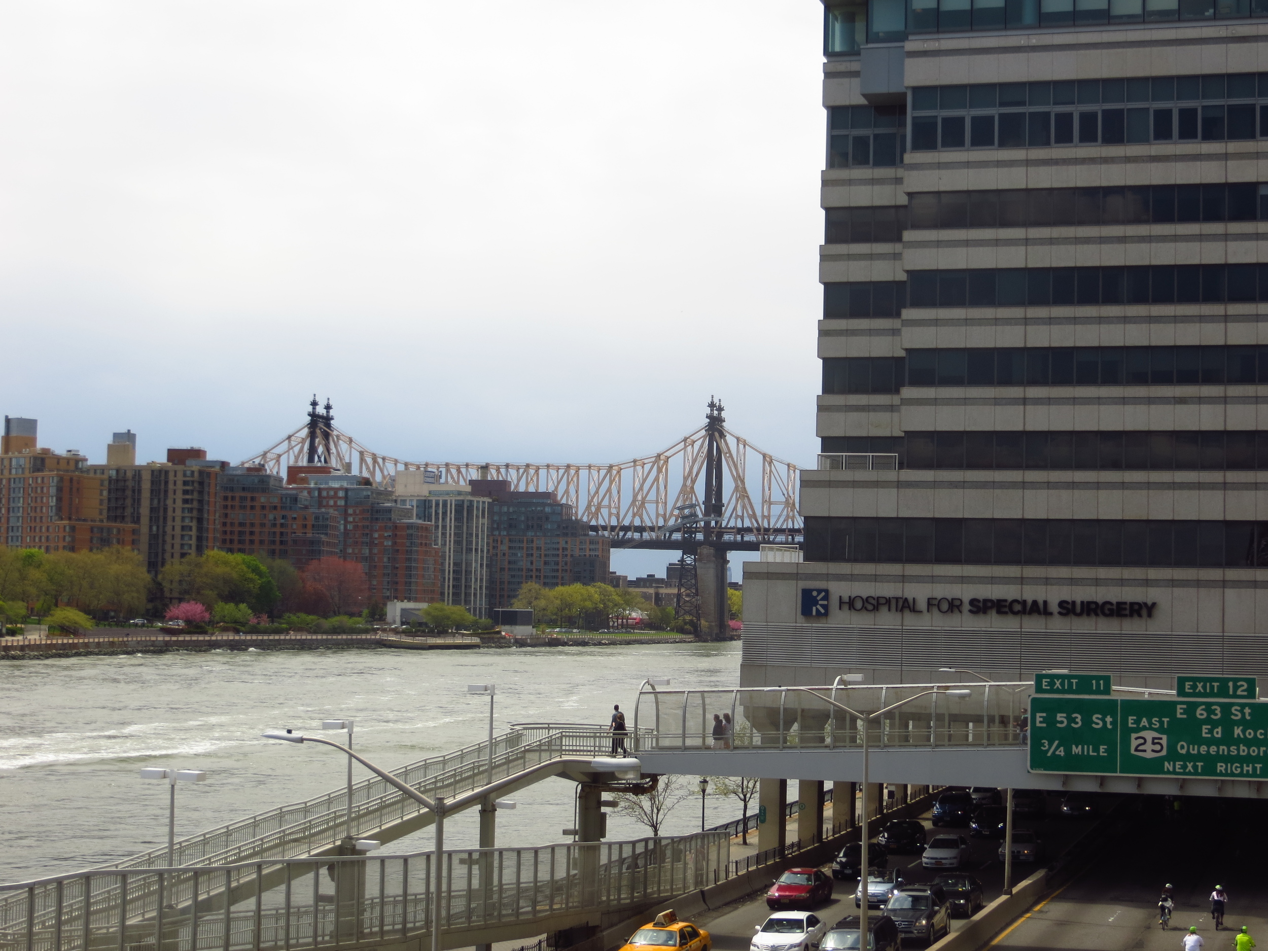
E 59th St at York Ave.
E 59th St at York Ave.
E 59th St at York Ave.
E 59th St btw 1st Ave and 2nd Ave

E 59th St btw 3rd and Lexington Ave
.
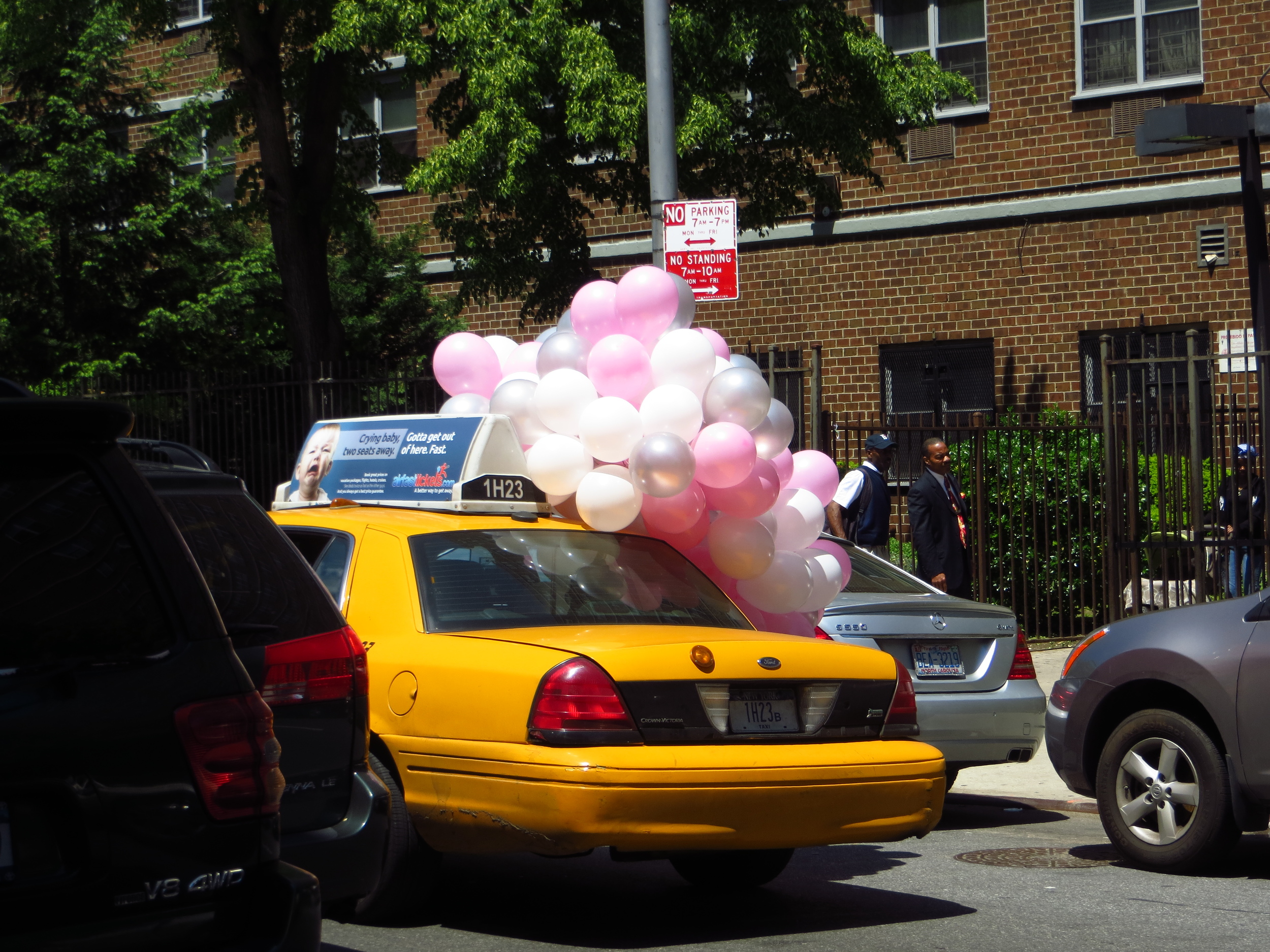
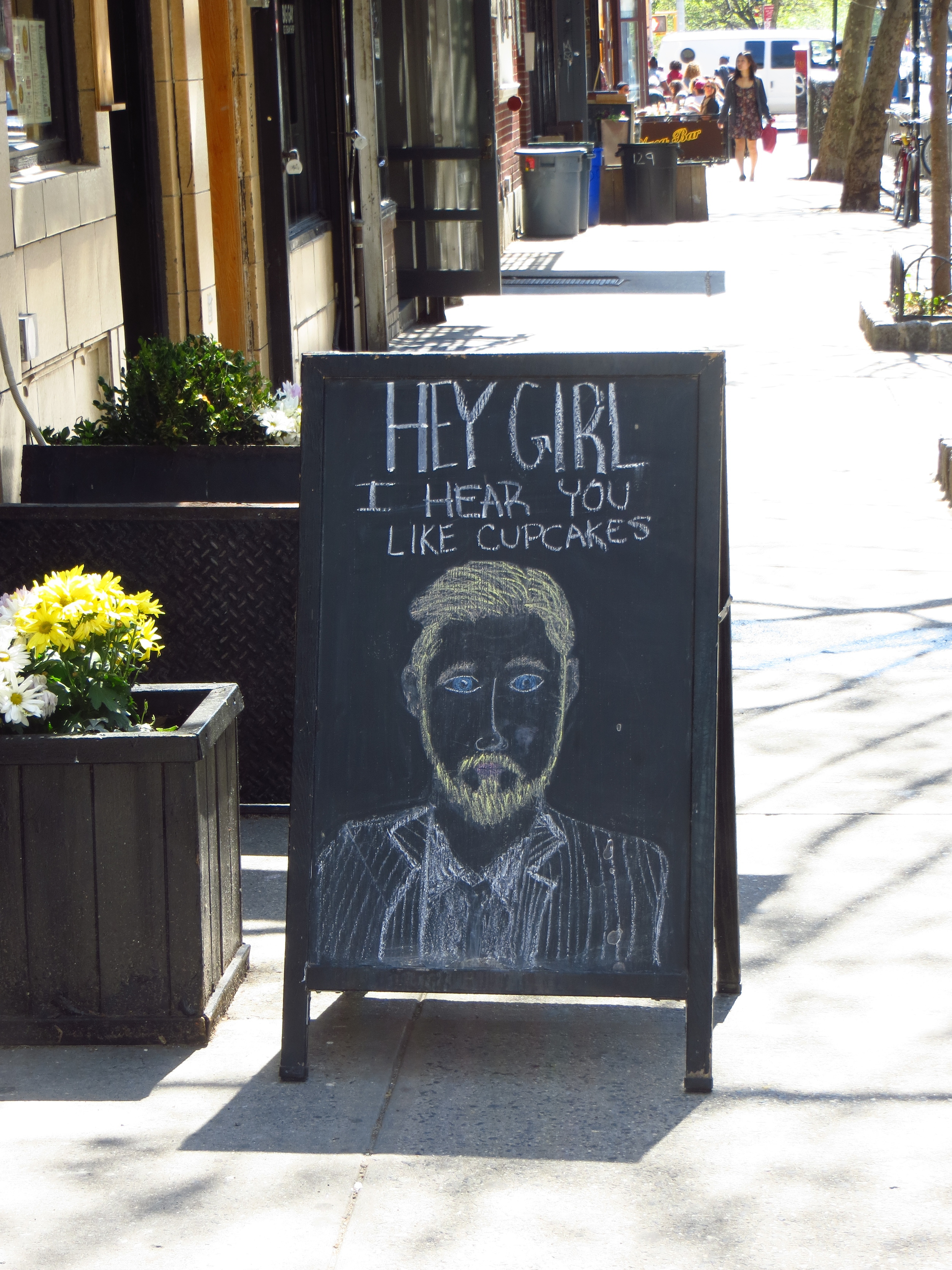
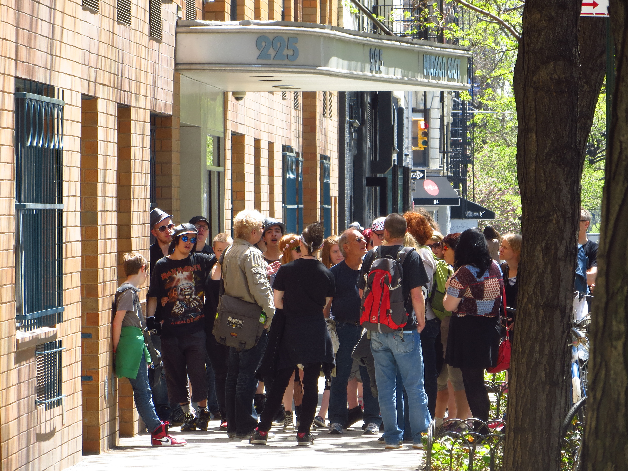
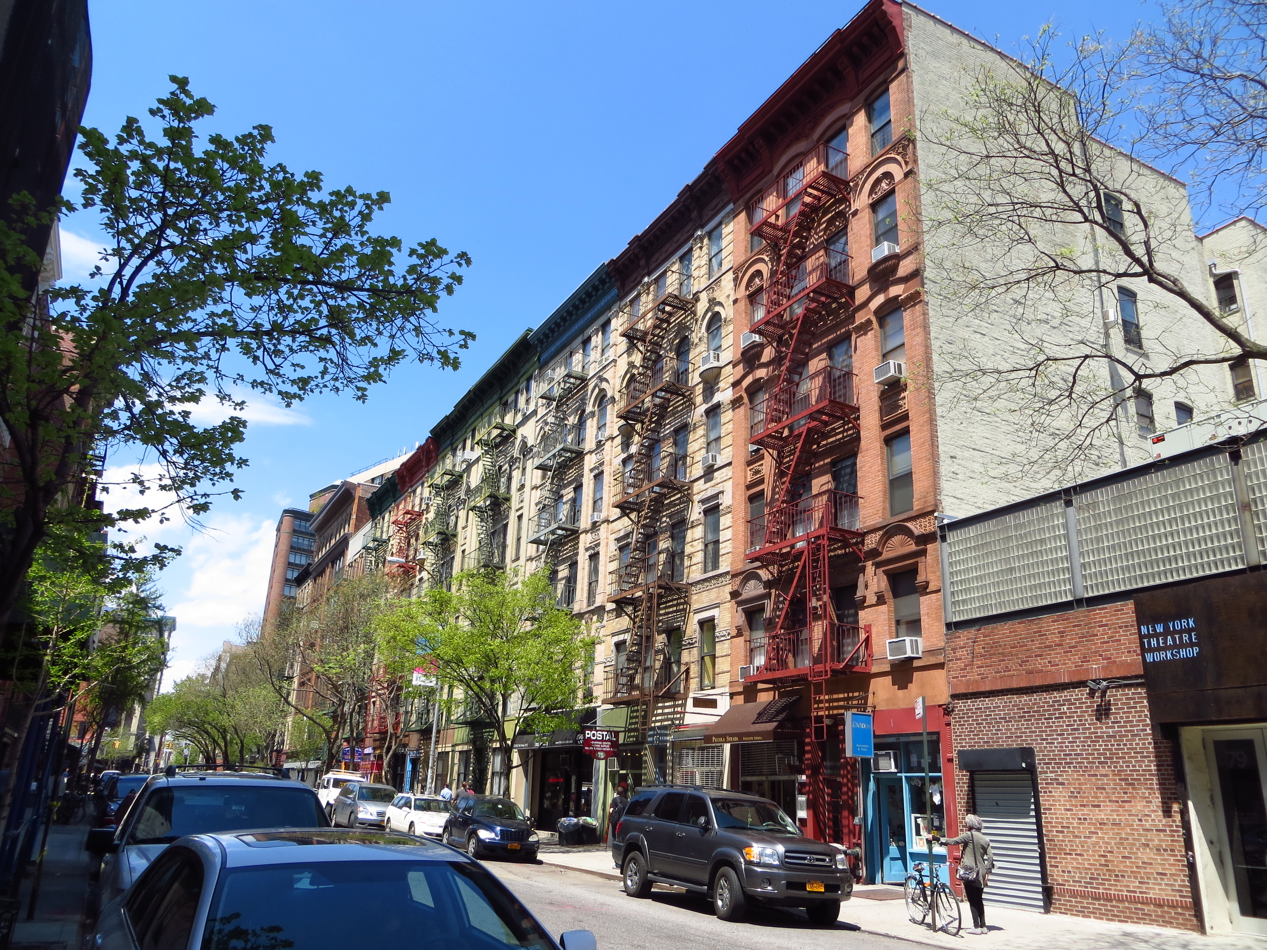
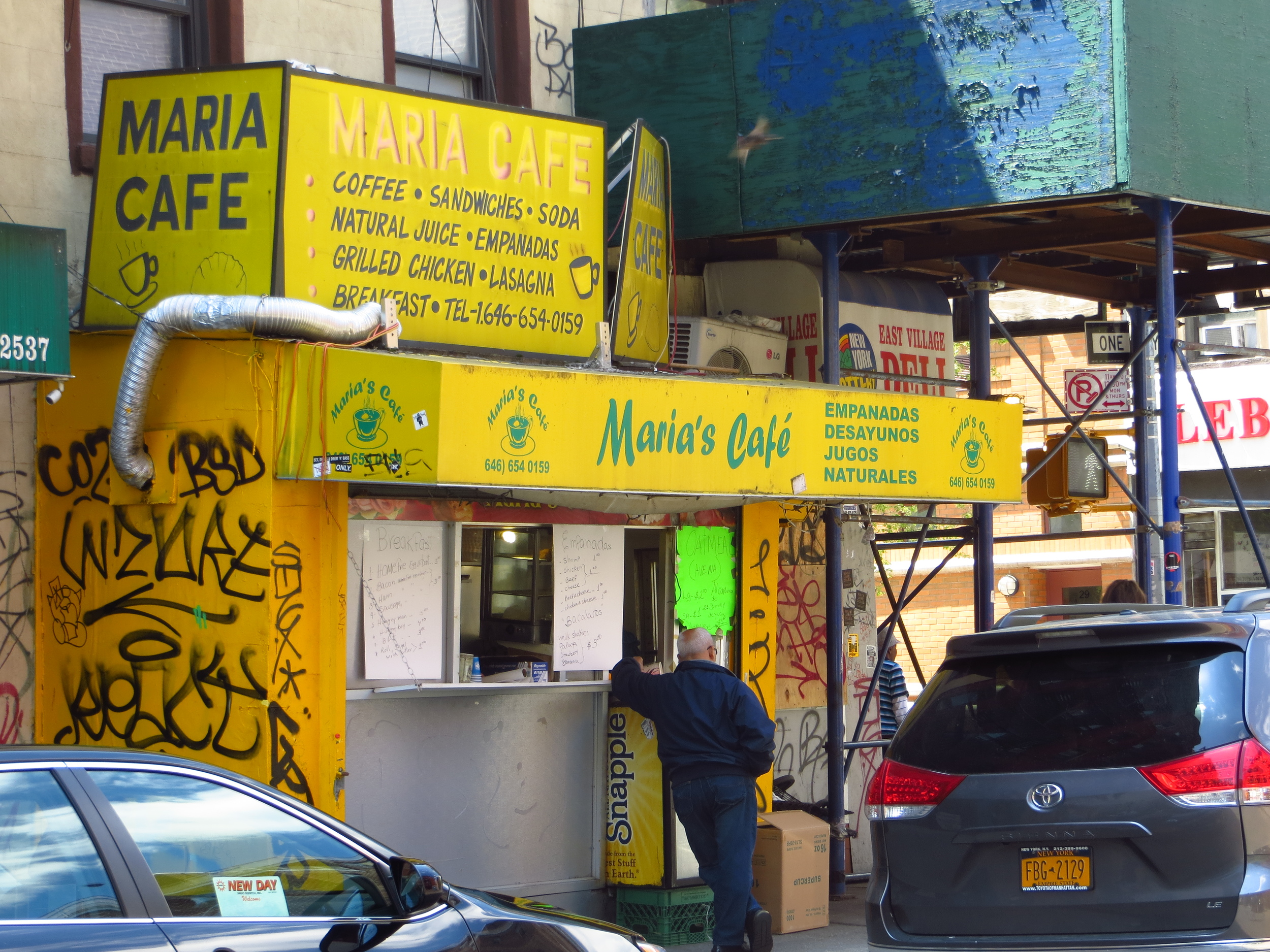
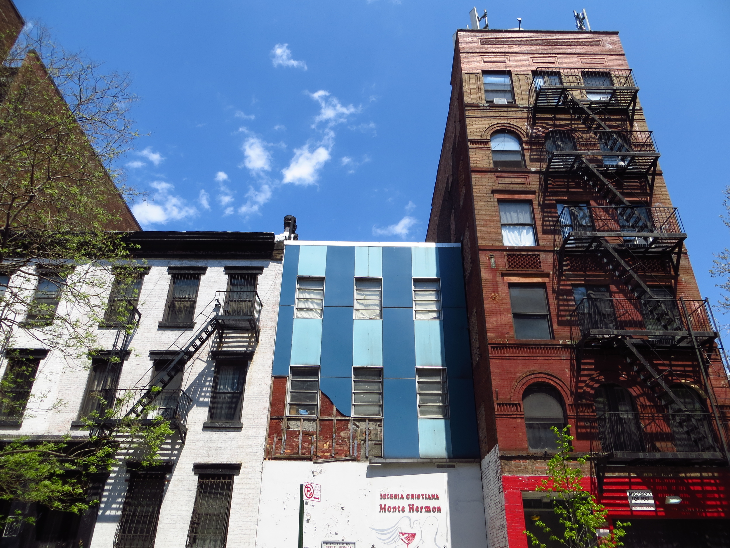
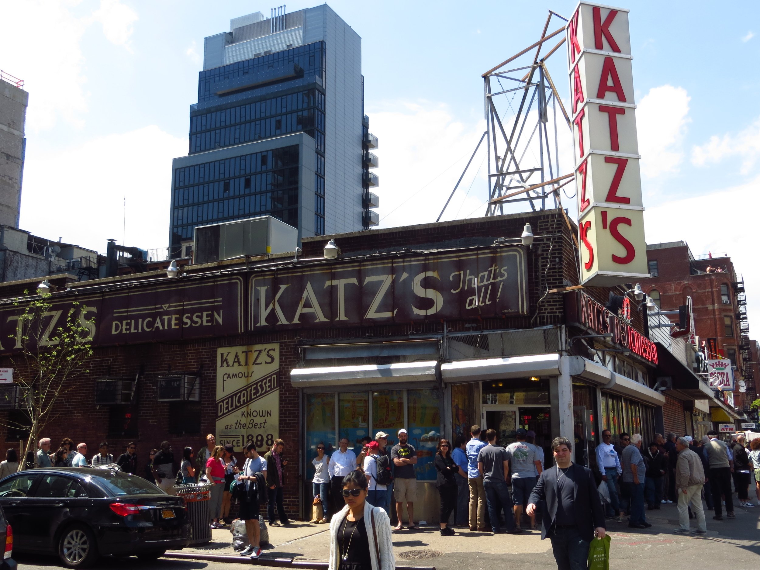
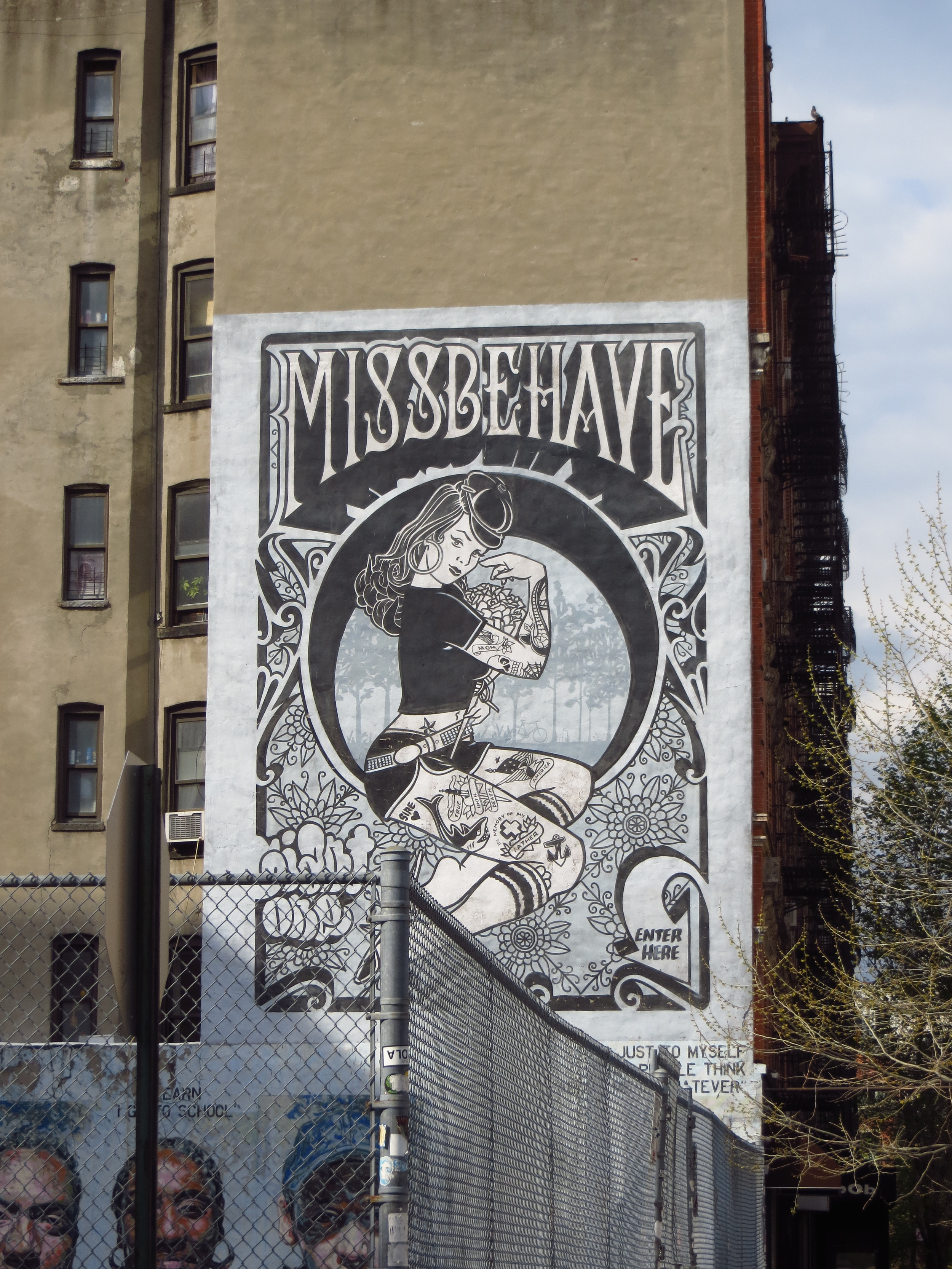
I finished the East Village walk today and made it a couple blocks into the Lower East Side, going from E. 7th St. down to Rivington St.; about 8 miles.

Today's walk
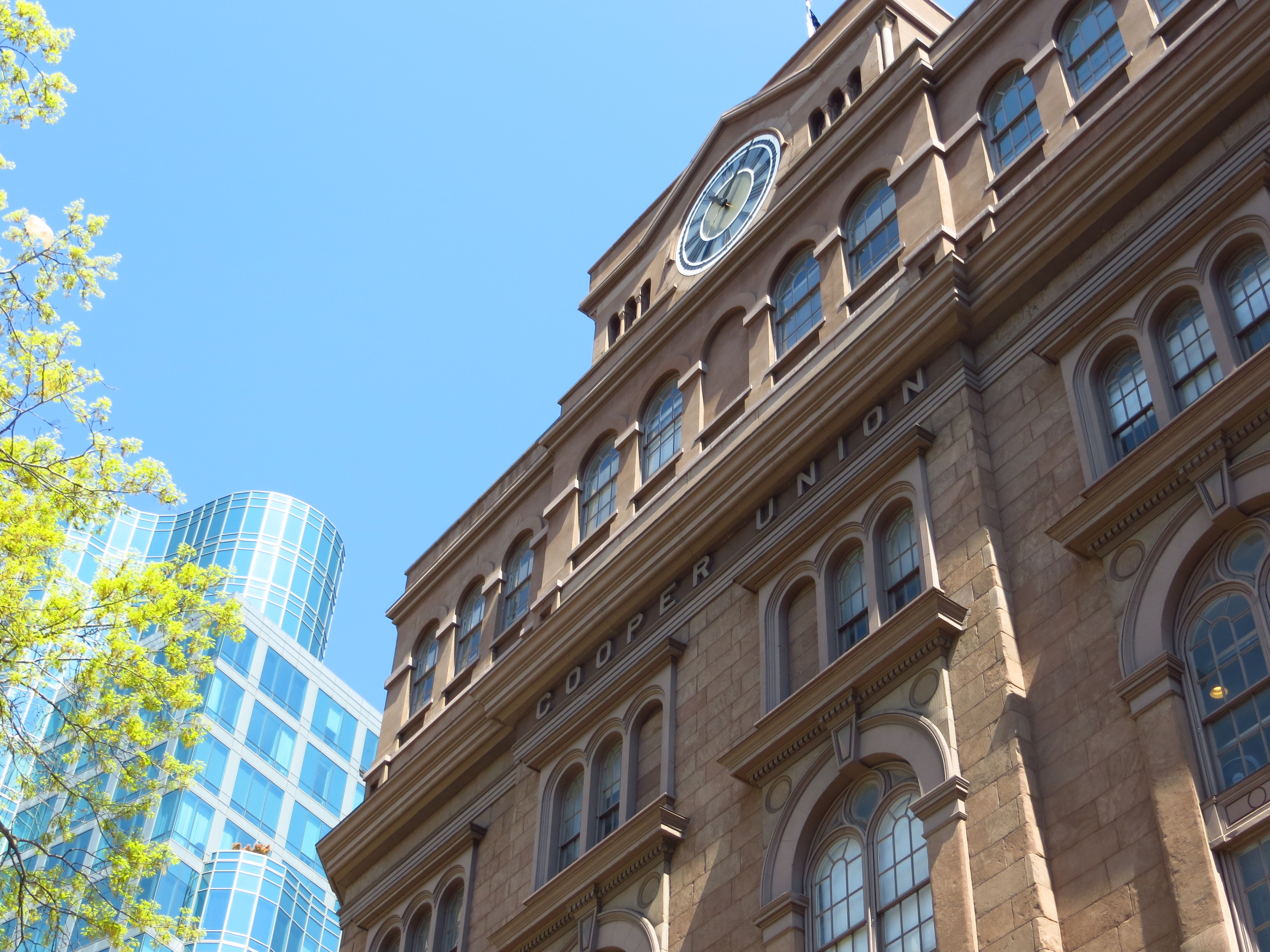
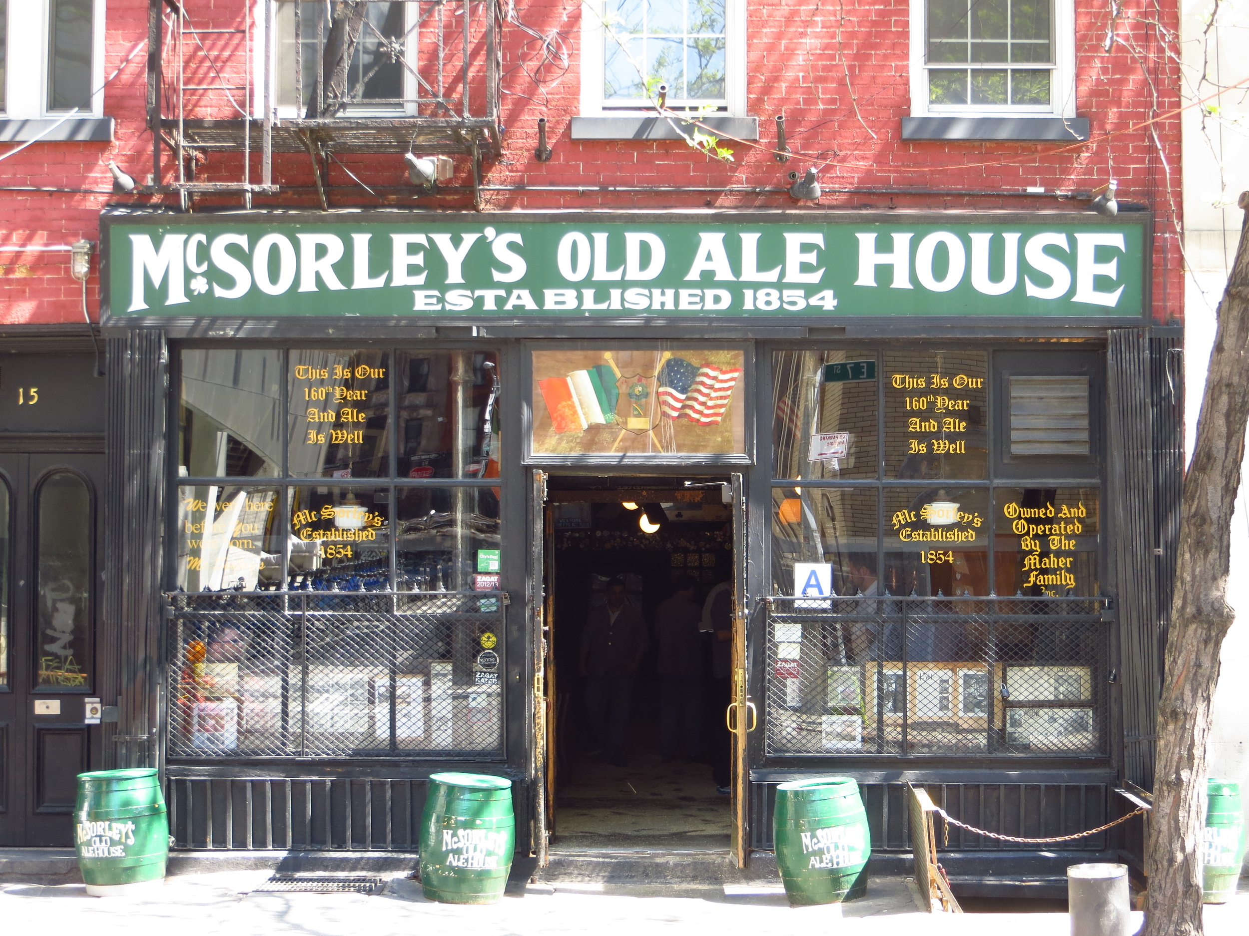
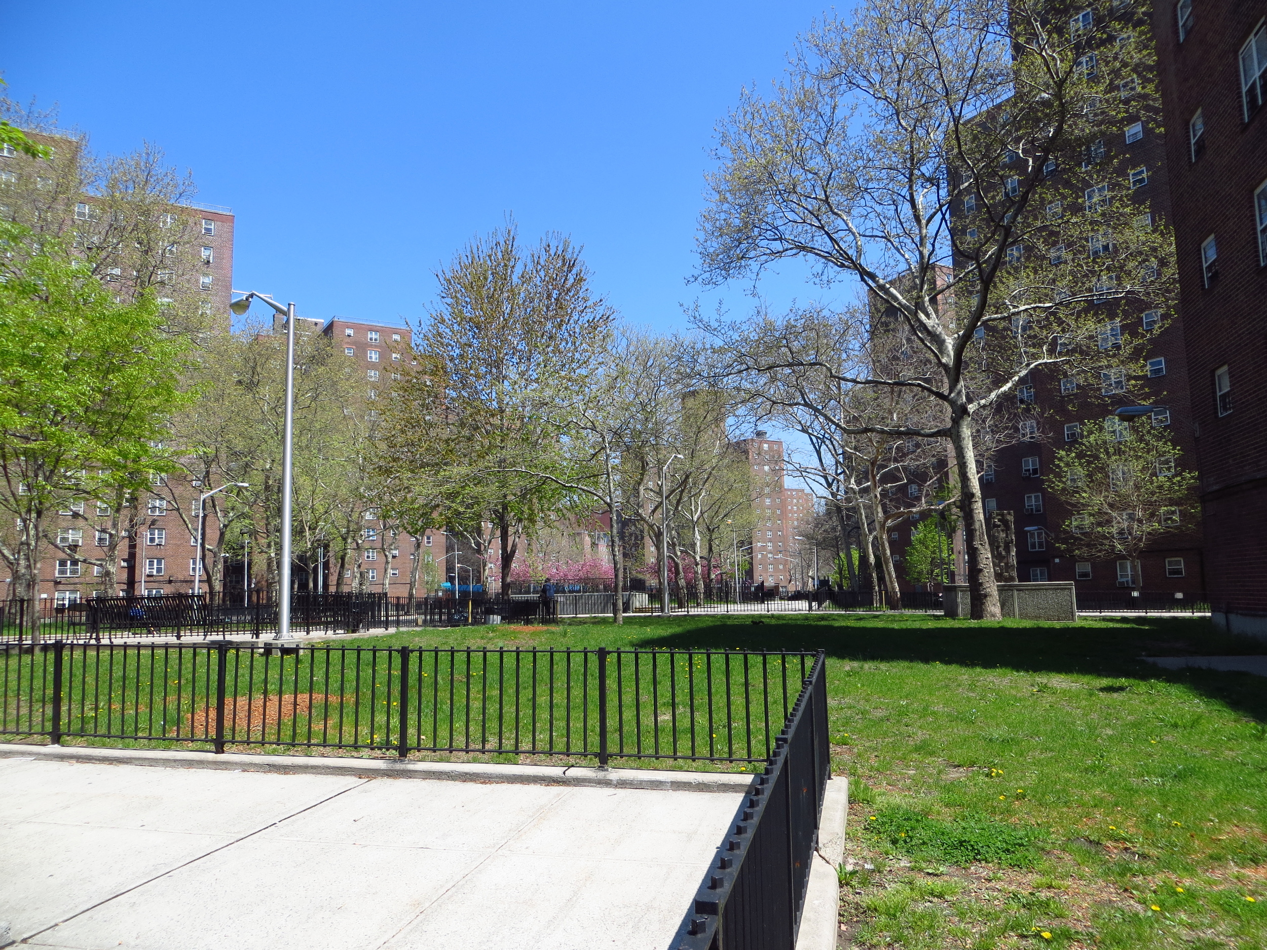
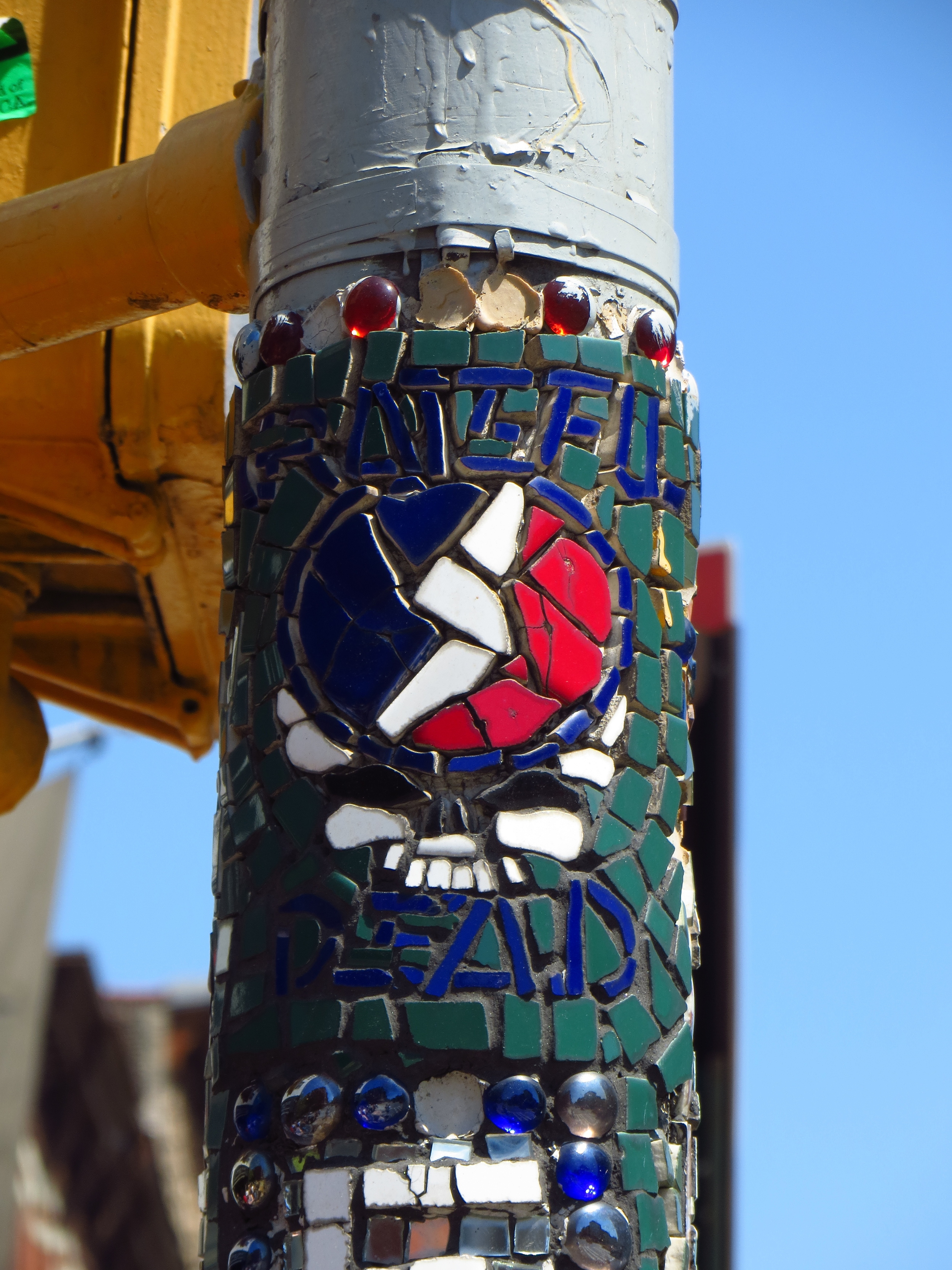
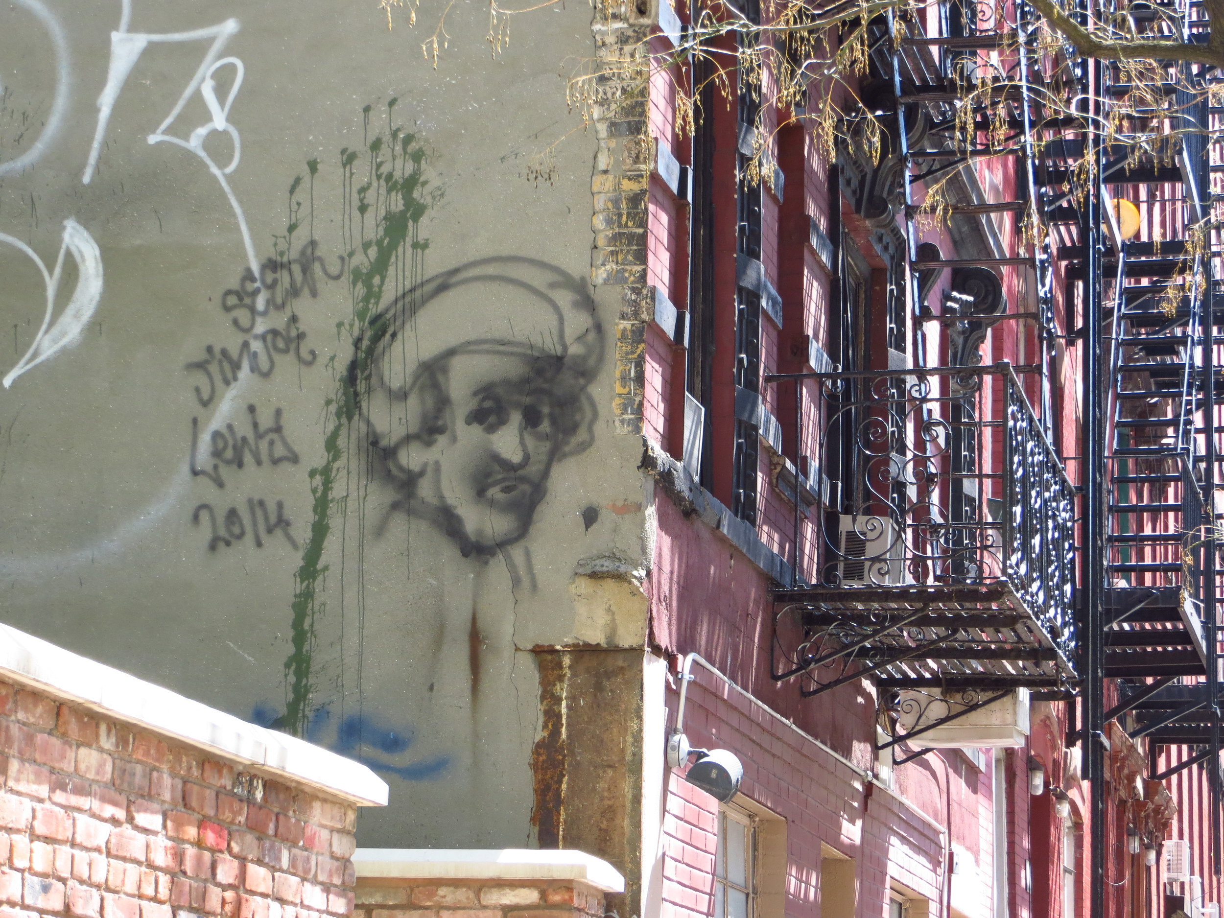
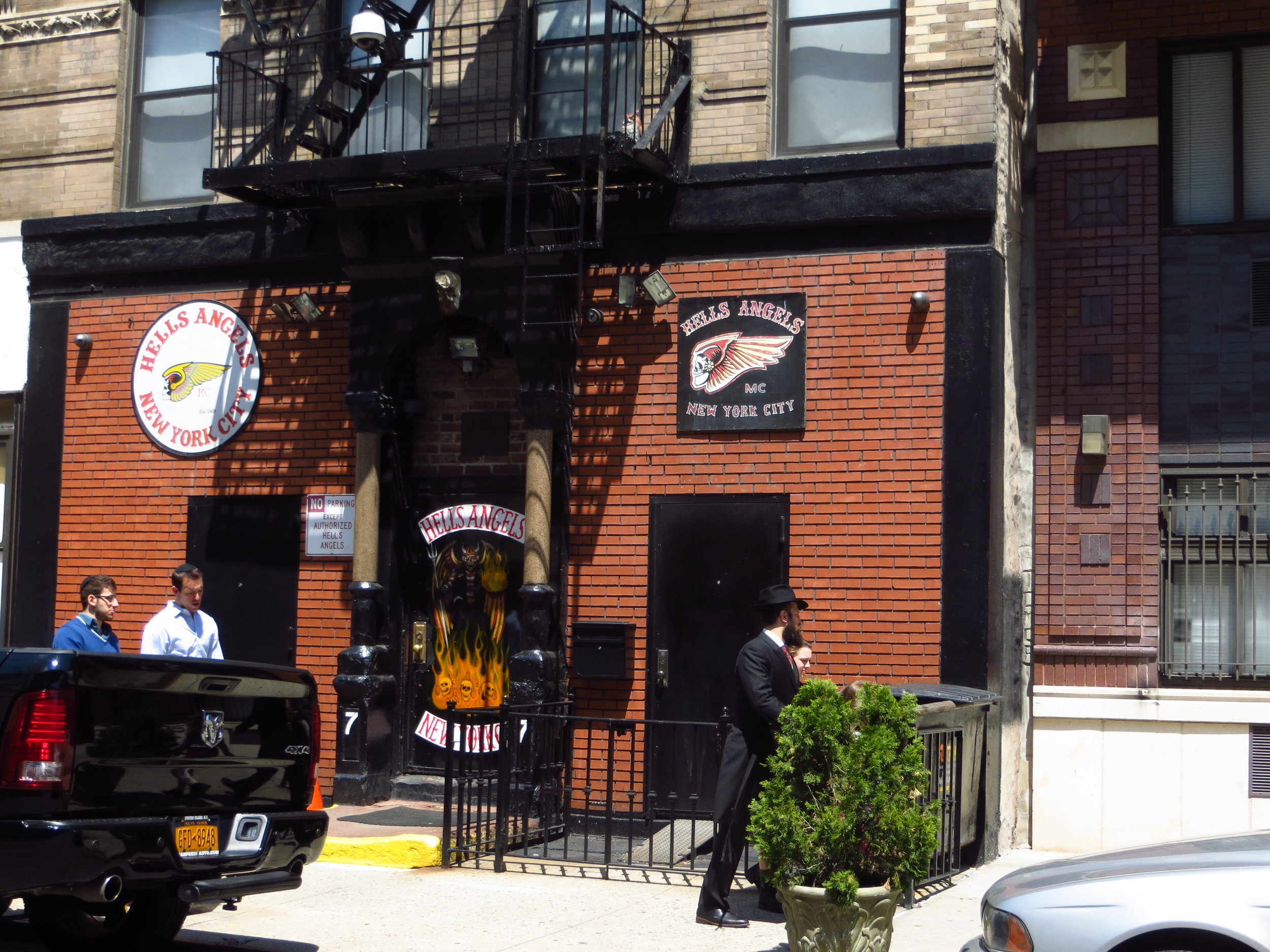
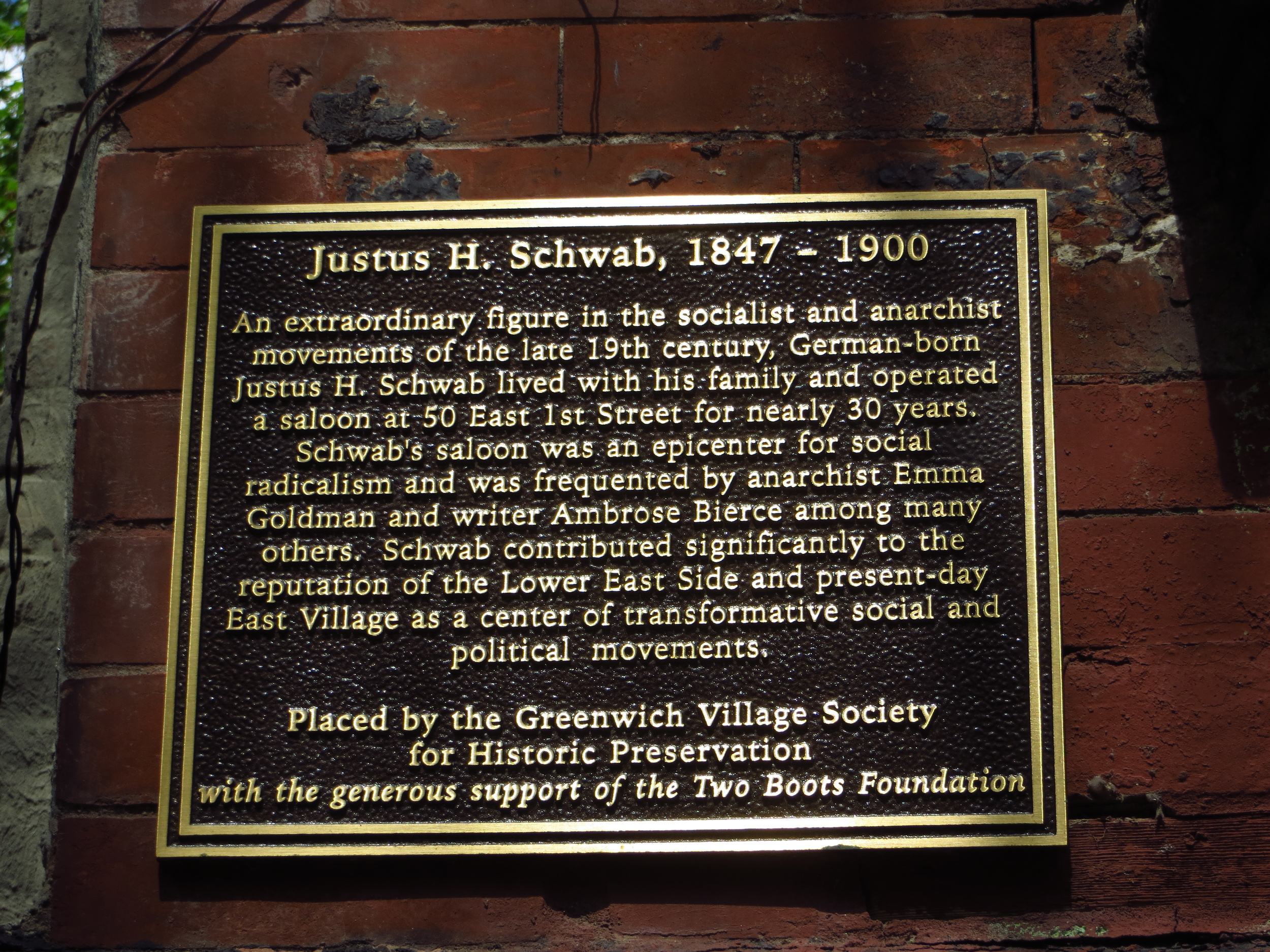
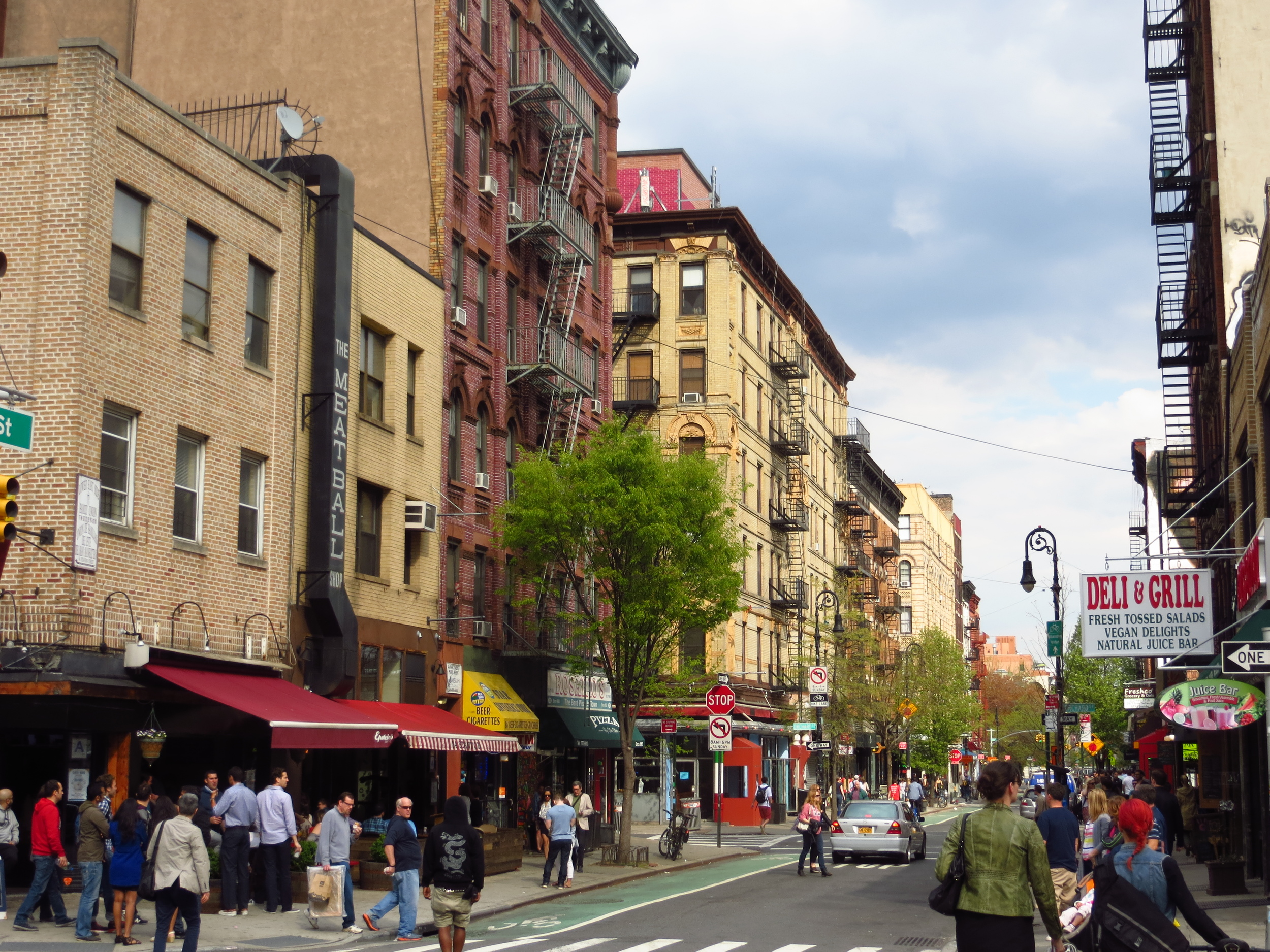
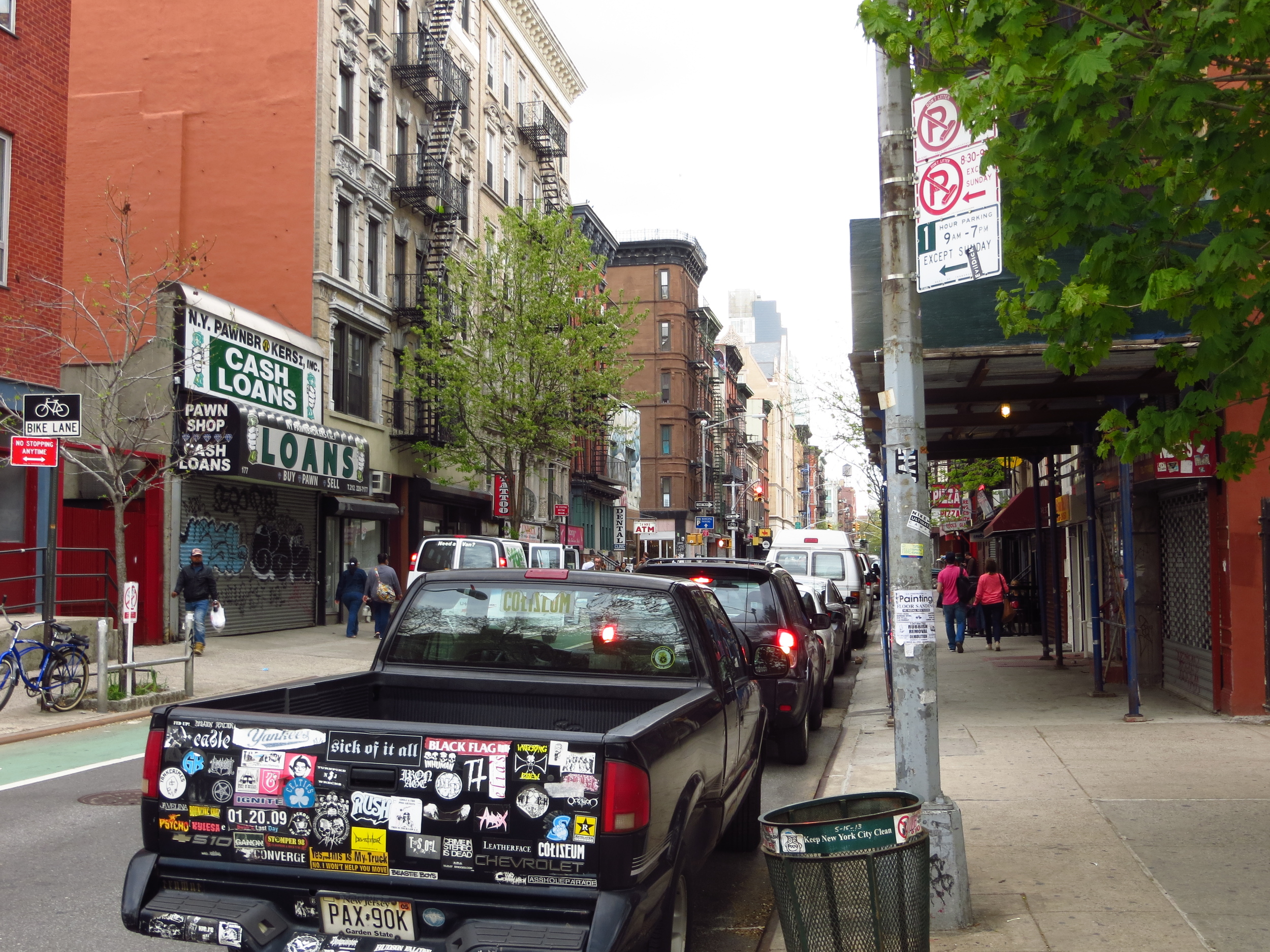
The walk started across from Cooper Union, which is a college founded in 1859. Lincoln gave a famous speech here in 1860 and until last year it offered all of its students free tuition. Along the way I almost unknowingly passed by the former site of the Fillmore East theater (thanks rock and roll walking tour!), where one of my favorite Grateful Dead albums was recorded. As before, the blocks between Bowery and Ave. B are largely older walk-up apartments with some restaurants, bars and boutique stores at street-level. Between about Ave. B and Ave. D is a Puerto Rican neighborhood with a bunch of community gardens. East of Ave. D are the Jacob Riis Houses, public housing projects named for the famed tenement photographer and author of "How the Other Half Lives".
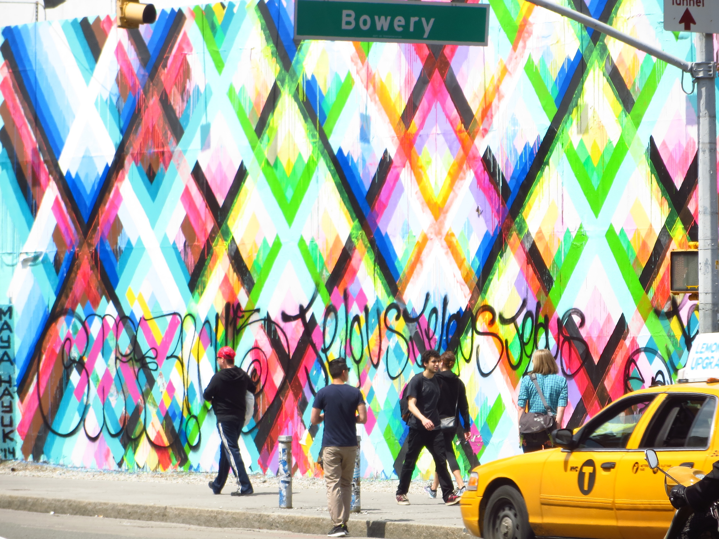
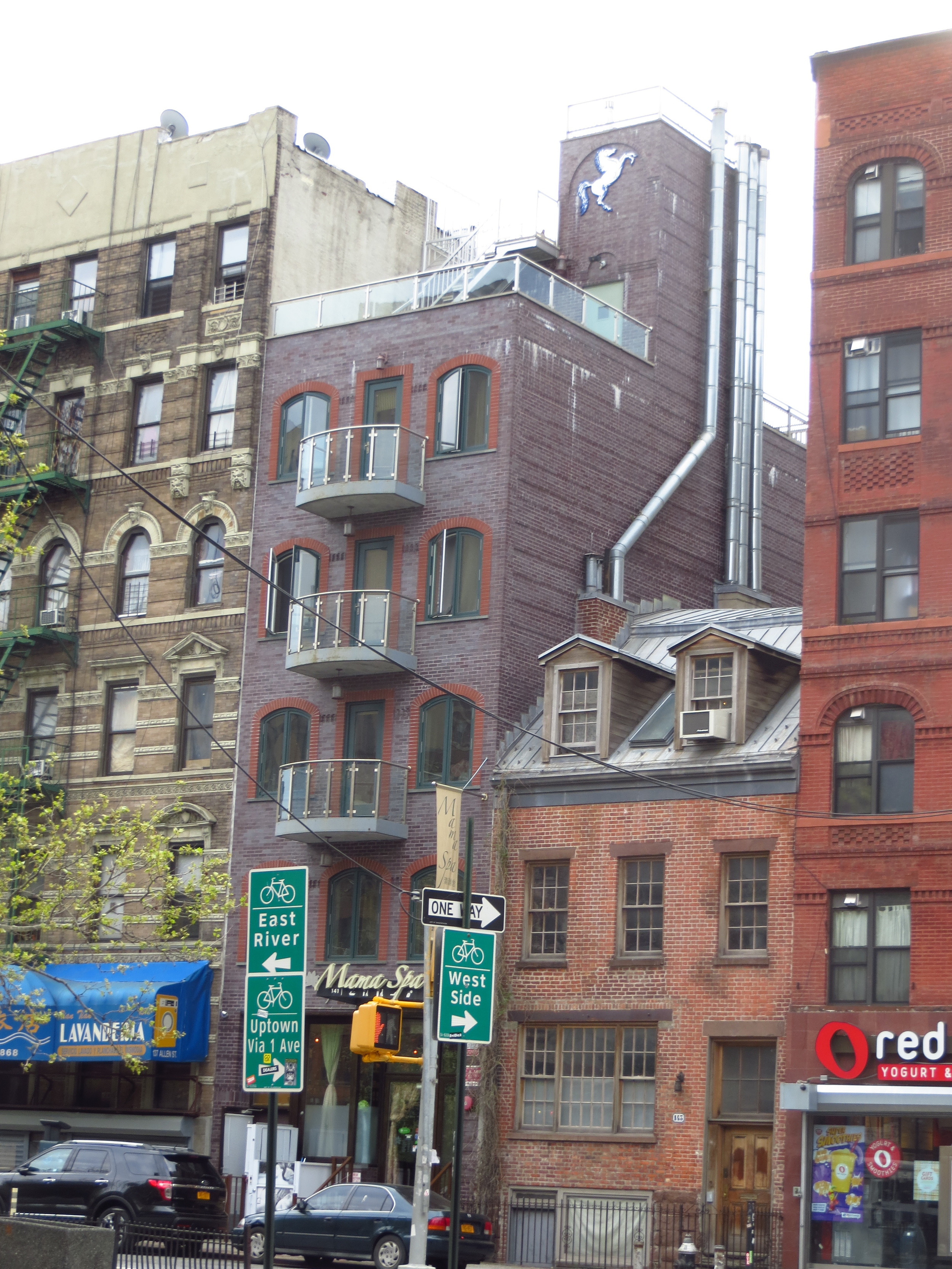
I kept walking for a couple blocks after going down Houston (pronouned "how-stun", not "hyoo-stun"), into the Lower East Side (or "LES"). I've heard that back in the day the East Village was considered a sub-neighborhood of the LES, but I think today it's generally considered to be the area east of Bowery between Houston to the north and Canal St. to the south (roughly).
Getting south of Houston is where this gets tough - you leave the numbered streets and avenues along with the nice grid-layout from the Commissioners' Plan of 1811. The Plan laid out the development of Manhattan north of 14th St. before it was heavily developed so that the rest of the island wouldn't evolve into a morass of streets strewn haphazardly at odd angles with no common naming convention.
So even though the Plan only really applies to the island north of 14th St., with the exception of the West Village, the area between 14th St. and Houston St. mostly adheres to some form of grid, which makes setting out a logical/efficient path easier for me.
Not quite ready for the chaos of Lower Manhattan, so I'll probably head back north for my next couple walks.
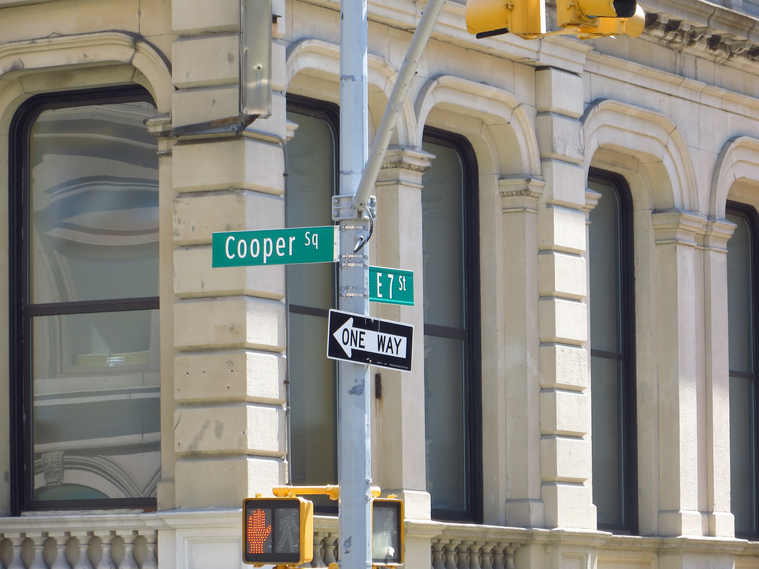
E 7th @ Cooper Sq./3rd Ave.
E 7th @ Cooper Sq./3rd Ave.
E 7th btw Cooper Sq./3rd Ave. and 2nd Ave.
E 7th St. btw 2nd Ave. and 1st Ave.
E 7th St. btw 2nd Ave. and 1st Ave.
E 7th St. btw 1st Ave. and Ave. A
E 6th St. btw the FDR and Ave. D
E 6th St. btw Ave. C and Ave. D
E 6th St. btw Ave. C and Ave. B
E 6th St. btw 2nd Ave. and 3rd Ave.
E 6th St. btw 2nd Ave. and 3rd Ave.
E 5th St. btw 2nd Ave. and 3rd Ave.
E 5th St. btw Ave. B and Ave. C
E 5th St. btw Ave. C and Ave. D
E 4th St. btw Ave. C and Ave. D
E 4th St. btw Ave. B and Ave. C
E 4th St. btw 1st Ave. and 2nd Ave.
E 3rd St. btw 1st Ave. and 2nd Ave.
E 3rd St. btw Ave. A and Ave. B
E 3rd St. btw Ave. A and Ave. B
E 3rd St. btw Ave. C and Ave. D
E 3rd St. btw Ave. C and Ave. D
E 2nd St. btw Bowery/3rd Ave. 2nd Ave.
E 2nd St. btw 2nd Ave. and 1st Ave.
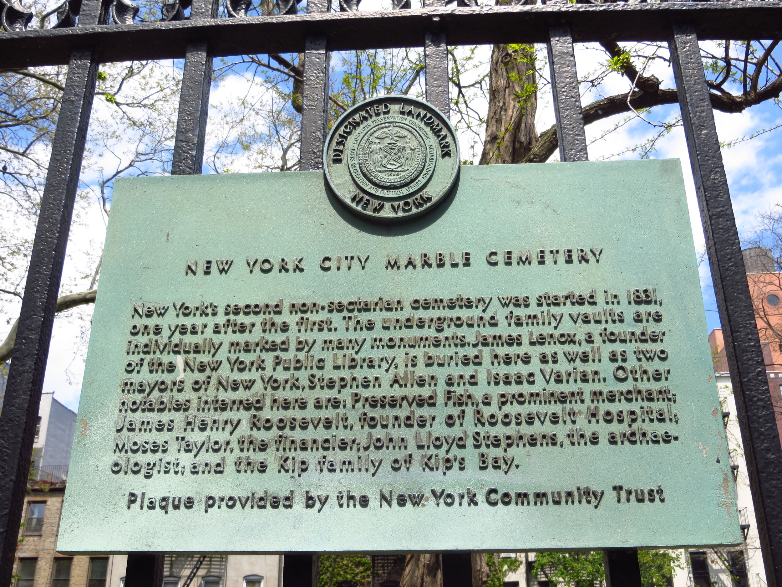
E 2nd St. btw 2nd Ave. and 1st Ave.
E 2nd St. btw 1st Ave. and Ave. A
E 2nd St. btw 1st Ave. and Ave. A
E 1st St. btw 1st Ave. and 2nd Ave.
E 1st St. btw 1st Ave. and 2nd Ave.
1st. St. at 1st Ave
Houston at FRD Drive
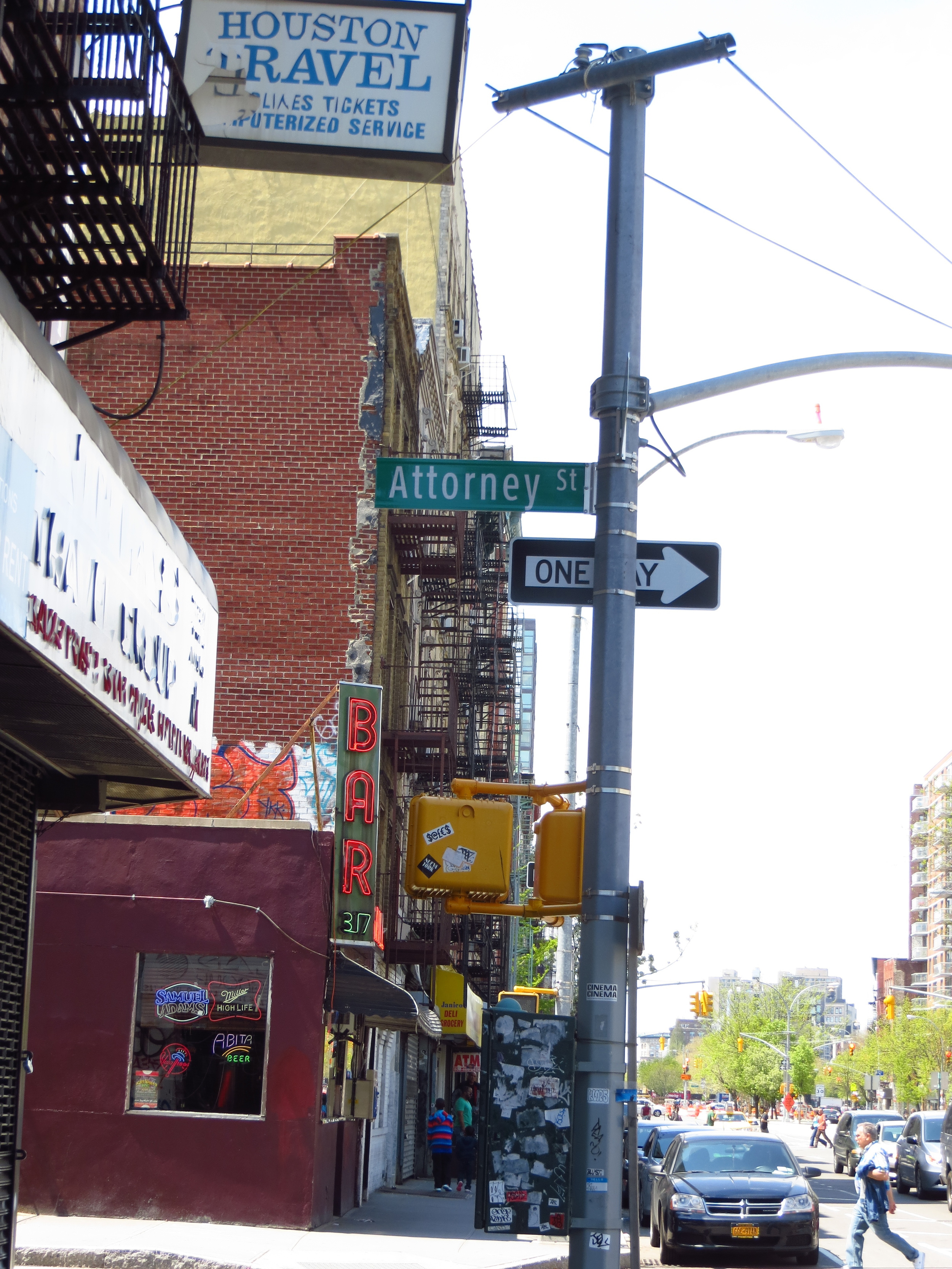
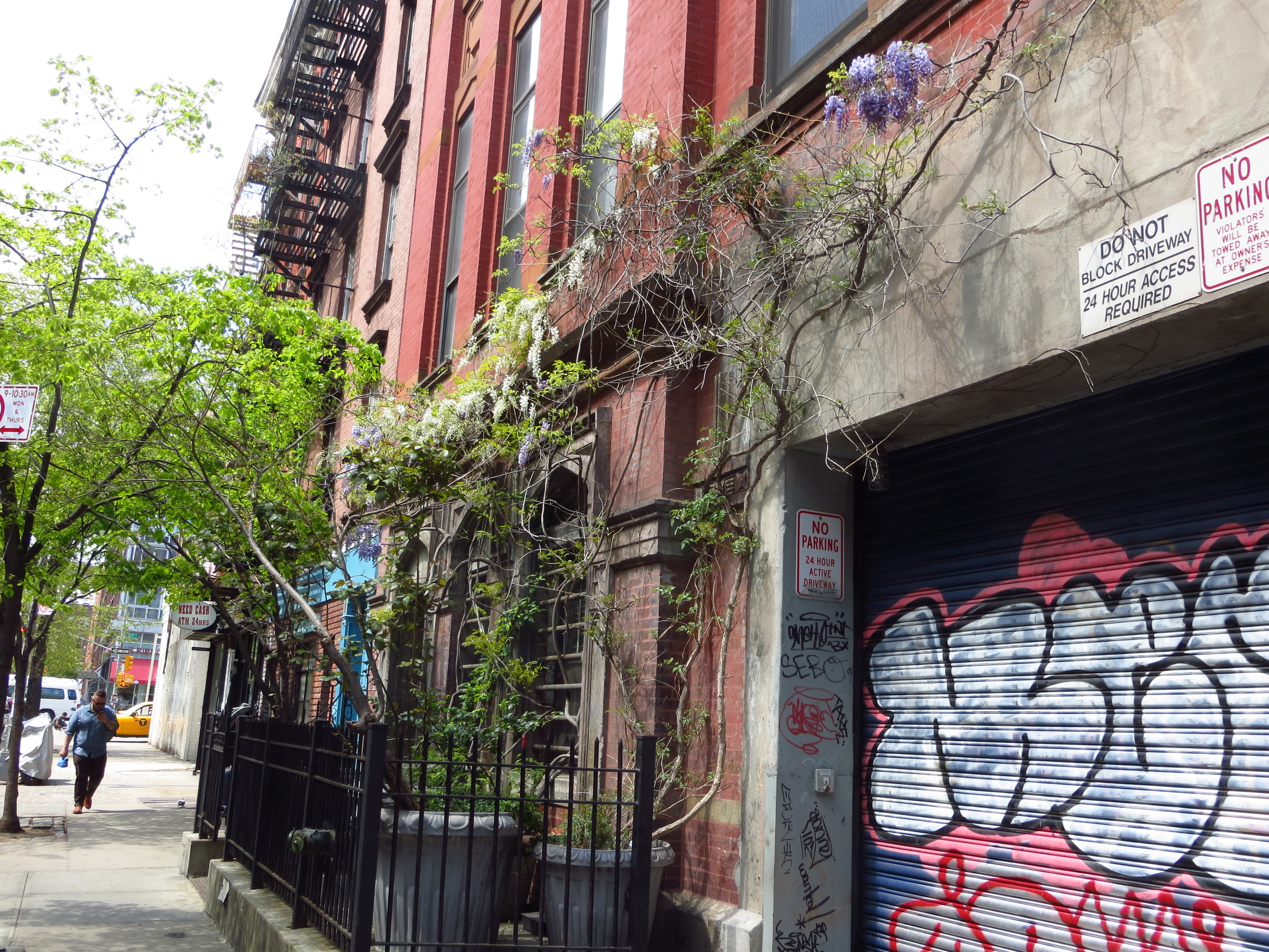
Houston btw Ridge St. and Attorney St.
Houston btw Ludlow St. and Orchard St.
Houston btw Orchard St. and Allen St.
Houston btw Forsyth St. and Eldridge St.
Houston btw Chrystie and Bowery
Stanton St. btw Forsyth St. and Eldridge St.
Stanton St. btw Allen St. and Eldridge St.
Rivington St. btw Ridge St. and Attorney St.
Rivington St. btw Orchard St. and Allen St.