West Harlem (Manhattanville)
To fill in a gap in my progress map and take advantage of some nice weather, I did the blocks from W. 125th St. - W 135th St. west of Convent Ave. Unlike my recent walks, this area didn't stick to the grid very well and what should have been a quick 6 miles took longer than I thought it would. Good practice for Lower Manhattan, I suppose.
Today's walk (approximately)
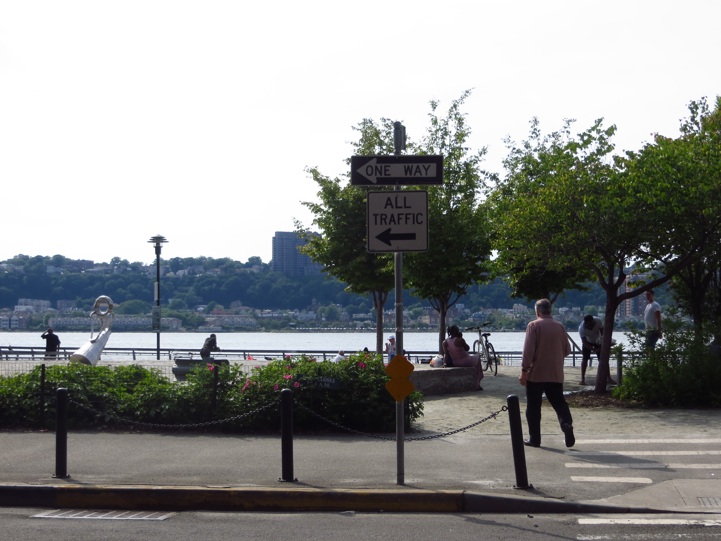
The walk corresponded mostly with the neighborhood of Manhattanville, which sits between Morningside Heights and Hamilton Heights. Unlike these other two neighborhoods, Manhattanville is not up on the bluff the runs along the upper west side of Manhattan. It sits in a valley between 125th St. and 135th St that dips down about 100 ft. to about sea level.
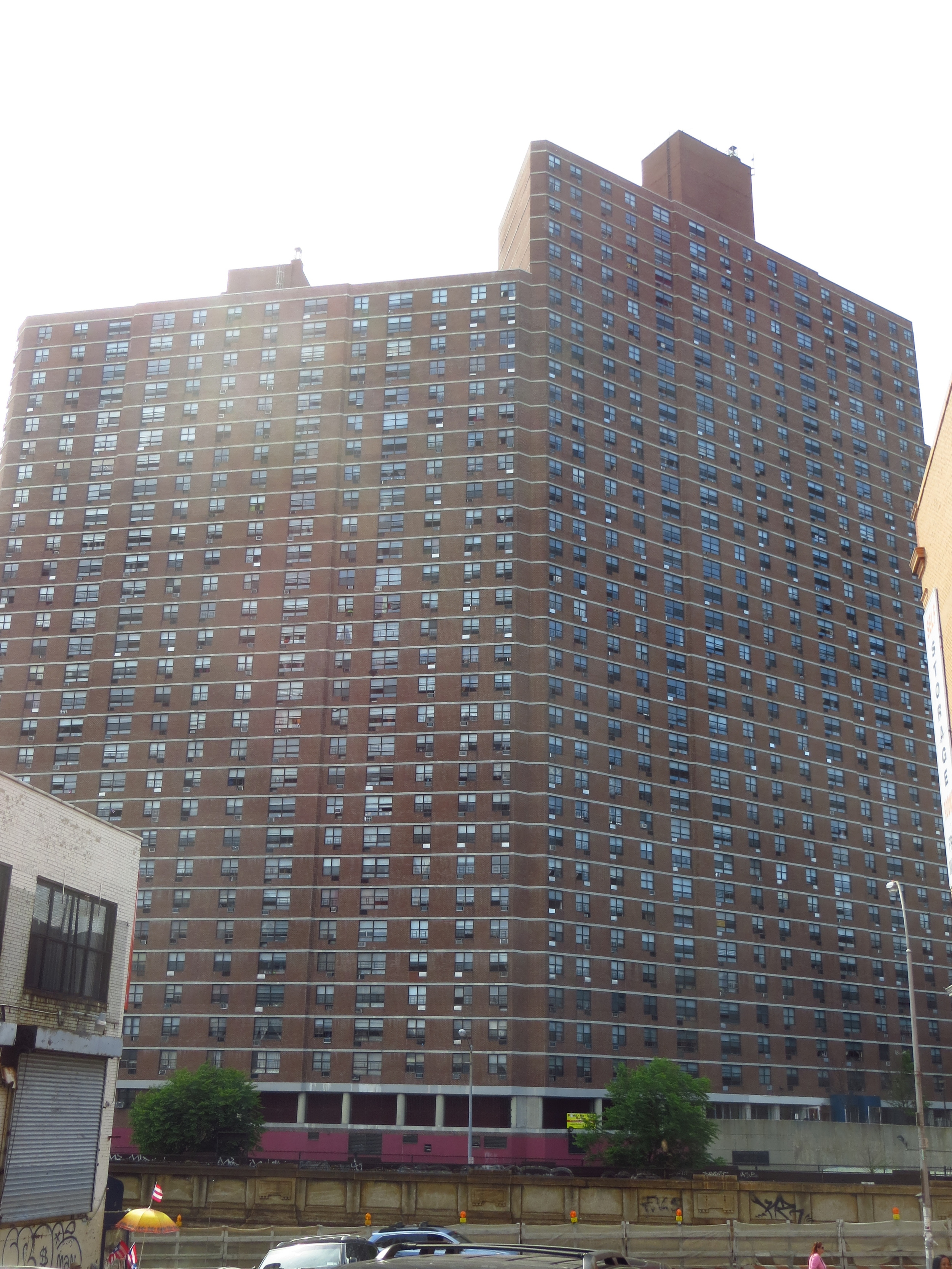
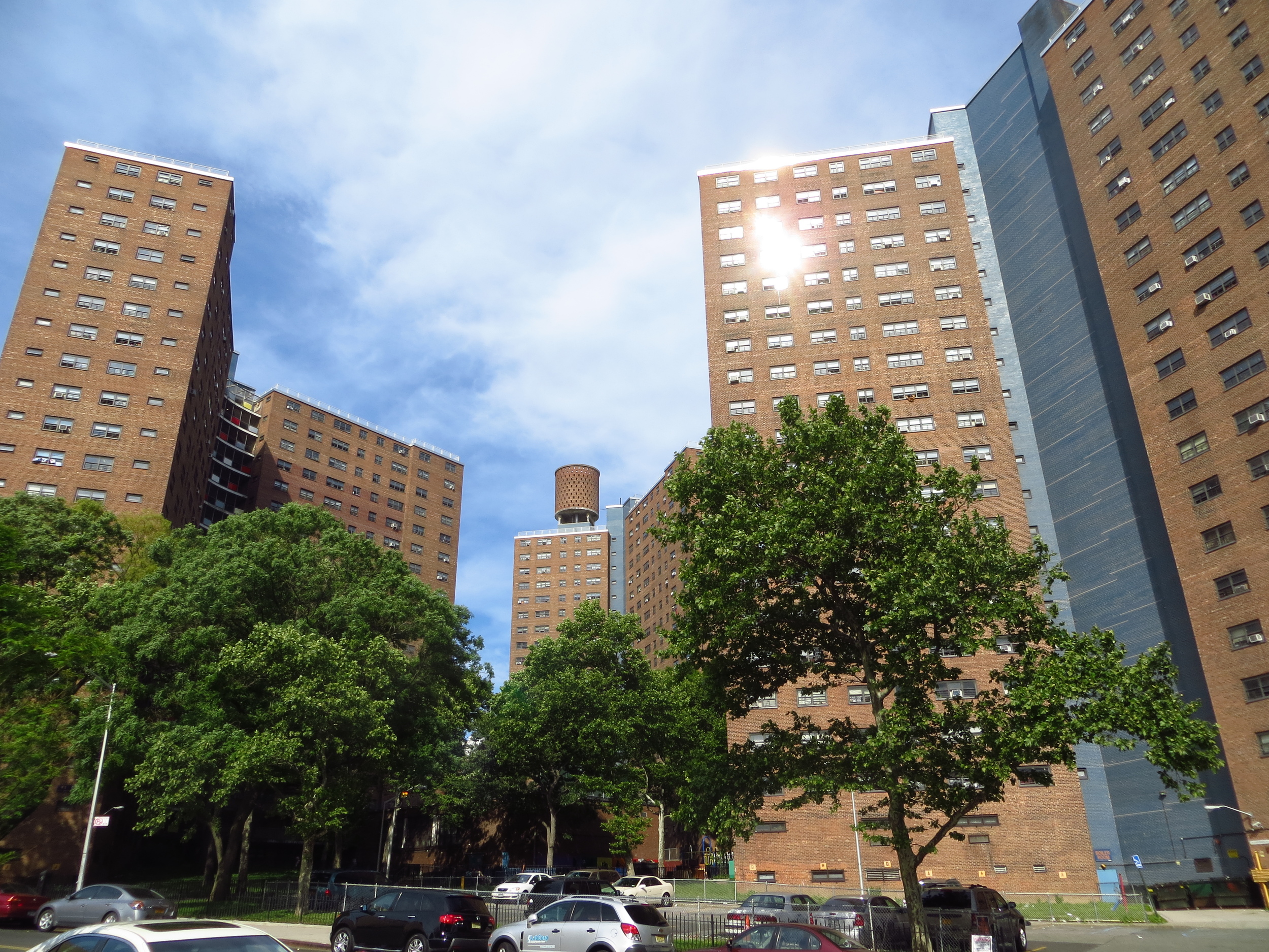
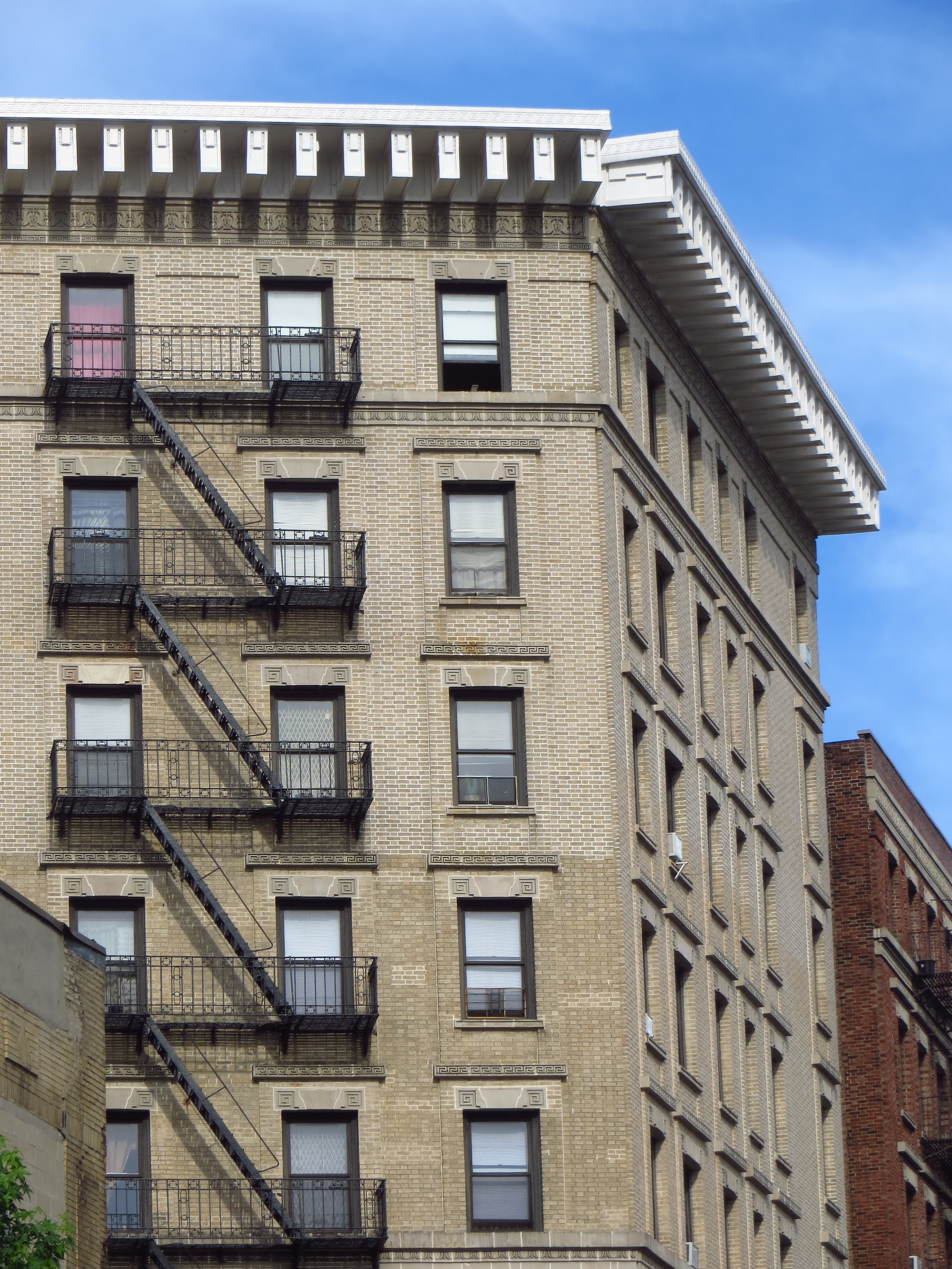
The most prominent feature of the neighborhood (I think) are the massive apartment buildings, most of which serve low income tenants. One notable building is Riverside Park Community on Broadway between W. 133rd St. and W. 135th St. The privately owned apartment complex was built in 1976 and was the largest residential building in the US at the time of its completion. It has 1,200 units and more than 4,000 residents and I read somewhere that it comprises its own census tract.
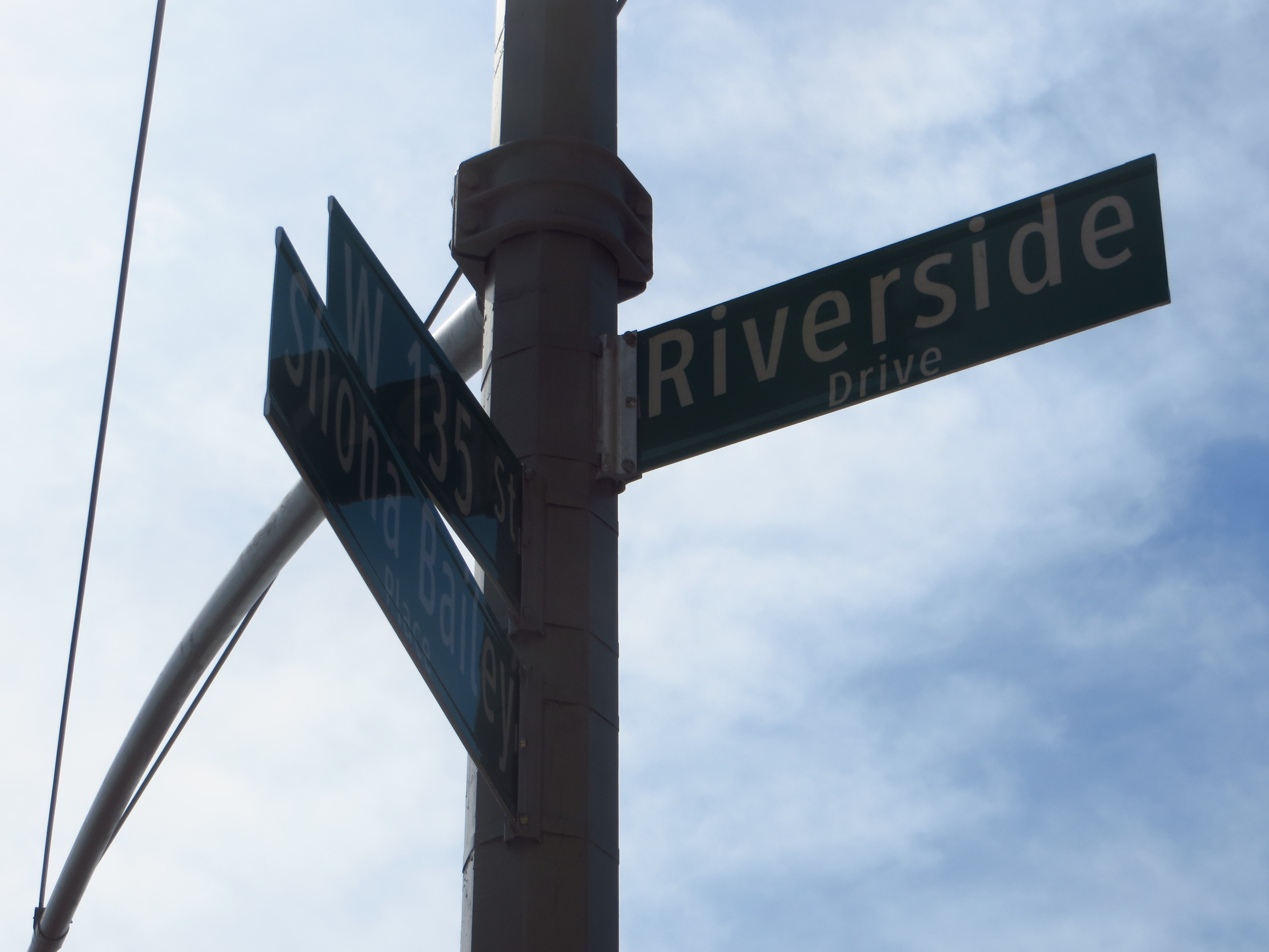
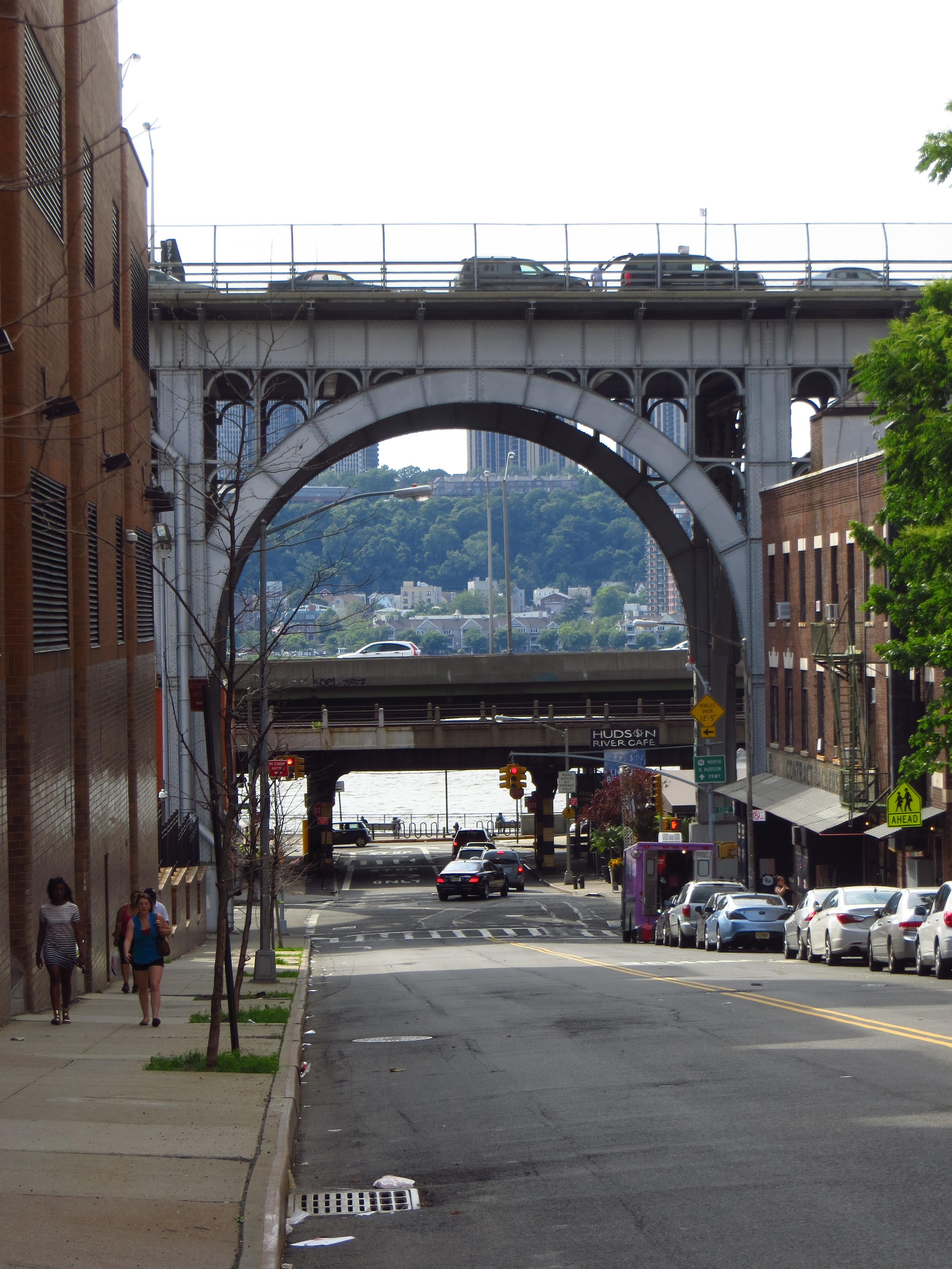
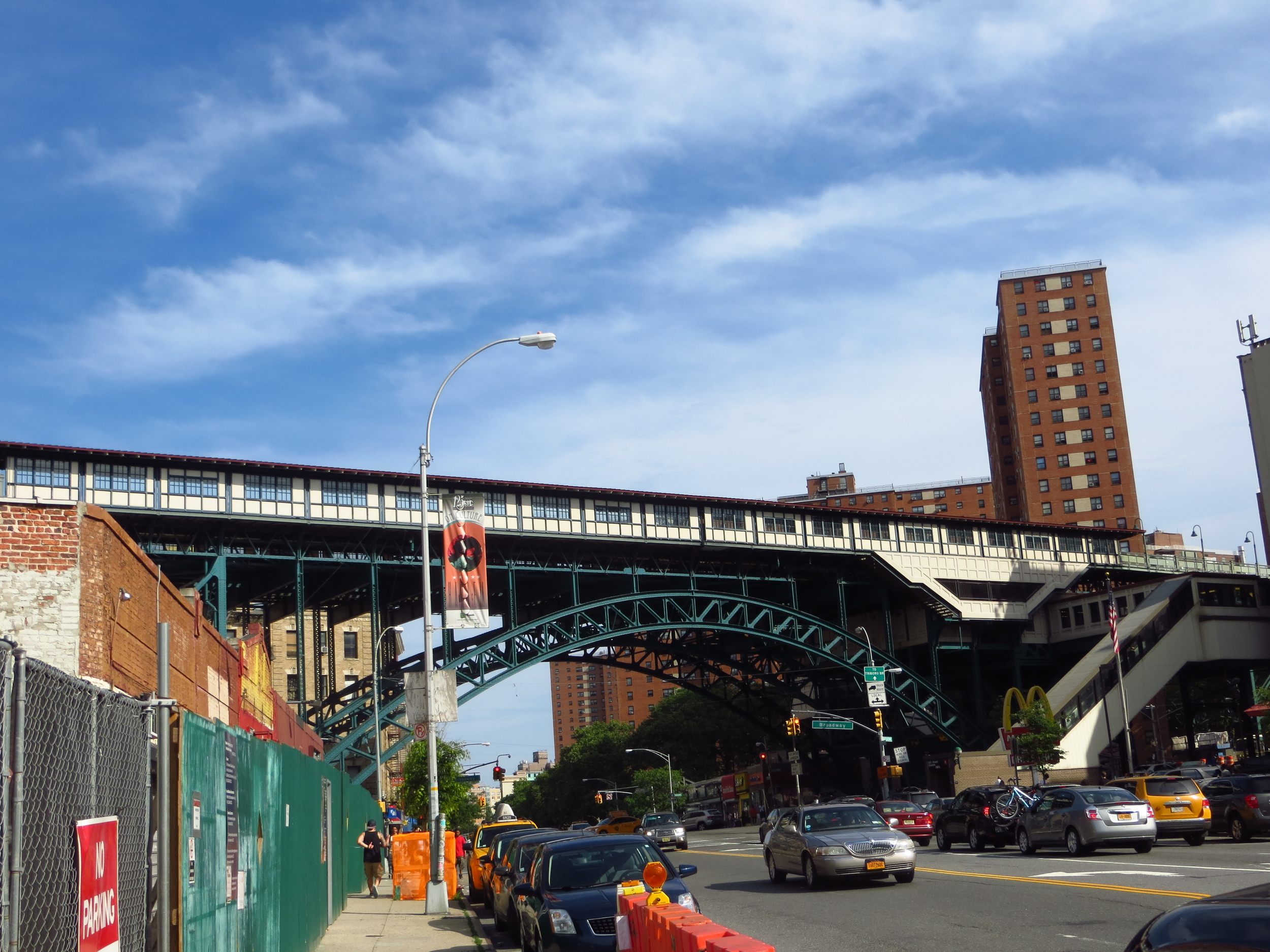
Other notable feature of the neighborhood include the Manhattanville viaduct, an elevated section of Riverside Drive that spans the valley, connecting W. 125th St. to W. 135th St., and the elevated portion of the 1 subway train / 125th St. subway station (one of the few above ground subway stations on the island).
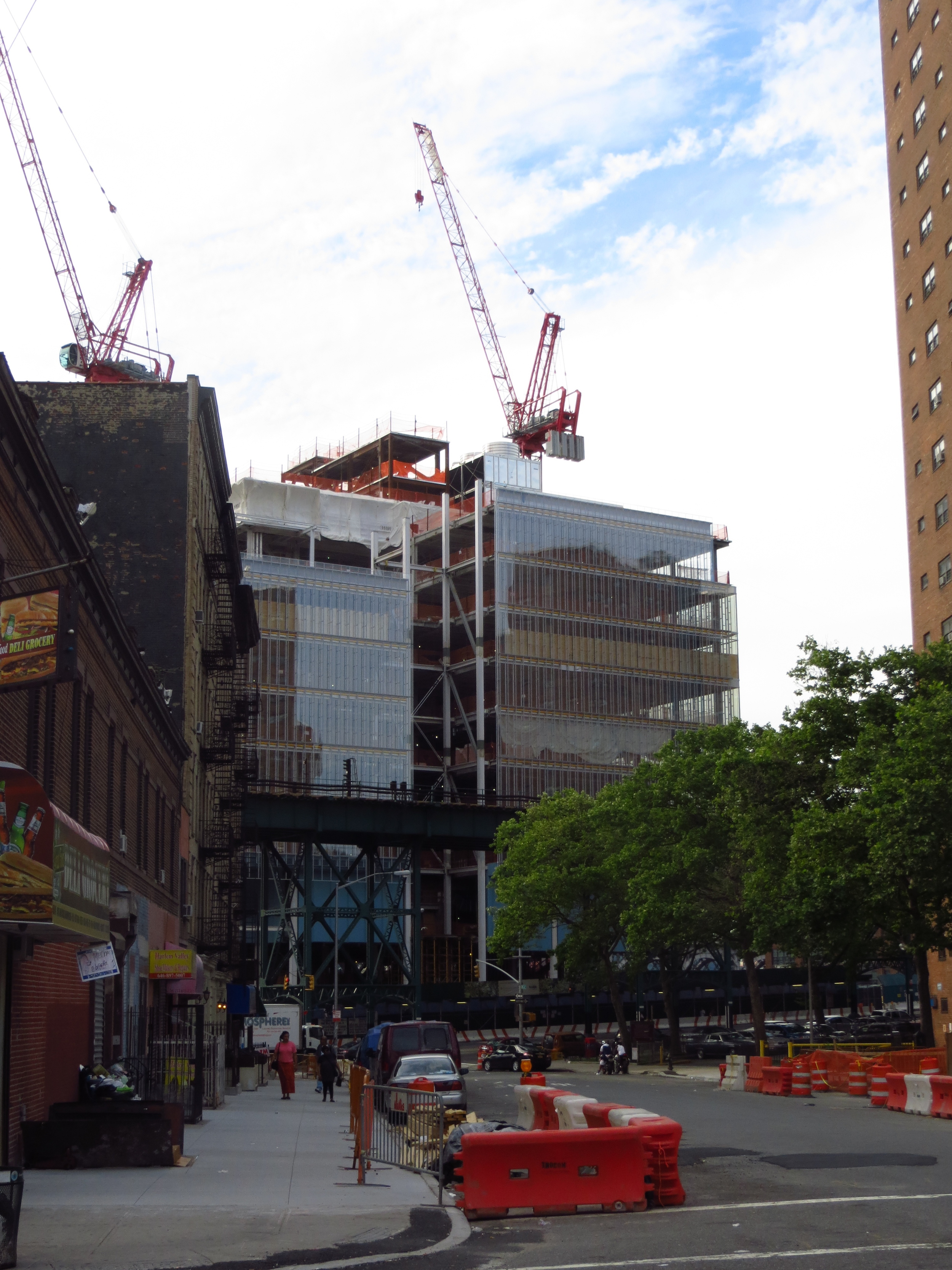
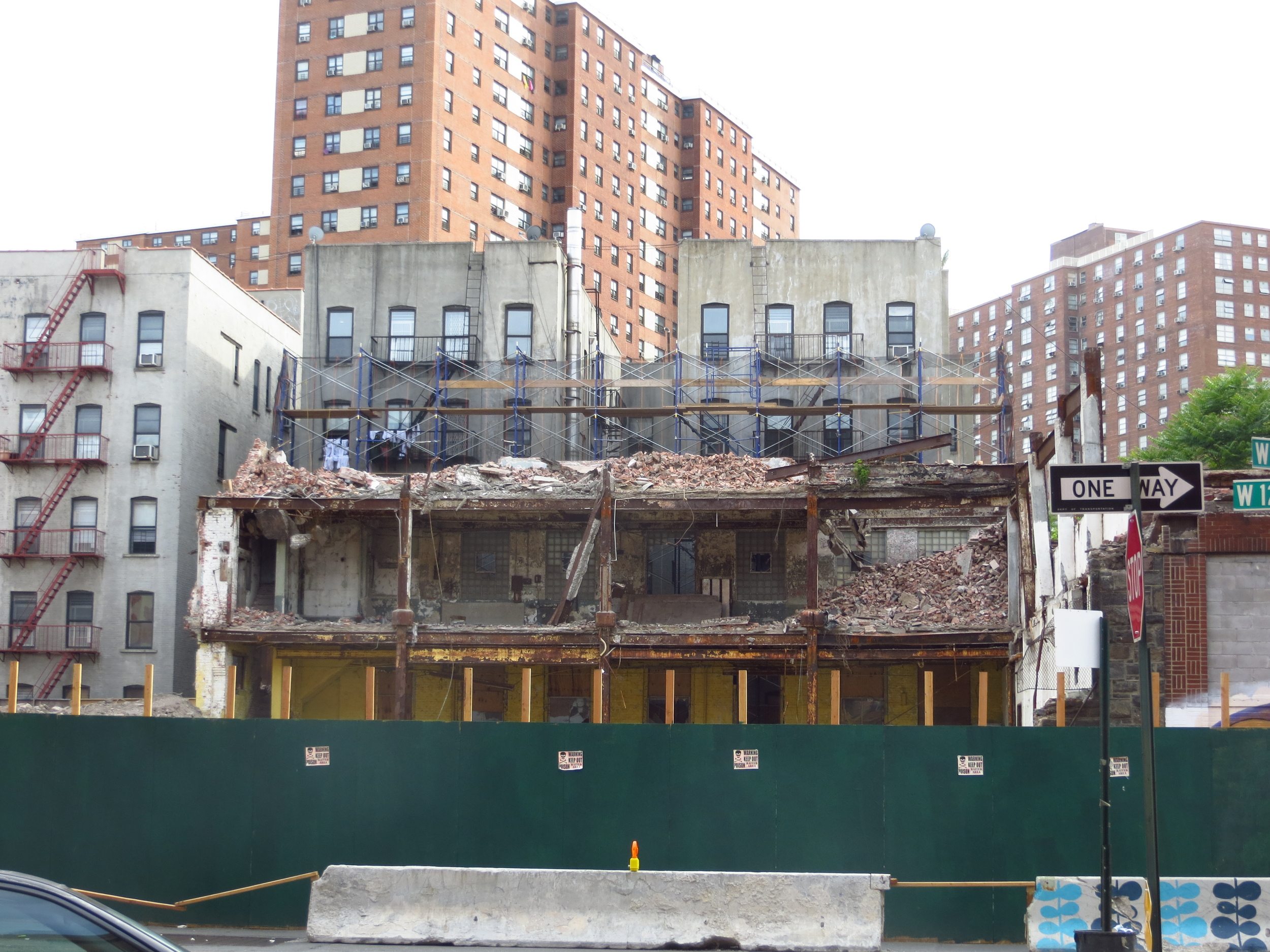
A lot of the area is currently under construction, blocking off some of the streets. Apparently Columbia University (to the south in Morningside Heights) is working on a massive project to expand its campus further north. The project includes new buildings for their business school, school of the arts, as well as a new research center dedicated to studying neurological diseases. And probably three or four Starbucks.
