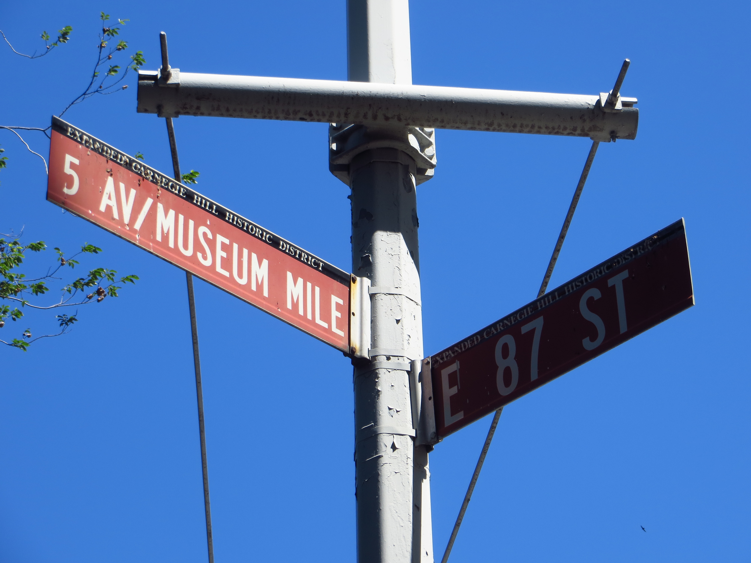
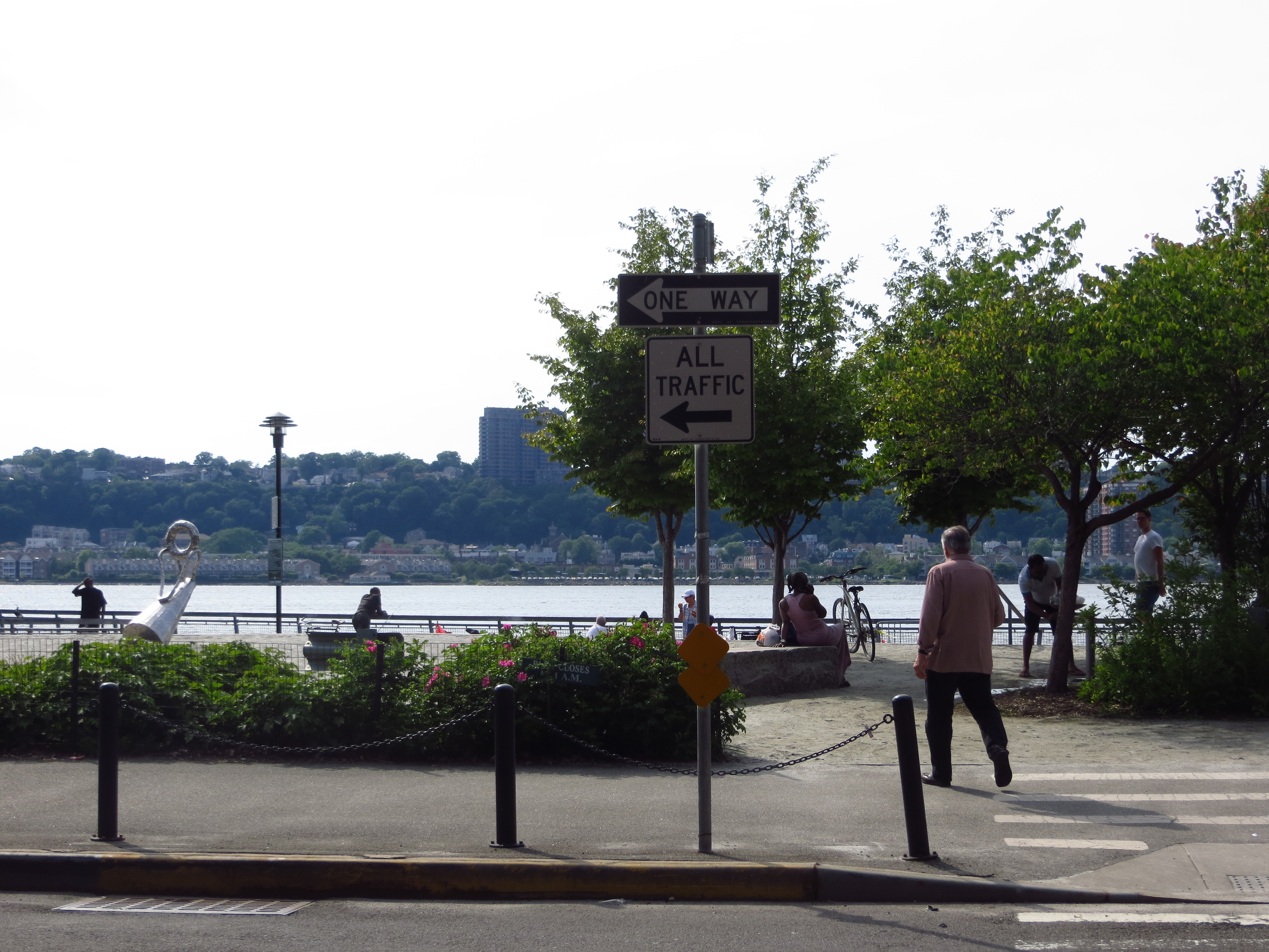
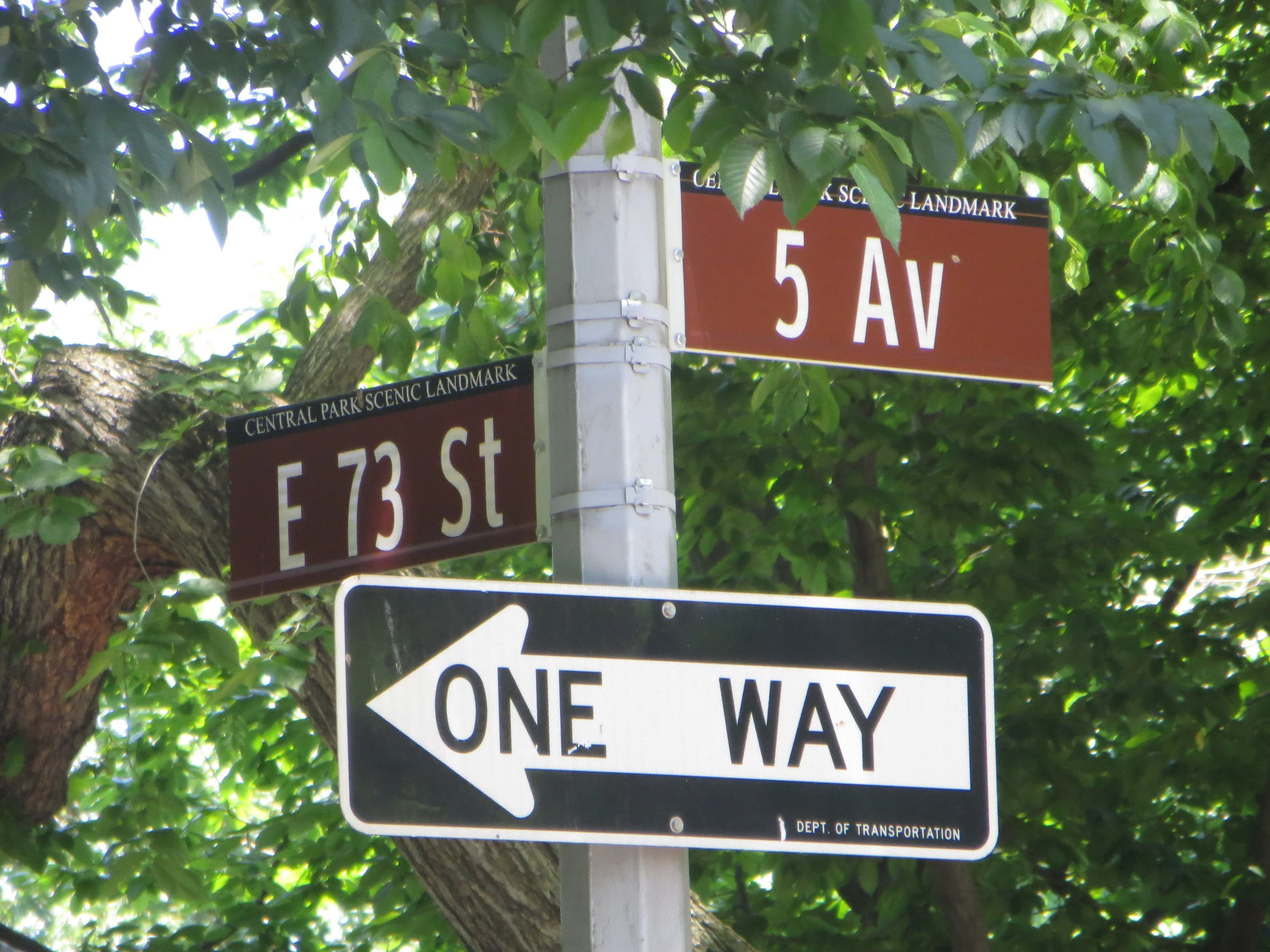
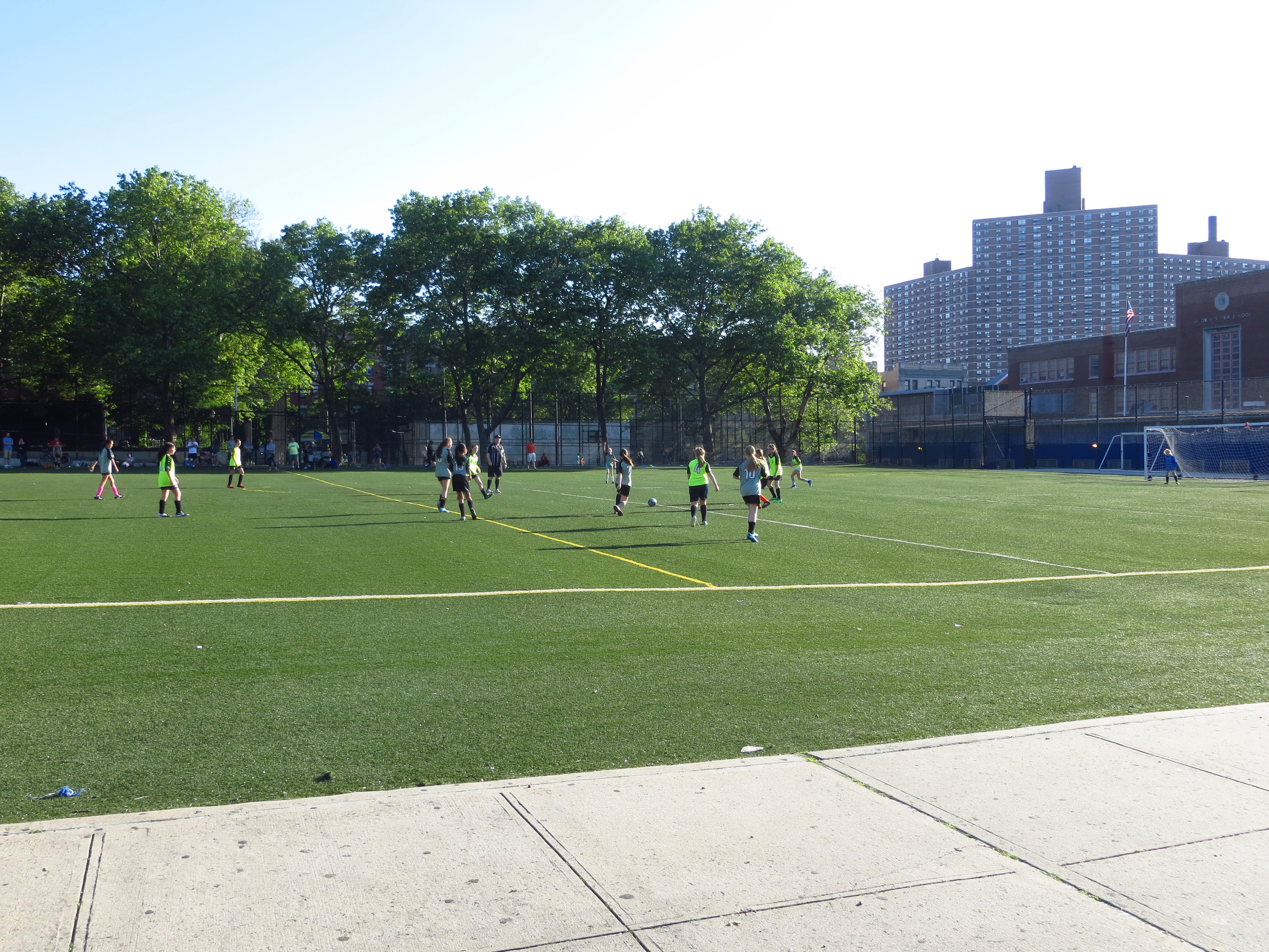
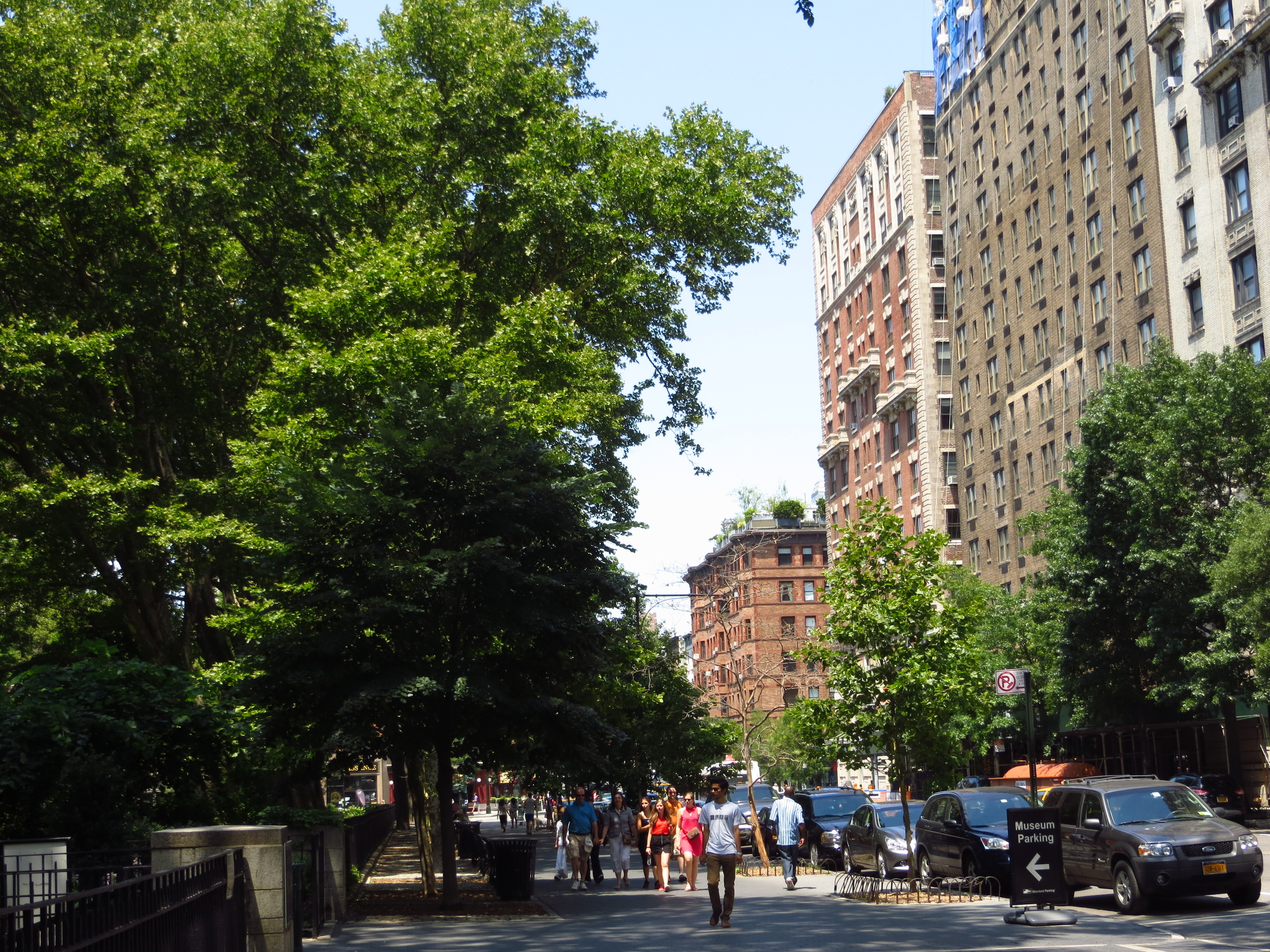
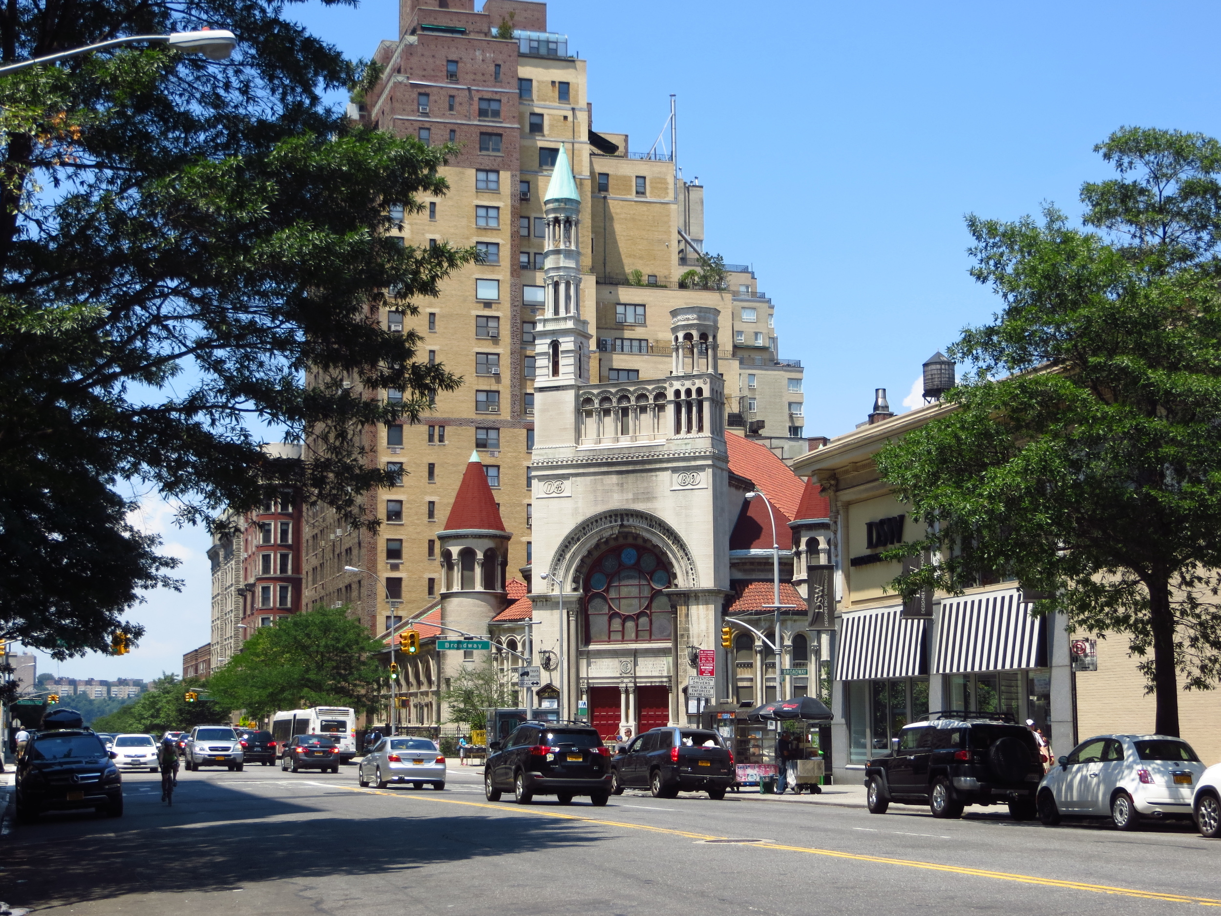
Upper West Side (South)

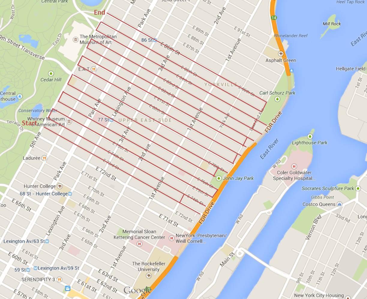
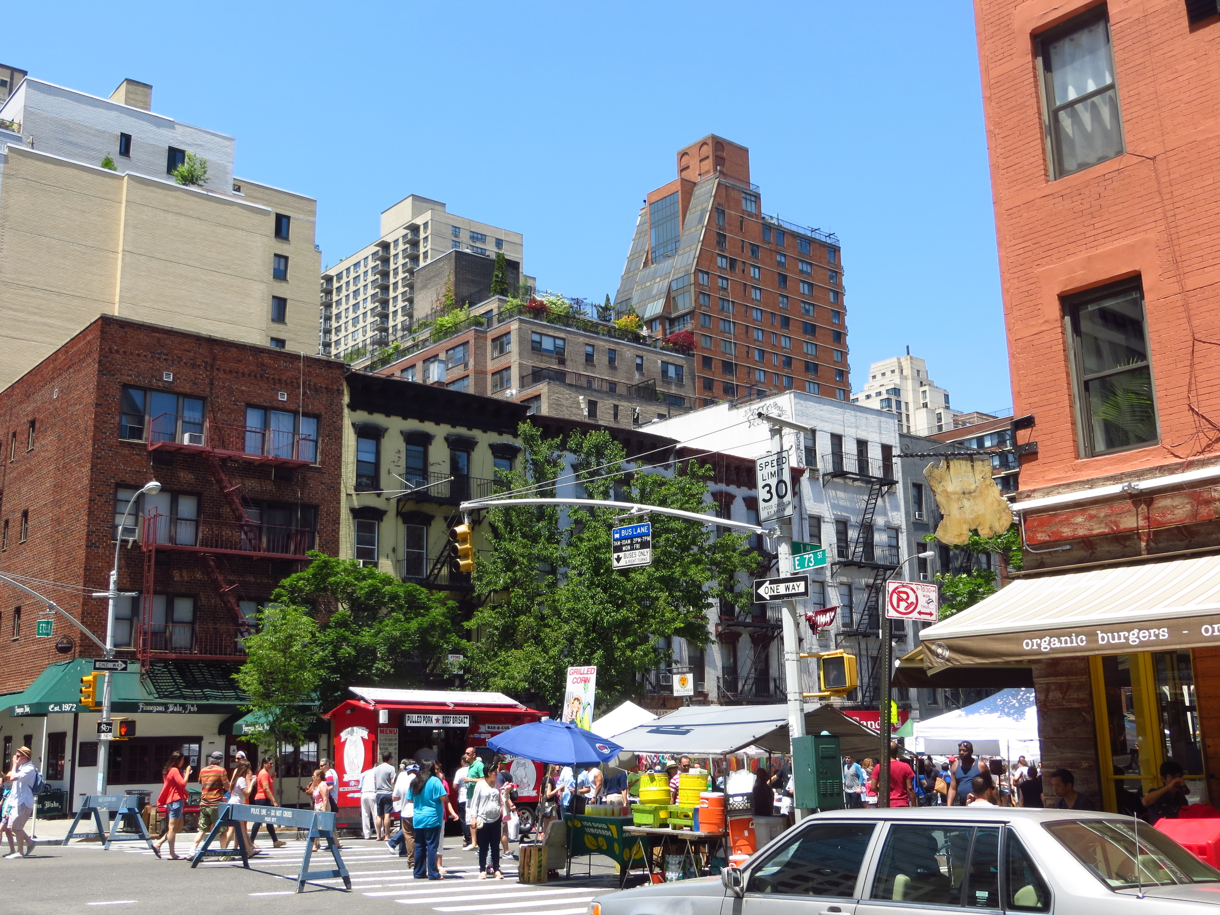
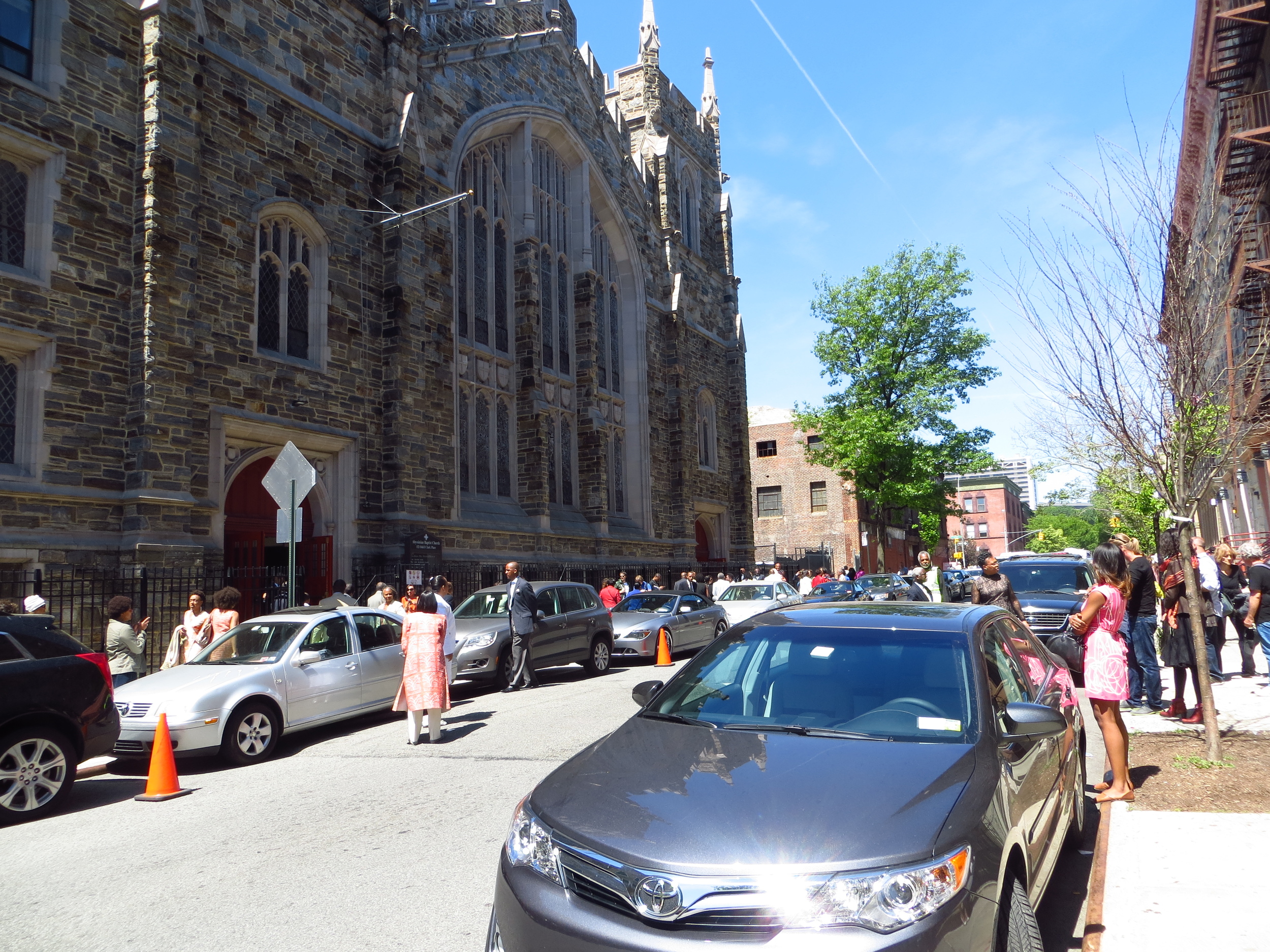
I finished off the Upper West Side ("UWS") today, going from W. 82nd St. to W 60th St. (about 15 miles).

Today's walk

Today's walk

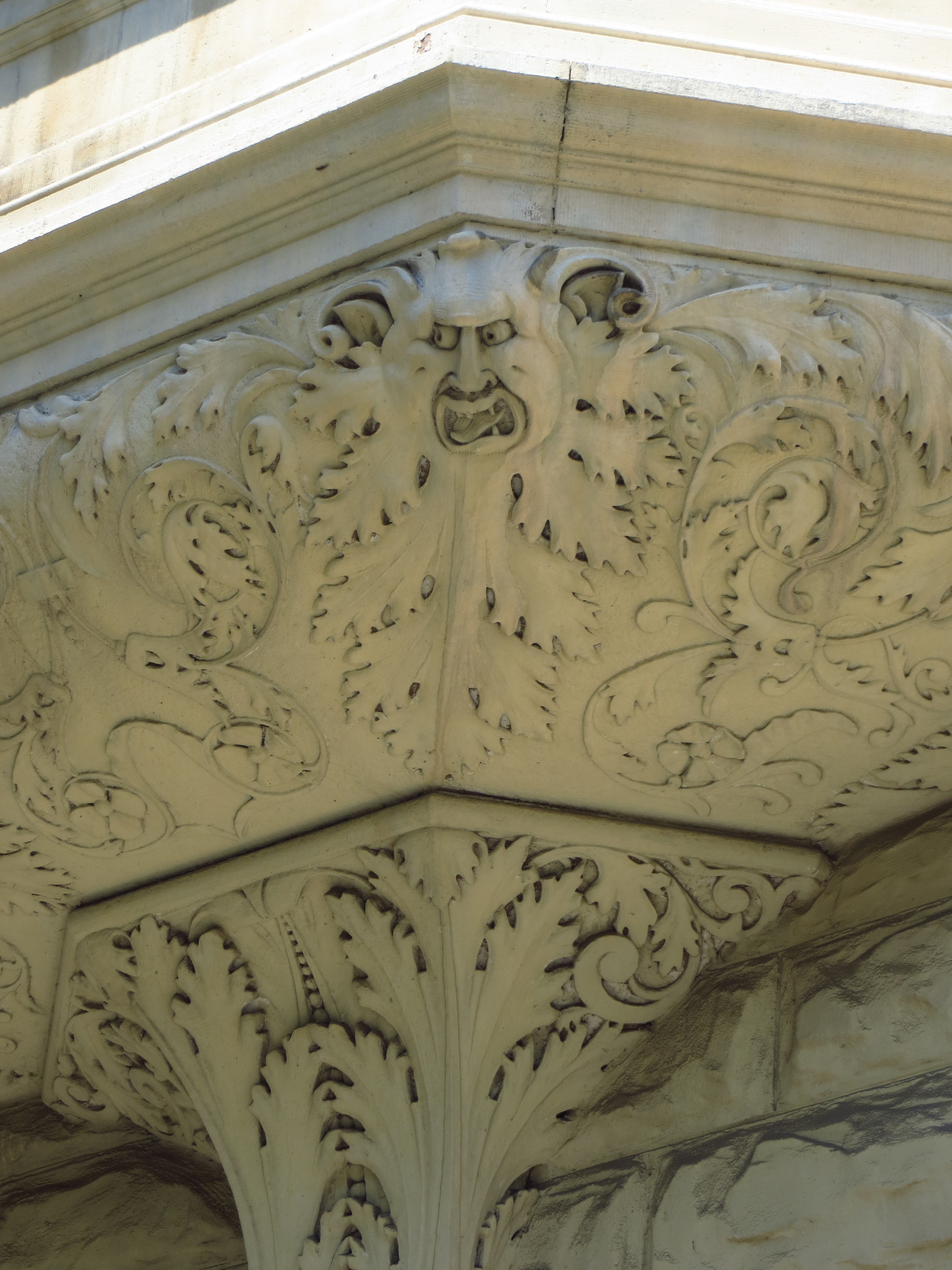
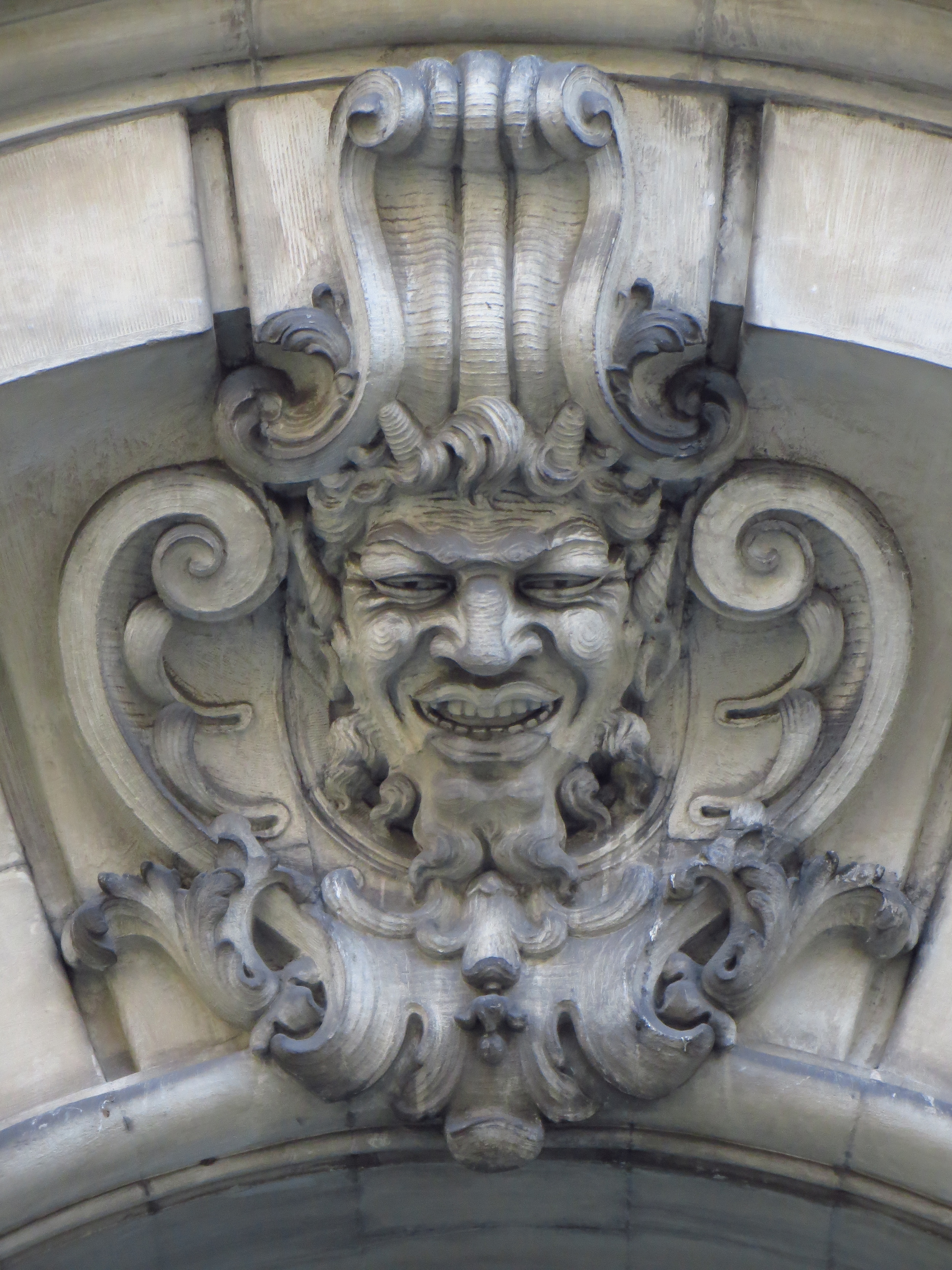
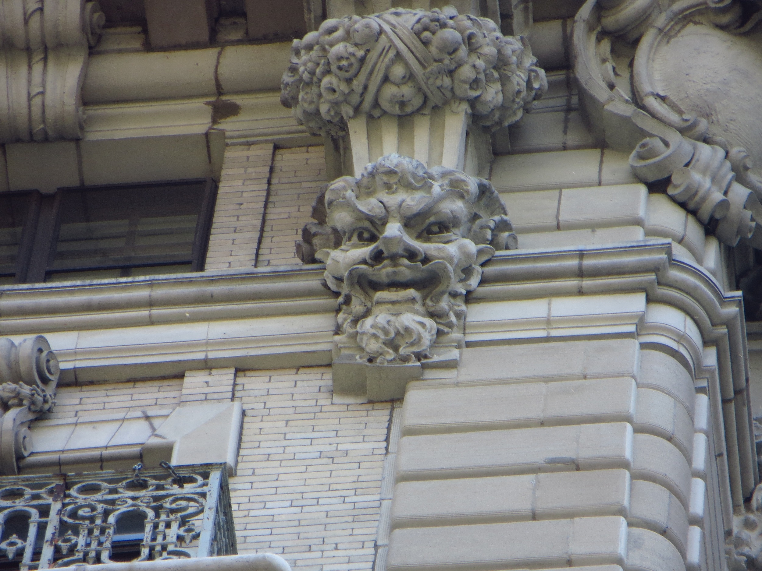
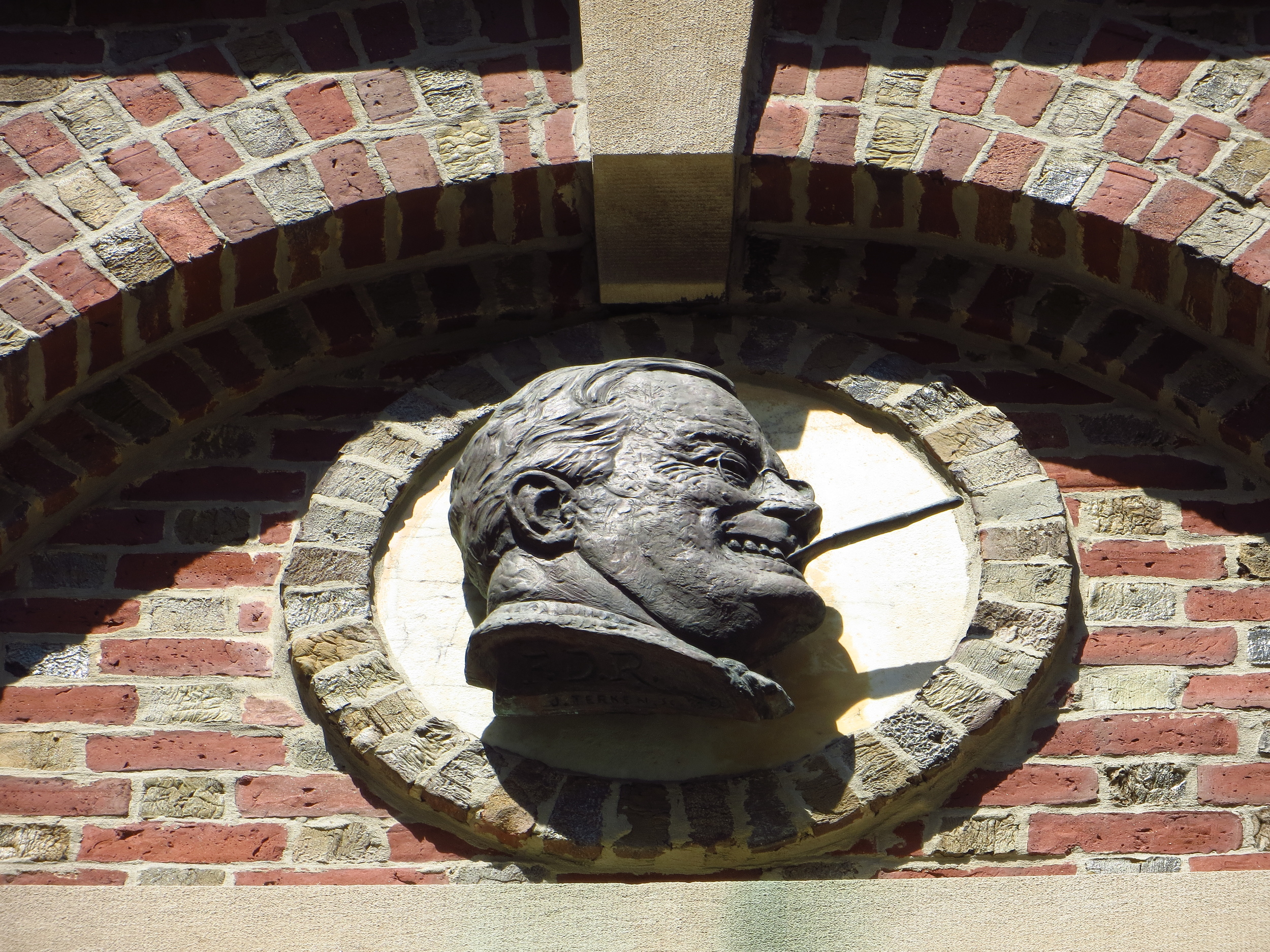
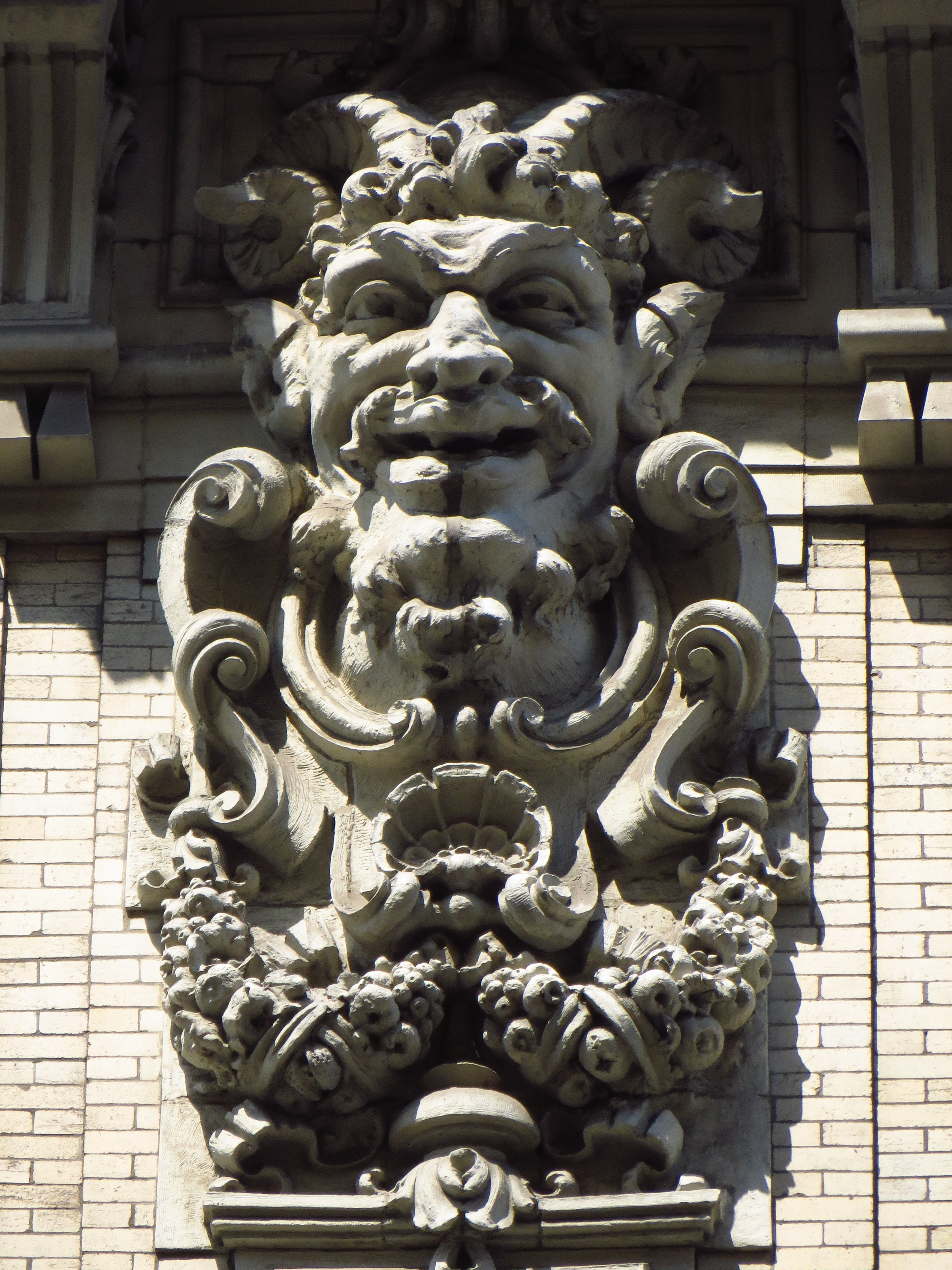
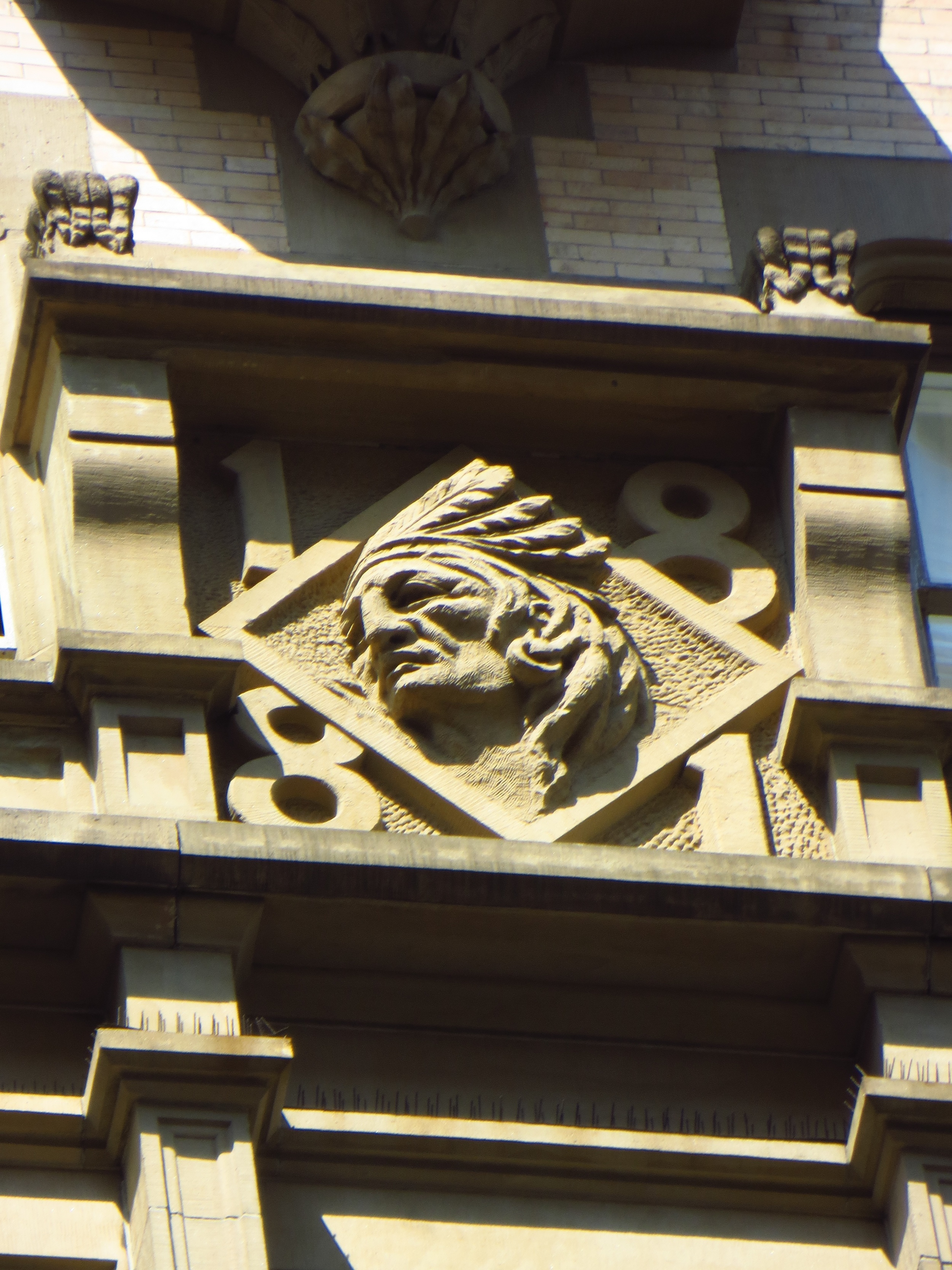
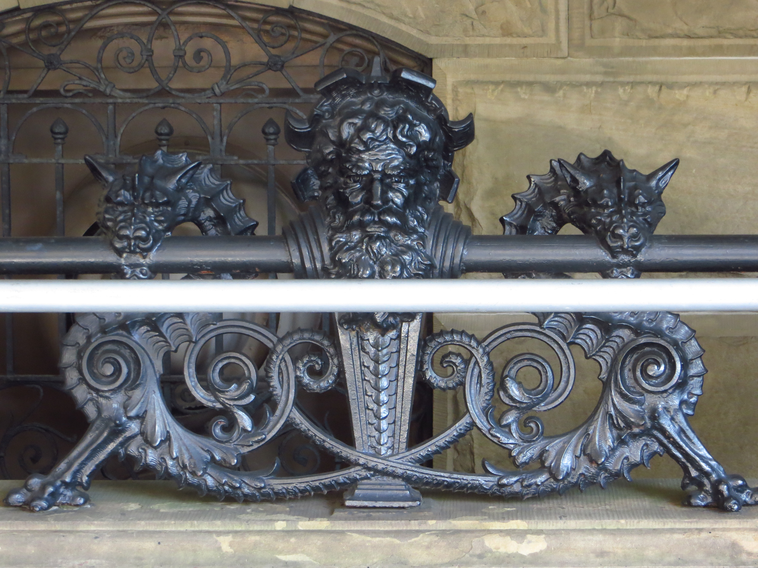
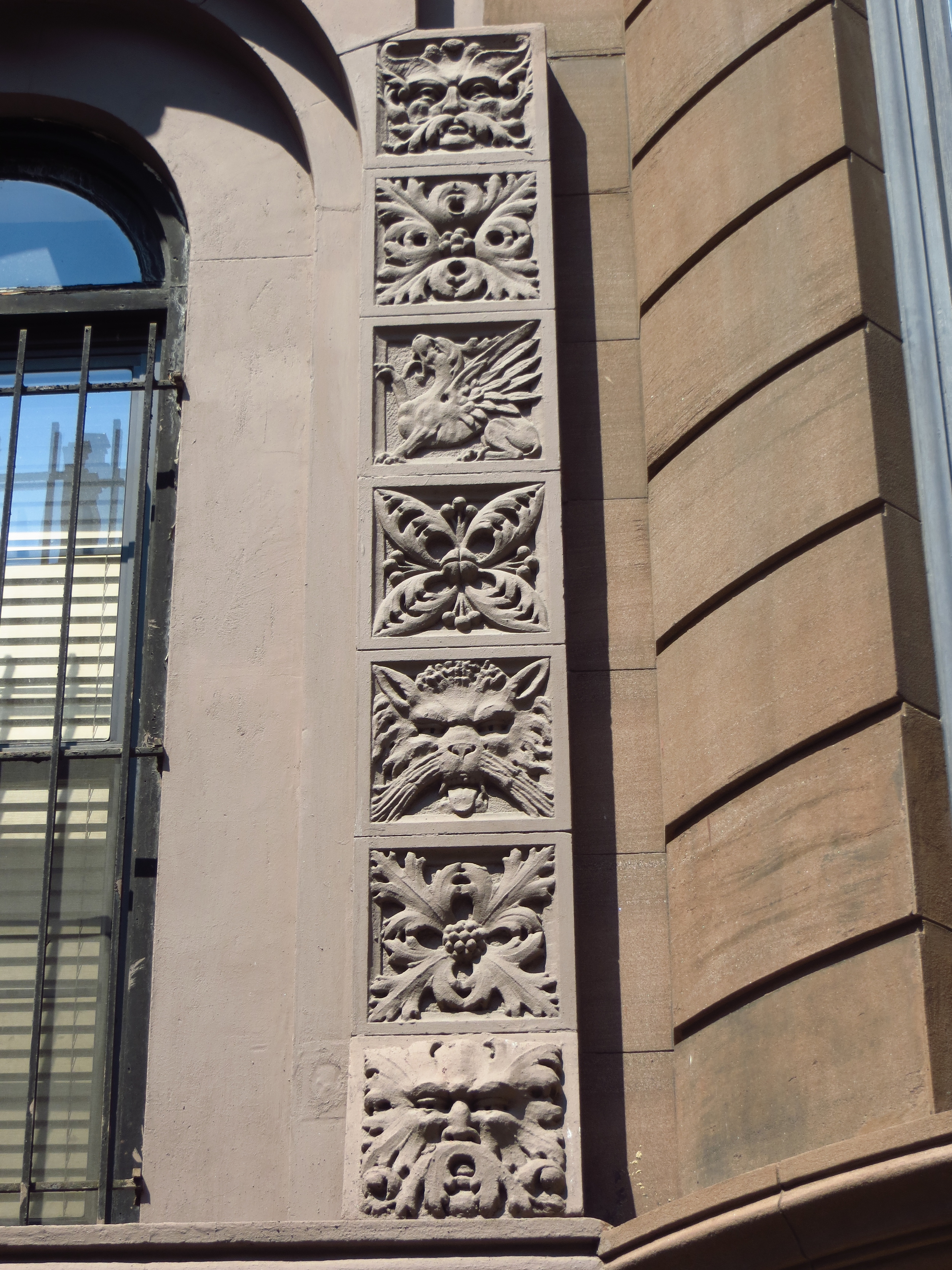
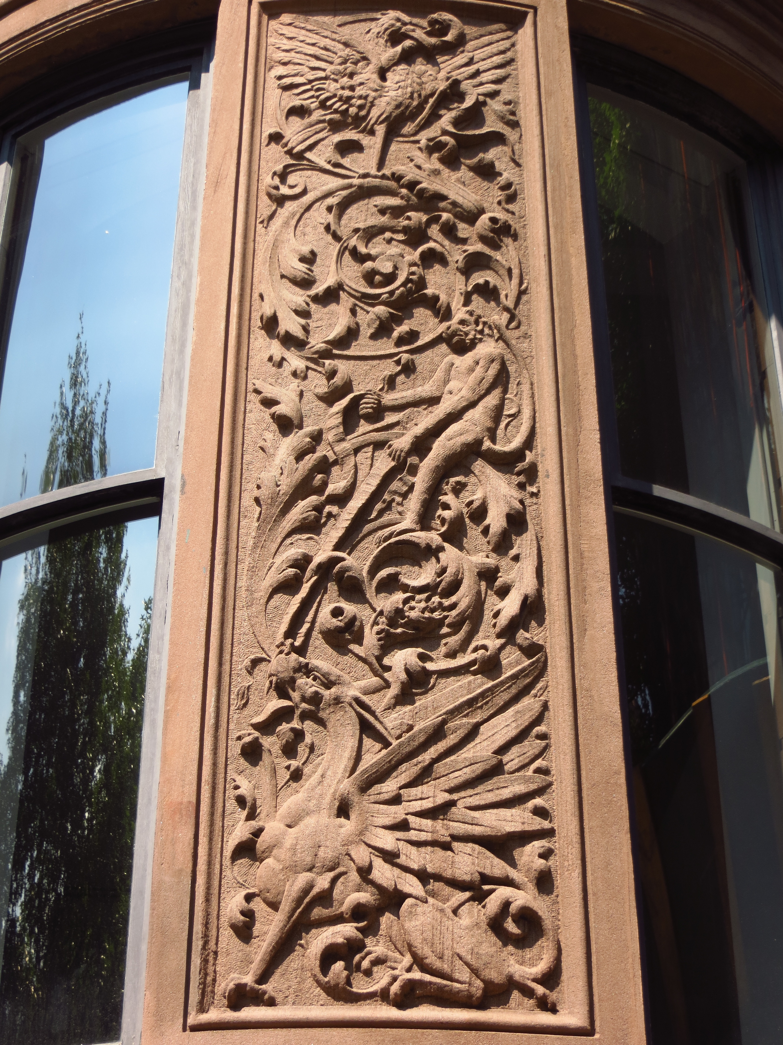
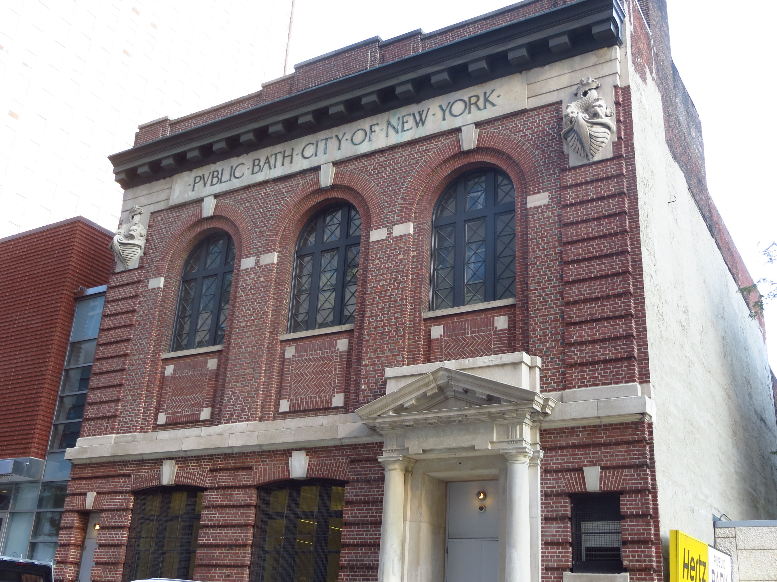
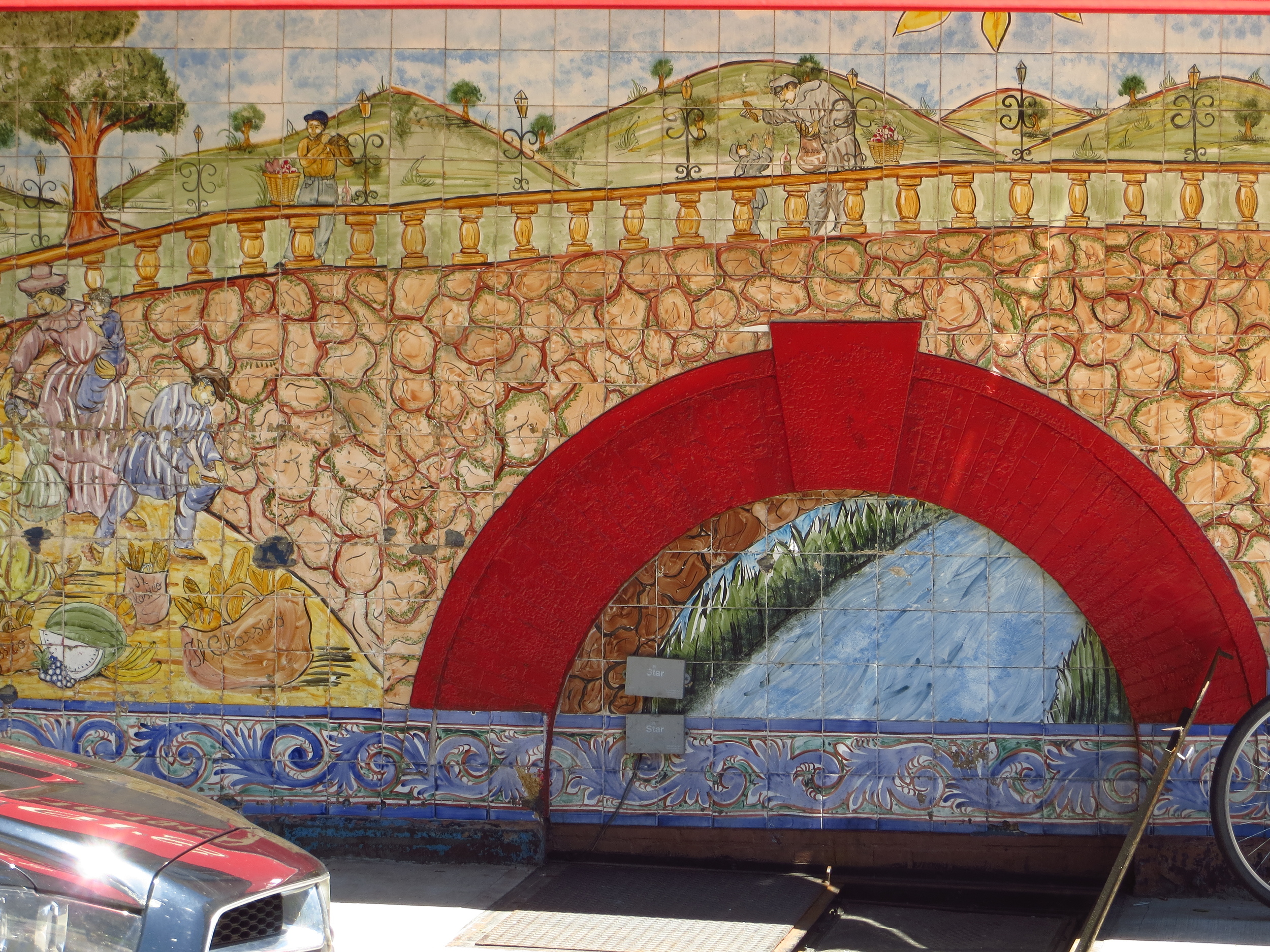
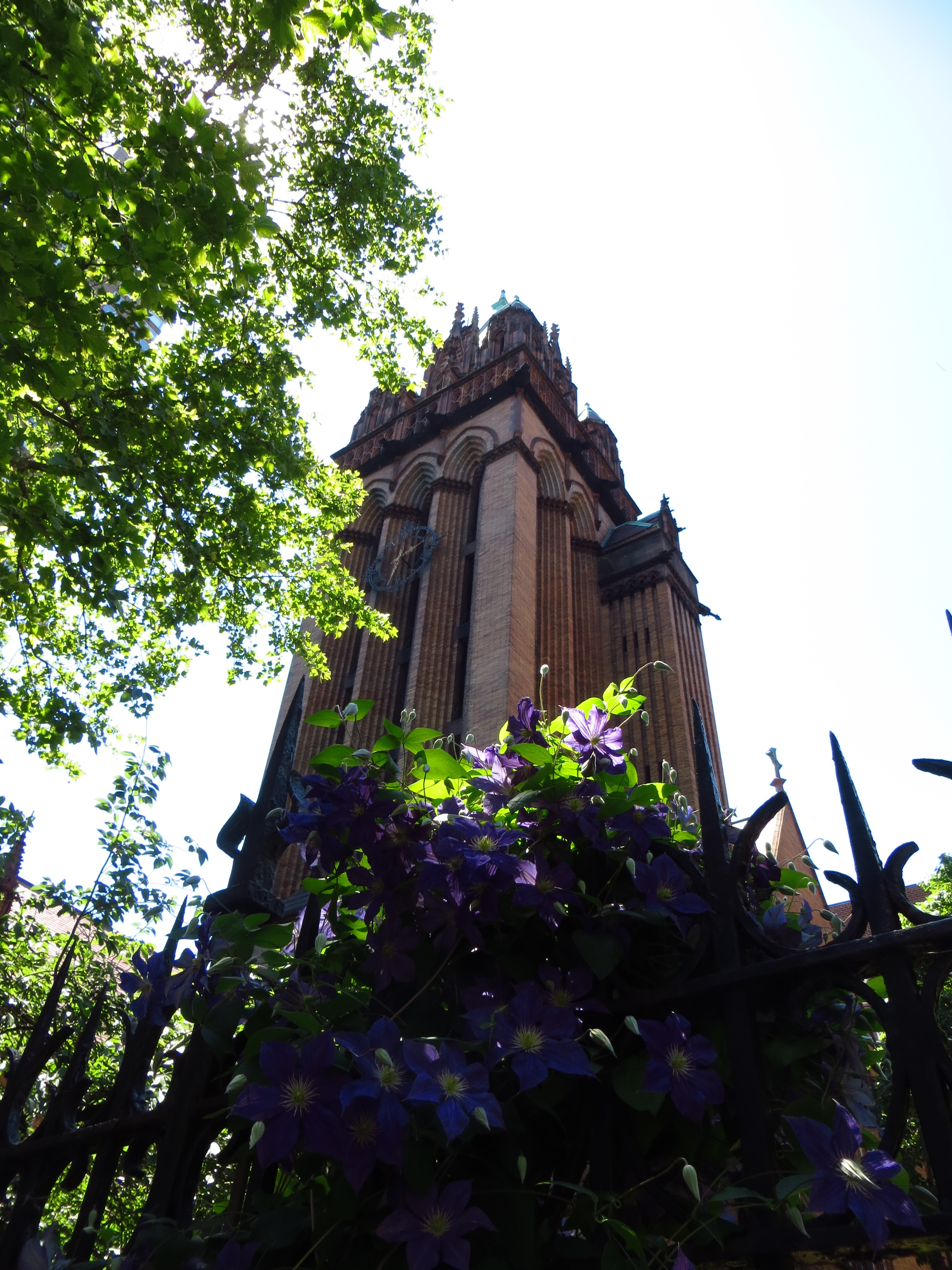
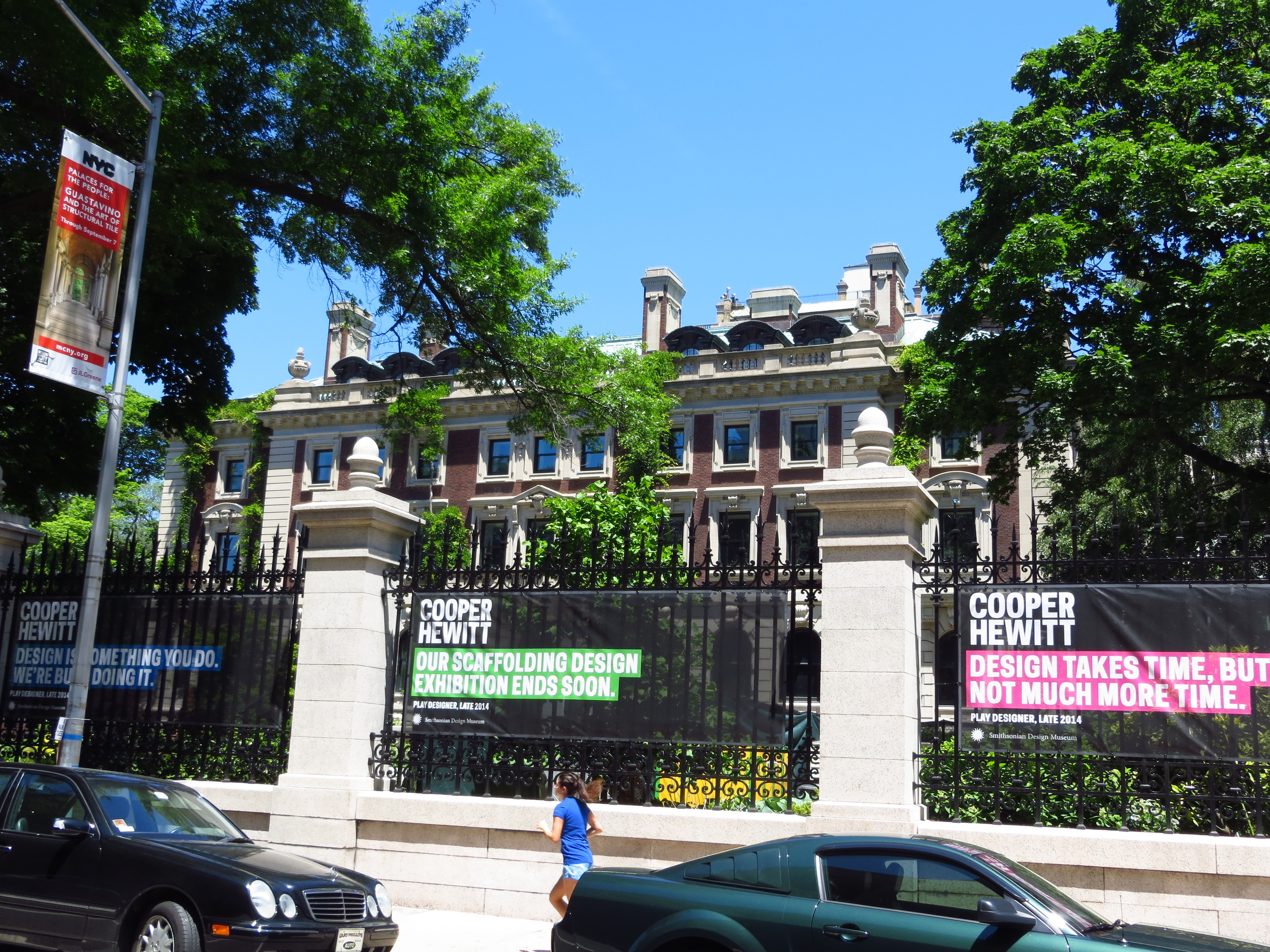
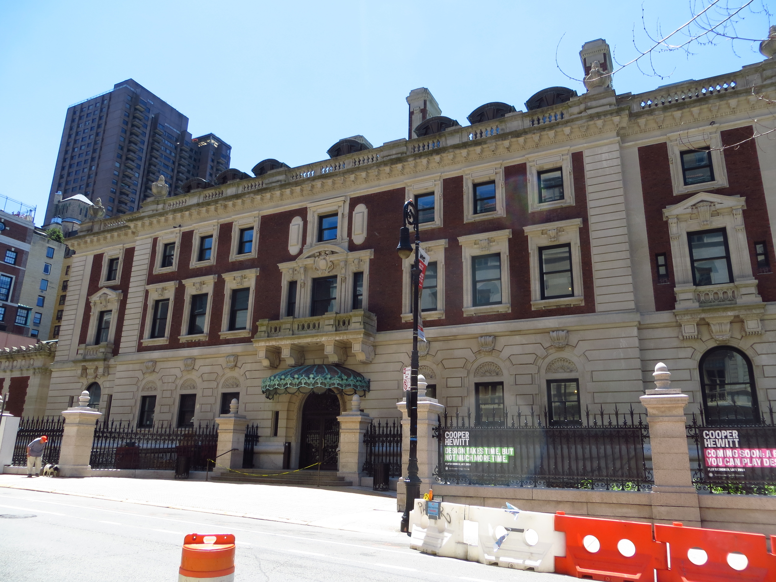
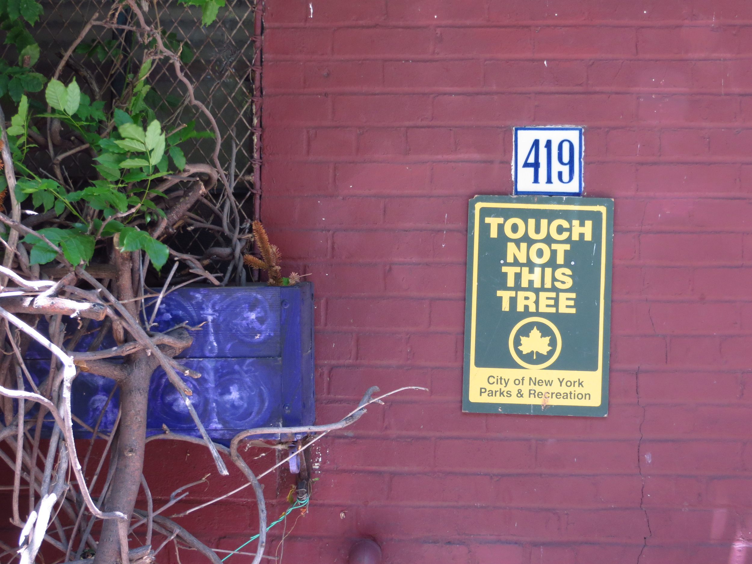
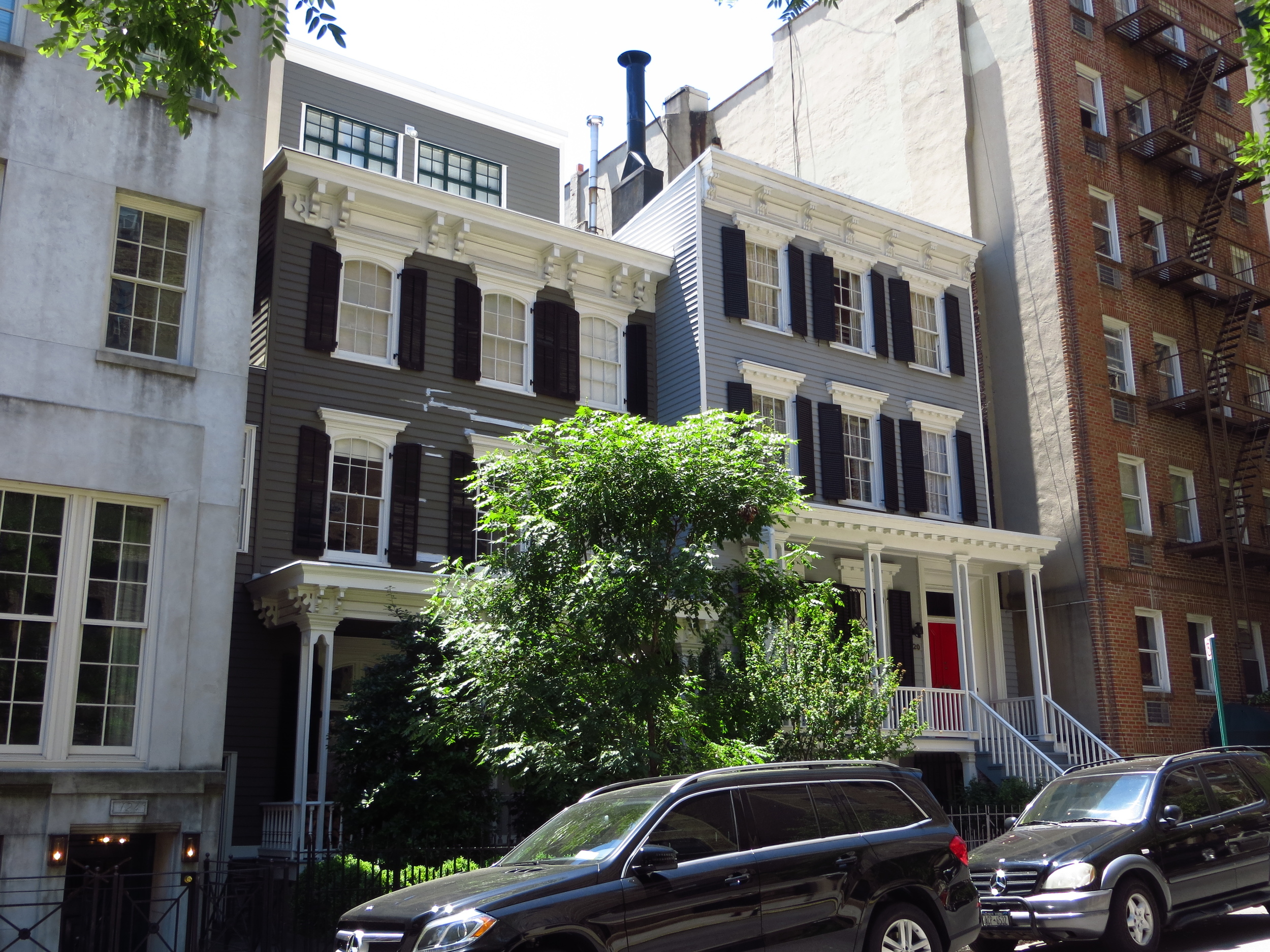
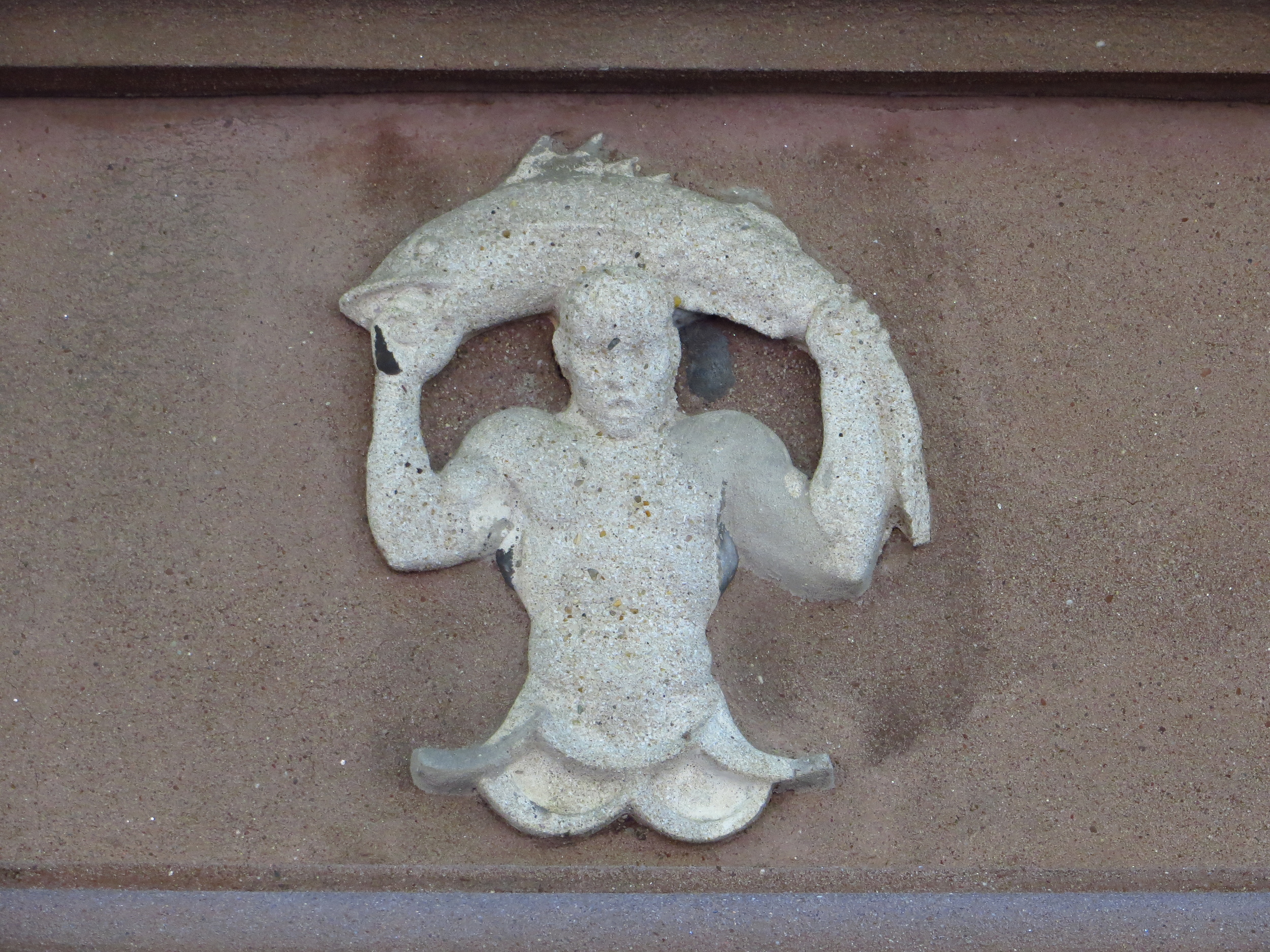
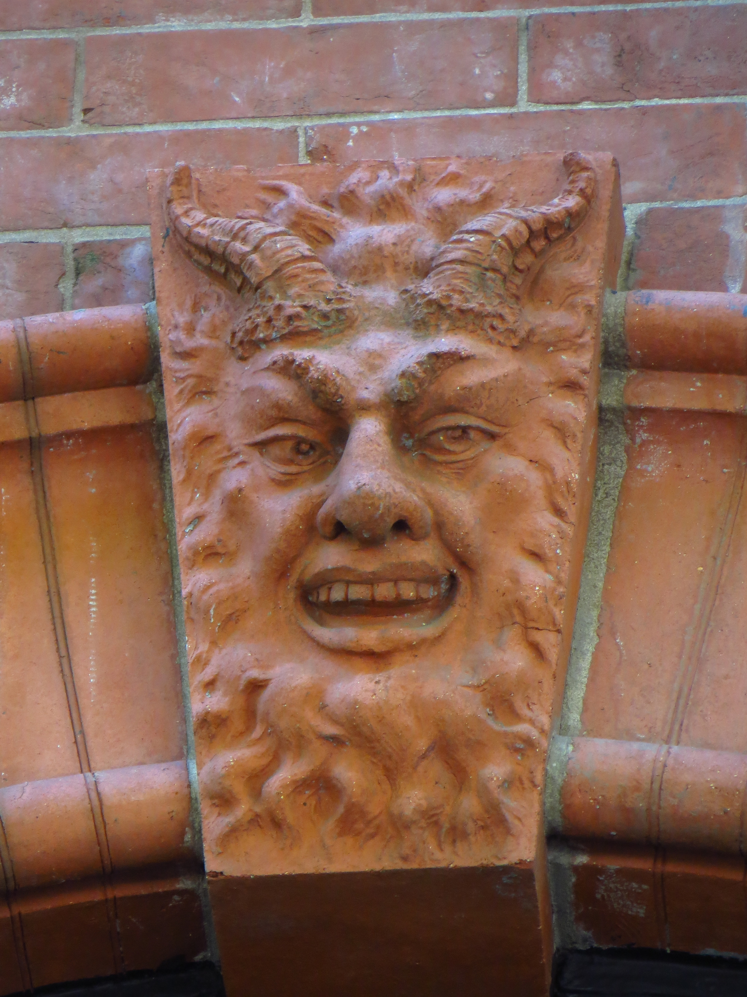
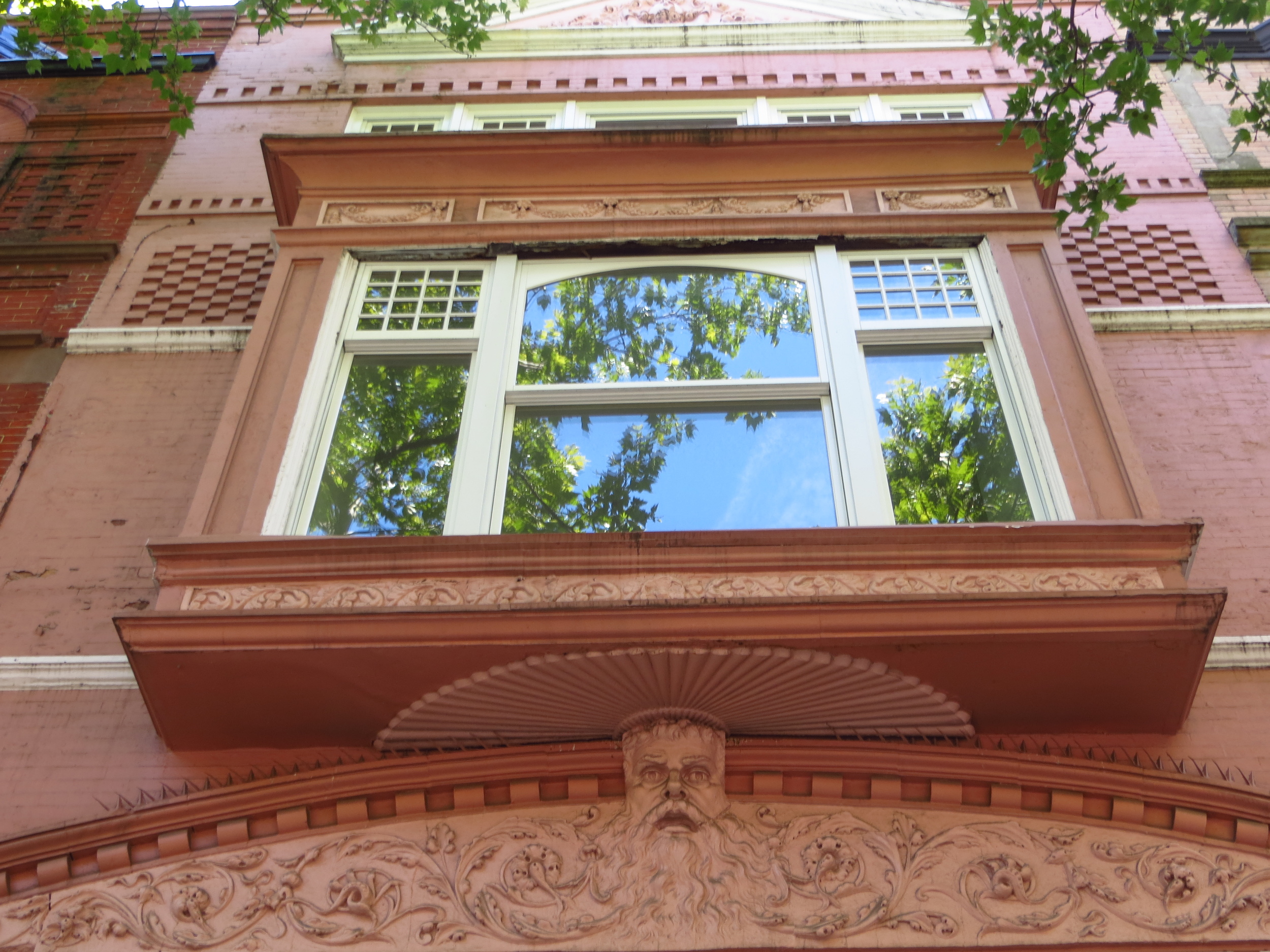
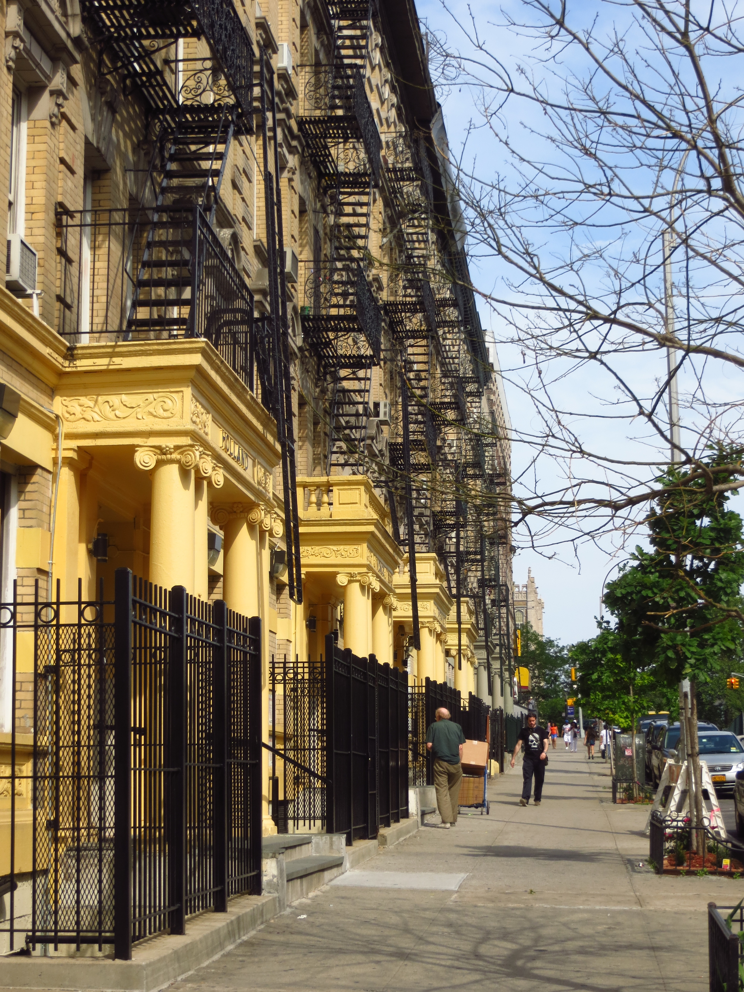
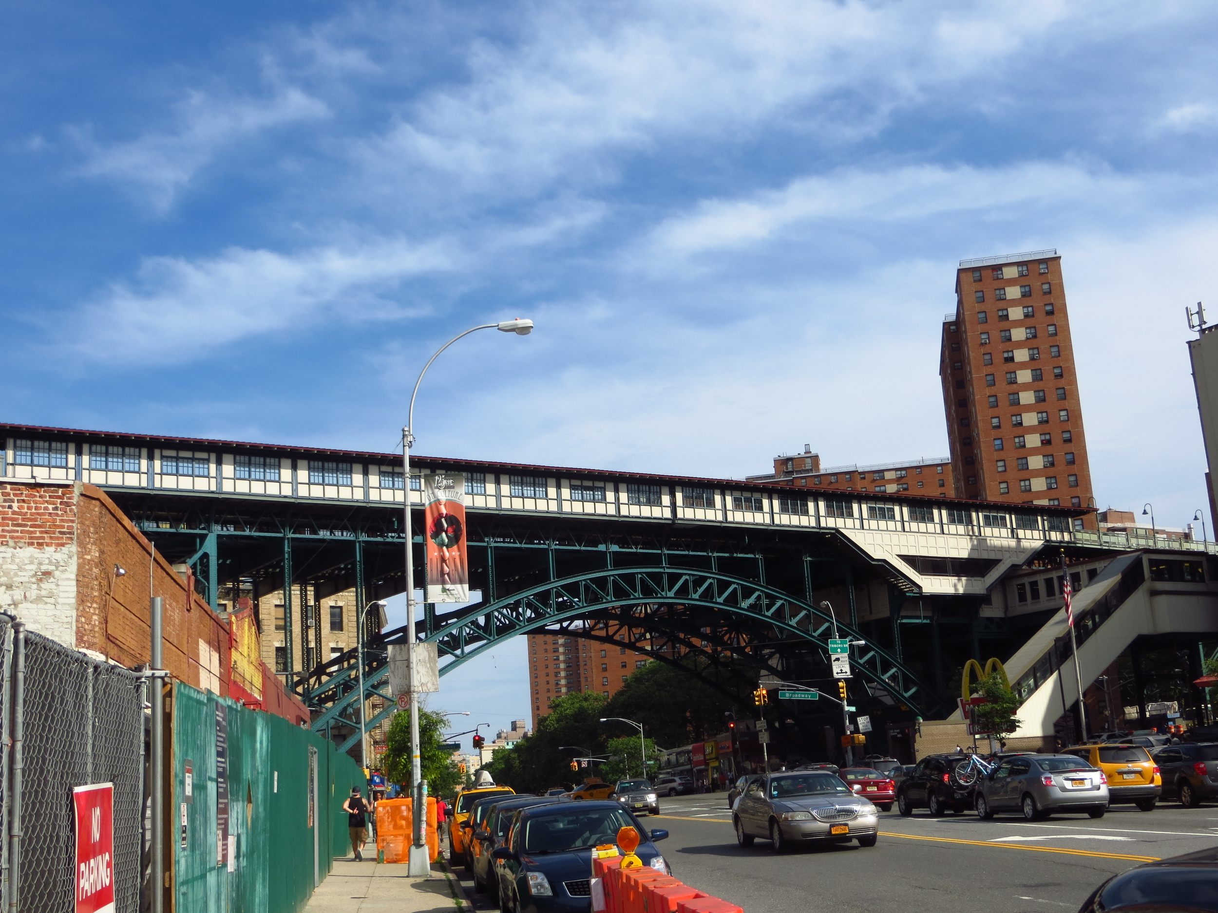
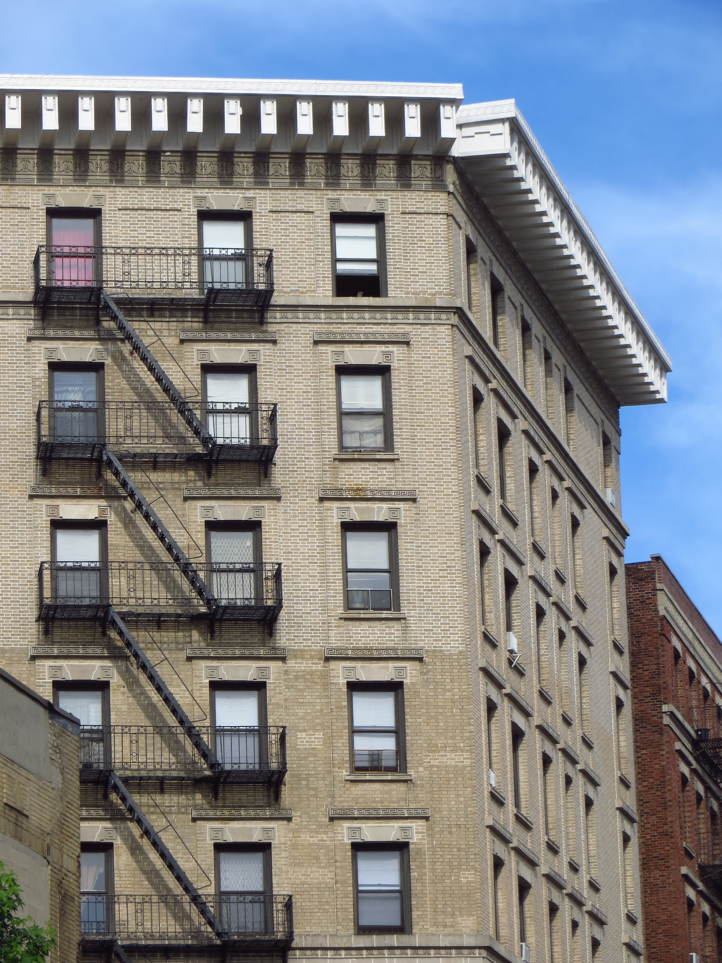
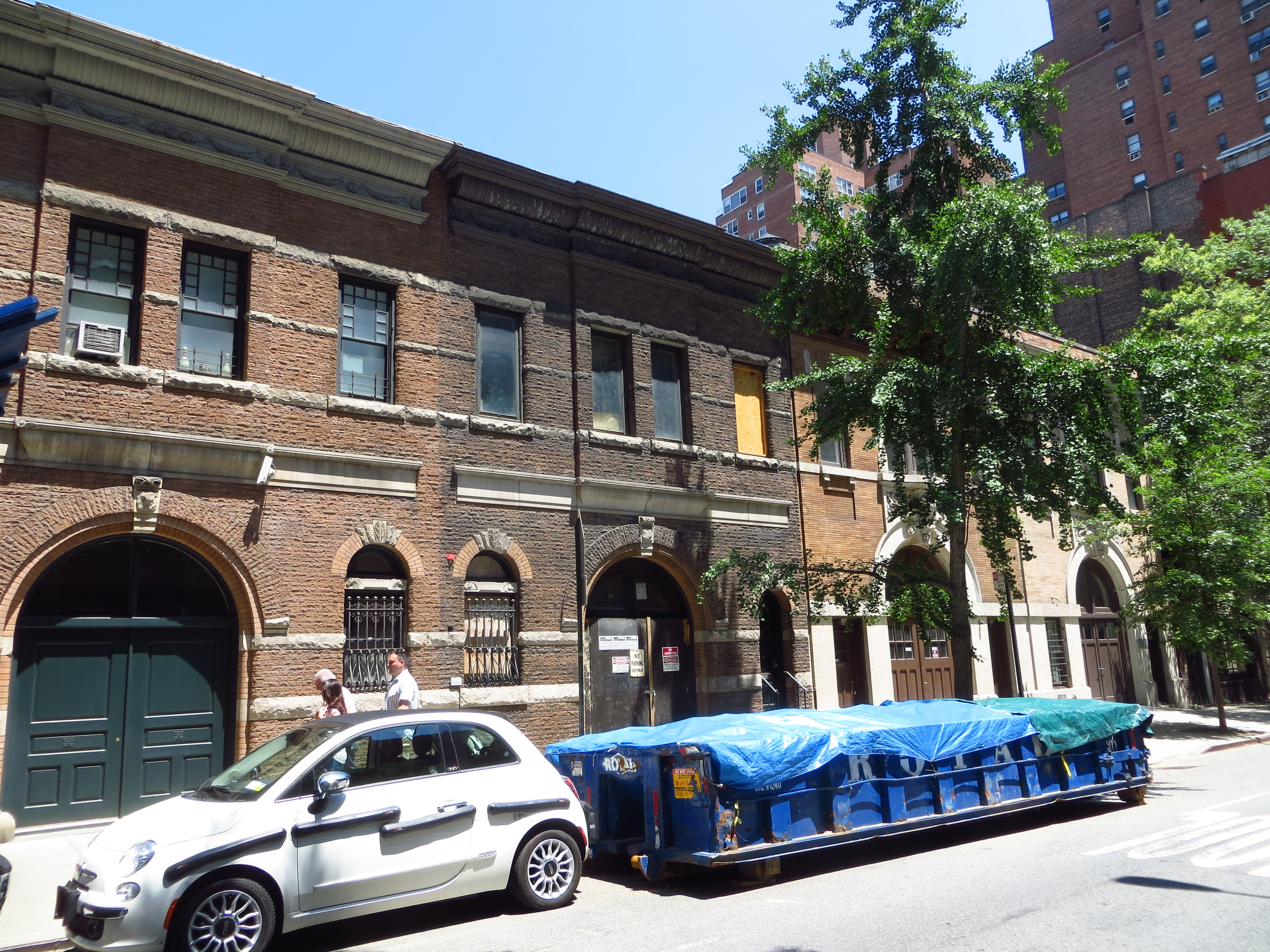
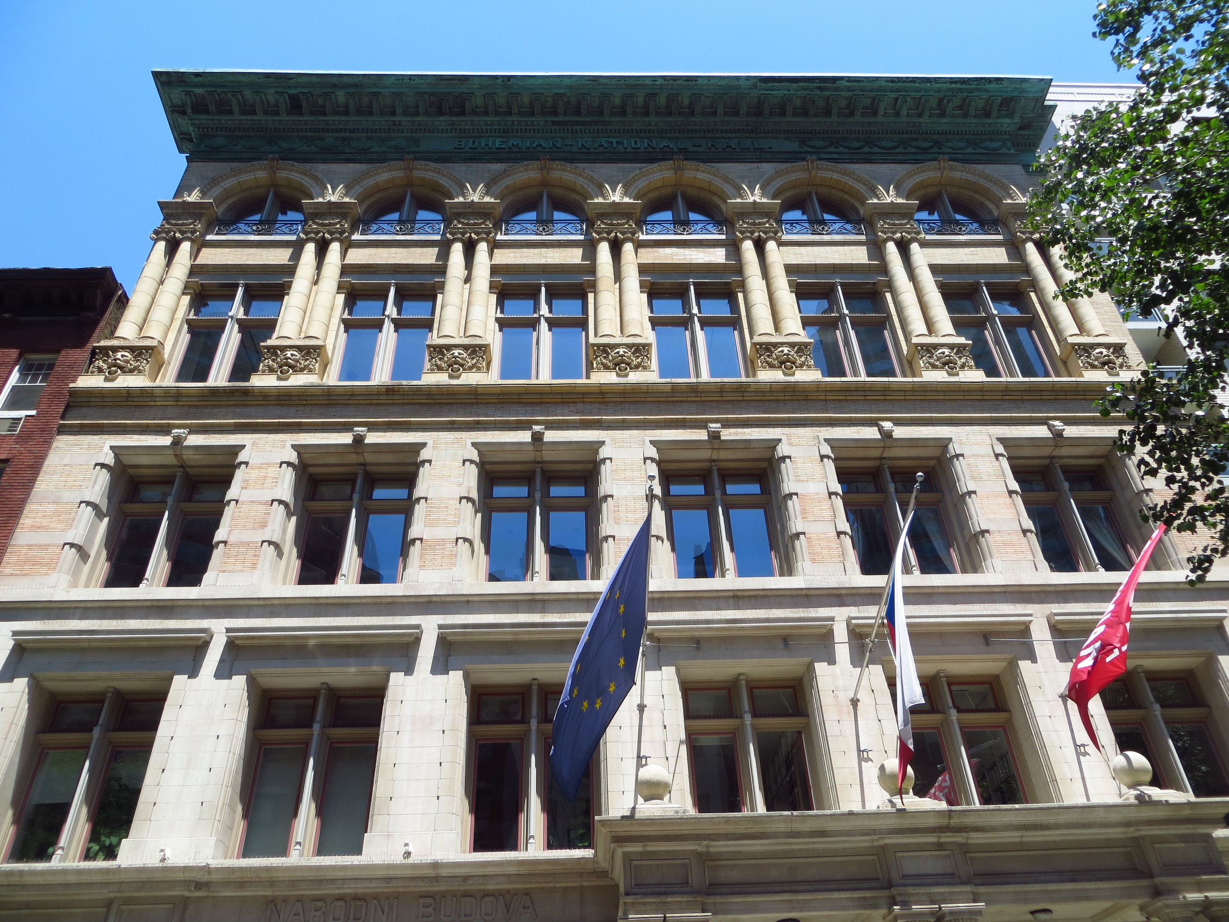
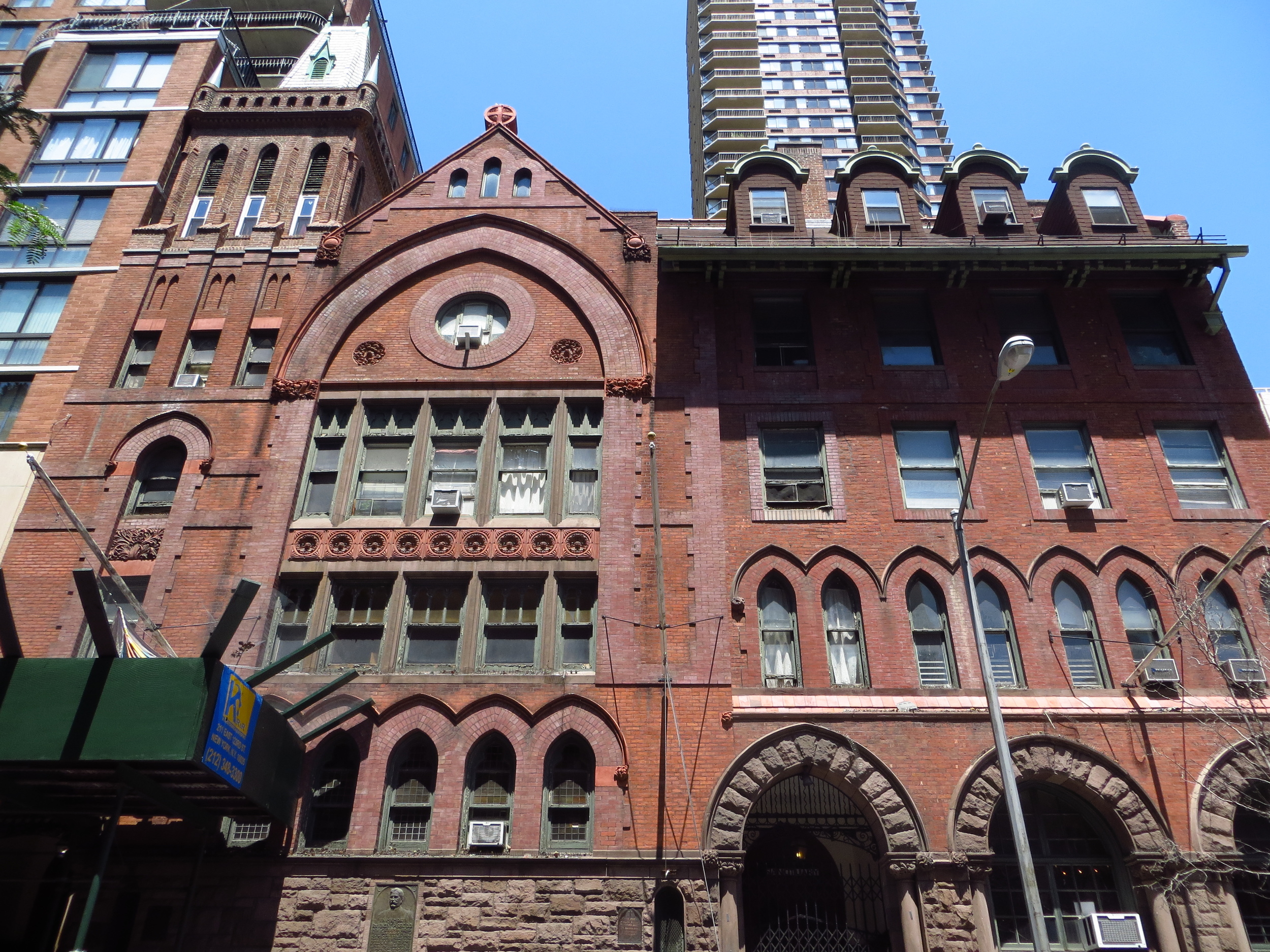
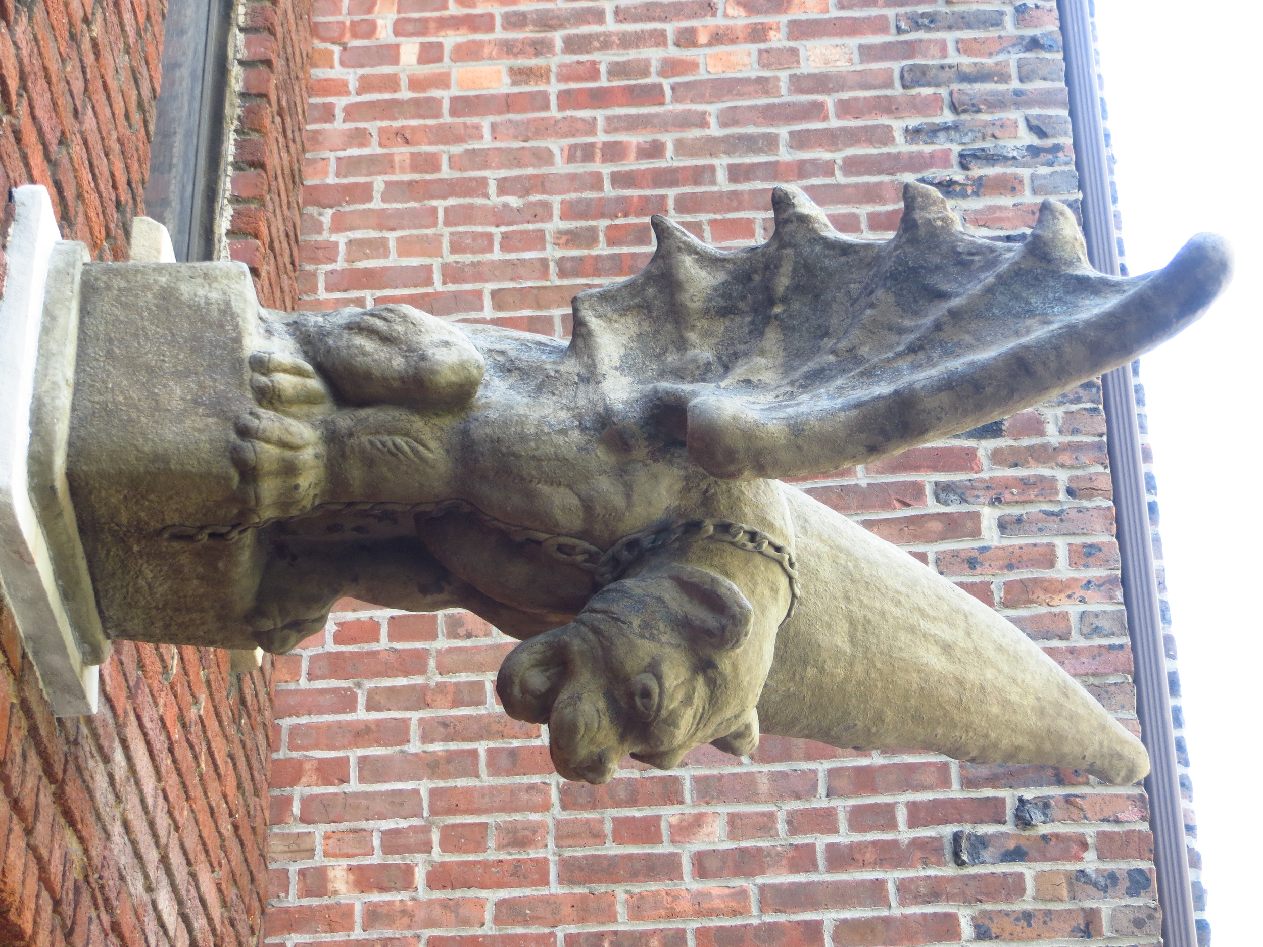
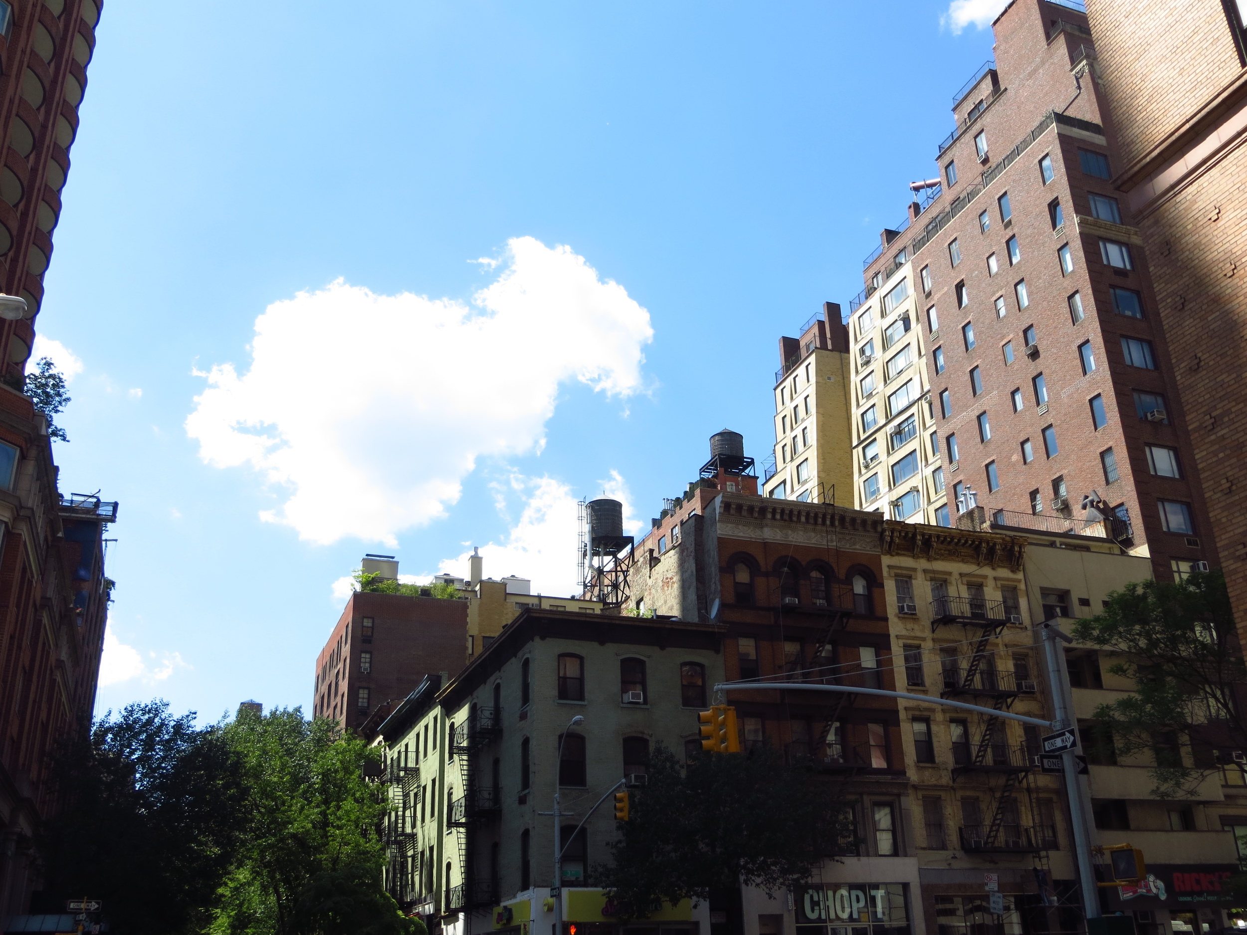
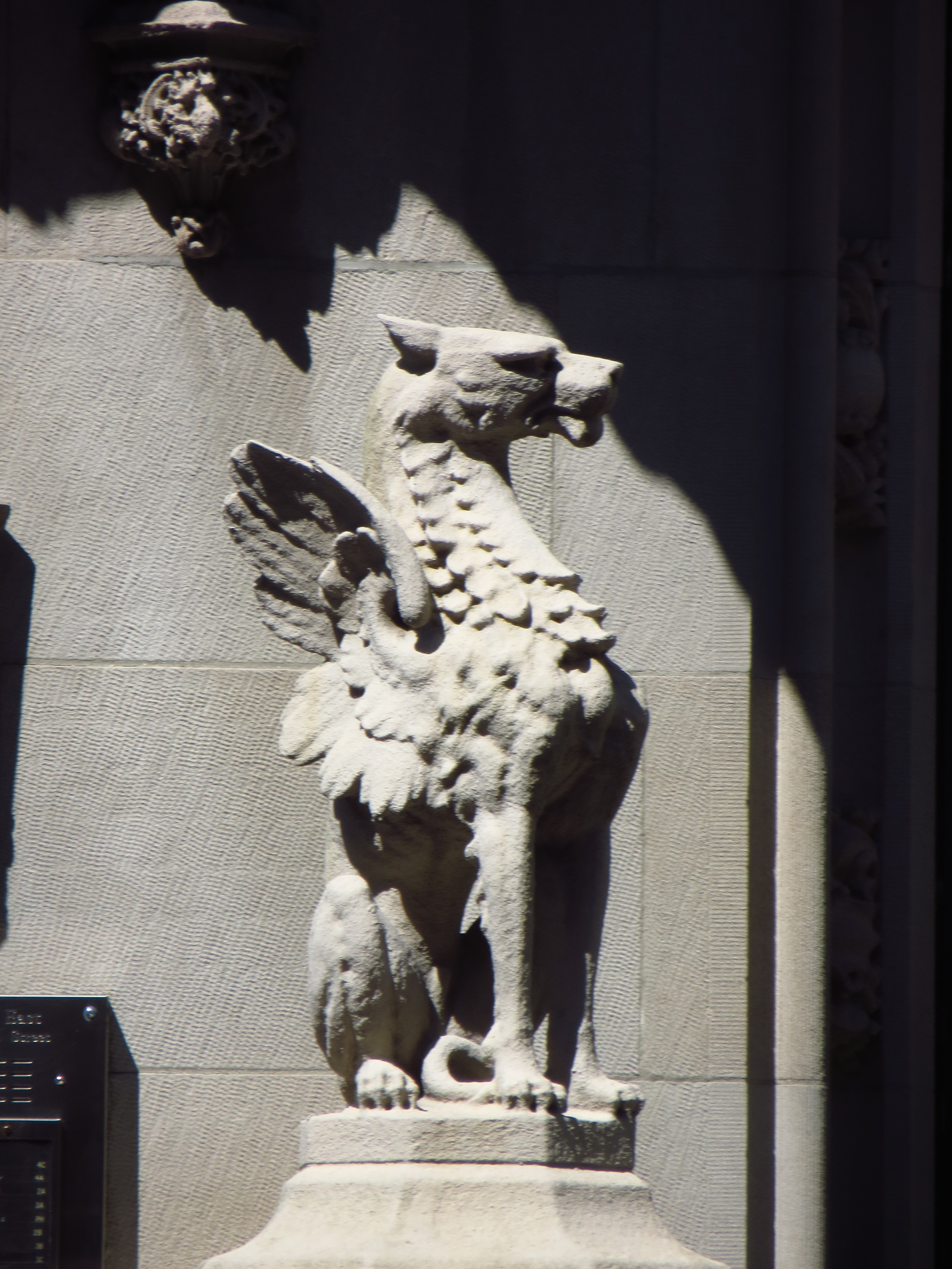
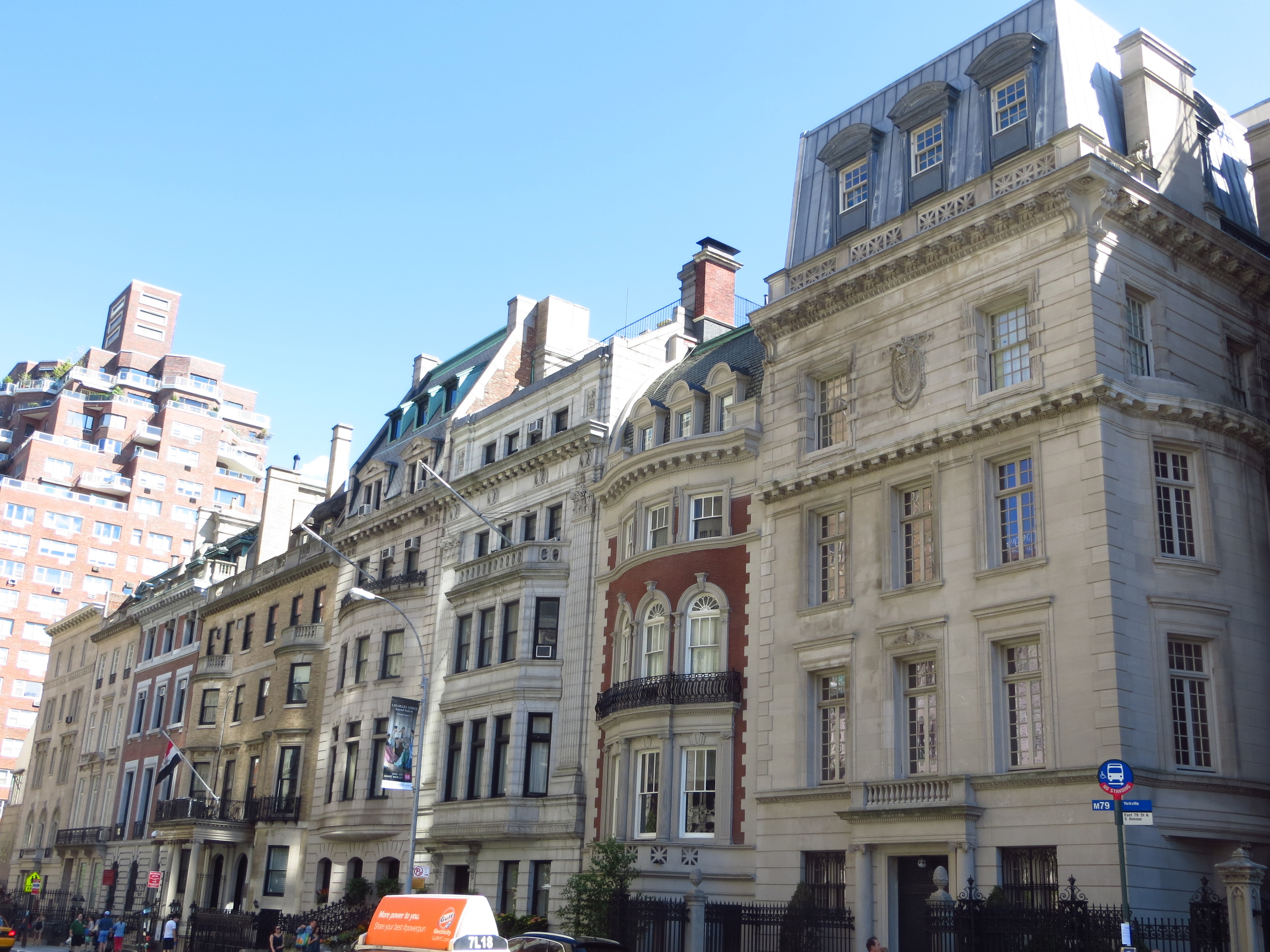
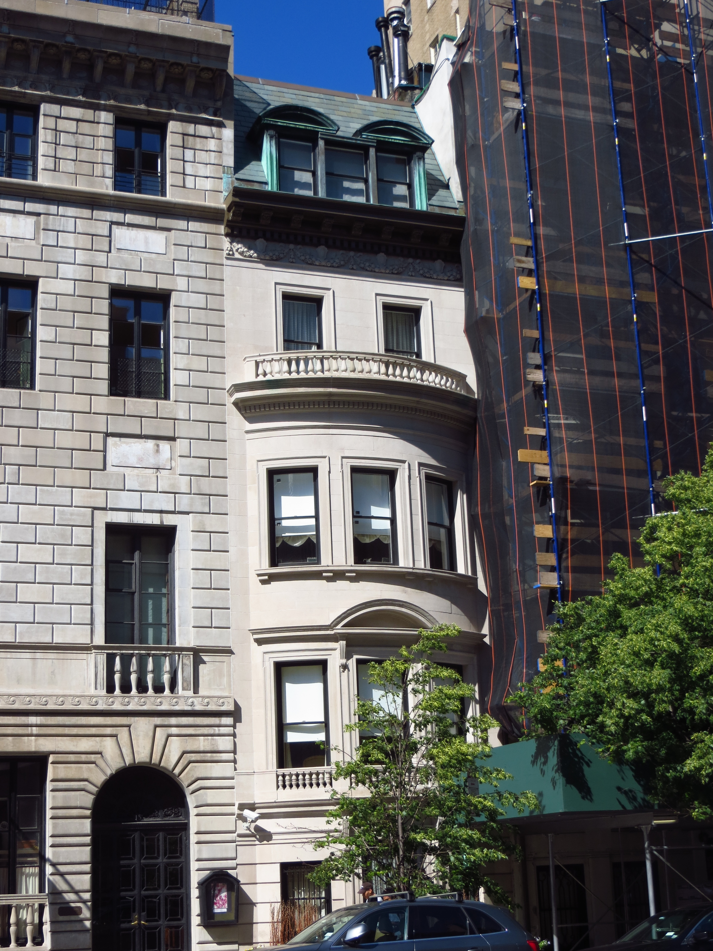
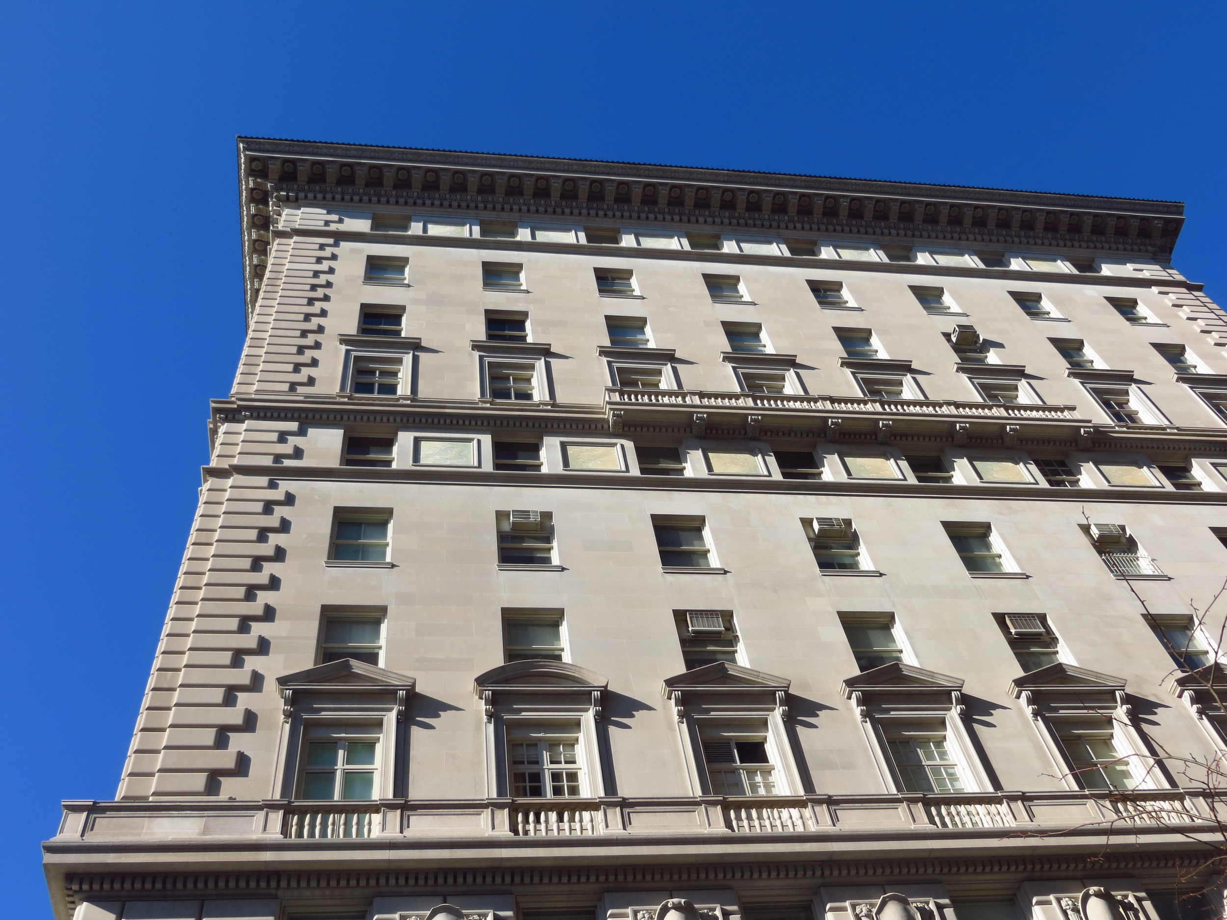
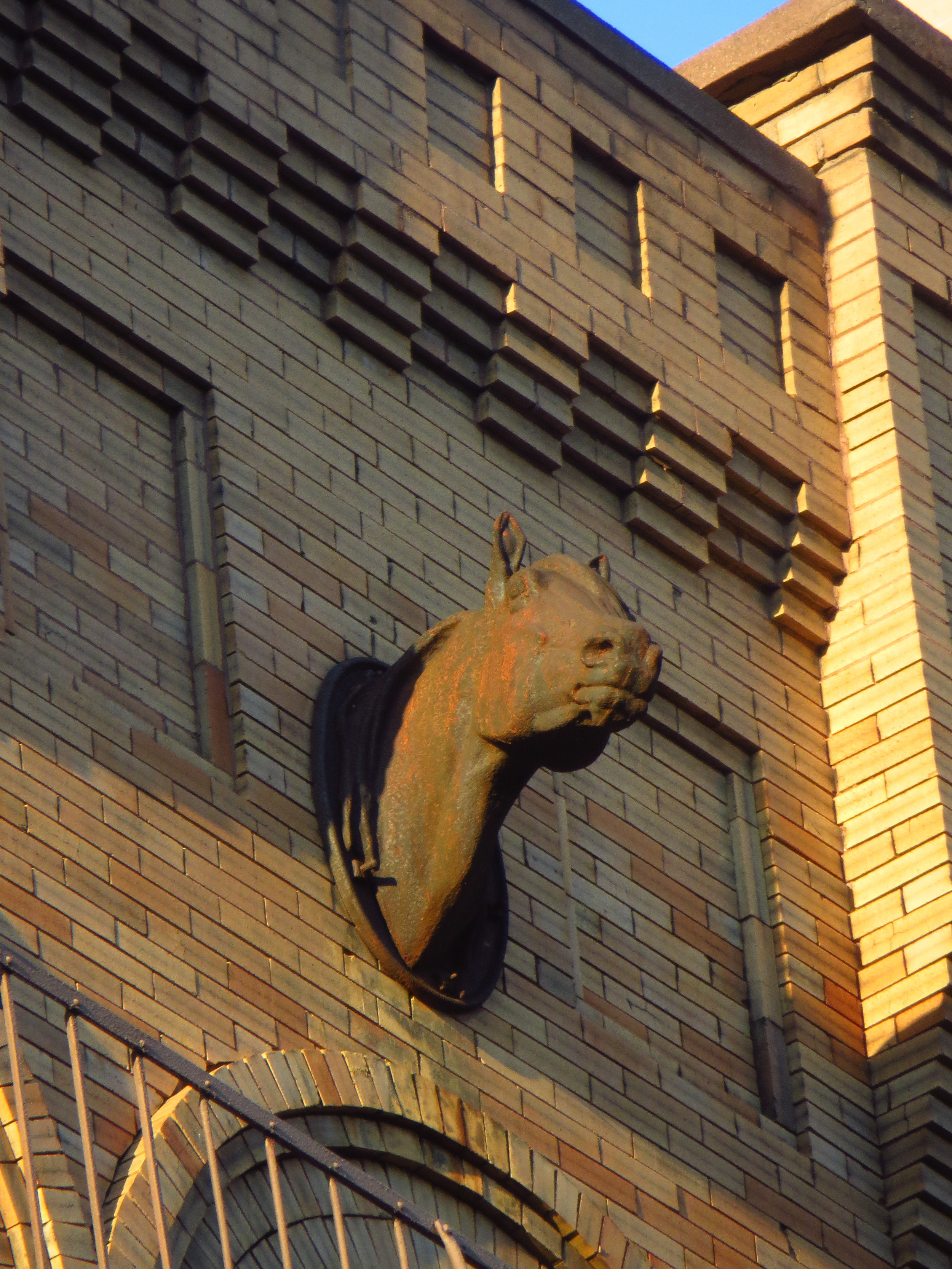
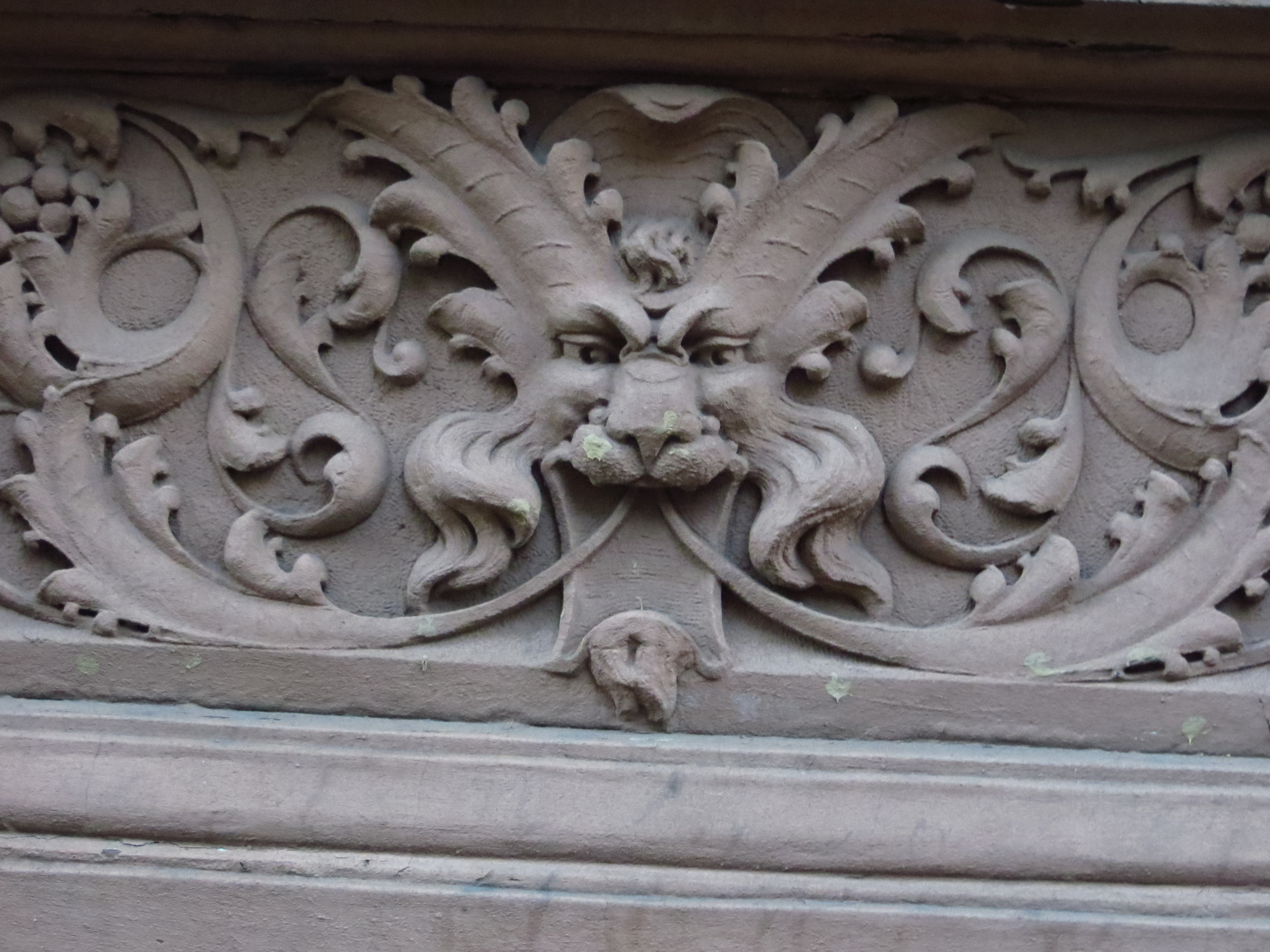
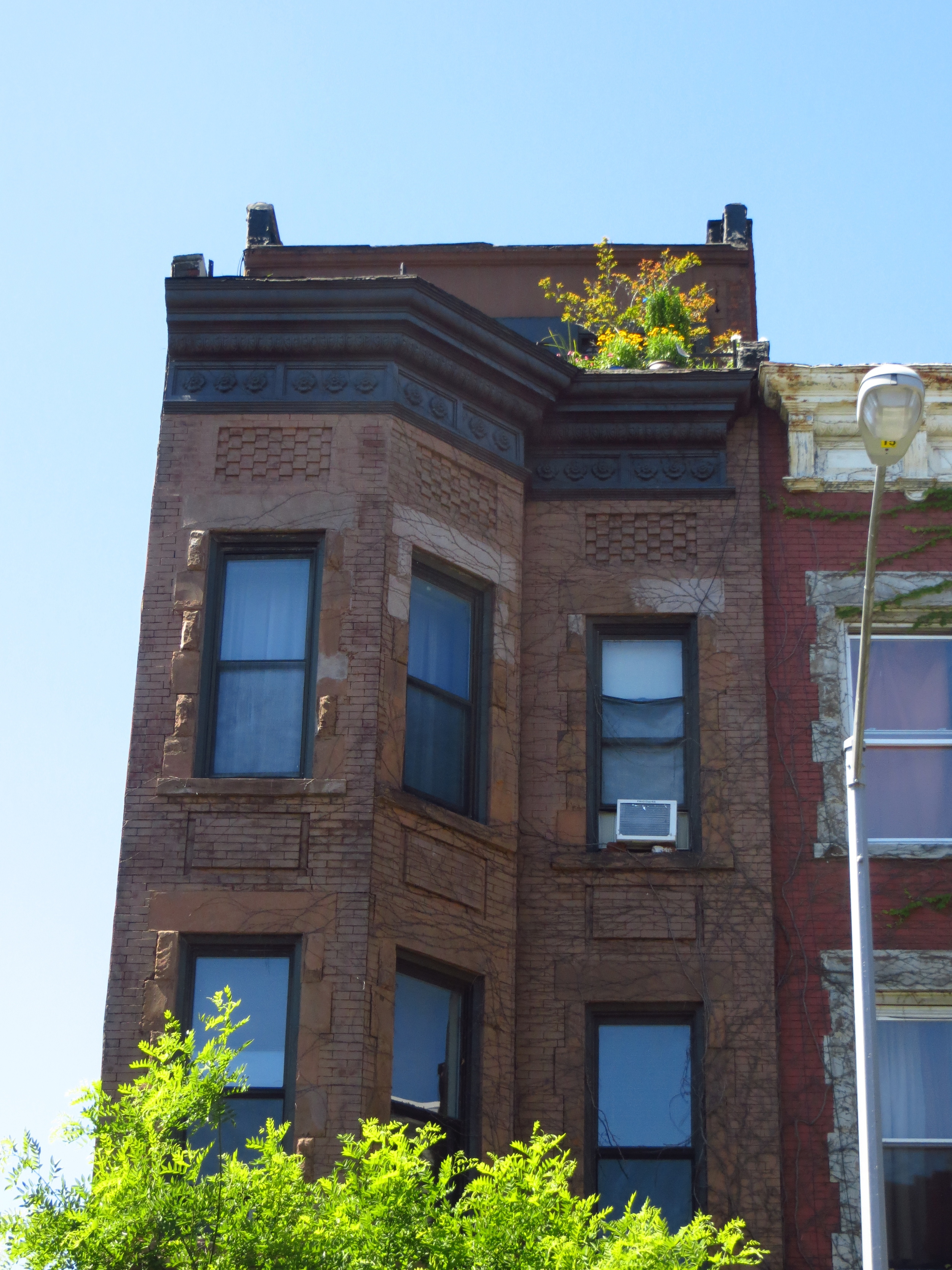
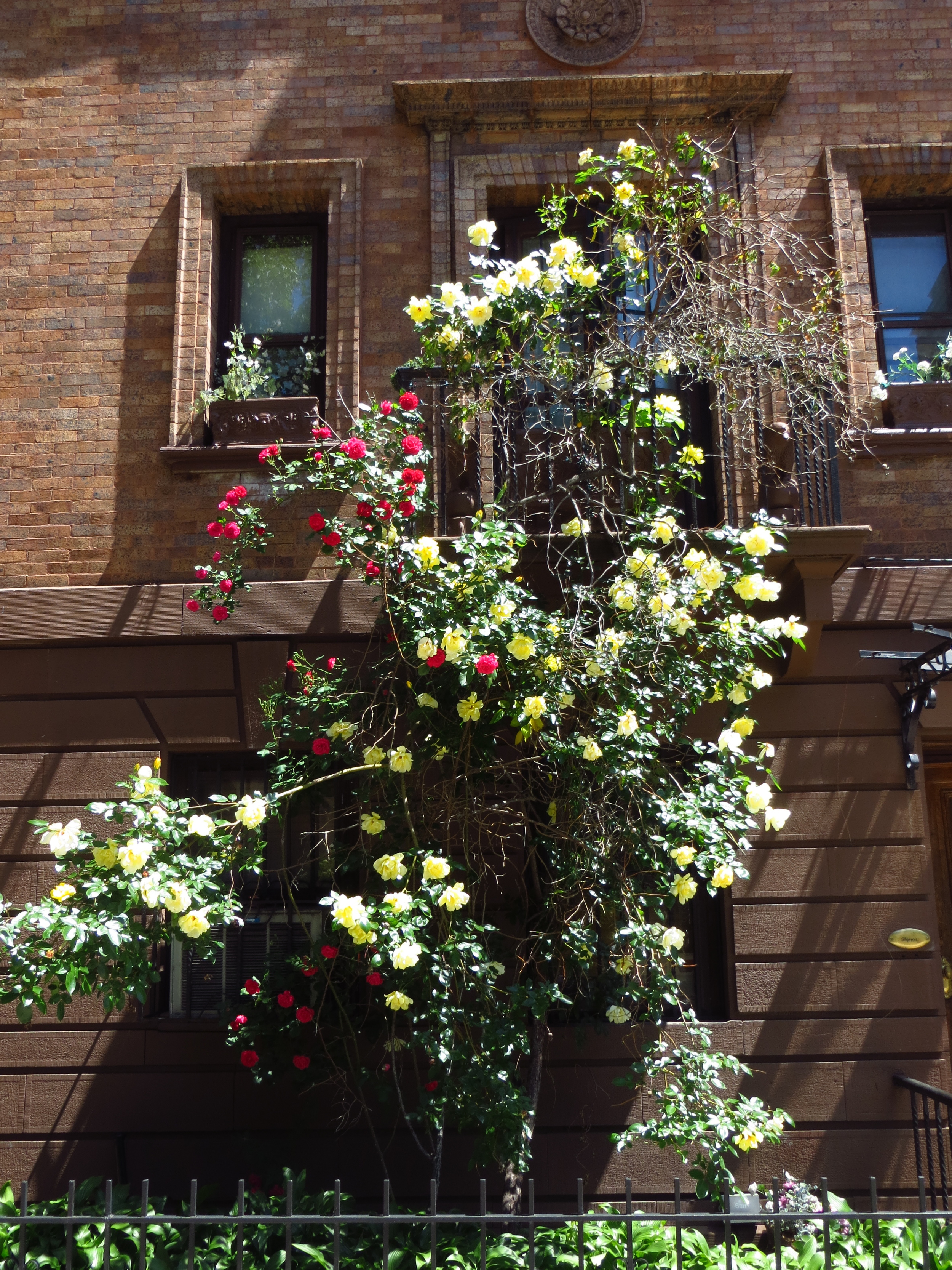
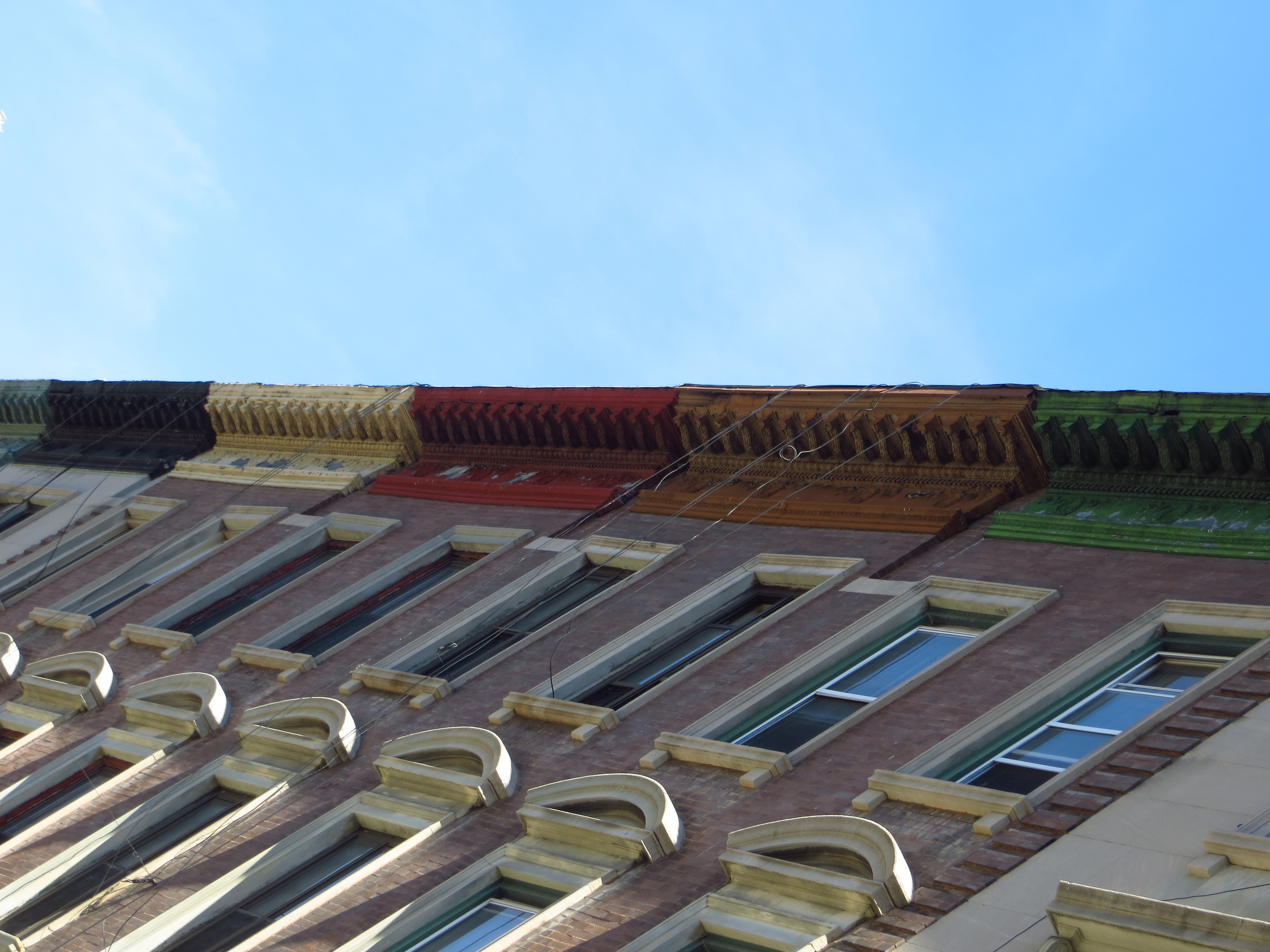
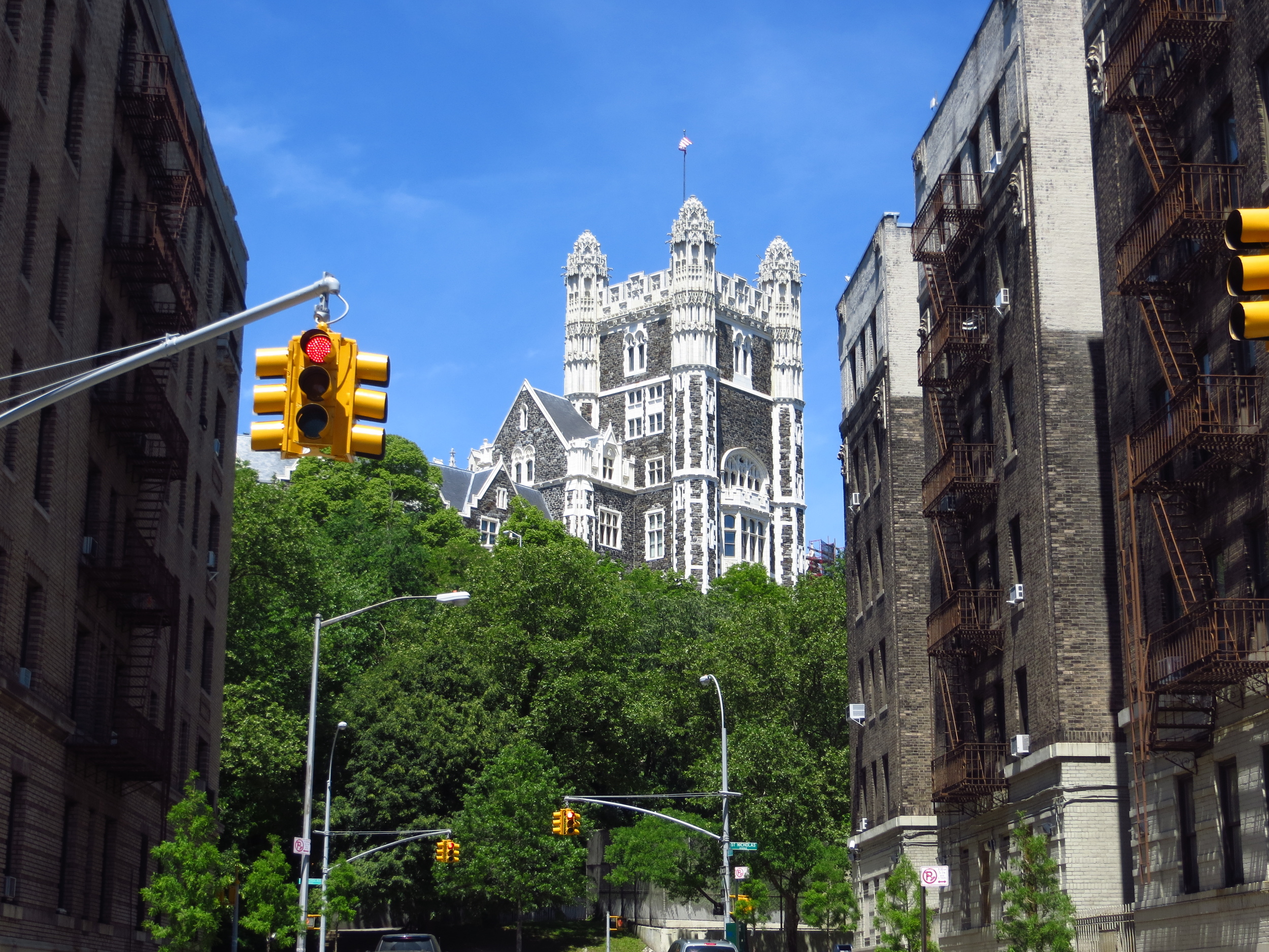
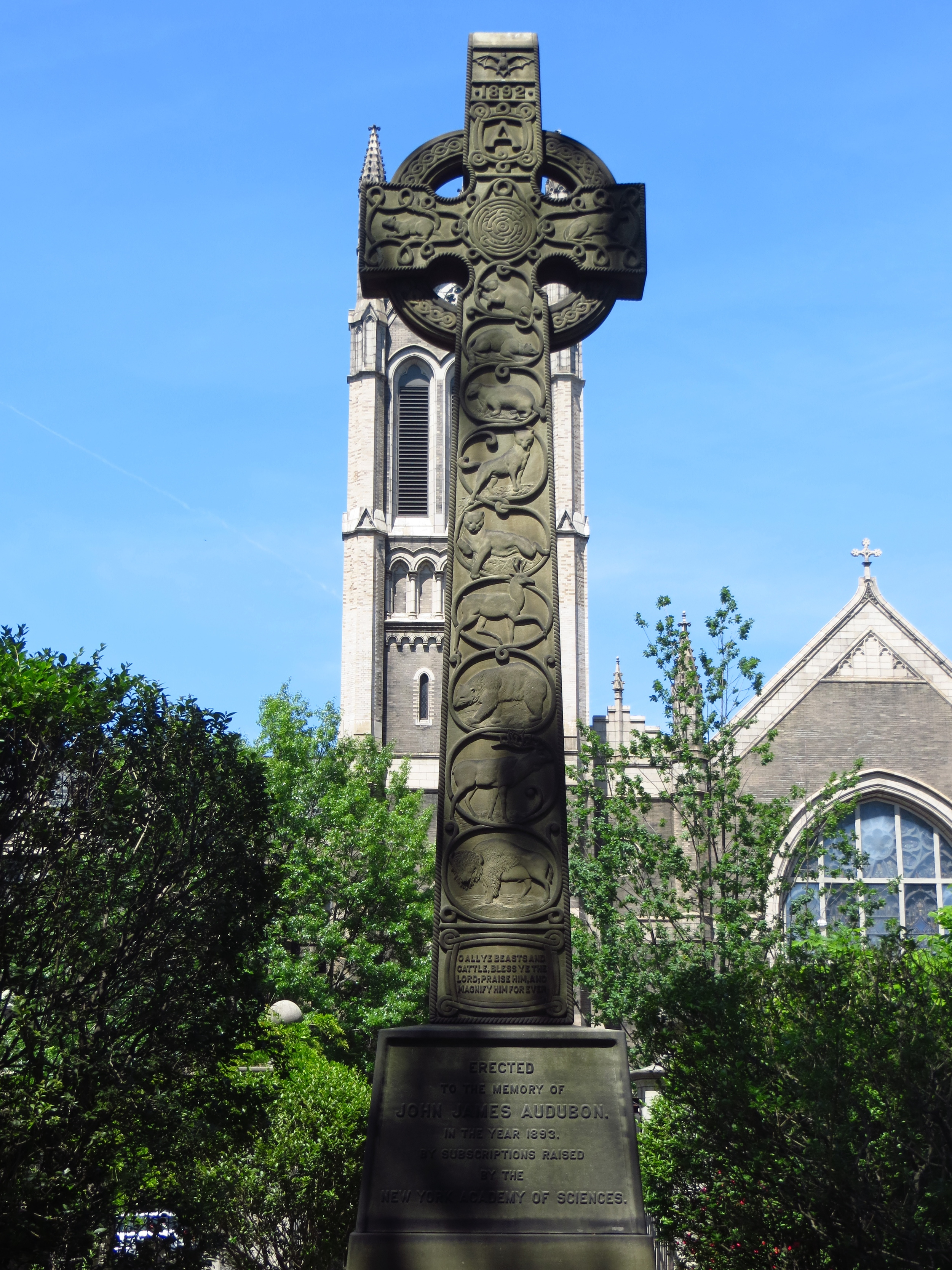
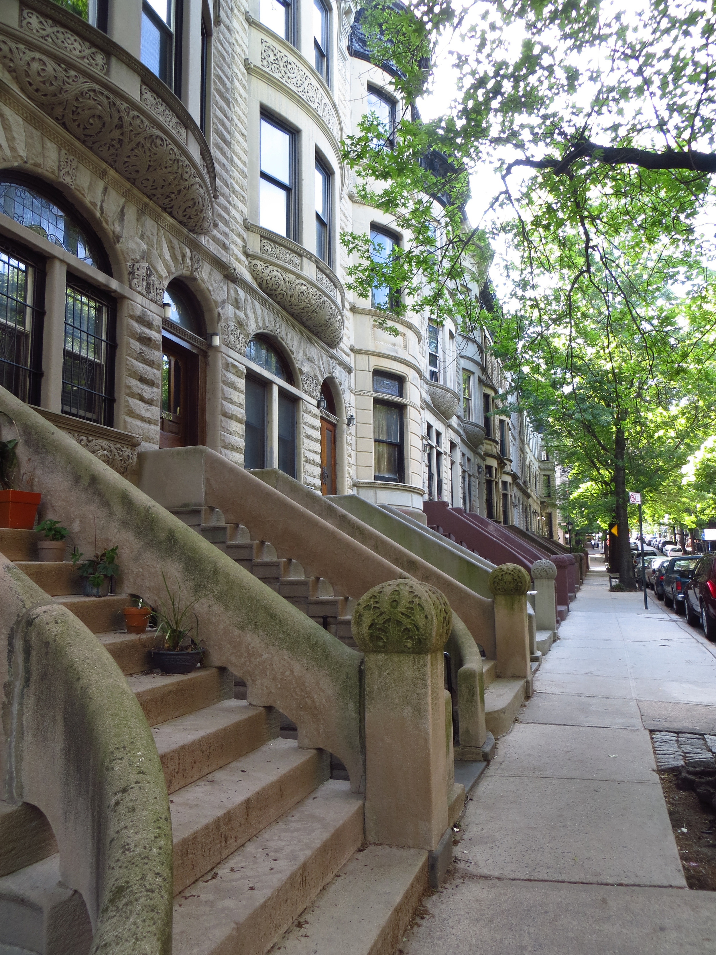
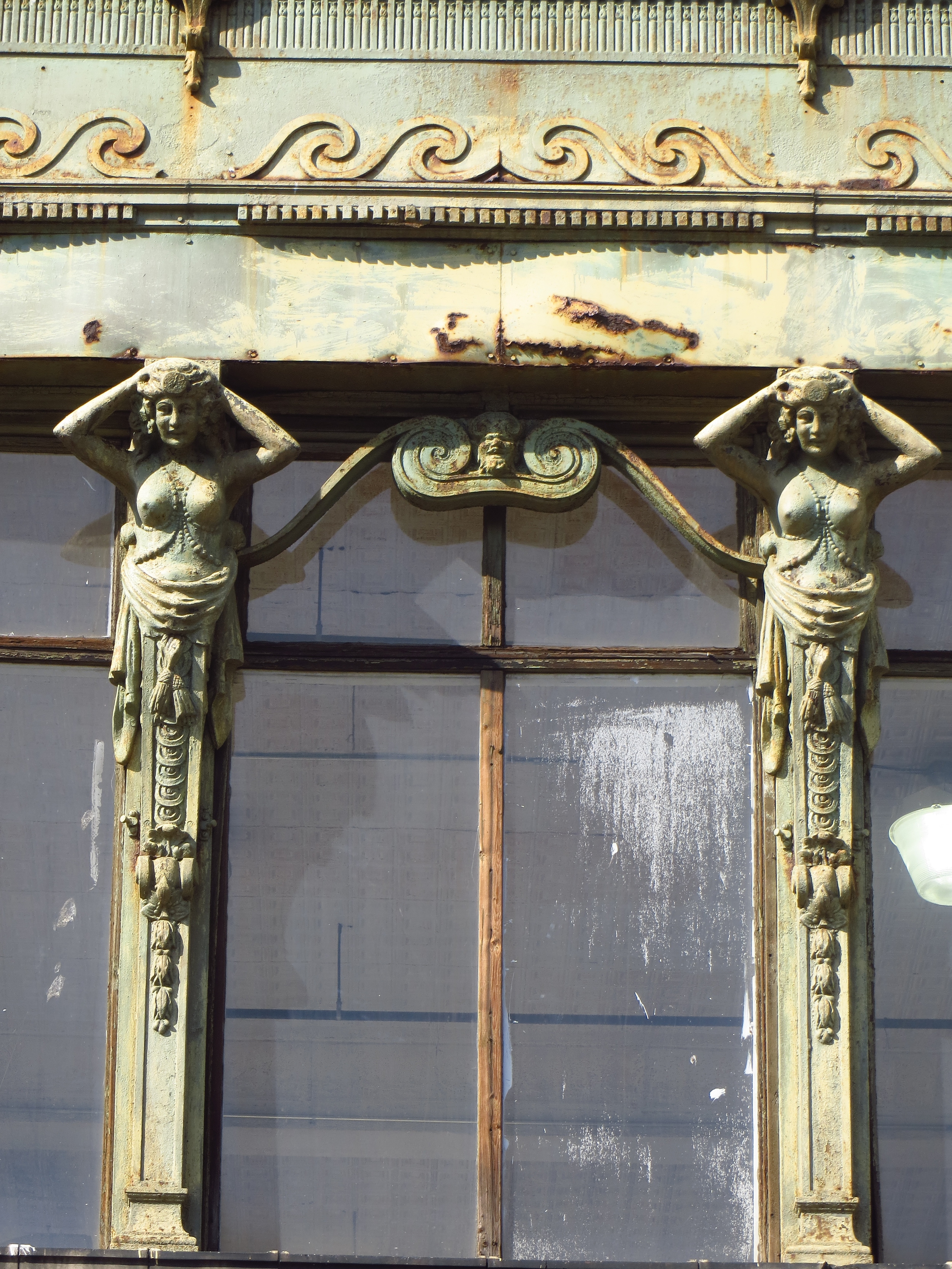
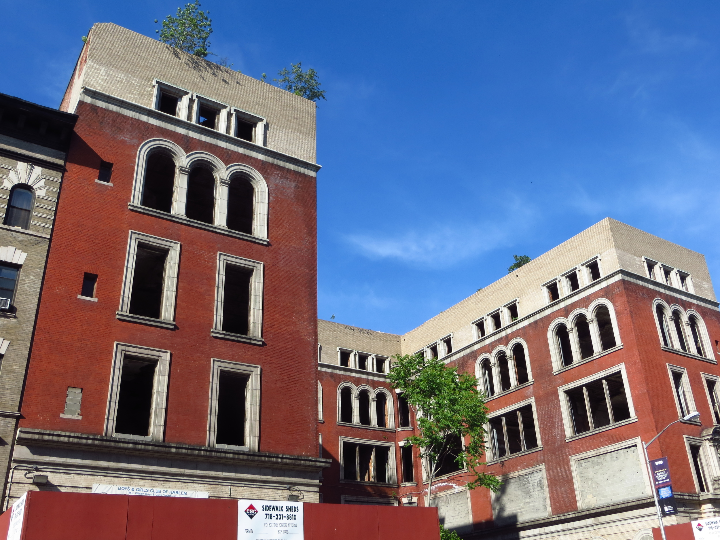
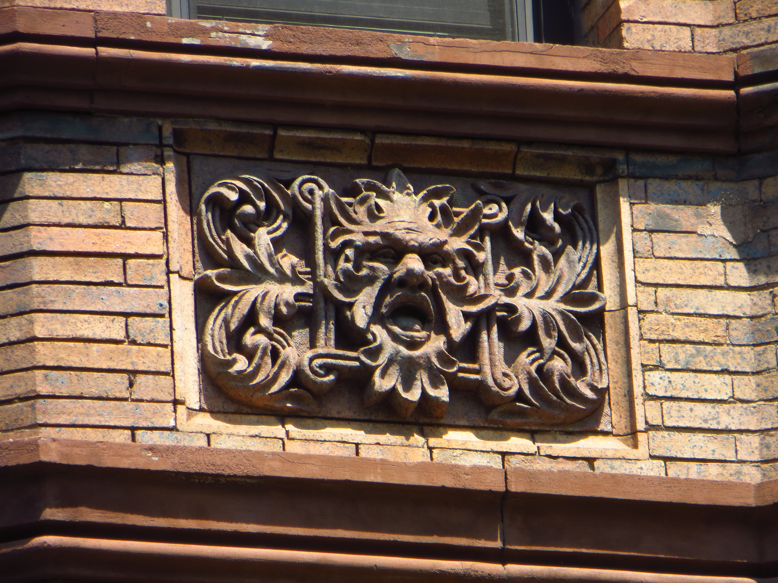
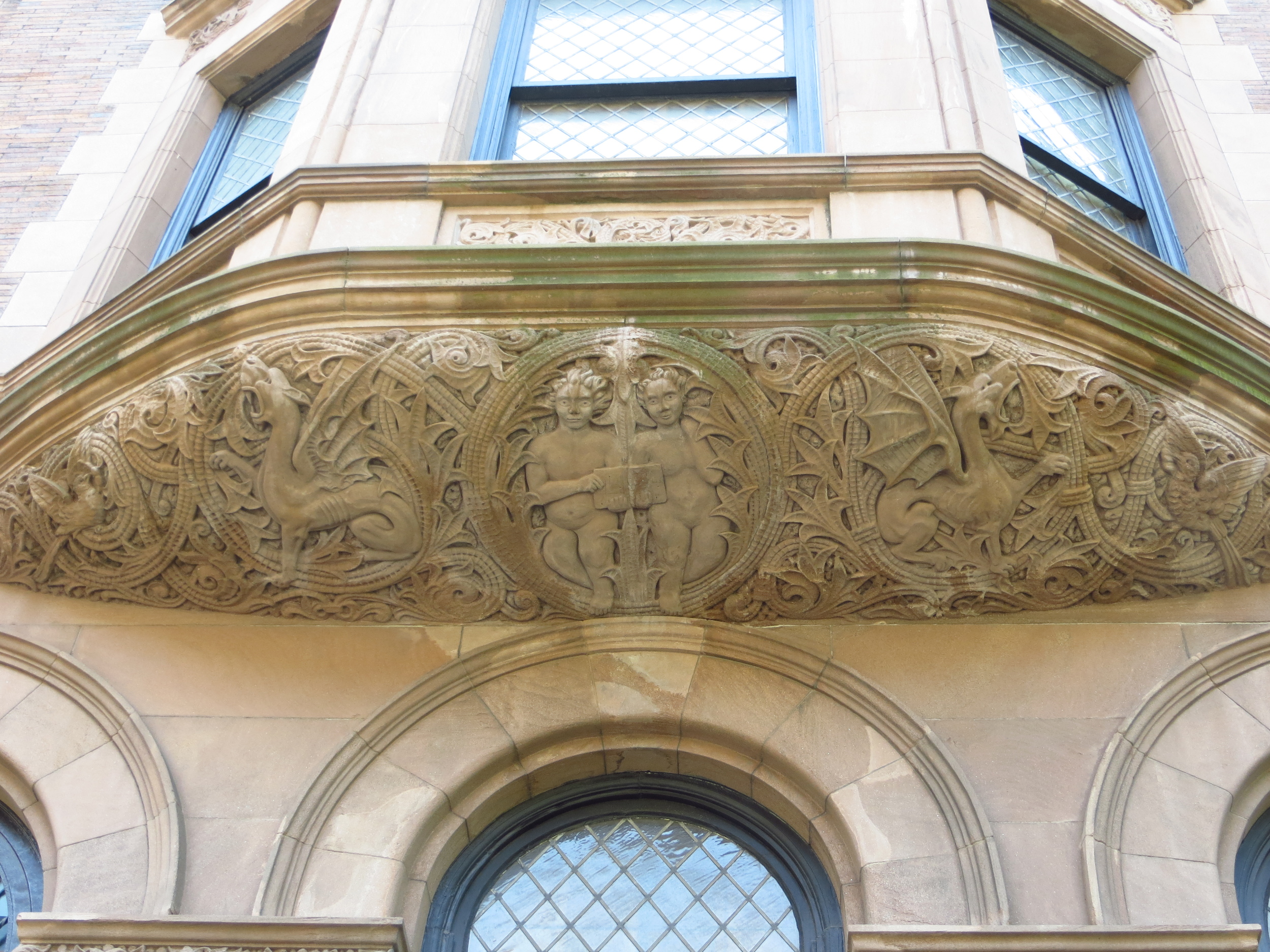
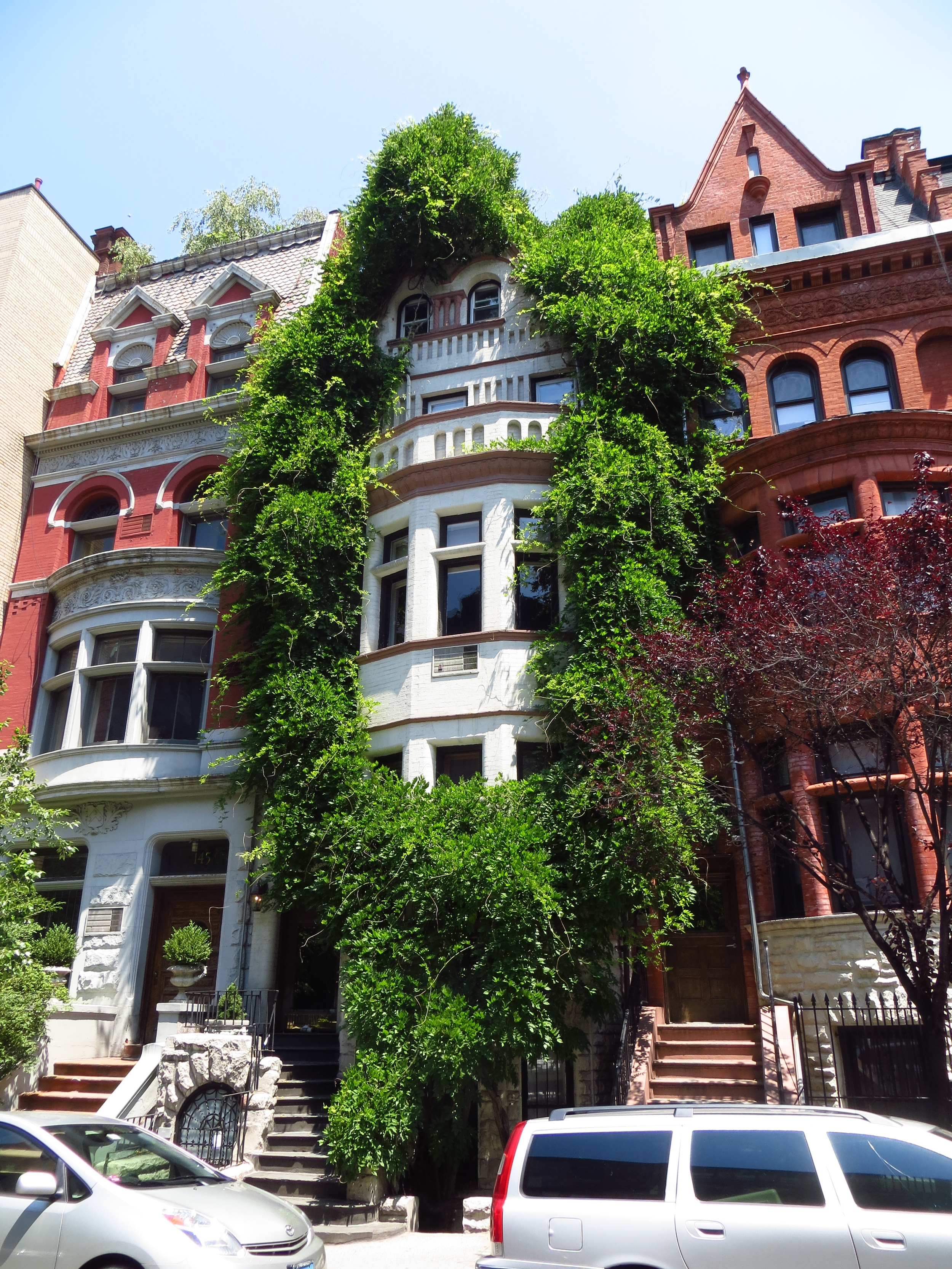
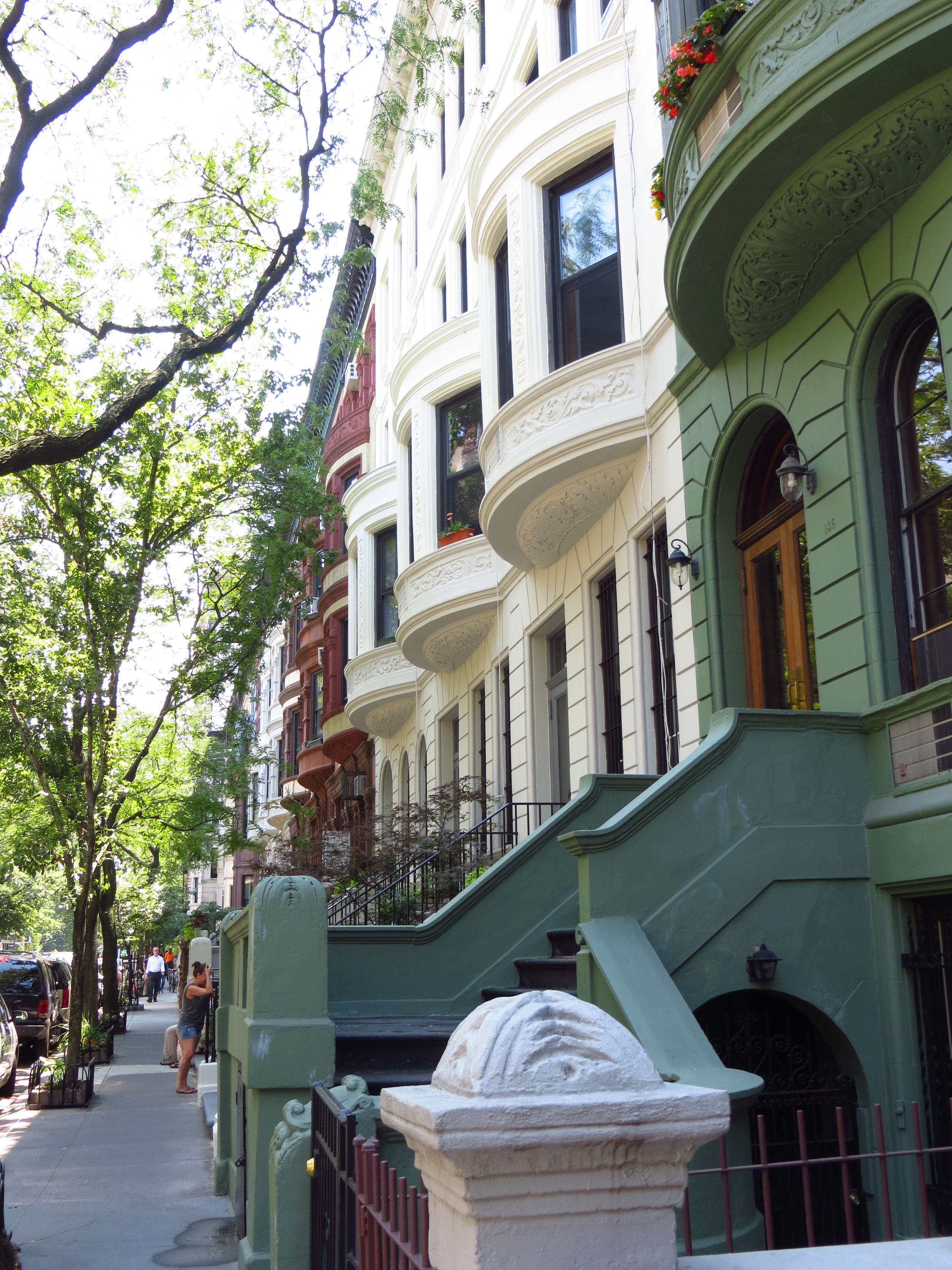
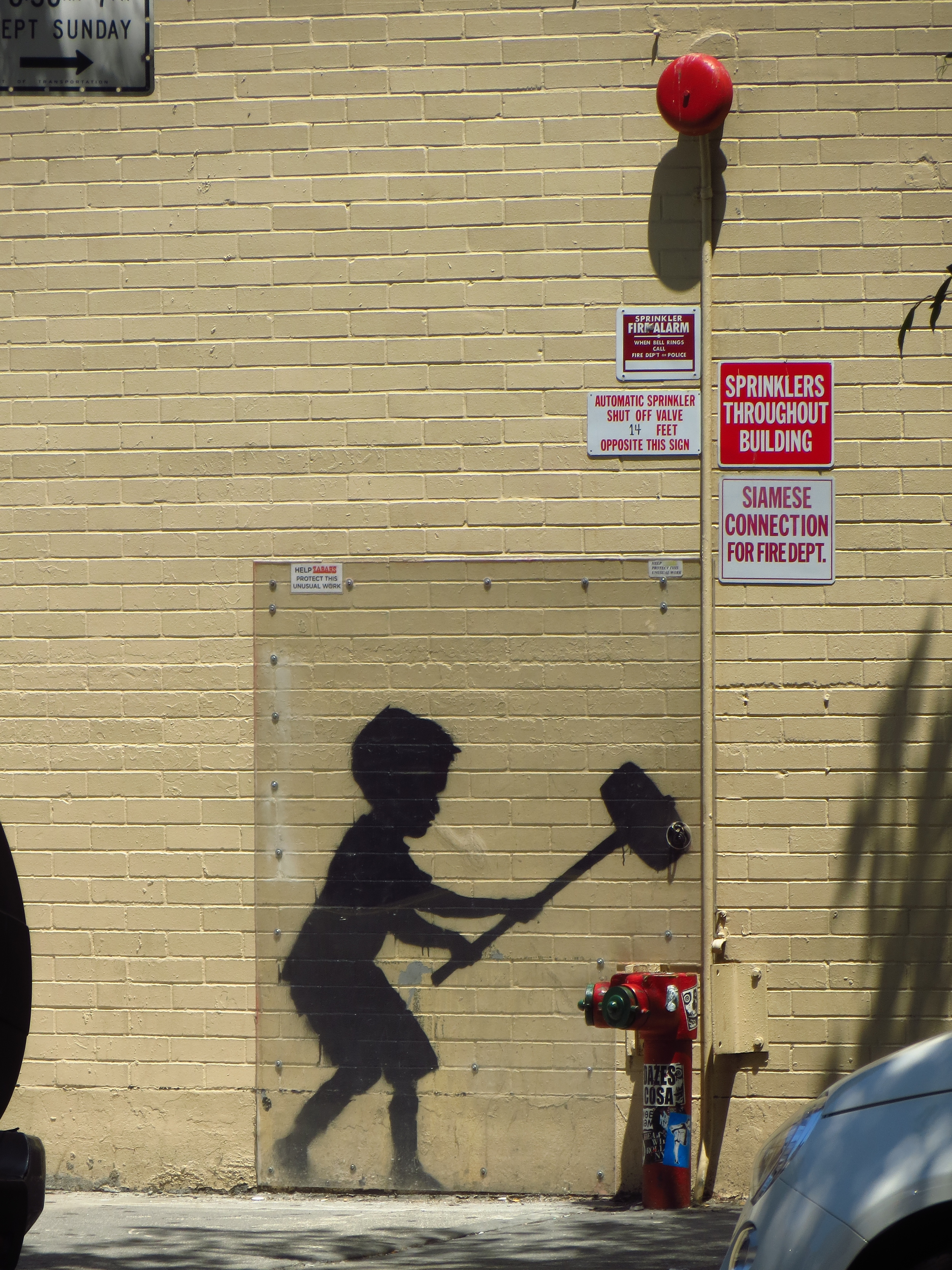
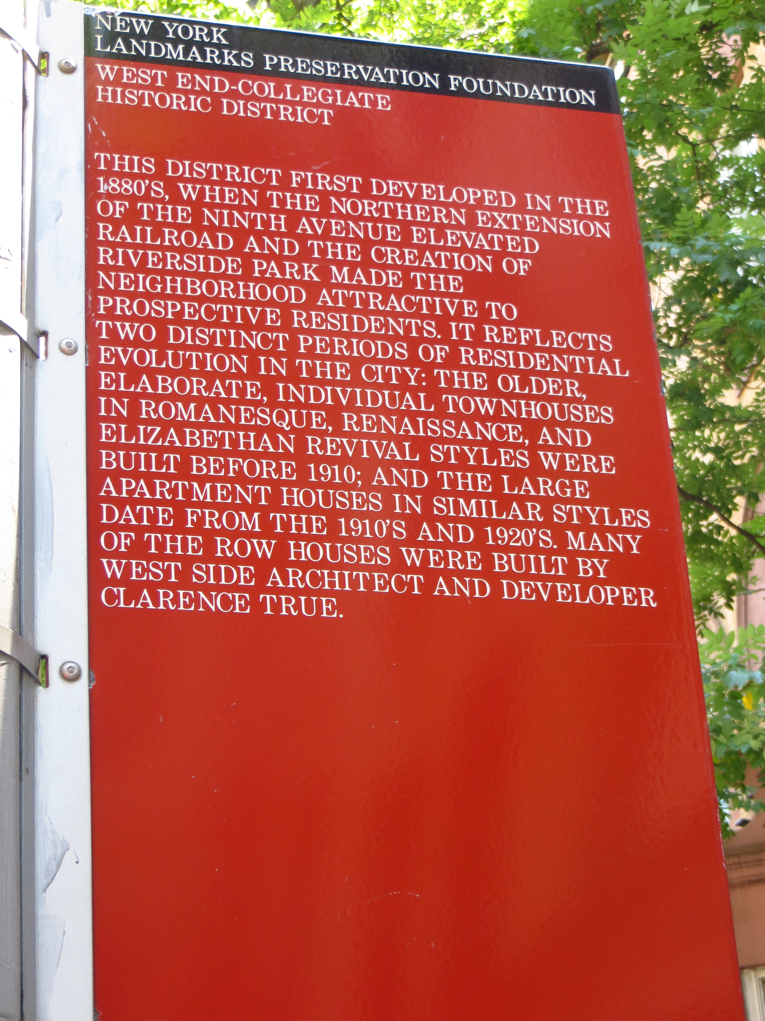
Like in my first UWS post, a lot of what I noticed along the streets were the weird pagan(?) motifs on the brownstones and other apartment buildings.  I've tried to figure out why having scary faces all over the front of your house used to be in vogue, but no luck.

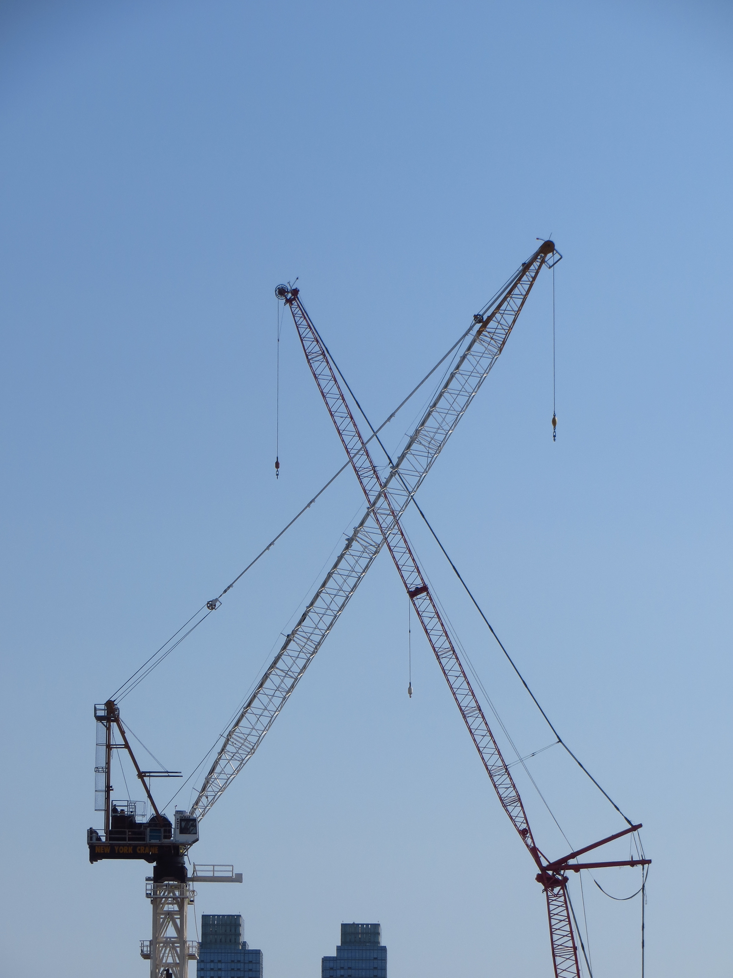
Some notable landmarks I passed by along the way:

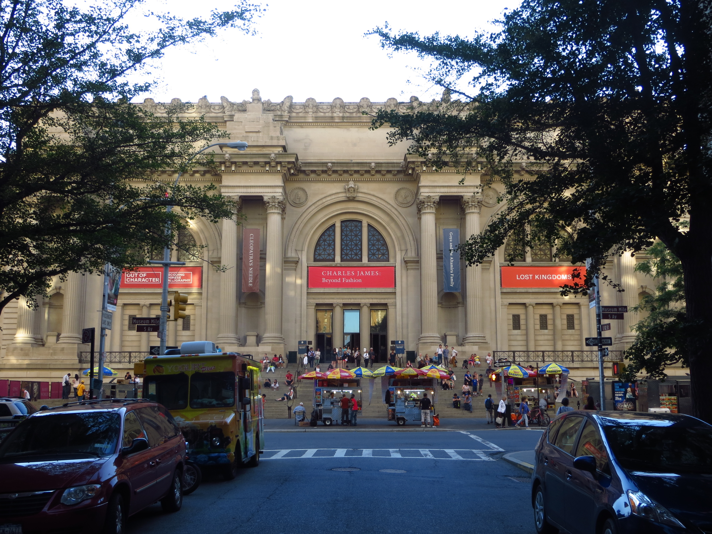
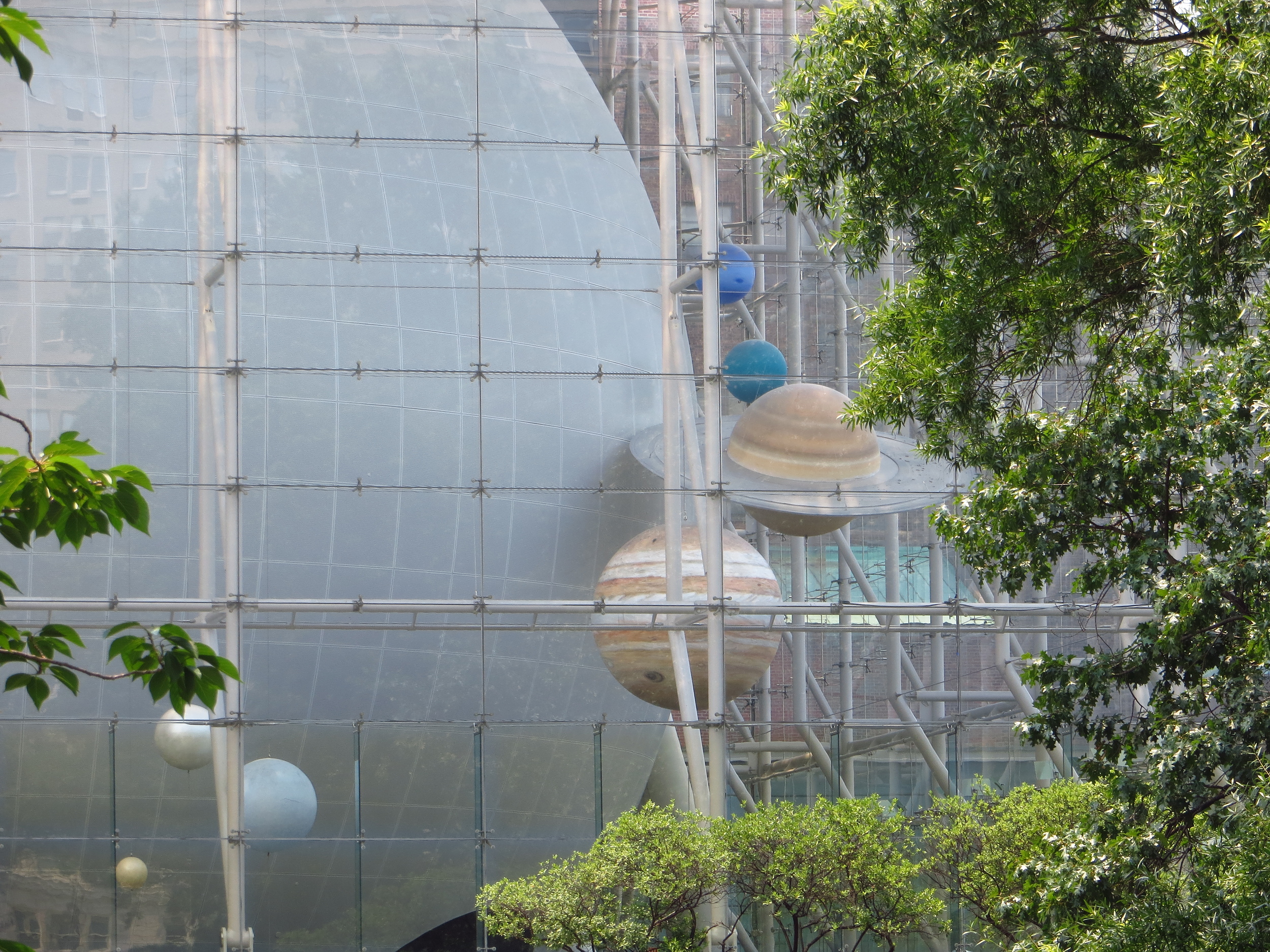
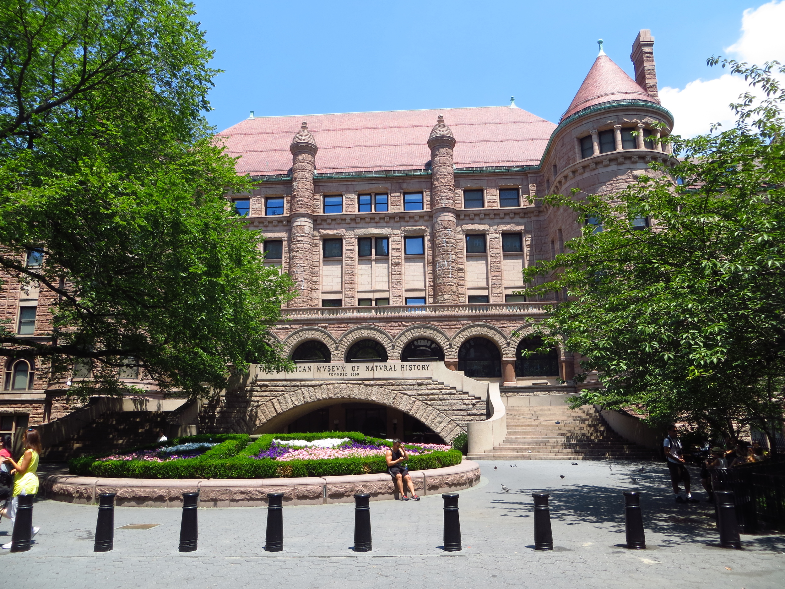
1.) American Museum of Natural History: The AMNH sits in Roosevelt Park between W 81st St and W 77th St on the north/south and Central Park West and Columbus Ave. on the east/west. It's full of awesome dinosaur bones, meteorites, and animals Teddy Roosevelt shot.  Highly recommend.

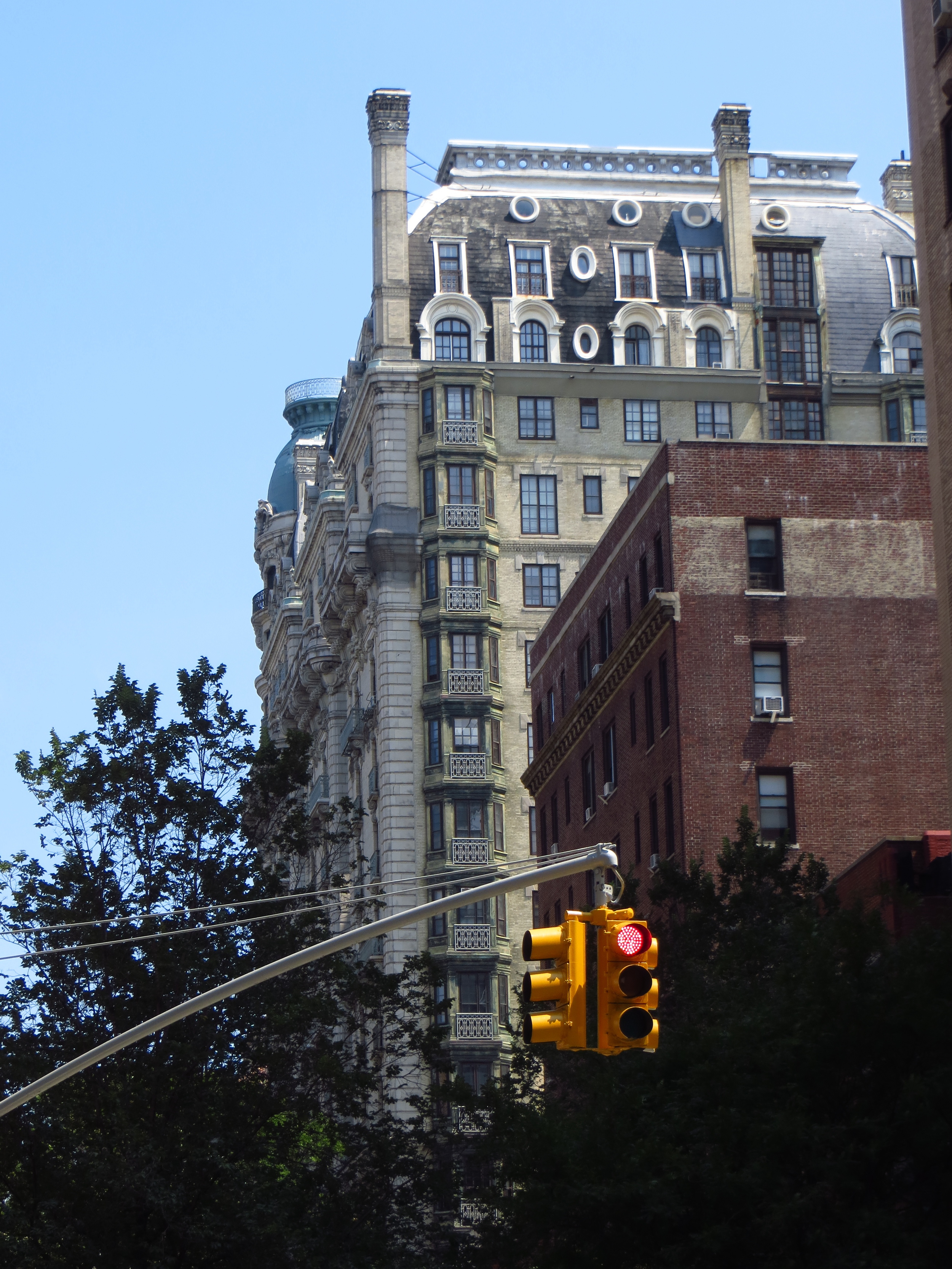
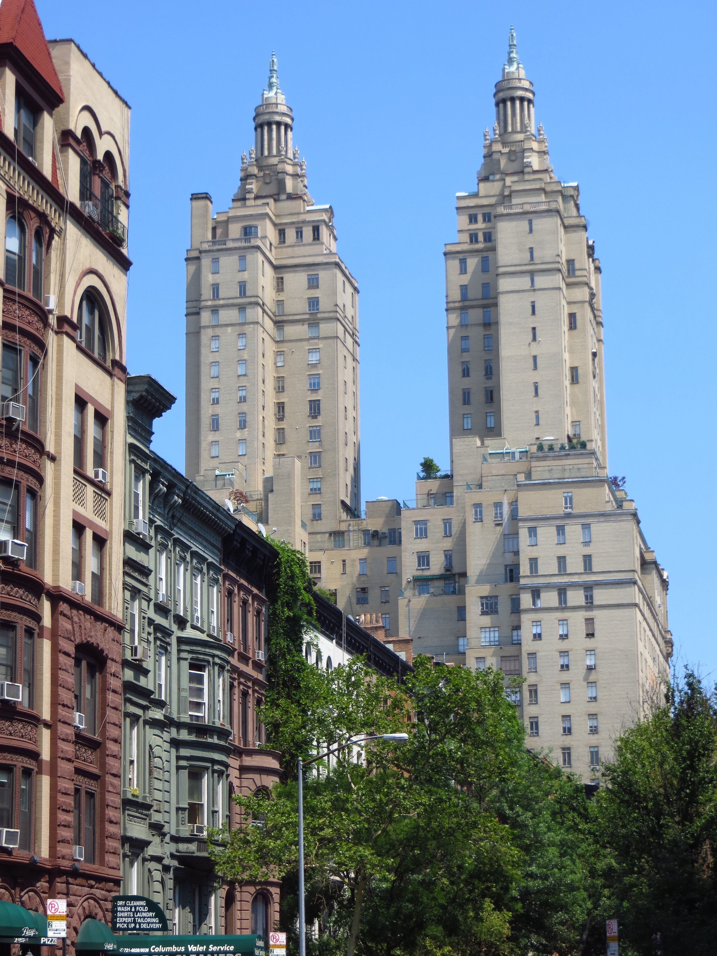
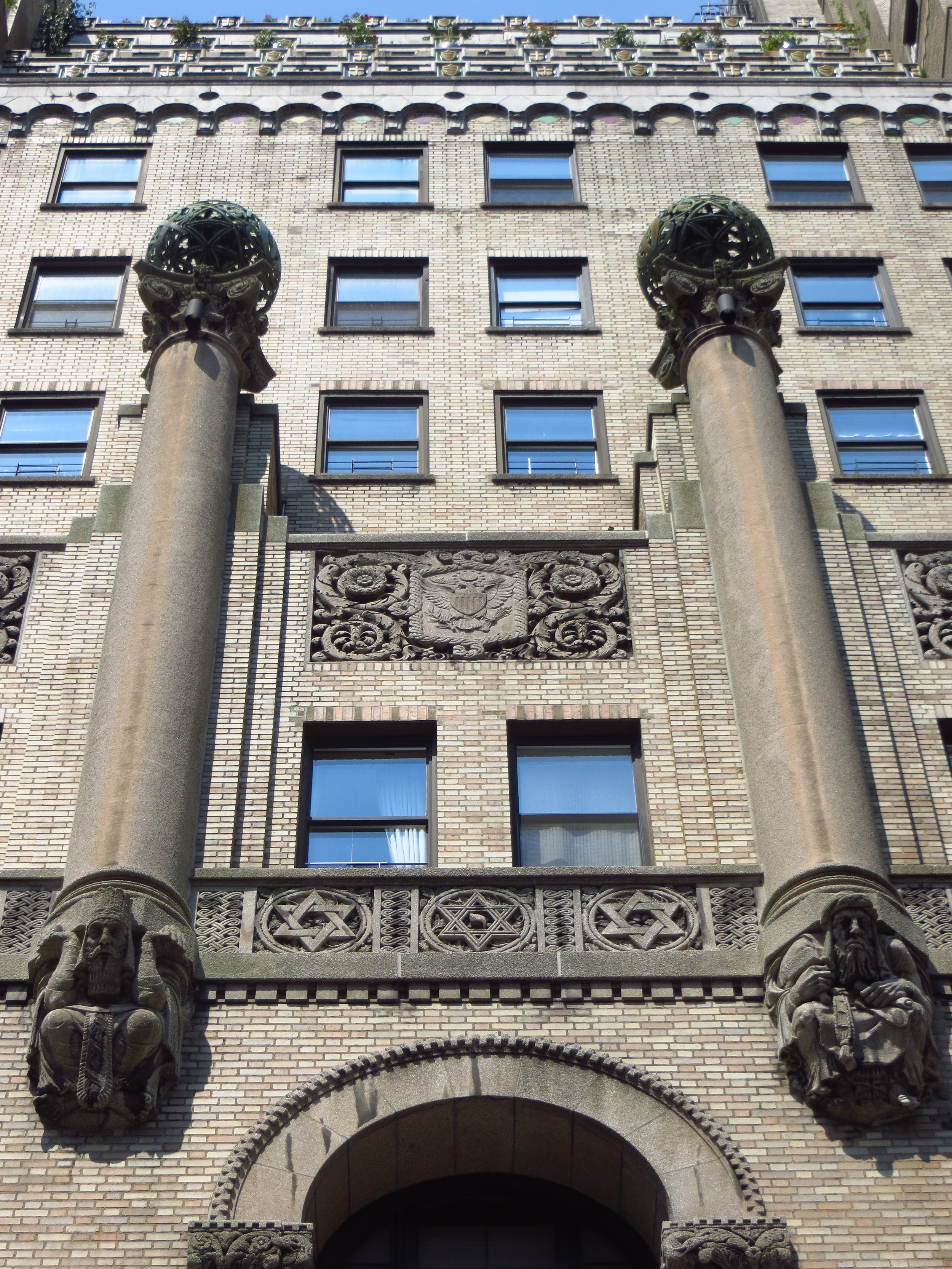
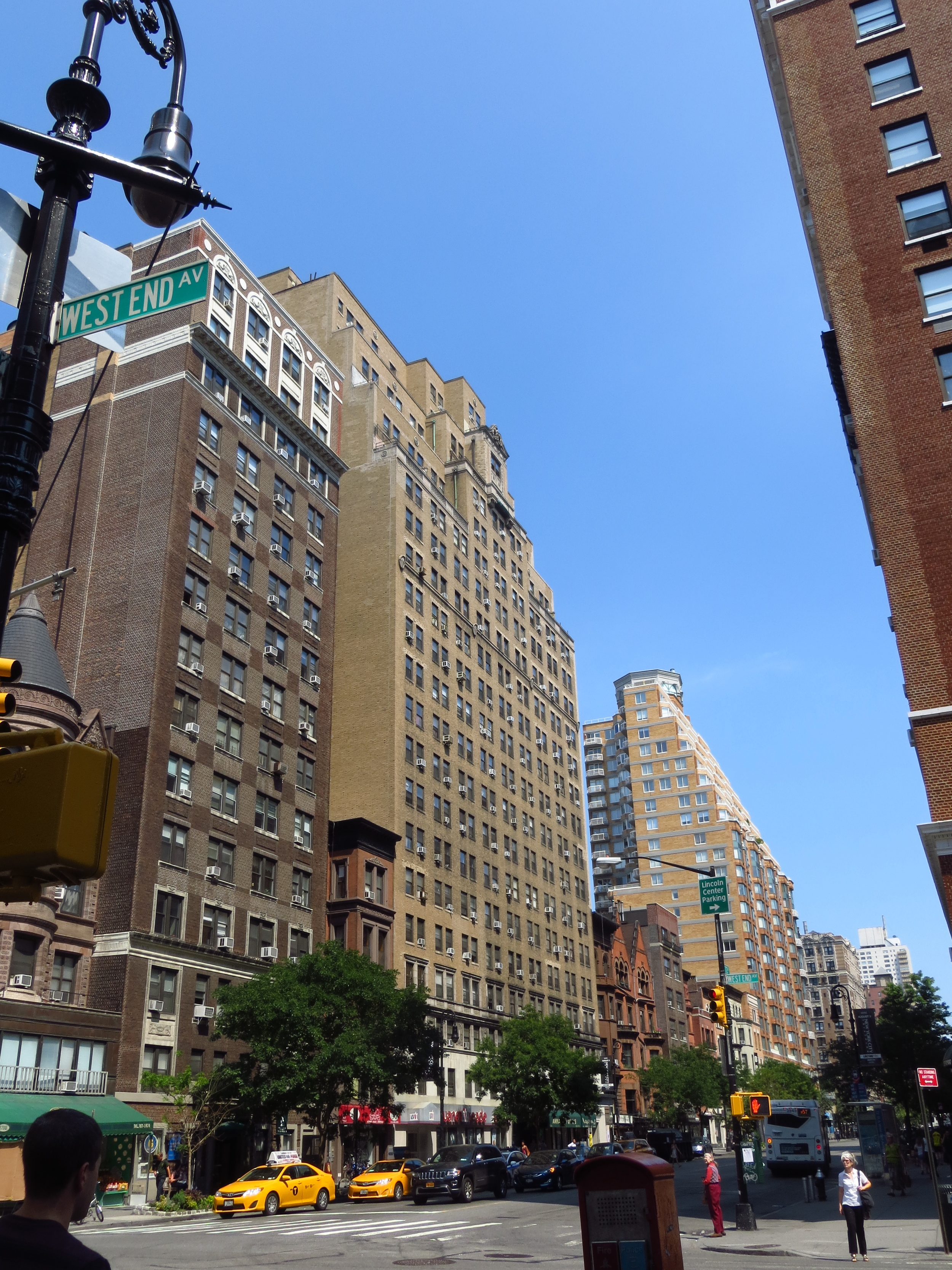
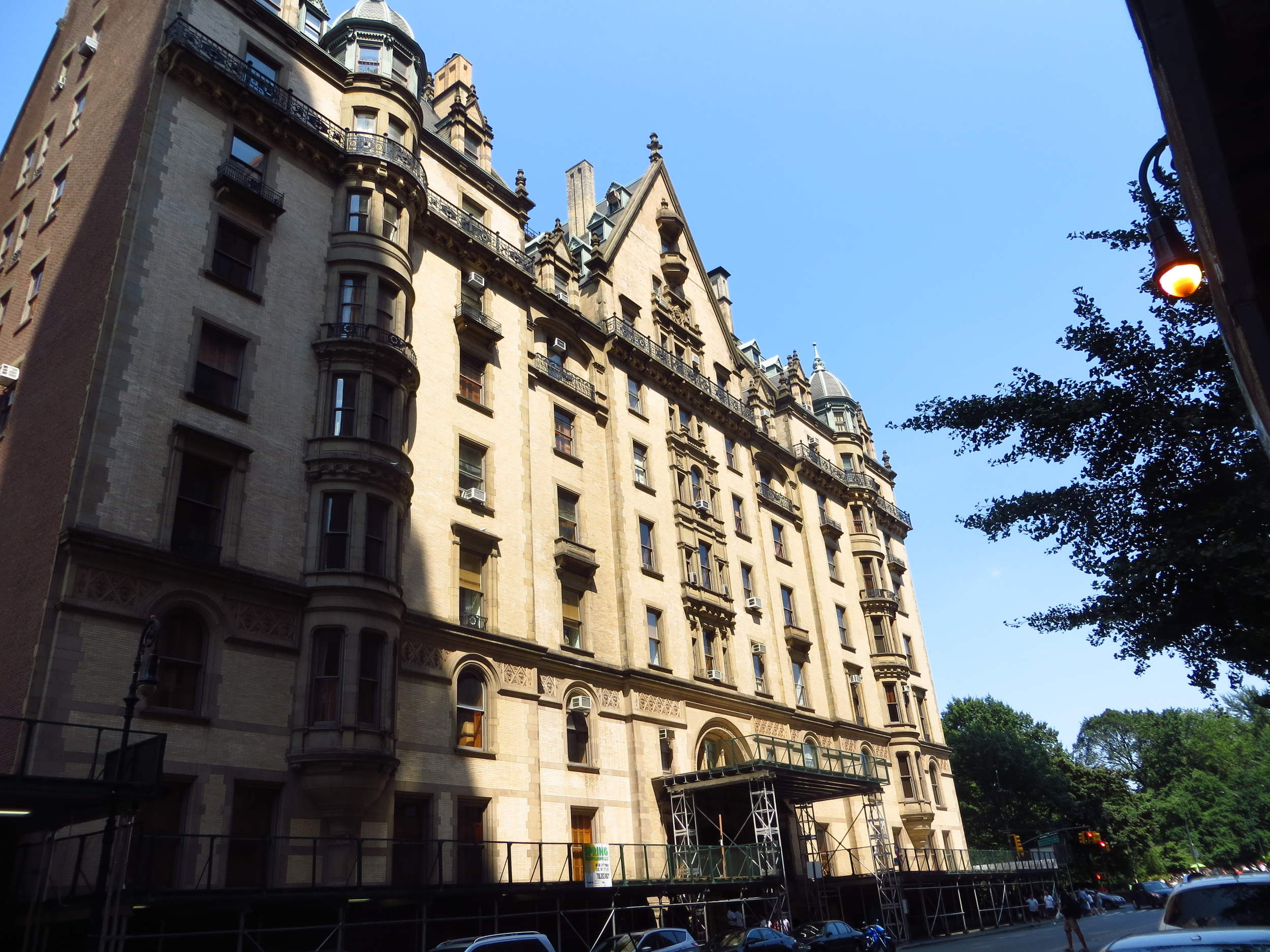
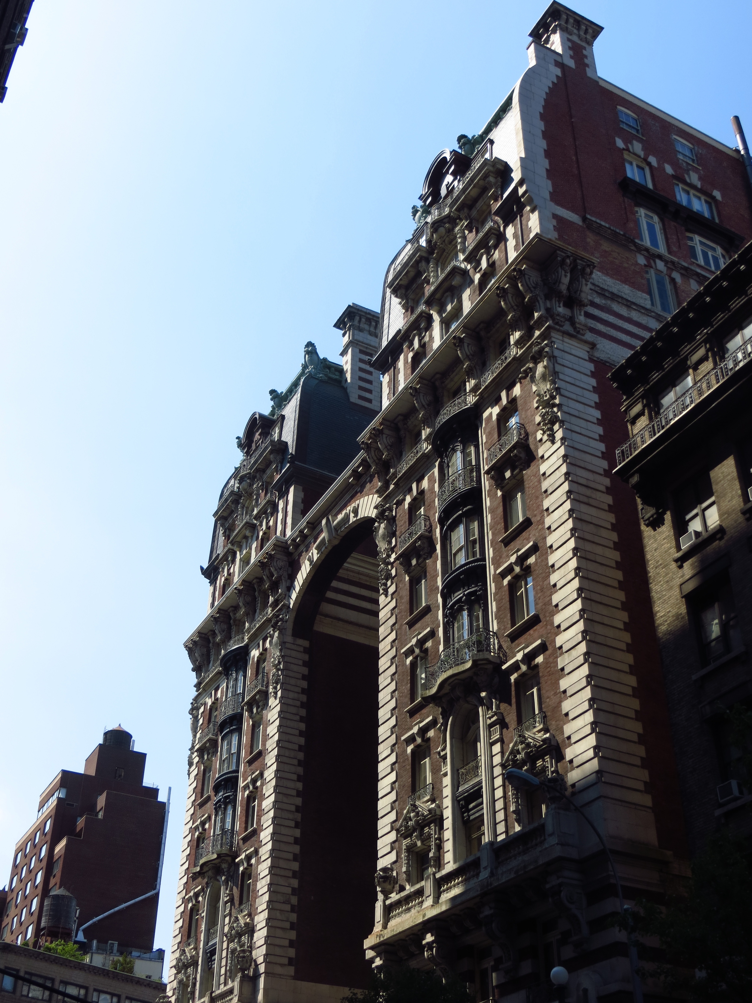
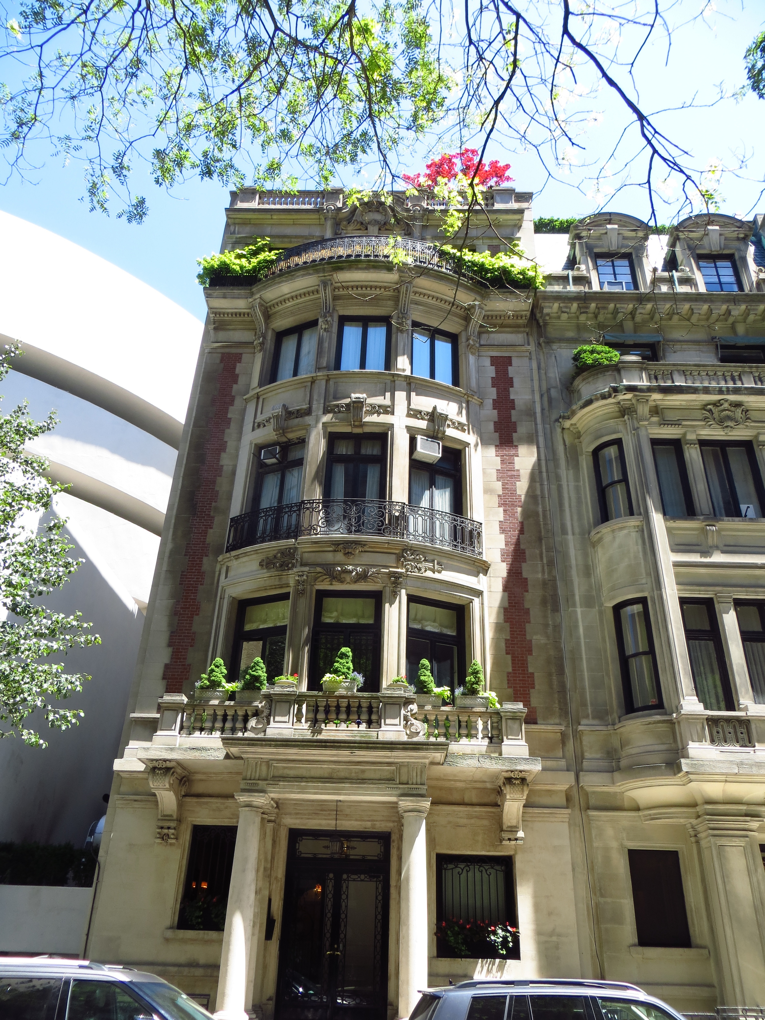
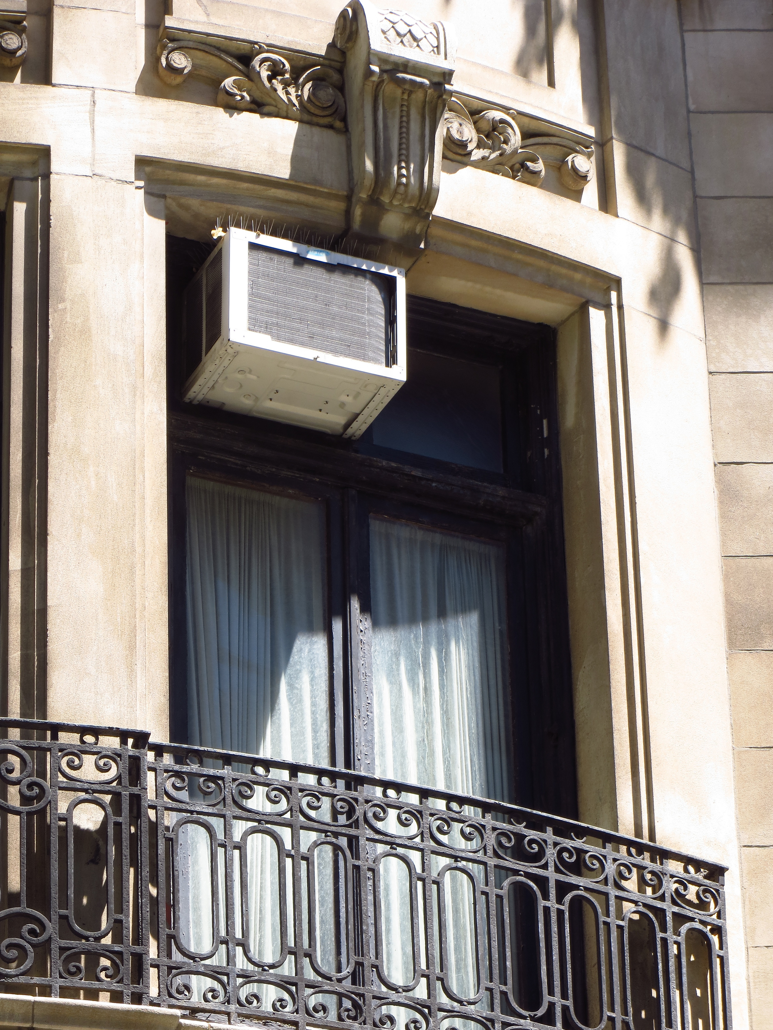
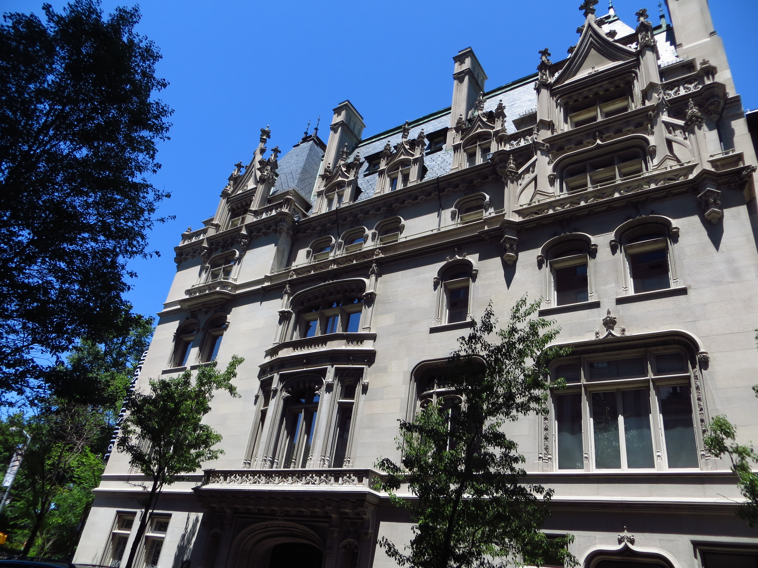
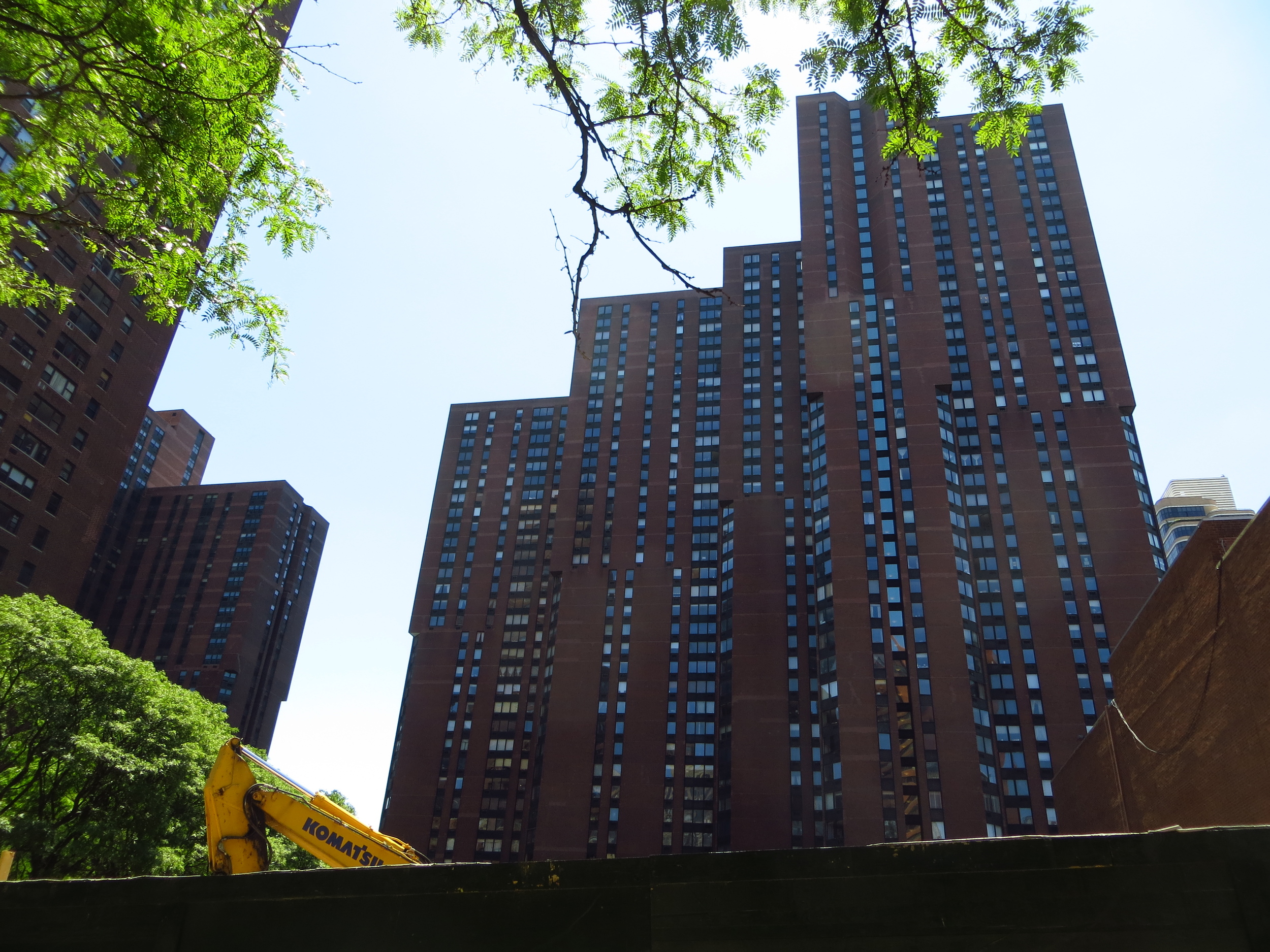
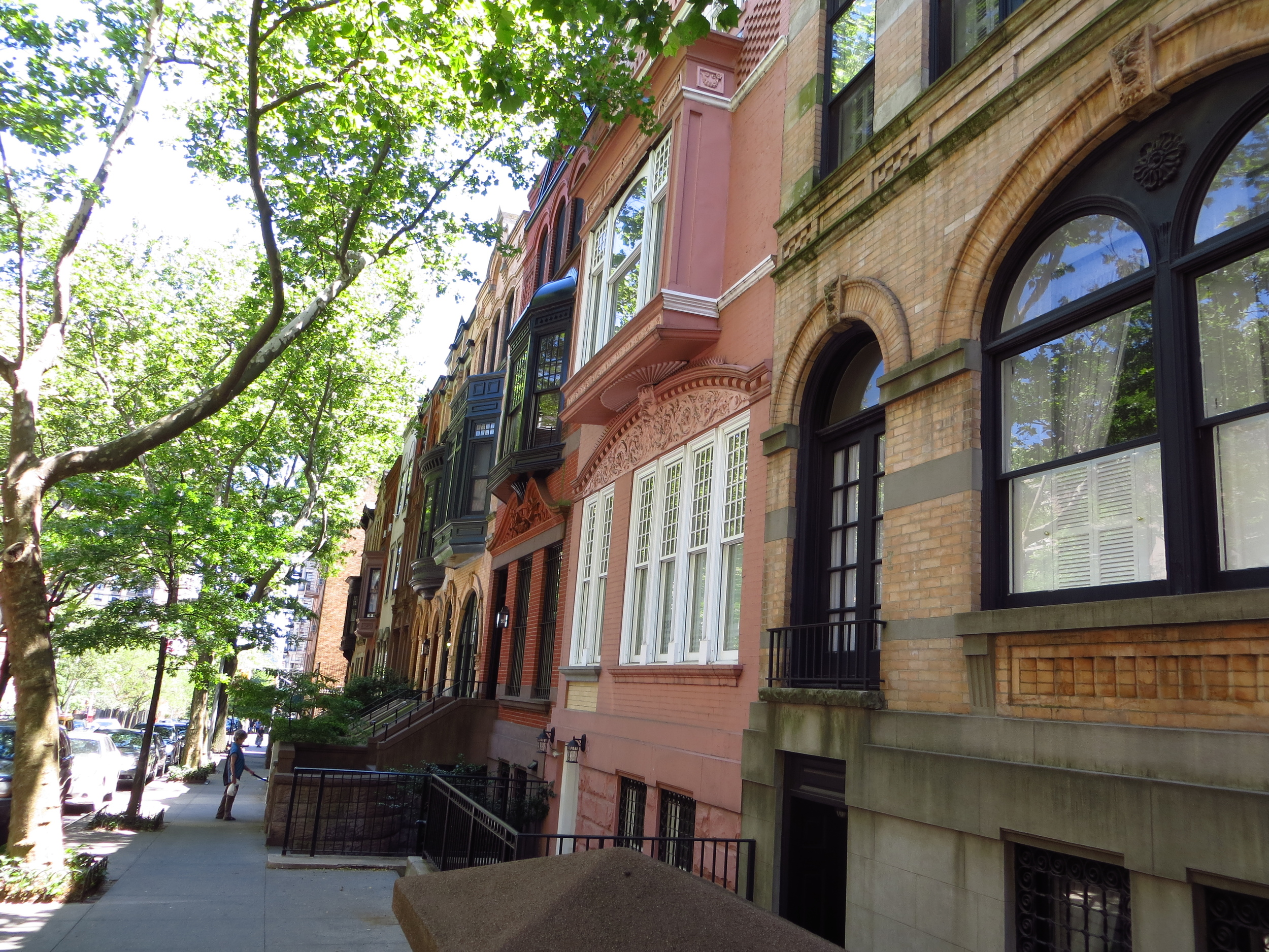
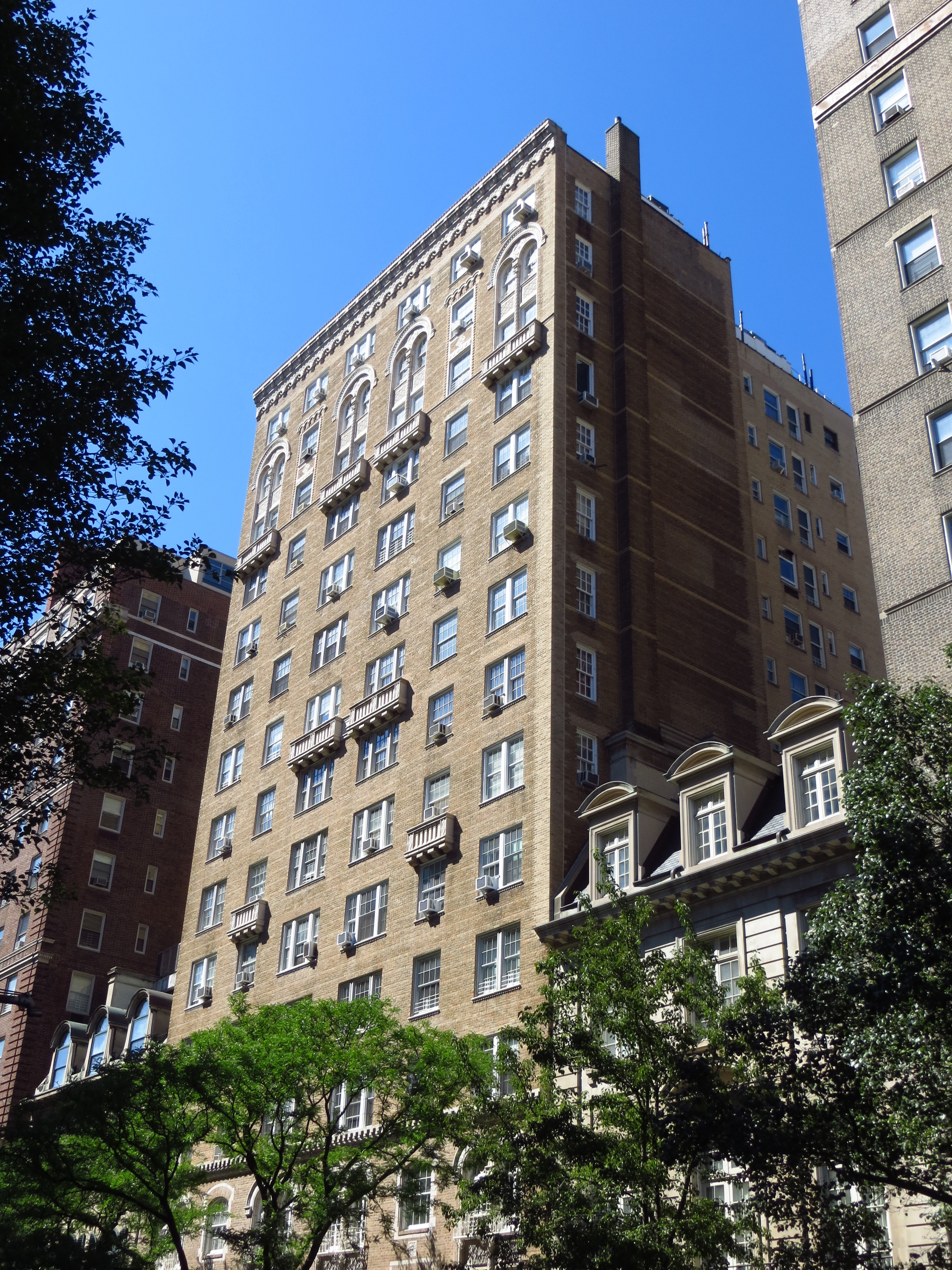
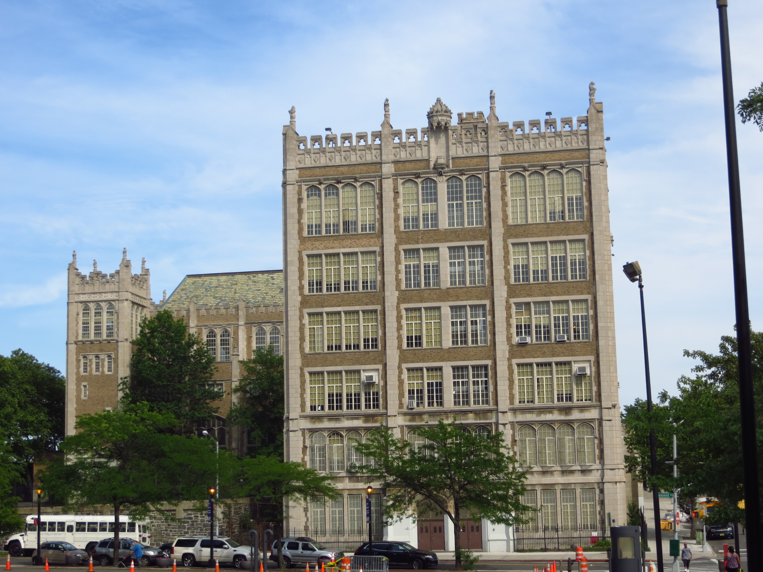
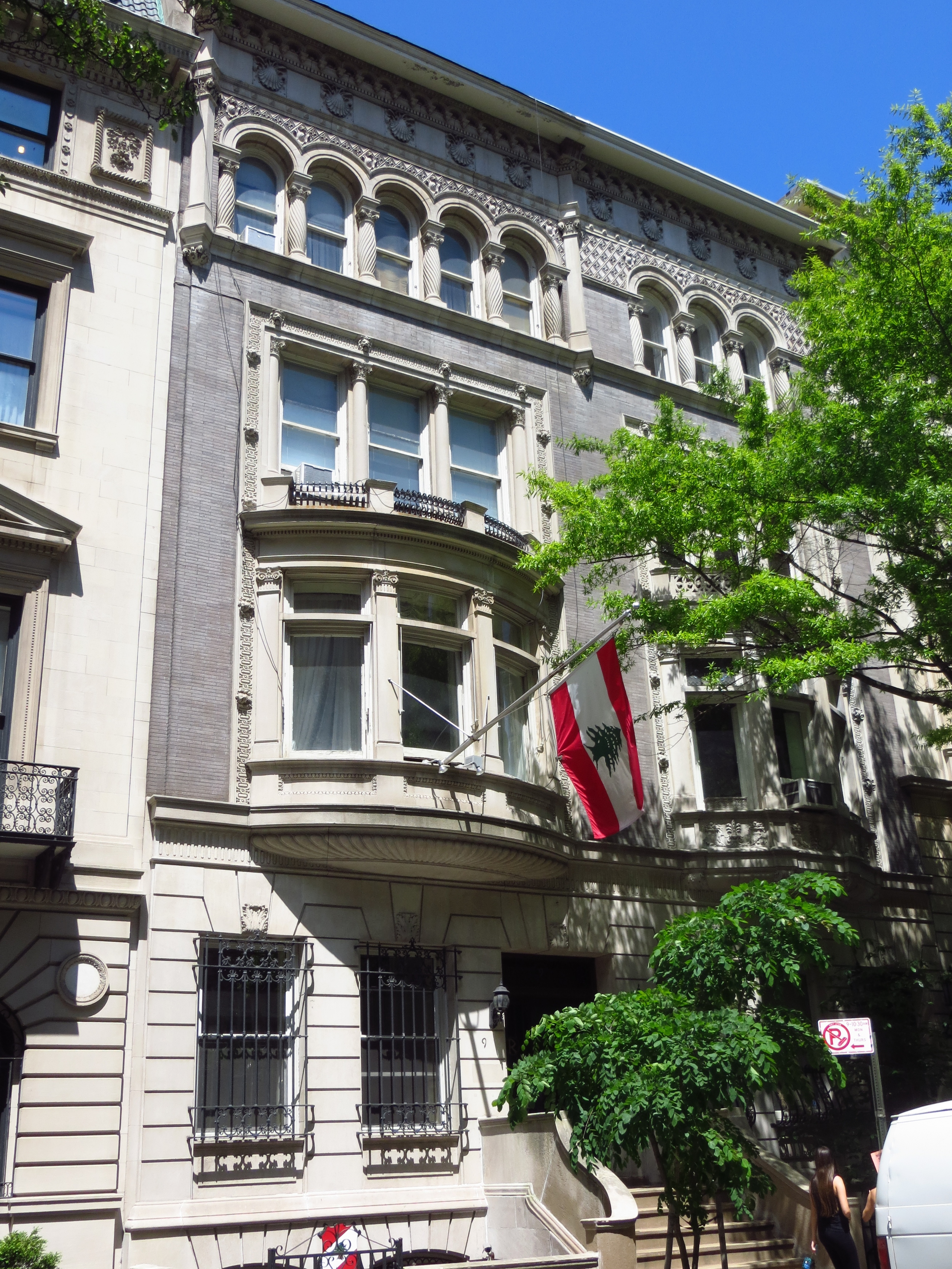
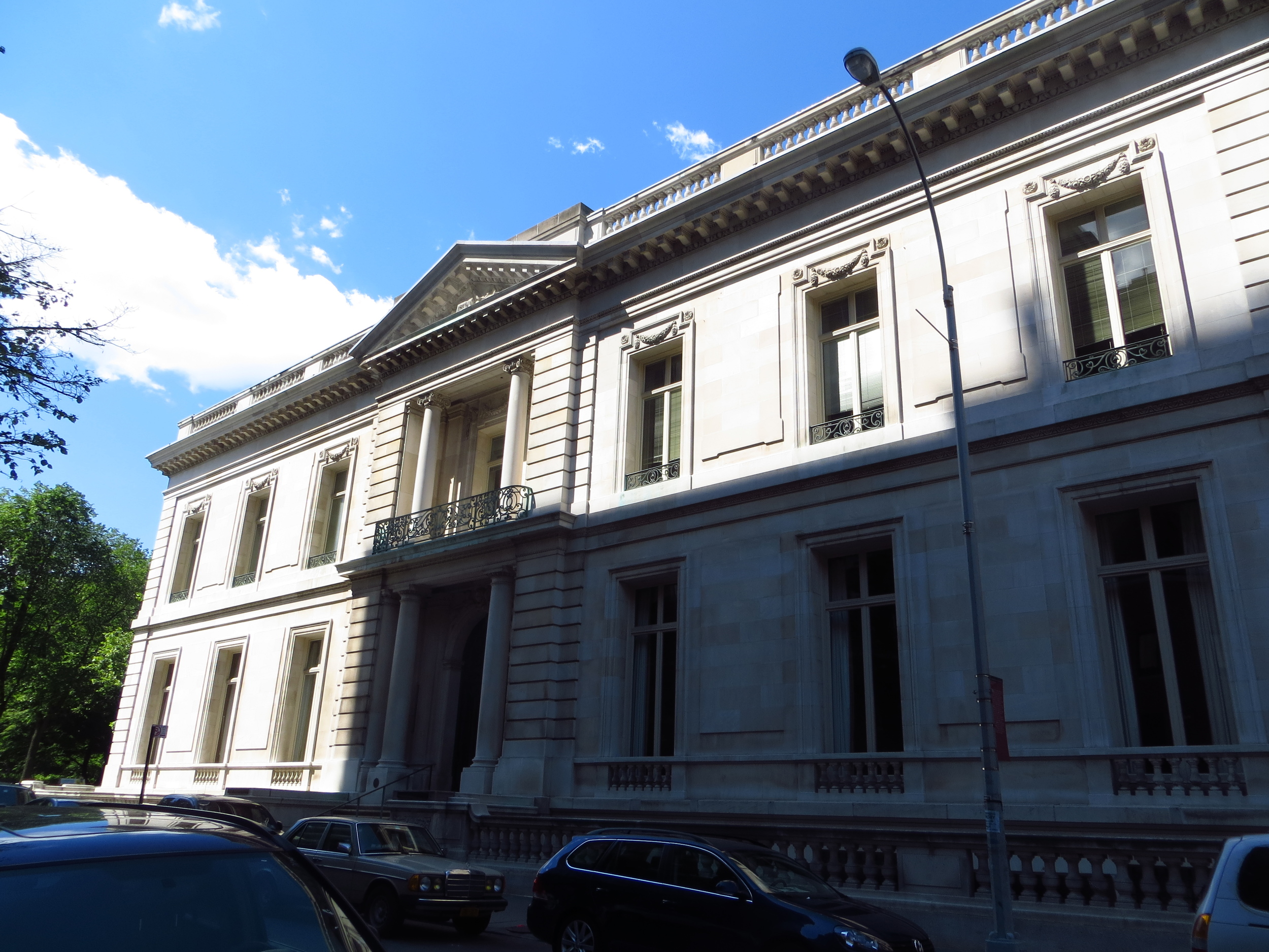
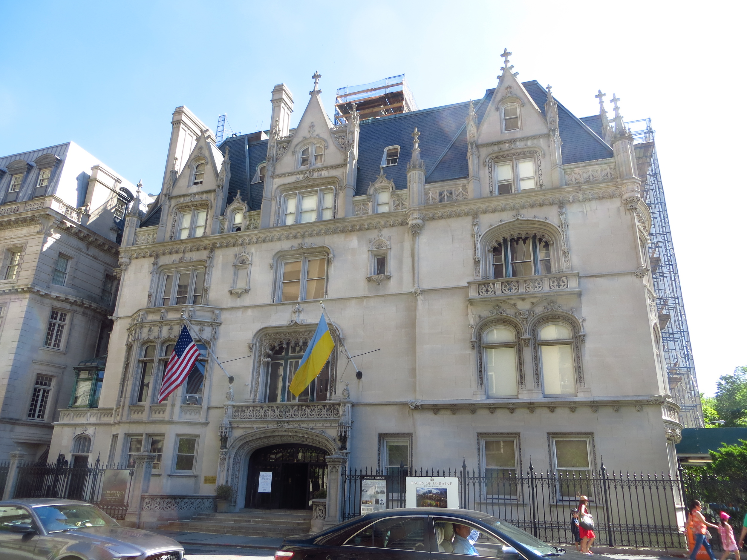
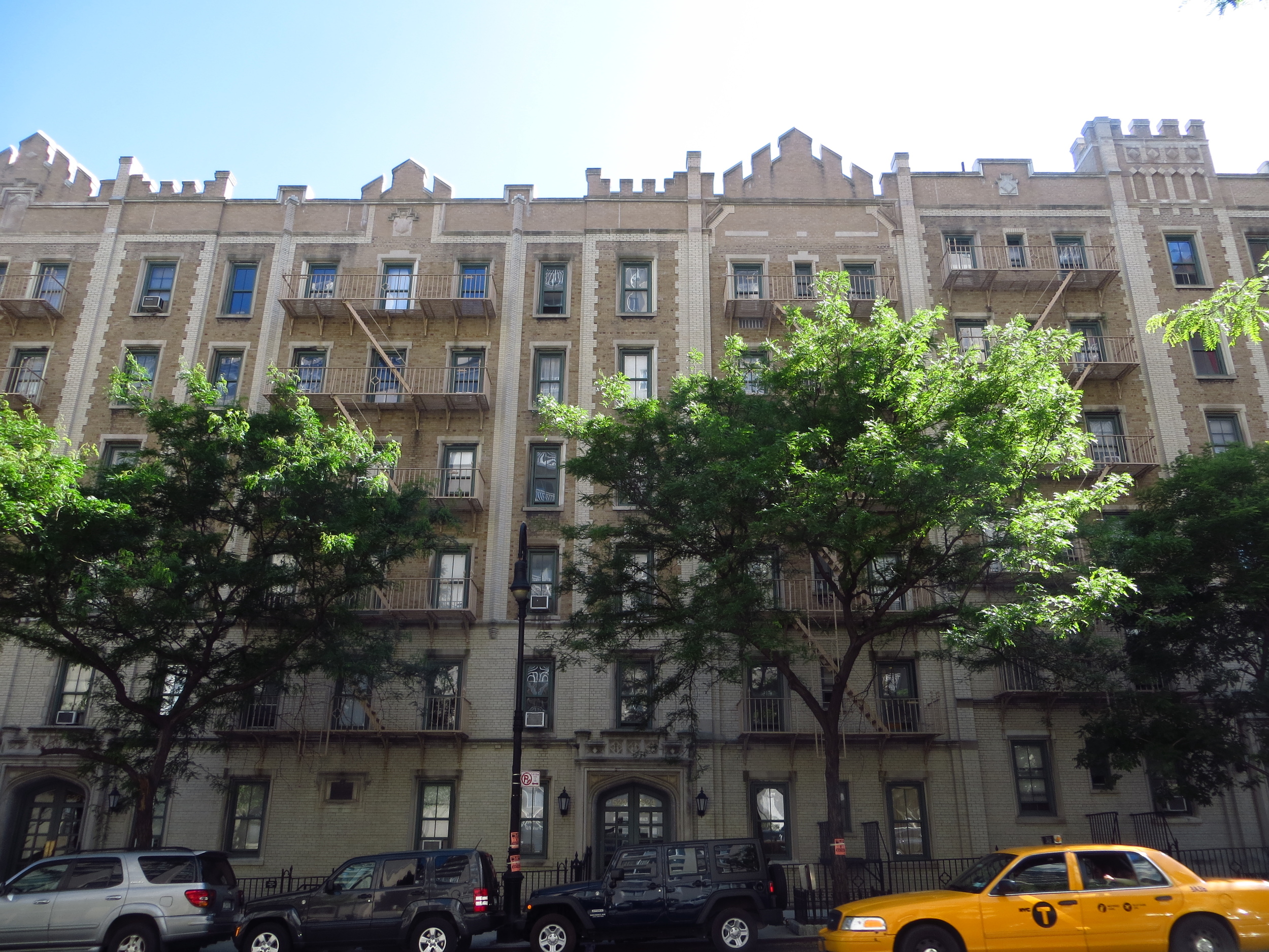
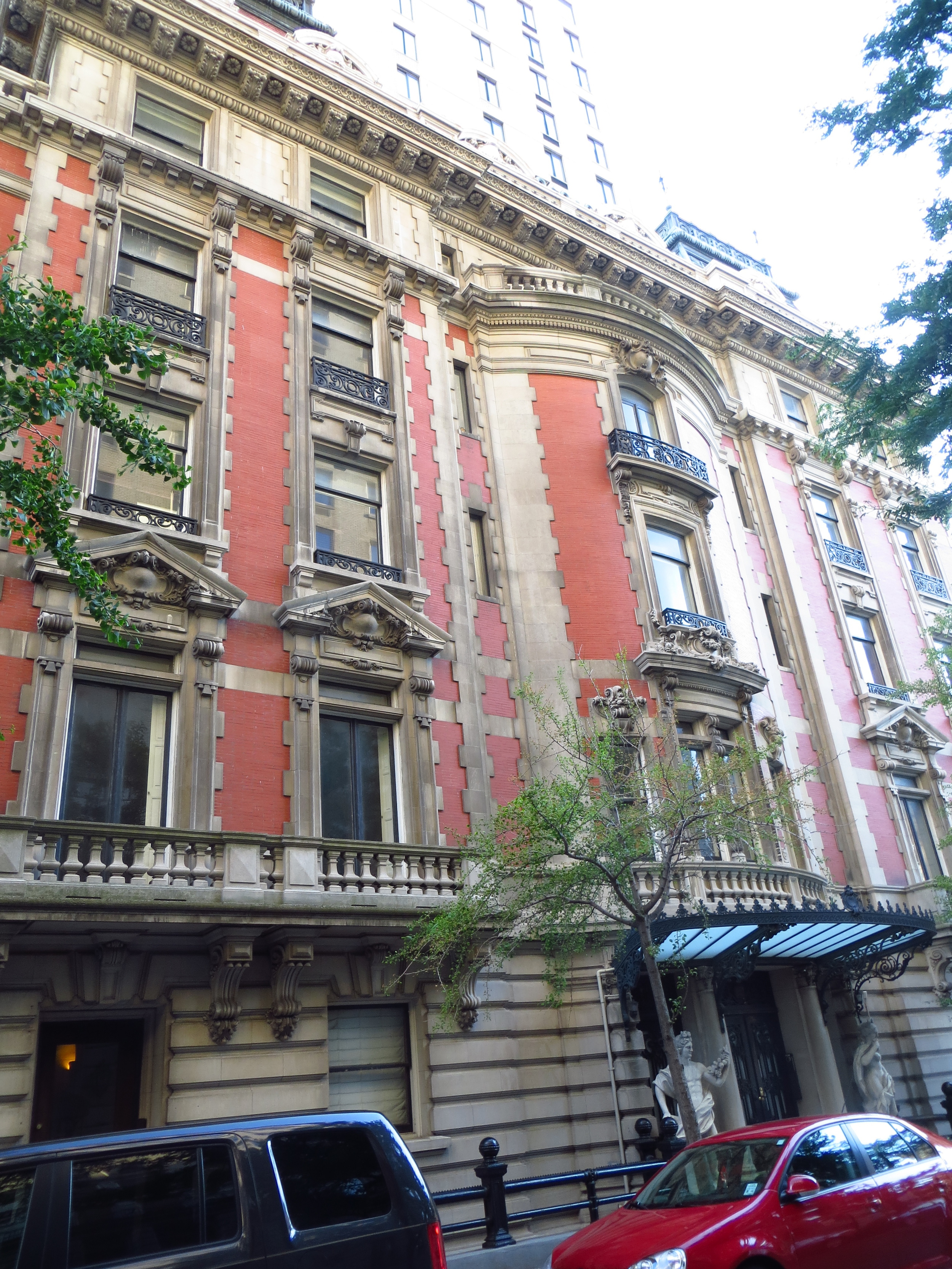
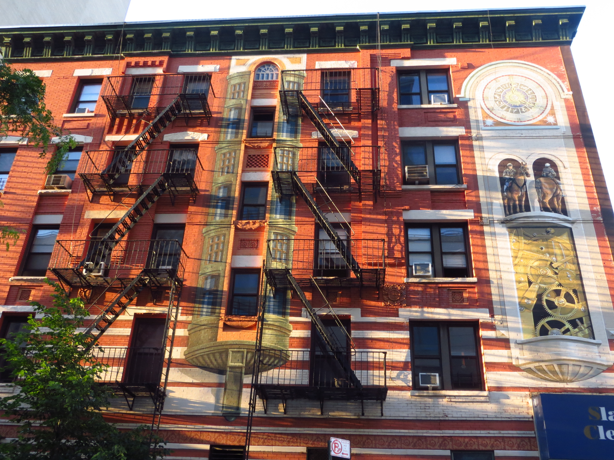
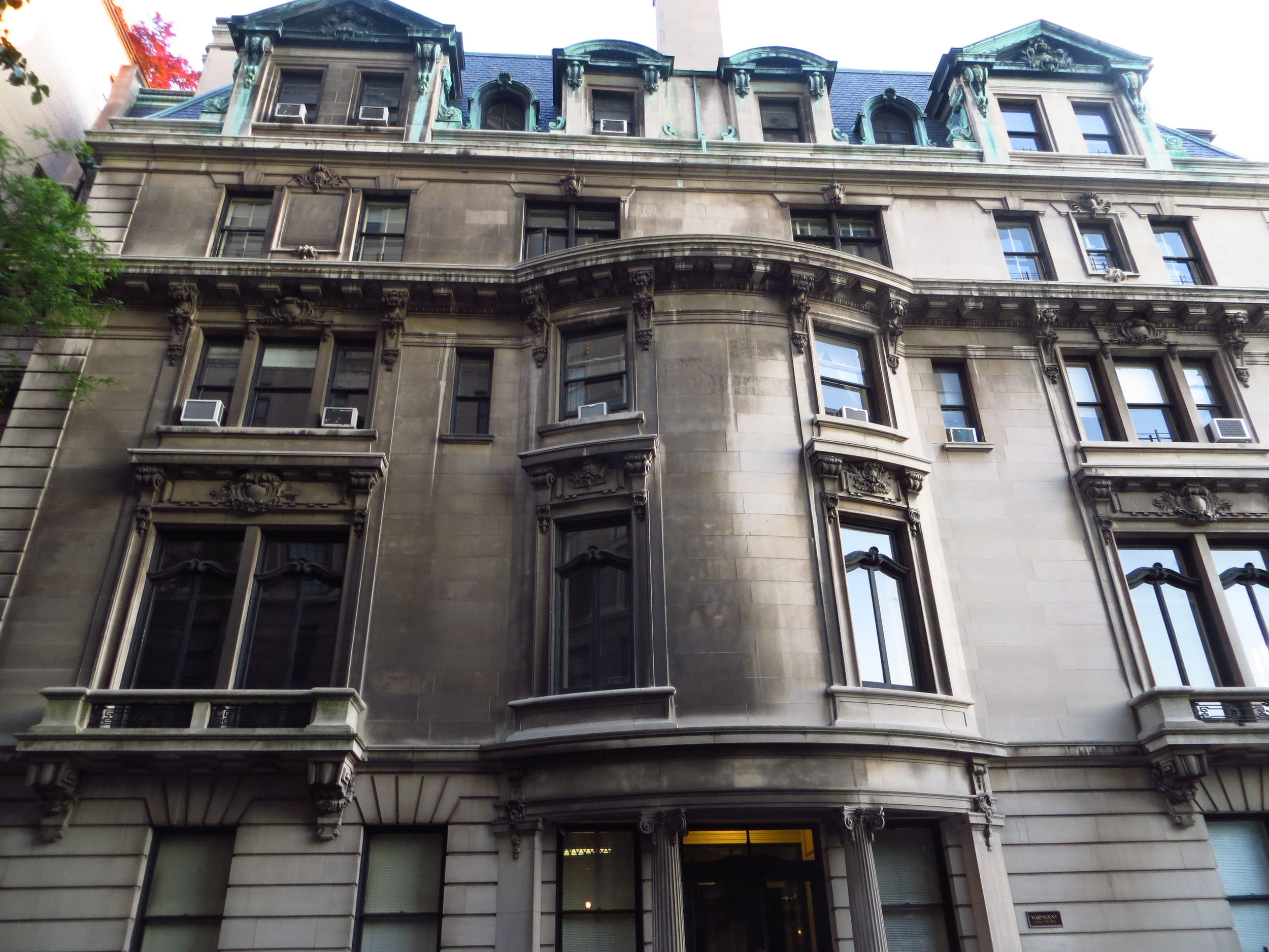
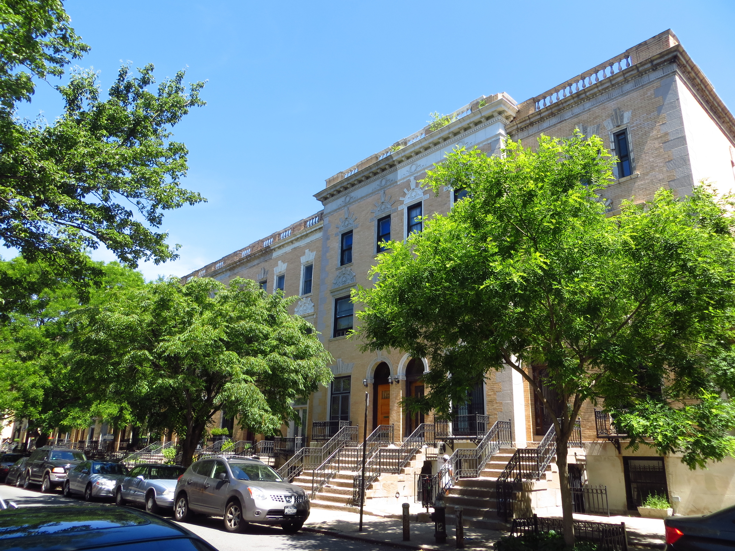
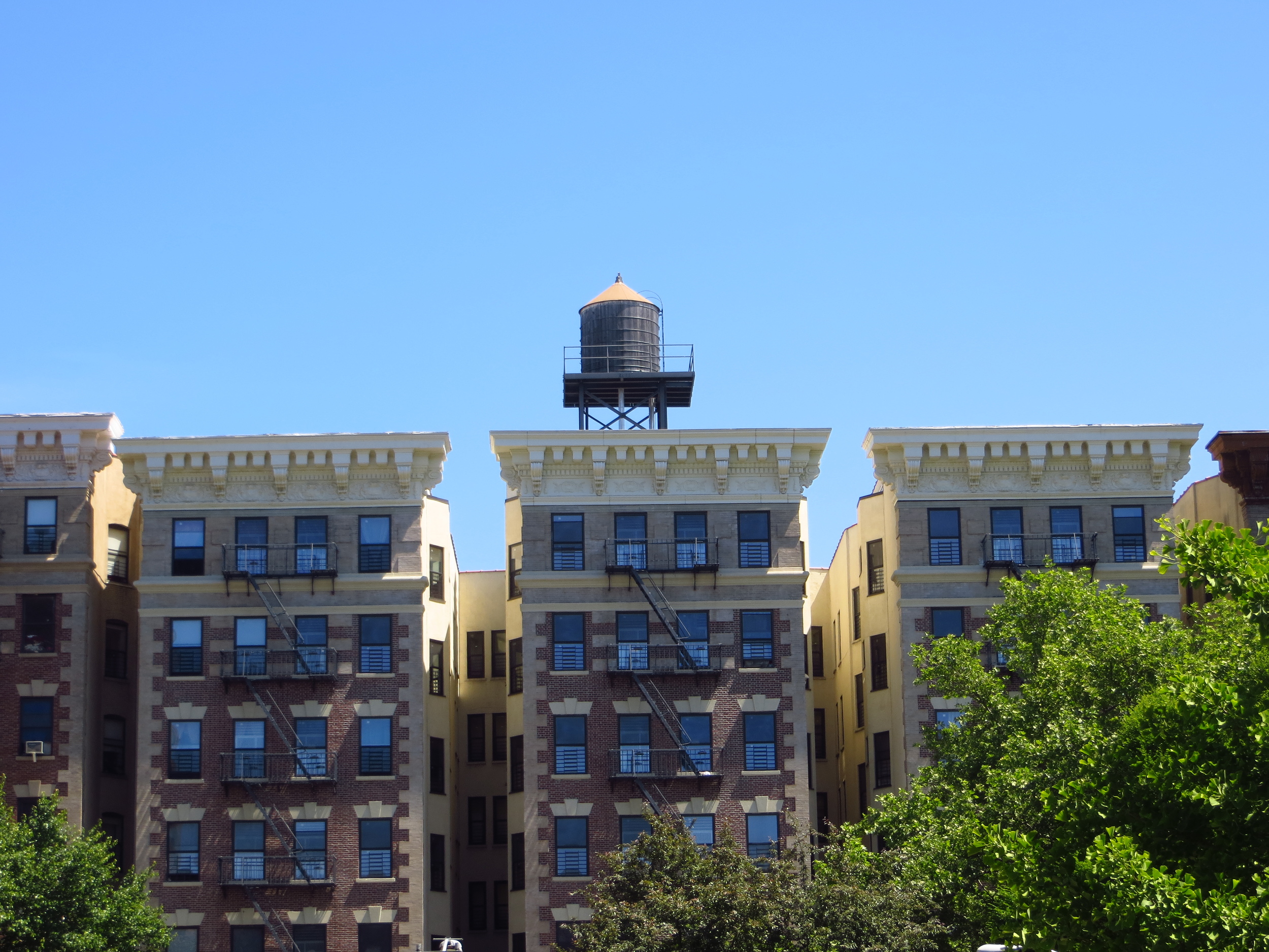
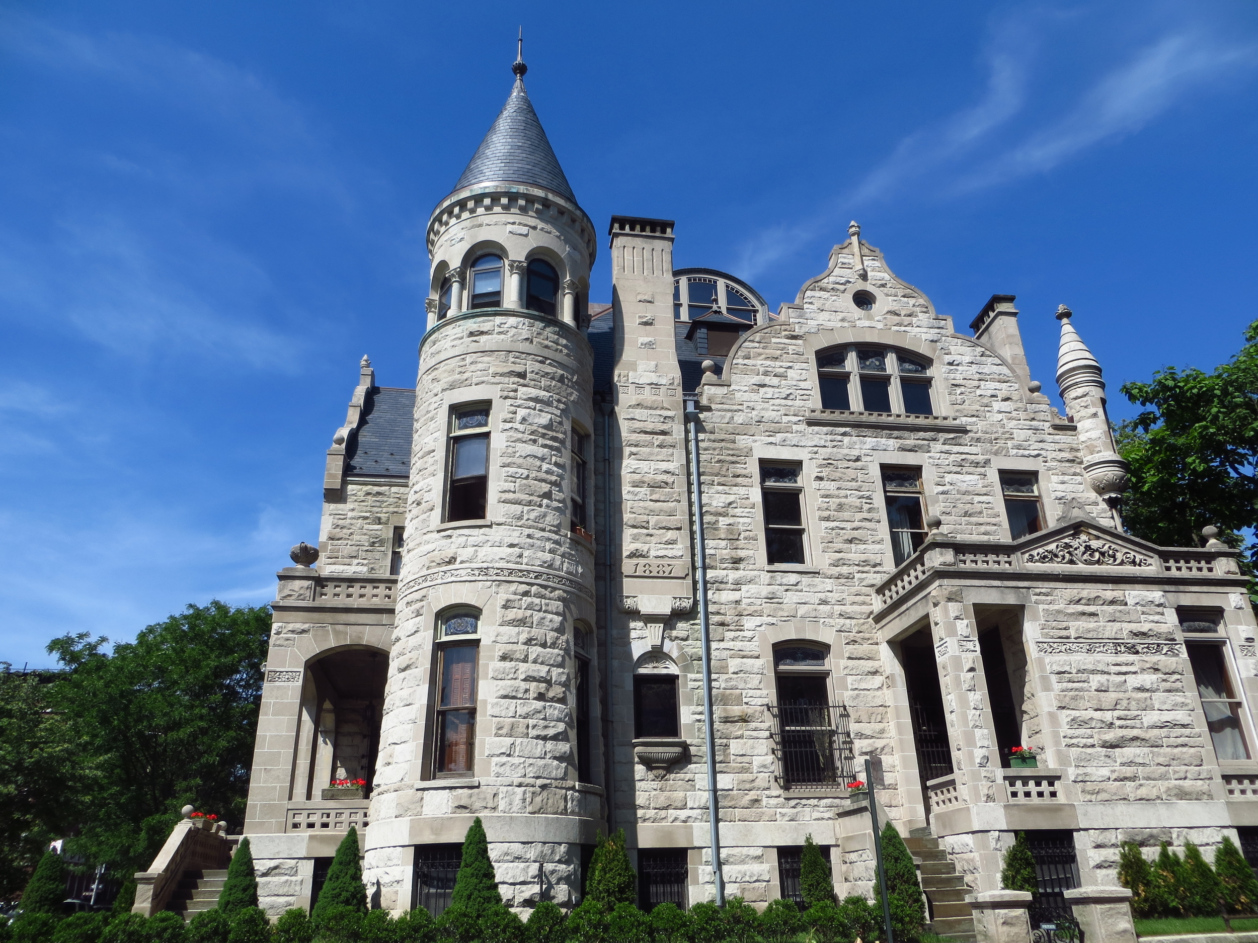
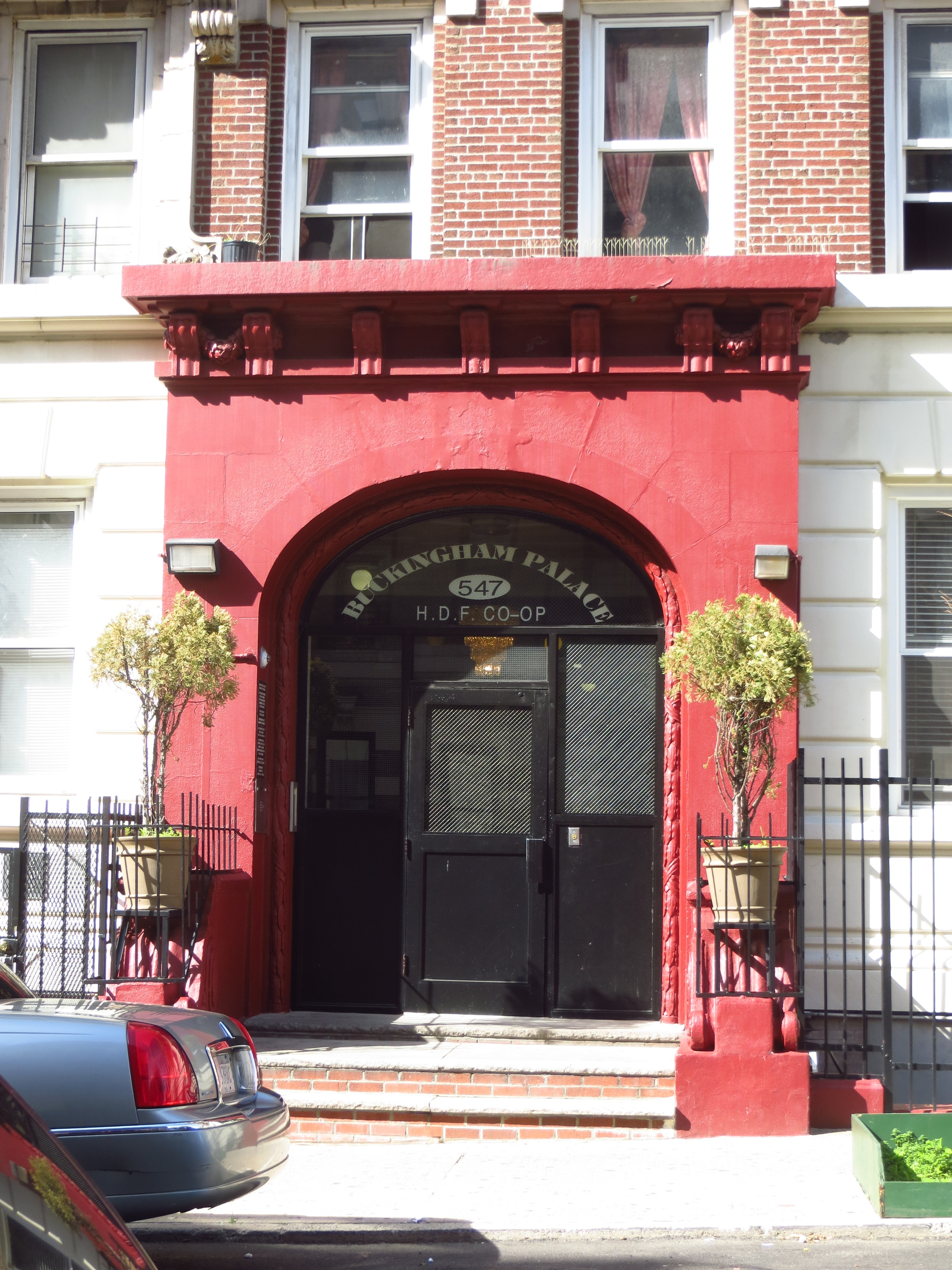
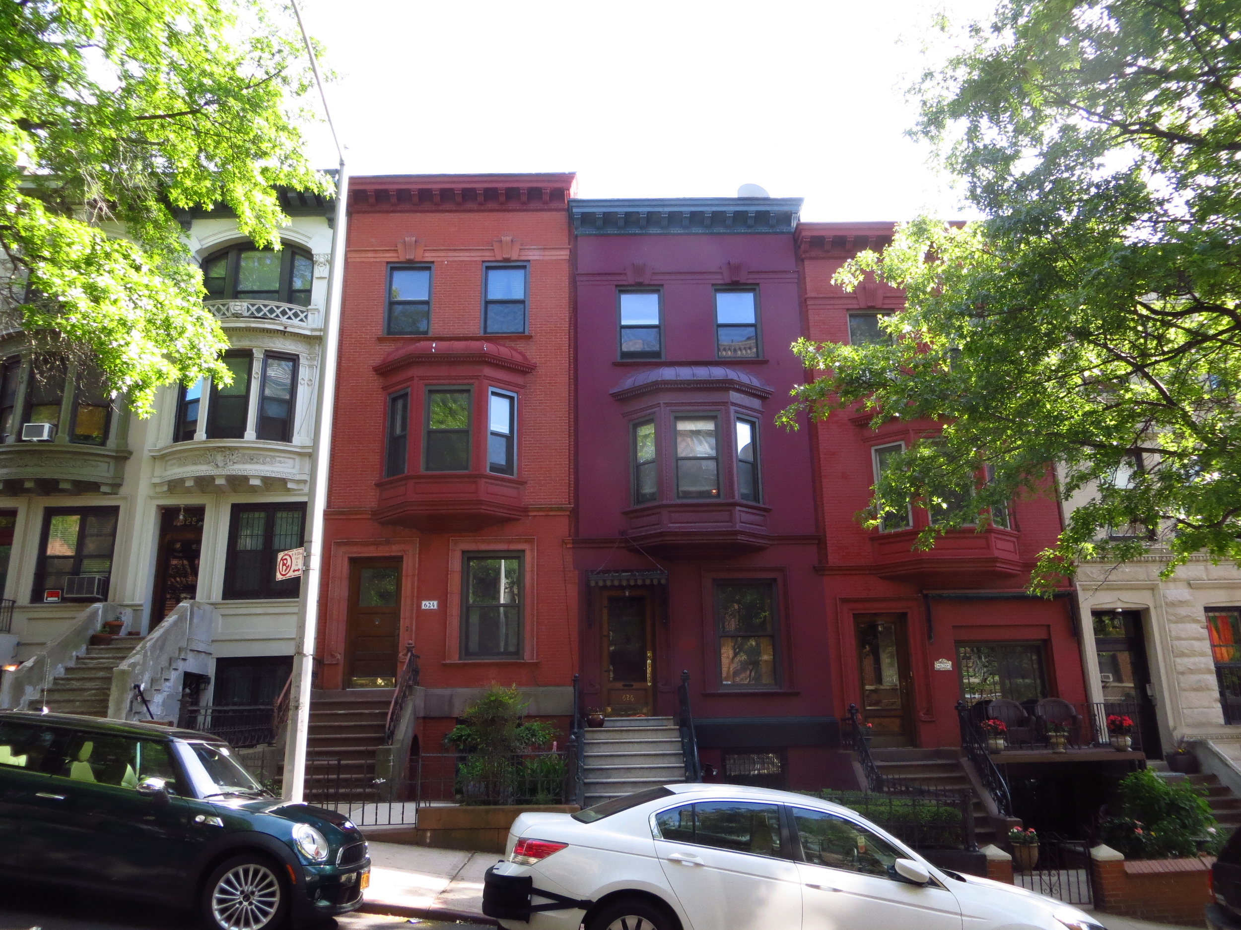
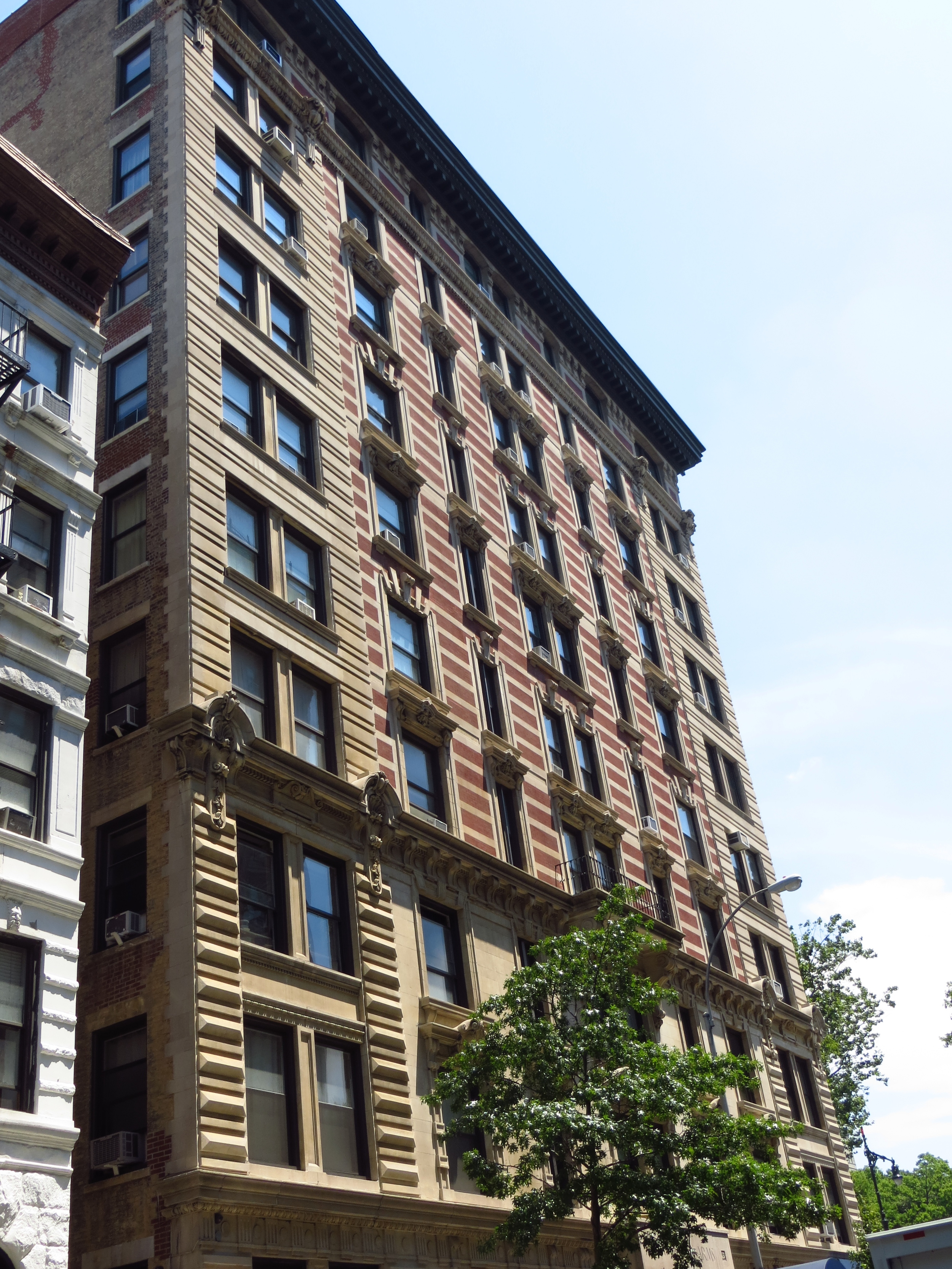
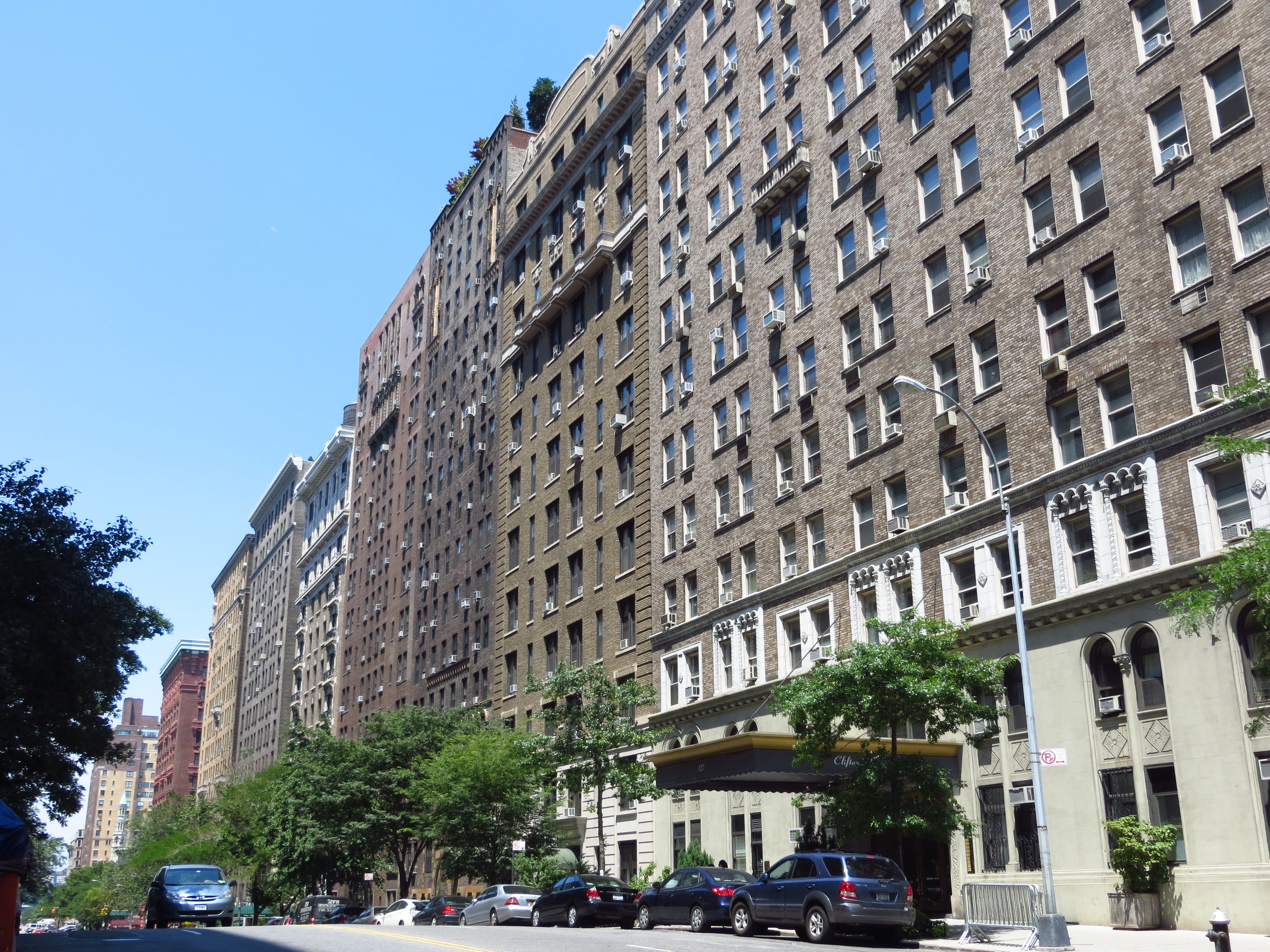
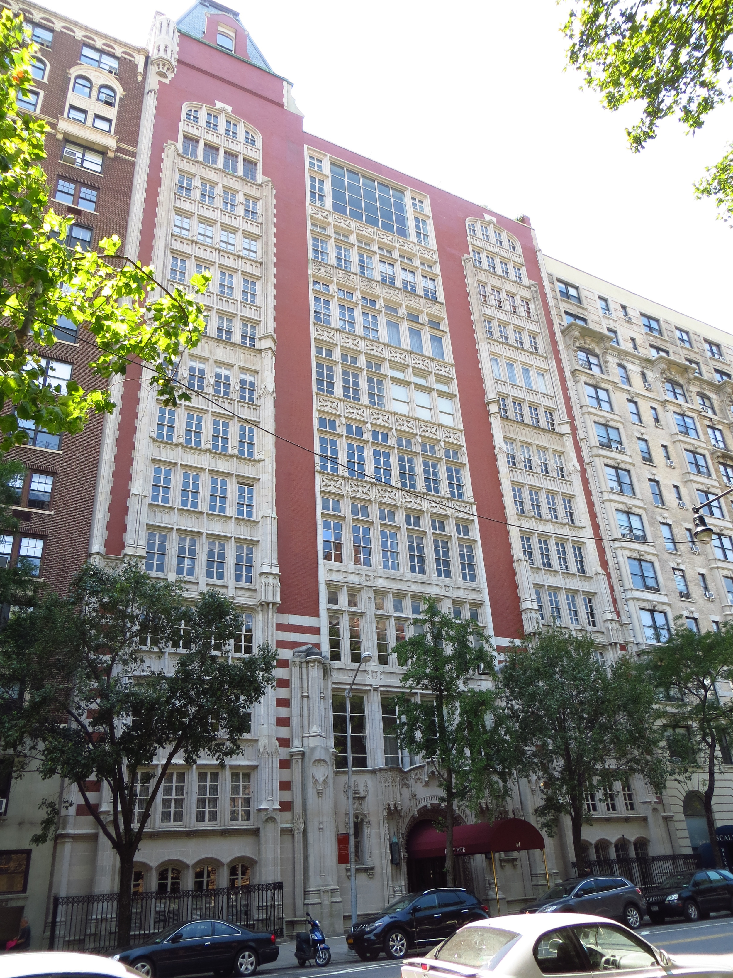
2.) Beautiful old apartment buildings:  The UWS is home to many beautiful old apartment buildings, including the City's first modern luxury apartment, the Dakota.  The Dakota (W 72nd St. at Central Park West) was commissioned by Edward Clark (owner of the Singer Sewing Machine Company) and designed by the same architects that built the Plaza Hotel.  It is best known for being was the setting for the movie Rosemary's Baby in 1968 and the scene of John Lennon's murder in 1980.  

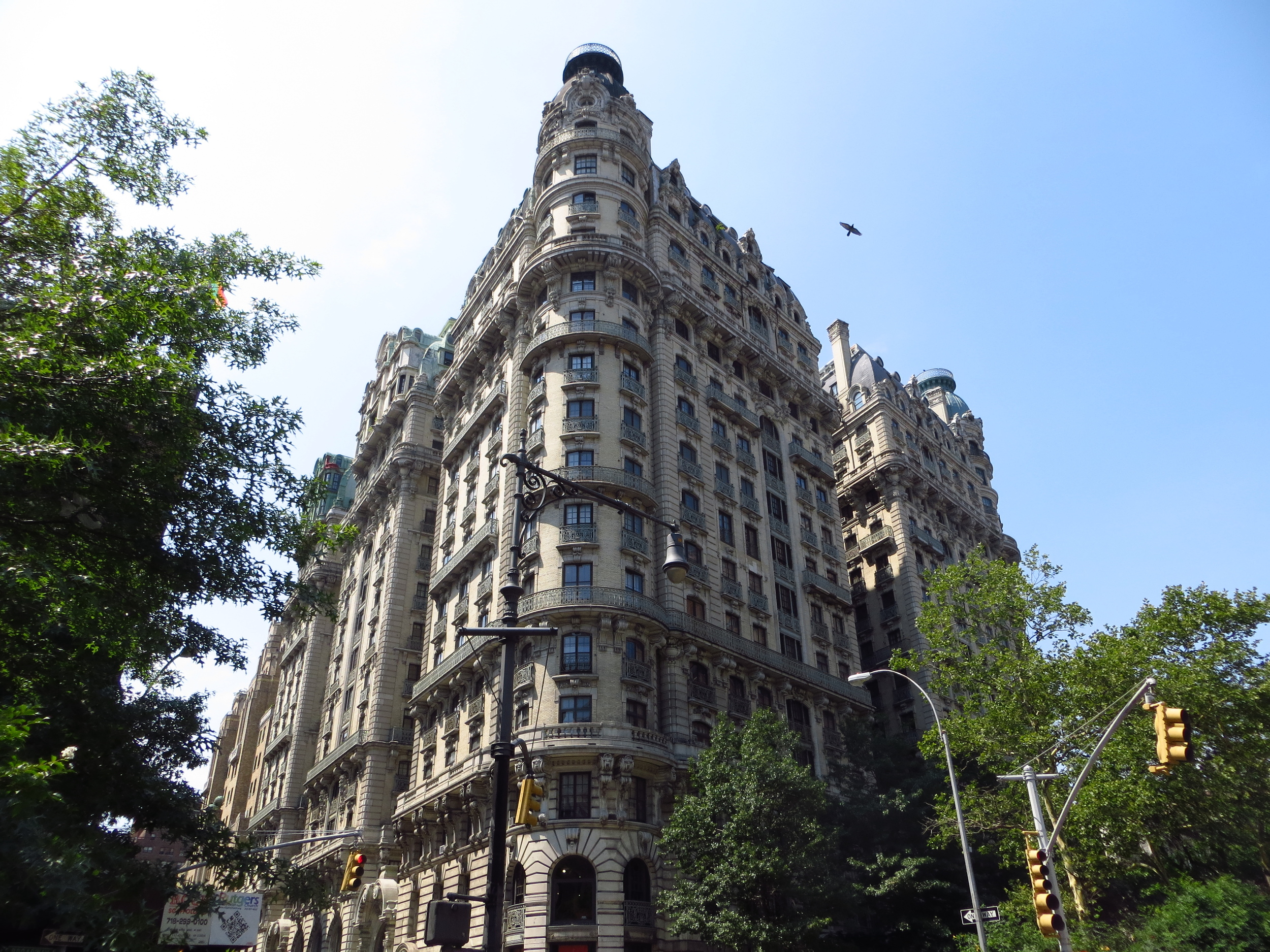
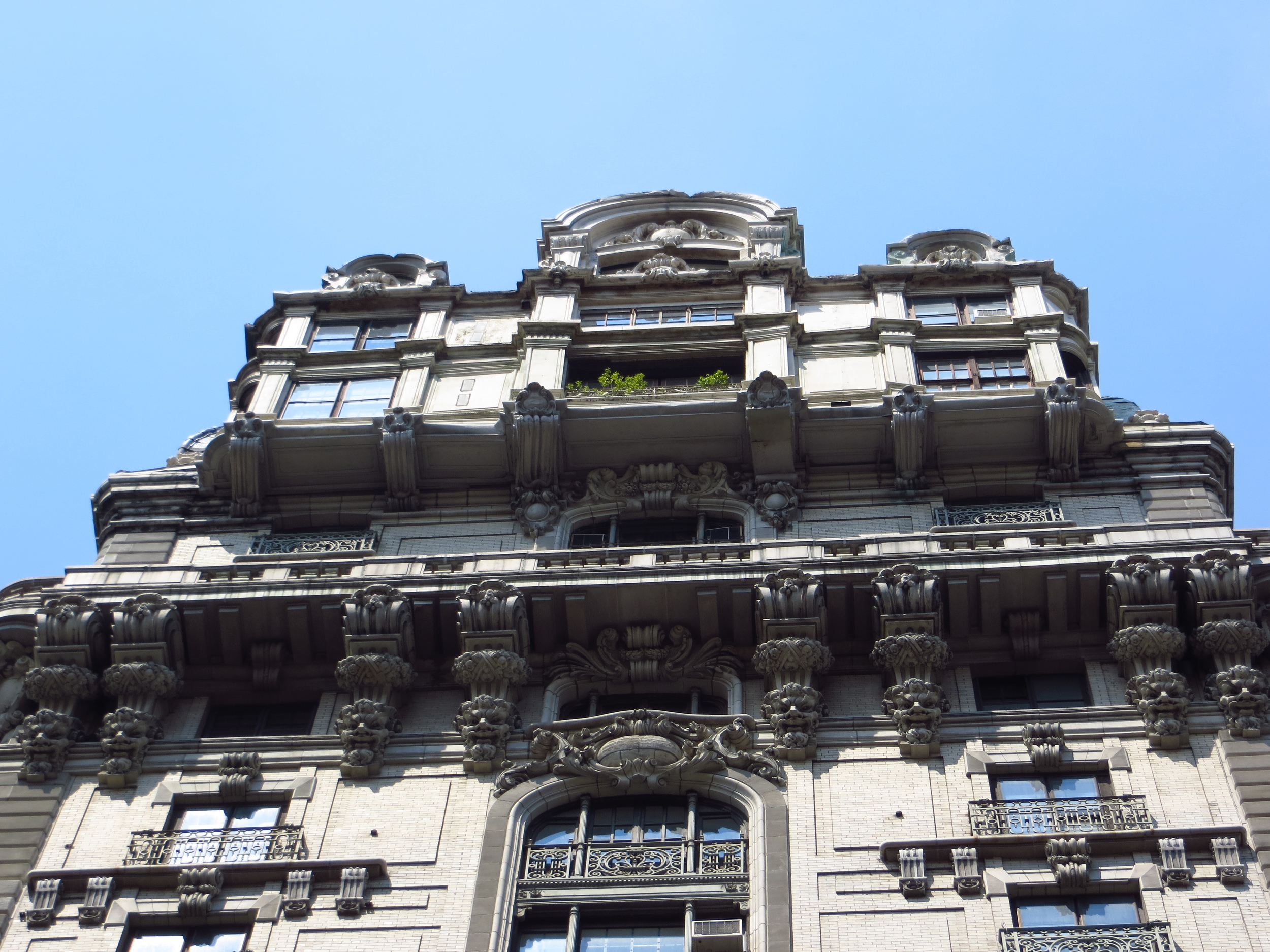
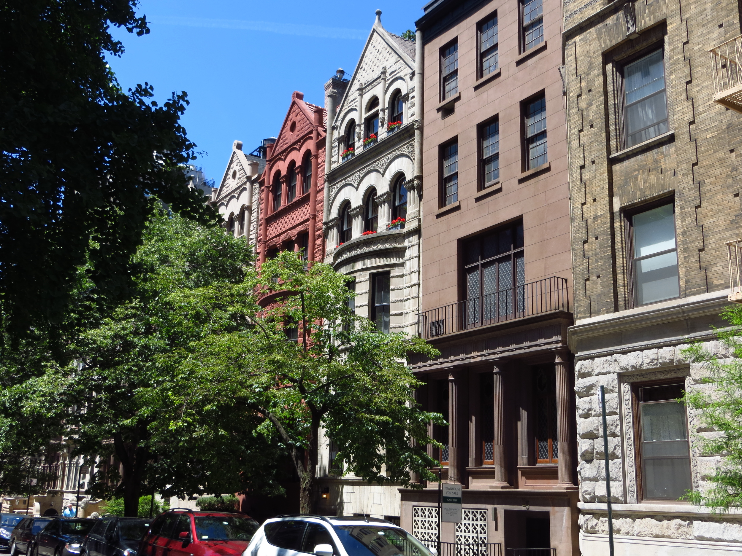
Although the Dakota is the most famous of the old UWS apartment buildings, there are many others in the vicinity of W 72nd St. that are also worth seeing.  In fact, my favorite building in the entire city (residential building, at least) is the Ansonia, down the street at 73rd and Broadway.  Completed in 1904, the Ansonia was not only the largest residential hotel of its day, but also the first to have air conditioning.  Babe Ruth used to live there and Bette Midler got her start at a gay bathhouse in the basement in the 1970's (source: Wikipedia).

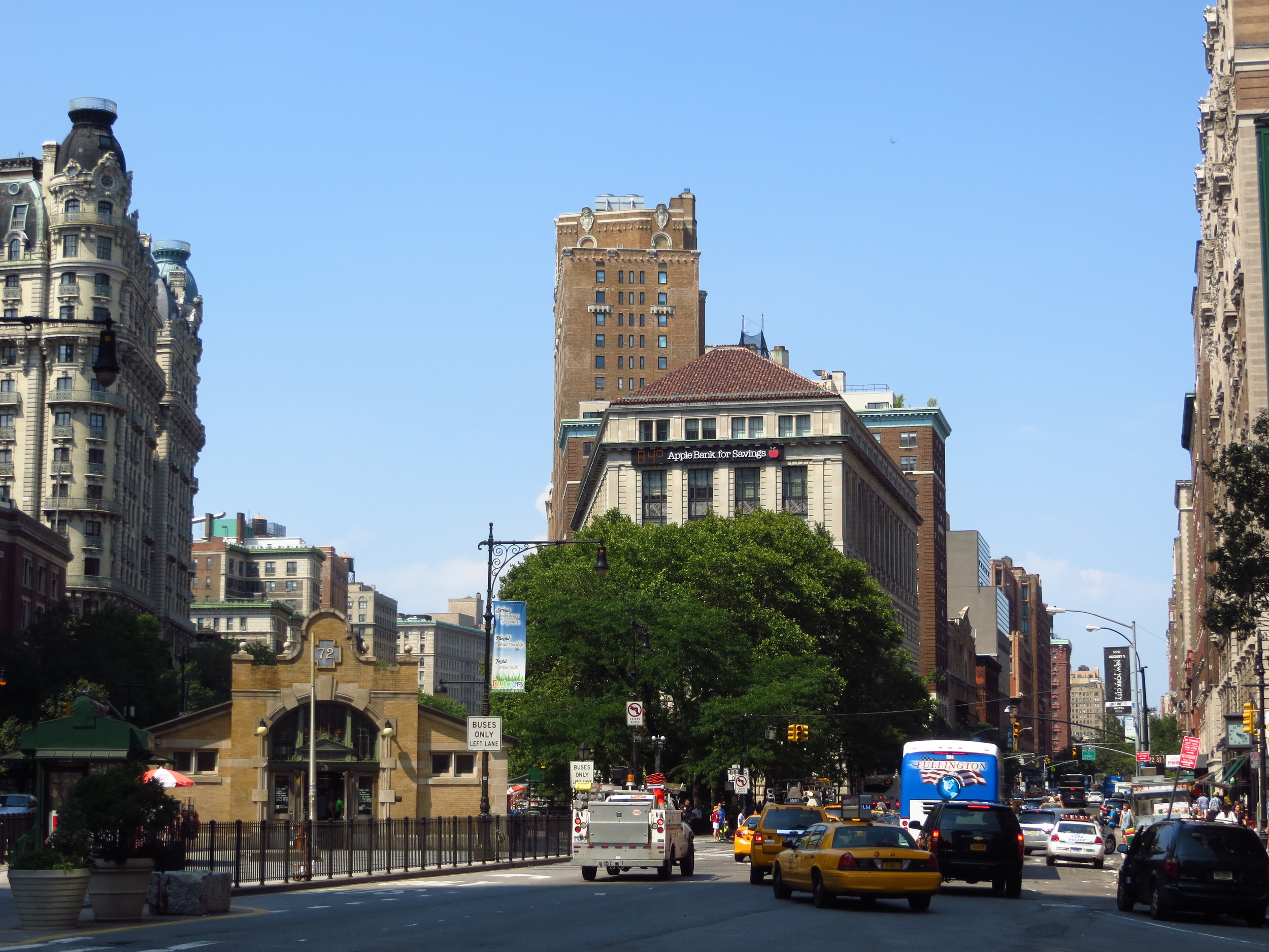
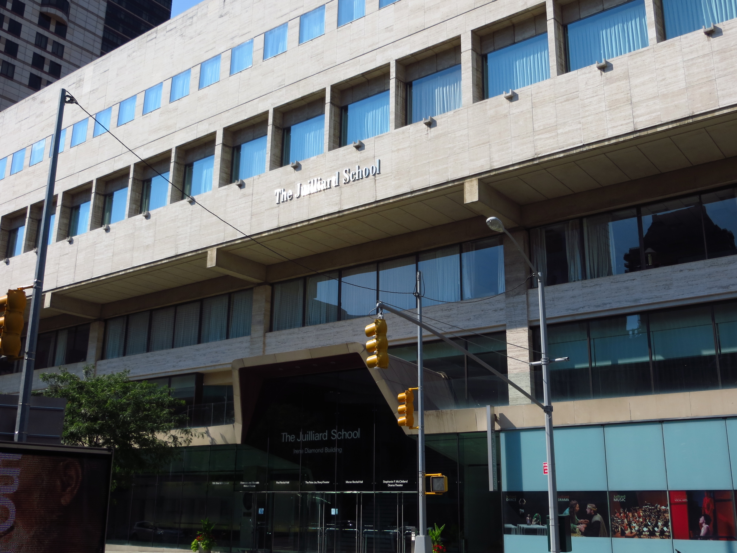
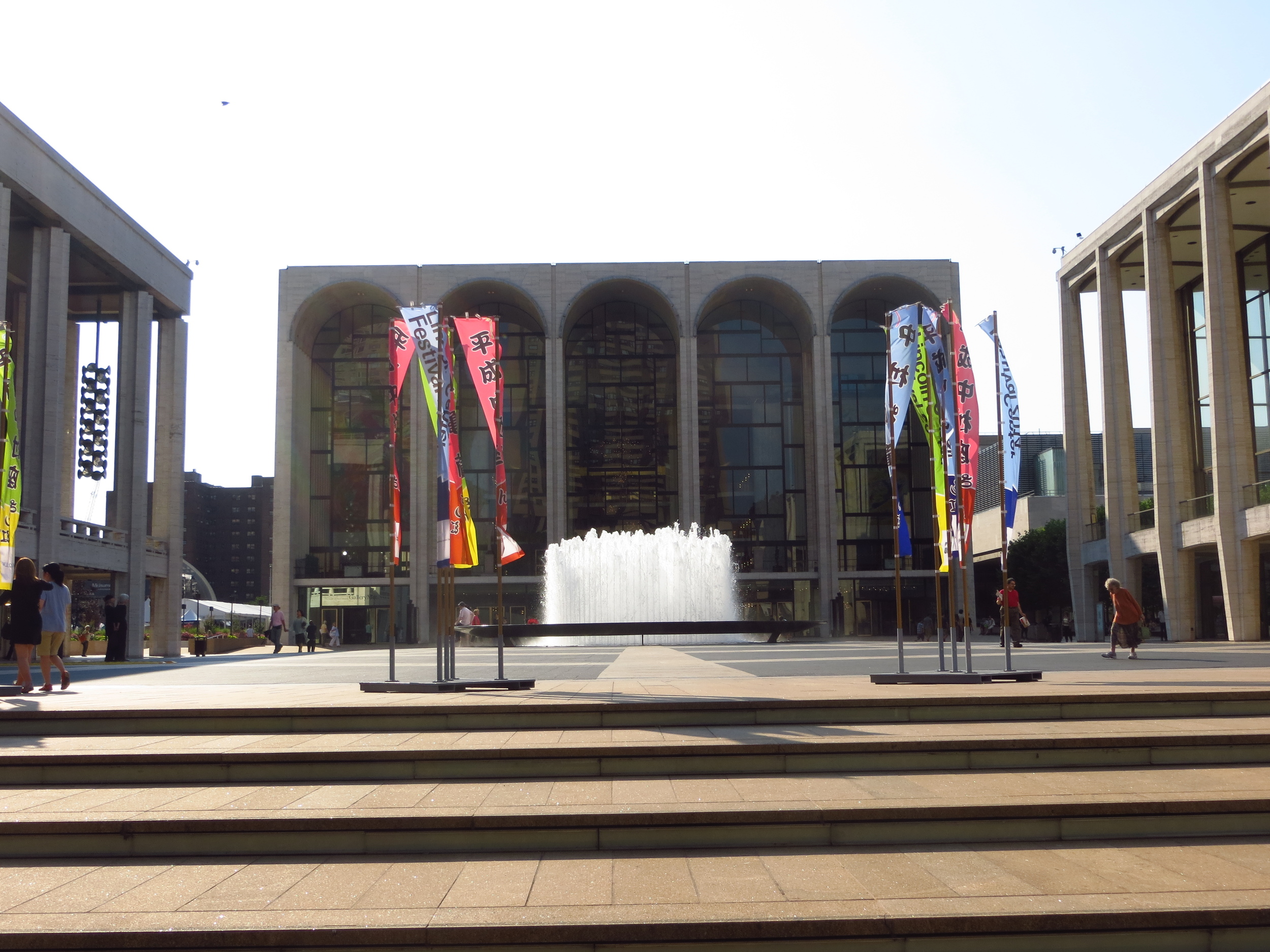
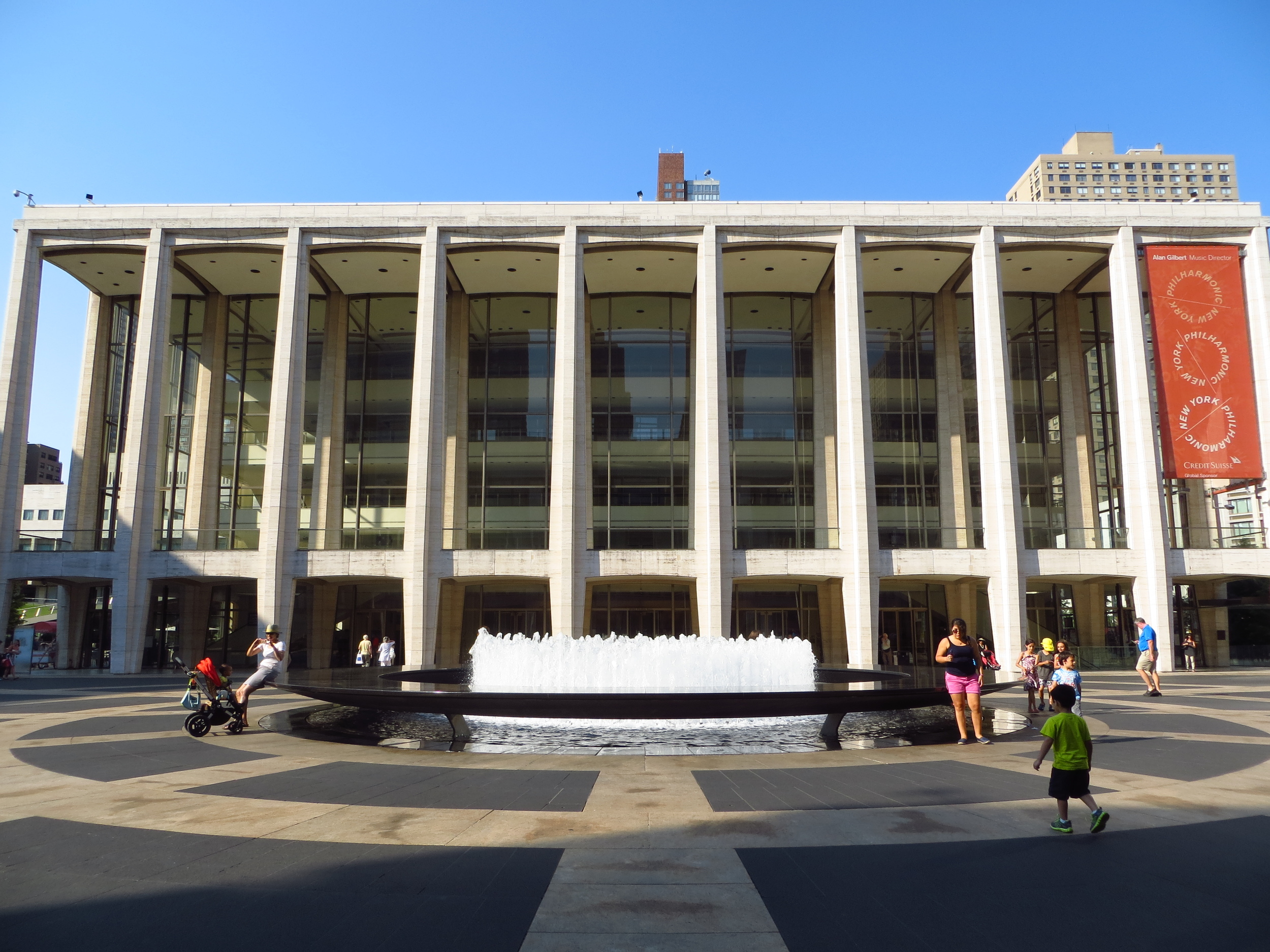
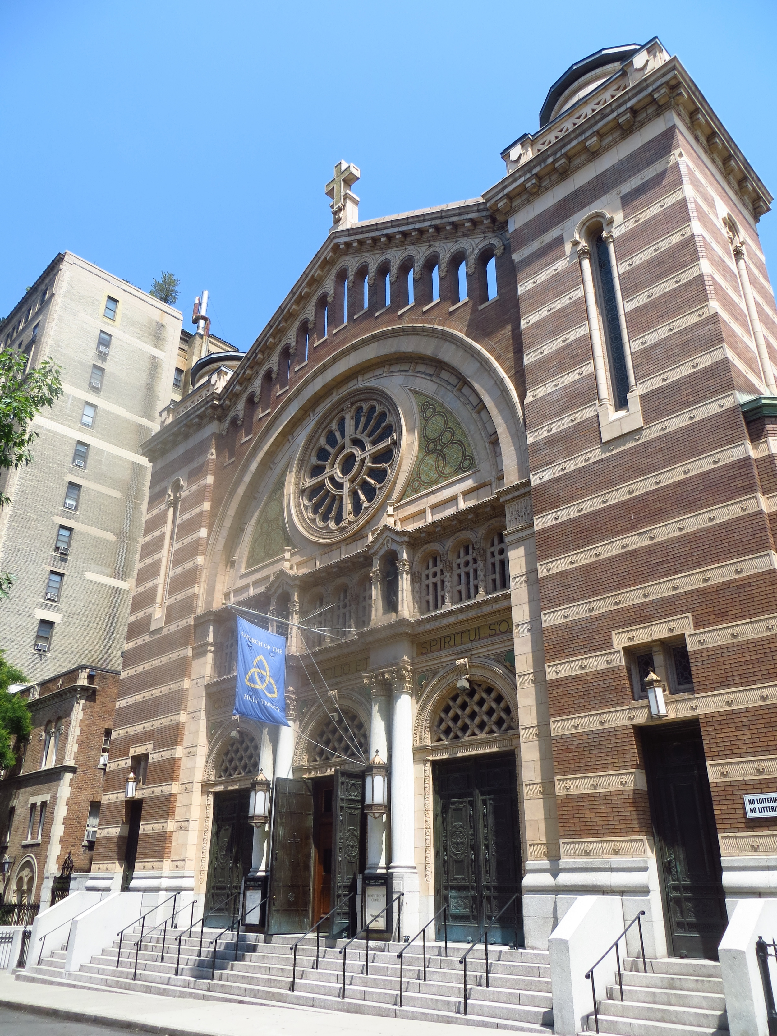
3.) Lincoln Center:  Lincoln Center is a 16+ acre performing arts complex.  It has 30 indoor and outdoor venues and is to the Metropolitan Opera, New York City Ballet and the New York Philharmonic. It is conveniently located across the street from the Juilliard School, America's foremost school for the performing arts. 
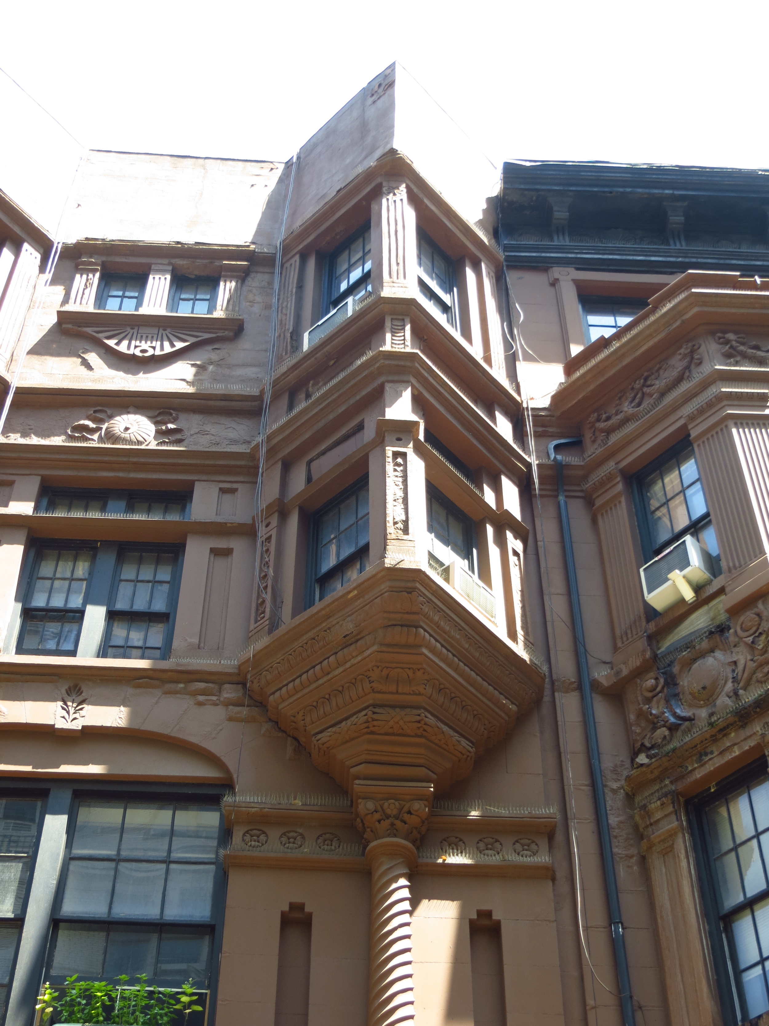
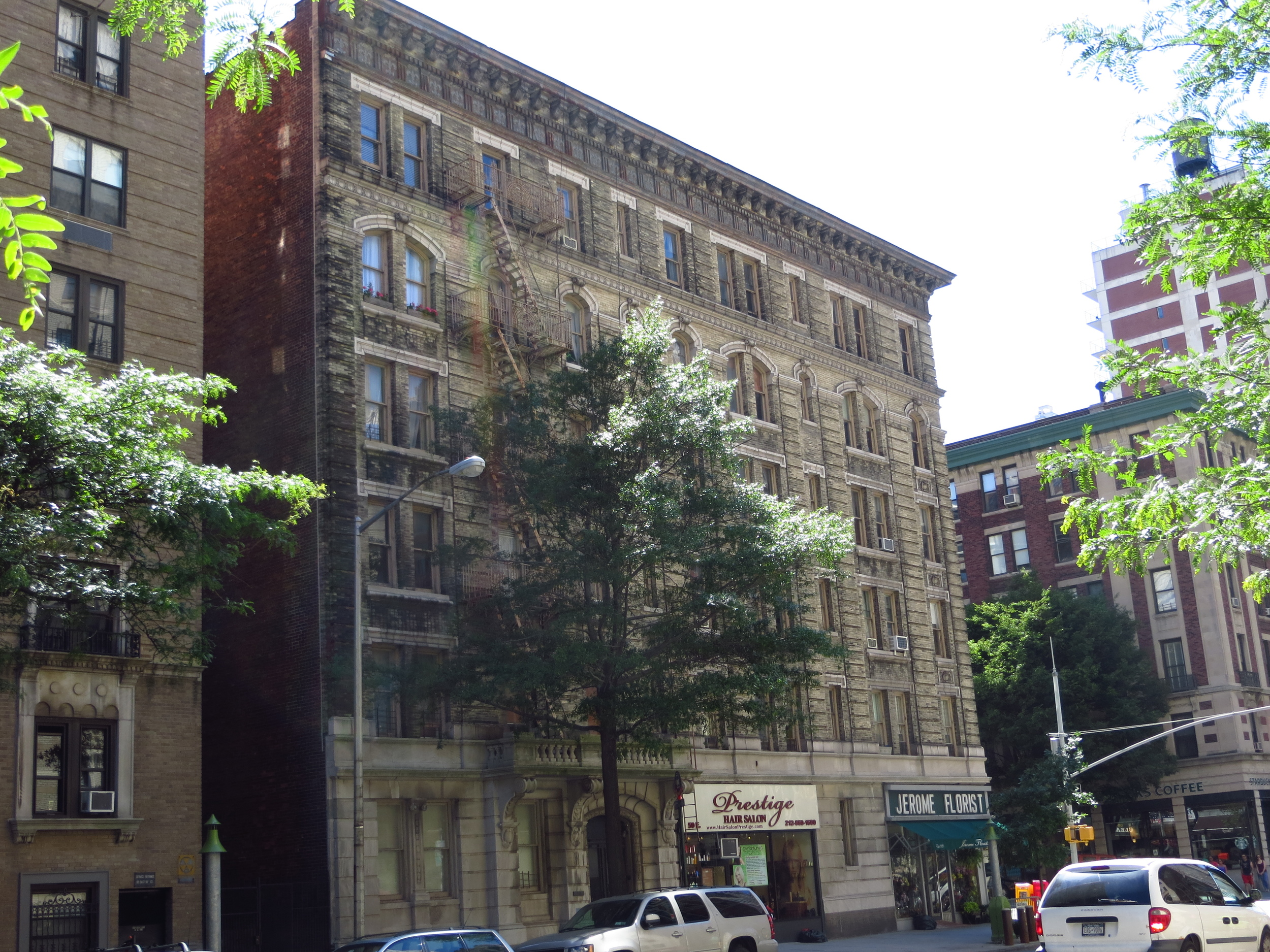
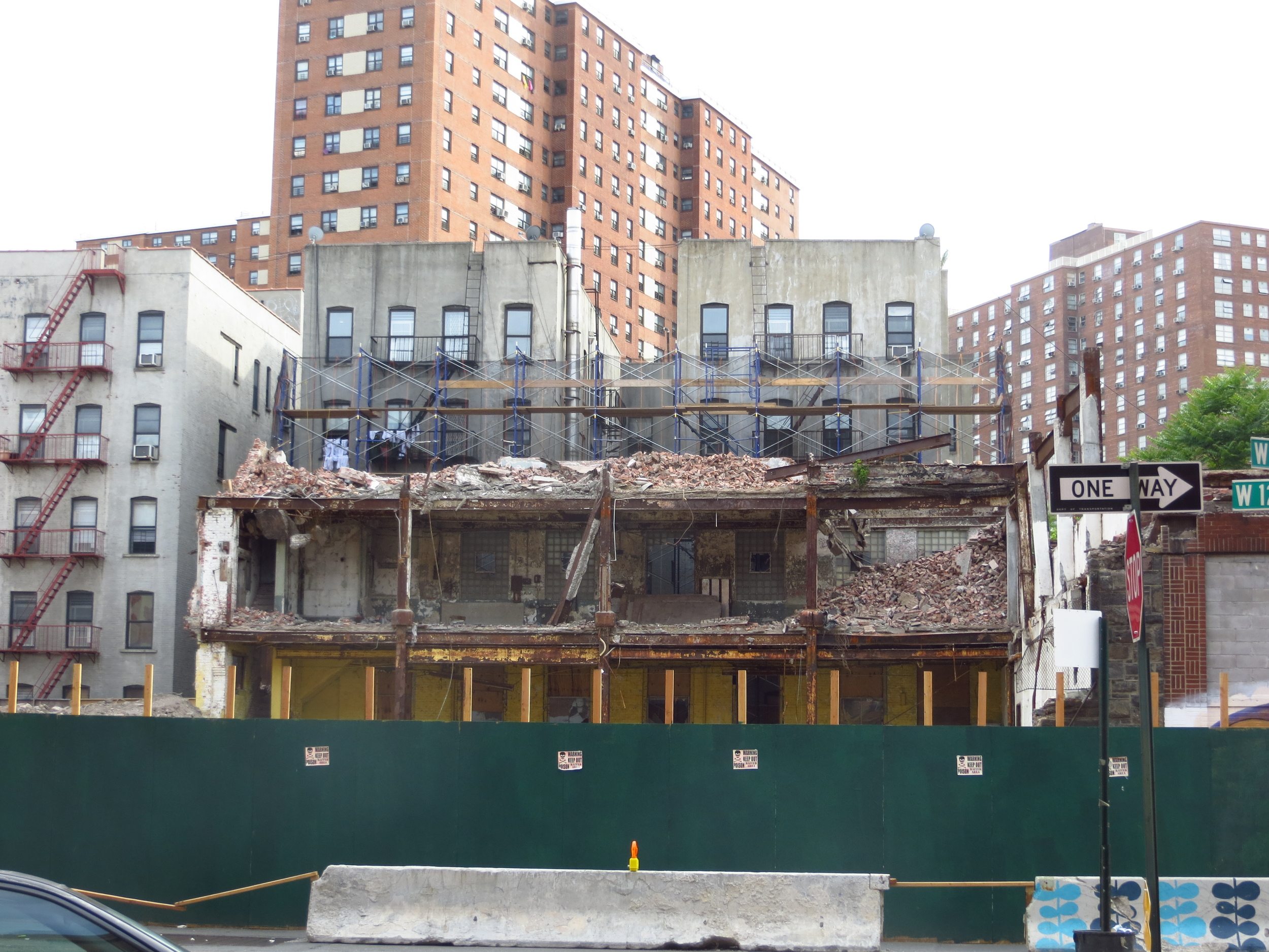
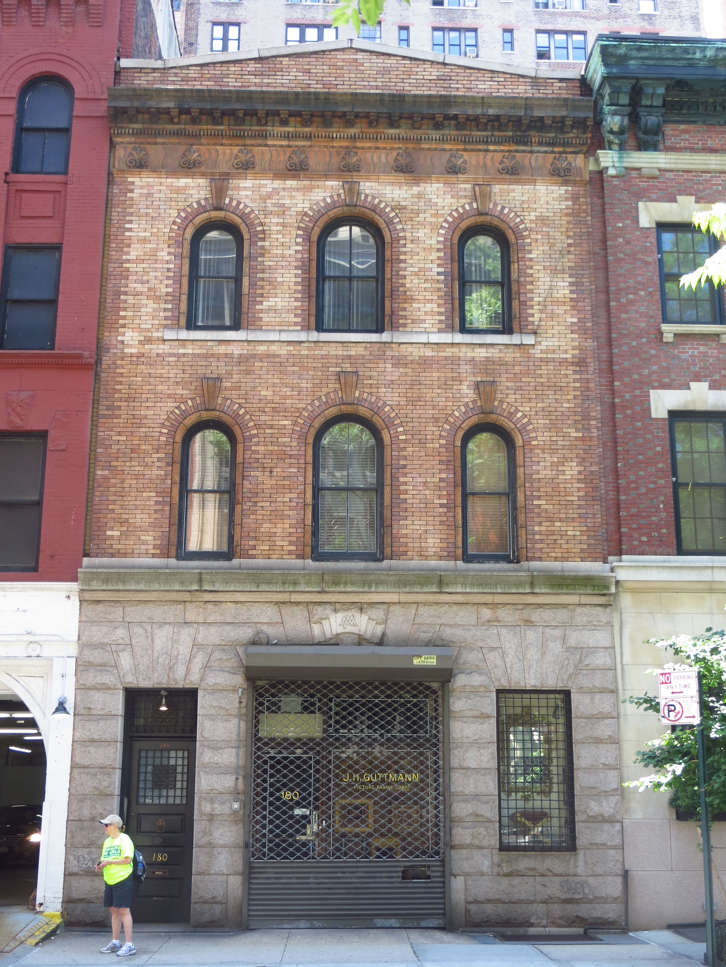
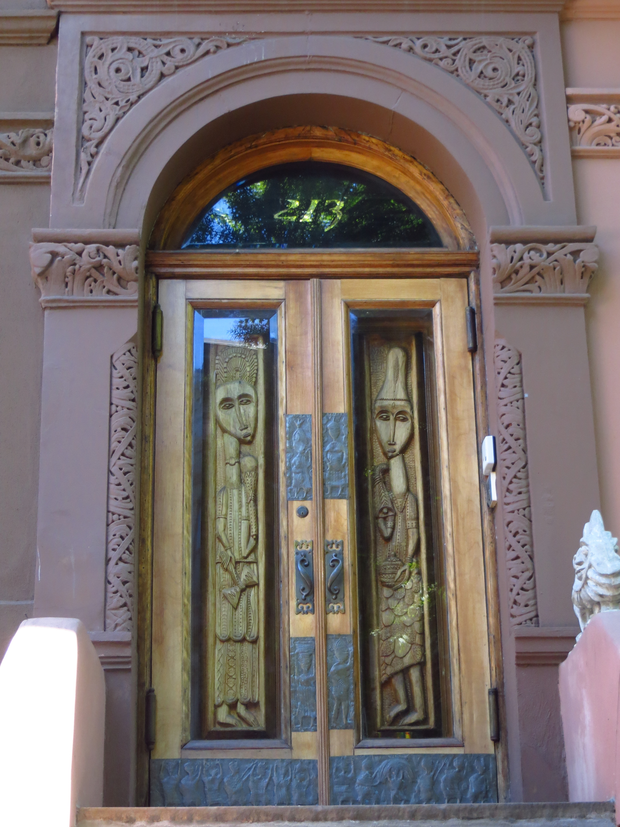
Upper East Side (North)

I walked the blocks from E 87th - E 96th (about 9 miles), finishing off the Upper East Side ("UES").  There's nothing significant about E 96th St. that makes it a boundary, but everything north of there is generally considered East Harlem.

Today's walk

Today's walk

There are two main sub-neighborhoods in the upper blocks of the UES; Carnegie Hill (E 86th St - E 96th St. east of 3rd Ave.) and Yorkville (E 79th St - E 96th St. west of 3rd Ave.)

Carnegie Hill is named for the Andrew Carnegie Mansion on E 91st St. and 5th Avenue, which today houses (or will house, looked like a lot of construction going on) the Smithsonian Museum of Design.  The 5th Ave. side of the neighborhood is lined with many other beautiful mansions, but you probably wouldn't recognize the names if you're not a big early-20th century New York finance history buff.

The Yorkville neighborhood was mostly farm land until the New York and Harlem railroad was built in the 1830s and a small town grew up around where the 86th St. Station is today.  It was a largely German/central European community in the late 1800's and early -mid 1900's.  I don't really have a third sentence to finish this paragraph.

West Harlem (Manhattanville)

To fill in a gap in my progress map and take advantage of some nice weather, I did the blocks from W. 125th St. - W 135th St. west of Convent Ave.  Unlike my recent walks, this area didn't stick to the grid very well and what should have been a quick 6 miles took longer than I thought it would.  Good practice for Lower Manhattan, I suppose.

Today's walk (approximately)

Today's walk (approximately)

The walk corresponded mostly with the neighborhood of Manhattanville, which sits between Morningside Heights and Hamilton Heights.  Unlike these other two neighborhoods, Manhattanville is not up on the bluff the runs along the upper west side of Manhattan.  It sits in a valley between 125th St. and 135th St that dips down about 100 ft. to about sea level.

The most prominent feature of the neighborhood (I think) are the massive apartment buildings, most of which serve low income tenants.  One notable building is Riverside Park Community on Broadway between W. 133rd St. and W. 135th St.  The privately owned apartment complex was built in 1976 and was the largest residential building in the US at the time of its completion.  It has 1,200 units and more than 4,000 residents and I read somewhere that it comprises its own census tract.

Other notable feature of the neighborhood include the Manhattanville viaduct, an elevated section of Riverside Drive that spans the valley, connecting W. 125th St. to W. 135th St., and the elevated portion of the 1 subway train / 125th St. subway station (one of the few above ground subway stations on the island).

A lot of the area is currently under construction, blocking off some of the streets.  Apparently Columbia University (to the south in Morningside Heights) is working on a massive project to expand its campus further north.  The project includes new buildings for their business school, school of the arts, as well as a new research center dedicated to studying neurological diseases.  And probably three or four Starbucks.

Upper East Side (Central)

Went back down to the Upper East Side ("UES") again and did E 73rd St. through E 86th St; about 14 miles.

Today's walk

Today's walk

The composition of this section of the neighborhood was very similar to the streets I covered in my previous UES post, which has some of the historical info on the neighborhood.  The one notable difference was that instead of hospitals and related medical facilities, the blocks east of 1st Ave / 2nd Ave. were mostly residential.

Interesting Fact: I'd always assumed that York Ave. (the avenue east of 1st. Ave that corresponds w/Ave. A south of 14th St.) was named either for Old (English) York, like Amsterdam Ave. on the west side, or for the Yorkville neighborhood, which it runs through.  Turns out neither is the case.  Instead, York Ave. was named for Sgt. Alvin York, a heavily decorated soldier from WWI best known for receiving the Medal of Honor after leading an attack on a German machine gun nest.  Well, I thought it was interesting.

North Harlem

Today I did the 20 northern-most blocks of Harlem (from W. 136th St. to W. 155th St.), adding another 19 miles to the tally.  To save myself some unnecessary cardio, I did the low-lying eastern portion before climbing up to Hamilton Heights at 155th St.

Today's walk

Today's walk

The walk took me through two of the historically wealthy sections of Harlem; the first being Striver's Row in Central Harlem.  Striver's Row, a block-long development facing 138th St. and 139th St., was finished in 1893 but units failed to sell due to a recession.  They sat mostly empty until 1919 when the foreclosing bank allowed the homes to be sold to African Americans, and it soon became home to many of the community's civic leaders and successful professionals (hence the name).  Notable residents included W.C. Handy (composer), Bill "Bojangles" Robinson (entertainer), and Adam Clayton Powell Jr. (preacher / congressman / boulevard namesake).  

I passed by Abyssinian Baptist Church, which I had heard the name of but knew little about.  Apparently the congregation began in the early 1800's and by 1930 had 13,000 members, making it the largest African American congregation in New York and the largest Baptist congregation in the world (per Wikipedia).  It's large size made it a hub not just for religion, but politics and the civil rights movement.  Today the church is going strong, evidenced by the line of people (several of whom appeared to be from out of town) around the block waiting to get in when I passed by.  There were orange-vested congregants directing street traffic and I overheard people were being turned away due to the church being at capacity.

Eventually I crossed up into Hamilton Heights, which is roughly the area between 135th St. and 155th St. west of St. Nicholas Ave.  The area was named for Alexander Hamilton (founding father / first Treasury Secretary / dueling silver medalist), who lived in the area and whose house (built appropriately in the Federalist style) still stands there today.

At the north end of Hamilton Heights, occupying four full city blocks between 155th St. and 153rd St., is Trinity Cemetery & Mausoleum, the only active cemetery (i.e. accepting new tenants) remaining in Manhattan.  It's associated with Trinity Church in lower Manhattan and has served as the final resting place of many important New Yorkers, including several mayors (Ed Koch most recently), congressmen, Revolutionary War veterans, Charles Dickens's son, Clement C. Moore ("Twas The Night Before Christmas" author and one-time owner of most of Chelsea), several Astors (including John J. Astor IV, who died on the Titanic), and the naturalist John J. Audubon (whose estate formerly occupied the land).  It's very scenic, affording nice views of the Hudson and is full of cool old mausoleums built into the hillside.

Another interesting neighborhood I passed through was Sugar Hill, a sub-neighborhood taking up the eastern half of Hamilton Heights between 145th St. and 155th St.  It was a popular area for wealthy African Americans during the Harlem Renaissance and was named for the "sweet life" it represented.  Notable residents of the age included W.E.B. Du Bois, Thurgood Marshall and Duke Ellington (who highlighted it in the lyrics of his song "Take the A Train").  Many of their mansions are still around today, but since they generally fall along the avenues rather than the streets I'll save the pictures for a future walk.