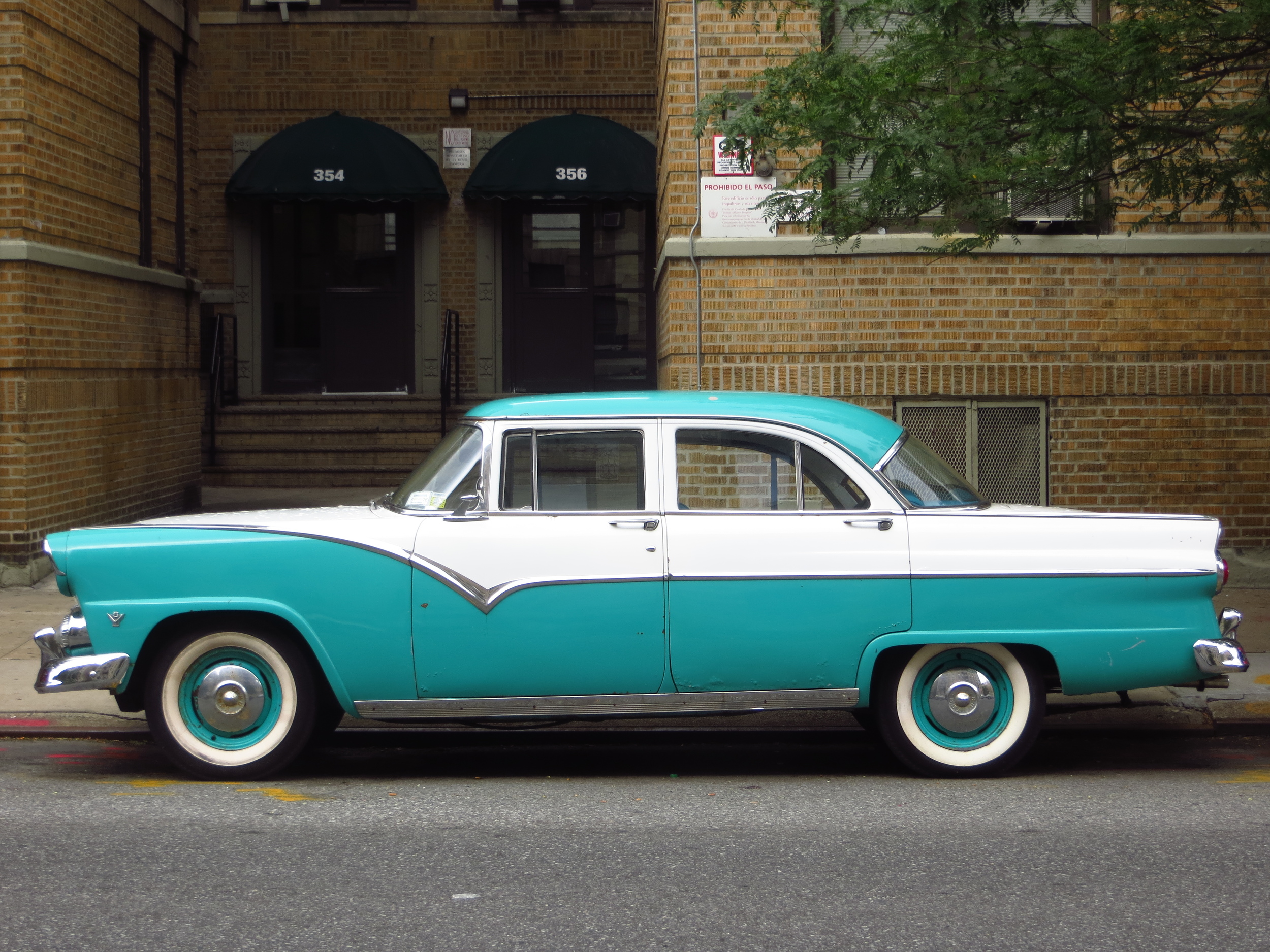
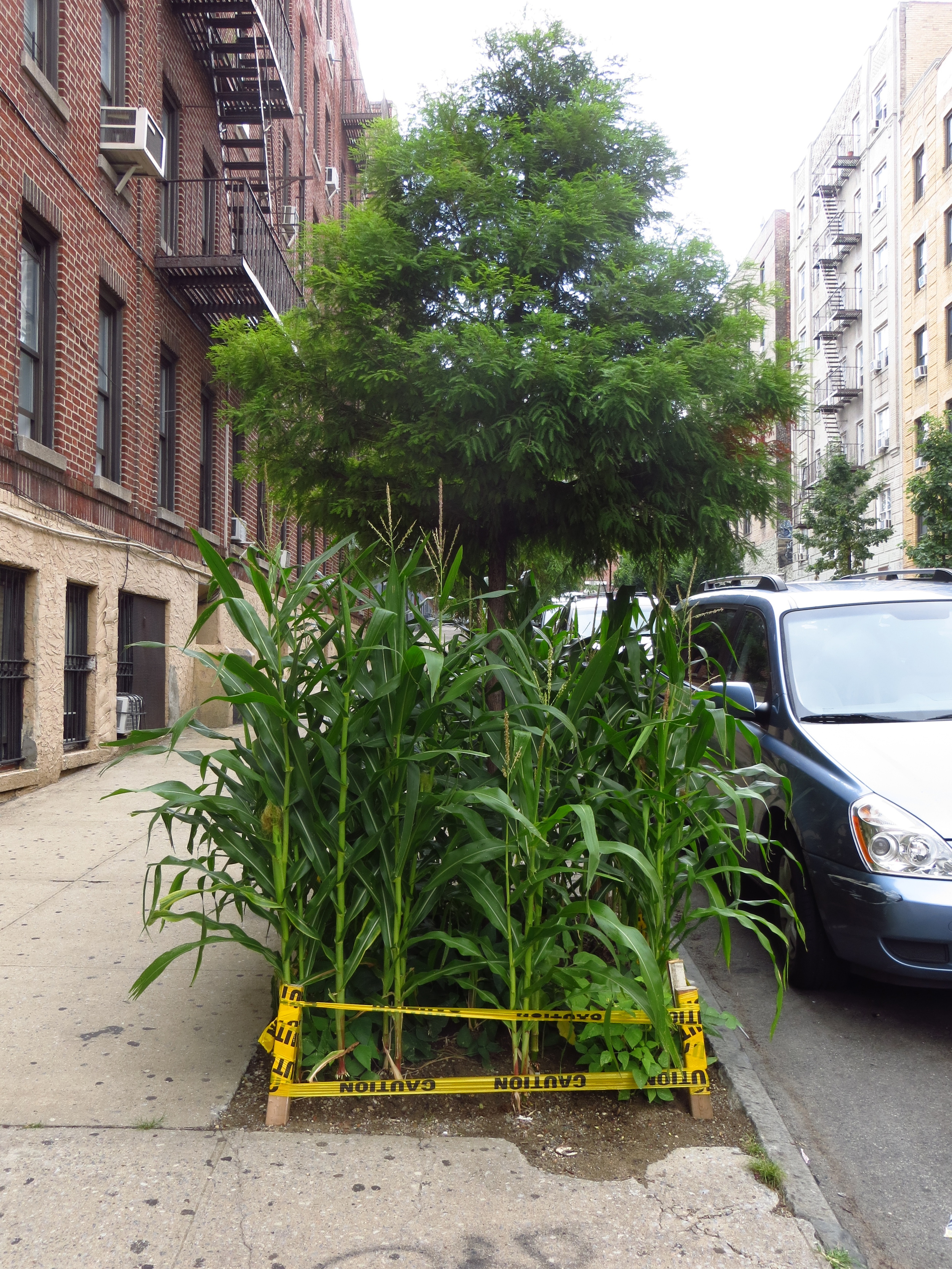
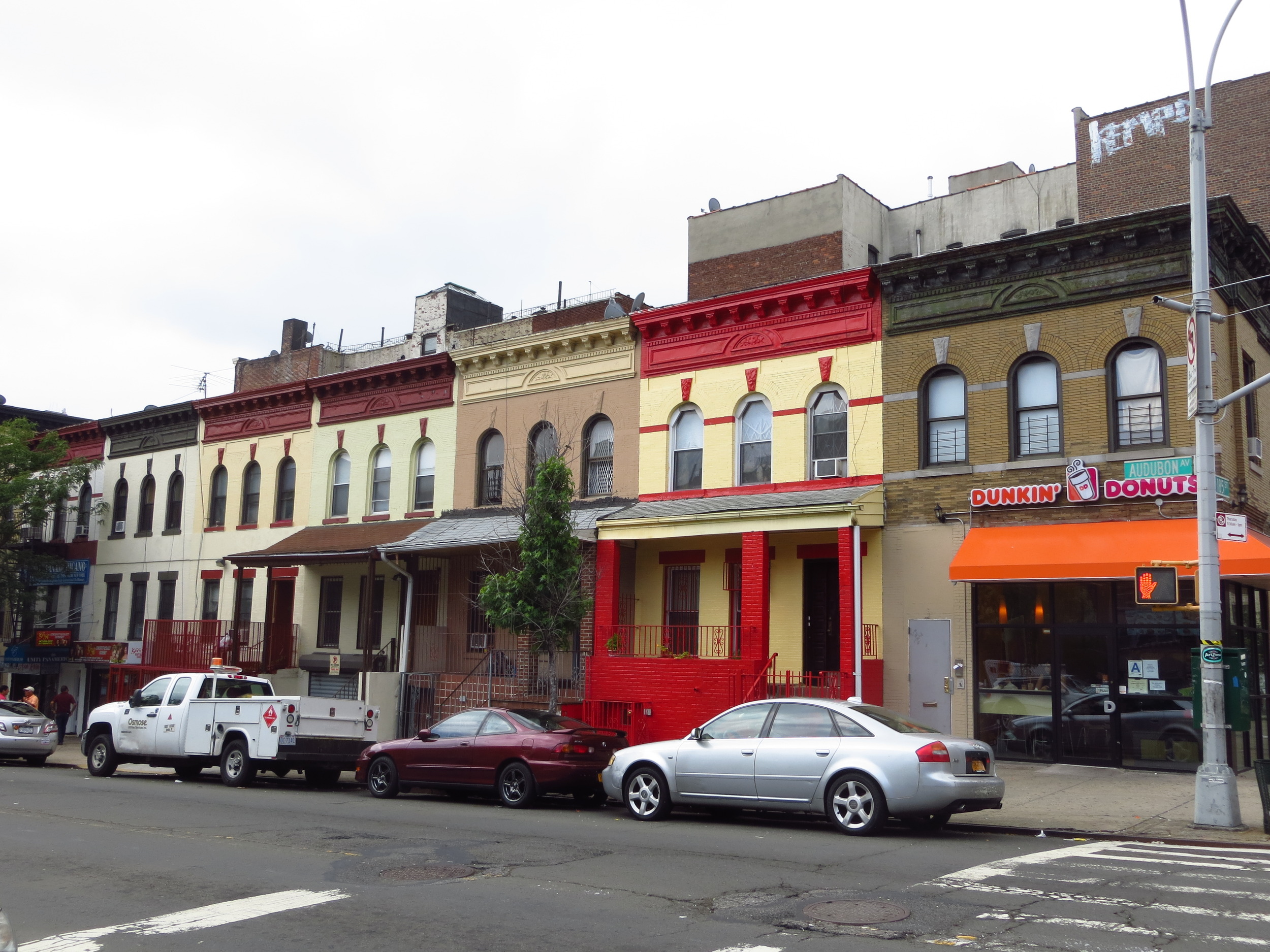
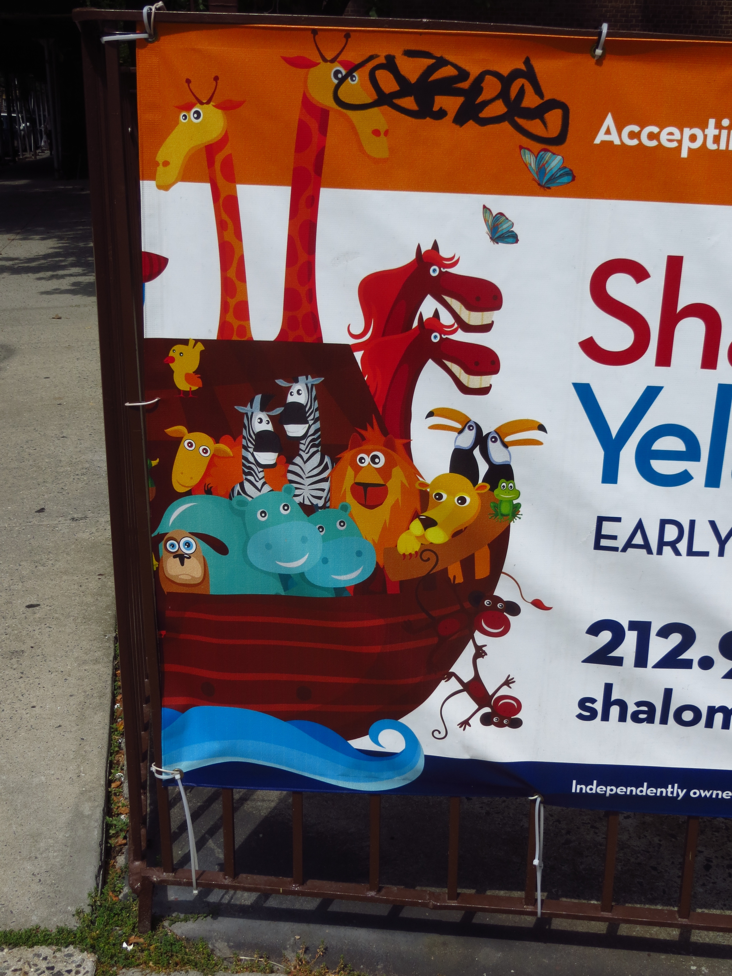
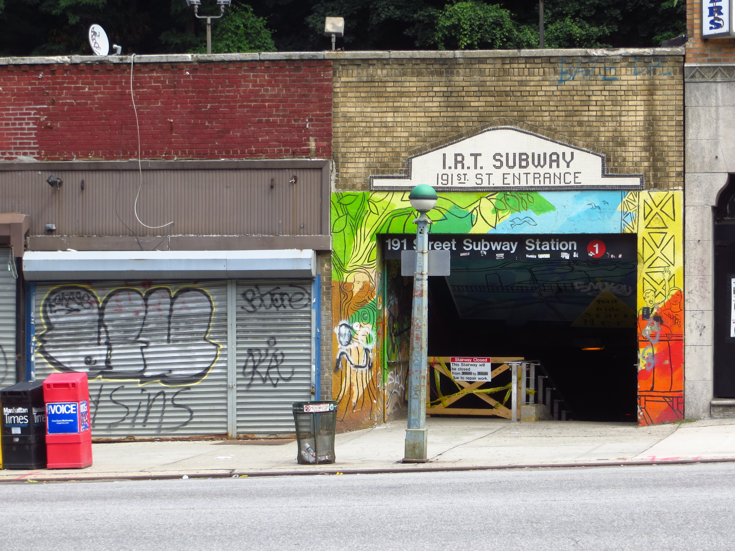
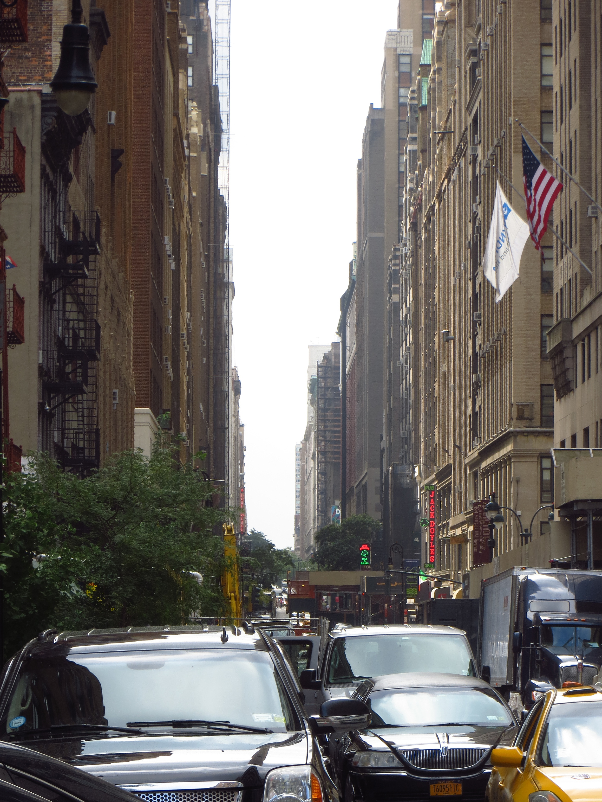
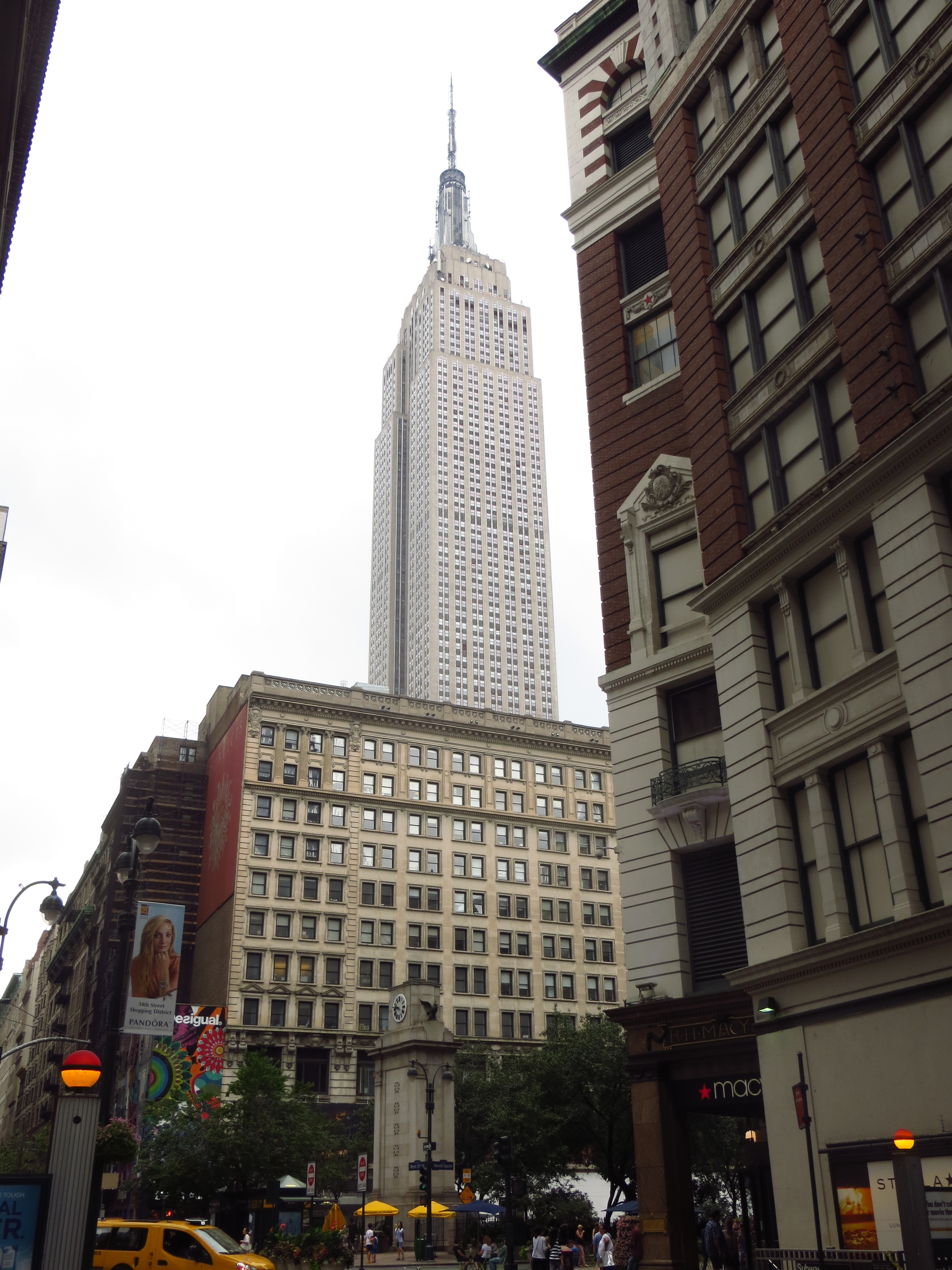
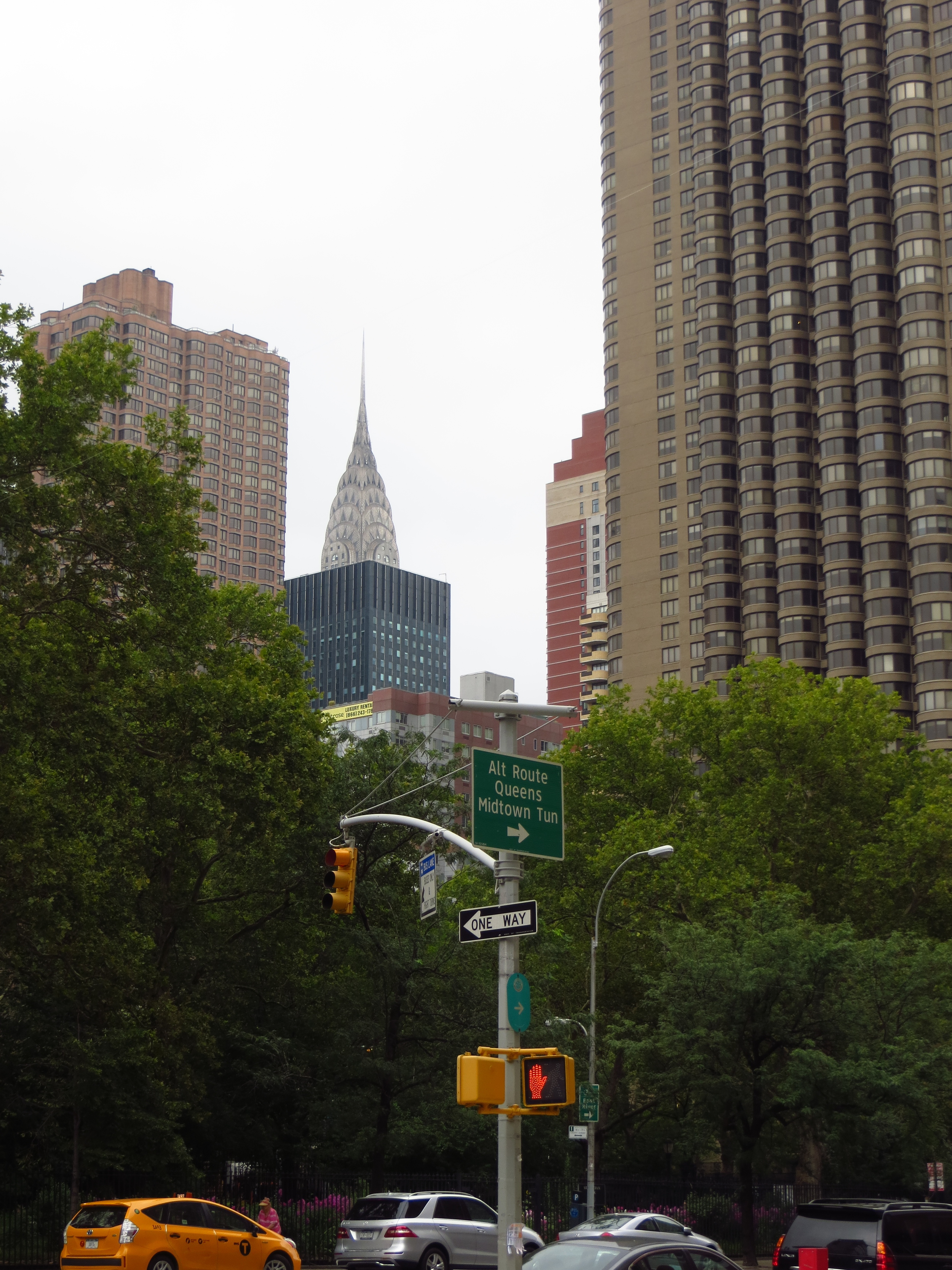
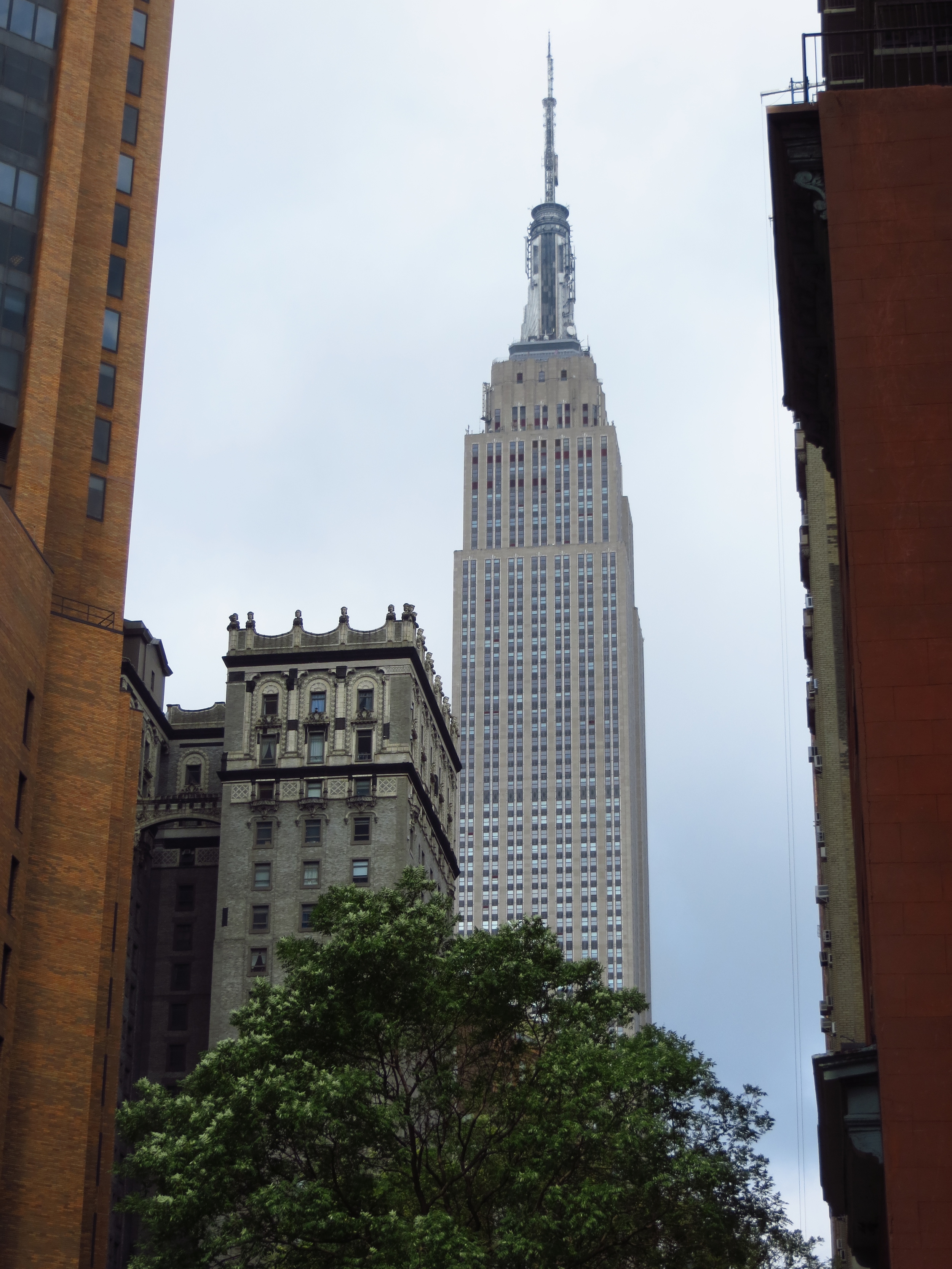
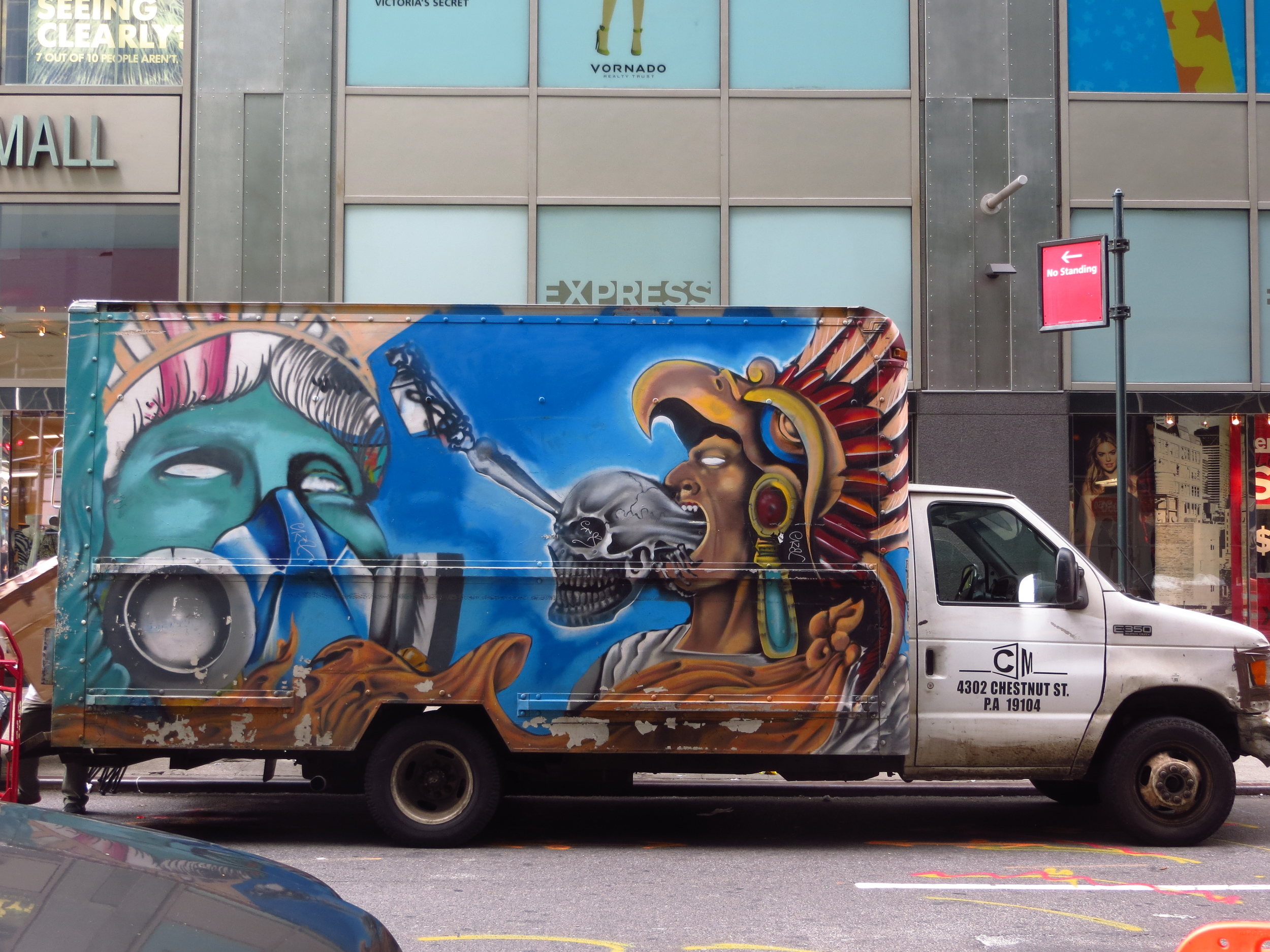
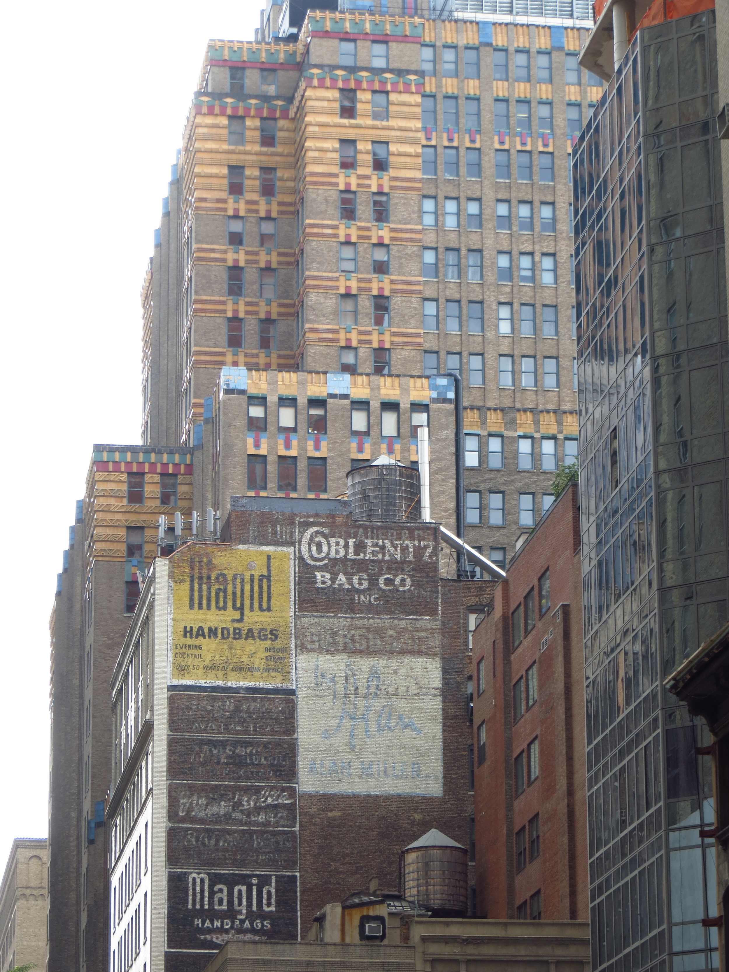
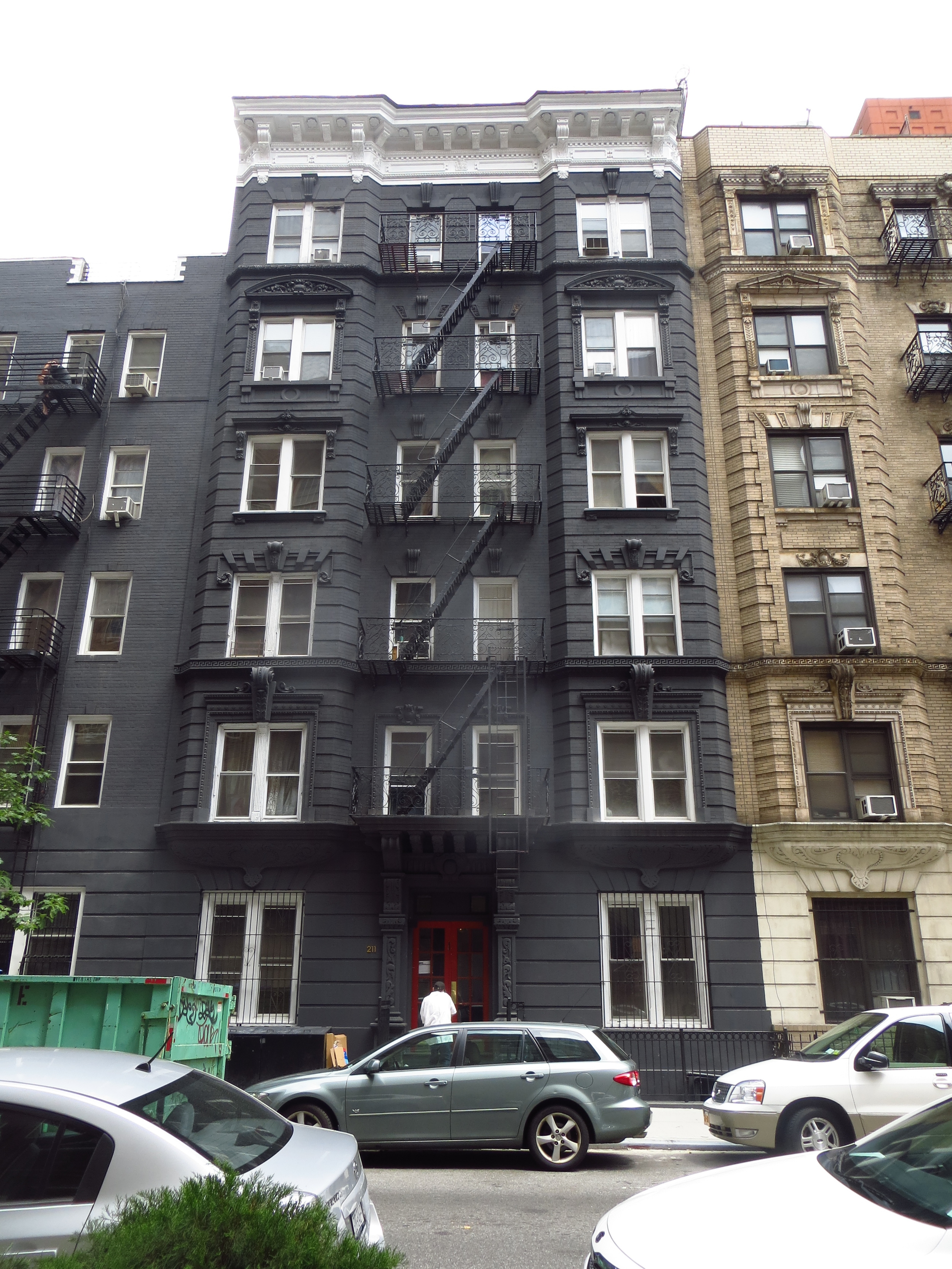
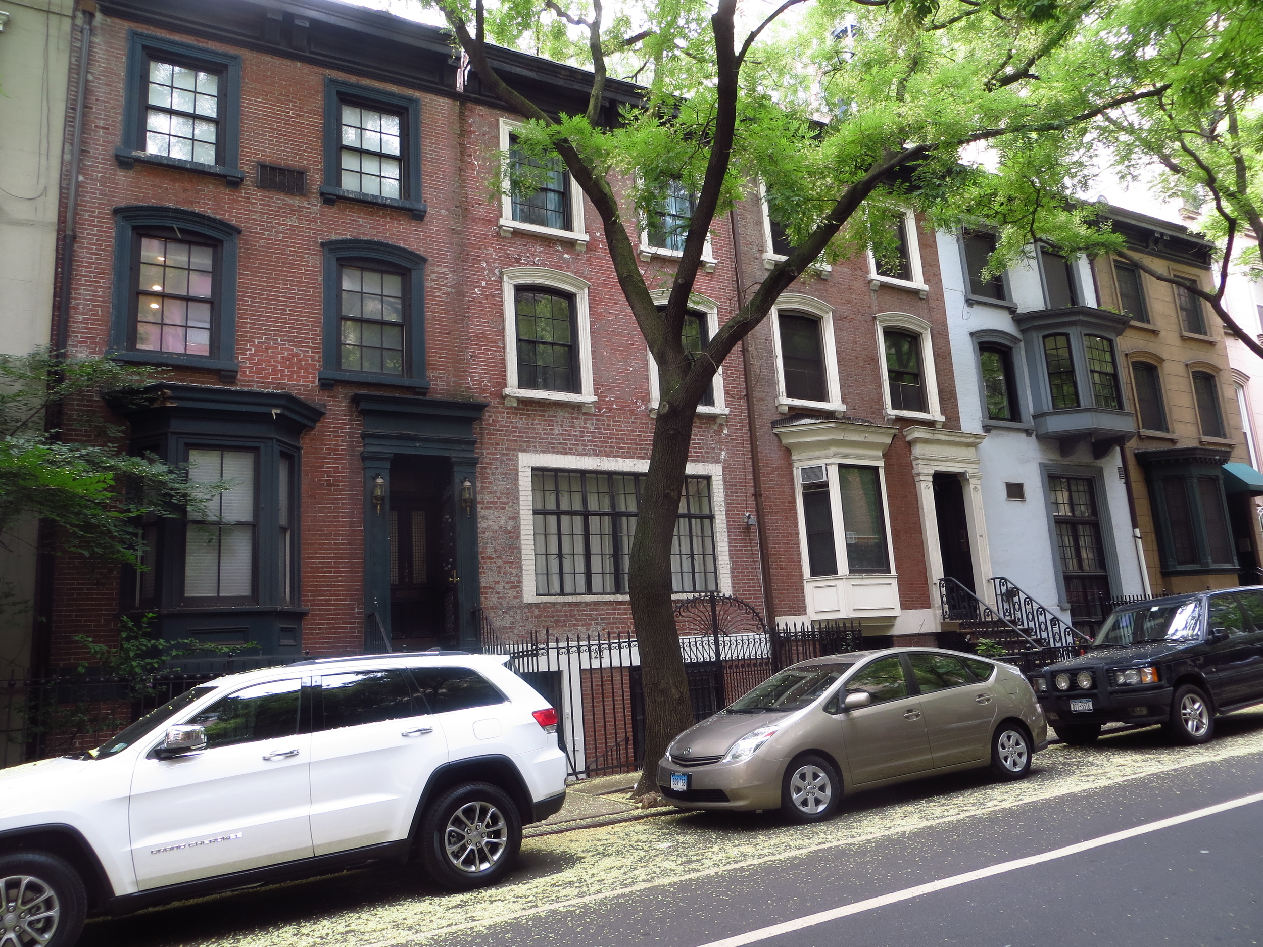
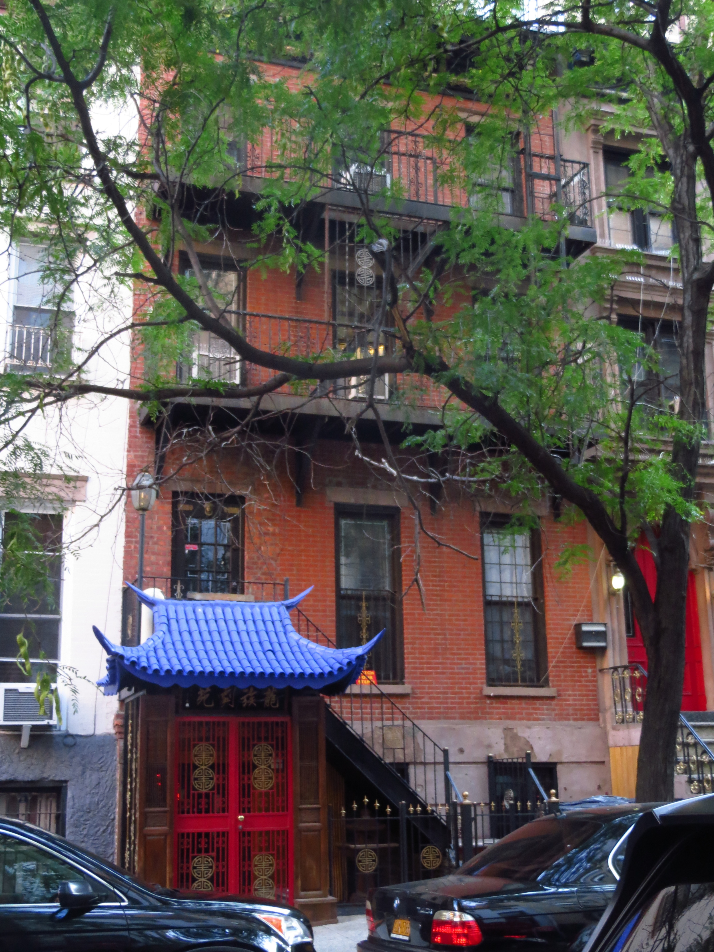
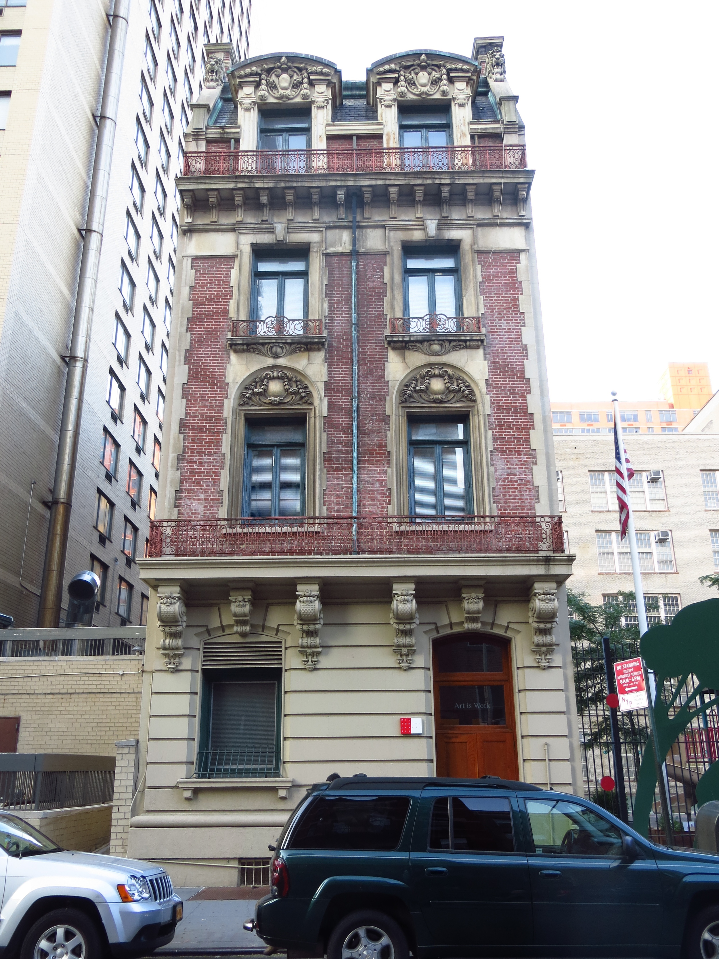
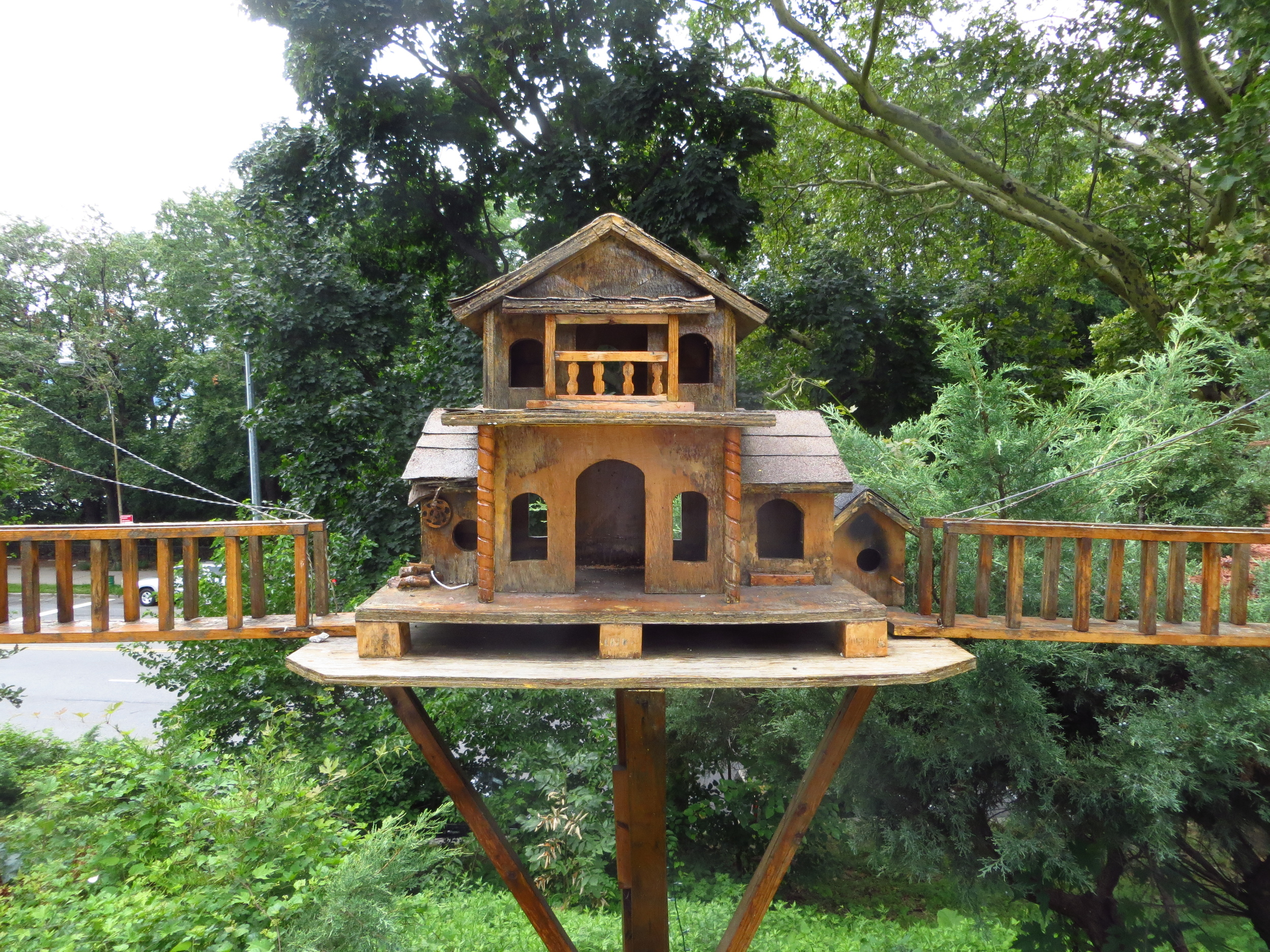
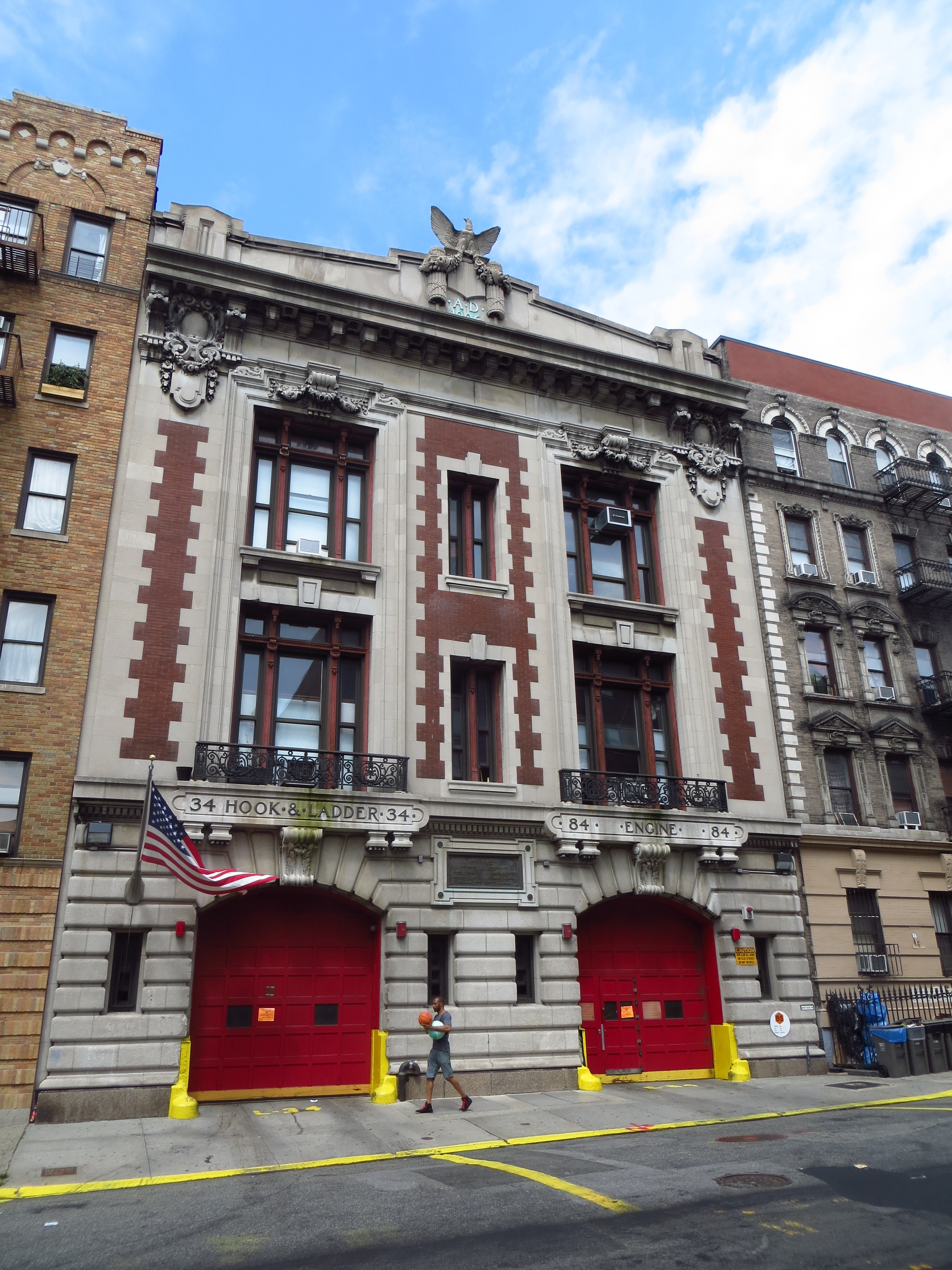
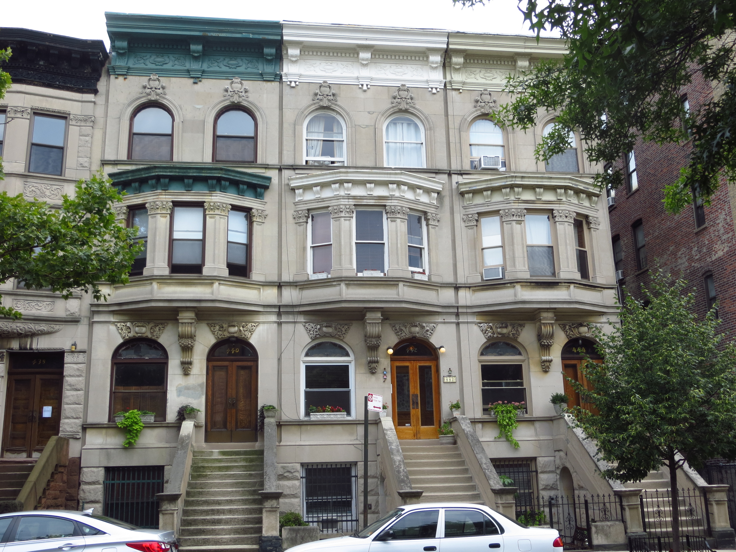
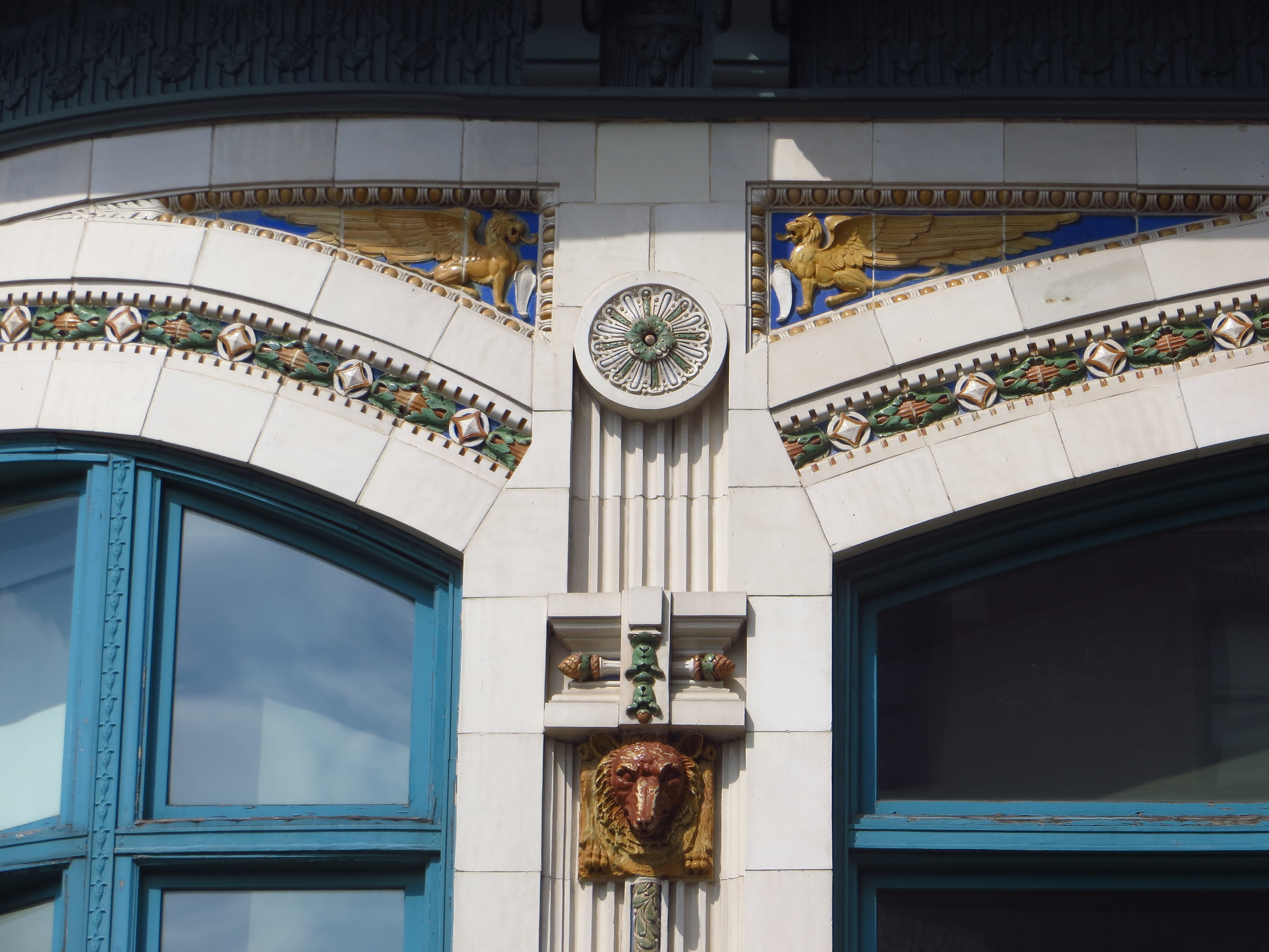
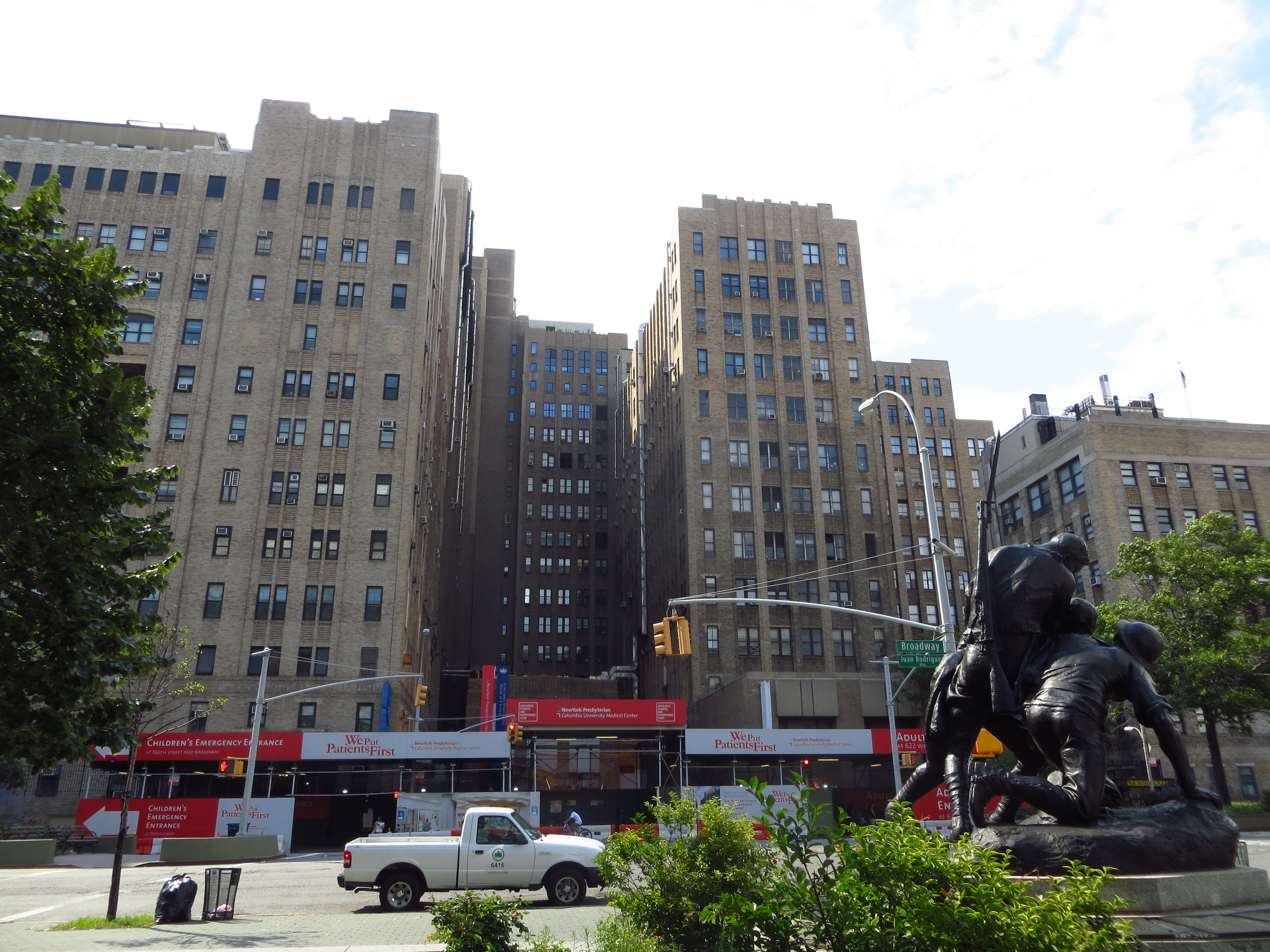
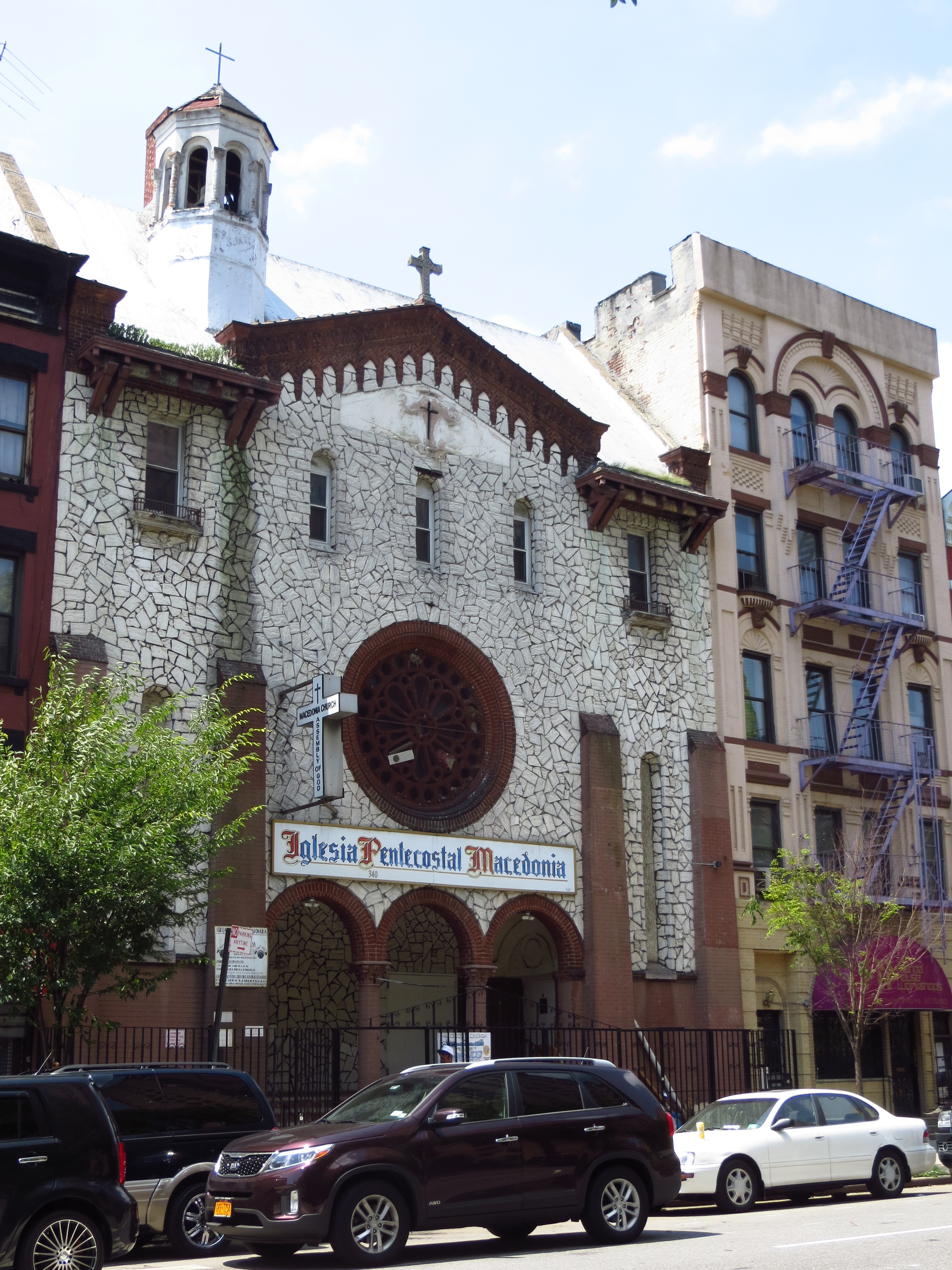
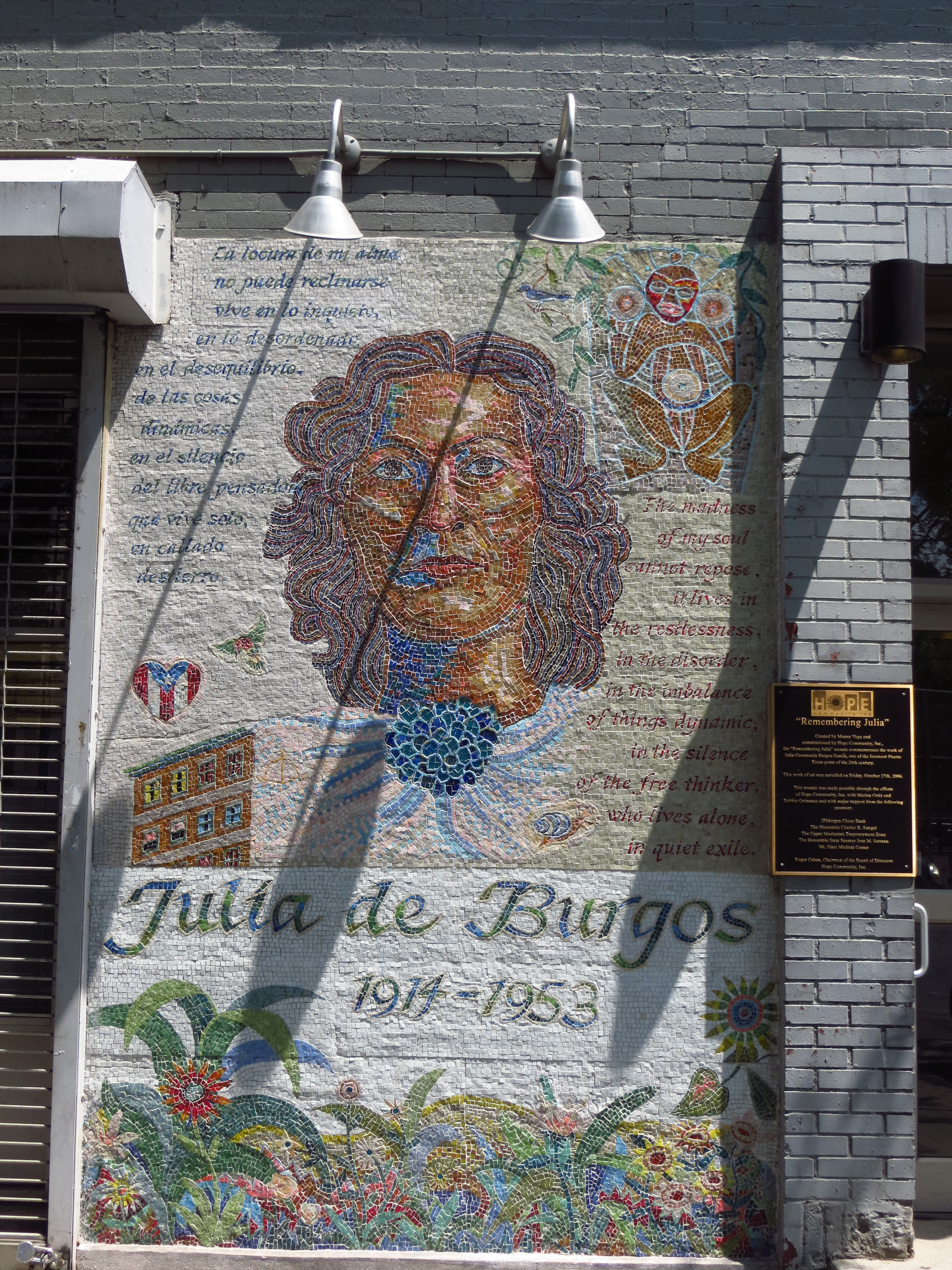
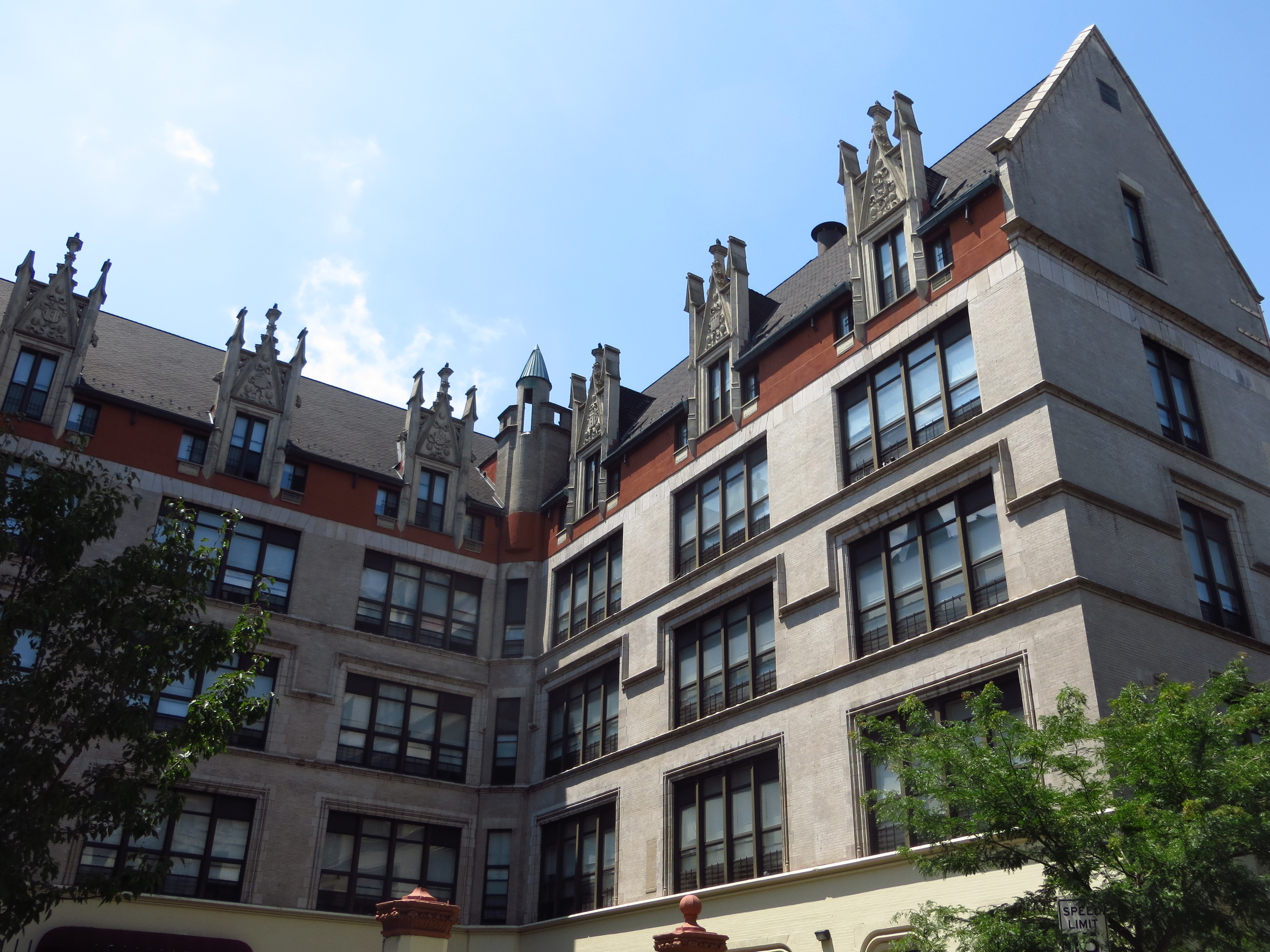
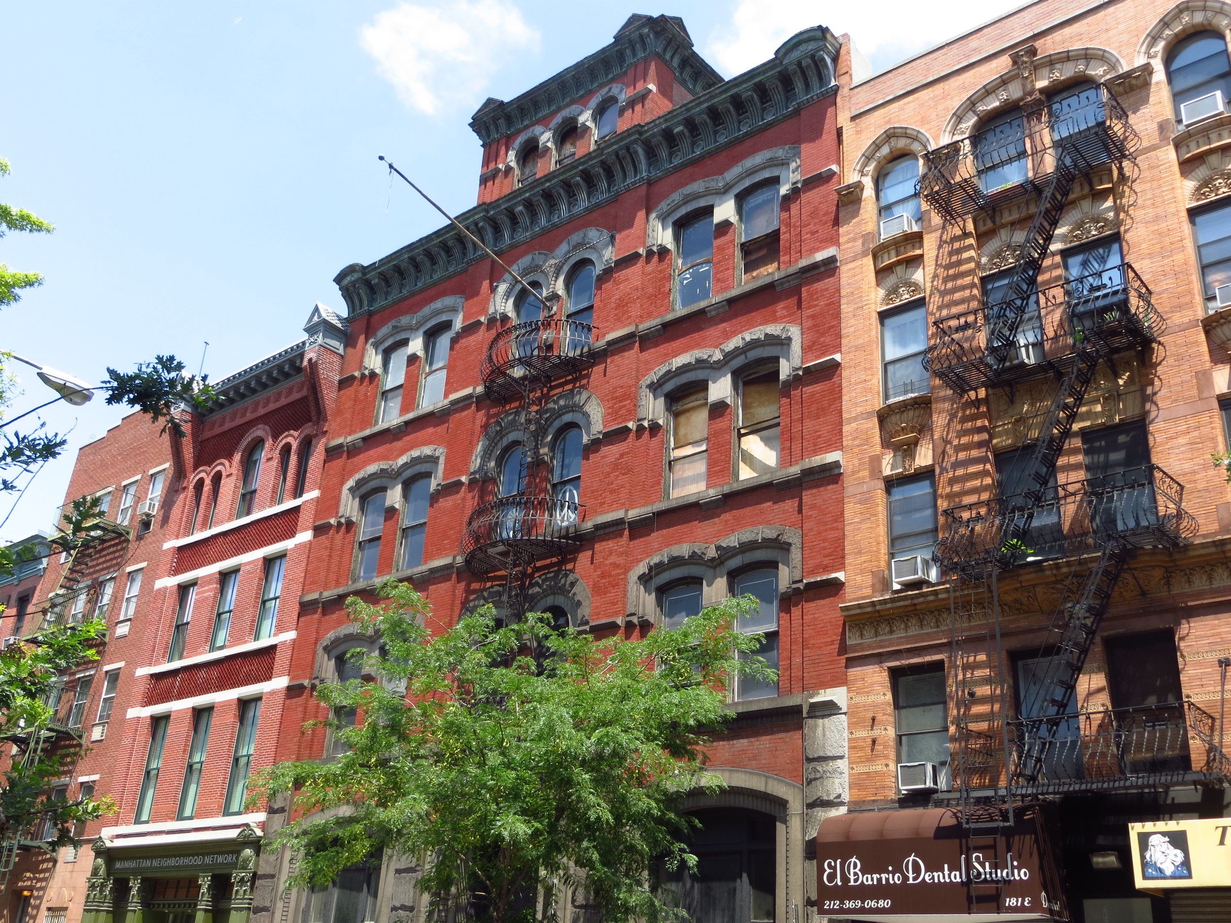
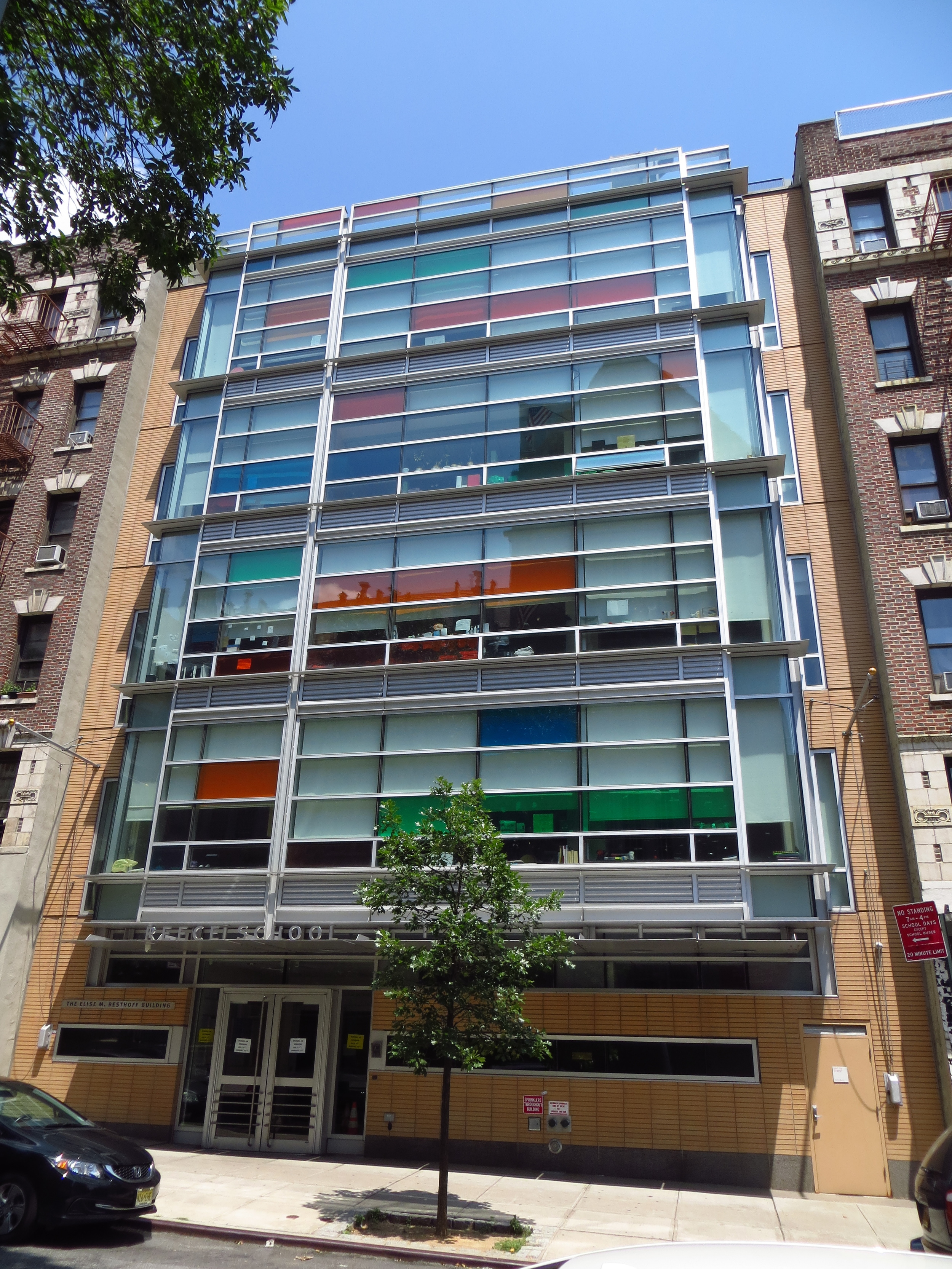
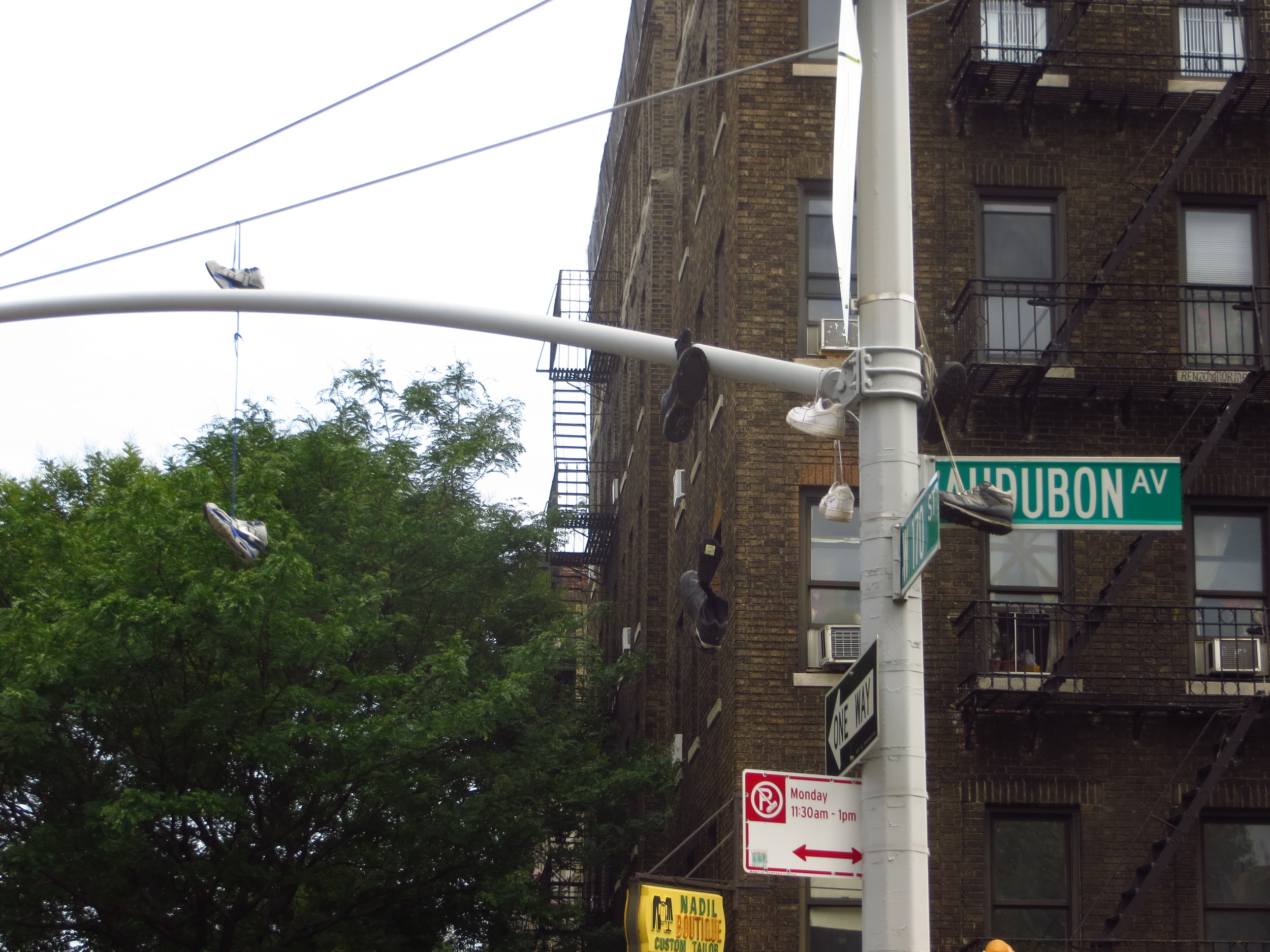
Washington Heights (pt. III)

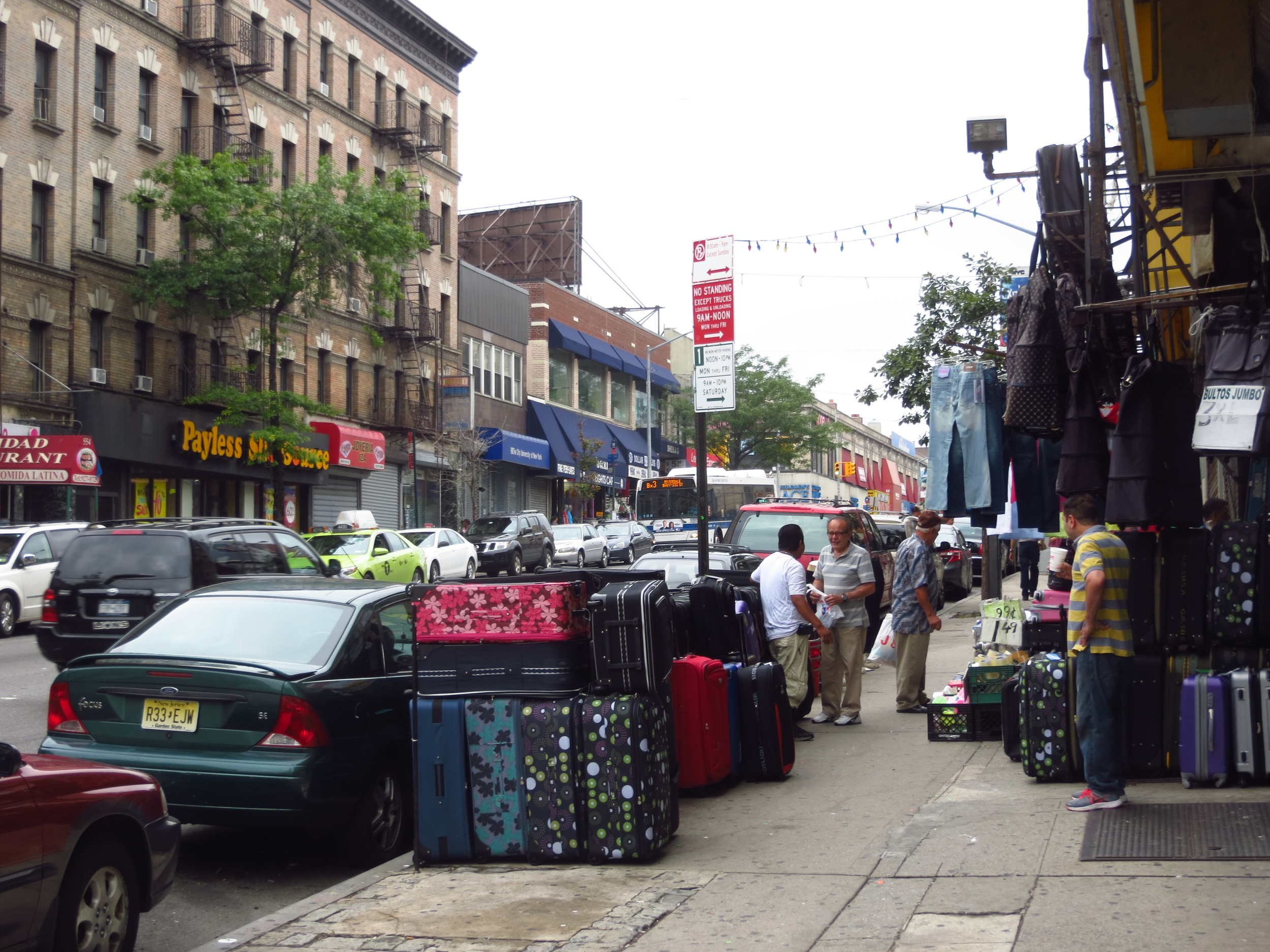
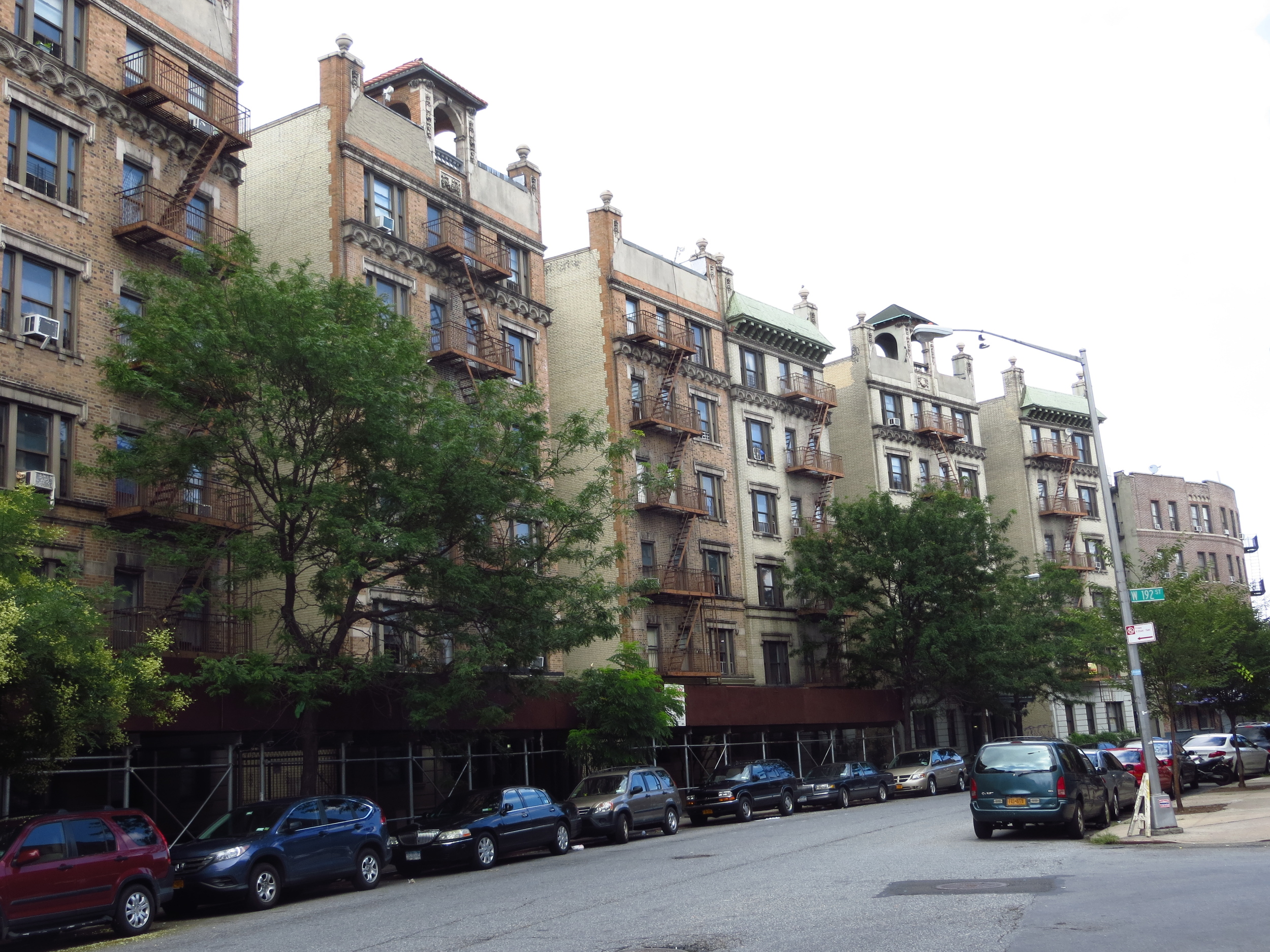
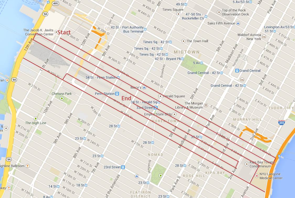
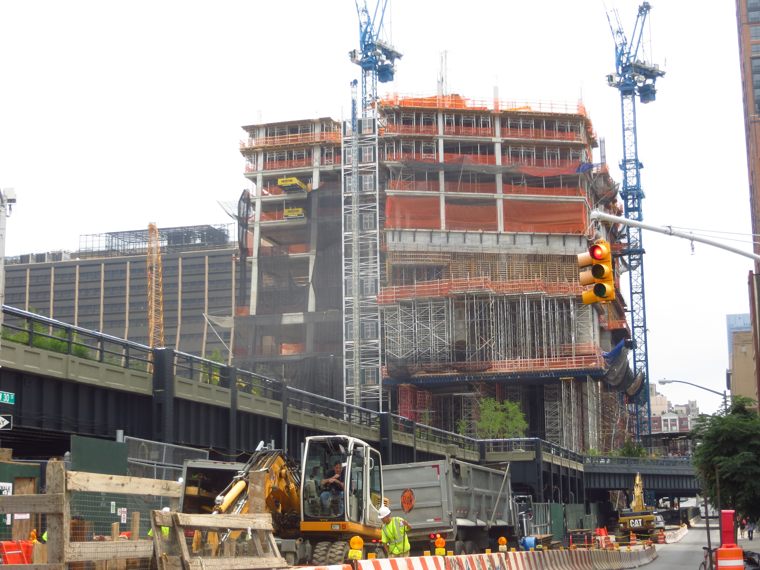
A quick programming note: My plan is to finish the streets (east/west) before moving on to the major north/south avenues.  However, the further south of 14th St. and north of 125th St. you go, the more minor north/south or diagonal streets you encounter.  So for this walk (in Washington Heights again) I just went ahead and did all the streets in the area outlined below (about 17 miles).

Today's  Walk (everything inside the lines)

Today's  Walk (everything inside the lines)

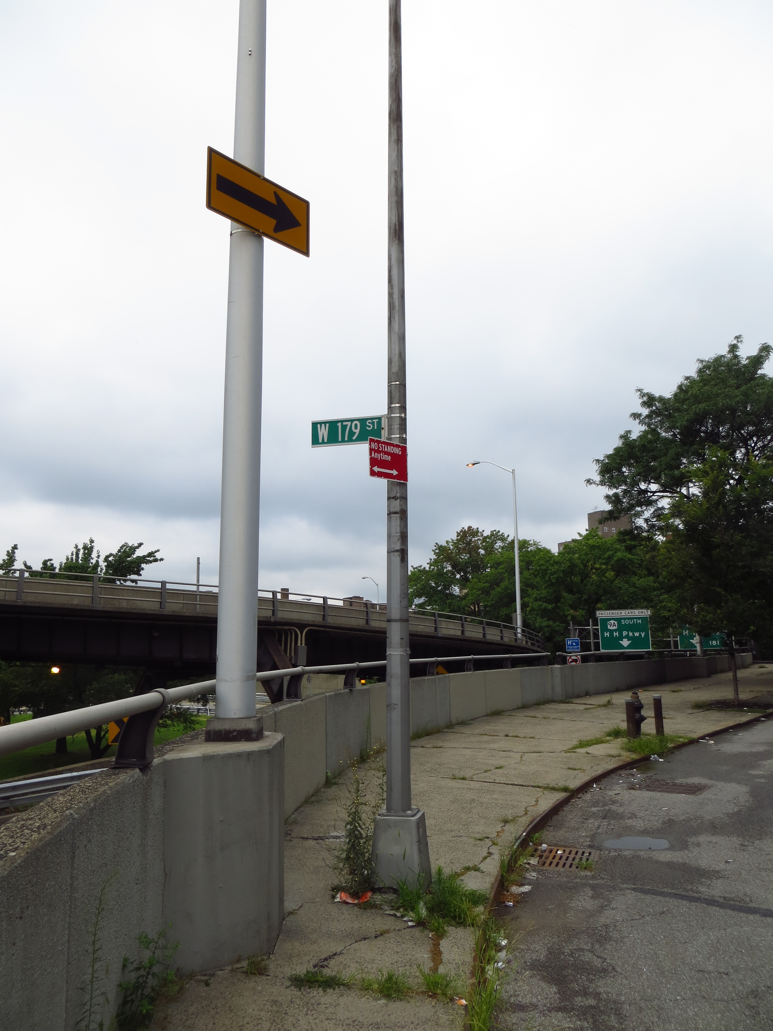
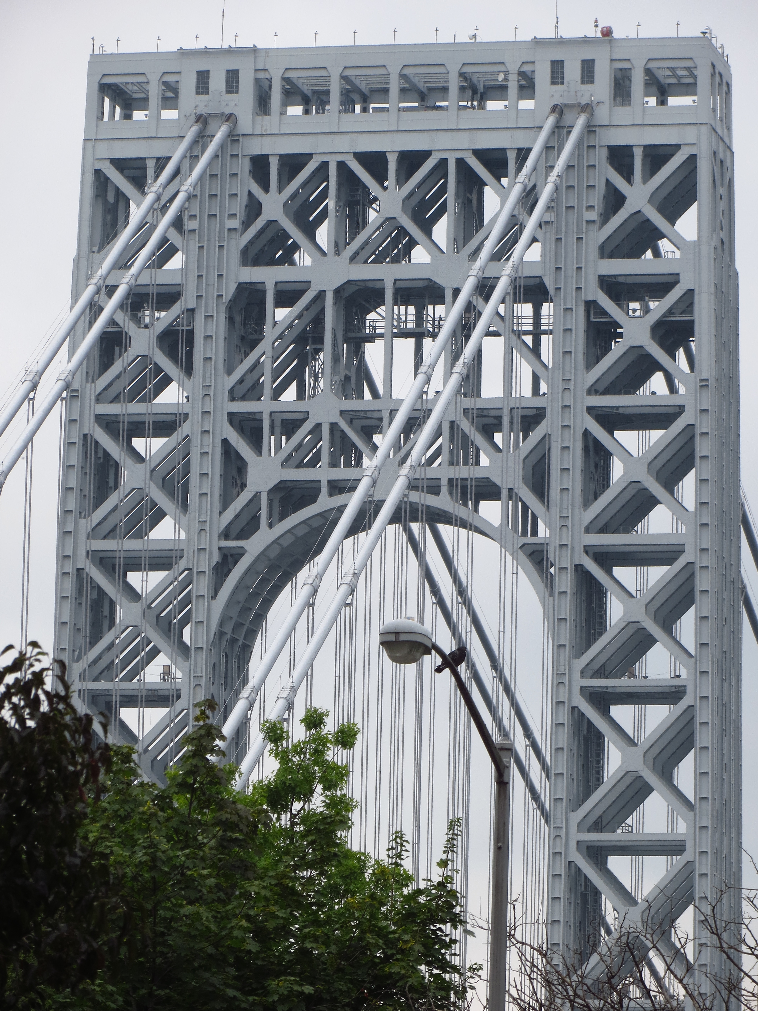
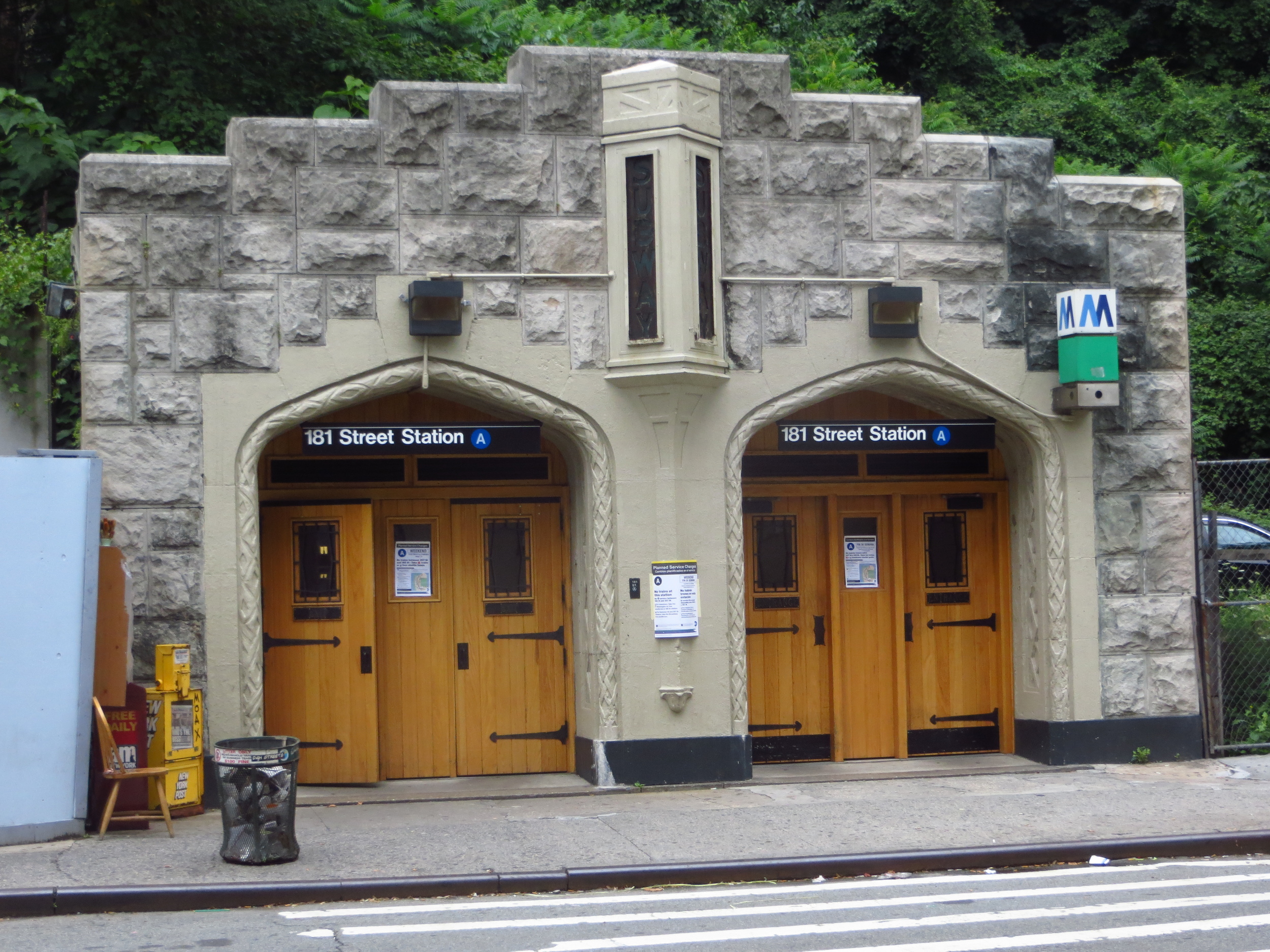
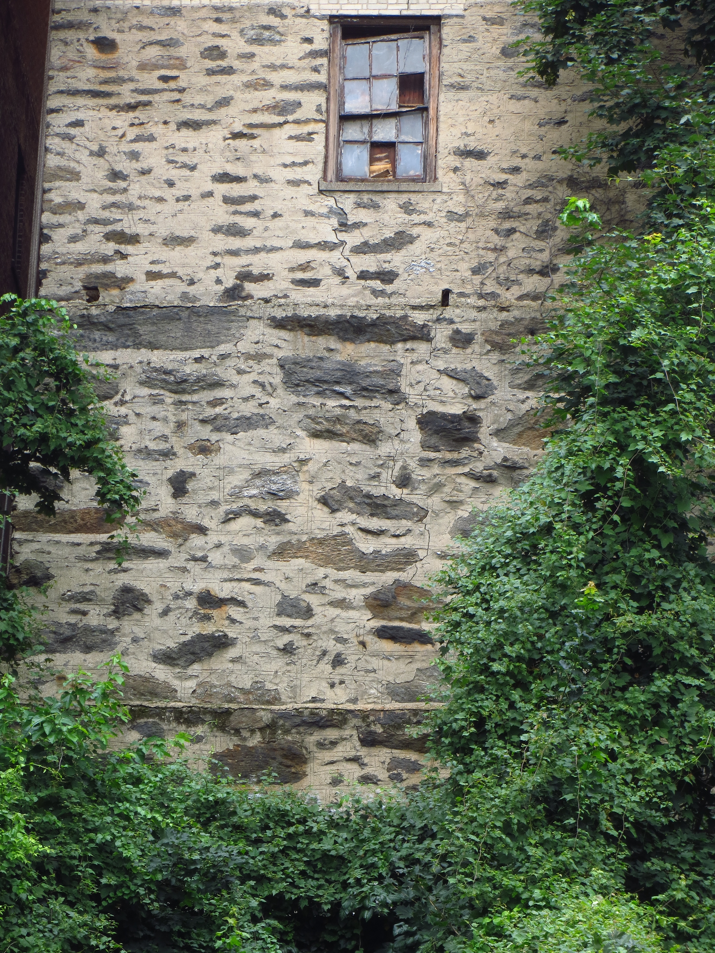
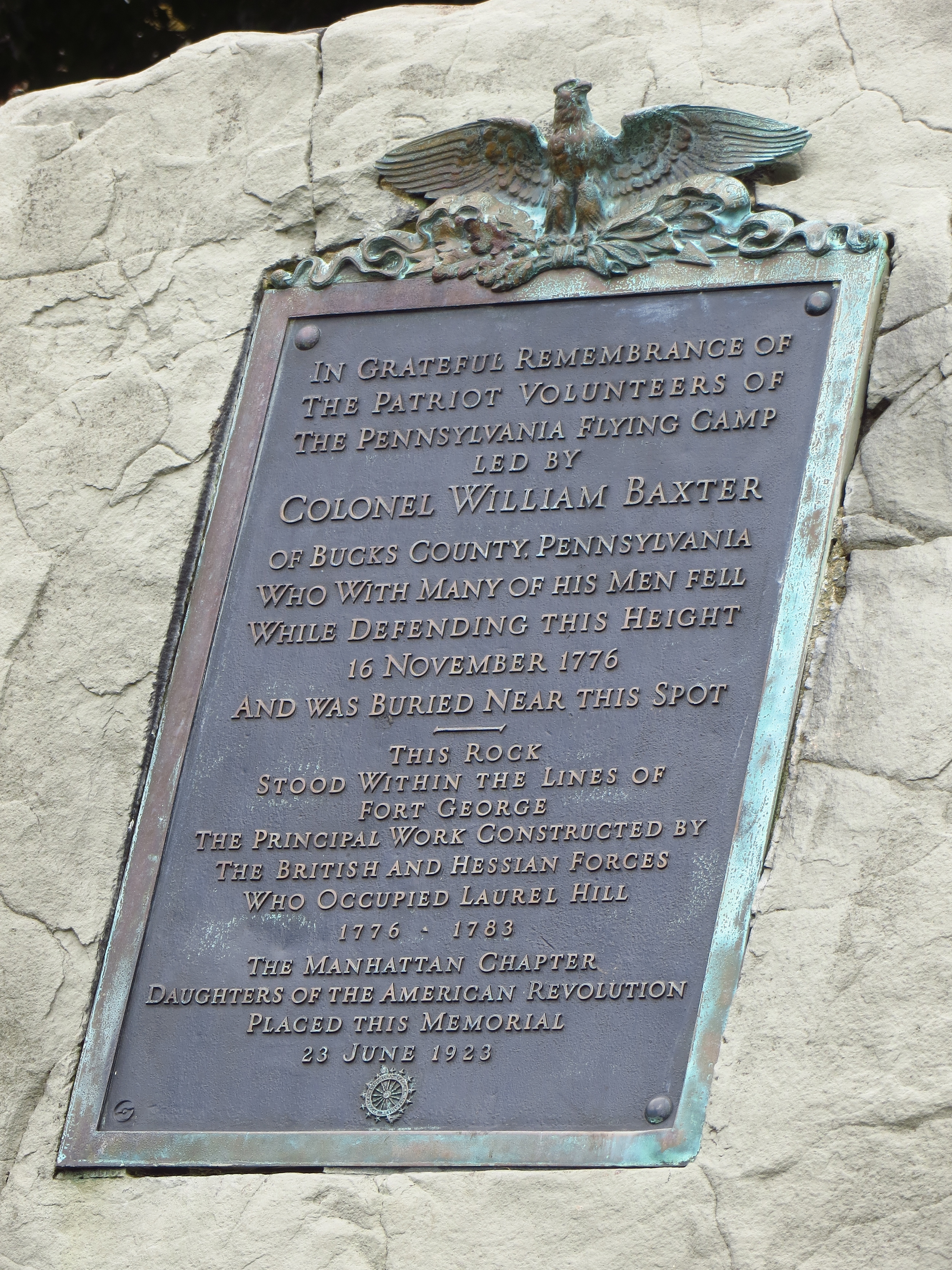
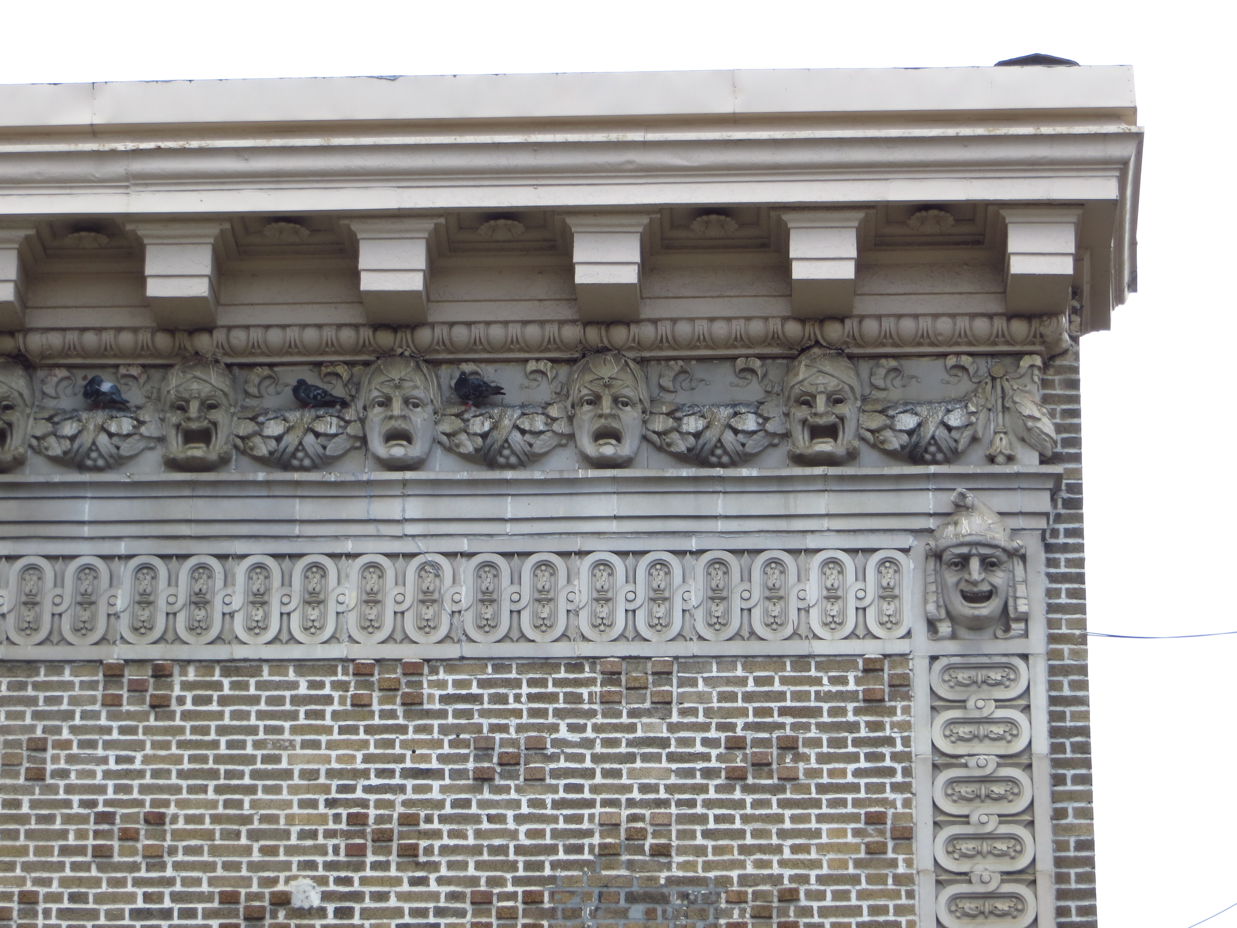
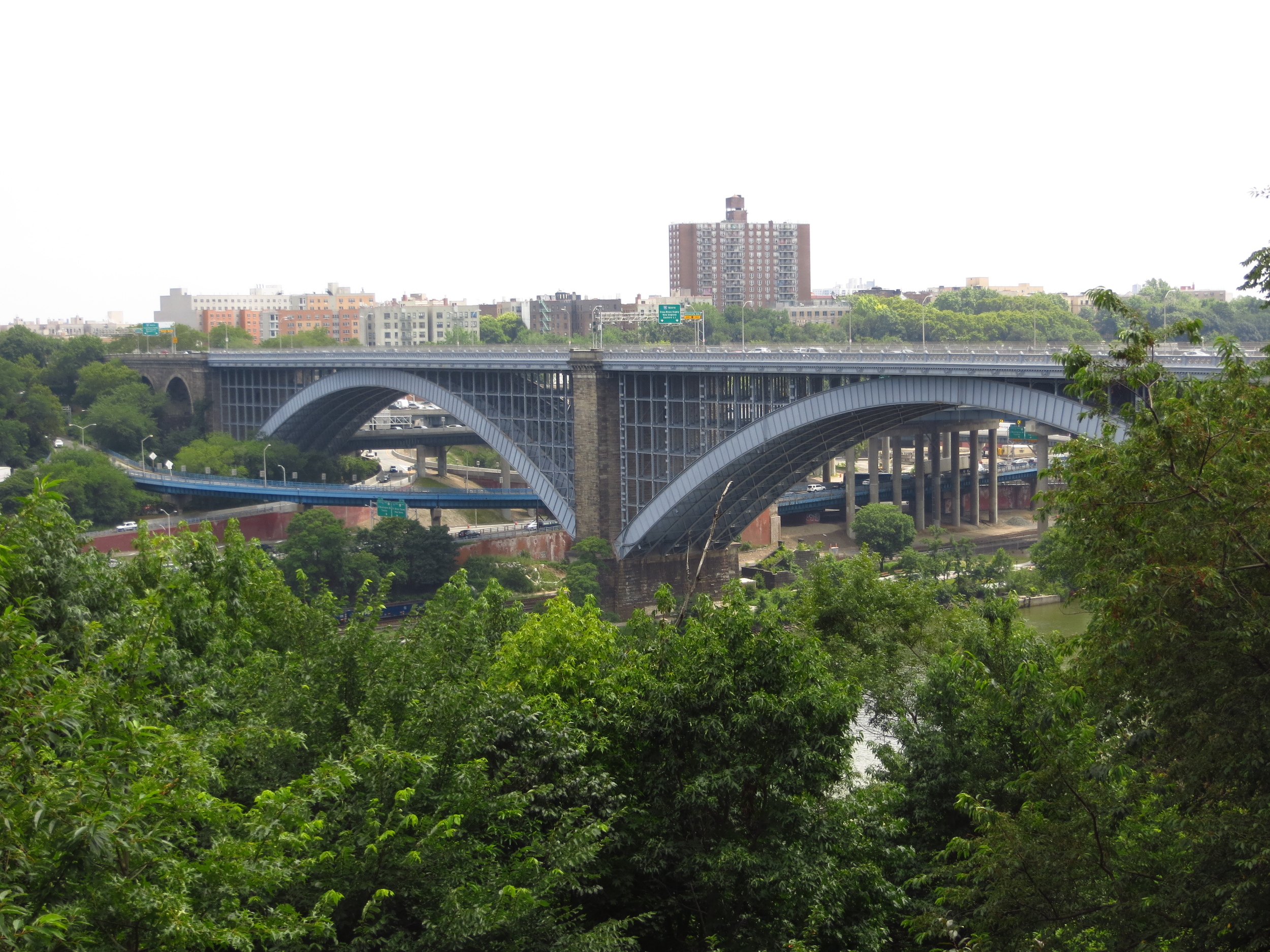
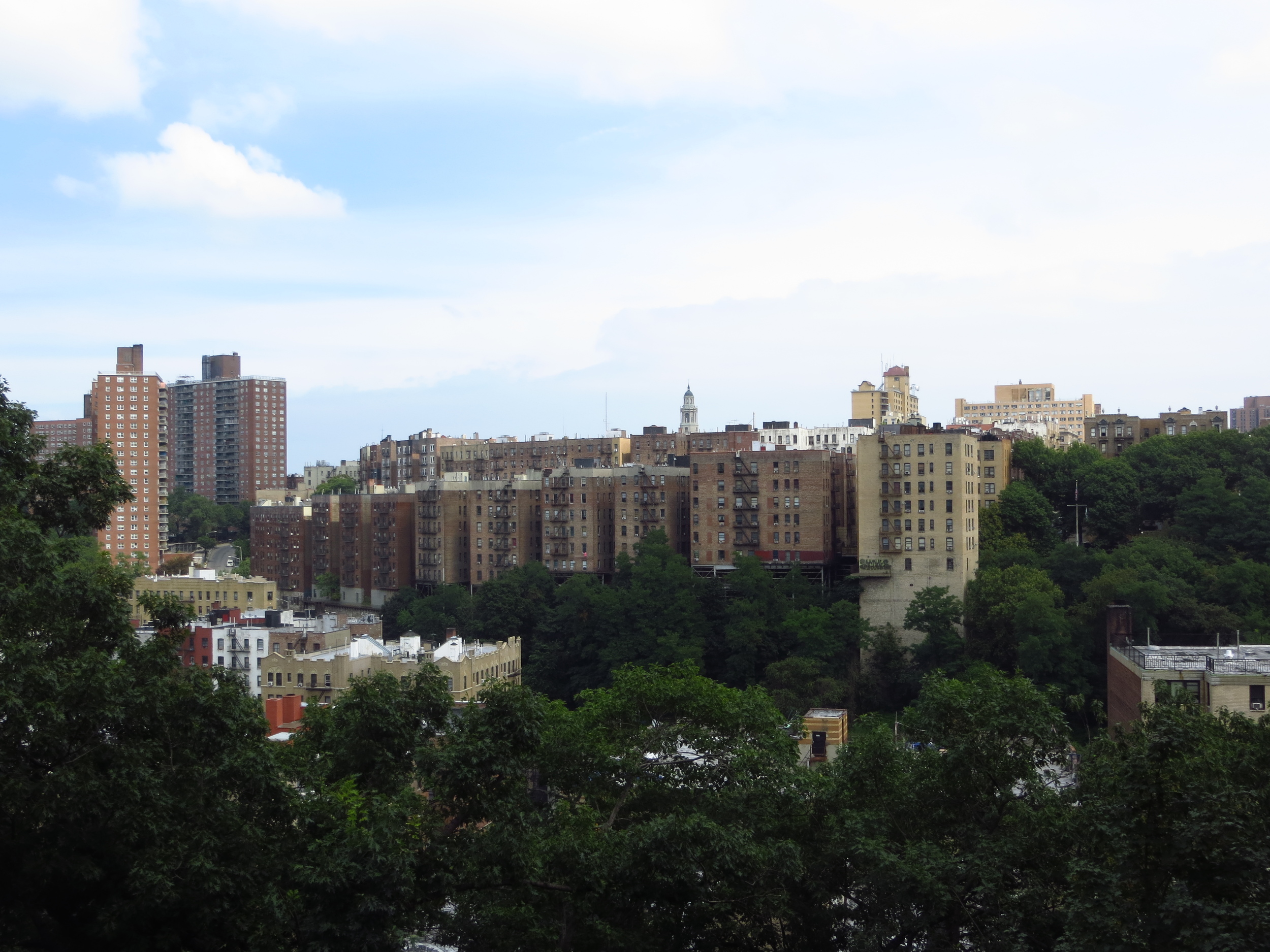
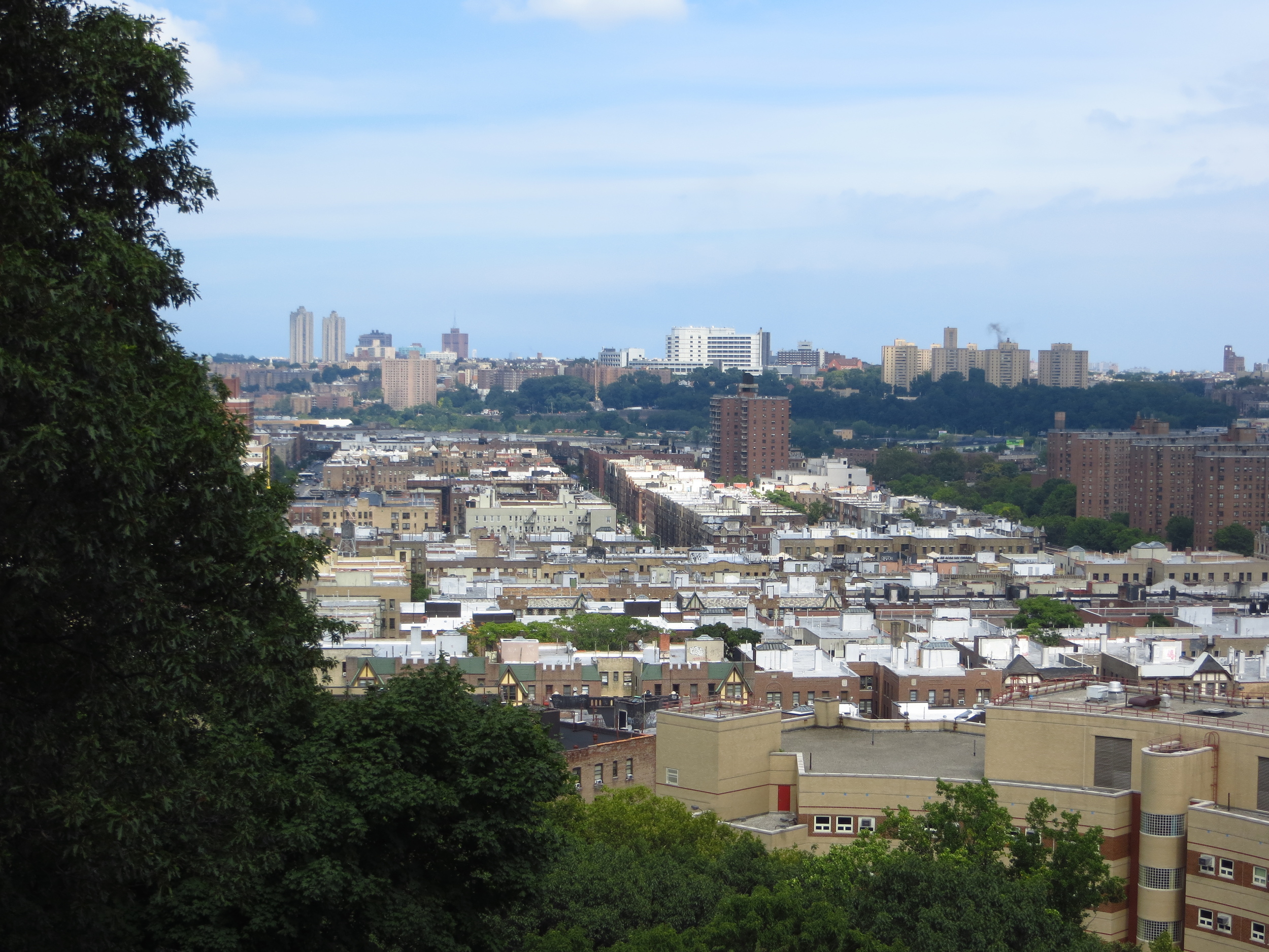
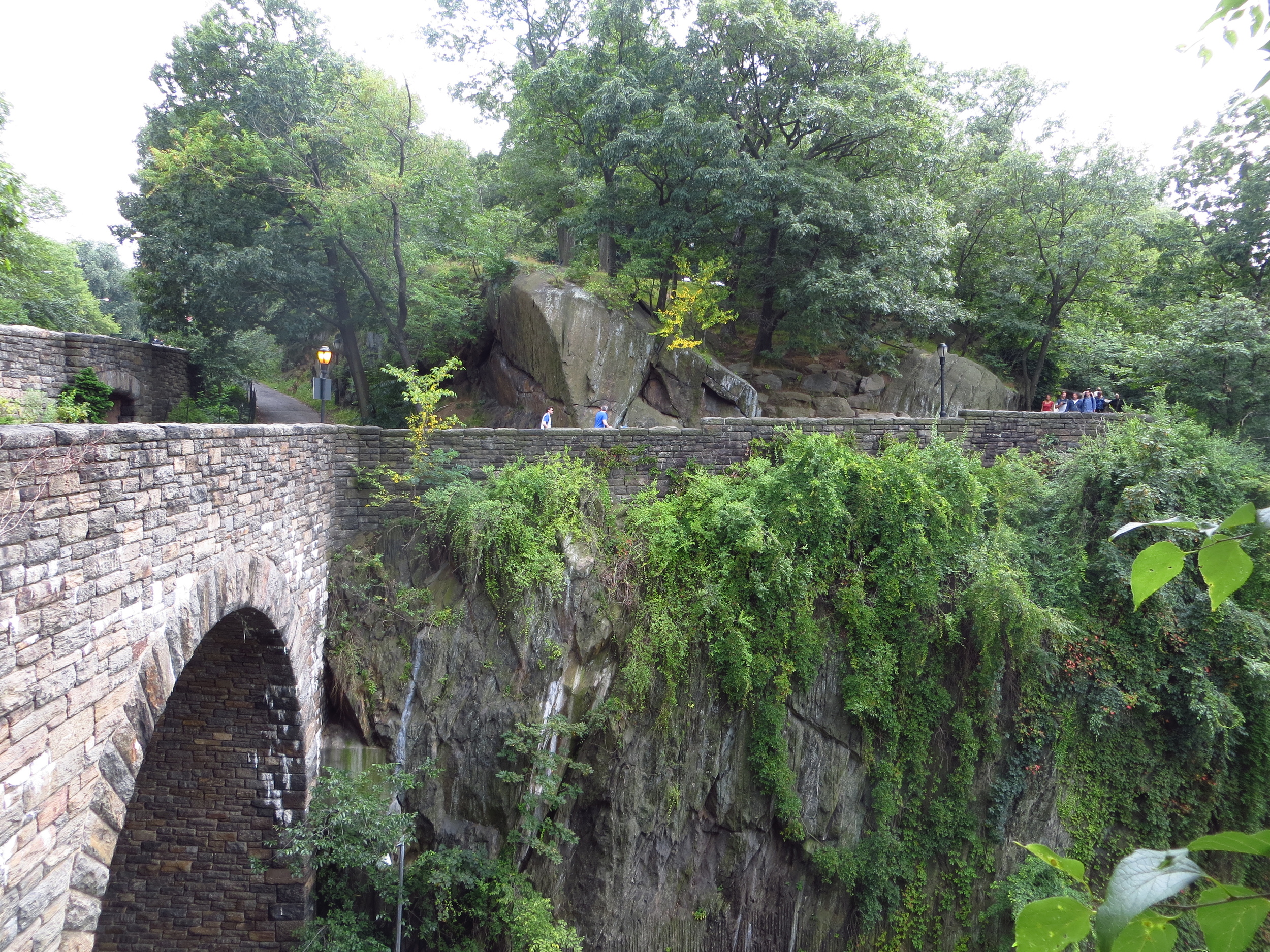
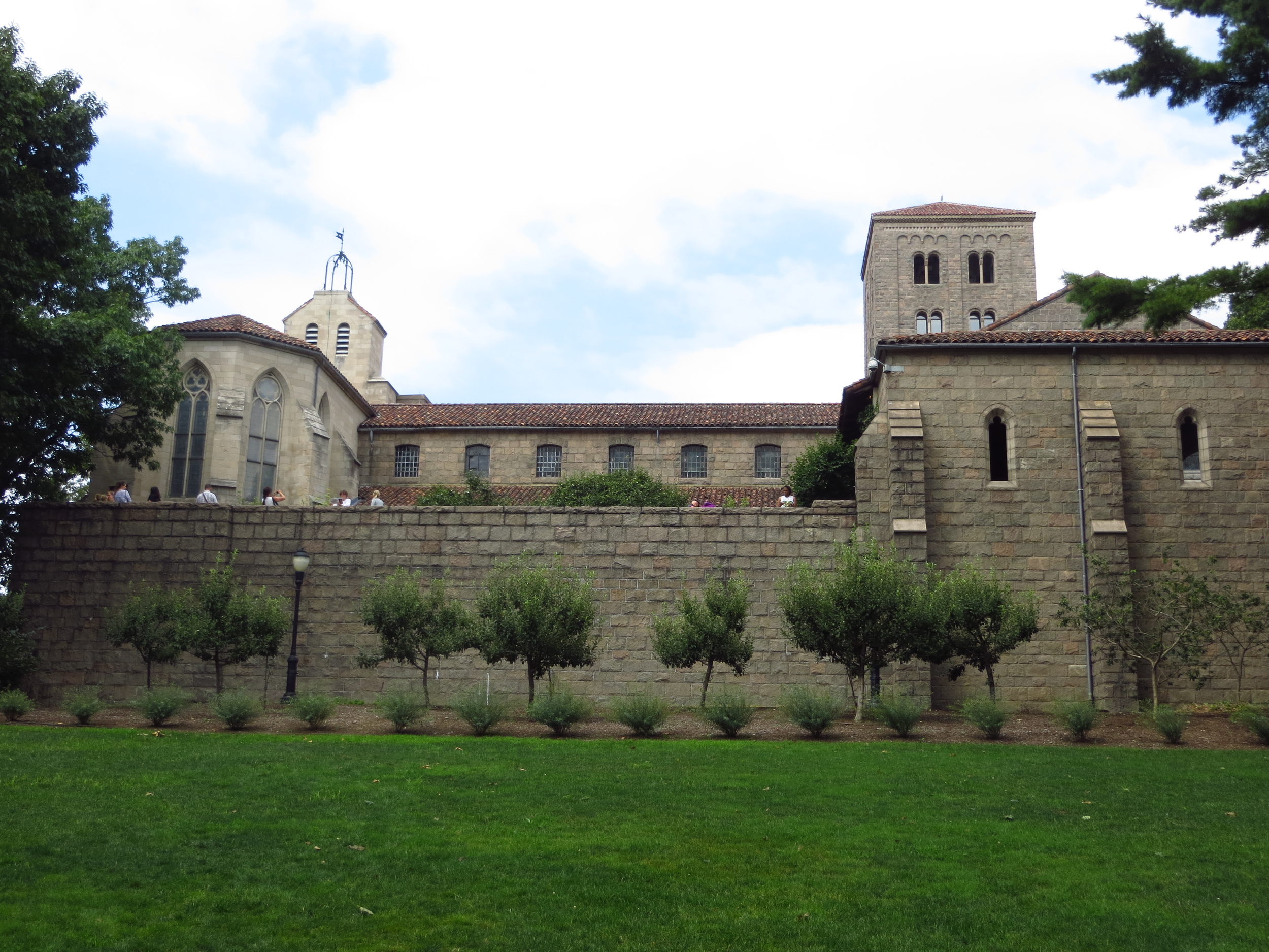
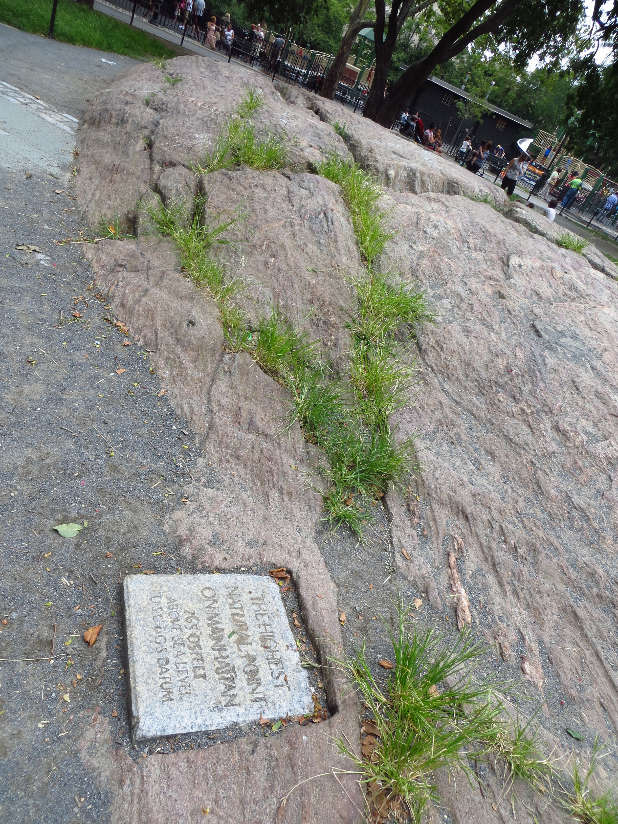
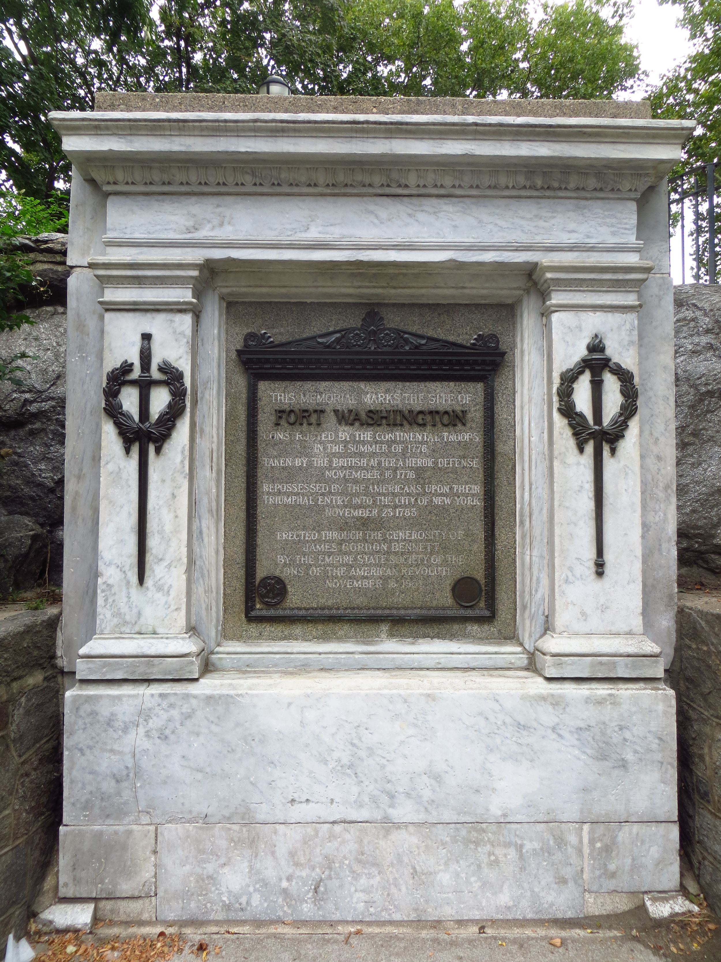
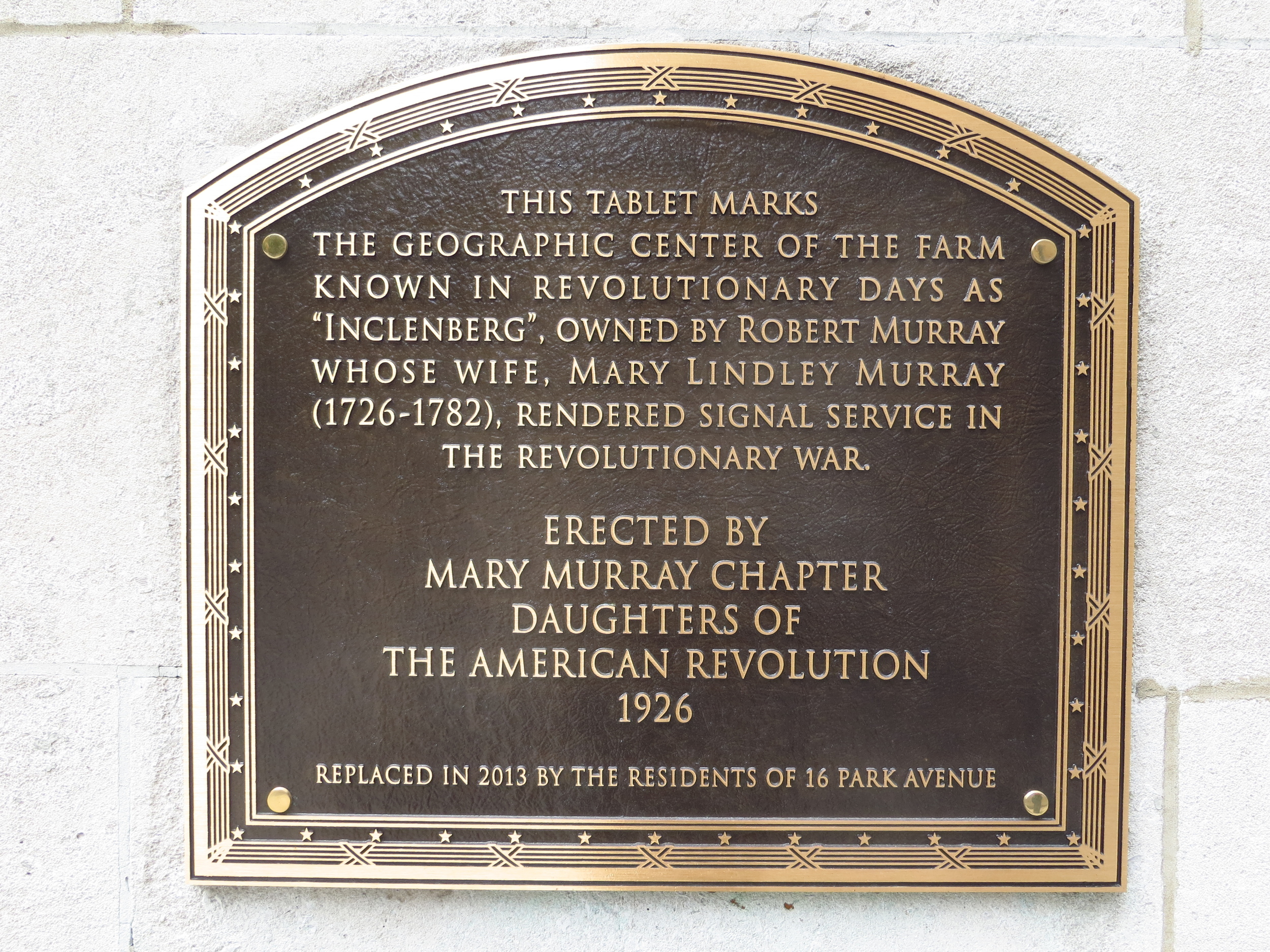
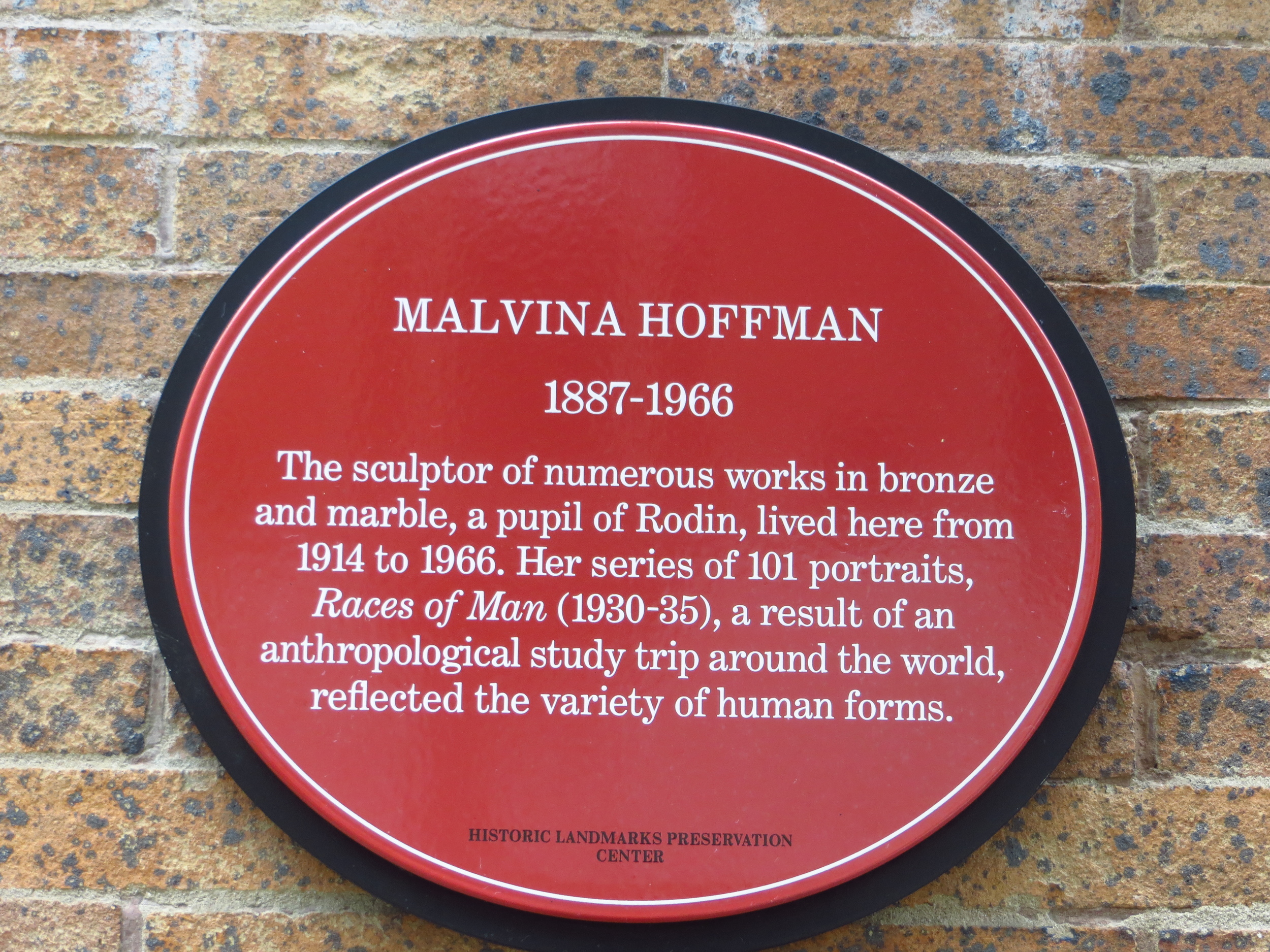
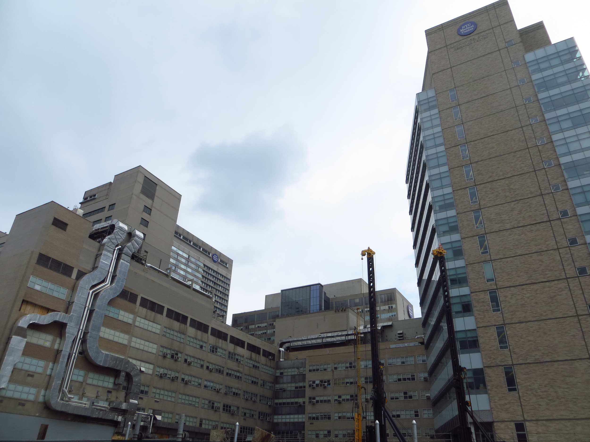
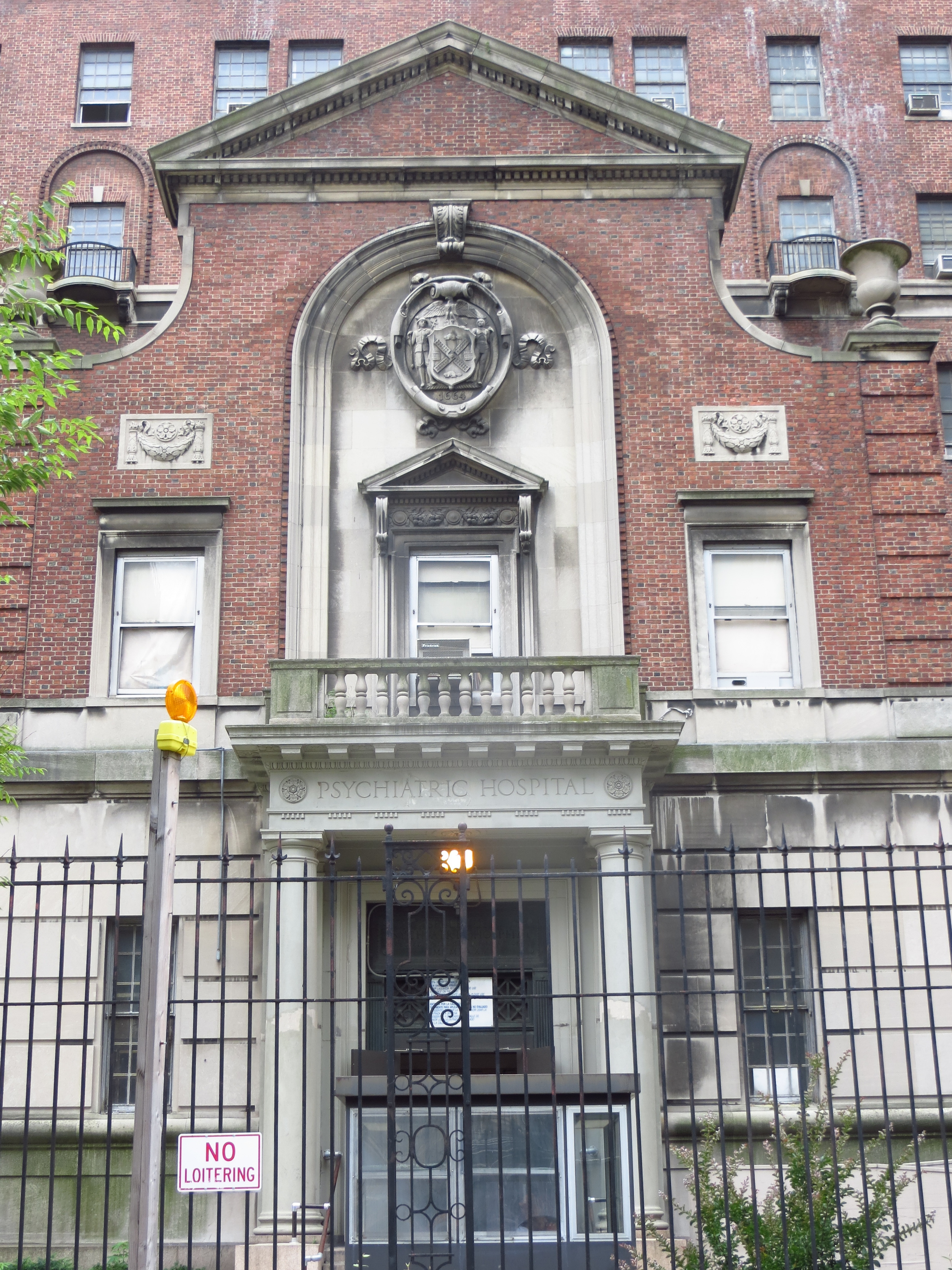
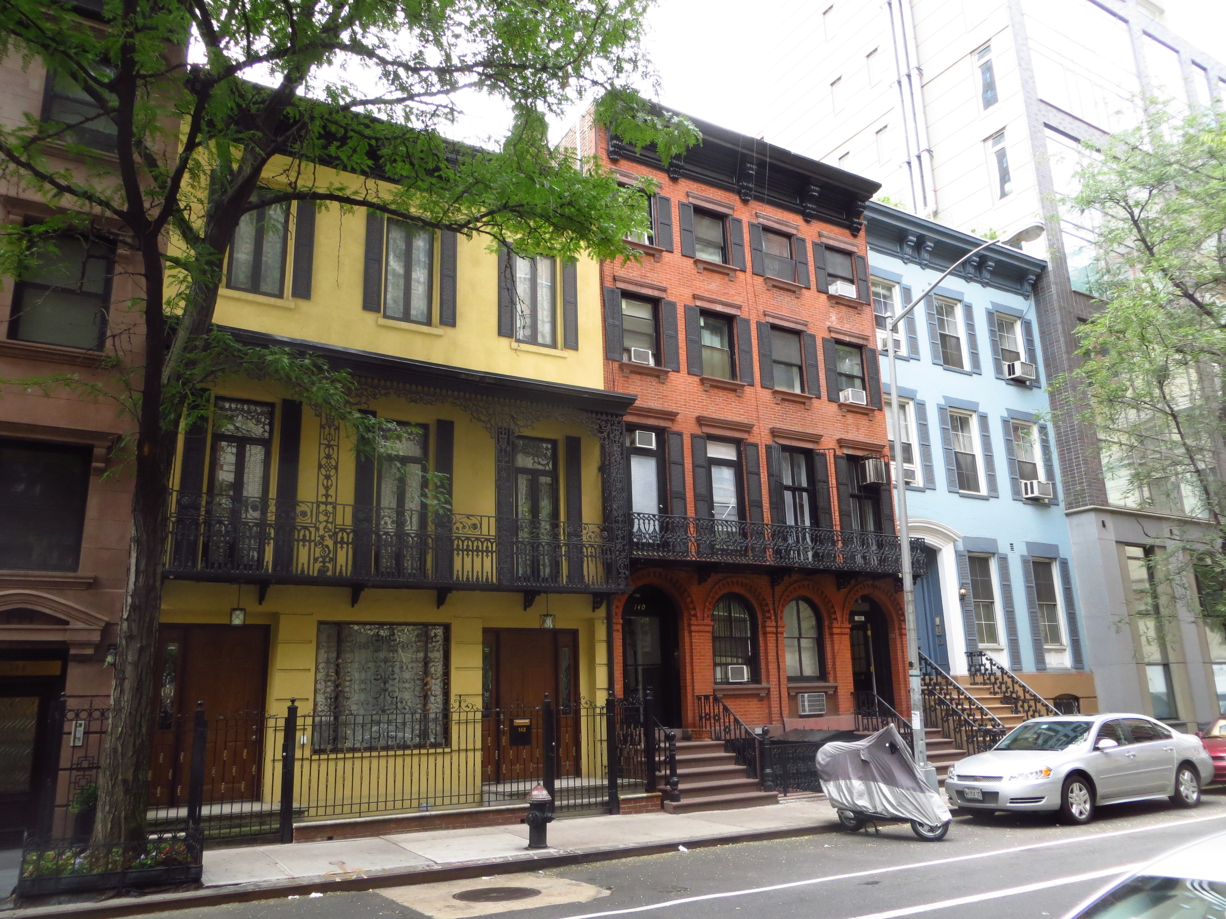
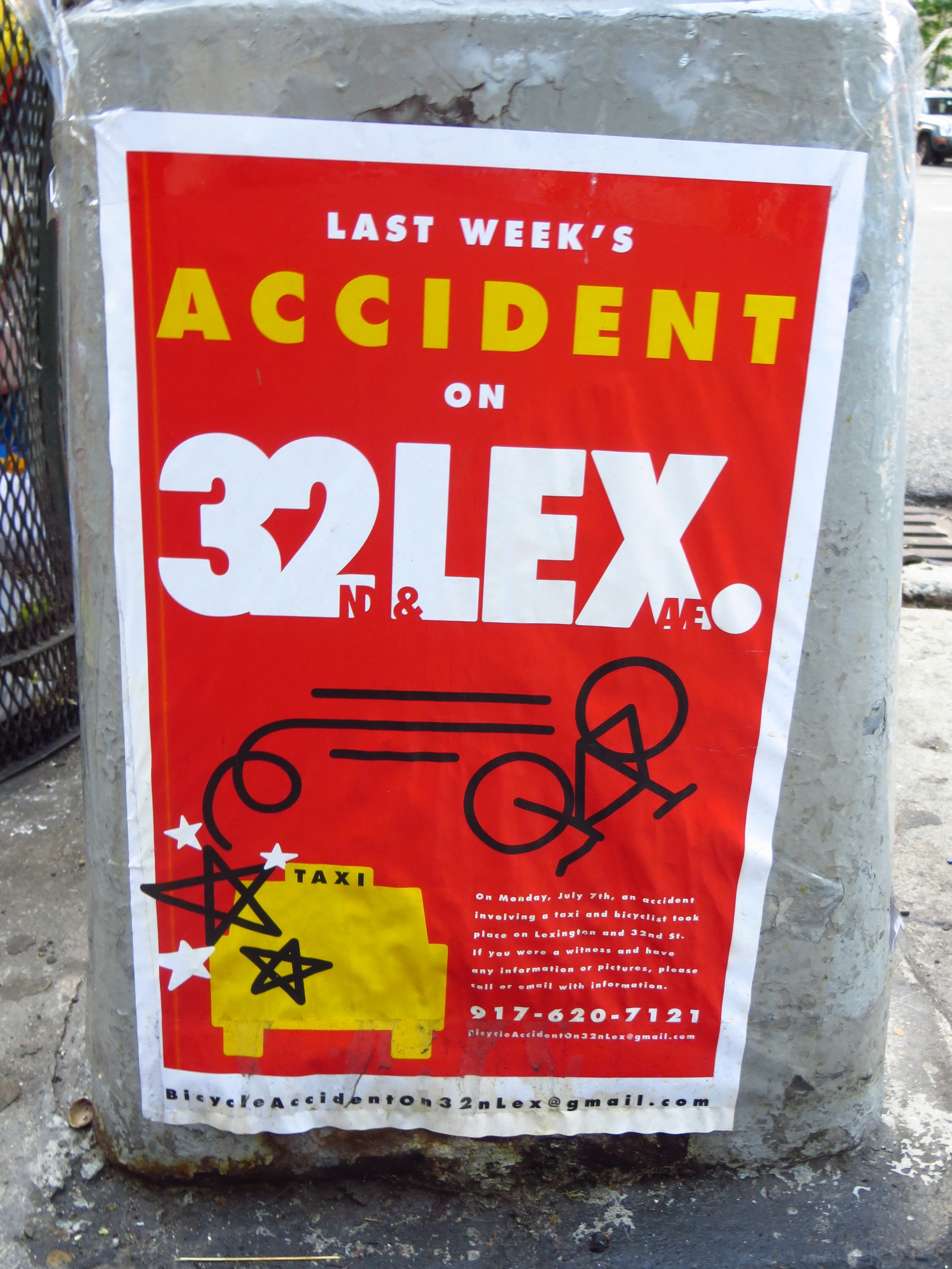
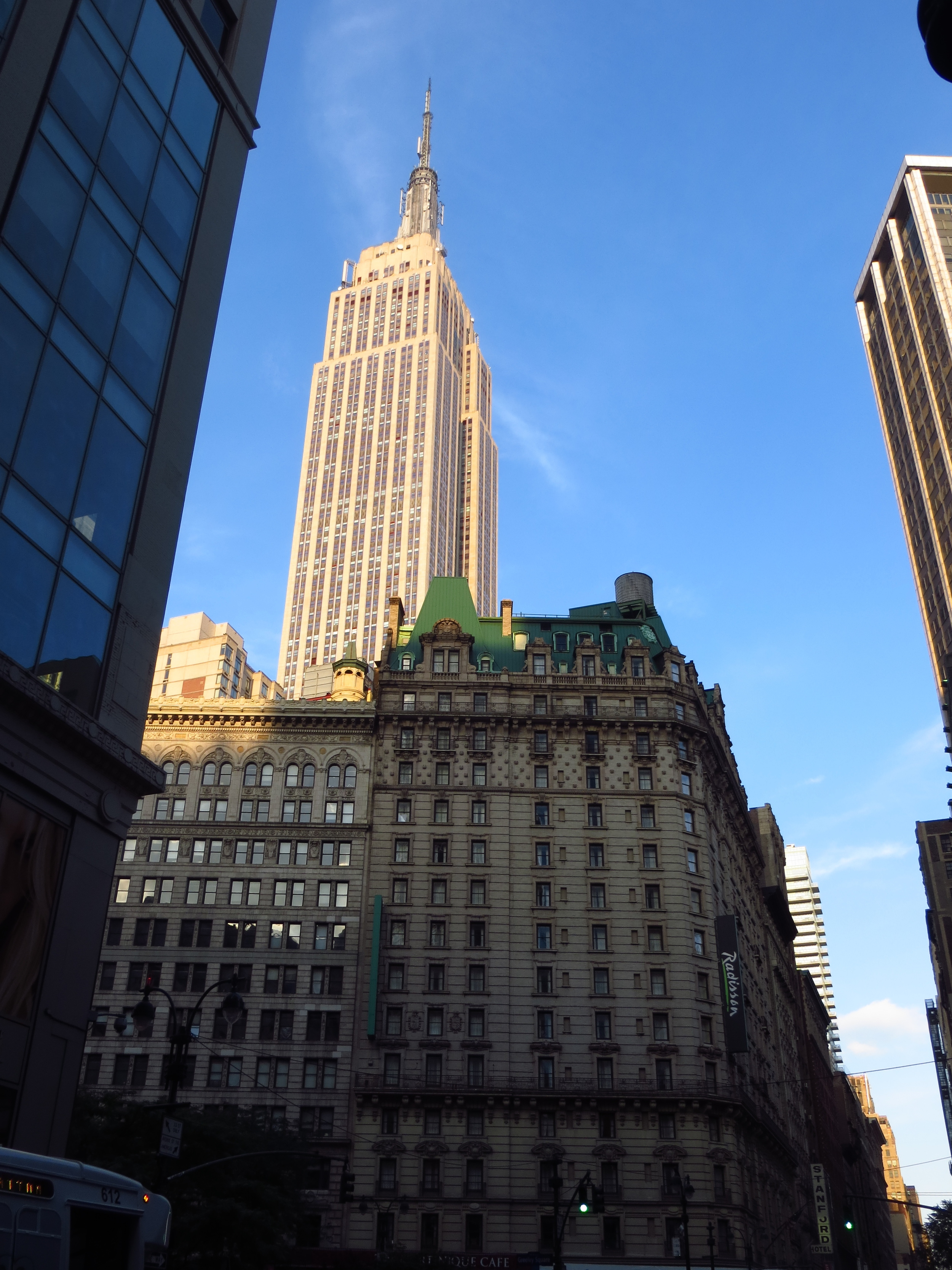
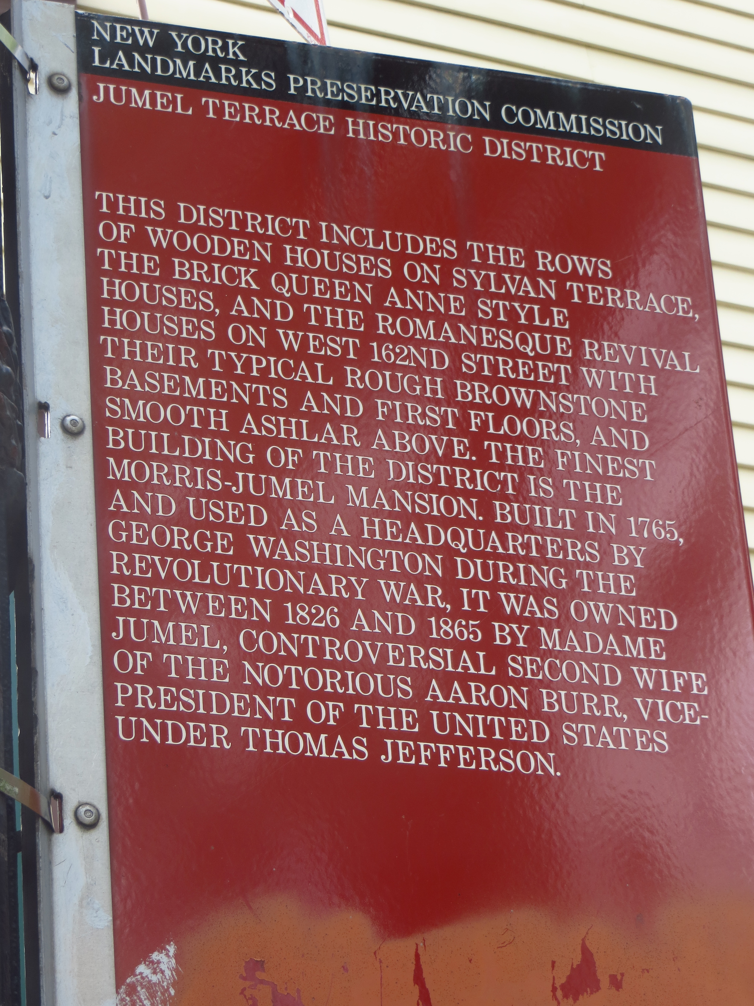
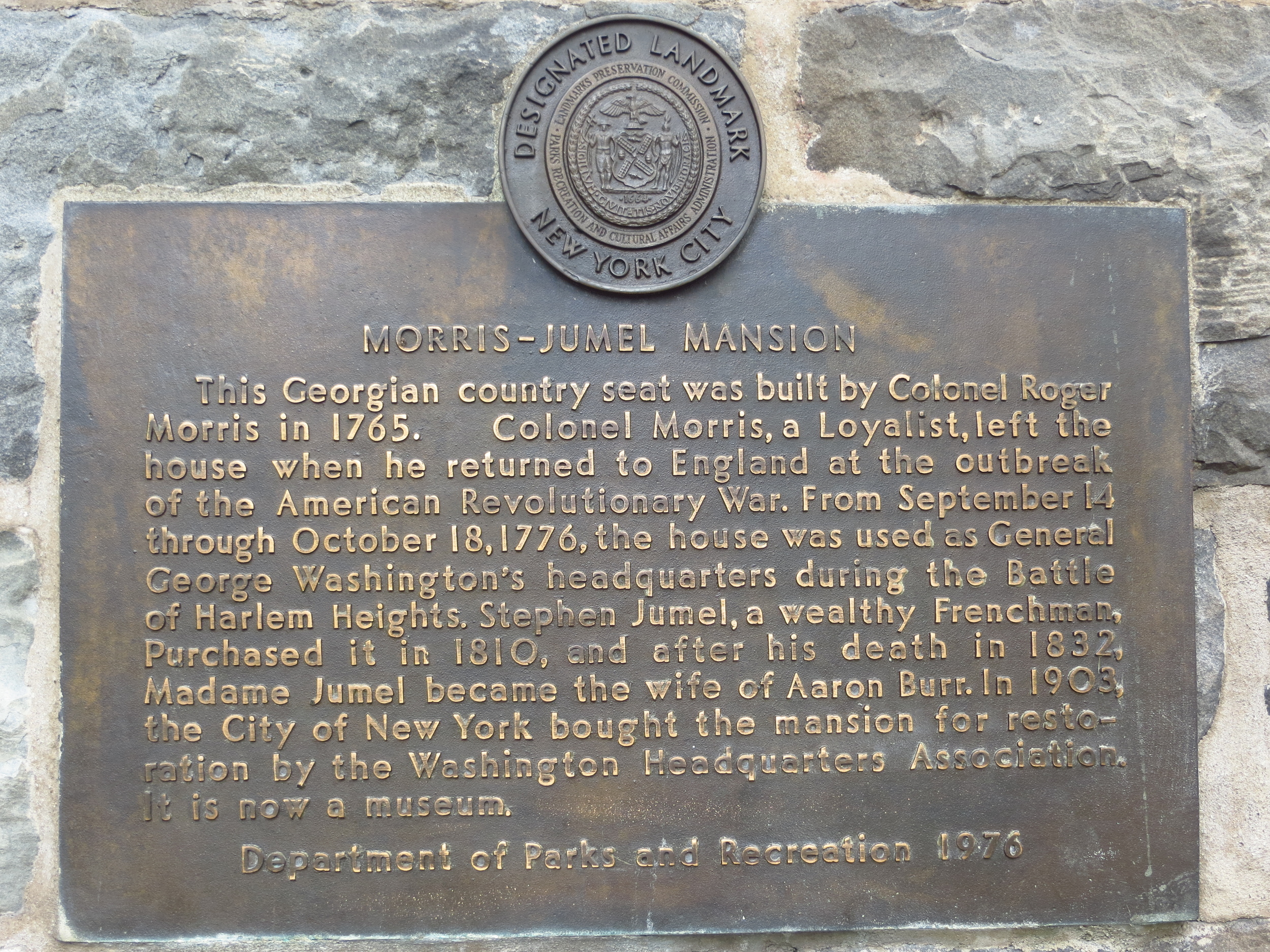
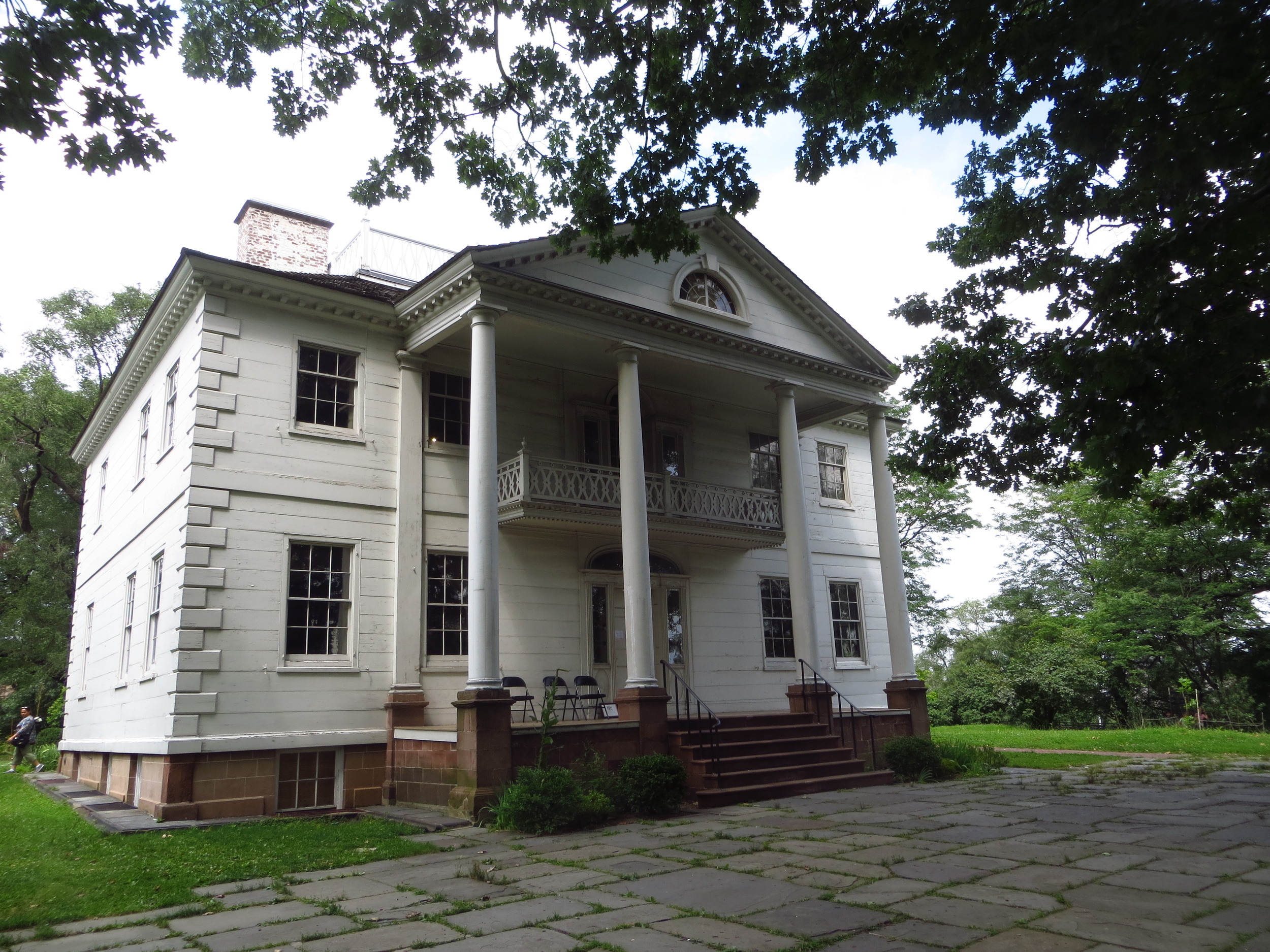
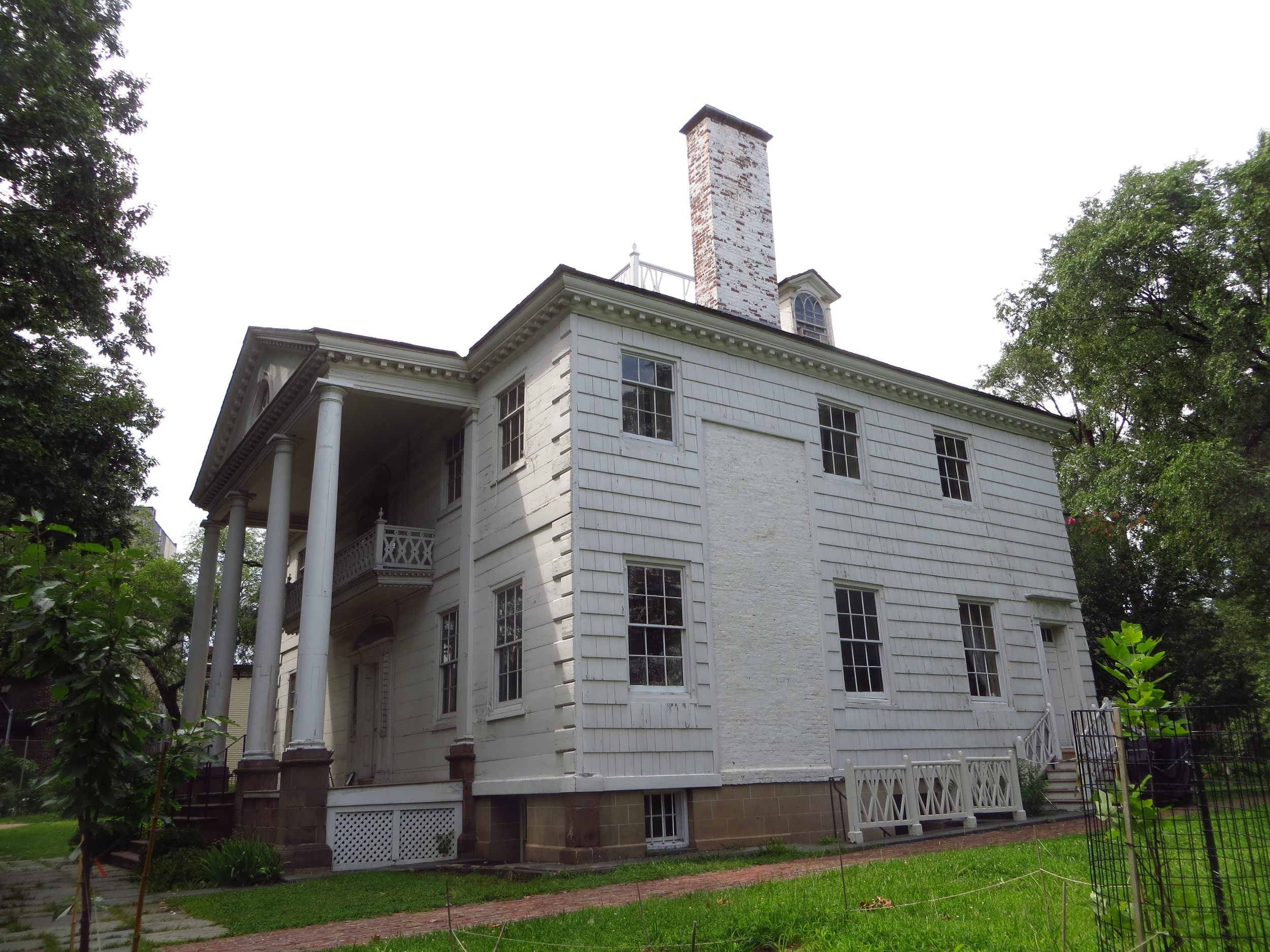
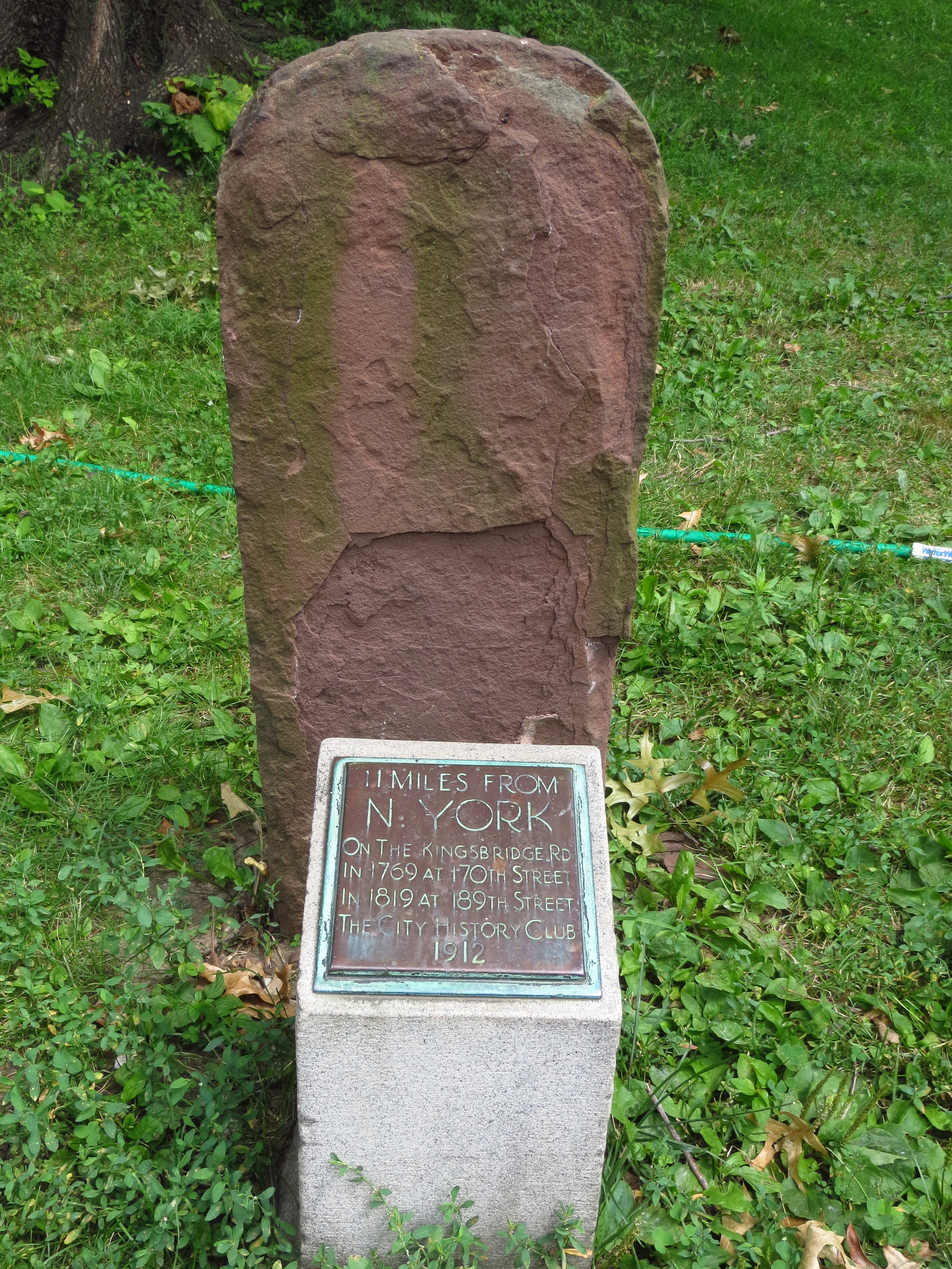
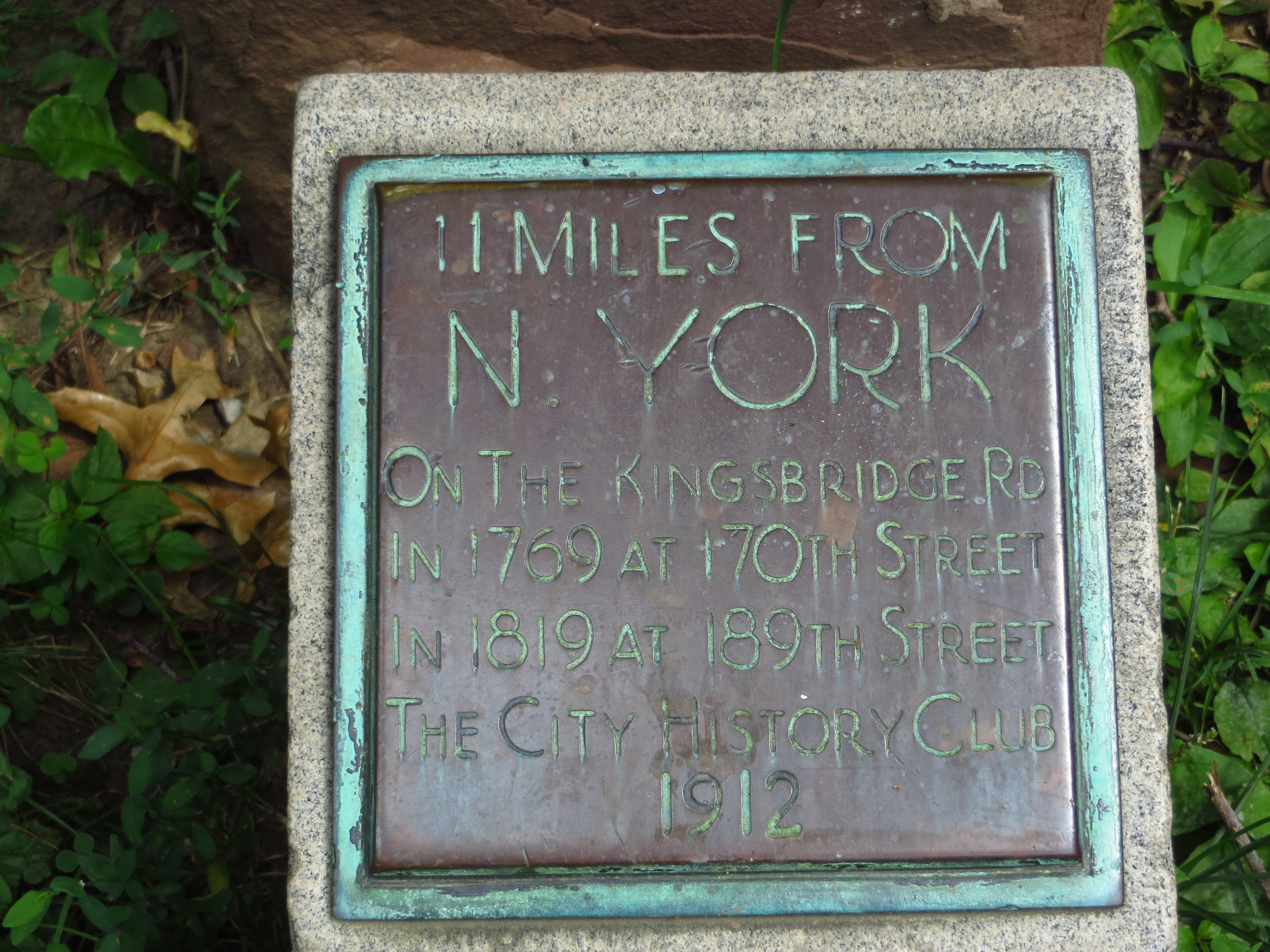
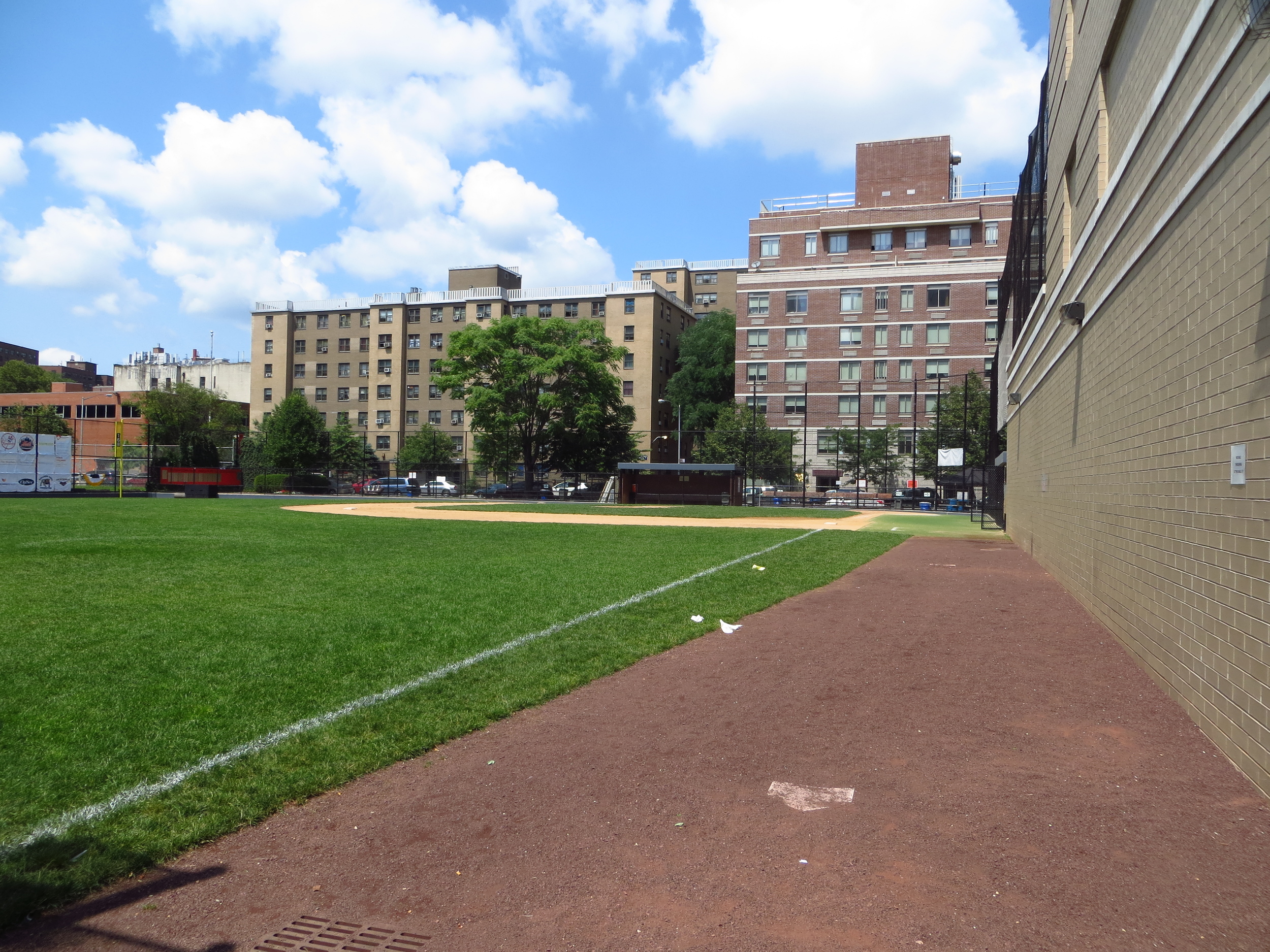
Topographically, the area is made up of two bluffs (one on the east and one on the west) with a valley coinciding with the route of Broadway running through the middle.  Revolutionary War sites were kind of a theme of the day.  There are plaques everywhere commemorating soldiers and events on both sides of the war and I made it up to the site of Fort Washington (discussed in my last Washington Heights post).  Since I've already gone through that part of the area's history, I'm going to tell you the story of The Cloisters (the Metropolitan Museum of Art's medieval art branch), which is really the story of how rich the Rockefellers were.  

In 1917, John D. Rockefeller Jr. purchased a 67 acre piece of land known as the Billings Estate (located on the north end of the west bluff described above).  He then hired the Olmstead Brothers firm (the group that designed Central Park) to craft a design and turn the area into a park, which he then donated to the City in 1935 - today's Fort Tryon Park.  Okay, that's kind of rich.

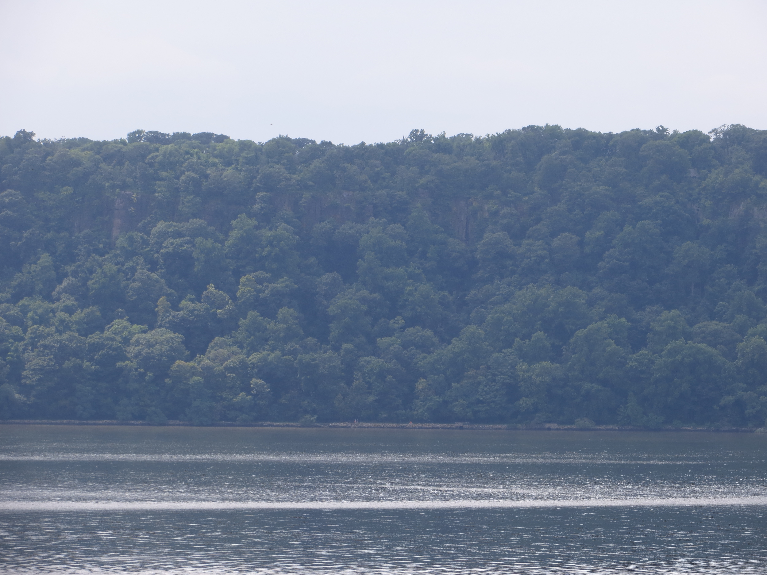
Then, he decided he really liked the view of the cliffs across the Hudson River in New Jersey (known as the Palisades).  He liked it enough that he wanted to make sure nothing ever encroached on it.  So he went and bought that land too - which now comprises 700 acres of today's Palisades Interstate Park.  That's pretty rich, I guess.

Rockefeller, a medieval art enthusiast with a world class collection, then went out and acquired another massive collection of medieval art (like, a museum's worth).  Wow, that' really ri...wait, wait, we're not done yet.  

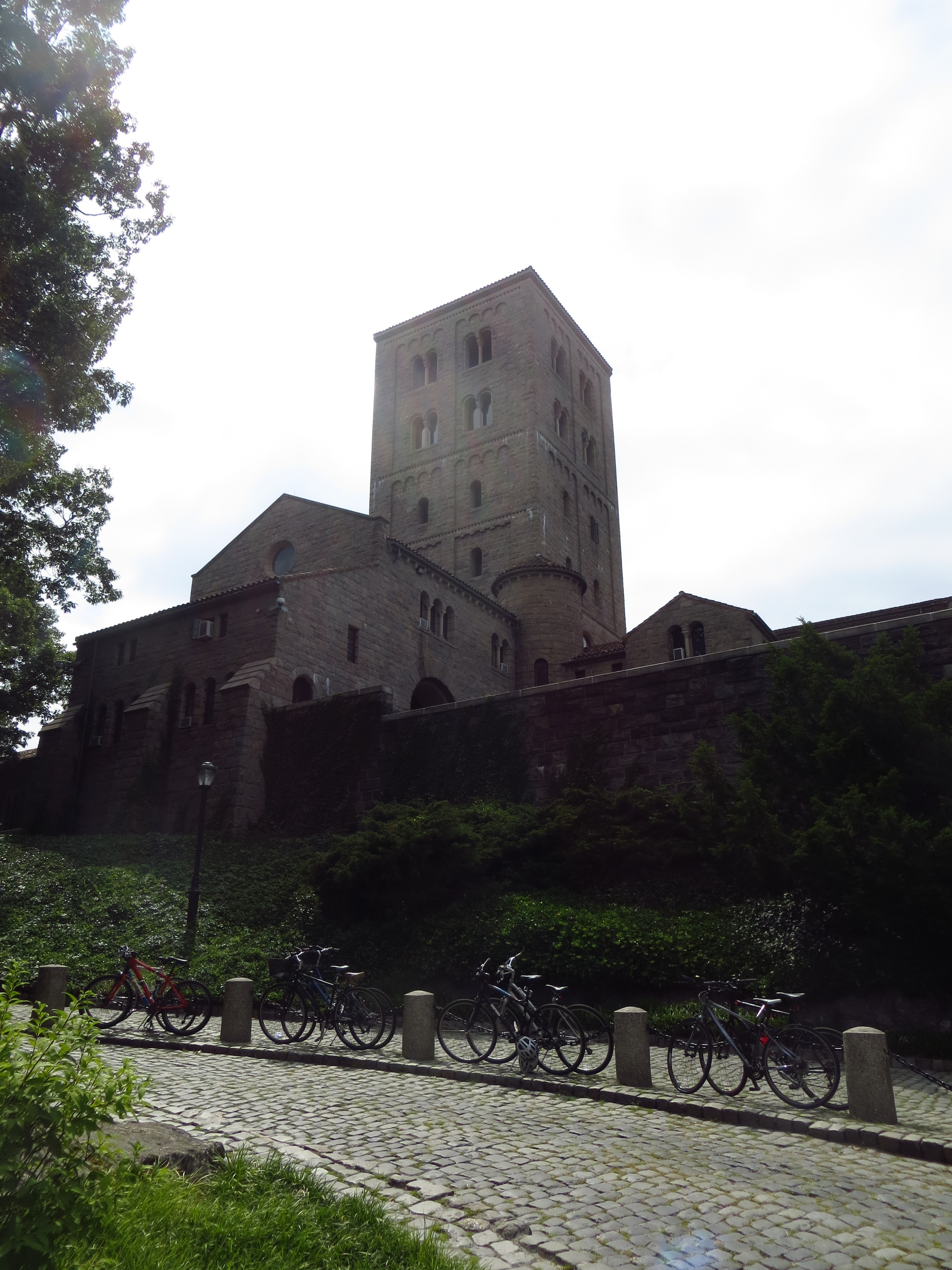
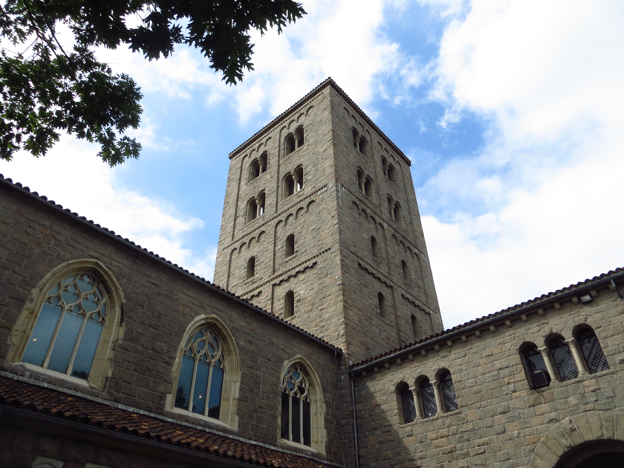
To house all these altar pieces, reliquaries and illuminated manuscripts, he decided to build museum.  And wouldn't it be cool if that museum looked like a medieval monastery?  No.  It would be cool if that museum WAS a medieval monastery.  

Rockefeller went out and bought five European abbeys (I think they were mostly ruined), dismantled the architectural elements brick by brick, shipped them to America, and reassembled them to create the Cloisters.  Which he also gifted to the City.  That's super rich (and I should probably add generous too).

Moral of the story:  Money doesn't buy happiness; it buys beautiful land, breathtaking views, priceless works of art, and important elements of foreign nations' cultural heritage.

Midtown: 35th St. - 30th St.

I made my first real foray into midtown today, walking the blocks from 35th St. through 30th St., about 10 miles.

Today's walk

Today's walk

There are too many neighborhoods in Midtown (which I broadly define as everything between 30th St. and 59th St.) to get into specific histories / boundaries.  On this walk alone I went through 8 (in order of east/ west, north / south; Hell's Kitchen, Chelsea, the Garment District, the Tenderloin, Herald Square, Korea Town, Murray Hill, and Kips Bay).

I passed by the Empire State Building (probably the City's most recognizable landmark after the Statue of Liberty) on this walk.  It was built in 1931, and at 1,454 ft. and 103 stories, it beat the previous record holder (the nearby Chrysler Building) by more than 400 ft.  It maintained its title for almost 40 years until it was overtaken by the North Tower of the World Trade Center in 1970.  Today the ESB ranks #2 in New York, #4 in America and #23 worldwide.  It's impressive today and must have been even more so in the 30's and 40's when most of the buildings in the area were around 1/4 its size.

Less impressive edifices along the walk were Penn Station and Madison Square Garden.  The original Penn Station, a masterpiece in the Beaux-Arts architectural style, was demolished in 1963 to make way for a new sports complex (the 4th incarnation of Madison Square Garden) and office building.  Today Penn Station could best be described as a subterranean labyrinth of despair.

Washington Heights (pt. II)

I went back up to Washington Heights today to fill in the blocks of 156th St. - 168th St. (about 7 miles).

Today's walk

Today's walk

Washington Heights a neighborhood in northern Manhattan, bounded by 155th St. to the south and Dyckman St. to the north.  Like many parts of Manhattan, Washington Heights has a history as an immigrant neighborhood.  Today the area is mostly Dominican, but during the 20th century it had been Irish (early 1900's), Jewish (1930's / 1940's) and Greek (1950's - 1960's).

The neighborhood was named for Fort Washington, a fort built by the Continental Army on the highest point of the island.  Along with it's partner fort, Fort Lee, it was intended to prevent British ships from moving up the Hudson River.  Unfortunately, it fell to the British in November 1776 after Washington's defeat at the Battle of Long Island (in Brooklyn) in August.

One of the landmarks from that era still stands in the neighborhood is the Morris-Jumel Mansion.  Built by British colonel Roger Morris in 1765 (making it the oldest home in Manhattan), the house was abandoned when the Revolutionary War broke out.  After his retreat from Brooklyn, George Washington occupied the mansion and it served as his headquarters for about a month, including during his victory at the Battle of Harlem Heights (to the south).  It was later home to Aaron Burr (third Vice President / dueling gold medalist) during his brief marriage to his second wife, Eliza Jumel.

Other landmarks include Columbia University Medical Center / NY Presbyterian Hospital, which occupies most of the area between 165th St. and 169th St. west of Broadway.  Fun fact - the hospital sits on the former site of Hilltop Park, the original home of the New York Yankees (back when they were called the Highlanders).  In 1913 the team officially changed it's name and moved to the Polo Grounds, a much larger park that sat below the bluff at 155th St.  Here's a picture of the Polo Grounds from the 1913 World Series (you can see the Morris-Jumel Mansion to the right of the water tower).

East Harlem (South)

I did the southern-most blocks of East Harlem today, walking E. 109th St. through E 97th St. (about 10 miles).  I've now done almost 100 blocks of contiguous streets (from 60th - 155th).  That isn't quite as impressive when you consider how much space Central park takes up in those blocks, but it's progress.

Today's walk

Today's walk

I've written more about "Regular Harlem" than I have East Harlem (also known as Spanish Harlem or "El Barrio"), which has a much different character.  Ethnically, it's largely Puerto Rican and economically it's depressed.  The area has the highest rate of unemployment in New York and the highest concentration of public  housing in the US (just behind Brownsville in Brooklyn).

Washington Heights (pt. I)

I'd done a lot on the Upper West and East Sides recently, so I went about 100 blocks north from my last walk to the Washington Heights neighborhood.  I did a quick walk from W. 178th St  through W. 169th St. (about 5 miles) before going back home to watch the World Cup.

Today's walk

Today's walk

I didn't take a lot of pictures because the blocks I covered were largely comprised of low-rise brick residential buildings and fairly homogeneous.  I'll save a larger discussion of the neighborhood and it's landmarks/history for another (longer) walk.